The best mountain hikes around Caderzone Terme
4.8
(16)
125
hikers
7
hikes
Mountaineering routes around Caderzone Terme are situated within the Adamello-Brenta Nature Park, offering a diverse alpine environment. The region is characterized by the rugged limestone peaks of the Brenta Dolomites and the majestic glaciers of the Adamello-Presanella group. Numerous pristine alpine lakes, such as Lake San Giuliano and Lake Valagola, are embedded among the rocks, while the Sarca River flows through the valley, complemented by extensive forests and meadows. This landscape provides a rich setting for various mountaineering pursuits.
Best…
Last updated: August 14, 2026
4.7
(3)
22
hikers
Moderate mountaineering route. Good fitness required. Mostly accessible paths. Sure-footedness required.
5.0
(2)
22
hikers
10.9km
04:21
550m
560m
Moderate mountaineering route. Good fitness required. Mostly accessible paths. Sure-footedness required.

Sign up for free
5.0
(1)
22
hikers
17.3km
07:57
1,120m
1,120m
Hard mountaineering route. Very good fitness required. Sure-footedness, sturdy shoes and alpine experience required.
5.0
(2)
9
hikers
15.7km
07:43
1,210m
1,210m
Hard mountaineering route. Very good fitness required. Sure-footedness, sturdy shoes and alpine experience required.
1
hikers
Hard mountaineering route. Good fitness required. Sure-footedness, sturdy shoes and alpine experience required.
Get access to more routes and recommendations from other explorers.
Sign up for free
Already have an account?
Our route recommendations are based on thousands of hikes, rides, and runs completed by other people on komoot.
Start today with a free account
Your next adventure awaits.
Login or Signup
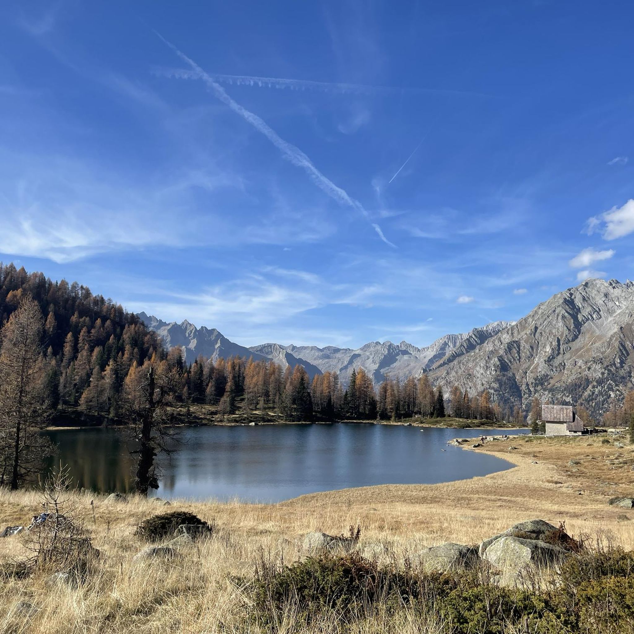
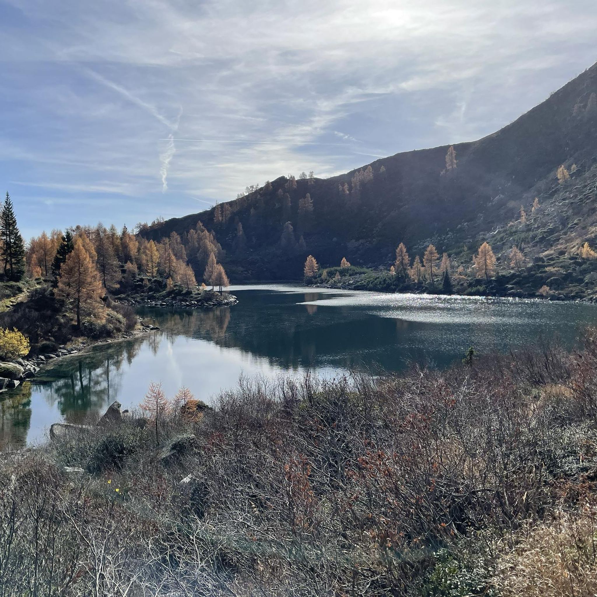
Other adventures around Caderzone Terme

Tips from the Community

although the journey from Lake Garda is a bit long, it is definitely worth it, as the drive through Val Nambrone is adventurous
0
0

A very nice hut. While you're there, don't miss the ice cave "Silvia's Cave," which is only 10 minutes away. To get there, simply walk towards the chapel, and there's a small sign directing you to the cave!
1
0
A great via ferrata with plenty of ladders – it can be done as a half-day tour from Rif. Cacciatore. https://www.via-ferrata.de/klettersteige/topo/via-ferrata-castiglioni
2
0


For all Alpine crossers! The fun ends at Lago di Val D'Agola; beyond the lake, the merciless climb up to the Bärenpass begins 😅.
0
0

Very nice refuge, well kept and clean. Very attentive and helpful managers. The surrounding environment is truly suggestive and relaxing.
1
0

This small bridge allows you to cross the Sarca di Amola torrent, which rises just above, on the slopes of the Segantini peak.
0
0

At the foot of the Brenta Dolomites, also clearly visible and fascinating here, and above Caderzone Terme, from this panoramic point you can especially see the lovely Vacarsa lake. At about 1,910 meters above sea level, this alpine lake is not far from the San Giuliano and Garzonè basins.
0
0
Frequently Asked Questions
How many mountaineering routes are available around Caderzone Terme?
This guide features 11 mountaineering routes around Caderzone Terme. These routes primarily range from moderate to difficult, offering diverse challenges within the Adamello-Brenta Nature Park.
Are there any moderate mountaineering routes suitable for those with some experience?
Yes, there are two moderate mountaineering routes. One option is the Rifugio Cornisello – Lago Nero loop from Lago di Cornisello Inferiore, which is about 9.5 km long and takes around 3 hours 48 minutes. Another is the Lago di San Giuliano – Lago di Garzoné loop from Pöc da li Fafc, covering 10.9 km in approximately 4 hours 20 minutes.
What are some challenging mountaineering routes in the area?
For experienced mountaineers, routes like the Rifugio XII Apostoli loop from Pinzolo offer a significant challenge, spanning 16.4 km with considerable elevation gain. Another demanding option is the Lago di Valagola – Rifugio XII Apostoli loop from Parcheggio di Valagola, which is 15.8 km long and features over 1200 meters of ascent.
Are there any circular mountaineering routes around Caderzone Terme?
Yes, many of the mountaineering routes in the area are circular. Examples include the Rifugio Cornisello – Lago Nero loop and the Lago di San Giuliano – Lago di Garzoné loop, both offering a return to your starting point after exploring the alpine landscapes.
What natural attractions can I expect to see along these routes?
The routes often pass by stunning alpine lakes such as Lake Valagola, the San Giuliano lakes, Lake Garzonè, and Lake Vacarsa. You'll also experience the dramatic landscapes of the Brenta Dolomites and the Adamello-Presanella glaciers. Some routes offer views of impressive waterfalls like the Nardis Waterfalls or the Casina Muta Waterfall, and traverse through scenic valleys like Val Genova.
Are there any mountain huts along the mountaineering trails?
Yes, the region has several mountain huts that can serve as resting points or starting locations for longer excursions. Notable huts include Casinei Hut, Rifugio Adamello Collini al Bedole, Rifugio San Giuliano, and Fontanabona refuge. These provide essential facilities in the high-alpine environment.
What is the best time of year for mountaineering in Caderzone Terme?
The best time for mountaineering in Caderzone Terme is typically during the warmer months, from late spring to early autumn (June to September), when trails are generally clear of snow and weather conditions are more stable. However, conditions can vary, especially at higher altitudes, so always check local forecasts.
Are there any viewpoints or panoramic spots on these routes?
Many routes offer spectacular views of the surrounding Brenta Dolomites and the Adamello-Presanella glaciers. For instance, the San Giuliano lakes provide breathtaking vistas of Cima Presanella and the Carè Alto-Adamello glaciers. The Bocchetta dell'Acqua Fredda, an alpine pass at 2,184 meters, also offers splendid panoramic views of the Brenta mountains.
What is the general difficulty level of mountaineering in Caderzone Terme?
The mountaineering routes around Caderzone Terme are predominantly moderate to difficult. While there are no easy routes listed in this guide, the moderate options are suitable for those with some hiking experience, while the difficult routes require good physical condition and mountaineering skills.
Where can I find parking for these mountaineering routes?
Specific parking information varies by trailhead. For routes like the Lago di Valagola – Rifugio XII Apostoli loop, parking is available at Parcheggio di Valagola. For other routes, starting points like Lago di Cornisello Inferiore or Pöc da li Fafc typically have designated parking areas nearby. It's advisable to check the specific route details for precise parking locations.
Can I reach the trailheads using public transport?
While Caderzone Terme itself is accessible, reaching specific high-alpine trailheads often requires private transport. Some routes, like those starting from Pinzolo, might be more accessible via local bus services from Caderzone Terme. For detailed public transport options, it's best to consult local transport schedules or tourist information, such as the Visit Trentino website for Caderzone Terme.
Most popular routes around Caderzone Terme
Most popular attractions around Caderzone Terme

Get inspired with the komoot mobile app


Explore more
Browse the best Mountain Hikes & Routes in other regions.
