The 16 Most Amazing Peaks around Mezzolombardo
Best mountain peaks around Mezzolombardo are found in Italy's Trentino region, which is characterized by diverse mountainous terrain. The area provides a natural backdrop of peaks and valleys, with vineyards and historical sites contributing to its landscape. Mezzolombardo is situated at the foot of Monte Fausior, offering direct access to the local mountain environment. This region provides varied outdoor experiences for visitors.
Best mountain peaks around Mezzolombardo
- The most popular mountain peaks is Cima Paganella, a summit that is…
Last updated: July 6, 2026
Cima Paganella
Highlight • Summit
Translated by Google •
Tip by

Rifugio La Roda
Highlight • Mountain Hut
Translated by Google •
Tip by

Sign up now to discover places like this
Get recommendations on the best single tracks, peaks, & plenty of other exciting outdoor places.
Sign up for free
Monte Calisio Summit Cross
Highlight • Summit
Translated by Google •
Tip by

Dos Le Grave
Highlight • Viewpoint
Translated by Google •
Tip by

Doss Castel
Highlight • Historical Site
Translated by Google •
Tip by
Sign up for free to discover even more peaks around Mezzolombardo.
Sign up for free
Already have an account?
Start today with a free account
Your next adventure awaits.
Login or Signup
Popular around Mezzolombardo
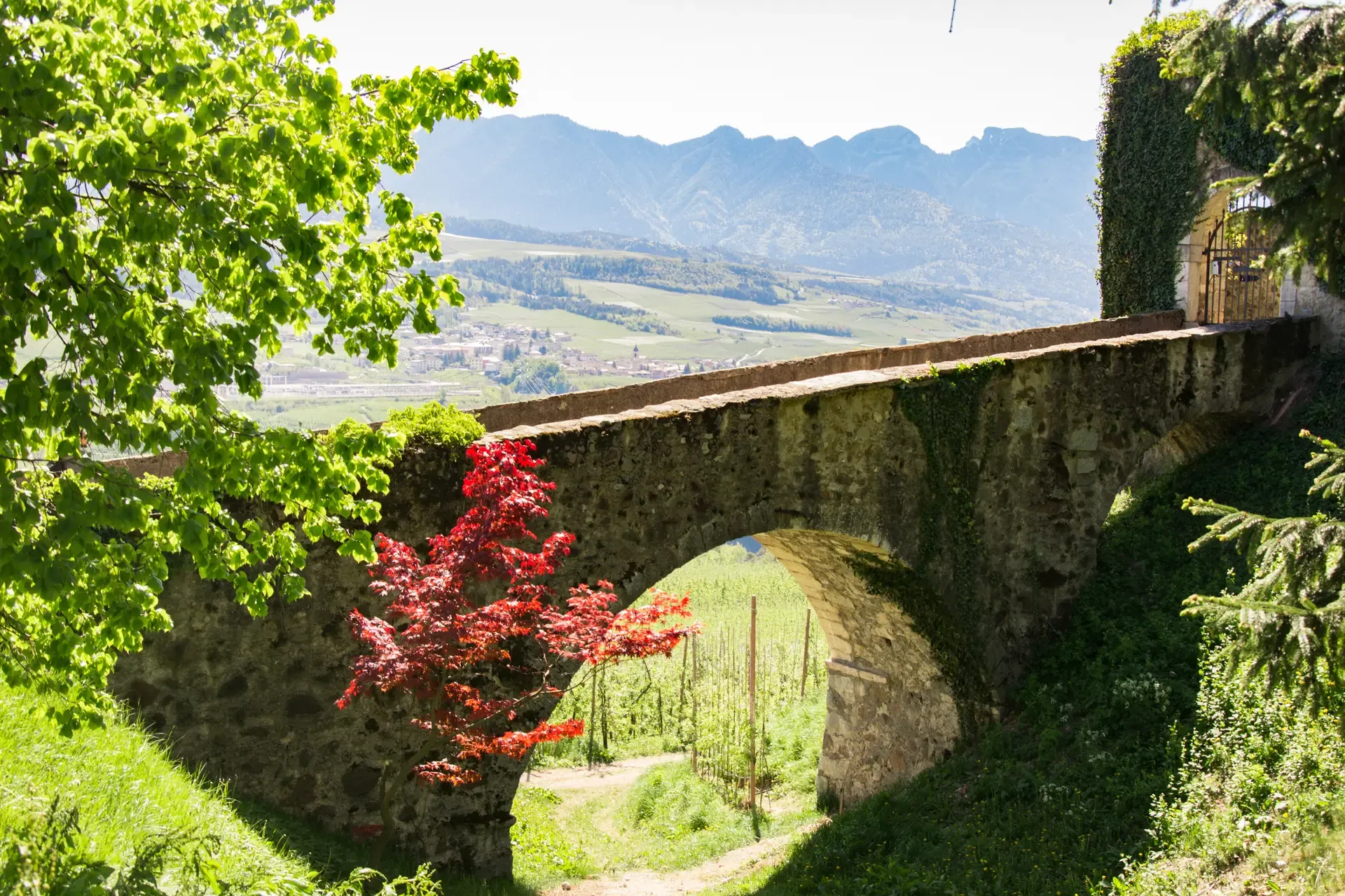
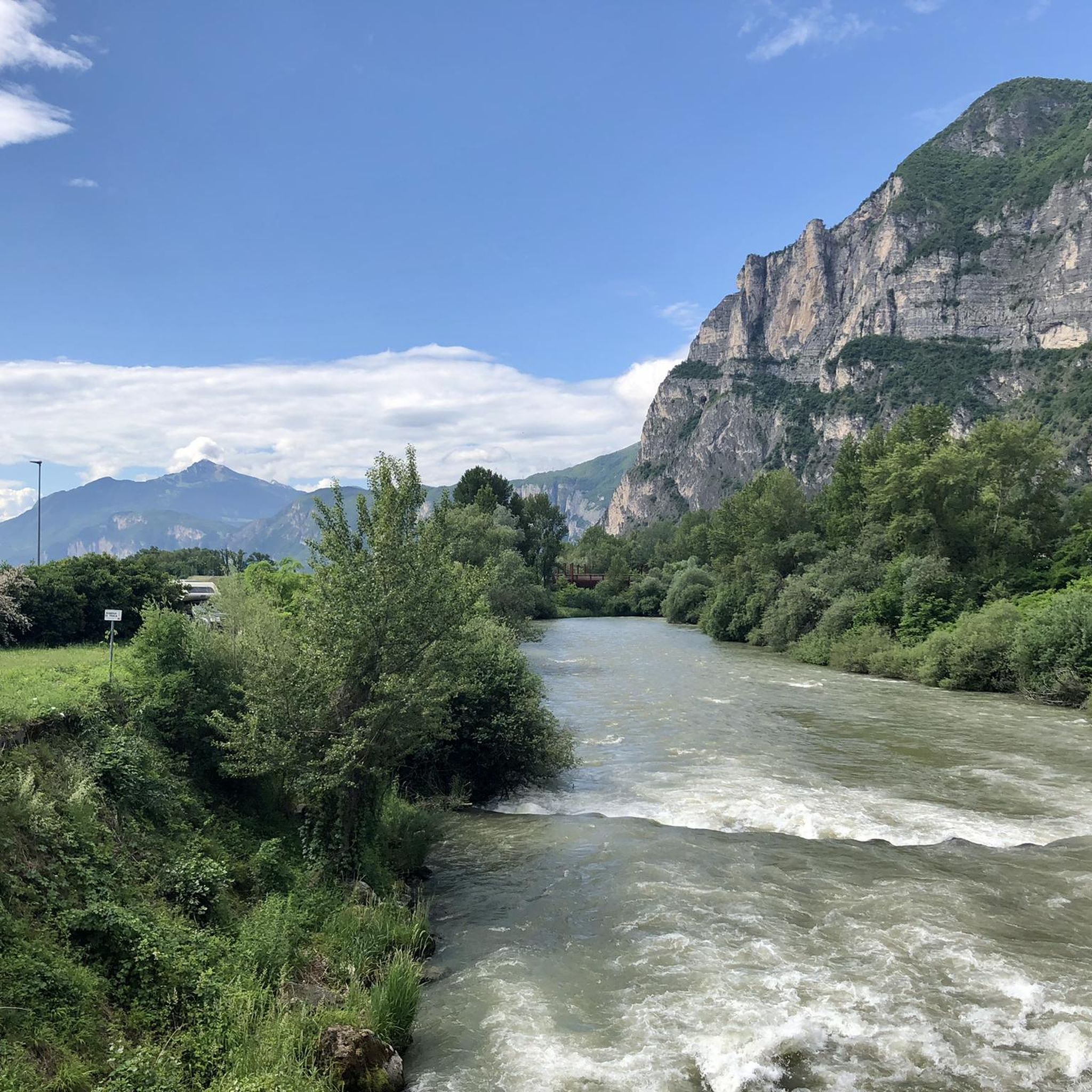
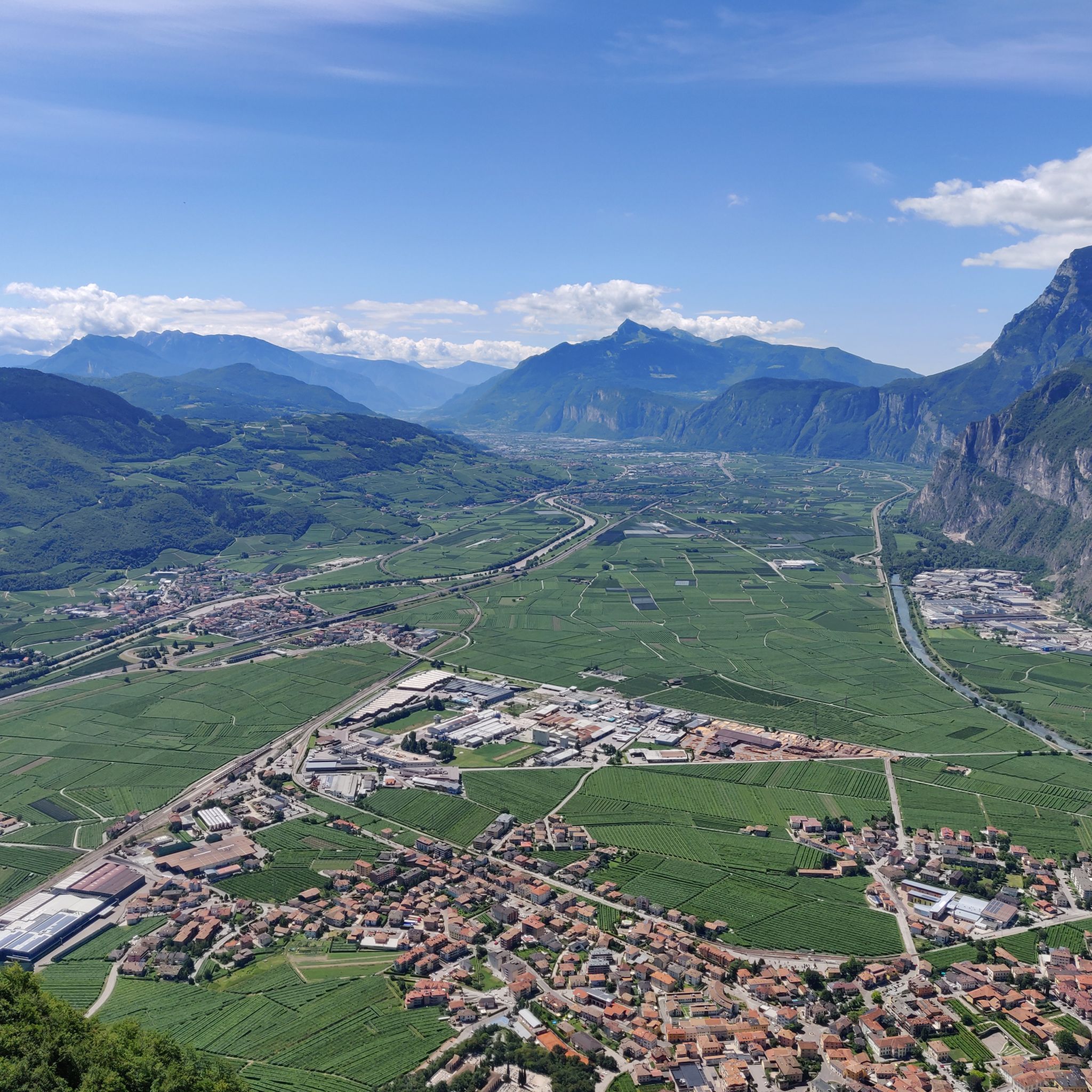
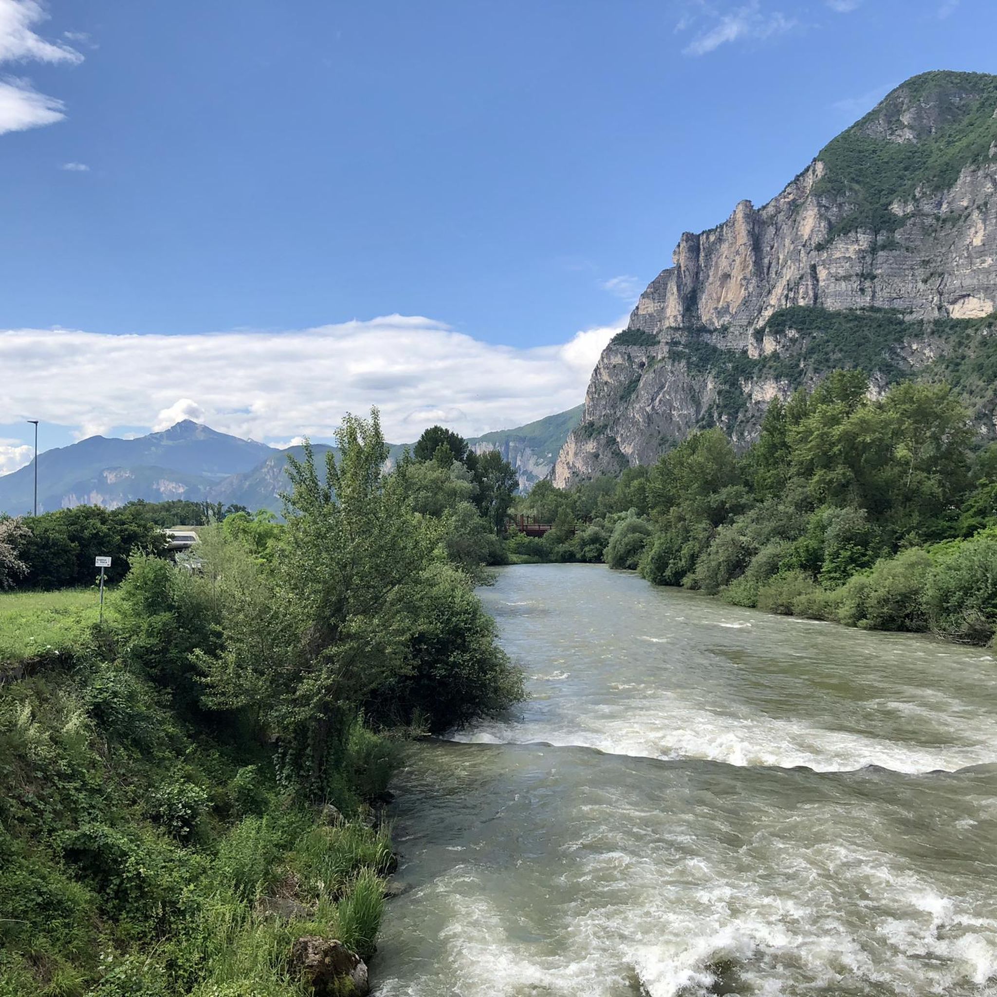
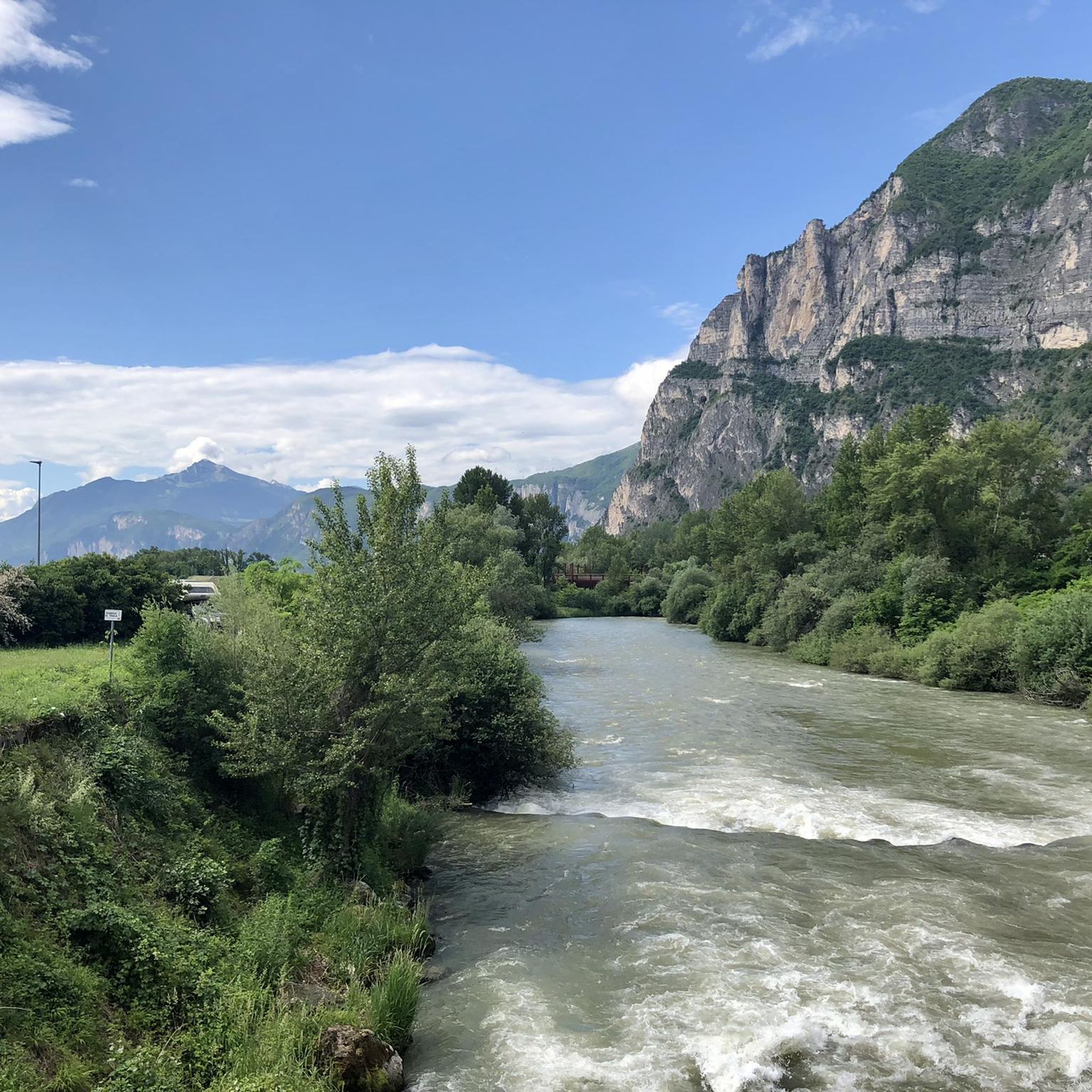
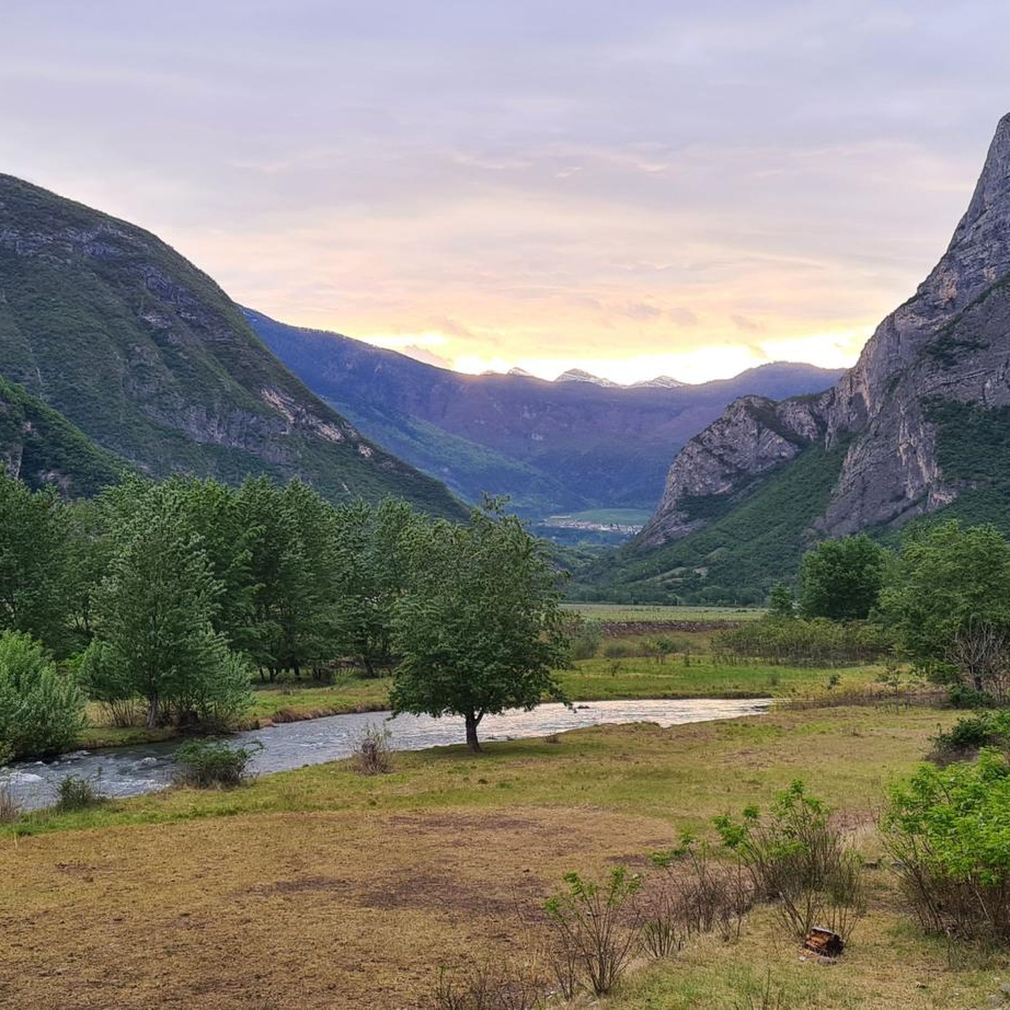

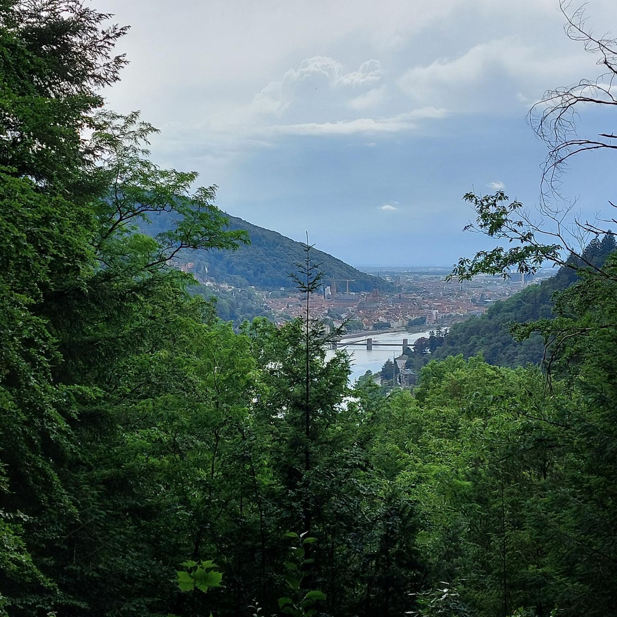
Other adventures around Mezzolombardo

Tips from the Community

Beautiful location with a panoramic view of the Adige Valley, Montevaccino, and the Piné plateau.
0
0

Dos Le Grave (or Doss de le Grave) is one of the most interesting natural areas in the Argentario Ecomuseum, in the Monte Calisio area. It features an important biotope that displays two extremely different environmental typologies: a wetland and an arid zone, located respectively at the foot and on the western flank of Dos. A characteristic of this small, semi-desert-like elevation is the striking presence of bonsai-like Scots pines growing on waste material from silver mining (an activity that affected the entire plateau from the 11th to the 15th century). The arid portion is in immediate contact with the wetland below. This peat bog was formed by the filling of a small lake basin. Small bodies of open water still remain from this basin.
1
0
Mount Calisio (also known as Argentario) is a 1,096-meter peak located between the municipalities of Trento and Civezzano. It is part of the Monte Croce-Sette Selle mountain chain. The area below (the Argentario Plateau) was once home to important silver mines, which declined in importance in the 15th century. The area, semi-abandoned for centuries, was rediscovered in the 20th century with the ever-increasing growth of residential areas. Mount Calisio features an underground fortification built by the Austrians starting in August 1915. It was one of the largest and most modern structures in the Trento fortress, with a classic "H" shape consisting of two galleries, 250 and 160 meters long, and a connecting tunnel. Later, 10-12 meter vertical concrete shafts were dug to install two howitzers in armored cupolas. The bases of the M16 aircraft can still be seen on the summit. Today, Mount Calisio is crisscrossed by numerous hiking trails maintained by the SAT (a subsection of the Italian Alpine Club) in collaboration with the Argentario Ecomuseum. The summit offers a fabulous view of the Adige Valley and part of the Valsugana.
1
0

It has many trails to explore and you can do many kilometers and altitude without ever passing on the same track
0
0
Monte e Cima Calisio You can get there from a really beautiful forest road also suitable for Gravel Bike
0
0

Remarkable panorama over the Adige valley and towards Pinè and the Fersina valley. Beautiful mountain setting
0
0


From the Roda refuge you have an excellent view
1
0
Frequently Asked Questions
What are some of the most popular mountain peaks to visit near Mezzolombardo?
Among the most popular peaks are Cima Paganella, known for year-round activities like skiing and mountain biking, and Monte Calisio Summit Cross, which offers extensive panoramic views. Monte Fausior, located at the foot of Mezzolombardo, is also a significant local peak.
What kind of panoramic views can I expect from the mountain peaks around Mezzolombardo?
You can expect spectacular 360-degree vistas. From Cima Paganella, particularly from Rifugio La Roda, you can see the majestic Brenta Dolomites and Lake Garda. Monte Calisio Summit Cross provides views of Trento, the Adige Valley, Lago di Caldonazzo, and distant mountain ranges like Monti di Cembra, Corno Nero, and Corno Bianco.
Are there family-friendly mountain walks or activities near Mezzolombardo?
Yes, the region offers options suitable for families. Rifugio La Roda on Cima Paganella is considered family-friendly, offering a place to relax with local dishes. Additionally, Malga Kraun is a family-friendly hut where you can enjoy typical Trentino cuisine after a hike.
What historical sites or features can be found on the mountain peaks?
Monte Calisio, also known as Argentario, has a rich history as a former silver mining area. You can find legacies from the Austrian army during World War I, including an underground fortification and remnants of howitzer bases. Doss Castel is an archaeological site with traces of settlements dating back to the Bronze Age and Iron Age, offering a glimpse into the region's ancient past.
What outdoor activities can I do near these mountain peaks?
The area around Mezzolombardo offers diverse activities. Mountain hiking is popular, with trails like the Val del Rì via ferrata on Monte Fausior for a challenging climb. Cycling and running trails are also available, with options ranging from easy to difficult. In winter, Cima Paganella transforms into a skiing paradise.
Are there challenging hiking routes or via ferratas available?
Yes, for those seeking a challenge, the Val del Rì via ferrata on Monte Fausior offers an accessible but demanding climbing experience. You can find difficult mountain hikes, including the Giovanelli Gorge Via Ferrata, which can be accessed from Mezzolombardo.
What is the best time of year to visit the mountain peaks around Mezzolombardo?
The best time depends on your preferred activities. Summer is ideal for hiking, mountain biking, and enjoying the panoramic views from peaks like Cima Paganella and Monte Calisio Summit Cross. Winter transforms Cima Paganella into a popular skiing destination.
Are there places to eat or stay near the mountain trails?
Yes, several huts and refreshment points are available. Rifugio La Roda on Cima Paganella offers local dishes and regional wine. Malga Kraun also provides excellent food and a welcoming atmosphere, serving typical Trentino cuisine.
Can I reach the hiking trails using public transport?
While specific public transport details to every trailhead are not provided, the region is generally accessible. For instance, Cima Paganella has a cable car station, making it easier to access the higher elevations and trails. It's advisable to check local transport schedules for specific routes to trailheads.
What do visitors enjoy most about the mountain peaks near Mezzolombardo?
Visitors frequently highlight the spectacular panoramic views, especially from Rifugio La Roda and Monte Calisio Summit Cross, which offer vistas of the Brenta Dolomites, Lake Garda, and the Adige Valley. The diverse range of activities, from skiing to mountain biking and challenging hikes, also contributes to a highly appreciated experience.
Are there easy mountain hikes suitable for beginners near Mezzolombardo?
While many trails offer intermediate to difficult challenges, the area provides options for varying skill levels. For easier walks, you can explore the lower slopes of Monte Fausior or look for less strenuous sections of the numerous mountain hiking trails maintained by local alpine clubs, often with clear signage.
Where can I find circular hiking trails around Mezzolombardo?
A notable circular route is "The Fausior and Croce di Mezzolombardo Circuit" on Monte Fausior, offering a scenic trekking option. Many other mountain hiking guides in the area often include circular options, allowing you to start and end in the same location.
Most popular routes around Mezzolombardo
Most popular attractions around Mezzolombardo

Get inspired with the komoot mobile app


Explore more
See even more amazing summits around Mezzolombardo with these guides:
