The best mountain hikes around Sporminore
4.9
(141)
965
hikers
42
hikes
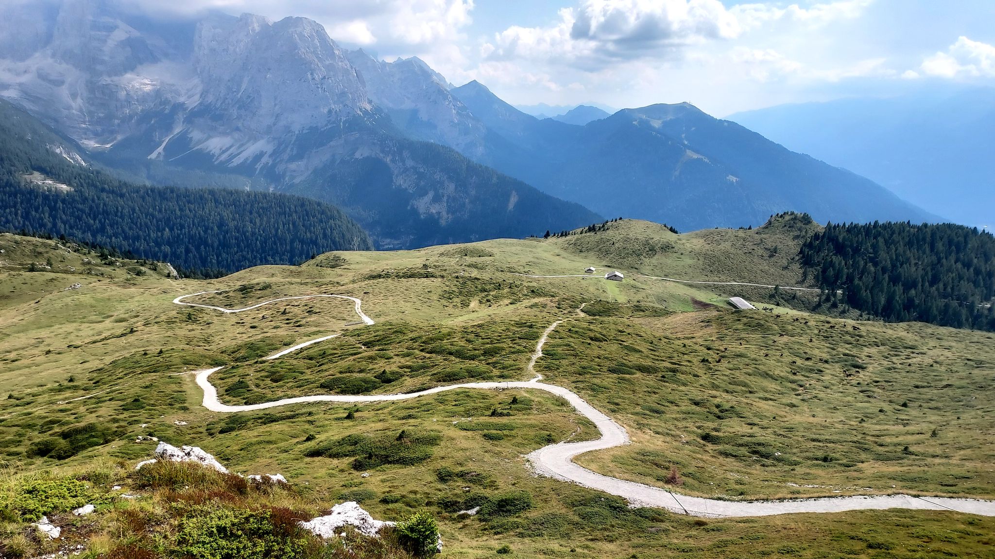
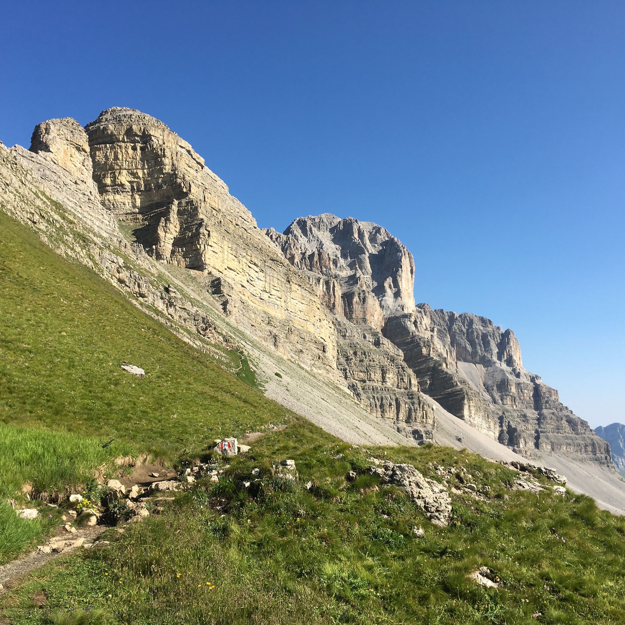
Mountaineering routes around Sporminore are set within the diverse landscapes of the Val di Non, at the foot of the Brenta Dolomites. The region is characterized by high-alpine terrain, dramatic limestone cliffs, and extensive forests, all part of the Adamello Brenta Nature Reserve. This area provides a varied environment for mountaineering, ranging from challenging via ferratas to demanding summit ascents.
Best mountaineering routes around Sporminore
- The most popular mountaineering route is Giovanelli Gorge Via Ferrata – Tret Waterfall loop from…
Last updated: July 6, 2026
4.9
(15)
86
hikers
5.98km
03:25
620m
620m
Hard mountaineering route. Good fitness required. Sure-footedness, sturdy shoes and alpine experience required.
5.0
(2)
33
hikers
Hard mountaineering route. Good fitness required. Sure-footedness, sturdy shoes and alpine experience required.

Sign up for free
5.0
(3)
19
hikers
14.0km
06:36
1,180m
1,180m
Hard mountaineering route. Very good fitness required. Sure-footedness, sturdy shoes and alpine experience required.
5.0
(7)
15
hikers
2.69km
02:10
330m
330m
Hard mountaineering route. Good fitness required. Sure-footedness, sturdy shoes and alpine experience required.
5.0
(1)
5
hikers
Moderate mountaineering route. Good fitness required. Mostly accessible paths. Sure-footedness required.
Get access to more routes and recommendations from other explorers.
Sign up for free
Already have an account?
Our route recommendations are based on thousands of hikes, rides, and runs completed by other people on komoot.
Start today with a free account
Your next adventure awaits.
Login or Signup

Other adventures around Sporminore

Tips from the Community

A waterfall in the middle of the via ferrata is something special.
7
0
Rather easy via ferrata through an impressive karst gorge with many altitude meters.
7
0


I was able to seek shelter here during a thunderstorm even though the refuge was still closed. The staff was very friendly, and the view is also very beautiful.
0
0

Great view of the Brenta, Ortler and Ötztal Alps
1
0

Recent via ferrata, with long vertical sections, very rich in support brackets. You also pass short overhanging sections that tend to tire the arms. You pass 3 Tibetan bridges with 3 ropes. Duration about 2 hours. On the final section there is an escape route. Water fountain at the arrival.
1
0
Very long Tibetan bridge, very solid and stable. It crosses the Rì valley.
0
0
Frequently Asked Questions
What types of mountaineering routes can I expect around Sporminore?
The Sporminore area, nestled at the foot of the Brenta Dolomites and within the Adamello Brenta Nature Reserve, offers a diverse range of mountaineering experiences. You'll find everything from challenging via ferratas to demanding summit ascents through high-alpine terrain and extensive forests. The region is particularly known for its dramatic limestone cliffs.
Are there any beginner-friendly mountaineering routes in the Sporminore area?
While many routes in the Brenta Dolomites are challenging, there are 9 moderate mountaineering routes available around Sporminore. These offer a good starting point for those with some experience looking to explore the region's mountain environment without tackling the most demanding via ferratas immediately.
What are some of the more challenging mountaineering routes near Sporminore?
For experienced mountaineers, the region offers 38 difficult routes. A notable option is the Tibetan bridge – Val del Rì via ferrata loop from Mezzolombardo, a challenging 2.7-mile route with significant elevation gain. Another demanding option is the Rifugio Tosa e Pedrotti – Rifugio Croz dell'Altissimo loop from Rifugio Croz dell'Altissimo, which covers 7.8 miles and involves over 1,000 meters of ascent.
What is the best time of year for mountaineering in Sporminore?
The best time for mountaineering in Sporminore generally aligns with late spring, summer, and early autumn. During these months, the weather is more stable, and trails are typically free of snow, making high-alpine routes and via ferratas more accessible. Winter mountaineering is possible but requires specialized equipment and expertise due to snow, ice, and avalanche risks.
Are there any circular mountaineering routes available?
Yes, several routes in the area are designed as loops. For example, the challenging Tibetan bridge – Val del Rì via ferrata loop from Mezzolombardo offers a circular experience. Another option is the Rifugio Tosa e Pedrotti – Rifugio Croz dell'Altissimo loop from Rifugio Croz dell'Altissimo, providing a full circuit through stunning mountain scenery.
What natural features or landmarks can I expect to see along the mountaineering routes?
Mountaineering routes around Sporminore offer breathtaking views of the Brenta Dolomites and the diverse landscapes of the Val di Non. You might encounter dramatic limestone cliffs, extensive forests, and pristine natural environments within the Adamello Brenta Nature Reserve. The wider region also features beautiful lakes like Santa Giustina and Tovel, and the impressive Rio Sass Canyon with its waterfalls.
Are there any viewpoints or summits accessible via mountaineering routes?
Absolutely. The Brenta Dolomites provide numerous opportunities for stunning viewpoints and summit ascents. While specific routes vary, many mountaineering tours lead to panoramic vistas of the surrounding valleys and peaks. Cima Paganella, for instance, is a prominent peak in the area known for its views and is accessible via various routes.
What do other mountaineers say about the routes around Sporminore?
The mountaineering routes around Sporminore are highly regarded by the komoot community, with an average rating of 4.8 stars from over 150 reviews. Users frequently praise the dramatic scenery of the Brenta Dolomites, the challenging yet rewarding nature of the via ferratas, and the well-maintained trails within the Adamello Brenta Nature Reserve.
Are there any nearby attractions or points of interest to explore after a mountaineering trip?
Yes, the region offers several attractions. You can explore historical sites like Castel Belfort or Castel Valer. For wildlife enthusiasts, the Wildlife Park Spormaggiore offers trails through a 'bear kingdom'. The Val di Non is also known for its picturesque fruit orchards and charming villages.
Is public transport available to reach the starting points of mountaineering routes?
While Sporminore is a gateway to many routes, public transport options to specific high-alpine trailheads can be limited. It's advisable to check local bus schedules for connections to larger towns or key access points. For many remote mountaineering starting points, a car is often the most convenient option.
Are there any specific permits required for mountaineering in the Adamello Brenta Nature Reserve?
Generally, permits are not required for hiking or mountaineering on marked trails within the Adamello Brenta Nature Reserve. However, for specific activities like climbing or accessing certain protected areas, it's always best to check with the park authority or local tourist information centers for any specific regulations or restrictions that might apply.
Most popular attractions around Sporminore

Get inspired with the komoot mobile app


Explore more
Browse the best Mountain Hikes & Routes in other regions.
