The best mountain hikes around Ville D'Anaunia
4.7
(129)
924
hikers
49
hikes
Mountaineering routes Ville D'Anaunia traverse the rugged alpine terrain of the Brenta Dolomites, characterized by dramatic limestone peaks, deep valleys, and high-altitude refuges. The region offers a challenging environment for mountaineers, with many routes featuring significant elevation gains and technical sections. This area is known for its diverse rock formations and panoramic views across the Trentino landscape.
Best mountaineering routes around Ville D'Anaunia
- The most popular mountaineering route is Alimonta Hut – Bocca di Brenta loop from Cima Brenta,…
Last updated: October 9, 2026
4.9
(14)
116
hikers
9.23km
07:17
860m
860m
Hard mountaineering route. Very good fitness required. Sure-footedness, sturdy shoes and alpine experience required.
4.9
(11)
51
hikers
8.16km
05:20
680m
680m
Hard mountaineering route. Very good fitness required. Sure-footedness, sturdy shoes and alpine experience required.

5.0
(2)
37
hikers
Hard mountaineering route. Good fitness required. Sure-footedness, sturdy shoes and alpine experience required.
5.0
(2)
9
hikers
Hard mountaineering route. Very good fitness required. Sure-footedness, sturdy shoes and alpine experience required.
4.5
(2)
14
hikers
11.0km
05:19
690m
690m
Hard mountaineering route. Very good fitness required. Sure-footedness, sturdy shoes and alpine experience required.
Get access to more routes and recommendations from other explorers.
Already have an account?
Our route recommendations are based on thousands of hikes, rides, and runs completed by other people on komoot.
Start today with a free account
Your next adventure awaits.
Popular around Ville D'Anaunia
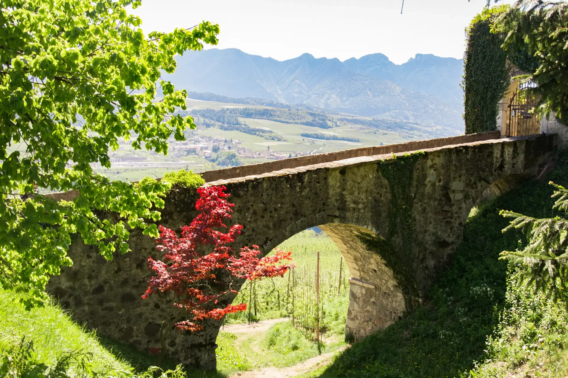
Eight walks through Italy’s Val di Non – Percorsi d’Anaunia
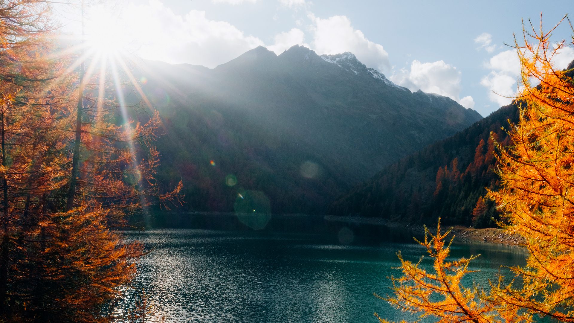
Prolonging the summer – colourful hikes through Trentino in Italy
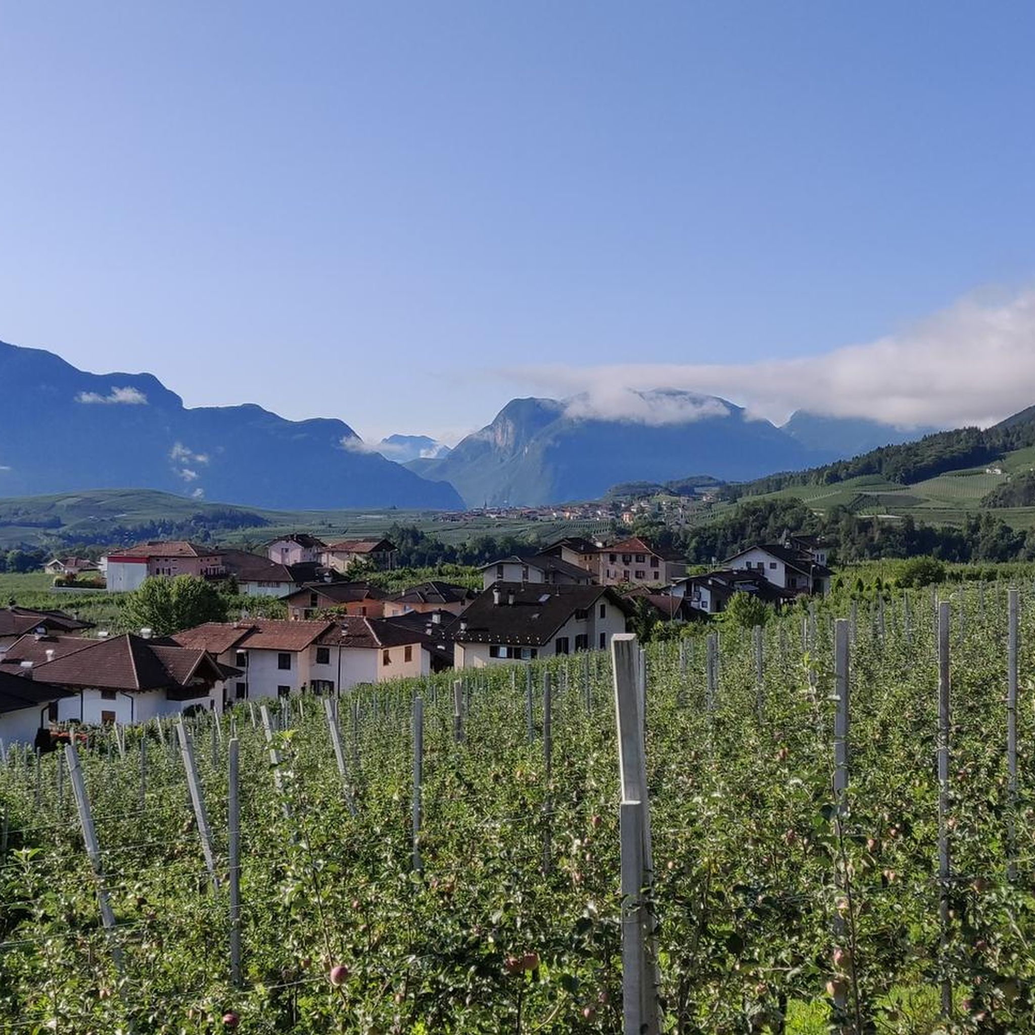
Hiking around Ville D'Anaunia
Road Cycling Routes around Ville D'Anaunia
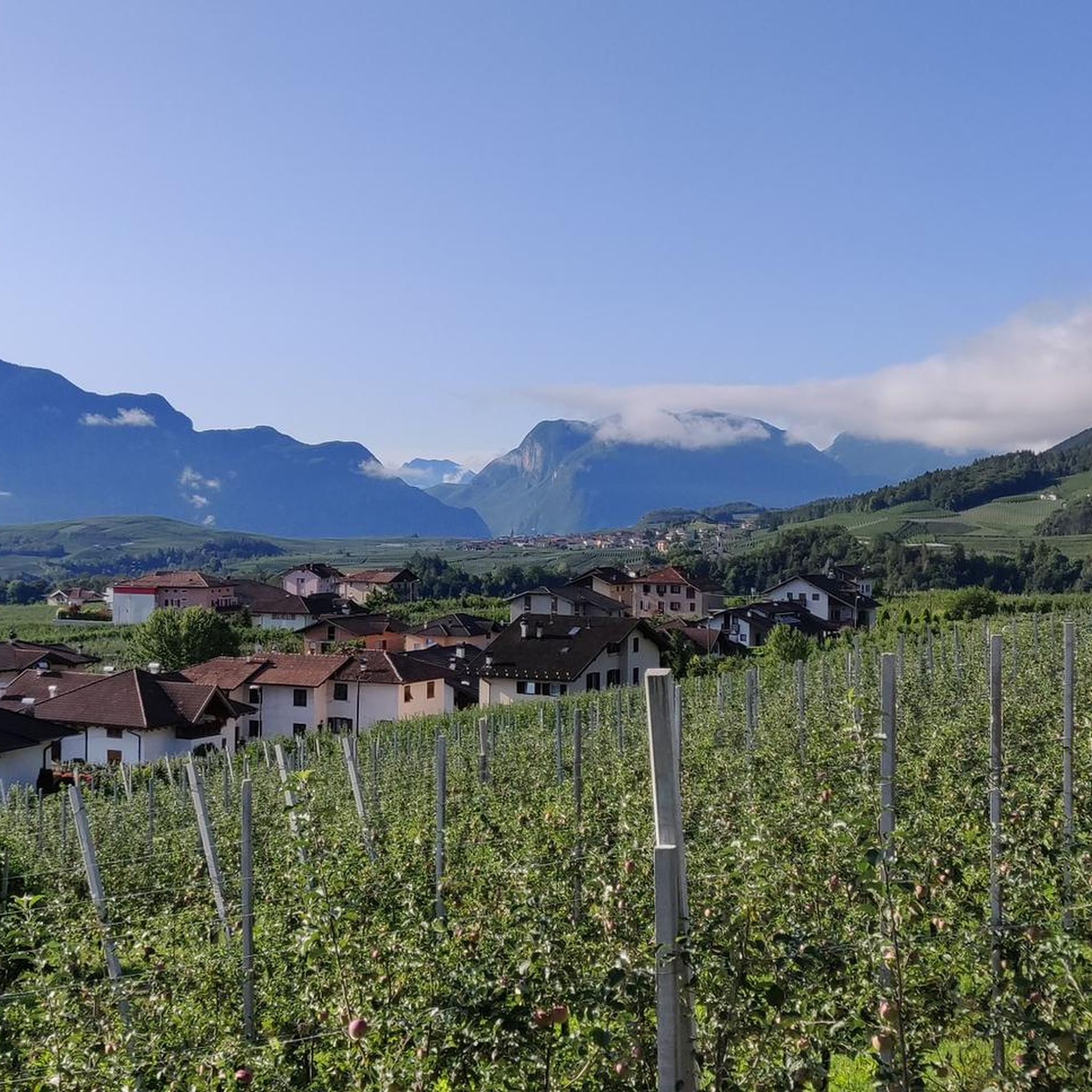
MTB Trails around Ville D'Anaunia
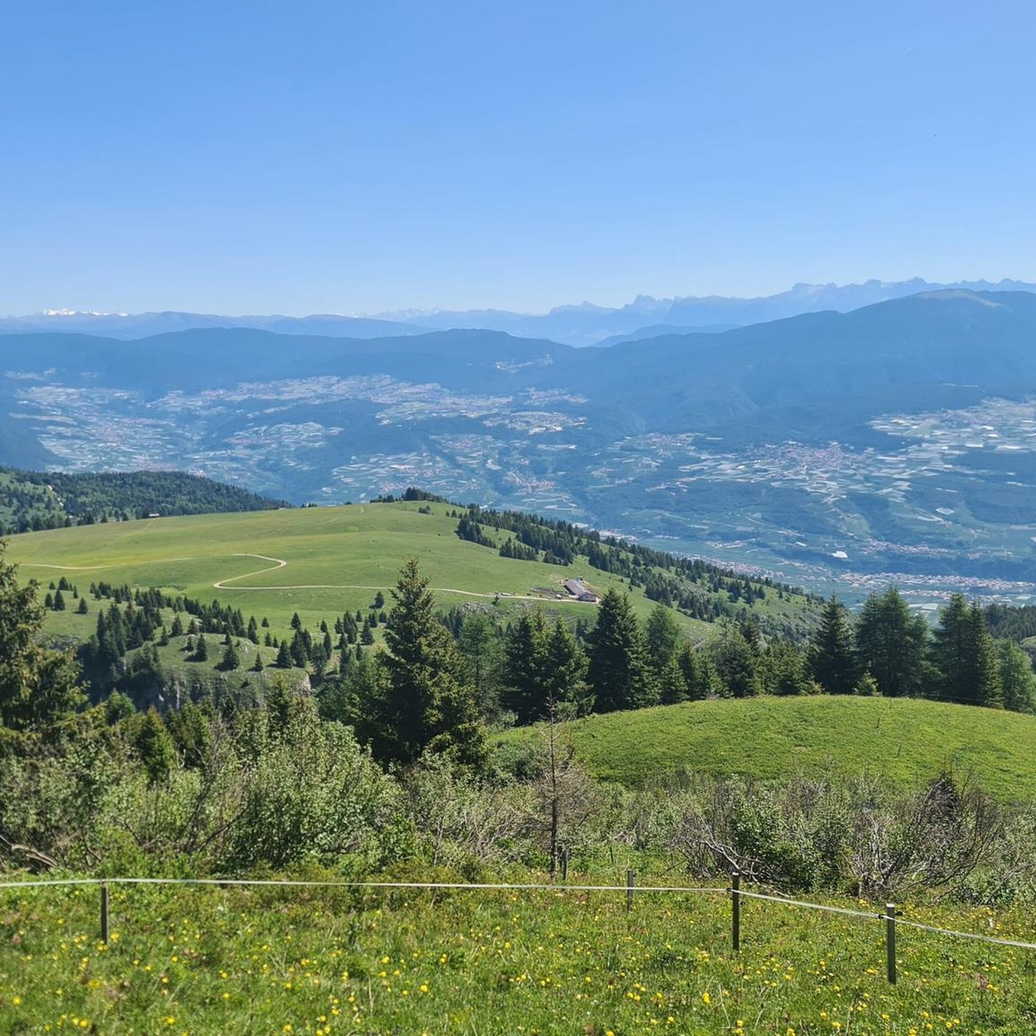
Cycling around Ville D'Anaunia
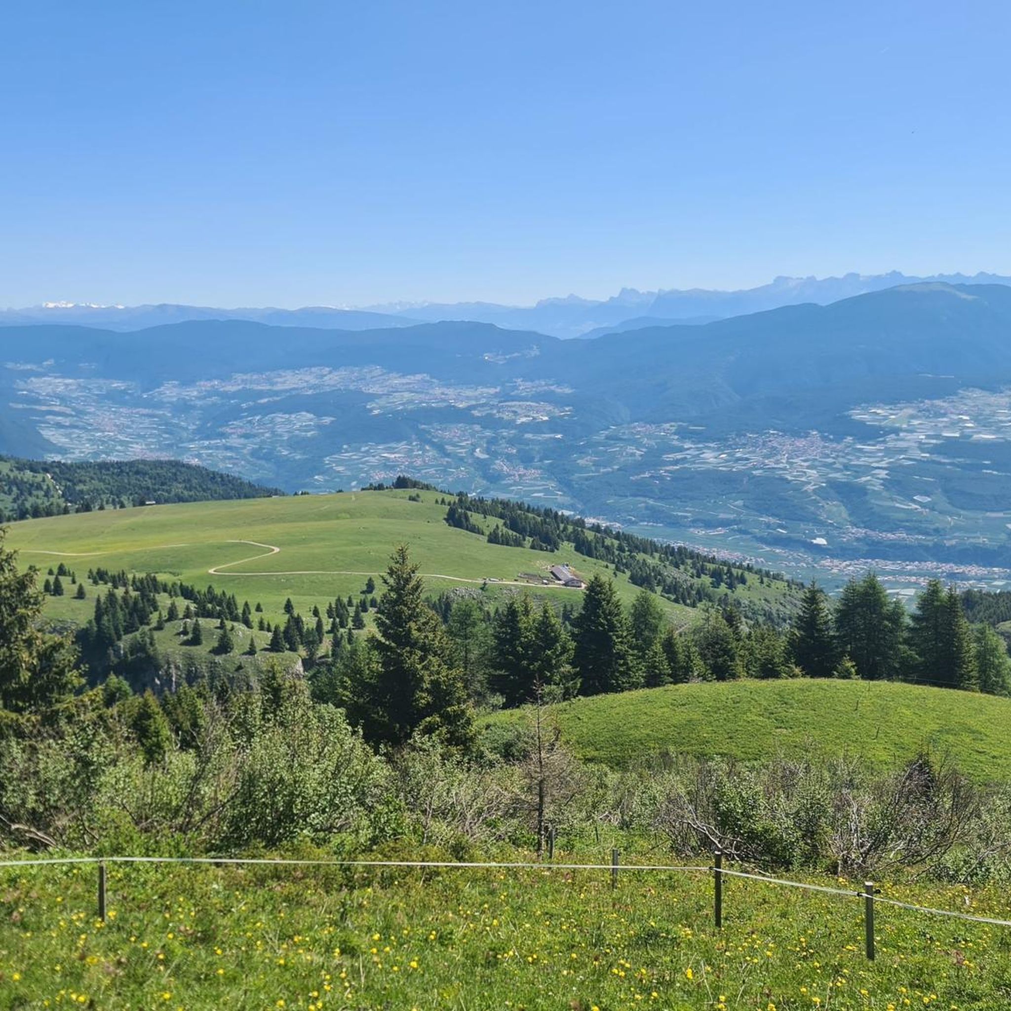
Running Trails around Ville D'Anaunia

Gravel biking around Ville D'Anaunia


Tips from the Community

View of the Pedrotti hut from the Bocca del Brenta
0
0


Wonderful little church with a view of Bocca di Brenta
0
0


I was able to seek shelter here during a thunderstorm even though the refuge was still closed. The staff was very friendly, and the view is also very beautiful.
0
0
Partly secured with ropes and footholds. A steep ascent to the pass, still covered in a vast snowfield in June 2025.
0
0

The Rifugio Maria e Alberto al Brentei, in the heart of the Brenta Dolomites, is a point of reference for mountaineers and hikers. It offers refreshments and overnight accommodation and has been completely renovated in recent years. Its history is linked to legendary mountaineering figures, and the atmosphere is authentic. The view of the Crozzon di Brenta and the Tosa is unparalleled.
1
0

Bocca di Brenta is a saddle located in the heart of the Brenta Dolomites, which connects Val Rendena to Valle di Non. Reachable along the path that starts from Madonna di Campiglio and passes by the Brentei refuge, Bocca di Brenta is about an hour's walk from the refuge itself. This crossing point offers an excellent view of the Brenta massif and is an important stop for hikers heading towards Crozzon di Brenta, one of the most famous peaks in the area.
2
0
Frequently Asked Questions
What is the general difficulty level of mountaineering routes in Ville D'Anaunia?
Mountaineering in Ville D'Anaunia is primarily challenging, with the majority of routes rated as difficult. You'll encounter rugged alpine terrain, significant elevation gains, and technical sections. There are also some moderate options available for those seeking a slightly less strenuous experience.
Are there any mountaineering routes suitable for beginners in Ville D'Anaunia?
While most routes are challenging, there are a few moderate options that might be suitable for mountaineers with some prior experience and good physical condition. For example, the Rifugio Stoppani – Graffer Hut at Grostè loop from Rifugio Giorgio Graffer al Grostè is rated as moderate and offers a good introduction to the area's alpine environment.
What kind of terrain can I expect on mountaineering routes in the Brenta Dolomites around Ville D'Anaunia?
You can expect dramatic limestone peaks, deep valleys, and diverse rock formations. Many routes feature exposed alpine terrain, high mountain passes, and often lead past high-altitude refuges. The challenging environment requires sure-footedness and a head for heights.
Are there any circular mountaineering routes in Ville D'Anaunia?
Yes, several excellent circular routes allow you to experience the stunning landscapes. A popular option is the difficult Alimonta Hut – Bocca di Brenta loop from Cima Brenta, which offers extensive views. Another challenging loop is the Alimonta Hut – Via Ferrata Bocchette Centrali loop from Rifugio Alimonta.
What are some notable landmarks or attractions I can see near the mountaineering routes?
Beyond the breathtaking mountain scenery, the region is rich in history and natural beauty. You can explore historical sites like Castel Belfort or Castel Valer. For natural wonders, consider visiting the Novella Gorge – Parco Fluviale Novella or the challenging Burrone Giovanelli Via Ferrata.
How many mountaineering routes are available in Ville D'Anaunia?
There are over 60 mountaineering routes available in Ville D'Anaunia, offering a wide range of options for exploring the Brenta Dolomites. The majority of these are rated as difficult, catering to experienced mountaineers.
What do other mountaineers say about the routes in Ville D'Anaunia?
The mountaineering routes in Ville D'Anaunia are highly regarded by the komoot community, holding an average rating of 4.8 stars from over 140 reviews. Users frequently praise the dramatic scenery, challenging ascents, and the well-maintained paths leading through the high alpine environment.
Are there any long-distance mountaineering routes in the area?
Yes, for those looking for longer excursions, routes like the difficult Rifugio Sella Bell – Rifugio Tuckett loop from Rifugio Alimonta cover over 11 kilometers, offering extended time in the alpine landscape and connecting multiple refuges.
What is the best time of year for mountaineering in Ville D'Anaunia?
The prime season for mountaineering in the Brenta Dolomites typically runs from late June to early September, when snow has largely melted from higher elevations and weather conditions are generally more stable. Always check local weather forecasts and trail conditions before heading out.
What kind of gear should I bring for mountaineering in Ville D'Anaunia?
Given the challenging and technical nature of many routes, essential gear includes sturdy mountaineering boots, appropriate layers for varying alpine weather, a helmet, harness, via ferrata set (if tackling specific routes), and sufficient water and food. Always be prepared for rapid weather changes.
Is public transport an option to reach trailheads for mountaineering routes?
Access to some trailheads in the Brenta Dolomites can be achieved via local bus services, particularly to popular starting points like Madonna di Campiglio or Pinzolo, which then connect to various refuges or cable car stations. However, for more remote trailheads, a car is often more convenient. It's advisable to check local bus schedules in advance, especially during peak season.
Where can I find parking near the mountaineering trailheads?
Parking is typically available at major access points and near popular refuges or cable car stations that serve as starting points for mountaineering routes. These often include areas around Passo Grostè or near the valley towns. During peak season, parking lots can fill up quickly, so arriving early is recommended.
Most popular routes around Ville D'Anaunia
Most popular attractions around Ville D'Anaunia

Get inspired with the komoot mobile app


Explore more
Browse the best Mountain Hikes & Routes in other regions.
