The best walks and hikes around Sarnonico
4.5
(5458)
25,196
hikers
43
hikes
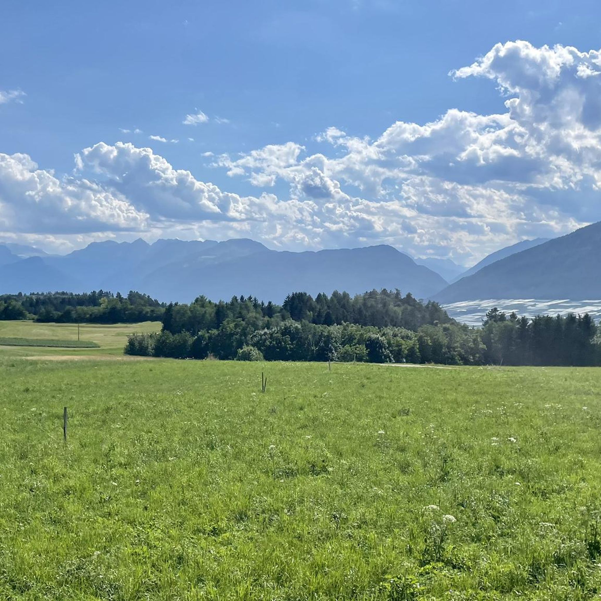
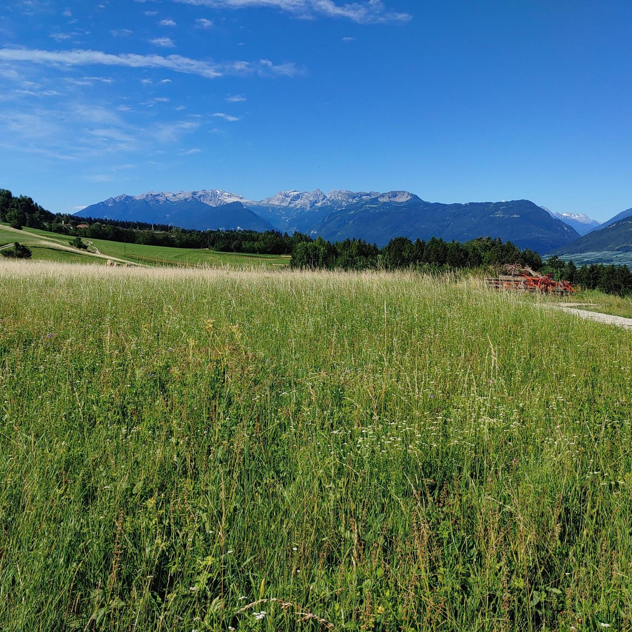
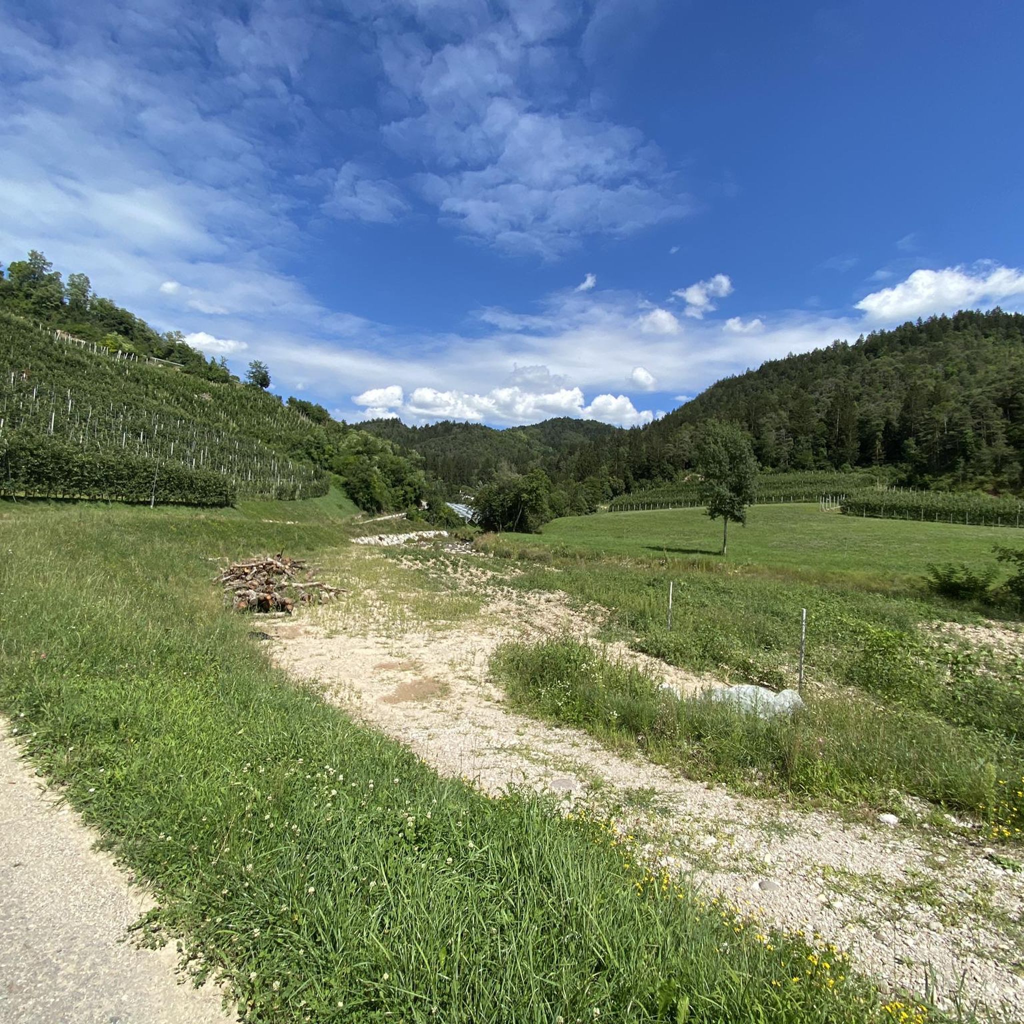
Hiking around Sarnonico, located on the Alta Anaunia plateau in the upper Val di Non valley, offers diverse landscapes for outdoor activities. The region features extensive forests and lush alpine meadows, providing varied terrain for hiking routes. Panoramic views of the Brenta Dolomites and the Maddalene chain are accessible from various trails and viewpoints, such as Monte Penegal. Small ponds also contribute to the natural charm of the area.
Best hiking trails around Sarnonico
- The most popular hiking route is View of Lake Caldaro – Larch Meadows loop from Penegal, a 5.8 miles (9.4 km) trail that takes 3 hours 7 minutes to complete. This moderate route offers views of Lake Caldaro and passes through larch meadows.
- Another top favourite among local hikers is Monte Penegal and Malga di Malosco Loop, a difficult 6.7 miles (10.8 km) path. This trail ascends Monte Penegal, providing panoramic vistas, and continues through the alpine meadows of Malga di Malosco.
- Local hikers also love the Forest trail to Bait del Prinz ruins (via Trail 514), a 9.1 miles (14.7 km) trail leading through mixed coniferous forests, often completed in about 4 hours 15 minutes.
- Hiking around Sarnonico is defined by extensive forests, alpine meadows, and panoramic views of the Brenta Dolomites. The network of trails offers options for various ability levels, from easy walks to more demanding routes.
- The routes in Sarnonico are highly rated by the komoot community with an average score of 4.4 stars from over 4800 reviews. More than 23000 hikers have used komoot to explore Sarnonico's varied terrain.
Last updated: October 10, 2026
4.8
(633)
1,977
hikers
9.26km
03:04
360m
360m
Moderate hike. Good fitness required. Mostly accessible paths. Sure-footedness required.
3.9
(14)
52
hikers
10.8km
03:33
440m
450m
Hard hike. Good fitness required. Sure-footedness, sturdy shoes and alpine experience required.

4.0
(2)
7
hikers
14.7km
04:15
380m
380m
Moderate hike. Good fitness required. Easily-accessible paths. Suitable for all skill levels.
4.1
(75)
282
hikers
13.4km
04:16
560m
560m
Moderate hike. Good fitness required. Mostly accessible paths. Sure-footedness required.
4.4
(14)
74
hikers
10.9km
03:33
420m
420m
Moderate hike. Good fitness required. Mostly accessible paths. Sure-footedness required.
Get access to more routes and recommendations from other explorers.
Already have an account?
Our route recommendations are based on thousands of hikes, rides, and runs completed by other people on komoot.
Start today with a free account
Your next adventure awaits.

Tips from the Community

Ice cream with warm berries on top... one of the best I've ever eaten!!
0
0

Numerous huts are found along the path
0
0
Views, views, views, views
0
0

Holiday in Tramin. Today by car up the Mendel Pass to Mendel. What a drive. From there on foot to Penegal. Great route, mega view, nice hiking buddies, many photos, a short stop for refreshments and then it was already time to head back.
0
0

Here you'll find the best Marillenknödel (apricot dumplings) far and wide, and it's not just the locals who say so. Highly recommended!
0
0

Te Guy u y tv uur y u ug uur
0
0
A really easy trail, at a high altitude with some scenic stretches and benches to rest on. It's a great after-lunch outing or a great way to refuel your legs.
0
0
Hiking boots, water, a towel. Maybe a spare T-shirt for the inn. We just hiked up the mountain!
0
0
Frequently Asked Questions
How many hiking trails are available around Sarnonico?
There are over 40 diverse hiking trails around Sarnonico, ranging from easy walks to more challenging routes. This extensive network allows you to explore the varied landscapes of the Alta Anaunia plateau, including lush forests, alpine meadows, and panoramic viewpoints.
Are there easy hiking trails suitable for beginners or families in Sarnonico?
Yes, Sarnonico offers several easy hiking options perfect for beginners or families. About 10 of the trails are rated as easy, and the Alta Val di Non is known for its wide, gentle terrain. A popular family-friendly hike leads to the viewpoint at Penegal and continues through mixed coniferous forests to the alpine meadows of Regole di Malosco.
What natural features or landmarks can I expect to see on hikes near Sarnonico?
Hiking around Sarnonico offers breathtaking natural beauty. You can expect to see extensive forests and lush alpine meadows, with panoramic views of the majestic Brenta Dolomites and the Maddalene chain. Notable viewpoints include Monte Penegal. You might also encounter small ponds and even waterfalls like the Rastenbach Gorge Waterfall or the Rastenbachklamm Waterfall, and enjoy views of Lake Kaltern.
Can I find circular hiking routes in the Sarnonico area?
Yes, many of the hiking routes around Sarnonico are circular, allowing you to start and end at the same point. An example is the Grotta del Colera – Lez Trail loop from Sarnonico, which offers a moderate challenge over approximately 10.9 km.
What is the best time of year for hiking in Sarnonico?
Sarnonico's sunny and dry climate makes it particularly appealing for summer holidays. The warmer months are generally the best time for hiking, allowing you to fully enjoy the lush meadows and clear panoramic views.
Are there any long-distance or pilgrimage routes that pass through Sarnonico?
Yes, Sarnonico is part of significant pilgrimage routes. The Romedius Pilgrimage Route, a cross-border trail spanning 192 km, offers a profound nature experience through beautiful landscapes and alpine pastures, leading to the pilgrimage site of San Romedio. The Jacobean Path of Anaunia also traverses the Non Valley.
What do other hikers enjoy the most about hiking in Sarnonico?
The area is highly rated by the komoot community, with an average score of 4.4 stars from over 4800 reviews. Hikers frequently praise the diverse landscapes, including extensive forests and alpine meadows, as well as the breathtaking panoramic views of the Brenta Dolomites and the Maddalene chain.
Are there any trails that offer views of lakes?
Absolutely. Several trails provide stunning lake views. For instance, the View of Lake Caldaro – Larch Meadows loop from Penegal offers picturesque vistas of Lake Caldaro. You can also find highlights like the Montiggler Lakes (Laghetti di Monticolo) nearby.
Where can I find places to eat or rest along the trails?
The alpine meadows of Regole di Malosco are a cozy spot for hikers, featuring several places to eat and serving as a starting point for hikes to Monte Penegal. Many routes will also pass through or near villages where you can find cafes and restaurants.
Are there any challenging hikes for experienced trekkers?
Yes, Sarnonico caters to all skill levels, including experienced trekkers. For a more demanding route, consider the Monte Penegal and Malga di Malosco Loop, which is rated as difficult and includes an ascent of Monte Penegal for panoramic vistas.
What kind of terrain can I expect on the hiking trails around Sarnonico?
The terrain around Sarnonico is quite varied. You'll encounter paths through lush green meadows, extensive mixed coniferous forests, and ascents to viewpoints offering rocky sections. The Alta Val di Non is characterized by wide, gentle terrain, while areas like Monte Penegal involve more significant elevation changes.
Is public transport available to reach hiking trailheads in Sarnonico?
While specific public transport details for individual trailheads are not provided, Sarnonico is well-connected within the Alta Val di Non. For detailed information on public transport options to Sarnonico and nearby villages, it's advisable to check local transport schedules or visit the official tourism website for the region, such as visittrentino.info.
Most popular routes around Sarnonico
Most popular attractions around Sarnonico

Get inspired with the komoot mobile app


Explore more
Browse the best Hikes in other regions.
