The best walks and hikes around Rotenhain
4.6
(1828)
5,663
hikers
29
hikes
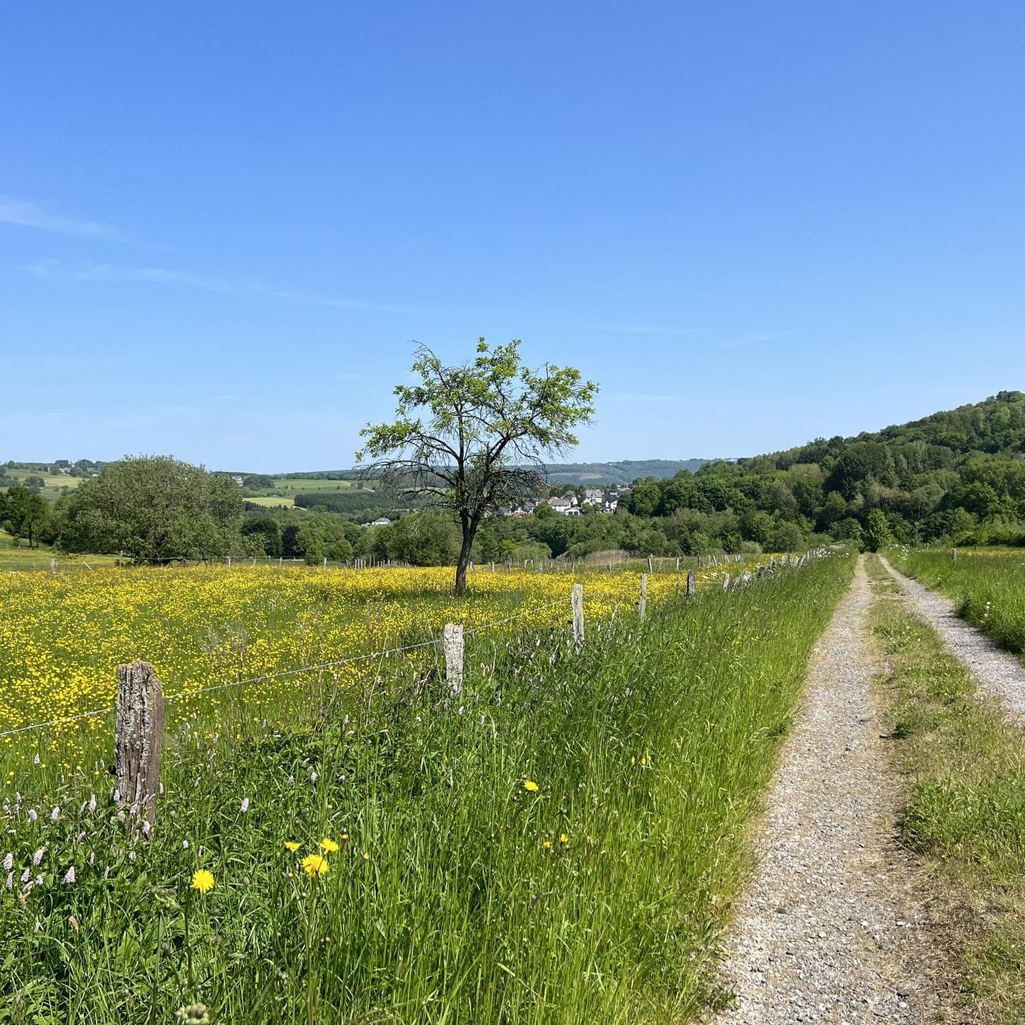
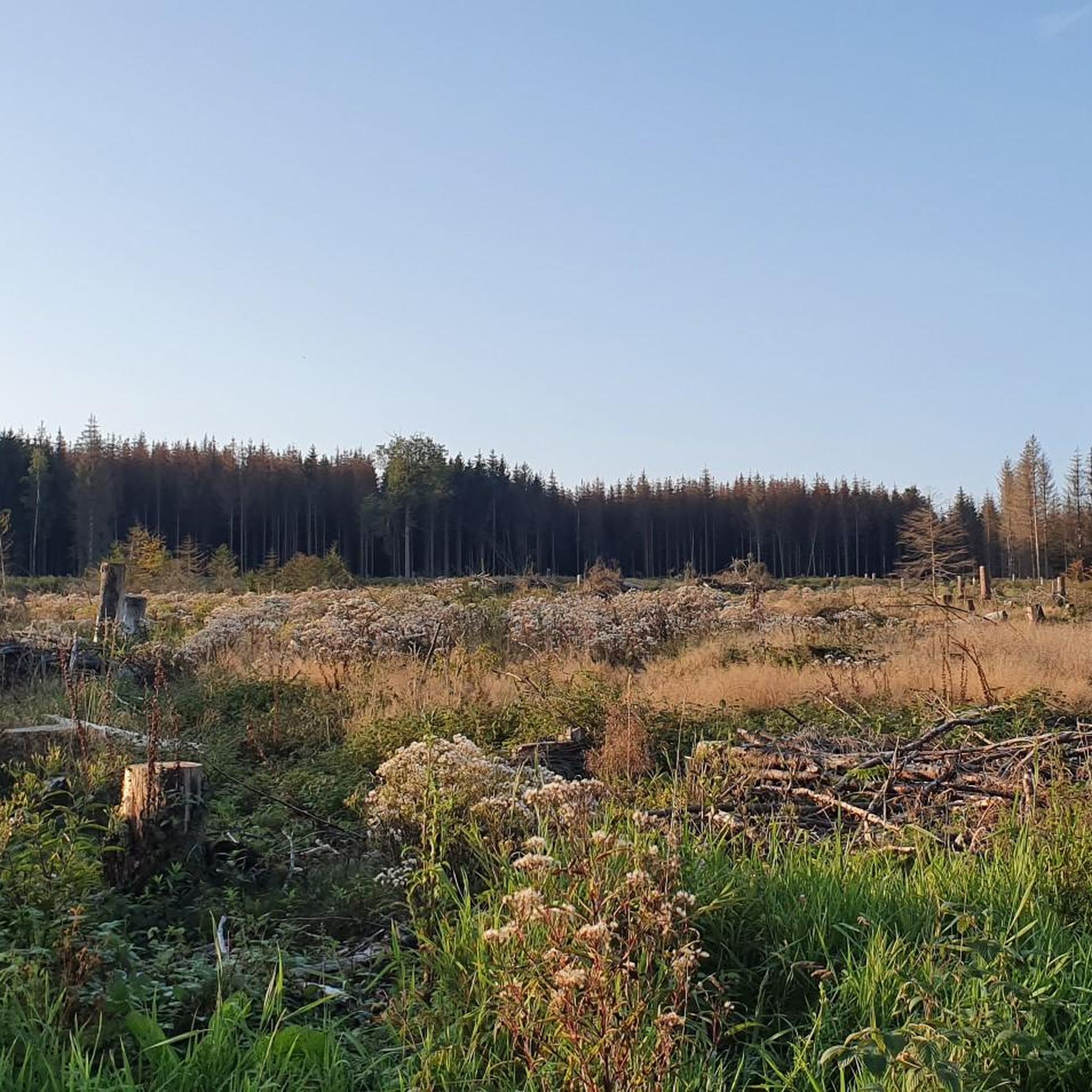
Hiking around Rotenhain offers diverse landscapes within the Westerwald district of Germany. The region features rolling hills, dense forests, and verdant fields, characteristic of the Westerwald low mountain range. Hikers can explore varied terrain, from gentle paths to more challenging routes, often encountering natural features like the Westerwald Lake District and historical sites such as Alte Burg Rotenhain.
Best hiking trails around Rotenhain
- The most popular hiking route is Bildstock Rotenhain – Teaching Beehive Am Stöffel loop from Rotenhain,…
Last updated: October 21, 2026
4.7
(35)
104
hikers
Hard hike. Very good fitness required. Easily walkable paths.
4.6
(37)
113
hikers
9.30km
02:39
220m
220m
Moderate hike. Good fitness required. Easily walkable paths.

4.5
(23)
56
hikers
Moderate hike. Good fitness required. Easily walkable paths.
4.6
(12)
24
hikers
4.71km
01:16
60m
60m
Easy hike. Easily walkable paths.
5.0
(4)
17
hikers
8.24km
02:12
90m
90m
Moderate hike. Good fitness required. Easily walkable paths.
Get access to more routes and recommendations from other explorers.
Already have an account?
Our route recommendations are based on thousands of hikes, rides, and runs completed by other people on komoot.
Start today with a free account
Your next adventure awaits.

Tips from the Community

The area is characterized by the nearby basalt quarries.
0
0

Very nice
0
0

The restaurant looked very well-kept and inviting. Definitely worth a visit.
0
0
During the visit to the small 🛡 medieval market in Rotenhain, my friend and I discovered the hiking information board on the grounds of the large hiking parking lot. Together, we excitedly planned the exploration of the 🍀 Kleeblatt-Tour and completed it with a fight last weekend. There are four trails (blue, red, yellow, and orange). Unfortunately, the paths are hardly maintained, especially the blue trail was an imposition (overgrown to head height), the yellow and orange trails were also not great in terms of walkability..... Only the red trail was easy to hike. Nothing against a bit of undergrowth, but a lot against the jungle conditions of the paths... We will not come back. It's a shame, because the trails would have enormous and entertaining fun potential with proper maintenance. Each trail "usually" has a length of about 3-3.5 kilometers.
0
0

Alina and Alwine are two of the wind turbines up at the Alpenroder Hut. I don't think the others have names, but it's funny.
0
0

Although it's a bit away from the pond, it's quiet here, except on Sundays and public holidays, of course.
3
0
Frequently Asked Questions
What kind of terrain can I expect on hiking trails around Rotenhain?
Hiking around Rotenhain offers a diverse landscape characterized by rolling hills, dense forests, and verdant fields, typical of the Westerwald low mountain range. You'll find a mix of well-maintained paths, forest trails, and some routes with moderate ascents, providing varied experiences from gentle strolls to more challenging walks.
Are there any easy hiking trails suitable for beginners or casual walkers in Rotenhain?
Yes, Rotenhain has plenty of easy trails. For instance, the Bildstock Rotenhain – Teaching Beehive Am Stöffel loop from Rotenhain is an easy 2.7-mile (4.3 km) walk that takes just over an hour, perfect for a relaxed outing. Another easy option is the Burgschänke Batenhain – Vierherrenstein loop from Rotenhain, which covers 3.9 miles (6.3 km) with minimal elevation gain.
What are some notable natural features or landmarks I can see while hiking in Rotenhain?
The region boasts several natural and historical highlights. You can explore the historic Alte Burg Rotenhain, medieval hilltop castle ruins nestled within the woodlands. The Gräbersberg Observation Tower offers excellent panoramic views of the Westerwald landscape. Additionally, the broader Westerwald region features the picturesque Westerwald Lake District and the wild, romantic Holzbachschlucht Gorge.
Are there any circular hiking routes available in Rotenhain?
Yes, many of the popular routes around Rotenhain are circular, offering convenient starting and ending points. Examples include the easy Bildstock Rotenhain – Teaching Beehive Am Stöffel loop, the moderate Gräbersberg Observation Tower – Jöckel's Alpenröder Hut loop, and the Bildstock Rotenhain – Alte Burg Forest Train loop, which takes you past the historic ruins.
What is the best time of year to go hiking in Rotenhain?
Rotenhain offers enjoyable hiking experiences throughout much of the year. Spring and autumn are particularly pleasant, with mild temperatures and beautiful foliage. Summer provides lush green landscapes, while winter can offer serene, snow-covered trails, though some paths might be more challenging. Always check local weather conditions before heading out.
Are there any family-friendly hiking options in Rotenhain?
Absolutely. Many of the easy trails are suitable for families. The Bildstock Rotenhain – Teaching Beehive Am Stöffel loop is a short, easy walk that can be enjoyed by all ages. The varied terrain and natural surroundings make it a great place for children to explore.
What do other hikers say about the trails in Rotenhain?
The hiking routes in Rotenhain are highly regarded by the komoot community, with an average score of 4.6 stars from over 1500 reviews. Hikers often praise the well-marked paths, the peaceful forest environments, and the diverse scenery that includes rolling hills and historical sites like the Alte Burg.
Are there any places to eat or drink near the hiking trails in Rotenhain?
While specific cafes or pubs directly on every trail are not guaranteed, the region around Rotenhain, including nearby villages, offers options for refreshments. The Burgschänke Batenhain – Vierherrenstein loop, for example, starts near Burgschänke Batenhain, suggesting potential dining opportunities.
Is there parking available for hikers in Rotenhain?
Yes, parking is generally available at the starting points of many popular trails and in the village of Rotenhain itself. It's advisable to check specific route descriptions on komoot for details on designated parking areas for each trail.
How many hiking trails are there in Rotenhain?
There are over 20 hiking trails around Rotenhain, offering a wide range of options for different skill levels and preferences. This includes 16 easy routes and 6 moderate routes, ensuring there's something for everyone.
Can I reach the hiking trails in Rotenhain using public transport?
Rotenhain is situated in a rural area, and while public transport options exist, they might be less frequent than in urban centers. It's recommended to check local bus schedules or regional train connections to nearby towns and then plan your journey to Rotenhain accordingly. Some trailheads might require a short walk from the nearest bus stop.
Are there any trails with significant elevation gain for a more challenging hike?
While Rotenhain is known for its rolling hills rather than steep mountains, some trails offer moderate elevation gain. For example, the Bildstock Rotenhain – Alte Burg Forest Train loop involves an ascent of approximately 140 meters, providing a good workout amidst the forest scenery.
Most popular routes around Rotenhain
Most popular attractions around Rotenhain

Get inspired with the komoot mobile app


Explore more
Browse the best Hikes in other regions.
