The best walks and hikes around Rötgesbüttel
4.5
(3142)
14,773
hikers
26
hikes
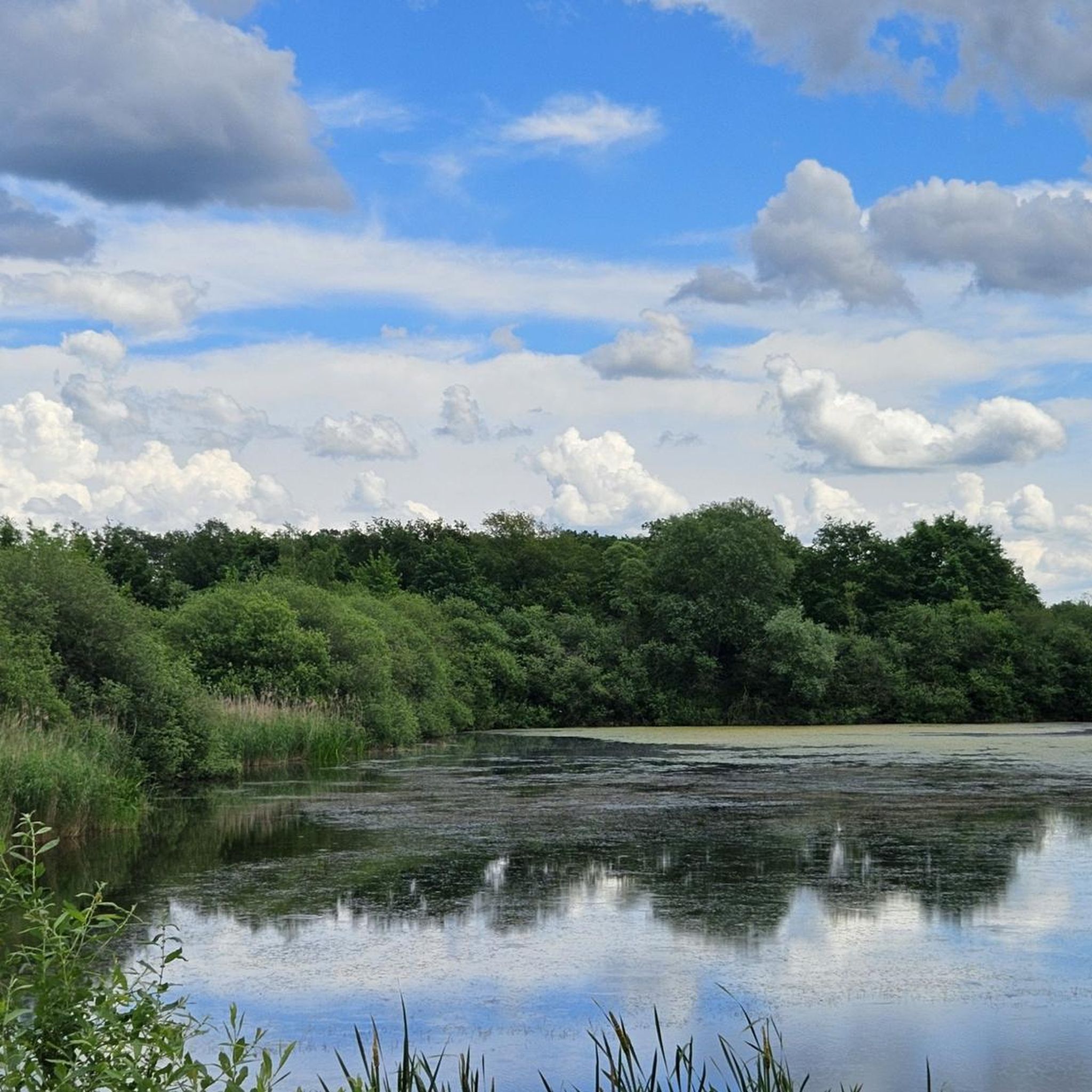
Hiking around Rötgesbüttel offers diverse landscapes, including expansive moors, dense forests, and natural heathland, particularly within or near the Südheide Nature Park. The region is characterized by its unique canal triangle formed by the Elbe Lateral Canal and the Mittelland Canal, alongside natural features like Lake Tankum and the Oker river. These elements provide varied terrain for outdoor activities.
Best hiking trails around Rötgesbüttel
- The most popular hiking route is Flax Bench loop from Rötgesbüttel, a 3.3 miles (5.2…
Last updated: June 26, 2026
4.2
(6)
20
hikers
5.29km
01:20
10m
10m
Easy hike. Great for any fitness level. Easily-accessible paths. Suitable for all skill levels.
4.7
(9)
30
hikers
Easy hike. Great for any fitness level. Easily-accessible paths. Suitable for all skill levels.

Sign up for free
4.2
(6)
8
hikers
10.9km
02:45
30m
30m
Moderate hike. Good fitness required. Easily-accessible paths. Suitable for all skill levels.
4.9
(91)
13
hikers
5.24km
01:20
10m
10m
Easy hike. Great for any fitness level. Easily-accessible paths. Suitable for all skill levels.
4.2
(5)
13
hikers
Easy hike. Great for any fitness level. Easily-accessible paths. Suitable for all skill levels.
Get access to more routes and recommendations from other explorers.
Sign up for free
Already have an account?
Our route recommendations are based on thousands of hikes, rides, and runs completed by other people on komoot.
Start today with a free account
Your next adventure awaits.
Login or Signup
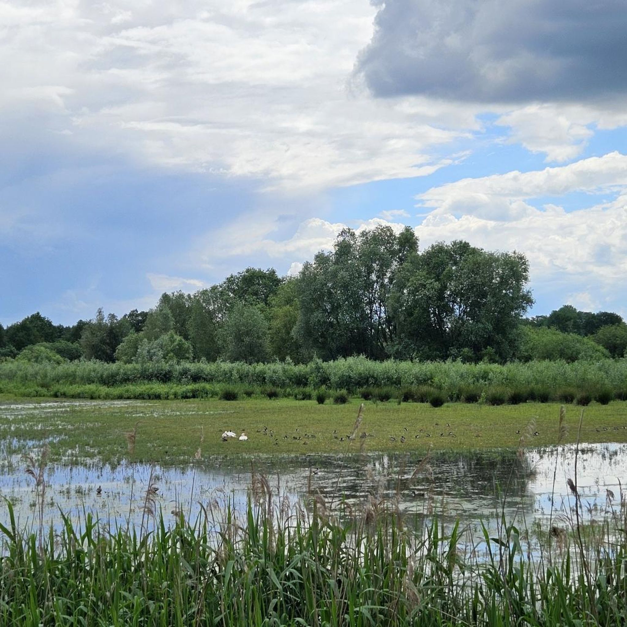
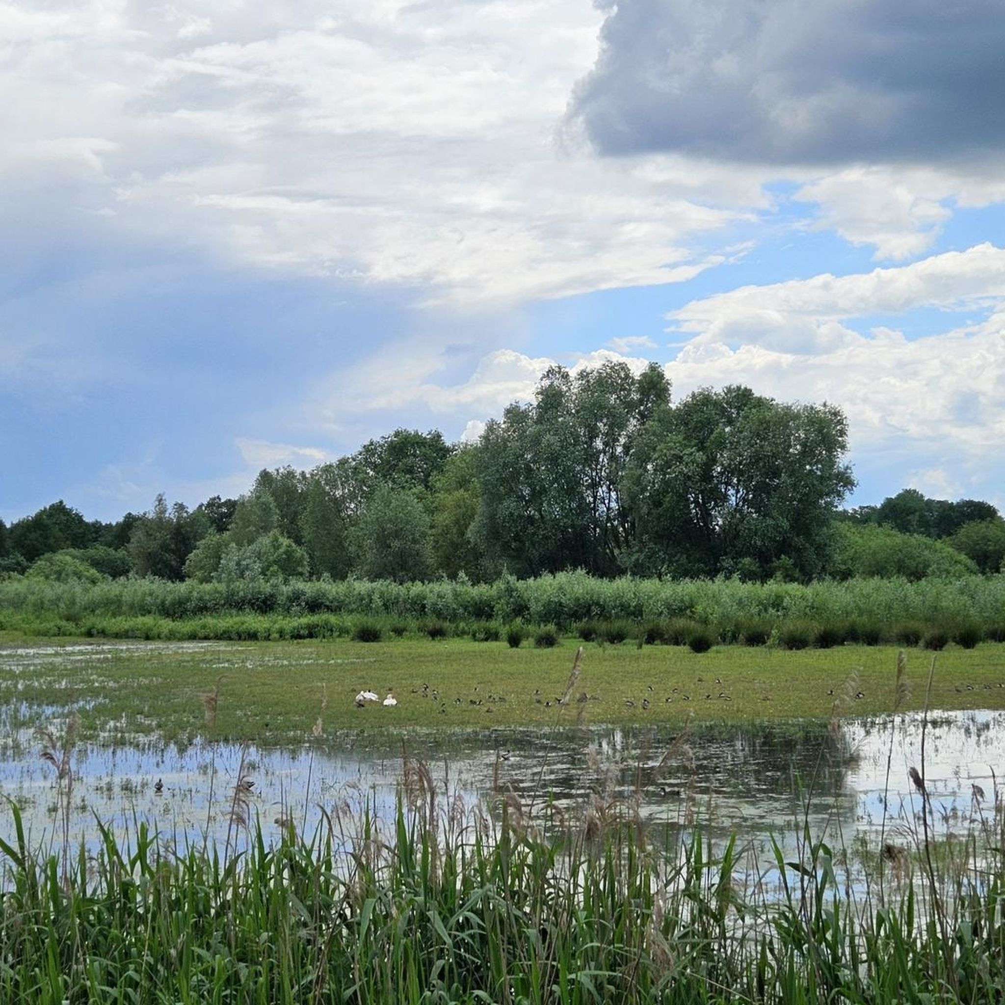
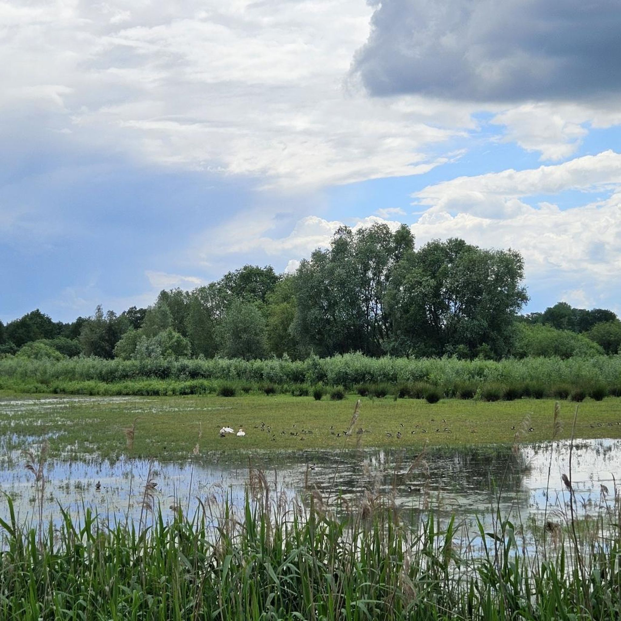
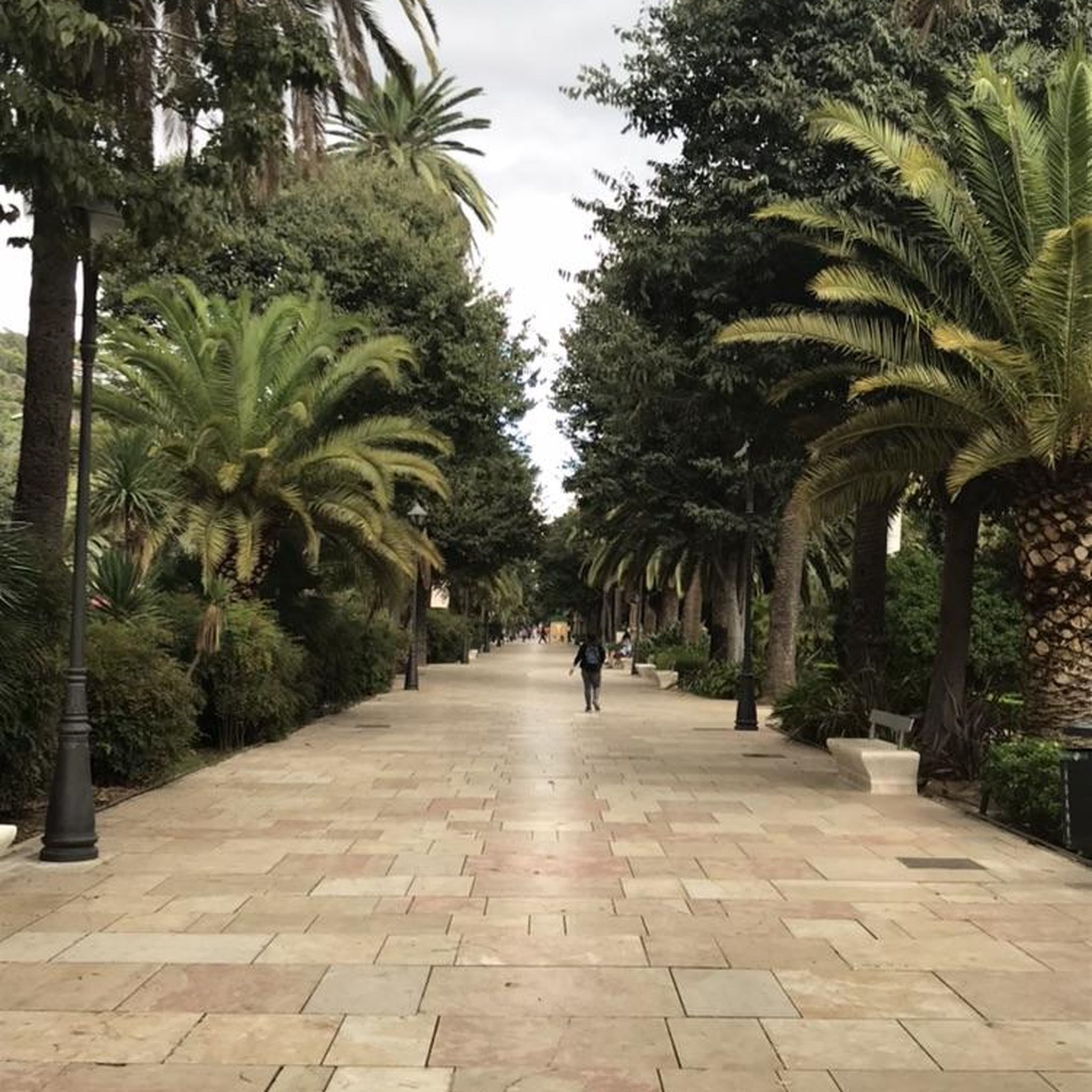
Tips from the Community

well-ridden connection trail into the Maaßel
0
0

The right path around the ponds is very overgrown, next time I would choose the left path.
0
0
the campsite has a history and there are already a few bizarre dwellings
0
0
On the north shore there are several points with direct access to the shore
0
0
the Röttgesbüttler Riede is dammed up a little there and some excavations of a place of execution
0
0

The new retention basin has been supplemented with informative panels on flood protection and on nature and culture.
0
0

An alternative access to the Burckhardteiche from the south leads across the clearing and there is also a small pond nearby.
0
0
I usually get there by mountain bike, but the oak tree that fell due to a lightning strike is impressive and is unfortunately rotting away.
0
0
Frequently Asked Questions
How many hiking trails are available around Rötgesbüttel?
Rötgesbüttel offers a selection of nearly 30 hiking trails. These routes cater to various preferences, with 13 easy and 15 moderate options, ensuring there's a suitable path for most hikers.
Are there any easy hiking trails suitable for beginners or families in Rötgesbüttel?
Yes, Rötgesbüttel has several easy trails perfect for beginners or families. An excellent option is the Flax Bench loop from Rötgesbüttel, which is 5.2 km long and takes about 1 hour 19 minutes to complete. Another family-friendly choice is the Glockenheide Campground – Dorfblick 13 bench loop from Rötgesbüttel, a 4.7 km trail.
What kind of natural landscapes can I expect to see while hiking near Rötgesbüttel?
The region around Rötgesbüttel is characterized by diverse natural landscapes. You'll encounter expansive moors, dense forests, and natural heathland, especially within or near the Südheide Nature Park. Unique features include the canal triangle formed by the Elbe Lateral Canal and the Mittelland Canal, as well as Lake Tankum and the Oker river.
Are there any waterfalls or interesting water features to discover on the trails?
Yes, the area around Rötgesbüttel features several charming water features. You can find the Oker Rapids near Hillerse, a Small Waterfall on the Graben, and a Waterfall at the Mittelland Canal. There's also a Small waterfall in Rolfsbütteler Bach, offering picturesque spots along your hike.
Are there any circular hiking routes available in Rötgesbüttel?
Many of the trails around Rötgesbüttel are designed as circular routes, allowing you to start and end at the same point. Examples include the easy Flax Bench loop from Rötgesbüttel and the moderate Meiner Ponds – Picnic Spot by the Lake loop from Rötgesbüttel.
What do other hikers say about the trails in Rötgesbüttel?
The hiking trails in Rötgesbüttel are highly regarded by the komoot community, holding an average rating of 4.5 out of 5 stars from over 1500 reviews. Hikers often praise the varied terrain, from quiet woodlands to open heathland, and the well-maintained paths that make for enjoyable experiences.
Are there any places to rest or take shelter along the hiking routes?
Yes, you can find several spots for rest and shelter. For instance, there's a Rest area with a shelter and exposed tree roots on the Gifhorn Heath. Additionally, the Ilkerbruch Birdwatching Hide (NABU Observation Hut) offers a unique place to pause and observe nature.
What are some notable landmarks or points of interest near the hiking trails?
Beyond the natural beauty, you can explore interesting landmarks. The Hondelage Marl Pit Geopoint is a natural monument, and the Stilt Cabins on Tankumsee offer a unique sight near the lake. The region also features the International Mill Open-Air Museum in Gifhorn, showcasing various functioning mills.
What is the typical length and duration of hikes in Rötgesbüttel?
Hikes in Rötgesbüttel vary in length and duration. Easy trails, like the Hiking loop from Maaßel, are around 5.2 km and can be completed in about 1.5 hours. Moderate routes, such as the Meiner Ponds – Picnic Spot by the Lake loop from Rötgesbüttel, extend to about 10.8 km, taking closer to 2.5-3 hours.
Is Rötgesbüttel a good destination for nature observation, especially birds or other wildlife?
Yes, Rötgesbüttel and its surroundings, particularly areas within or near the Südheide Nature Park, are rich in varied flora and fauna. The presence of the Ilkerbruch Birdwatching Hide (NABU Observation Hut) indicates excellent opportunities for birdwatching. The Otter Centre in Hankensbüttel also provides a chance to observe otters in a natural setting.
Are there any trails that pass by lakes or ponds?
Absolutely. The region is home to several beautiful water bodies. The Meiner Ponds – Picnic Spot by the Lake loop from Rötgesbüttel is a moderate route that offers views of the Meiner Ponds. Additionally, Lake Tankum, one of Lower Saxony's largest inland lakes, has trails winding through its surrounding dense forests, and you can find the Maikampsee nearby.
What is the best time of year to go hiking in Rötgesbüttel?
Rötgesbüttel offers enjoyable hiking experiences throughout much of the year. Spring brings blooming flora, while summer provides lush green landscapes. Autumn is particularly scenic with changing leaf colors across the forests and heathlands. Even in winter, the trails can be beautiful, especially after a fresh snowfall, though conditions may vary.
Most popular routes around Rötgesbüttel
Most popular attractions around Rötgesbüttel

Get inspired with the komoot mobile app


Explore more
Browse the best Hikes in other regions.
