The best walks and hikes around Montebello Di Bertona
4.5
(440)
2,441
hikers
78
hikes
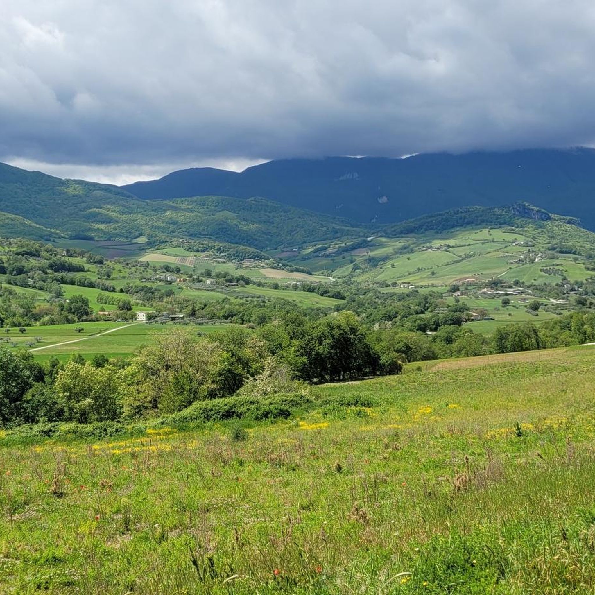
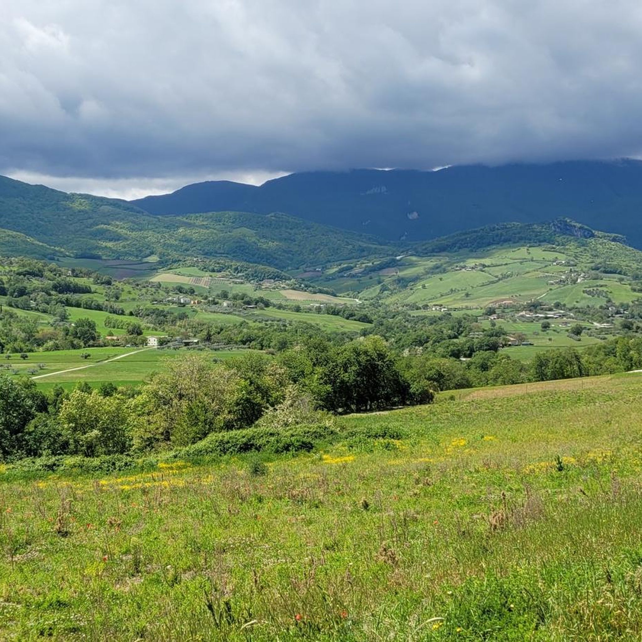
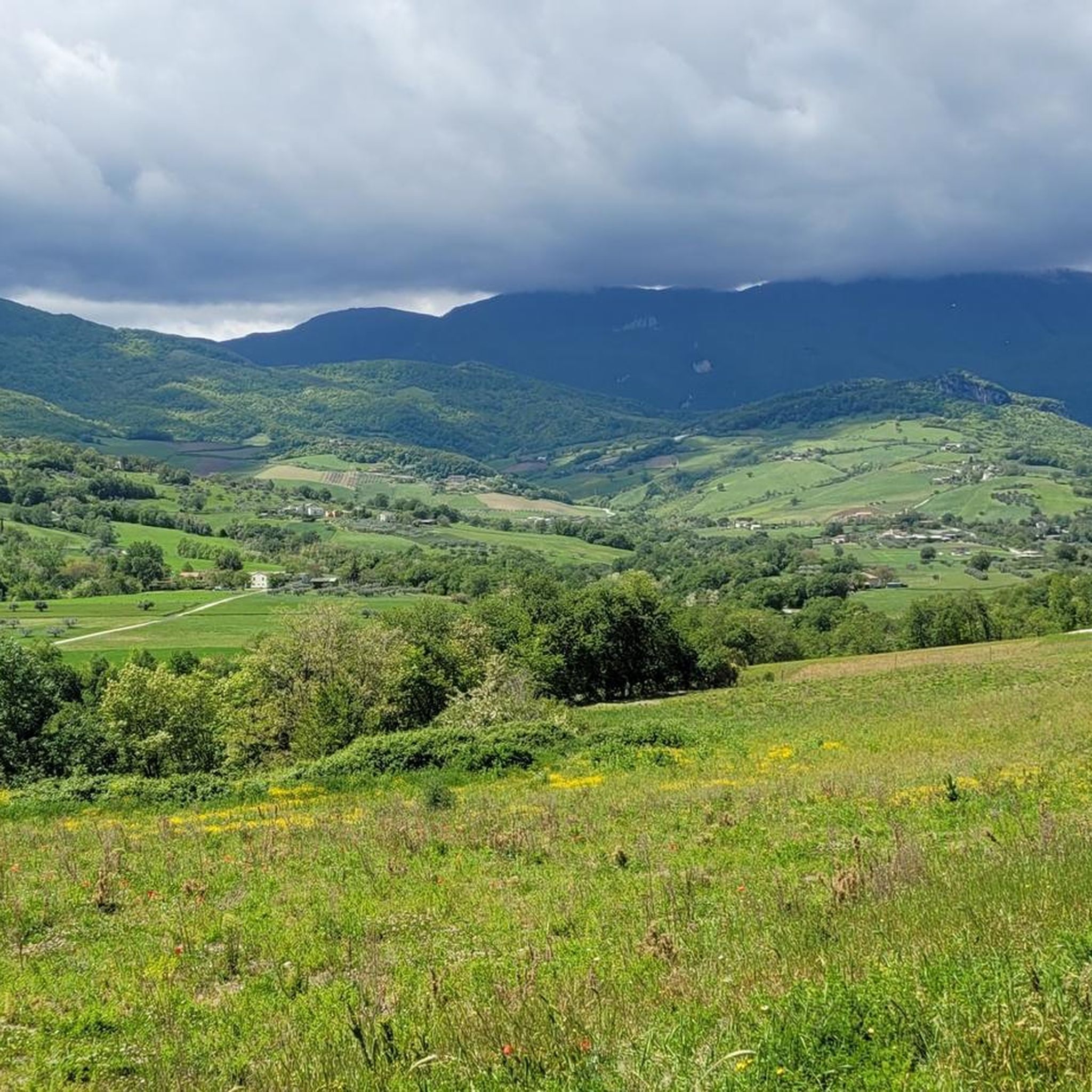
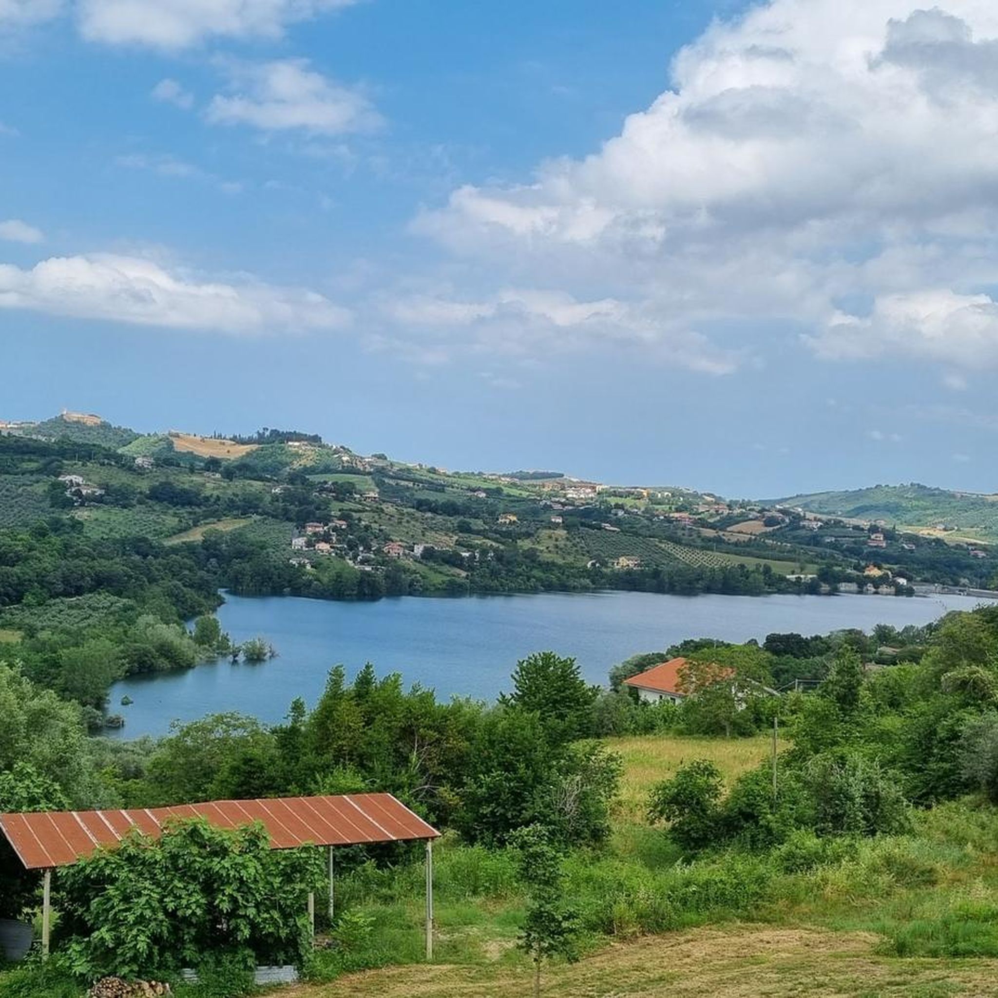
Hiking around Montebello Di Bertona offers diverse terrain within the Abruzzo region of Italy. The landscape is characterized by rolling hills, natural lakes, and proximity to national park areas, providing varied environments for outdoor exploration. Elevations are generally moderate, with some routes leading to higher points offering expansive views. The area features a mix of open paths and forested sections, suitable for different hiking preferences.
Best hiking trails around Montebello Di Bertona
- The most popular hiking route is Penne Lake Loop Trail, an easy 3.9 miles (6.3 km) trail that takes 1 hour 41 minutes to complete. This circular path offers views of the lake and surrounding natural areas.
- Another top favourite among local hikers is Lago di Pietralunga – Vitella d'Oro Waterfall loop from Farindola, a moderate 5.2 miles (8.4 km) path. This route features both a lake and a waterfall, providing varied natural scenery.
- Local hikers also love the Mount Cappucciata loop from Parco Nazionale di Gran Sasso e Monti della Laga, a 7.8 miles (12.5 km) trail leading through the Gran Sasso e Monti della Laga National Park, often completed in about 4 hours 1 minute.
- Hiking around Montebello Di Bertona is defined by its hills, lakes, and national park landscapes. The network offers options for easy, moderate, and more challenging ability levels.
- The routes in Montebello Di Bertona are highly rated by the komoot community with an average score of 4.6 stars from over 300 reviews. More than 2000 hikers have used komoot to explore Montebello Di Bertona's varied terrain.
Last updated: July 9, 2026
3.8
(27)
84
hikers
6.29km
01:41
80m
80m
Easy hike. Great for any fitness level. Easily-accessible paths. Suitable for all skill levels.
3.9
(9)
23
hikers
8.37km
02:43
390m
390m
Moderate hike. Good fitness required. Easily-accessible paths. Suitable for all skill levels.

Sign up for free
5.0
(5)
19
hikers
12.5km
04:01
490m
490m
Moderate hike. Good fitness required. Mostly accessible paths. Sure-footedness required.
22
hikers
7.17km
02:03
170m
170m
Moderate hike. Good fitness required. Easily-accessible paths. Suitable for all skill levels.
4.5
(6)
22
hikers
15.9km
05:02
540m
550m
Hard hike. Very good fitness required. Mostly accessible paths. Sure-footedness required.
Get access to more routes and recommendations from other explorers.
Sign up for free
Already have an account?
Our route recommendations are based on thousands of hikes, rides, and runs completed by other people on komoot.
Start today with a free account
Your next adventure awaits.
Login or Signup
Tips from the Community

How does this bridge get its name? In Italy and other parts of Europe, Ponte Tibetano (Tibetan bridge) is the established, general term for a narrow, wobbly suspension bridge for pedestrians. The name refers to the traditional rope bridges built centuries ago in the Himalayan region (including Tibet) to cross deep gorges and wild rivers.
4
0
What began in the second half of the sixties as an artificial reservoir through the construction of a dam on the Tavo river has today become a true natural paradise. The lake forms the heart of the region's first WWF oasis and offers a varied landscape of water, deciduous forests, and wetlands.
4
0


About 7km. by car from Villa Celiera (PE)
1
0

Very cold water, I do not recommend bathing in it
0
0
Nice walk even with children... eating al fresco under the waterfalls is wonderful
0
0

Very well maintained small lake with clear water. Ideal for lovers of sport fishing. https://www.facebook.com/pietralungafarindola/
0
0
Frequently Asked Questions
How many hiking trails are available around Montebello Di Bertona?
There are over 60 hiking trails around Montebello Di Bertona, offering a wide range of options for different skill levels and preferences. This includes 13 easy routes, 33 moderate routes, and 17 difficult routes.
Are there easy hiking trails suitable for beginners or families in Montebello Di Bertona?
Yes, Montebello Di Bertona offers several easy trails perfect for beginners or families. One popular option is the Penne Lake Loop Trail, an easy 3.9-mile (6.3 km) circular path that provides scenic views of the lake and surrounding natural areas.
What kind of natural attractions can I expect to see on hikes in this region?
The region around Montebello Di Bertona is characterized by rolling hills, natural lakes, and proximity to national park areas. You can find routes featuring both lakes and waterfalls, such as the Lago di Pietralunga – Vitella d'Oro Waterfall loop from Farindola. Many trails also offer expansive views from higher points.
Are there any circular hiking routes in Montebello Di Bertona?
Yes, many of the trails around Montebello Di Bertona are circular, allowing you to start and end at the same point. Examples include the Penne Lake Loop Trail and the Mount Cappucciata loop from Parco Nazionale di Gran Sasso e Monti della Laga.
What are some notable landmarks or points of interest near the hiking trails?
Beyond the natural beauty, you can explore several interesting points. Highlights include various peaks like Mount Cappucciata and Monte Tremoggia. There's also the Capo la Serra Pass and the unique Scoppaturo Canyon.
What do other hikers enjoy most about hiking in Montebello Di Bertona?
The area is highly rated by the komoot community, with an average score of 4.6 stars from over 300 reviews. Hikers often praise the diverse terrain, from rolling hills to natural lakes, and the varied environments suitable for different preferences. The trails leading through the Gran Sasso e Monti della Laga National Park are particularly popular.
Are there any hikes that lead through the Gran Sasso e Monti della Laga National Park?
Absolutely. Several routes in the Montebello Di Bertona area extend into the Gran Sasso e Monti della Laga National Park. A notable example is the Mount Cappucciata loop from Parco Nazionale di Gran Sasso e Monti della Laga, which offers a substantial 7.8-mile (12.5 km) journey through this protected landscape.
What is the typical duration for hikes around Montebello Di Bertona?
Hike durations vary significantly depending on the route's length and difficulty. Easy trails like the Penne Lake Loop Trail can be completed in under 2 hours, while moderate routes such as the Rifugio Pantani loop from Parco Nazionale di Gran Sasso e Monti della Laga might take around 2-3 hours. Longer, more challenging routes can extend to 4 hours or more.
Are there options for longer day hikes in the Montebello Di Bertona area?
Yes, for those seeking longer excursions, there are several options. The Mount Cappucciata loop from Parco Nazionale di Gran Sasso e Monti della Laga is a moderate 9.7-mile (15.6 km) trail that typically takes around 5 hours to complete, offering a full day of exploration within the national park.
Where can I find places to eat or refresh after a hike?
While specific cafes directly on trails are rare, the region offers options for refreshment. For example, the Mucciante Refreshment Stop is a highlight that can be found in the broader area, providing a place to rest and refuel.
What are the best times of year to hike in Montebello Di Bertona?
The best times to hike are generally spring and autumn when the weather is mild and the landscapes are vibrant. Summer can also be pleasant, especially at higher elevations, but it's advisable to start early to avoid the midday heat. Winter hiking is possible, particularly on lower elevation trails, but requires appropriate gear and checking local conditions for snow or ice.
Most popular attractions around Montebello Di Bertona

Get inspired with the komoot mobile app


Explore more
Browse the best Hikes in other regions.
