The best walks and hikes around Vigonovo
4.1
(906)
6,645
hikers
13
hikes
Hiking around Vigonovo offers routes primarily through flat terrain, characterized by riverbanks and canals. The landscape features open agricultural areas and pathways alongside waterways, providing accessible outdoor experiences. Elevation changes are minimal, making the region suitable for leisurely walks. These trails connect various local points of interest and natural settings.
Best hiking trails around Vigonovo
- The most popular hiking route is Cammino dei Giusti del Mondo memorial walk along Padova's canals, a 10.2 miles (16.4 km) trail that takes…
Last updated: October 8, 2026
5.0
(1)
9
hikers
16.4km
04:09
20m
20m
Moderate hike. Good fitness required. Easily-accessible paths. Suitable for all skill levels.
4.5
(33)
157
hikers
9.18km
02:19
10m
10m
Moderate hike. Good fitness required. Easily-accessible paths. Suitable for all skill levels.

4.5
(4)
68
hikers
Moderate hike. Good fitness required. Easily-accessible paths. Suitable for all skill levels.
4.0
(1)
30
hikers
6.79km
01:42
10m
10m
Easy hike. Great for any fitness level. Easily-accessible paths. Suitable for all skill levels.
5.0
(4)
21
hikers
Moderate hike. Good fitness required. Easily-accessible paths. Suitable for all skill levels.
Get access to more routes and recommendations from other explorers.
Already have an account?
Our route recommendations are based on thousands of hikes, rides, and runs completed by other people on komoot.
Start today with a free account
Your next adventure awaits.

Other adventures around Vigonovo

Tips from the Community

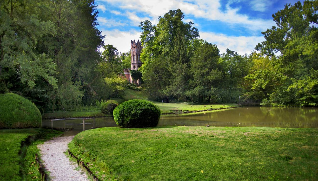
Villa Giovanelli Colonna, in Noventa Padovana, is one of the most scenic historic villas in the area. Built between the 17th and 18th centuries, it strikes with its monumental access staircase and elegant colonnaded entrance, which introduces the villa overlooking the Piovego.
1
0
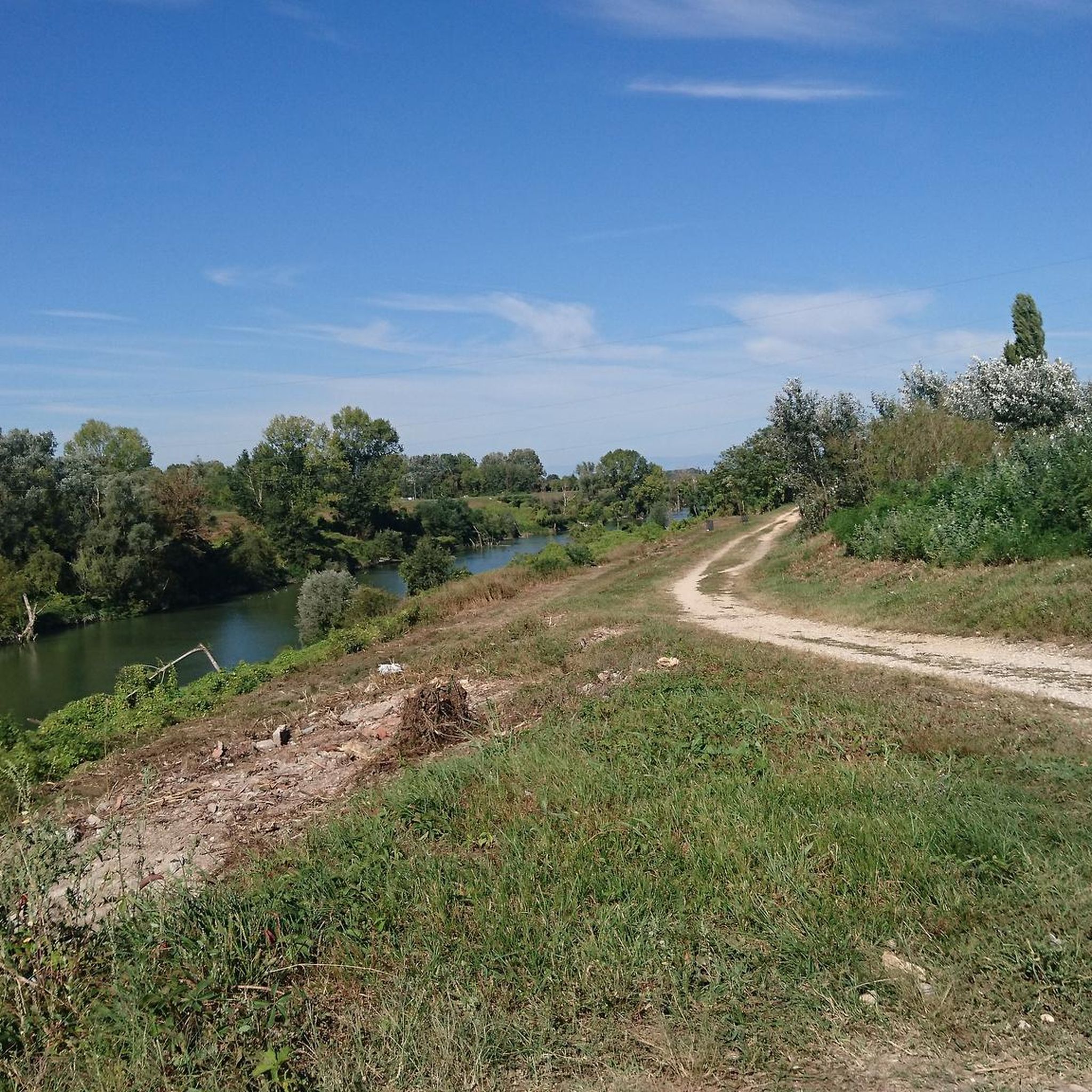
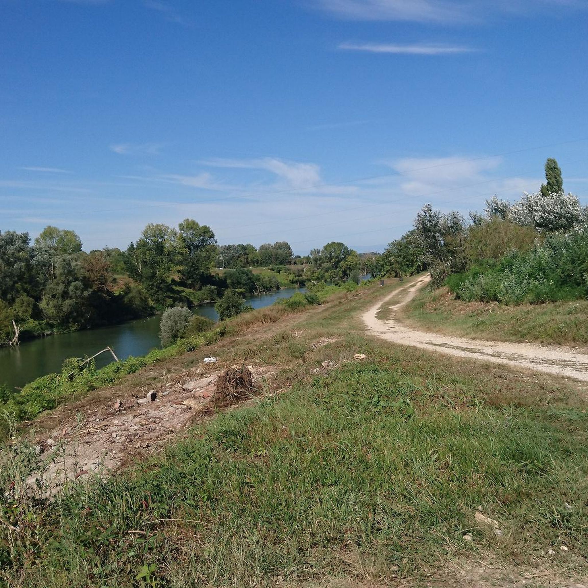
Along the right bank of the Brenta, the route follows the course of the river through a flat landscape of fields, trees, and riparian vegetation. A quiet stretch to walk or cycle.
1
0

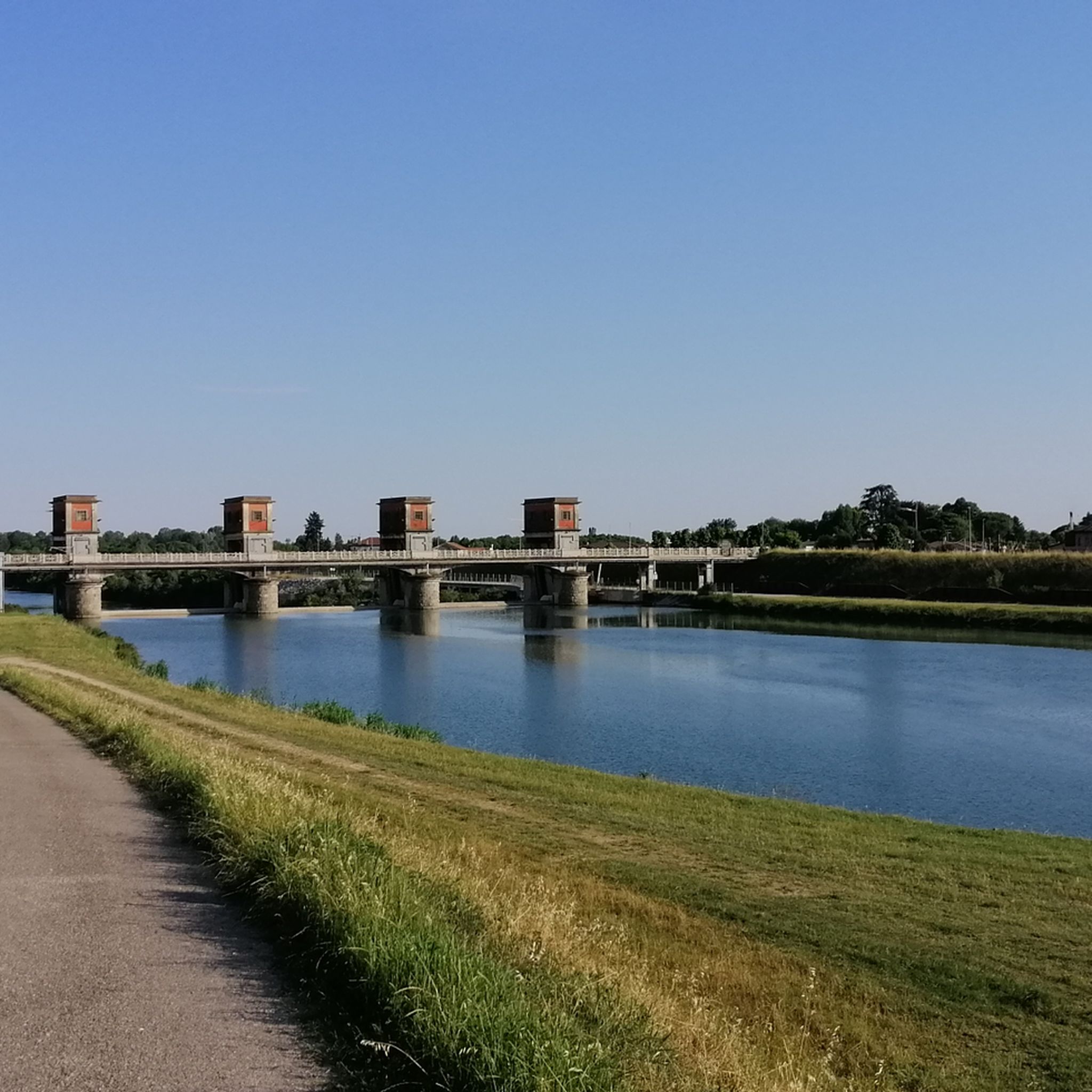
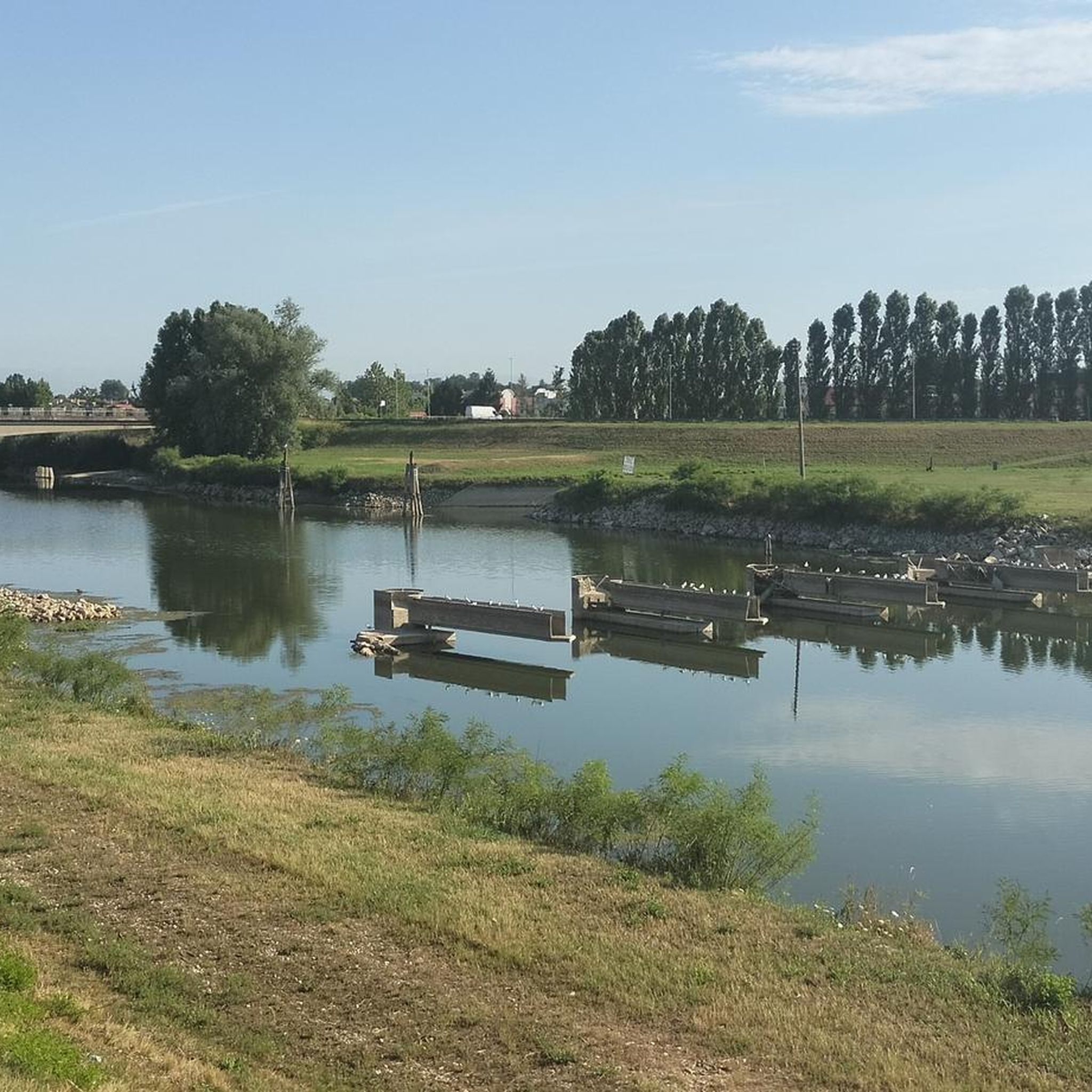
In Stra, the Piovego canal flows into the Brenta river, at the height of the Naviglio del Brenta, an important historical waterway between Padua and Venice. The intersection is regulated by locks such as the Porte Vinciane, which allow for hydraulic control and navigation, also contributing to the protection of the lagoon. This junction is part of the broader hydraulic structure of the Veneto plain, articulated into upper, middle, and lower plain. The upper plain features permeable soils with deep water tables, while the middle and lower ones are characterized by finer sediments and shallower water tables, requiring a network of canals and reclamation works to manage water and prevent floods.
2
0

nice, there's a little bridge just for bikes, then it ends on a staircase
1
0


If you want to get to the historic center of Padua coming from Venice you have to follow the PIOVEGO leaving the BRENTA on your right
3
1
Bridge that connects Noventa to Camin
8
0
Frequently Asked Questions
How many hiking trails are available around Vigonovo?
There are over 10 hiking routes around Vigonovo, offering a variety of experiences primarily through flat terrain. These trails are well-suited for leisurely walks along riverbanks and canals.
Are there easy hiking routes suitable for beginners in Vigonovo?
Yes, Vigonovo offers several easy hiking routes. For instance, the Trail Along the River loop from Vigonovo is an easy 4.3-mile (6.9 km) path that provides a flat and accessible walking experience along the river.
What kind of terrain can I expect on hikes around Vigonovo?
Hikes around Vigonovo are characterized by mostly flat terrain, following river paths, canal-side routes, and agricultural land. Elevation changes are minimal, making the area ideal for relaxed walks rather than strenuous climbs.
Are there any circular walks available near Vigonovo?
Yes, many routes around Vigonovo are circular. An example is the Camin Bridge over the Piovego – Parco I Pioppi Playground loop from Tombelle, a 7.7-mile (12.4 km) trail that takes you through riverine landscapes.
What are some scenic viewpoints or attractions I can see along the trails?
While the region is known for its flat, water-side landscapes, you can encounter historical villas and natural highlights. For example, the Villa Foscarini Rossi, Stra loop from Vigonovo passes by the notable Villa Foscarini Rossi. Other nearby attractions include Villa Pisani, Stra and the Horse Trail (Brenta River Trail).
Is Vigonovo suitable for family-friendly hikes?
Absolutely. The predominantly flat terrain and well-maintained paths along canals and rivers make Vigonovo an excellent choice for family-friendly hikes. Many routes are easy and offer pleasant, accessible outdoor experiences for all ages.
What do other hikers enjoy most about the trails in Vigonovo?
The trails in Vigonovo are highly rated by the komoot community, with an average score of 4.2 stars from over 700 reviews. Hikers often praise the peaceful canal-side walks, the flat and accessible nature of the routes, and the opportunity to enjoy the agricultural landscapes.
Are there options for longer, more moderate hikes in the area?
Yes, if you're looking for a longer walk, the Cammino dei Giusti del Mondo memorial walk along Padova's canals is a moderate 10.2-mile (16.4 km) trail that follows canals and offers an extended experience.
Where can I find parking for hiking trailheads in Vigonovo?
Parking availability varies by trailhead. Many routes, especially those starting from or passing through towns like Vigonovo or Tombelle, will have public parking areas nearby. It's advisable to check the specific tour details on komoot for parking information related to your chosen route.
Can I reach hiking trails in Vigonovo using public transport?
Vigonovo and its surrounding towns are generally accessible by local bus services. Depending on your starting point, you may be able to reach various trailheads via public transport. Checking local bus schedules and routes to specific towns like Vigonovo, Tombelle, or Stra is recommended.
What is the best time of year to go hiking in Vigonovo?
The best time to hike in Vigonovo is typically during spring (April-May) and autumn (September-October) when the weather is mild and pleasant. Summer can be warm, but the flat terrain and proximity to water can still make for enjoyable early morning or late afternoon walks. Winter hiking is possible, but trails can be damp, and appropriate waterproof gear is recommended.
Are there any less crowded hiking options around Vigonovo?
While popular routes can see more foot traffic, the extensive network of canal and river paths means you can often find quieter sections. Exploring some of the slightly longer routes, such as the Camin Bridge over the Piovego – Parco I Pioppi Playground loop from Vigonovo, might offer a more secluded experience, especially during off-peak hours.
Most popular attractions around Vigonovo

Get inspired with the komoot mobile app


Explore more
Browse the best Hikes in other regions.
