The best road cycling routes around Precenicco
4.4
(498)
9,184
riders
157
rides
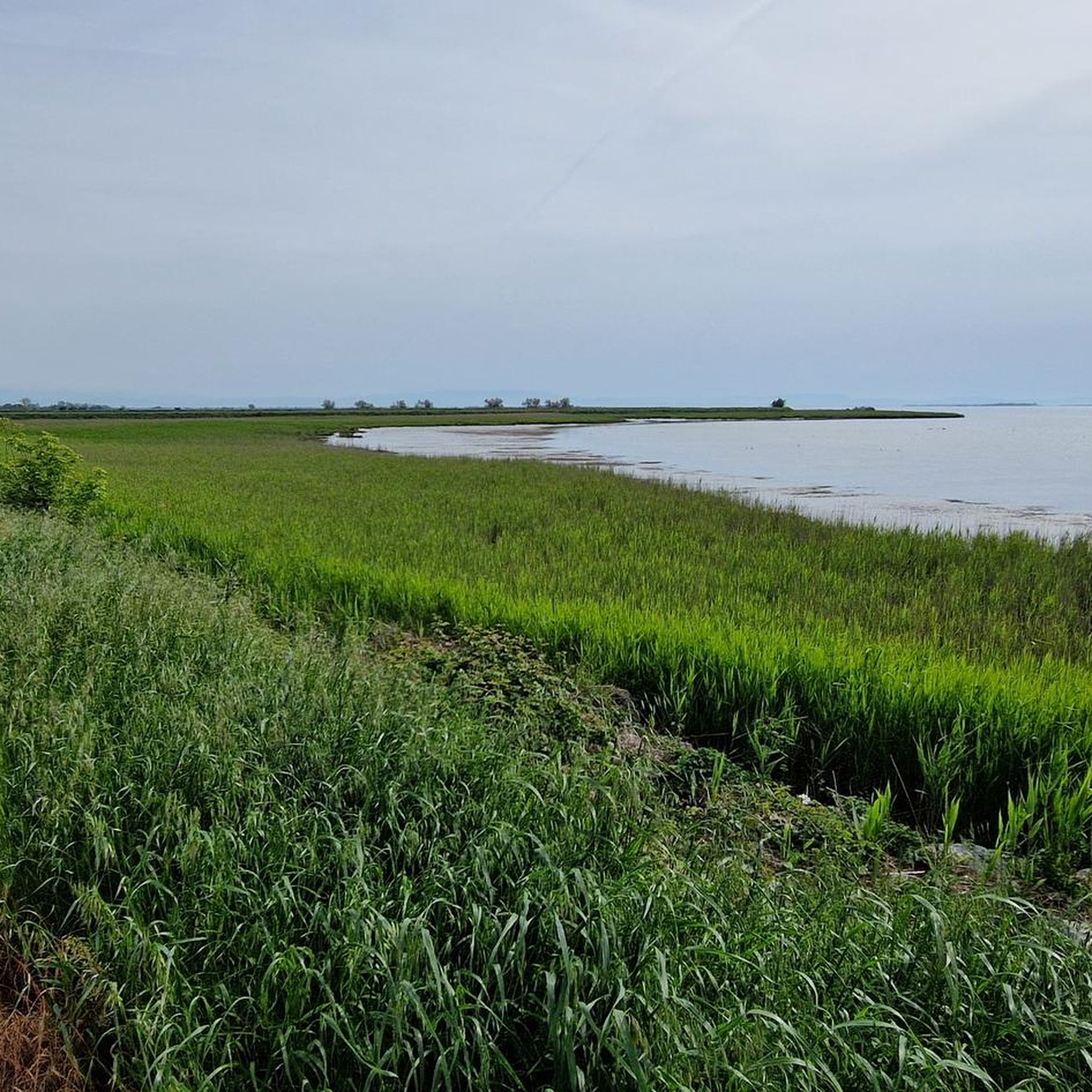
Road cycling around Precenicco features a landscape characterized by flat plains and the presence of the Tagliamento River, offering routes with minimal elevation gain. The region's terrain is primarily agricultural, interspersed with small towns and waterways. This area provides numerous road cycling routes suitable for various skill levels, focusing on scenic river bends and quiet country roads.
Best road cycling routes around Precenicco
- The most popular road cycling route is Villa Manin – Tagliamento Bend loop from Palazzolo dello Stella / Palaçûl, a difficult 58.6 miles (94.3 km) trail that takes 6 hours 2 minutes to complete. This route explores the Tagliamento River bend and passes by historical sites.
- Another top favourite among local road cyclists is Bevazzana Canal and Bridge – Tagliamento Bridge loop from Ristorante Taverna Al Pescatore, an easy 22.2 miles (35.7 km) path. This route offers views of canals and bridges across a flat landscape.
- Local road cyclists also love the Avenue of Cypresses – Tagliamento Bend loop from Latisana / Tisane, a 15.4 miles (24.8 km) trail leading through an Avenue of Cypresses and along the Tagliamento River, often completed in about 56 minutes.
- Road cycling around Precenicco is defined by flat agricultural plains, river bends, and quiet country roads. The network offers options for different ability levels, from easy rides along canals to longer, more challenging routes.
- The routes in Precenicco are highly rated by the komoot community with an average score of 4.4 stars from over 350 reviews. More than 8,000 road cyclists have used komoot to explore Precenicco's varied terrain.
Last updated: July 18, 2026
4.4
(10)
134
riders
Moderate road ride. Good fitness required. Mostly well-paved surfaces and easy to ride.
4.3
(3)
124
riders
Easy road ride. Great for any fitness level. Mostly well-paved surfaces and easy to ride.

Sign up for free
3.0
(2)
66
riders
Easy road ride. Great for any fitness level. Mostly well-paved surfaces and easy to ride.
29
riders
Moderate road ride. Great for any fitness level. Some segments of this route may be unpaved and difficult to ride.
29
riders
Easy road ride. Great for any fitness level. Mostly well-paved surfaces and easy to ride.
Get access to more routes and recommendations from other explorers.
Sign up for free
Already have an account?
Our route recommendations are based on thousands of hikes, rides, and runs completed by other people on komoot.
Start today with a free account
Your next adventure awaits.
Login or Signup
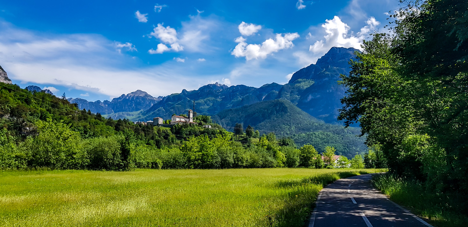
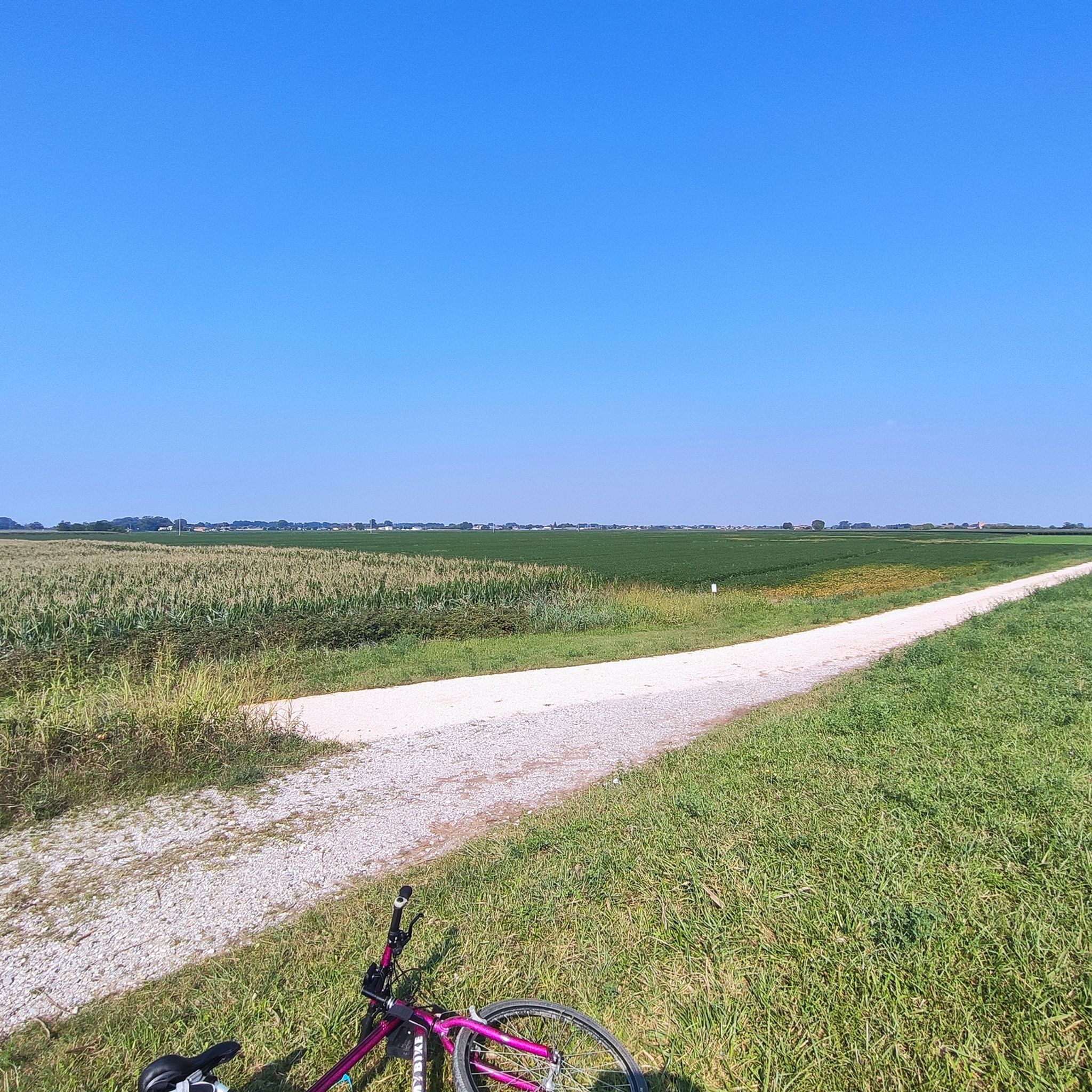

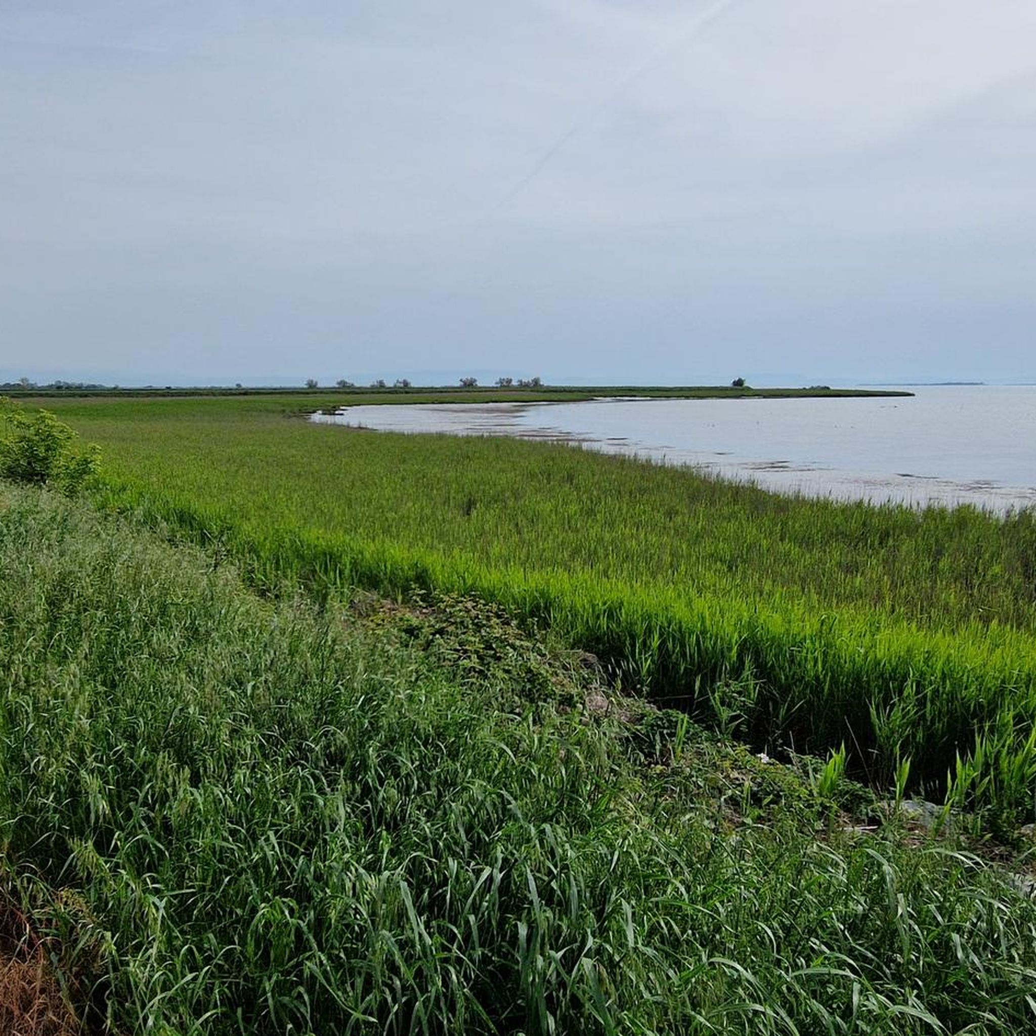
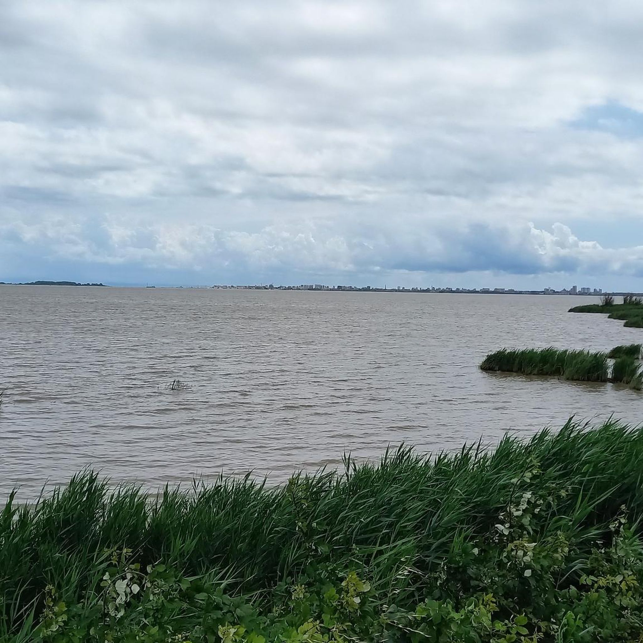
Other adventures around Precenicco

Tips from the Community

The Belvedere Trabucco is a panoramic viewpoint located in Grado, precisely along the dam that borders the historic center and overlooks the Adriatic Sea. This place takes its name from the "trabucchi", the ancient and ingenious wooden fishing machines typical of the Adriatic coasts, characterized by long arms that support a balance net. Although trabucchi are more famous in Gargano or on the Abruzzo coast, even in Grado these structures have marked the history of lagoon fishing. The belvedere offers a breathtaking view that ranges from the Friulian coasts to the profile of Trieste and Istria on clearer days. It is an unmissable stop for those walking along the seafront promenade, transforming into a magical place at sunset, when the wooden structure of the trabucco stands out like a dark shadow against the bright colors of the sky and water.
0
0

A very interesting settlement from the 17th century. In the 19th century, Count Alvise Mocenigo decided to establish an "ideal city" under his name. Unlike similar projects, Mocenigo designed a settlement with infrastructure intended to make the community self-sufficient. Therefore, in addition to traditional agriculture (which was expanded by introducing innovative techniques, for example in rice and sugar beet cultivation), he attempted to integrate an industrial sector (particularly the textile industry) that could draw on locally produced resources. The landscape was thus reshaped and reclaimed, with dry areas alternating with moist soils, regulated by an efficient canal system that is still in operation today. In terms of urban planning, buildings were erected for residential purposes (the low farmhouses are still visible today) and for industrial purposes (bakery, rice mill, blast furnace, mill). Cultural activities were also added with the founding of a famous printing press, which operated in Alvisopoli until 1814 and was then moved to Venice. Source: Wikipedia
1
0
A very beautiful church along the route - very impressive!
0
0

The Porta di San Giovanni in Portogruaro dates back to the twelfth century.
0
0

Panorama of the Tagliamento Cycle Path
0
0
Villa Mocenigo in Alvisopoli is a beautiful seventeenth-century residential complex owned by the Mocenigo family. It was built with the intention of making it self-sufficient.
1
0

panoramic route on good track
0
0
Taking some pictures from this position makes the Tagliamento and Latisana very special.
1
0
Frequently Asked Questions
How many road cycling routes are available around Precenicco, and what are their difficulty levels?
There are over 140 road cycling routes around Precenicco. The majority are easy (around 77 routes) or moderate (around 67 routes), with a few more challenging options (around 4 routes) for experienced cyclists.
Are there family-friendly road cycling routes in Precenicco?
Yes, Precenicco's flat agricultural plains and quiet country roads make it suitable for family cycling. Many of the easy routes, such as the Avenue of Cypresses – Tagliamento Bend loop from Latisana / Tisane, are ideal for families looking for a relaxed ride.
What are some good road cycling routes for beginners in the Precenicco area?
Beginners will find many suitable options due to the region's flat terrain. An excellent choice is the Bevazzana Canal and Bridge – Tagliamento Bridge loop from Ristorante Taverna Al Pescatore, an easy 22.2-mile (35.7 km) path offering scenic views of canals and bridges with minimal elevation gain.
What kind of terrain can I expect on road cycling routes around Precenicco?
Road cycling around Precenicco is characterized by flat agricultural plains, river bends, and quiet country roads. The terrain offers minimal elevation gain, making it ideal for smooth, consistent rides.
Are there any loop road cycling trails in Precenicco?
Yes, many routes in Precenicco are designed as loops, allowing you to start and finish in the same location. An example is the Tagliamento Bend – Avenue of Cypresses loop from Palazzolo dello Stella / Palaçûl, a moderate 27.7-mile (44.6 km) route.
What can I see along the road cycling routes in Precenicco?
Many routes follow the Tagliamento River, offering scenic views of its bends and surrounding nature. You can also explore highlights like the Tagliamento River Mouth, the Villanova Oak (national monument), or the Stella River in Precenicco. Some routes also pass through the Ernest Hemingway Public Park.
What do other road cyclists enjoy most about road cycling in Precenicco?
The area is highly rated by the komoot community, with an average score of 4.4 stars from over 350 reviews. Reviewers often praise the quiet country roads, the flat and accessible terrain, and the scenic views along the Tagliamento River and canals.
Are there any longer, more challenging road cycling routes for advanced riders?
While the region is predominantly flat, there are longer routes that offer a greater challenge through their distance. The Villa Manin – Tagliamento Bend loop from Palazzolo dello Stella / Palaçûl is a difficult 58.6-mile (94.3 km) trail that explores the Tagliamento River bend and passes by historical sites, taking approximately 6 hours to complete.
What is the best time of year for road cycling in Precenicco?
The flat terrain of Precenicco makes it enjoyable for road cycling for much of the year. Spring and autumn generally offer pleasant temperatures and beautiful scenery, with autumn providing unique colors along the riverbanks and agricultural fields.
Are there any routes that explore the natural beauty of the region?
Many routes highlight the natural landscape, particularly those following the Tagliamento River and its tributaries. You can find routes that pass by the Selva d'Arvonchi Nature Reserve or offer views of the Val Grande Nature Oasis, showcasing the area's biodiversity.
Can I find routes that pass by local attractions or points of interest?
Yes, several routes incorporate local points of interest. For example, the Varmo Stream – Tenuta di Fraforeano loop from Palazzolo dello Stella takes you through the countryside, potentially near local estates and the Varmo Stream.
Most popular routes around Precenicco
Most popular attractions around Precenicco

Get inspired with the komoot mobile app


Explore more
Browse the best Road cycling routes in other regions.
