The best road cycling routes around Andreis
4.2
(113)
3,122
riders
77
rides
Road cycling routes around Andreis are set within Italy's Friuli Venezia Giulia region, characterized by the dramatic Valcellina and its deep Cellina Gorge. The terrain features significant elevation changes, with routes traversing through mountains such as the Friulian Dolomites and offering views of the Piancavallo and Cansiglio ranges. Cyclists will encounter natural features like the clear waters of the Cellina River and the artificial Lake Barcis, providing varied landscapes for road biking.
Best road cycling routes around Andreis
- The most…
Last updated: September 25, 2026
3.0
(1)
76
riders
55.8km
02:54
950m
950m
Hard road ride. Very good fitness required. Mostly well-paved surfaces and easy to ride.
69
riders
67.0km
03:58
1,450m
1,450m
Hard road ride. Very good fitness required. Some segments of this route may be unpaved and difficult to ride.

5.0
(3)
72
riders
56.4km
02:25
370m
370m
Moderate road ride. Good fitness required. Mostly well-paved surfaces and easy to ride.
60
riders
Moderate road ride. Good fitness required. Mostly well-paved surfaces and easy to ride.
3.0
(1)
41
riders
91.6km
04:30
1,340m
1,340m
Hard road ride. Very good fitness required. Mostly well-paved surfaces and easy to ride.
Get access to more routes and recommendations from other explorers.
Already have an account?
Our route recommendations are based on thousands of hikes, rides, and runs completed by other people on komoot.
Start today with a free account
Your next adventure awaits.
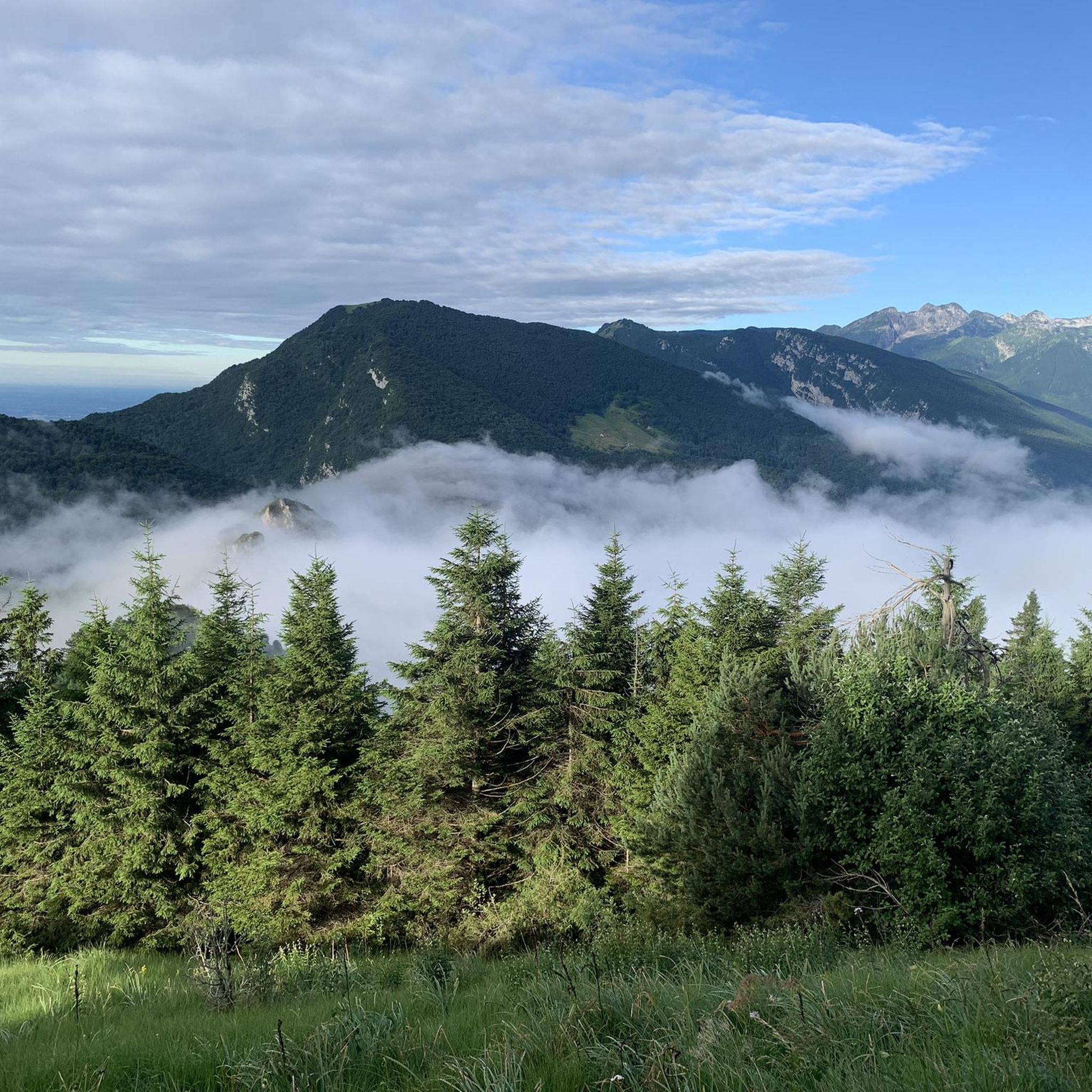
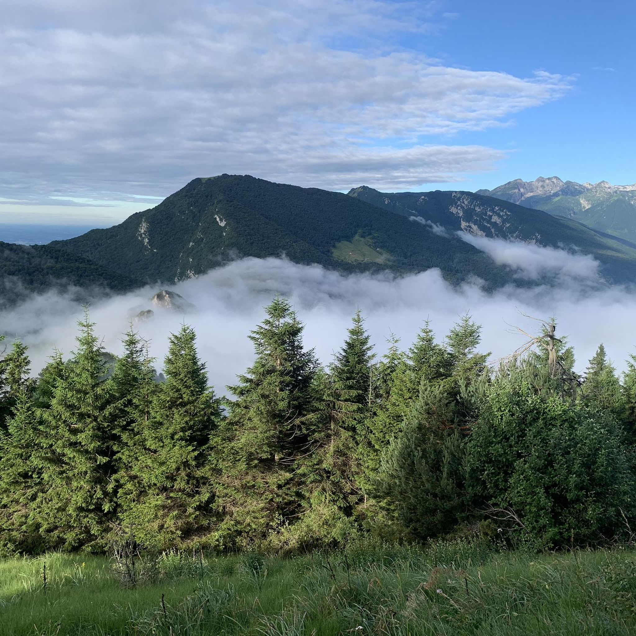
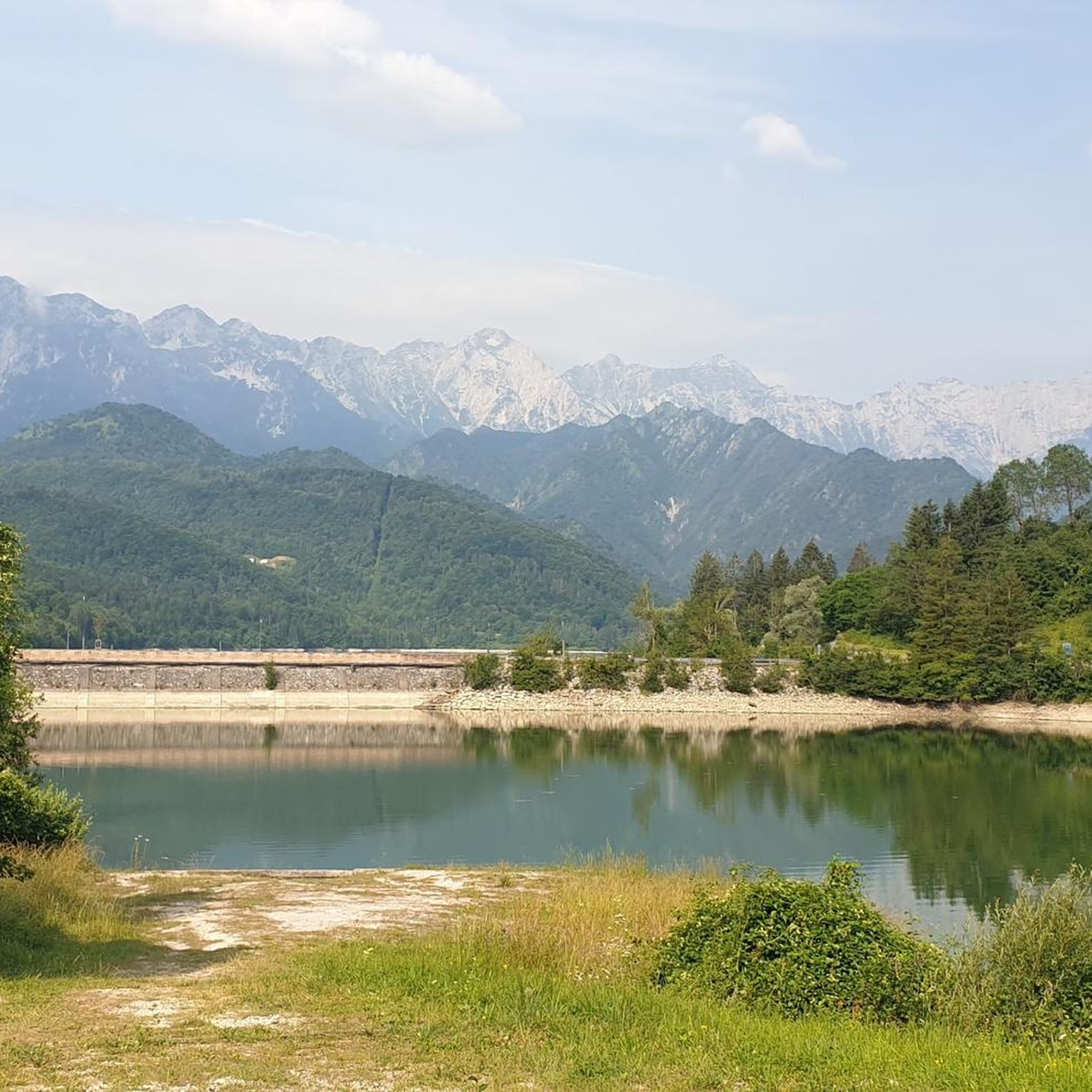
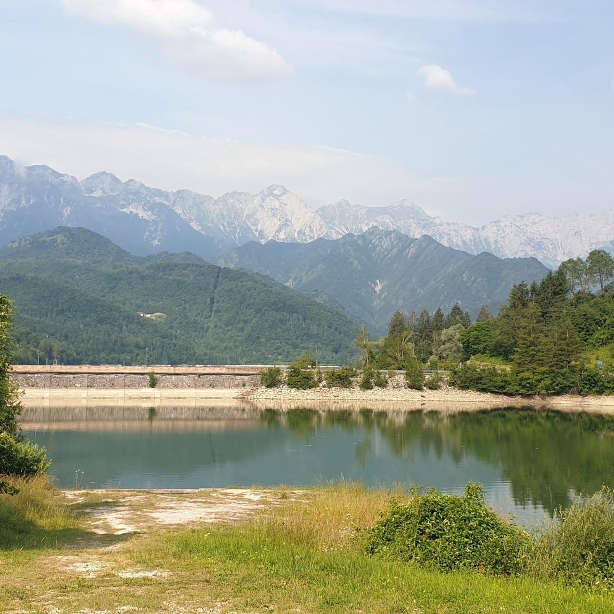

Tips from the Community

Bridge over the Arzino stream, the ideal place for a break to cool your feet on summer days
0
0

A paved road leads through the valley with some very well-lit tunnels and galleries. In some places, there are beautiful views of the Arrzino watercourse with its crystal-clear water.
0
0
From the bridge, there is a beautiful view of the Arzino and its crystal-clear watercourse.
0
0
Anduins can be reached and traversed in various ways. In the village, some "panorama opportunities" with a wide view into Friuli towards the southeast and over the Tagliamento are available.
0
0

The double passage of cyclists during stage 20 of the Giro d'Italia 2026
1
0
The crowded hairpin turn during the double passage of the Giro d'Italia 2026 caravan
0
0
The KM Red Bull finish line is being set up for the Giro d'Italia 2026
0
0
The bridge over the Cellina river at the end of the mountain part, before continuing its path along the Friulian plain
0
0
Frequently Asked Questions
How many road cycling routes are available around Andreis?
Andreis offers a wide selection of road cycling routes, with over 80 options available. These routes cater to various fitness levels, ranging from easy loops to challenging climbs through the mountainous terrain.
What are the typical difficulty levels for road cycling routes in Andreis?
The road cycling routes around Andreis present a diverse range of difficulties. You'll find 21 easy routes, 39 moderate routes, and 22 difficult routes. This variety ensures options for both casual riders and experienced cyclists seeking significant elevation gains.
Are there any routes suitable for beginners or those looking for an easier ride?
Yes, Andreis has several easier road cycling options. For instance, the Ravedis Bridge – Cellina Bridge loop from Malnisio / Malnîs is an easy 18.9 km trail with moderate elevation, often completed in under an hour, making it a good choice for a less strenuous ride.
What kind of elevation gain can I expect on road cycling routes in Andreis?
Road cycling in Andreis is characterized by significant elevation changes due to its mountainous setting. Routes can feature substantial climbs; for example, the difficult Bridge over the Meduna in Navarons – Lake Tramonti loop from Montereale Valcellina includes over 1,500 meters of ascent.
What natural features or landmarks can I see while road cycling in Andreis?
The region around Andreis is rich in natural beauty. Cyclists can experience the dramatic Valcellina and its deep Cellina Gorge, the clear waters of the Cellina River, and the picturesque artificial Lake Barcis. Routes also offer views of the Piancavallo and Cansiglio mountains, and traverse through parts of the Friulian Dolomites.
Are there any specific routes that offer stunning viewpoints or scenic landscapes?
Many routes provide breathtaking scenery. The Ravedis Bridge – Cellina Bridge loop from Montereale Valcellina offers views of the Cellina Gorge and its distinctive rock formations. The old Valcellina road, now a cycling path, provides unique vistas of deep canyons and the striking blue river. Additionally, the region's mountains and lakes offer numerous panoramic spots.
Can I find circular road cycling routes in the Andreis area?
Yes, many of the road cycling routes around Andreis are designed as loops, allowing you to start and finish in the same location. Examples include the Bridge over the Meduna in Navarons – Lake Tramonti loop and the Ravedis Bridge – Cellina Bridge loop, both starting from Montereale Valcellina.
What do other cyclists say about road cycling in Andreis?
The road cycling experience in Andreis is highly regarded by the komoot community, with an average rating of 4.7 out of 5 stars from over 100 reviews. Cyclists often praise the deep gorges, surrounding mountains, and picturesque lakes that define the routes, as well as the variety of options for different ability levels.
Are there any interesting attractions near the road cycling routes in Andreis?
Beyond the cycling, the area offers several attractions. You can explore fascinating caves like Grotta Landri Scur or the Adriano Bruna Botanical Trail and Caves. There are also various huts and refuges, such as Pradut Hut or Casera Casavento, which can be interesting stops along or near your routes.
What is the best time of year for road cycling in Andreis?
The best time for road cycling in Andreis is generally during the warmer months, from spring through early autumn. This period offers more favorable weather conditions to fully enjoy the mountainous terrain and scenic landscapes, avoiding the colder temperatures and potential snow of winter.
Where can I find parking for my car when starting a road cycling route in Andreis?
While specific parking areas for cyclists are not detailed, Andreis and nearby towns like Montereale Valcellina, which serve as common starting points for many routes, typically offer public parking facilities. It's advisable to check local signage upon arrival for designated parking spots.
Are there options for public transport to Andreis if I want to bring my bike?
Public transport options to Andreis, especially with a bike, may be limited. While local bus services might connect to larger towns, their capacity for bicycles can vary. For longer distances, consider regional trains to nearby major stations, then cycle or arrange a transfer to Andreis. It's recommended to check specific operator policies regarding bike transport in advance.
Most popular routes around Andreis
Most popular attractions around Andreis

Get inspired with the komoot mobile app


Explore more
Browse the best Road cycling routes in other regions.
