The best walks and hikes around Fanna
4.4
(1533)
5,561
hikers
296
hikes
Hiking around Fanna, in the Friuli region of Italy, offers access to varied terrain including the Val Colvera and surrounding hills. The landscape is characterized by valleys, gorges, and forested paths, with routes often connecting historical villages and points of interest. Elevation changes are present, ranging from gentle valley strolls to more challenging ascents.
Best hiking trails around Fanna
- The most popular hiking route is The Village of Runcis – Ruins of the Castle of Mizza loop from Fanna - Cavasso, a 7.3 miles (11.8 km) trail that takes 3 hours 40 minutes to complete. This moderate route explores historical ruins and local villages.
- Another top favourite among local hikers is Romantic Walk in Val Colvera loop from Fanna / Fana, a moderate 5.0 miles (8.0 km) path. This route offers scenic valley paths through the Val Colvera.
- Local hikers also love the The Village of Runcis – Runcis Trail loop from Fanna / Fana, a 6.1 miles (9.8 km) trail leading through local villages and natural trails, often completed in about 3 hours 9 minutes.
- Hiking around Fanna is defined by scenic valleys, historical ruins, and forested trails. The network offers options for different ability levels, from easy walks to more challenging ascents.
- The routes in Fanna are highly rated by the komoot community with an average score of 4.5 stars from over 1200 reviews. More than 4500 hikers have used komoot to explore Fanna's varied terrain.
Last updated: September 28, 2026
4.8
(4)
36
hikers
Moderate hike. Good fitness required. Easily-accessible paths. Suitable for all skill levels.
4.3
(3)
19
hikers
8.04km
02:18
180m
180m
Moderate hike. Good fitness required. Easily-accessible paths. Suitable for all skill levels.

4.6
(5)
24
hikers
16.6km
05:11
540m
540m
Hard hike. Very good fitness required. Mostly accessible paths. Sure-footedness required.
4.0
(5)
10
hikers
9.76km
03:09
400m
400m
Moderate hike. Good fitness required. Easily-accessible paths. Suitable for all skill levels.
3.0
(2)
18
hikers
11.4km
02:57
60m
60m
Moderate hike. Good fitness required. Easily-accessible paths. Suitable for all skill levels.
Get access to more routes and recommendations from other explorers.
Already have an account?
Our route recommendations are based on thousands of hikes, rides, and runs completed by other people on komoot.
Start today with a free account
Your next adventure awaits.
Tips from the Community

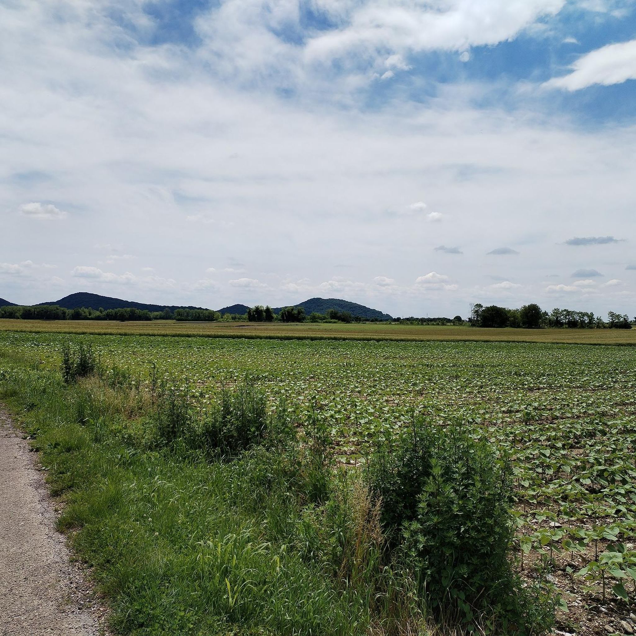
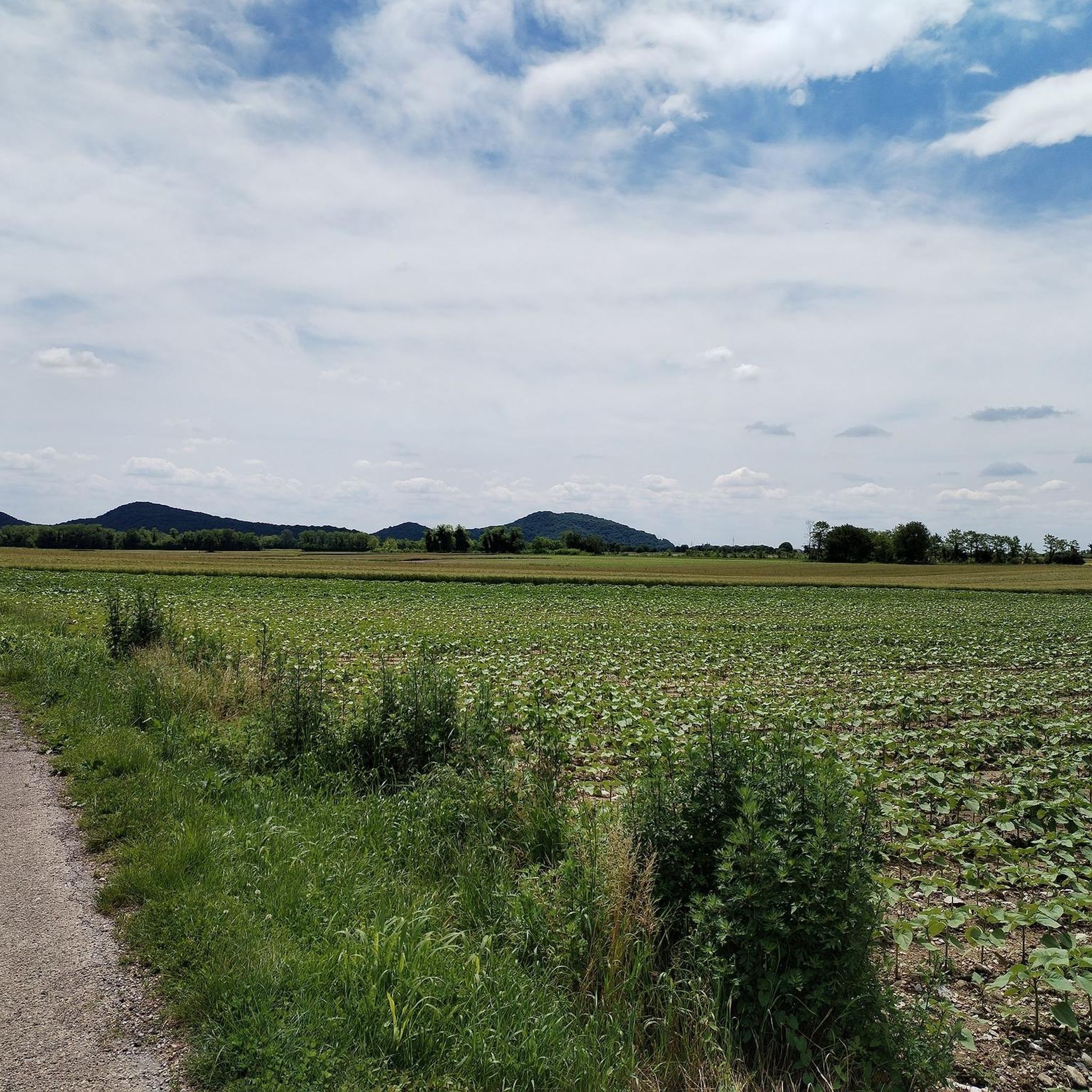
The Colvera valley is a small and pretty valley close to the Pordenone foothills.
0
0
This is one of the few points where the view opens up towards the plain.
1
0
The castle of Mizza was probably a defensive bastion built at the highest point of the ridge. Only this structure remains of the building.
0
0
The Runcis path is another very wild stretch, (it is forbidden to lose the thin track so as not to get lost in the thick shrub vegetation). The path connects the ridge of Col Taront to the ridge of the Mizza castle.
0
0
The beautiful sanctuary of the Madonna della Stangada is located on the ridge of Col Taront, which separates Frisanco from Fanna.
0
0

A perfect trail to ride on a mountain bike or gravel bike.
2
0

Votive church dedicated to the Blessed Virgin of Sorrows, known as the Sanctuary of the Madonna della Stangada. Its location, on the hill of the same name, corresponds to the place where ancient paths converge. It was built in 1860 (on a pre-existing religious building dating back to the 16th century) thanks to the interest of the parish priest Don Giovanni Fanis and the will of the inhabitants of Valdestali and Forcella who were too far from the parish church of Frisanco. The elegant bell tower was completed in 1874, but as early as 1877 the building needed restoration, repeated later on several occasions, the last of which following the 1976 earthquake. The wide access stairway dates back to the 1974. The building has a rectangular hall with a vaulted ceiling, the presbytery is square with a cross ceiling; on the front opens a rectangular portico supported by eight columns and leaning against the entrance. On the front an inscription reads: "Passenger who is passing through the street, stop to say hello to Maria".
1
1
Evocative district of the Pordenone foothills known for the amphitheatrical arrangement of its houses, in a sunny setting surrounded by greenery.
0
0
Frequently Asked Questions
How many hiking trails are available around Fanna?
There are over 270 hiking trails around Fanna, offering a wide range of options for exploring the Val Colvera and surrounding hills. These routes are highly rated by the komoot community, with an average score of 4.5 stars.
Are there hiking trails for all skill levels in Fanna?
Yes, Fanna offers trails for various skill levels. You'll find approximately 70 easy routes, 135 moderate trails, and 65 more challenging hikes, ensuring there's something for everyone from casual walkers to experienced hikers.
What kind of scenery can I expect on hikes around Fanna?
Hikes around Fanna feature diverse scenery, including scenic valleys, deep gorges, and extensive forested paths. Many routes also connect historical villages and offer glimpses of local architecture and historical ruins.
Are there any circular walks in Fanna?
Yes, Fanna is well-suited for circular walks. Many routes are designed as loops, allowing you to start and end in the same location. For example, the Romantic Walk in Val Colvera loop from Fanna / Fana is a popular moderate circular route through the valley.
What are some interesting landmarks or natural attractions to see while hiking in Fanna?
While hiking around Fanna, you can discover several interesting points. The area features natural monuments like Lake Tramonti and the Adriano Bruna Botanical Trail and Caves. You can also find impressive peaks such as Summit cross on Monte Jouf and Mount Valinis Summit.
Are there family-friendly hiking options in Fanna?
Fanna offers several routes suitable for families, particularly those with gentler elevation changes and shorter distances. Look for the 'easy' rated trails, which often follow valley paths or connect charming villages, providing an enjoyable experience for all ages.
Can I bring my dog on the hiking trails in Fanna?
Most hiking trails in Fanna are dog-friendly, allowing you to enjoy the natural beauty with your canine companion. However, it's always recommended to keep your dog on a leash, especially in populated areas or near livestock, and to check for any specific local regulations along your chosen route.
What is the typical length and duration of hikes in Fanna?
Hikes in Fanna vary significantly in length and duration. You can find shorter walks of a few kilometers taking an hour or two, up to longer, more challenging routes. For instance, the The Village of Runcis – Ruins of the Castle of Mizza loop from Fanna - Cavasso is about 11.8 km and takes around 3 hours 40 minutes, while the Romantic Walk in Val Colvera loop from Fanna - Cavasso is 16.6 km and can take over 5 hours.
Are there any trails that explore the Val Colvera gorge?
Yes, the Val Colvera is a prominent feature of the Fanna hiking experience. Routes like the San Lorenzo Chapel – Val Colvera Gorge loop from Maniago / Manià specifically highlight the gorge, offering dramatic views and a unique natural environment.
What do other hikers enjoy most about hiking in Fanna?
The area is highly rated by the komoot community, with an average score of 4.5 stars from over 1200 reviews. Hikers often praise the varied terrain, from peaceful valley strolls to more challenging ascents, and the opportunity to explore historical villages and natural landmarks like the Val Colvera.
Are there any trails that pass through historical villages or ruins?
Absolutely. Many routes in Fanna are designed to connect local villages and historical sites. For example, the The Village of Runcis – Ruins of the Castle of Mizza loop from Fanna - Cavasso specifically explores historical ruins and local communities, offering a blend of nature and culture.
Most popular attractions around Fanna

Get inspired with the komoot mobile app


Explore more
Browse the best Hikes in other regions.
