The best walks and hikes around Rotterode
4.6
(8816)
29,755
hikers
21
hikes
Hiking trails around Rotterode are situated within the Thuringian Forest, a UNESCO biosphere reserve. The region features lush mountain forests, clear streams, and elevated positions offering views. Its terrain includes valleys like the Moosbach Valley and access to the historic Rennsteig ridgeway trail. Rotterode's landscape provides varied elevation changes suitable for different hiking experiences.
Best hiking trails around Rotterode
- The most popular hiking route is Silberwiese Barbecue Area – Moosbach Stream loop from Steinbach-Hallenberg, a 9.0 miles (14.5 km)…
Last updated: September 29, 2026
4.8
(59)
149
hikers
11.4km
03:20
310m
310m
Moderate hike. Good fitness required. Easily-accessible paths. Suitable for all skill levels.
4.8
(19)
40
hikers
Moderate hike. Good fitness required. Easily-accessible paths. Suitable for all skill levels.

4.7
(3)
28
hikers
3.32km
00:53
40m
40m
Easy hike. Great for any fitness level. Easily-accessible paths. Suitable for all skill levels.
4.8
(8)
23
hikers
9.08km
02:36
210m
210m
Moderate hike. Good fitness required. Easily-accessible paths. Suitable for all skill levels.
4.7
(18)
72
hikers
8.29km
02:20
170m
170m
Moderate hike. Good fitness required. Easily-accessible paths. Suitable for all skill levels.
Get access to more routes and recommendations from other explorers.
Already have an account?
Our route recommendations are based on thousands of hikes, rides, and runs completed by other people on komoot.
Start today with a free account
Your next adventure awaits.

Tips from the Community

Magnificent species-rich dry grassland.
0
0
Along the Himbeerweg, many types of mushrooms can also be found.
0
0
Original hut with many seating options in the outdoor area. The prices are very fair.
0
0

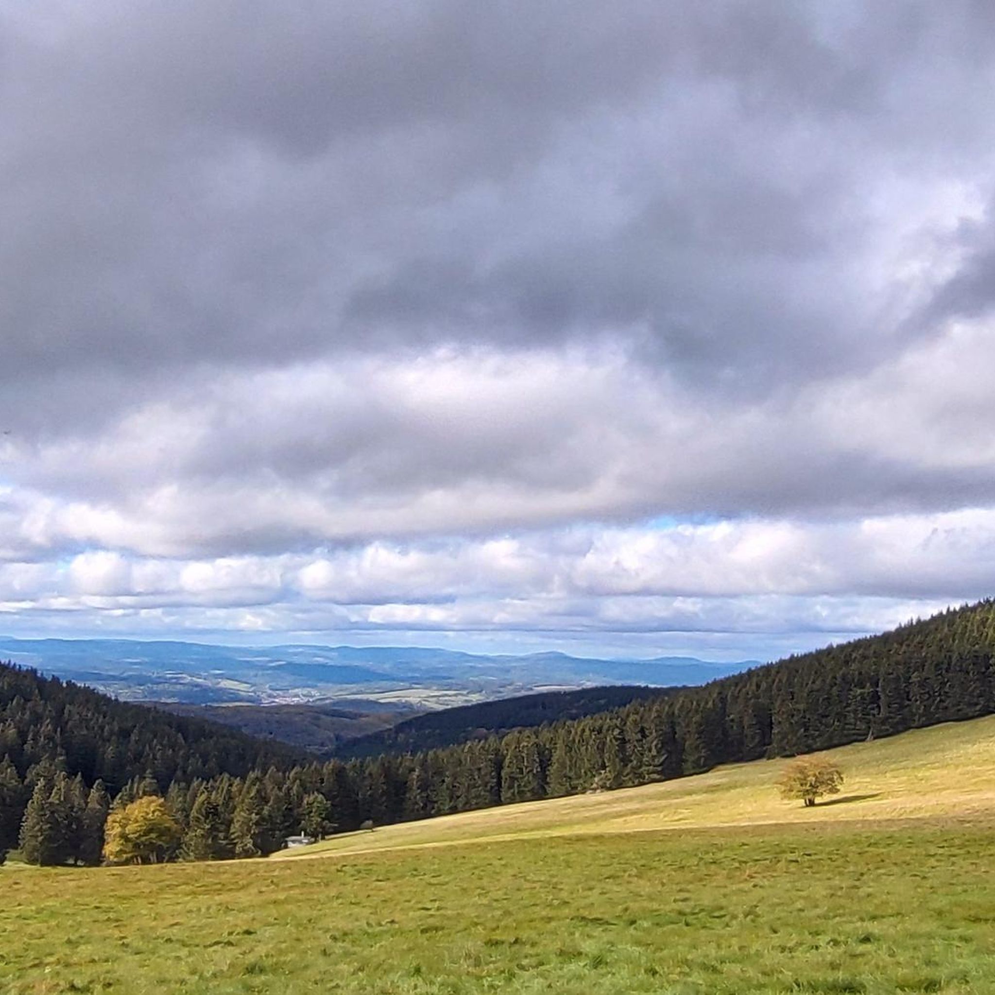
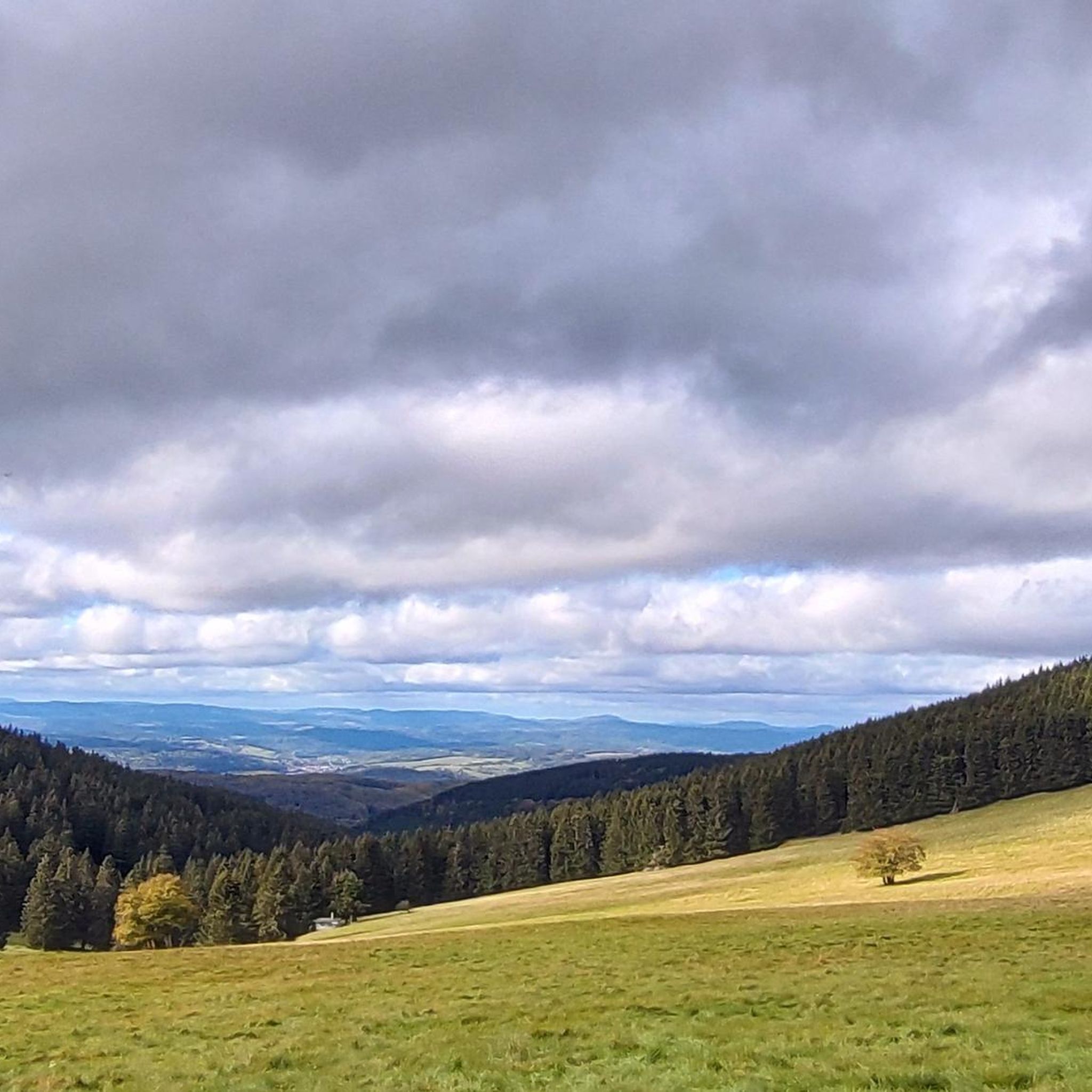
The Neuhöfer Wiese (approx. 850 m above sea level) is idyllically located just about 300 meters south of the Rennsteig between the Sperrhügel and the Wachsenrasen. It offers a fantastic view into the Rhön.
1
0

Wonderful place🤩 easily reachable on the three huts tour .
0
0

Sometimes you just don't need shelter and you just walk past. But it's good that these huts exist. That's important.
0
0
Really beautiful... right next to the mountain rescue service.
1
0
Frequently Asked Questions
How many hiking trails are available around Rotterode?
Rotterode offers a diverse network of over 20 hiking trails, catering to various skill levels. You'll find a mix of easy strolls and more moderate treks through the Thuringian Forest.
What kind of terrain can I expect on the hiking trails in Rotterode?
The trails around Rotterode are characterized by lush mountain forests, clear stream valleys like the Moosbach Valley, and elevated viewpoints. You can expect varied terrain with elevation changes, typical of the Thuringian Forest, a UNESCO biosphere reserve.
Are there any easy hiking trails suitable for families or casual walkers?
Yes, Rotterode has several easy trails. For a shorter, scenic option, consider the View of Rotterode – Rotteröder Heights loop from Rotterode. This 2.1-mile (3.3 km) path offers pleasant views from the Rotteröder Heights and can be completed in under an hour.
What are some notable natural features or landmarks to look out for while hiking?
The region is rich in natural beauty. You can explore the serene Moosbach Valley, find refreshment at the Veilchenbrunnen fountain, or visit the Ebertswiese Mountain Meadow, known for its flora and a nearby mountain lake. For panoramic views, the Rotteröder Höhe is a great spot, offering sights of the Dolmar mountain.
Are there any circular hiking routes in the Rotterode area?
Yes, many trails in Rotterode are designed as loops. A popular moderate option is the Silberwiese Barbecue Area – Moosbach Stream loop from Steinbach-Hallenberg, which is 9.0 miles (14.5 km) long. For a shorter, easy loop, try the View from the Rotteröder Höhe – Koppenstein Climbing Rock loop from Rotterode.
What do other hikers enjoy most about the trails in Rotterode?
The hiking trails in Rotterode are highly rated by the komoot community, with an average score of 4.6 stars from over 2,400 reviews. Hikers often praise the quiet woodlands, the clear streams, and the well-maintained paths that offer a refreshing escape into nature.
Are there any historical sites or castles accessible from Rotterode's hiking trails?
While Rotterode itself is nestled in nature, the broader region offers historical attractions. You can find nearby castles such as Wilhelmsburg Castle or the Hallenburg Castle Ruins, which can be combined with a hike or visited separately.
Is there parking available near the trailheads in Rotterode?
Yes, Rotterode is well-equipped for hikers, and you'll find various parking options available near the starting points of many trails, making it convenient to access the hiking network.
Can I find places to rest or have a picnic along the trails?
Absolutely. The region features numerous huts and shelters for hikers to take a break. The View from the Rotteröder Höhe – Silberwiese Barbecue Area loop from Rotterode, for instance, leads to the exceptionally beautiful Silberwiese Barbecue Area, which has ample seating and stunning views, perfect for a picnic.
What is the best season to go hiking in Rotterode?
Rotterode offers beautiful hiking experiences throughout the year. Spring and summer bring vibrant flowering meadows and lush green forests, while autumn transforms the landscape with colorful foliage. Even in winter, the area is popular for cross-country skiing on groomed trails, offering a different kind of outdoor experience.
Are there any challenging hikes for experienced trekkers?
While Rotterode primarily features easy to moderate trails, the region's proximity to the Rennsteig, a historic ridgeway trail, allows for longer and more challenging sections. The View from the Rotteröder Höhe – Jahn Hut loop from Rotterode is a moderate 5.2-mile (8.3 km) trail that provides a good workout through the Thuringian Forest.
Are the hiking trails in Rotterode dog-friendly?
Many trails in the Thuringian Forest around Rotterode are suitable for dogs, provided they are kept on a leash, especially in nature reserve areas. It's always a good idea to check specific trail regulations or local signage for any restrictions.
Most popular attractions around Rotterode

Get inspired with the komoot mobile app


Explore more
Browse the best Hikes in other regions.
