The best walks and hikes around Fontanafredda
4.4
(2292)
9,560
hikers
693
hikes
Hiking around Fontanafredda offers a network of trails through the flatlands of Friuli-Venezia Giulia, characterized by agricultural fields, riverine landscapes, and small towns. The region provides accessible paths with minimal elevation changes, making it suitable for various activity levels. These routes often connect historical sites or pass through local villages, providing a blend of natural and cultural exploration. Many easy hikes Fontanafredda can be found, allowing for relaxed walks.
Best hiking trails around Fontanafredda
- The most popular hiking route is…
Last updated: July 5, 2026
4.3
(7)
31
hikers
7.30km
02:09
210m
210m
Moderate hike. Good fitness required. Easily-accessible paths. Suitable for all skill levels.
4.0
(1)
25
hikers
7.13km
01:48
10m
10m
Easy hike. Great for any fitness level. Easily-accessible paths. Suitable for all skill levels.

Sign up for free
5.0
(2)
9
hikers
Easy hike. Great for any fitness level. Easily-accessible paths. Suitable for all skill levels.
7
hikers
9.78km
02:29
20m
20m
Moderate hike. Good fitness required. Easily-accessible paths. Suitable for all skill levels.
6
hikers
Easy hike. Great for any fitness level. Easily-accessible paths. Suitable for all skill levels.
Get access to more routes and recommendations from other explorers.
Sign up for free
Already have an account?
Our route recommendations are based on thousands of hikes, rides, and runs completed by other people on komoot.
Start today with a free account
Your next adventure awaits.
Login or Signup
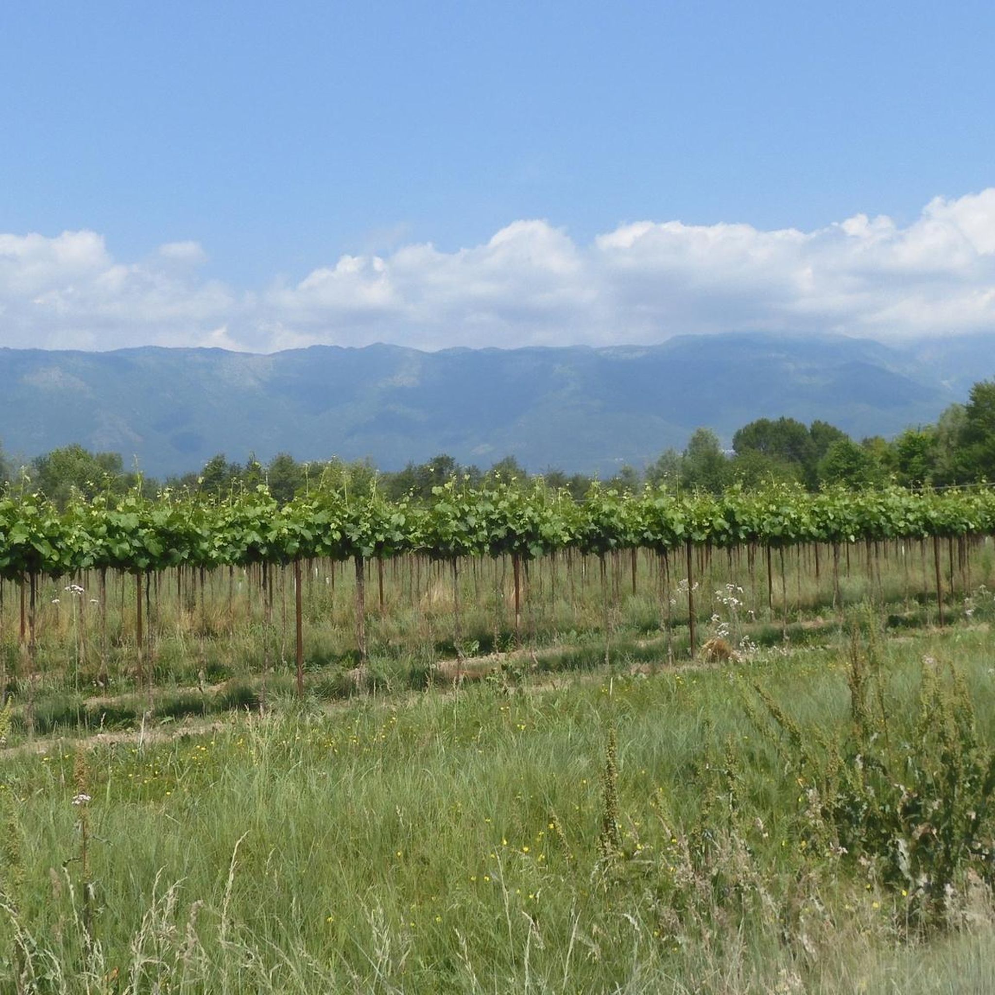
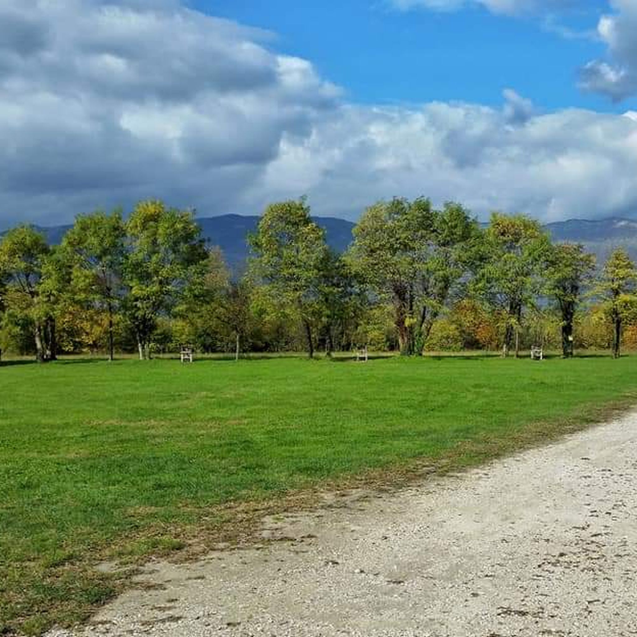

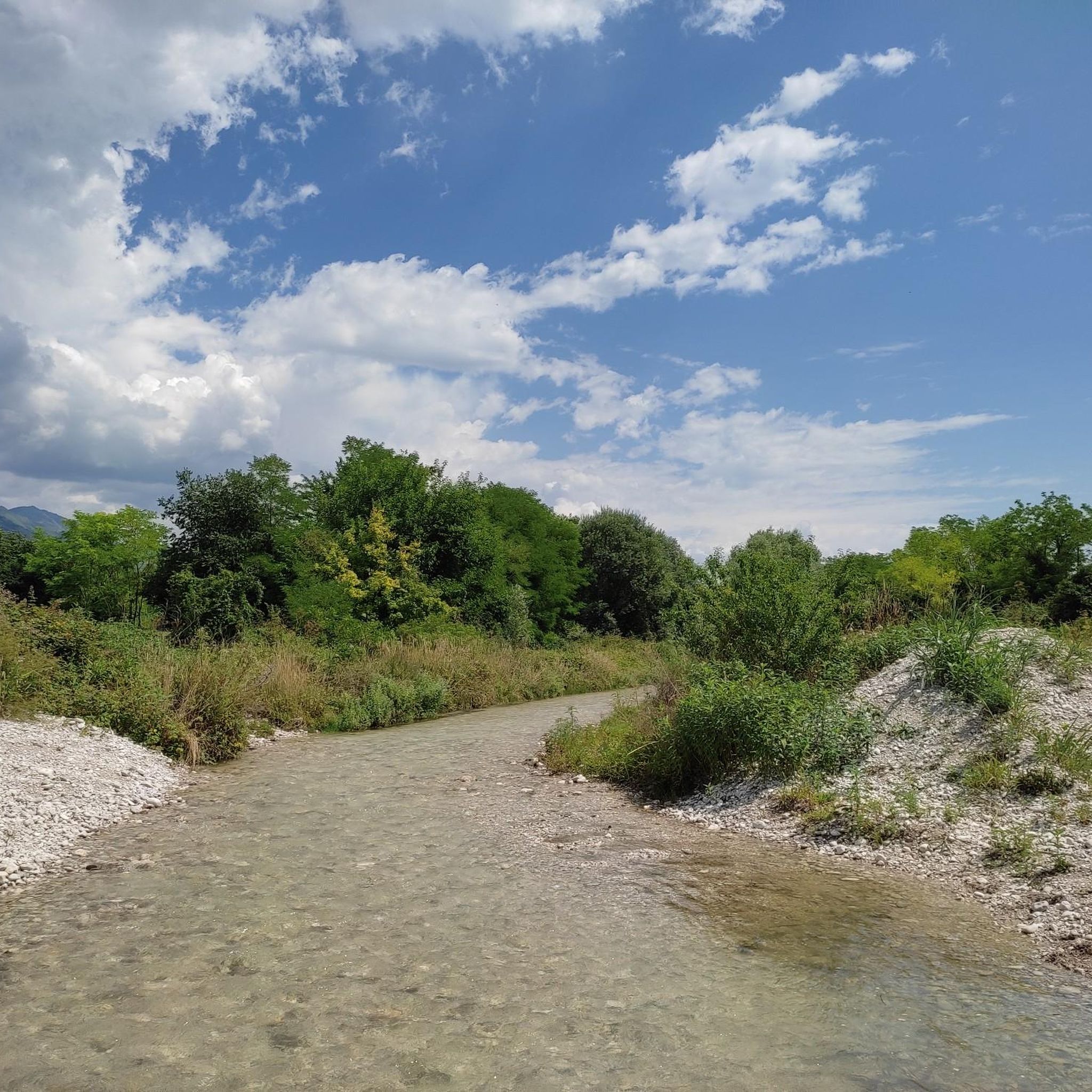
Tips from the Community


Nice gravel path south of San Giovanni Plcenigo
0
0
Votive shrine in memory of the person who participated in the World War 15/18 conflict
0
0

A votive shrine near Castel d'Aviano. Erected to untie the knot of a soldier who had been maimed in battle.
1
0
Nice stretch on gravel approaching the long climb towards the Col dei S'cios.
0
0
As I write this, the medieval day is underway at Caneva Castle. The area near the castle hosts food and wine stands. When I arrive by e-bike, preparations for the festival are in full swing.
0
0
The eleventh-century church of Santa Lucia, together with the bell tower and the walls, is what remains of the Caneva castle.
0
0
Frequently Asked Questions
How many hiking trails are available around Fontanafredda?
Fontanafredda offers a wide selection of routes, with over 600 hiking trails to explore. These range from easy strolls through agricultural fields to more challenging long-distance paths.
Are there easy or beginner-friendly hiking trails in Fontanafredda?
Yes, Fontanafredda is well-suited for beginners and those seeking easy walks. There are over 250 easy routes, characterized by minimal elevation changes and paths through flatlands, riverine areas, and local towns. An example is the Roveredo in Piano Cycle Path – Bare Tree Stump loop from Roveredo in Piano, which is an easy 3.6-mile (5.8 km) hike.
Can I find family-friendly walks in the Fontanafredda area?
Absolutely. The region's flat agricultural paths and riverside trails make it ideal for family-friendly walks. Many routes connect local towns, offering a blend of natural and cultural exploration suitable for all ages.
Are dogs allowed on the hiking trails around Fontanafredda?
Generally, dogs are welcome on most hiking trails in the Fontanafredda area, especially on the open agricultural paths and riverside routes. However, it's always advisable to keep them on a leash, particularly near farmlands or in populated areas, and to check local regulations for specific nature reserves if applicable.
What kind of attractions or landmarks can I see while hiking near Fontanafredda?
Hiking around Fontanafredda often leads you through areas rich in natural beauty and historical sites. You might encounter riverine landscapes, small towns, and agricultural fields. For specific points of interest, consider exploring highlights like the Gorgazzo Spring or the Austrian World War I Bunkers.
Are there any waterfalls to visit on hikes in Fontanafredda?
Yes, the region features some beautiful water features. You can find highlights such as the Waterfall on the Meschio River or the scenic Forra Cunaz, which offers a gorge experience. These can be integrated into your hiking plans for a refreshing stop.
What is the best season for hiking in Fontanafredda?
The best seasons for hiking in Fontanafredda are typically spring and autumn, when the weather is mild and the landscapes are vibrant. Summer can also be pleasant, especially for early morning or late afternoon walks, though it can get warm. Winter offers a different charm, with crisp air, but some paths might be muddy.
Are there circular walks available in Fontanafredda?
Yes, many of the trails around Fontanafredda are designed as circular routes, allowing you to start and end at the same point. An example is the Caneva Castle – View of Col de Fer loop from Fiaschetti, a moderate 4.5-mile (7.3 km) path that offers views towards Col de Fer and includes the historic Caneva Castle.
How long do hikes typically take near Fontanafredda?
Hike durations vary significantly depending on the route and your pace. Shorter, easy walks like the Sacile loop from Sacile can be completed in about 1 hour 25 minutes for its 3.5 miles (5.6 km). Longer routes, such as the difficult Saint Anthony's Way - Stage 05G, can take around 6 hours for its 14.4 miles (23.2 km).
Where can I find parking for hiking trails in Fontanafredda?
Parking is generally available in or near the towns and villages that serve as starting points for many trails. Look for designated parking areas in town centers or near popular trailheads. As many routes connect local towns, street parking might also be an option, but always check local signage.
Are there cafes or pubs near the hiking routes in Fontanafredda?
Yes, as many routes pass through or connect local towns and villages, you'll often find opportunities to stop at cafes, trattorias, or pubs. These establishments offer a chance to refuel and experience local hospitality, especially in places like Sacile, which features the Historic Center of Sacile – Sacile loop from San Giovanni del Tempio.
What do other hikers say about the trails in Fontanafredda?
The hiking trails in Fontanafredda are highly regarded by the komoot community, holding an average rating of 4.4 stars from over 2,000 reviews. Hikers often praise the accessibility of the paths, the blend of natural and cultural sights, and the peaceful atmosphere of the Friuli-Venezia Giulia flatlands.
Most popular routes around Fontanafredda
Most popular attractions around Fontanafredda

Get inspired with the komoot mobile app


Explore more
Browse the best Hikes in other regions.
