The best walks and hikes around Zuglio
4.4
(1197)
4,806
hikers
17
hikes
Hiking around Zuglio offers access to the diverse landscapes of Italy's Carnia region, characterized by the majestic Carnic Alps and the significant Degano Valley. The area features a network of trails that traverse varied terrain, including mountain paths and routes across multiple mountain tops. Hikers can expect a range of conditions, from normal mountain roads to sections involving scrambling or via ferrata.
Best hiking trails around Zuglio
- The most popular hiking route is Malga – Malga Dauda loop from Arta…
Last updated: October 8, 2026
4.5
(57)
253
hikers
13.3km
04:57
840m
840m
Moderate hike. Good fitness required. Mostly accessible paths. Sure-footedness required.
4.7
(17)
78
hikers
8.49km
03:11
580m
590m
Moderate hike. Good fitness required. Easily-accessible paths. Suitable for all skill levels.

5.0
(2)
18
hikers
5.68km
01:59
310m
310m
Moderate hike. Good fitness required. Easily-accessible paths. Suitable for all skill levels.
5.0
(4)
14
hikers
11.2km
04:19
680m
680m
Hard hike. Good fitness required. Sure-footedness, sturdy shoes and alpine experience required.
4.0
(5)
13
hikers
20.0km
07:10
1,110m
1,110m
Hard hike. Very good fitness required. Mostly accessible paths. Sure-footedness required.
Get access to more routes and recommendations from other explorers.
Already have an account?
Our route recommendations are based on thousands of hikes, rides, and runs completed by other people on komoot.
Start today with a free account
Your next adventure awaits.

Tips from the Community

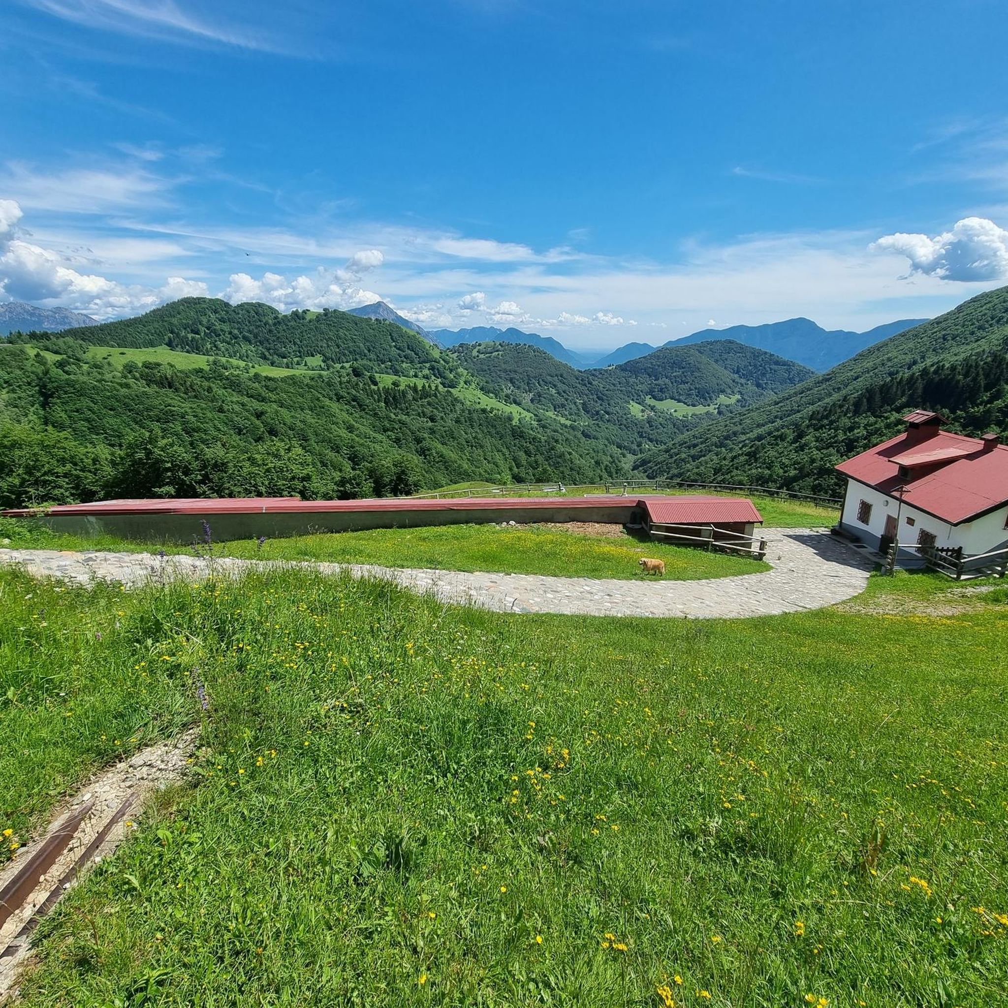
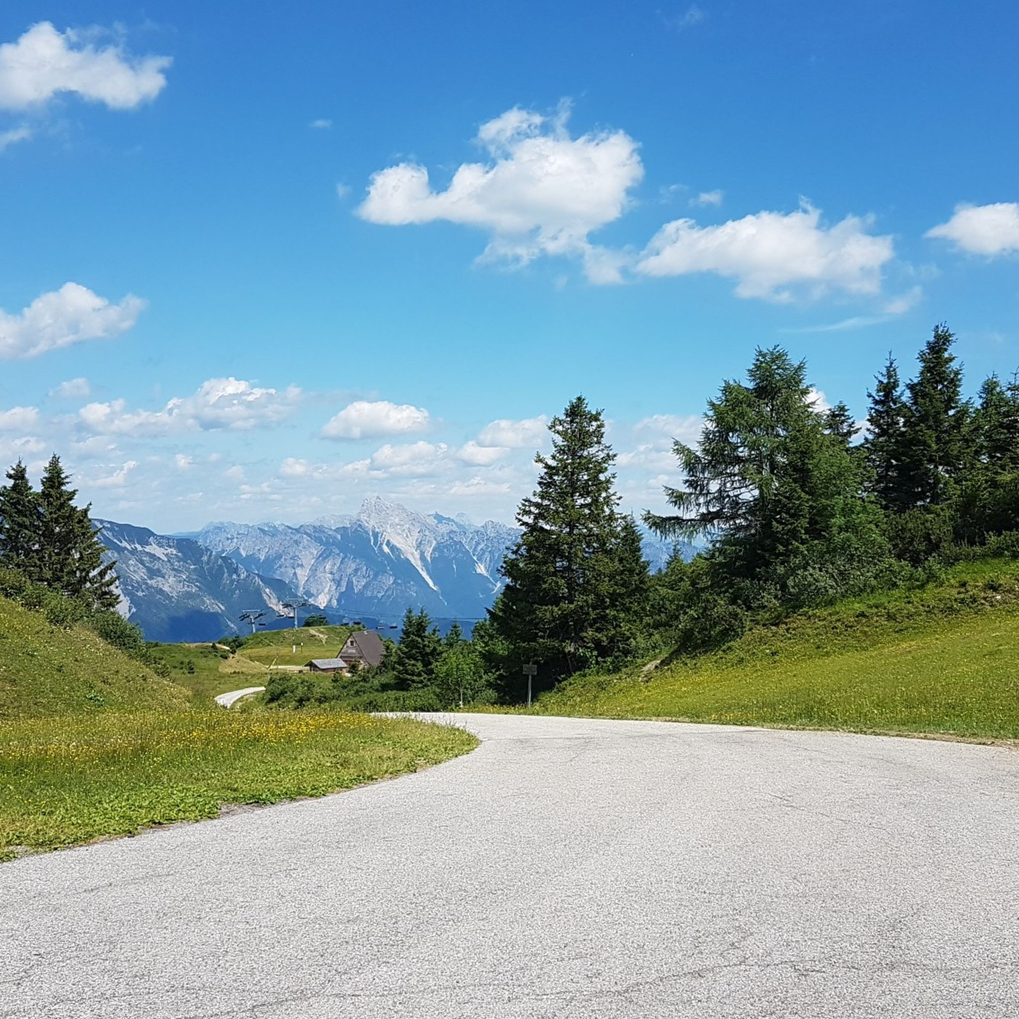
Gravel road without technical difficulties, it passes by various mountain huts.
0
0

A great route for cyclists and hikers with a forest road and mountain road character. The ground is mostly rocky, concreted in exposed sections. For breaks, the partially managed mountain huts located directly on the route are suitable.
0
0
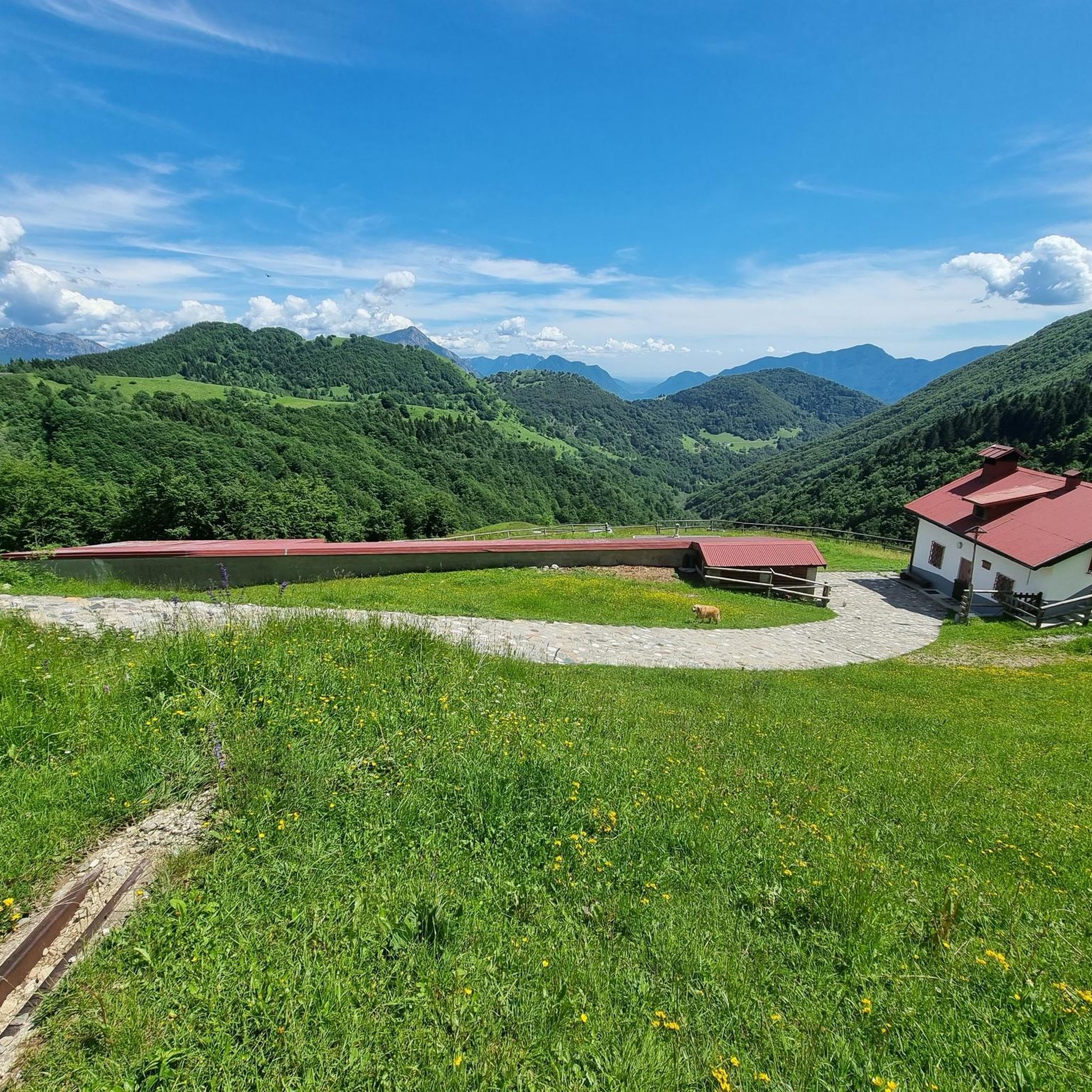
The ascent initially takes place on asphalt and then turns into a wider hiking trail. Rocky terrain begins there. The exposed curves and switchbacks are concreted and banked, similar to berms. The trail leads through the shady forest. The ascent is rewarded with the resting area at "Malga Dauda", which is a nice mountain hut with catering and very friendly hosts.
0
0
The "Malga Dauda" is a nice mountain hut with catering along the route. Definitely suitable for a short break with very friendly hosts.
0
0
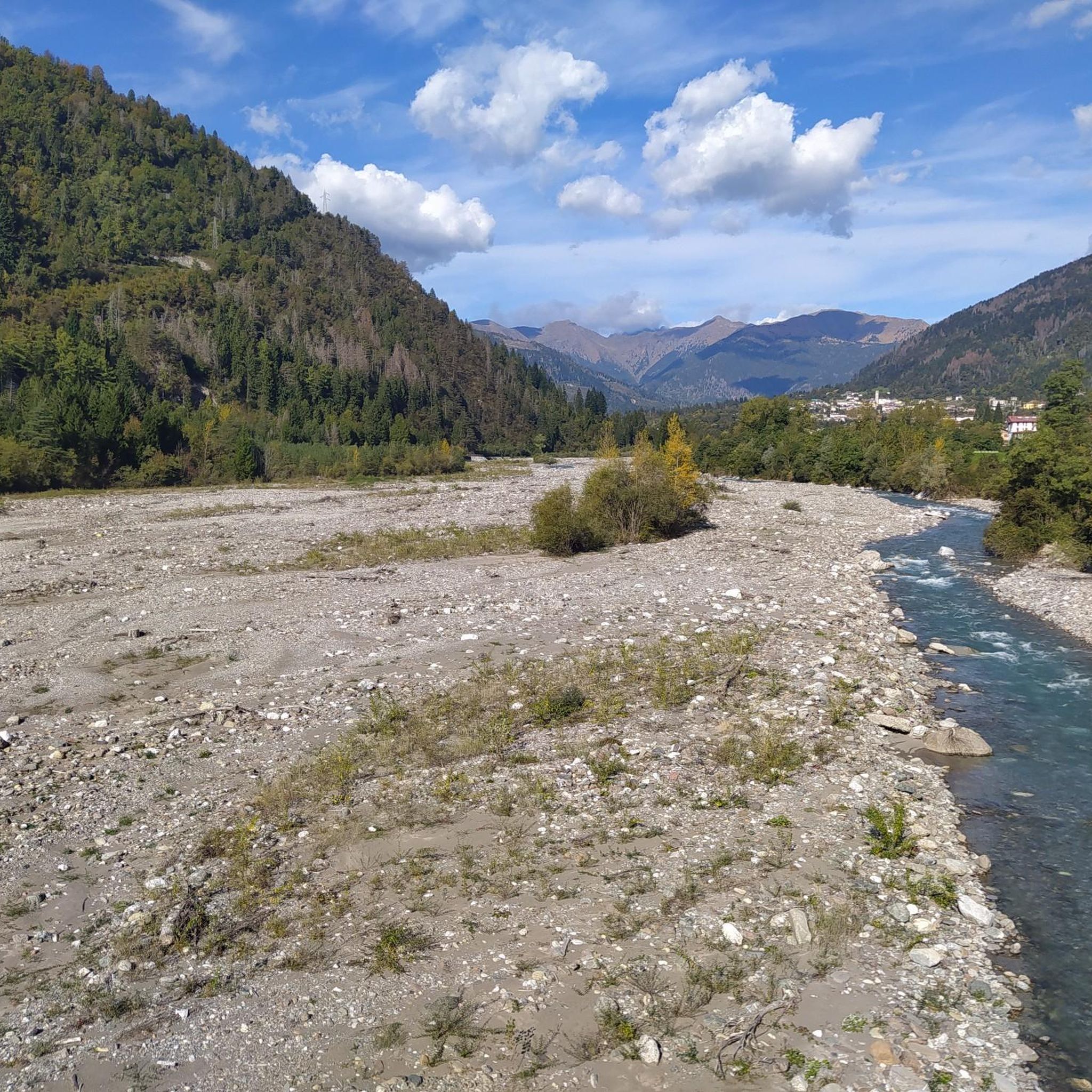
The church is visible from the valley. It's even better to see it on the descent from above and at eye level.
0
0
Frequently Asked Questions
How many hiking trails are available around Zuglio?
There are over 18 hiking trails around Zuglio, offering a variety of experiences. These include 5 easy routes, 9 moderate routes, and 4 more difficult trails, catering to different skill levels.
What kind of terrain can I expect on Zuglio's hiking trails?
The hiking trails around Zuglio wind through diverse landscapes, including the majestic Carnic Alps and the Degano Valley. You can expect varied terrain, from normal mountain roads to more challenging sections involving scrambling or via ferrata, especially on higher mountain paths.
What do other hikers enjoy most about the trails in Zuglio?
The trails in Zuglio are highly rated by the komoot community, with an average score of 4.5 stars from over 1000 reviews. Hikers often praise the breathtaking landscapes, pristine nature, and the variety of mountain trails that offer stunning panoramic views.
Are there family-friendly hiking options in Zuglio?
Yes, Zuglio offers several easy hiking routes suitable for families. For example, the Church With Green Tile Roof – Chiesa di San Pietro di Carnia loop from Zuglio / Zui is an easy 3.5-mile (5.7 km) trail that takes about 1 hour 45 minutes to complete.
Are dogs allowed on hiking trails around Zuglio?
Generally, dogs are welcome on hiking trails in the Zuglio region, especially in the natural outdoor environment. However, it's always advisable to keep them on a leash, especially in areas with wildlife or near livestock, and to check for any specific local regulations or protected areas that might have restrictions.
Are there circular hiking routes available in Zuglio?
Yes, many trails around Zuglio are designed as circular routes, allowing you to start and end at the same point. Examples include the Malga – Malga Dauda loop from Arta Terme / Darte and the Chiesa di San Pietro di Carnia loop from Zuglio / Zui.
Are there any natural attractions or landmarks to see while hiking near Zuglio?
Absolutely. The region boasts several natural highlights. You can encounter the magnificent Degano Valley, or explore peaks like Amarianute Peak. There are also beautiful waterfalls such as Plera Waterfall and Salino Waterfall, and the Laghetto di Villa Santina.
Can I explore historical sites or cultural attractions on hikes around Zuglio?
Yes, Zuglio offers cultural routes that wind through its historic center, allowing hikers to discover ancient architecture. The archaeological site of Iulium Carnicum, a Roman city, and the Civic Archaeological Museum in Zuglio provide a glimpse into the region's ancient past, combining cultural exploration with nature walks.
What is the best time of year to go hiking in Zuglio?
The best time for hiking in Zuglio is generally from late spring to early autumn (May to October), when the weather is mild and the mountain trails are most accessible. During these months, you can fully appreciate the diverse landscapes and panoramic views. Winter hiking is possible, but some higher trails may require specialized equipment due to snow and ice.
Is parking available near the hiking trailheads in Zuglio?
Yes, parking is generally available near popular trailheads and in the villages surrounding Zuglio, such as Arta Terme. Specific parking information can often be found on detailed route descriptions or local tourist information boards.
How can I reach hiking trails in Zuglio using public transport?
While some villages like Zuglio and Arta Terme are served by local bus routes, direct public transport to all remote trailheads might be limited. It's recommended to check local bus schedules for connections to the starting points of your chosen hikes. For more flexibility, driving to the trailheads is often the most convenient option.
Are there any challenging hikes for experienced hikers in Zuglio?
Yes, Zuglio offers several difficult routes for experienced hikers. These trails often feature significant elevation gain and varied terrain, including sections that may involve scrambling or via ferrata. An example is the Dolacis di Sora Ruins – Monte Dauda loop from Forchie Navantes, which is rated as difficult.
Most popular attractions around Zuglio

Get inspired with the komoot mobile app


Explore more
Browse the best Hikes in other regions.
