The best running trails around Mortegliano
4.1
(41)
2,888
runners
16
runs
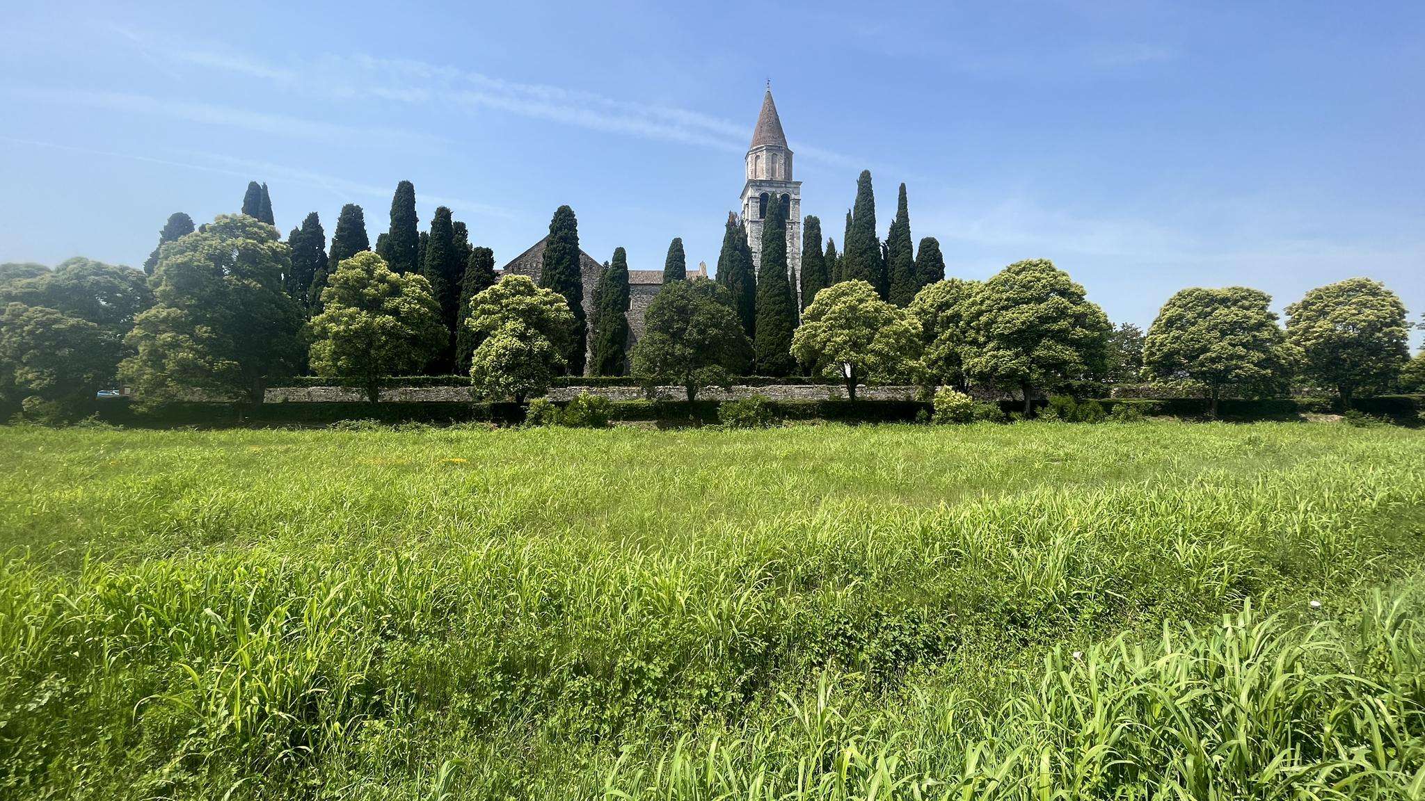
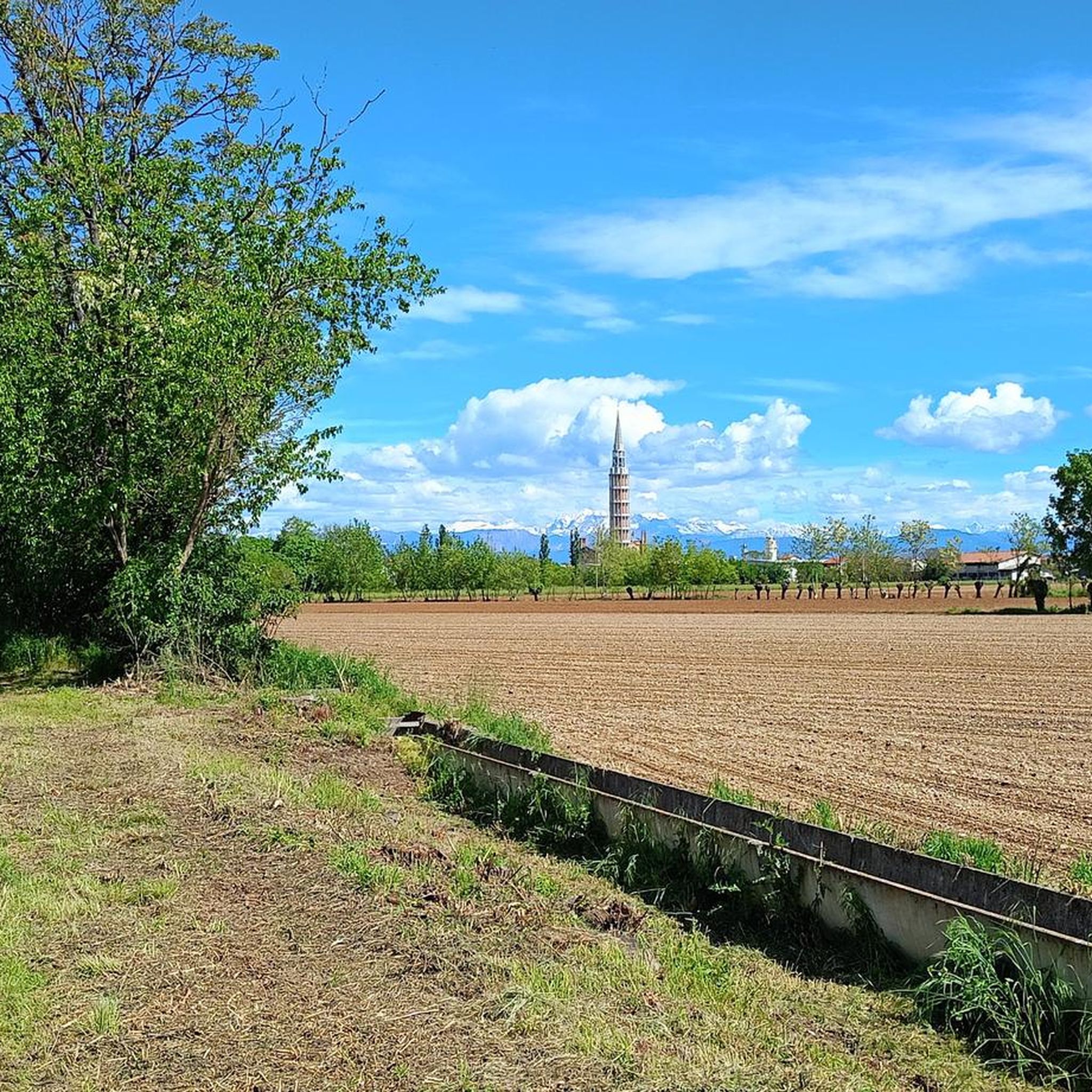
Jogging routes around Mortegliano traverse a picturesque countryside, offering tranquil runs through rural areas and maize fields. The region is characterized by the presence of the Cormor Stream, which many running routes follow, providing scenic views. Additionally, wooded areas offer varied terrain and shaded paths for runners. These landscapes combine to create diverse options for outdoor activities.
Best jogging routes around Mortegliano
- The most popular jogging route is Running loop from Mortegliano / Mortean, a 6.1 miles (9.8 km)…
Last updated: August 28, 2026
8
runners
9.82km
01:01
20m
20m
Moderate run. Good fitness required. Mostly paved surfaces. Suitable for all skill levels.
4
runners
12.8km
01:19
20m
20m
Moderate run. Good fitness required. Mostly paved surfaces. Suitable for all skill levels.

Sign up for free
4
runners
8.15km
00:50
20m
20m
Moderate run. Good fitness required. Mostly paved surfaces. Suitable for all skill levels.
6
runners
Easy run. Great for any fitness level. Mostly paved surfaces. Suitable for all skill levels.
4
runners
6.14km
00:38
10m
10m
Moderate run. Good fitness required. Mostly paved surfaces. Suitable for all skill levels.
Get access to more routes and recommendations from other explorers.
Sign up for free
Already have an account?
Our route recommendations are based on thousands of hikes, rides, and runs completed by other people on komoot.
Start today with a free account
Your next adventure awaits.
Login or Signup
Frequently Asked Questions
What kind of terrain can I expect on running routes around Mortegliano?
The running routes in Mortegliano offer a diverse landscape. You'll find tranquil paths through picturesque countryside and maize fields, often featuring a mix of asphalt and gravel roads. Many trails also follow the scenic Cormor Stream, and there are shaded paths through wooded areas, providing varied surfaces and environments for your run.
Are there any easy or beginner-friendly running routes in the Mortegliano area?
Yes, Mortegliano offers routes suitable for beginners. For example, the Running loop from Santa Maria di Sclaunicco / Sante Marie di Sclaunic is an easy 3.0-mile (4.8 km) trail that takes about 31 minutes to complete, leading through the local countryside with minimal elevation gain.
Can I find circular running routes in Mortegliano?
Absolutely. Many of the running routes around Mortegliano are designed as loops, allowing you to start and finish in the same location. Popular options include the Running loop from Mortegliano / Mortean and the Ex cava di ghiaia loop from Mortegliano / Mortean, both offering a complete circuit.
What are some scenic highlights or landmarks I might see while jogging in Mortegliano?
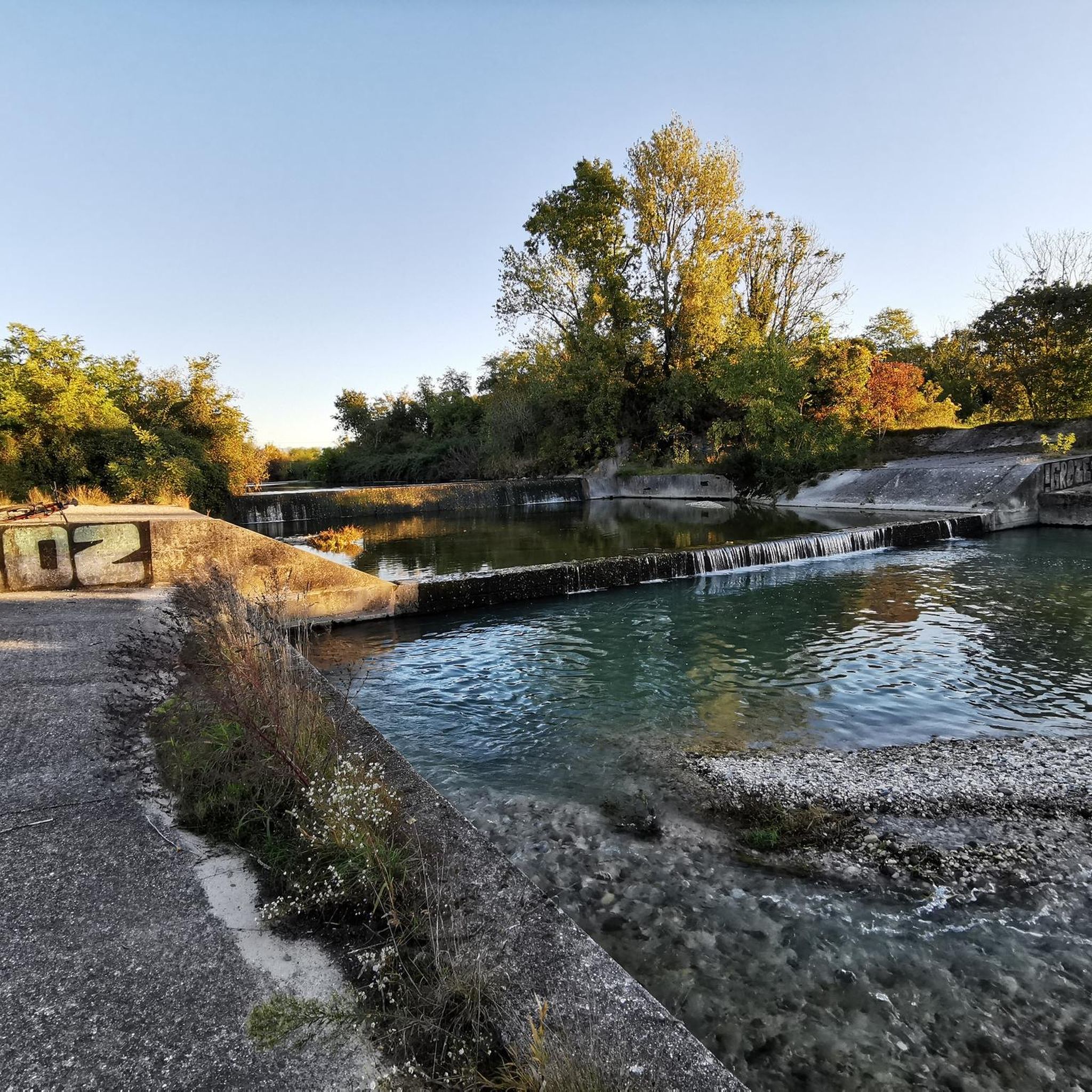
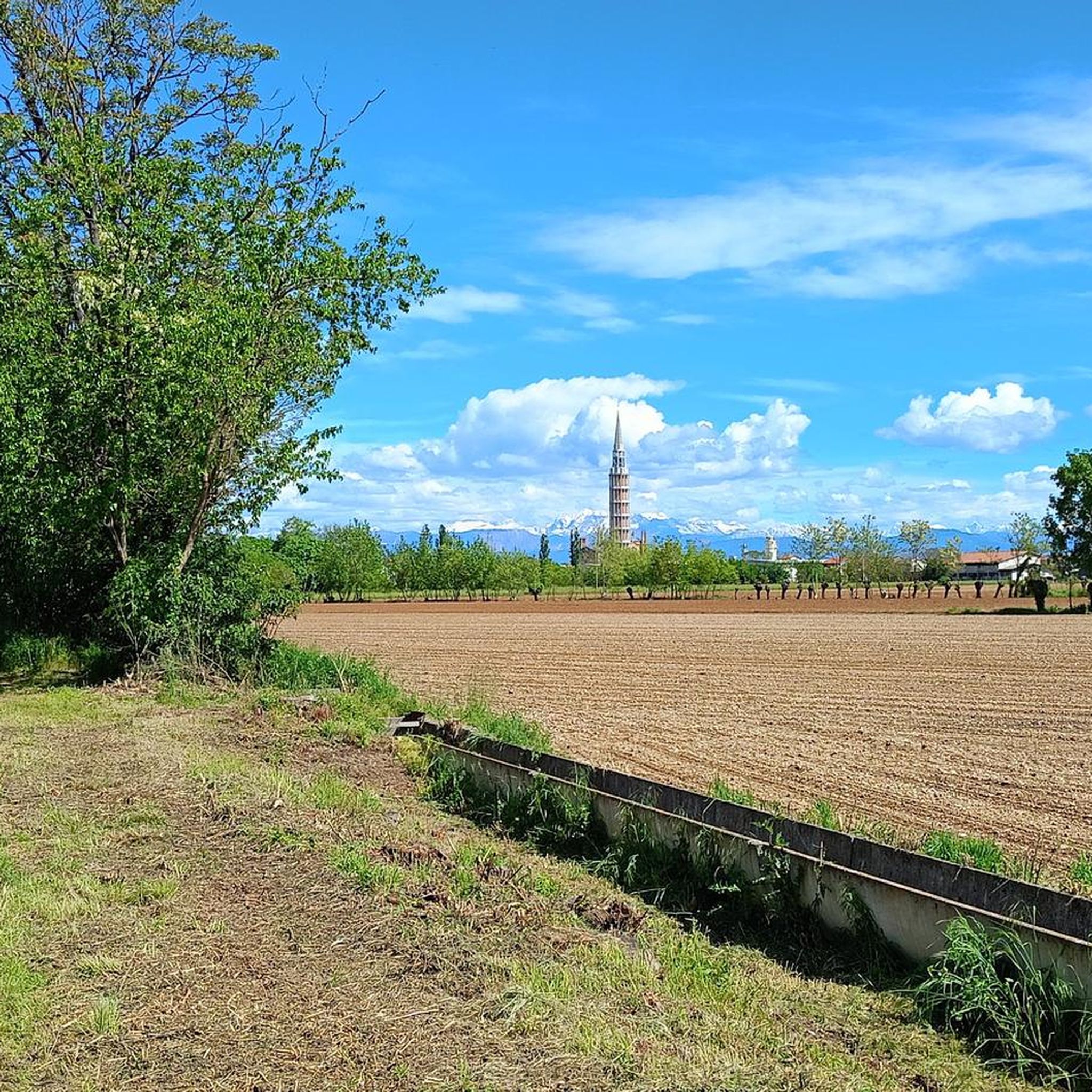
While running, you can enjoy views of the picturesque countryside and the Cormor Stream. A prominent landmark visible from various routes is the Mortegliano Bell Tower, Italy's highest free-standing bell tower. You might also pass by historic villas and churches. For specific natural sights, consider exploring highlights like the Waterfall on the Cormor River or the unique Flambro Biotope.
Are there any dog-friendly running trails in Mortegliano?
Many of the rural paths and trails through the countryside and along the Cormor Stream are suitable for running with dogs, provided they are kept under control. The natural environment offers plenty of space for both you and your canine companion to enjoy. Always ensure to follow local regulations regarding pets on trails.
What do other runners think about the trails in Mortegliano?
The running routes in Mortegliano are highly rated by the komoot community, with an average score of 4.4 stars from over 20 reviews. More than 2800 runners have used komoot to explore the varied terrain, often praising the tranquil rural paths and scenic sections along the Cormor Stream.
Are there any running routes that pass by historical sites or cultural attractions?
Yes, some routes, particularly those designed as wellness walks, weave through the Friulian countryside, passing by 18th-century noble villas and historic churches. Additionally, the nearby fortress-city of Palmanova, a UNESCO World Heritage site, offers unique paths around its bastions, such as the Lower Moat Path of the Palmanova Bastions, combining history with outdoor activity.
What is the best time of year to go jogging in Mortegliano?
Mortegliano offers good jogging conditions throughout much of the year. Spring and autumn provide pleasant temperatures and beautiful scenery with changing foliage. Summer can be warm, but shaded paths in wooded areas or early morning/late evening runs are enjoyable. Even in winter, the relatively flat terrain can be suitable for running, though conditions may vary.
How many running routes are available in the Mortegliano area on komoot?
Komoot features 14 running routes around Mortegliano, catering to various preferences. These include easy loops and moderate running trails, ensuring options for different ability levels.
Are there any unique natural features to explore while running near Mortegliano?
Beyond the Cormor Stream, Mortegliano is known for a wide marshy area below the 'Stradalta' with peculiar biotopes and resurgences. These unique hydrological features create a distinct ecosystem, offering an interesting natural backdrop for runs and opportunities for nature observation. The Flambro Biotope is an example of such a unique natural area.
Are there running routes with minimal elevation gain in Mortegliano?
Yes, many of the running routes in Mortegliano feature minimal elevation gain, making them ideal for those seeking flatter runs. The region's countryside and rural paths are generally level, providing a comfortable experience. For instance, the Running loop from Mortegliano / Mortean has only about 20 meters of elevation gain over 9.8 km.
Most popular routes around Mortegliano
Most popular attractions around Mortegliano

Get inspired with the komoot mobile app


Explore more
Browse the best Running Trails & Routes in other regions.
