The best road cycling routes around Cimolais
4.5
(107)
3,814
riders
52
rides
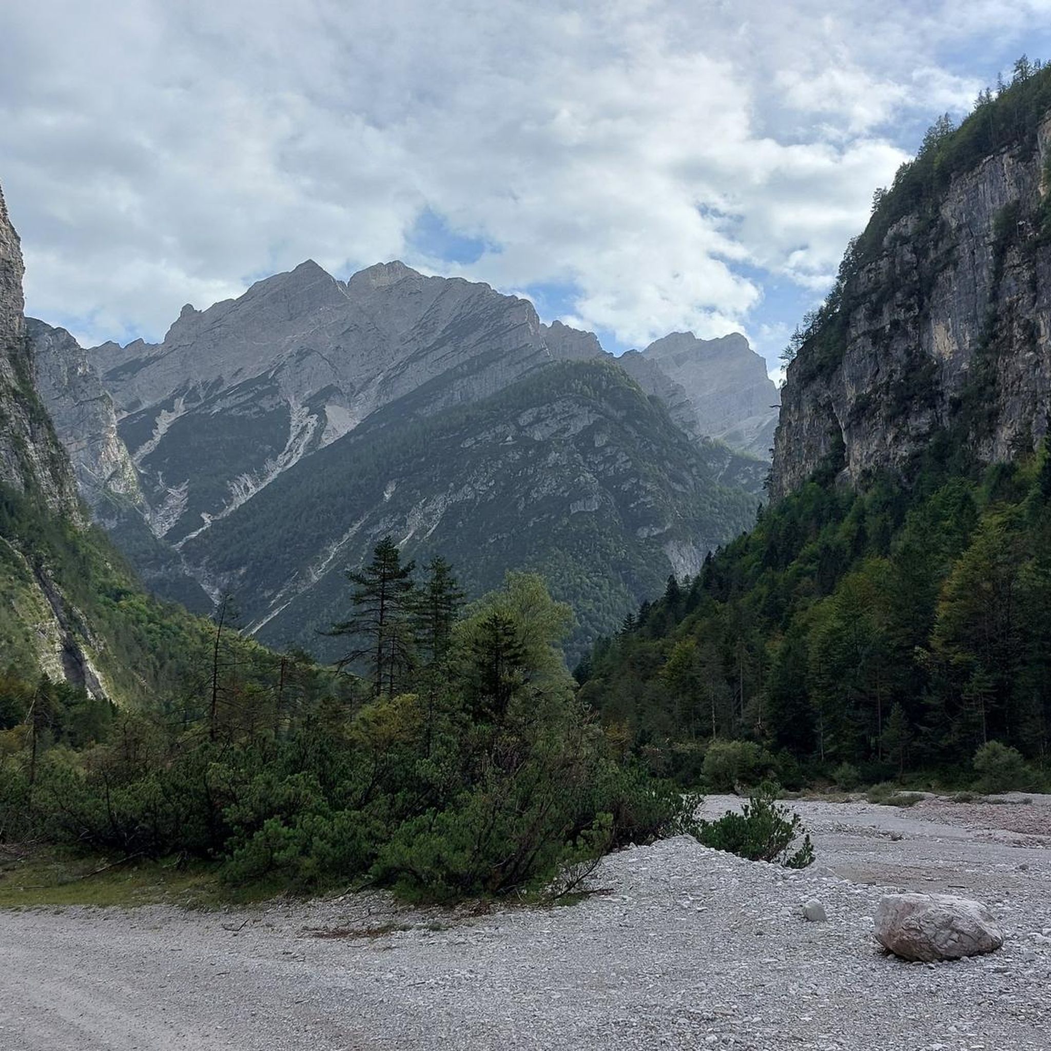
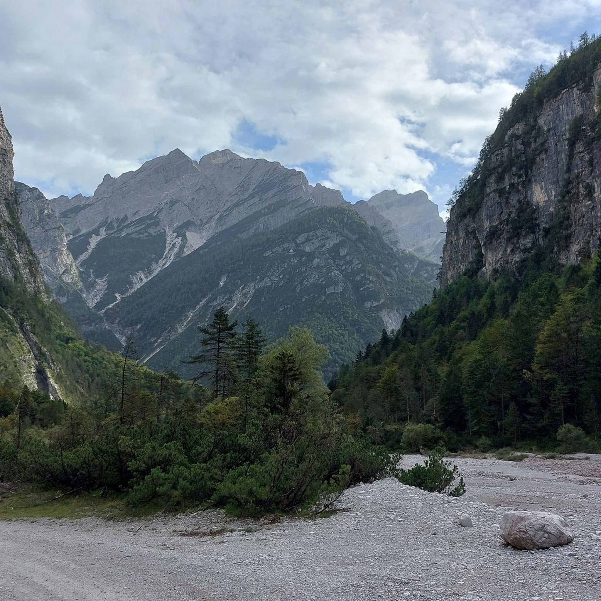
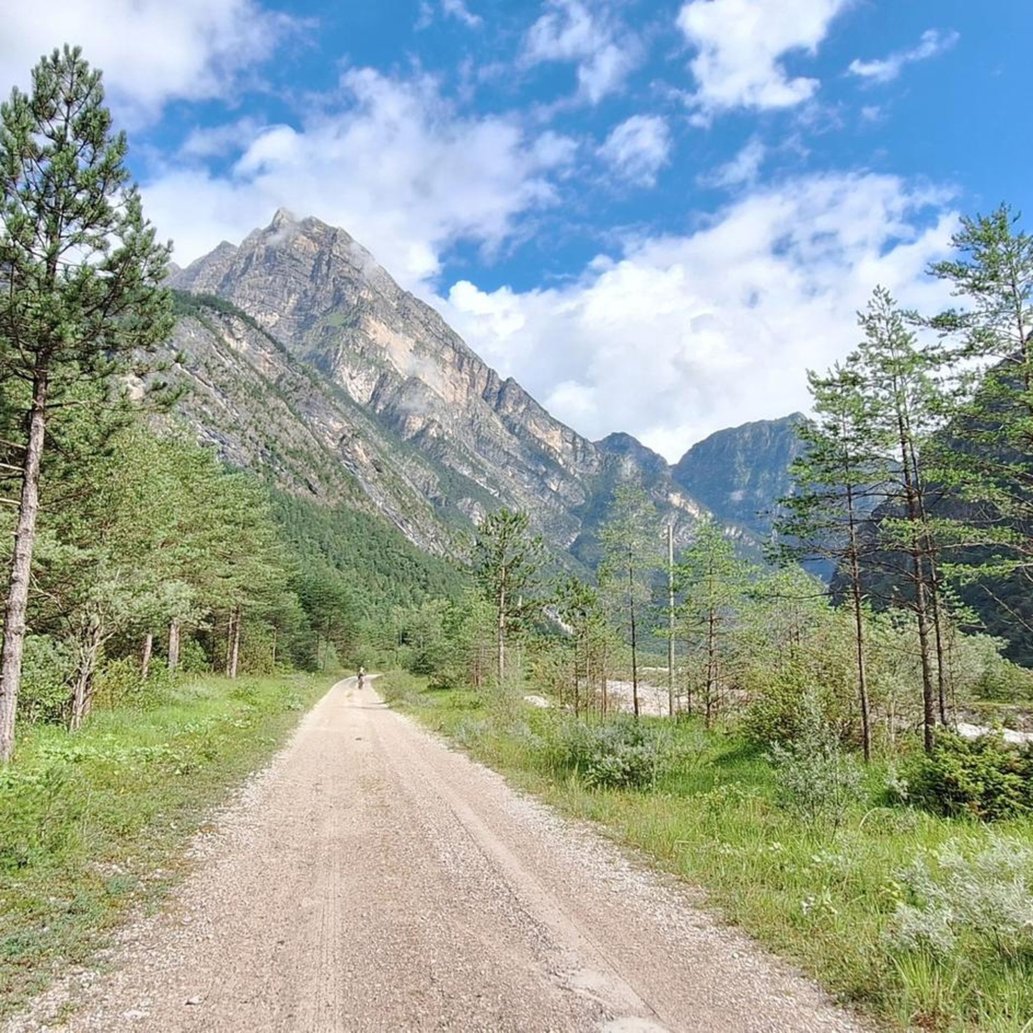
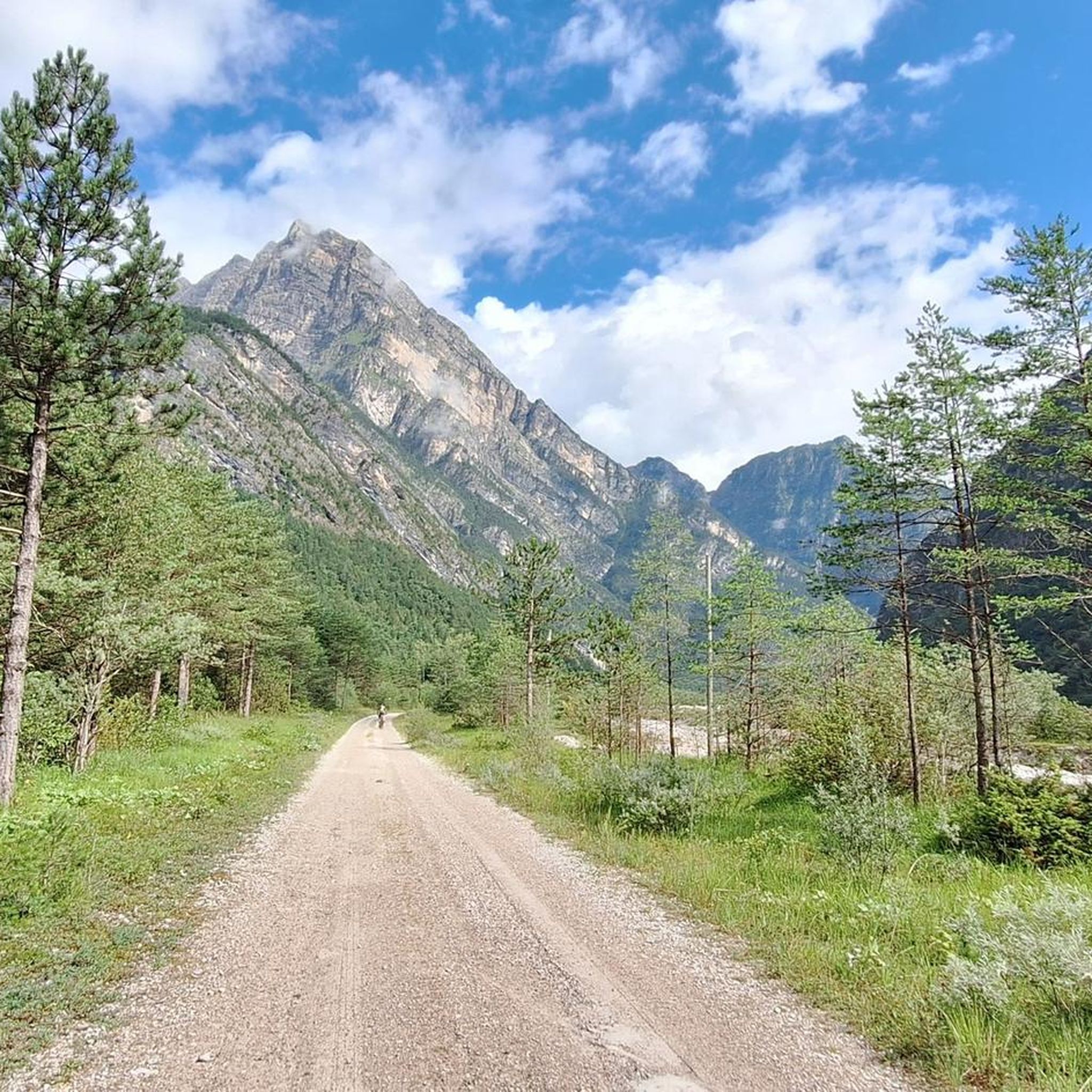
Road cycling around Cimolais is defined by its location within the Dolomiti Friulane Natural Park, a UNESCO World Heritage site. The region features dramatic Dolomite peaks and is characterized by the captivating Cimoliana Valley, situated at 652 meters above sea level. Cyclists encounter imposing Dolomite cliffs, valleys carved by wild streams, and extensive wooded areas.
Best road cycling routes around Cimolais
- The most popular road cycling route is Lake Barcis – Cellina Bridge loop from Claut / Cjolt, a 66.7 miles (107.3 km) trail that takes 5 hours 48 minutes to complete. This difficult route features significant elevation gain through mountain passes.
- Another top favourite among local road cyclists is Lake Barcis – Footbridge over Lake Barcis loop from Erto e Casso, a difficult 38.3 miles (61.6 km) path. This route offers views of Lake Barcis and the surrounding Dolomite landscape.
- Local road cyclists also love the Footbridge over Lake Barcis – Pian di Cansiglio loop from Erto e Casso, a 78.4 miles (126.1 km) trail leading through varied terrain, often completed in about 6 hours 32 minutes.
- Road cycling around Cimolais is defined by dramatic Dolomite peaks, the pristine Cimoliana Valley, and extensive wooded areas. The network offers options for different ability levels, from challenging ascents to routes through valleys.
- The routes in Cimolais are highly rated by the komoot community with an average score of 4.7 stars from over 70 reviews. More than 3,200 road cyclists have used komoot to explore Cimolais's varied terrain.
Last updated: October 9, 2026
4.8
(6)
97
riders
67.7km
03:33
1,090m
1,090m
Hard road ride. Very good fitness required. Mostly well-paved surfaces and easy to ride.
5.0
(1)
63
riders
Hard road ride. Very good fitness required. Mostly well-paved surfaces and easy to ride.

34
riders
154km
09:06
3,720m
3,720m
Hard road ride. Very good fitness required. Mostly well-paved surfaces and easy to ride.
38
riders
91.8km
04:31
1,340m
1,340m
Hard road ride. Very good fitness required. Mostly well-paved surfaces and easy to ride.
5.0
(1)
38
riders
Moderate road ride. Good fitness required. Mostly well-paved surfaces and easy to ride.
Get access to more routes and recommendations from other explorers.
Already have an account?
Our route recommendations are based on thousands of hikes, rides, and runs completed by other people on komoot.
Start today with a free account
Your next adventure awaits.



Other adventures around Cimolais

Tips from the Community

El Passo Tre Croci is a mountain pass located in the Dolomites, at an altitude of approximately 1,809 meters, on the road connecting Cortina d'Ampezzo with Misurina. It is one of the most scenic passes in the area and an important starting point for numerous hiking routes.
1
0


Lake Aprilis, better known as Lake Barcis, is an artificial basin created in 1954 by damming the Cellina stream near the Ponte Antoi gorge. Its characteristic brilliant green color is due to the combination of sunlight with minerals and calcareous sediments carried by the waters. The presence of dense beech and fir forests along the banks accentuates the emerald green tones.
1
0

Lorenzago di Cadore is a charming mountain village in the province of Belluno, nestled in the Eastern Dolomites and surrounded by dense fir forests. Located at about 880 meters above sea level on a sunny plateau overlooking the Tagliamento valley, the town boasts an ancient history and a strong connection to the traditions of Cadore. It is internationally famous for being the favorite summer holiday destination of Pope John Paul II and later Pope Benedict XVI, who were won over by the tranquility of its landscapes and the beauty of its natural trails. Lorenzago offers a breathtaking view of the Cridola group and the Mauria pass, representing an ideal destination for those seeking relaxation, walks immersed in greenery, and authentic contact with the most genuine alpine atmosphere.
0
0

Beautiful as a pass, among the most beautiful in the Veneto region. The view is spectacular: you can see the Marmolada and its glacier, you can see Mount Pelmo and many famous mountain groups. I recommend coming very early, in order to find parking, enjoy the beautiful sunrise, see animals and enjoy the tranquility, avoid coming late in the morning or in the afternoon because it is full of people and it is difficult to enjoy the silence of the mountain.
0
0

The Staulanza Pass (1,766 m above sea level) is a Dolomite mountain pass located between the slopes of Mount Crot (Civetta Group) and those of Pelmetto (Pelmo Massif). It belongs to the municipality of Val di Zoldo, near the borders with Selva di Cadore and Borca di Cadore. It is crossed by the SP 251 road, which connects the Val di Zoldo with the Val Fiorentina. The Staulanza refuge stands at the pass. The pass is a convenient starting point for hikes around Pelmo, Civetta, and Croda da Lago.
1
0

Small road, old bridge, beautiful river. SP72 road to Chiaulis.
1
0
Frequently Asked Questions
What kind of road cycling routes can I expect in Cimolais?
Cimolais, nestled within the Dolomiti Friulane Natural Park, offers a diverse range of road cycling routes. You'll encounter dramatic Dolomite peaks, extensive wooded areas, and the captivating Cimoliana Valley. Routes vary from challenging ascents through mountain passes to more moderate rides, with surfaces generally paved but some sections, particularly towards Pian Meluzzo in Val Cimoliana, may become unpaved with gravel and fords, making them more suitable for gravel or trekking bikes.
How many road cycling routes are available around Cimolais?
There are over 50 road cycling routes available around Cimolais on komoot. This includes 4 easy routes, 19 moderate routes, and 31 difficult routes, providing options for various skill levels and preferences.
What is the best time of year for road cycling in Cimolais?
The ideal time for road cycling in Cimolais is from late spring to early autumn. During these months, you can expect favorable weather conditions to fully enjoy the scenic beauty and challenging terrain of the Dolomiti Friulane Natural Park.
Are there any family-friendly road cycling options in Cimolais?
While many routes in Cimolais feature significant elevation gain and challenging terrain, there are some easier options available. For families, it's best to look for routes explicitly marked as 'easy' on komoot, which typically have gentler slopes and more consistent paved surfaces. Always check the route details for elevation and surface conditions before heading out.
Can I bring my dog on road cycling routes in Cimolais?
The Dolomiti Friulane Natural Park is generally welcoming to dogs, but specific regulations may apply to certain trails or protected areas. While road cycling routes are typically on public roads, it's always advisable to keep your dog on a leash, especially in areas with wildlife or other cyclists. For specific park regulations, it's best to consult the official park authority.
What are some notable landmarks or viewpoints along the road cycling routes?
Road cycling routes around Cimolais offer breathtaking views of the Dolomite peaks. You might pass by the impressive Campanile of Val Montanaia, a 300-meter spire, or enjoy vistas of the vibrant Cimoliana Valley. Routes like Lake Barcis – Footbridge over Lake Barcis loop from Erto e Casso offer views of Lake Barcis and the surrounding Dolomite landscape.
Where can I find parking for road cycling routes in Cimolais?
Parking for cyclists is generally available in and around Cimolais, especially near popular trailheads or village centers. Many routes, such as those starting from Erto e Casso, will have designated parking areas. It's recommended to check the starting point of your chosen komoot route for specific parking information.
Are there any cafes or accommodation options for cyclists in Cimolais?
Cimolais and the surrounding villages offer various amenities for cyclists, including cafes, pubs, and accommodation. You'll find places to refuel and rest after your rides. For specific recommendations, local tourist information centers or online search engines can provide up-to-date listings of cyclist-friendly establishments.
What do other road cyclists say about the routes in Cimolais?
The road cycling routes in Cimolais are highly rated by the komoot community, with an average score of 4.7 stars from over 70 reviews. Cyclists often praise the dramatic Dolomite scenery, the challenging yet rewarding terrain, and the pristine natural environment of the Cimoliana Valley.
Are there any circular road cycling routes in the area?
Yes, many of the road cycling routes around Cimolais are designed as loops, allowing you to start and end in the same location. Examples include the popular Lake Barcis – Cellina Bridge loop from Claut / Cjolt and the Footbridge over Lake Barcis – Pian di Cansiglio loop from Erto e Casso, which offer extensive rides through varied terrain.
Is public transport available to reach road cycling trailheads in Cimolais?
Public transport options to reach specific road cycling trailheads in Cimolais may be limited, especially for more remote starting points within the Dolomiti Friulane Natural Park. It's advisable to check local bus schedules or consider driving to your preferred starting location. For general information about the region, you can visit Italia.it.
Do I need any special permits for road cycling in the Friulian Dolomites Natural Park?
Generally, road cycling on public roads within the Friulian Dolomites Natural Park does not require special permits. However, if you plan to venture onto specific unpaved tracks or protected areas, it's always best to verify any regulations with the park authority directly to ensure compliance and protect the natural environment.
Most popular attractions around Cimolais

Get inspired with the komoot mobile app


Explore more
Browse the best Road cycling routes in other regions.
