The best walks and hikes around Rueyres
4.3
(167)
1,507
hikers
42
hikes
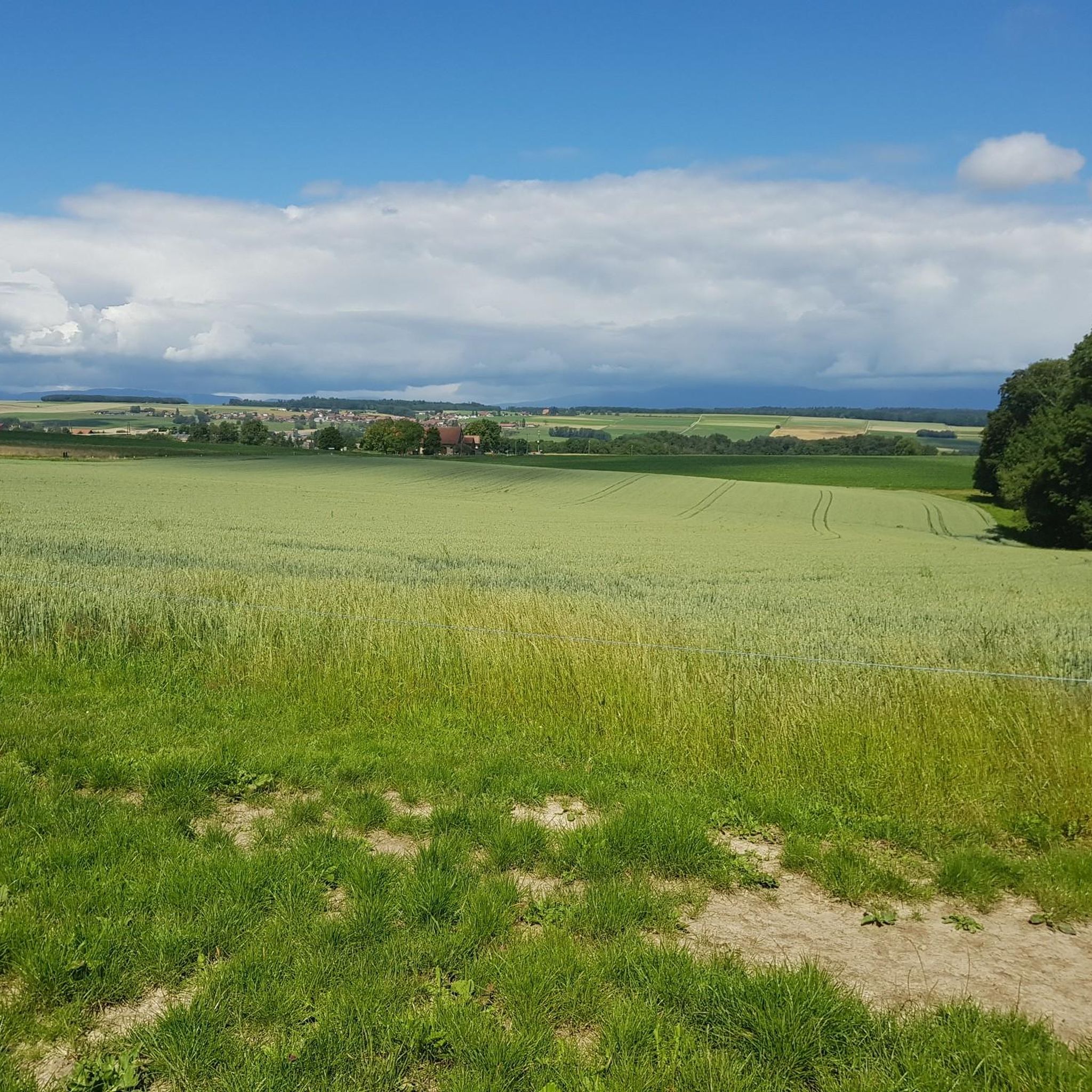
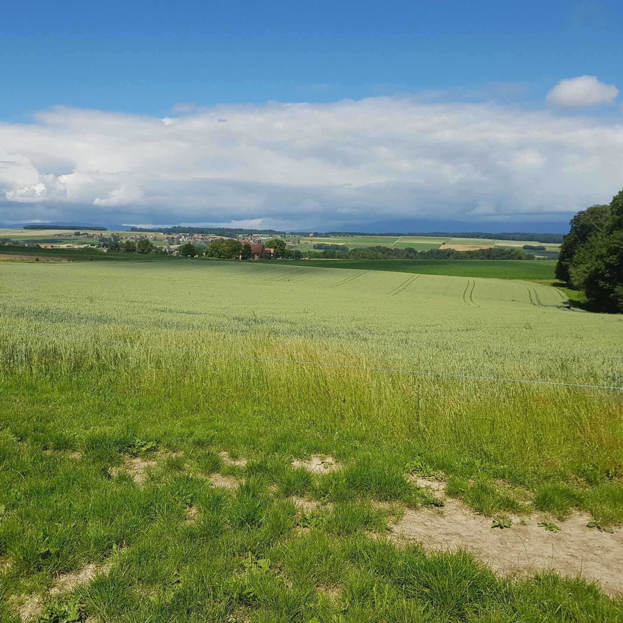
Hiking trails around Rueyres traverse a landscape characterized by gentle hills, agricultural fields, and scattered woodlands. The region offers a mix of open paths and shaded sections, often following small streams or rural roads. Elevation changes are generally mild, making many routes accessible for various fitness levels.
Best hiking trails around Rueyres
- The most popular hiking route is Chemin de l'Écluse – Picnic Gazebo with Fire Pit loop from Echallens, a 3.5 miles (5.6 km) trail that takes 1…
Last updated: October 9, 2026
4.5
(2)
27
hikers
7.48km
02:02
110m
110m
Moderate hike. Good fitness required. Easily-accessible paths. Suitable for all skill levels.
36
hikers
Moderate hike. Good fitness required. Easily-accessible paths. Suitable for all skill levels.

4.0
(1)
50
hikers
Easy hike. Great for any fitness level. Easily-accessible paths. Suitable for all skill levels.
6
hikers
7.72km
02:06
110m
110m
Moderate hike. Good fitness required. Easily-accessible paths. Suitable for all skill levels.
4.0
(1)
14
hikers
19.9km
05:21
240m
240m
Hard hike. Very good fitness required. Easily-accessible paths. Suitable for all skill levels.
Get access to more routes and recommendations from other explorers.
Already have an account?
Our route recommendations are based on thousands of hikes, rides, and runs completed by other people on komoot.
Start today with a free account
Your next adventure awaits.


Tips from the Community


Very pretty walk along the Talent, the stream begins in the Jorat forest and crosses the whole of Gros de Vaud to join the Orbe and become Thielle 😉
0
0

Access to the shore, possibility of soaking your feet.
0
0

The Refuge du Talent is located on the banks of the Talent. At the hut you will find a fountain, benches and tables and barbecue areas. The hut can be rented from the municipality of Assens.
1
0

Wonderful craftsmanship!
0
0

A pretty walk in the forest very well designed for families, perfect with a rickshaw or a wheelchair. Animated throughout the circuit. A great discovery and a real pleasure.
0
0

Sheltered hexagonal table. Hearth for grills. Trash.
0
0
Drinking water fountain. Tables, shelter, grills. On the edge of Talent.
0
0
Frequently Asked Questions
How many hiking trails are available around Rueyres?
There are over 45 hiking trails around Rueyres, offering a variety of options for different skill levels. You'll find 27 easy routes, 15 moderate routes, and 3 more challenging trails.
What kind of landscape can I expect on hikes near Rueyres?
Hiking trails around Rueyres traverse a landscape characterized by gentle hills, agricultural fields, and scattered woodlands. You'll find a mix of open paths and shaded sections, often following small streams or rural roads. Elevation changes are generally mild.
Are there any easy, family-friendly walks suitable for beginners or those with strollers?
Yes, many routes around Rueyres are suitable for families and beginners due to their mild elevation changes. An excellent option is the Chemin de l'Écluse – Picnic Gazebo with Fire Pit loop from Echallens, which is 3.5 miles (5.6 km) long and features a picnic gazebo with a fire pit, making it ideal for a leisurely outing. For stroller accessibility, look for routes described as 'easy' and check the terrain details on komoot.
Are there any circular hiking routes in the Rueyres area?
Yes, many of the trails around Rueyres are designed as circular routes. For example, the Refuge des Charbonnières – Brigands Bridge loop from Jorat-Menthue is a moderate 4.6-mile (7.5 km) loop that includes a refuge and a notable bridge. Another option is the Picnic Gazebo with Fire Pit – Cave loop from Sur Roche, a 5.1-mile (8.1 km) trail through varied terrain.
What are some interesting landmarks or attractions I can see near the hiking trails?
While hiking around Rueyres, you can explore several nearby attractions. Consider visiting historical sites like Yverdon-les-Bains Old Town or the Moudon Old Town. For nature lovers, there are lakes such as the Pond by the Broye and the Étang du Buron, as well as the Creux de Terre Nature Reserve.
What do other hikers enjoy most about the trails in Rueyres?
The hiking trails in Rueyres are highly rated by the komoot community, with an average score of 4.3 stars from over 130 reviews. Hikers often praise the region's gentle hills, varied agricultural landscapes, and the peaceful, small wooded areas, which offer a pleasant and accessible outdoor experience.
Are there any less crowded or 'hidden gem' trails in the area?
While specific 'hidden gems' are often discovered by individual exploration, many of the trails in Rueyres offer a tranquil experience away from major crowds. Routes that venture slightly off the most popular paths, such as the Nice loop from Montanaire, can provide a more secluded feel while still offering beautiful scenery.
Is it possible to access hiking trails near Rueyres using public transport?
Rueyres and its surrounding villages are generally well-connected by local public transport, primarily buses. Many trailheads are accessible from village centers, making it possible to reach them without a car. We recommend checking local bus schedules to plan your journey to specific starting points.
What is the best season for hiking in Rueyres?
The gentle landscape of Rueyres makes it suitable for hiking across multiple seasons. Spring brings blooming fields, while summer offers warm, sunny days. Autumn provides beautiful foliage, and even mild winter days can be pleasant for a walk, though conditions may vary. Always check local weather before heading out.
Are dogs allowed on the hiking trails around Rueyres?
Generally, dogs are welcome on hiking trails in the Rueyres region. However, it's always best to keep your dog on a leash, especially when passing through agricultural areas, near livestock, or in nature reserves. Please remember to clean up after your pet to maintain the cleanliness of the trails.
Are there any trails with picnic spots or facilities like fire pits?
Yes, some trails in the area offer convenient picnic spots and even fire pits. The Chemin de l'Écluse – Picnic Gazebo with Fire Pit loop from Echallens is a prime example, featuring a dedicated picnic gazebo with a fire pit, perfect for a break during your hike. Another route, the Picnic Gazebo with Fire Pit – Chemin de l'Écluse loop from Sur Roche, also includes similar facilities.
What should I pack for a summer hike in Rueyres?
For summer hikes in Rueyres, pack light, breathable clothing, sturdy hiking shoes, and plenty of water. Sun protection like a hat, sunglasses, and sunscreen is essential due to open field sections. A light rain jacket is also advisable for unexpected showers, and don't forget snacks for energy.
Most popular attractions around Rueyres

Get inspired with the komoot mobile app


Explore more
Browse the best Hikes in other regions.
