The best cycling routes around Colere
4.4
(340)
5,084
riders
108
rides
Touring cycling around Colere offers routes through the scenic Orobic Alps, characterized by mountain passes, deep valleys, and forested slopes. The region features significant elevation changes, with many routes traversing high-altitude roads and offering panoramic views. Rivers and streams carve through the landscape, contributing to varied terrain for cyclists.
Best touring cycling routes around Colere
- The most popular touring cycling route is Lake Gaiano – Valle Rossa Scenic Road loop from Bratto, a 46.5 miles (74.8 km) trail that…
Last updated: September 26, 2026
4.8
(11)
203
riders
35.6km
03:41
1,180m
1,180m
Hard bike ride. Very good fitness required. You may need to push your bike for some segments of this route.
3.6
(5)
103
riders
53.5km
04:01
1,310m
1,300m
Hard bike ride. Very good fitness required. Mostly paved surfaces. Suitable for all skill levels.

4.0
(5)
107
riders
58.8km
04:20
1,370m
1,370m
Hard bike ride. Very good fitness required. Mostly paved surfaces. Suitable for all skill levels.
4.7
(6)
93
riders
25.7km
02:08
840m
840m
Hard bike ride. Very good fitness required. Mostly paved surfaces. Suitable for all skill levels.
5.0
(2)
81
riders
26.3km
02:05
720m
730m
Hard bike ride. Very good fitness required. Mostly paved surfaces. Suitable for all skill levels.
Get access to more routes and recommendations from other explorers.
Already have an account?
Our route recommendations are based on thousands of hikes, rides, and runs completed by other people on komoot.
Start today with a free account
Your next adventure awaits.
Popular around Colere

Path of the Iron Woods in Northern Italy – Via Decia
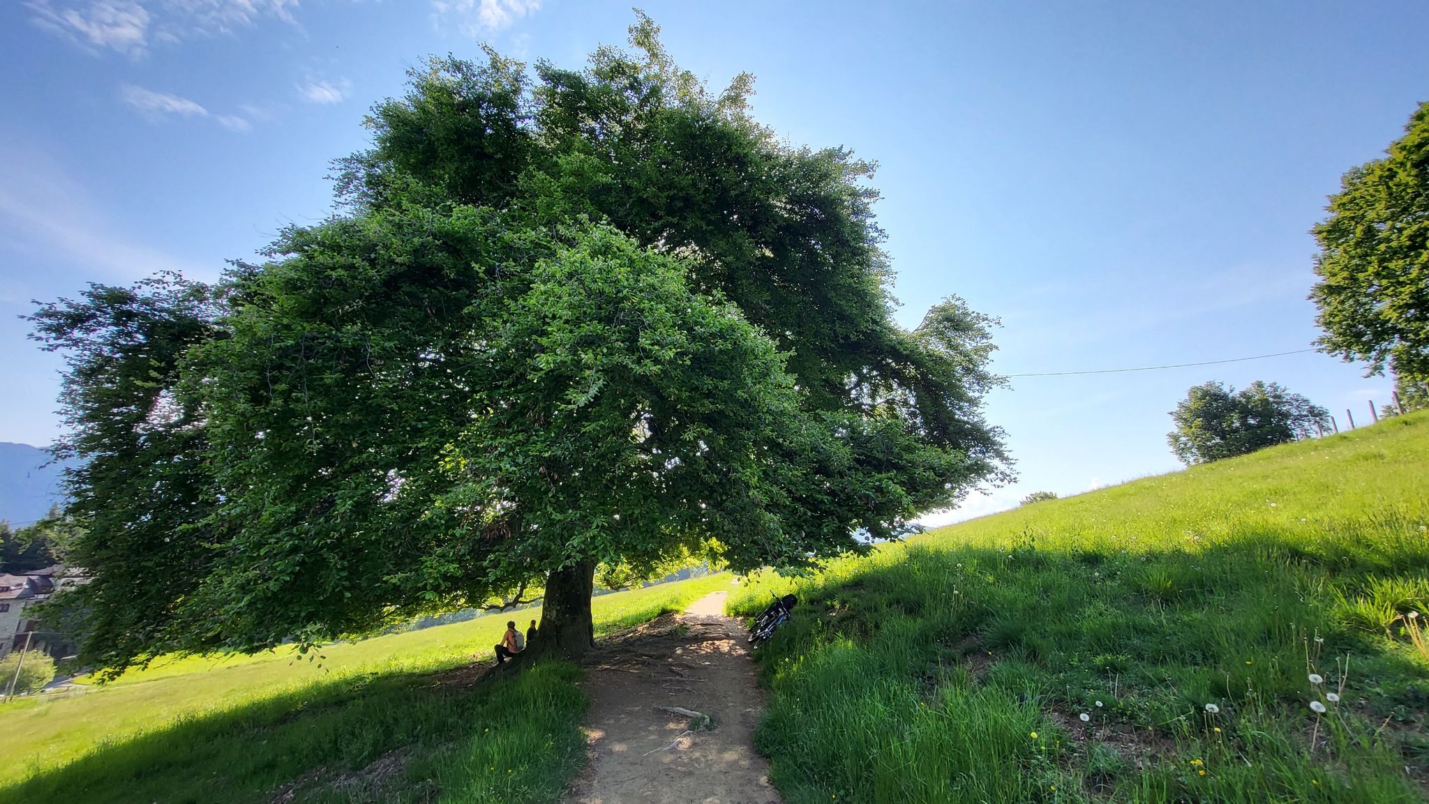
In Val di Scalve – CamminaForeste in Lombardia part 4
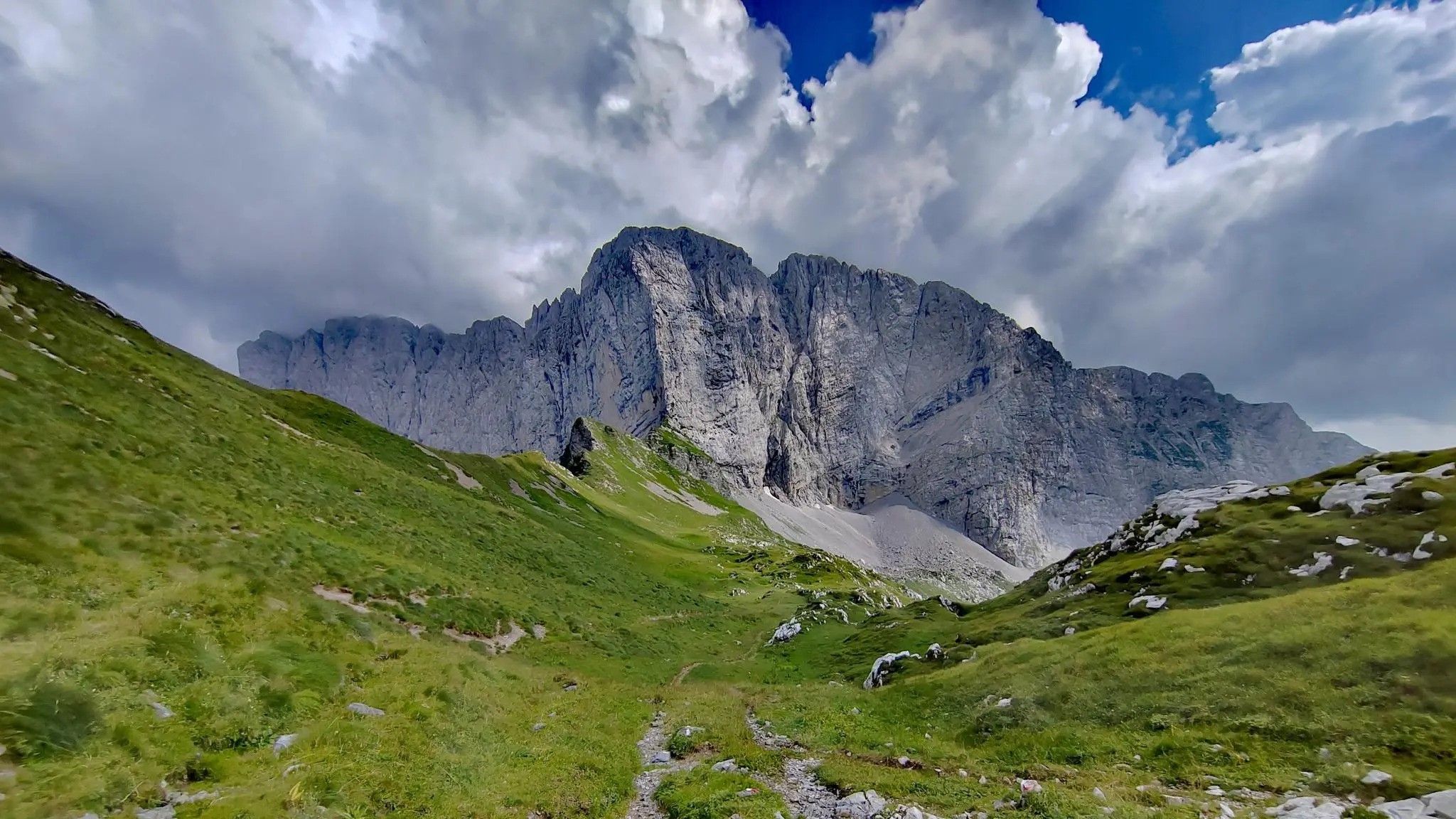
Trekking in val di Scalve – among the Piccoli Dolomiti Bergamasche
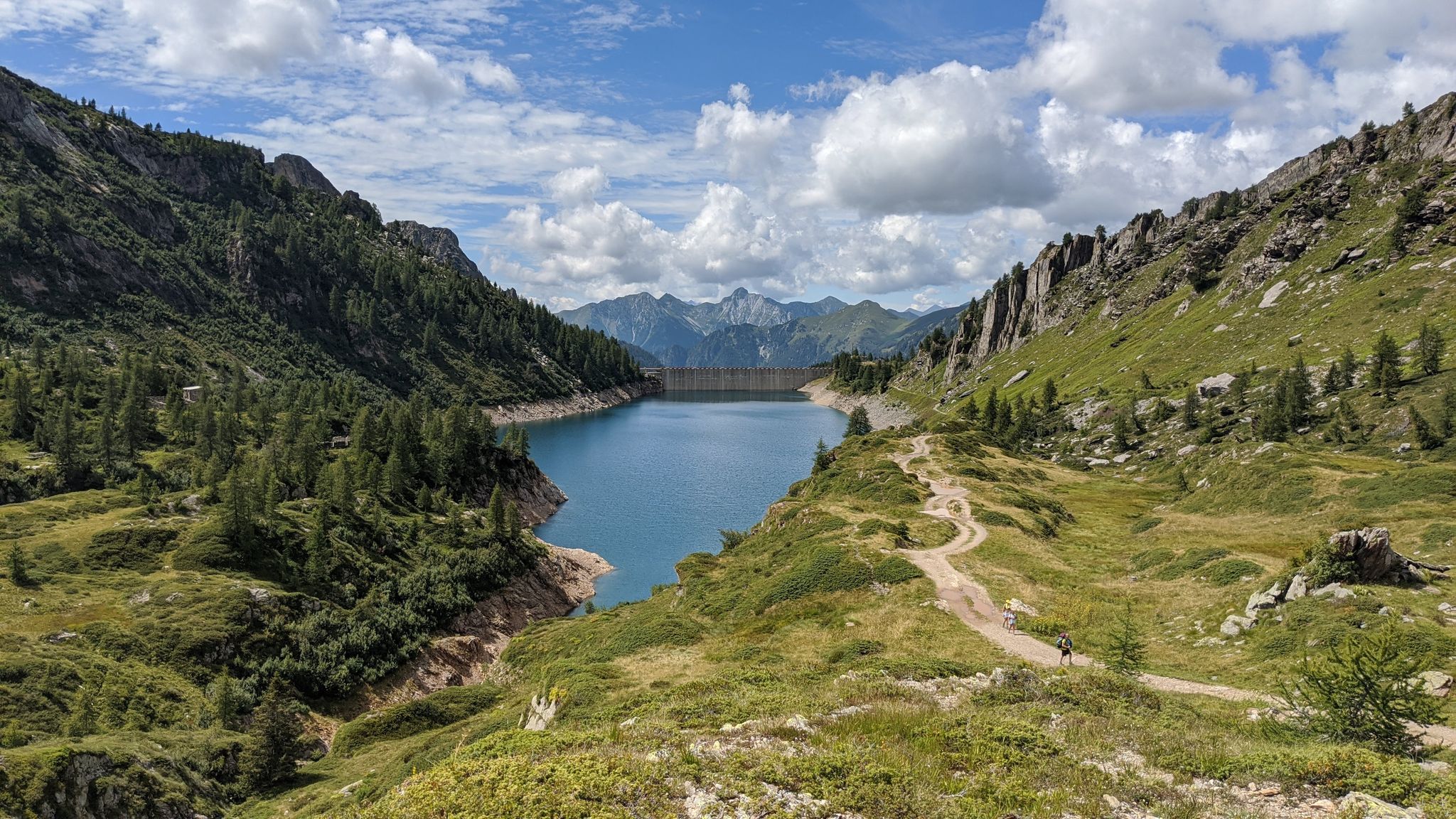
Eastern Orobie Path – a loop through Italy’s Orobie Mountains

A stone's throw from Presolana – trekking in Italy’s Val Seriana
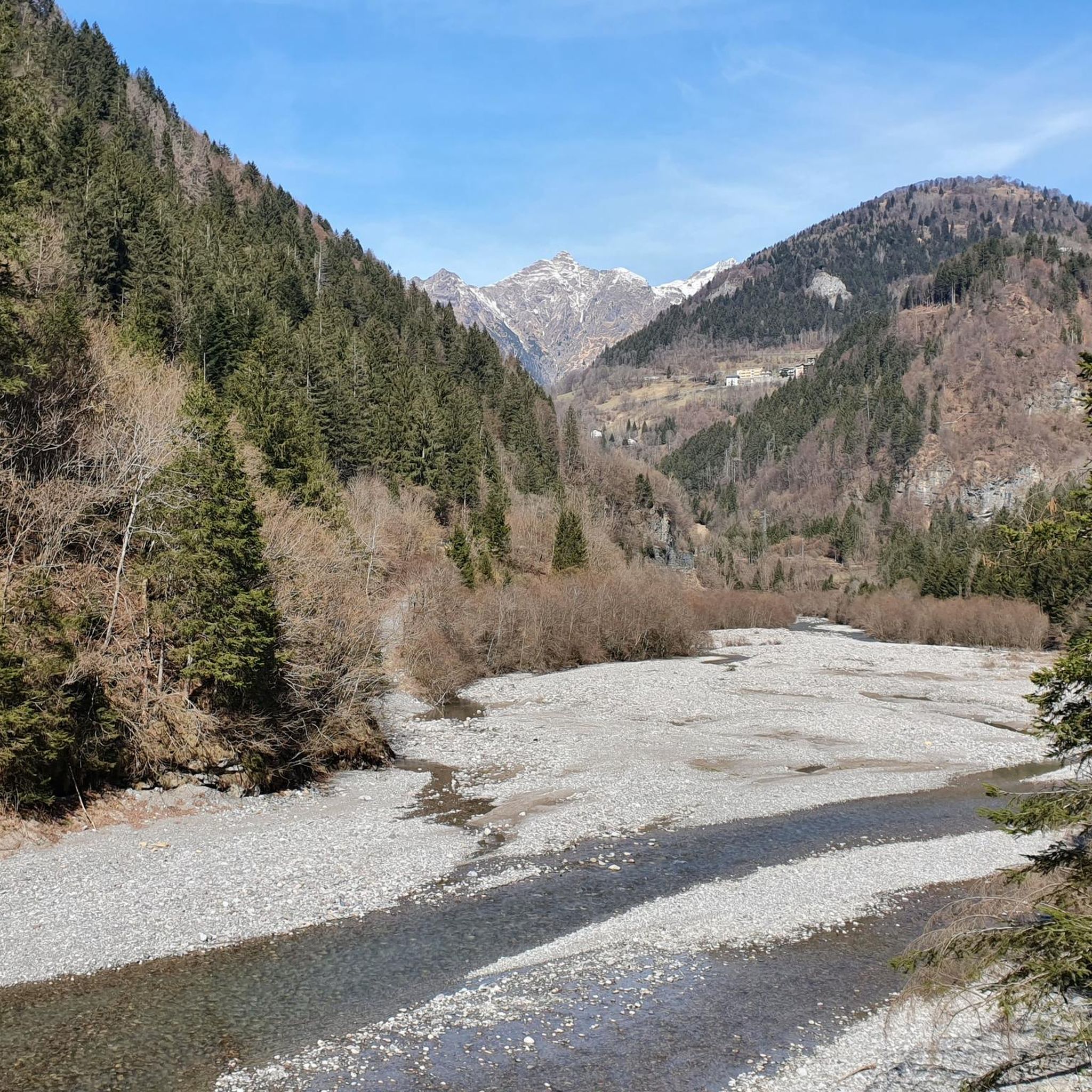
Hiking around Colere
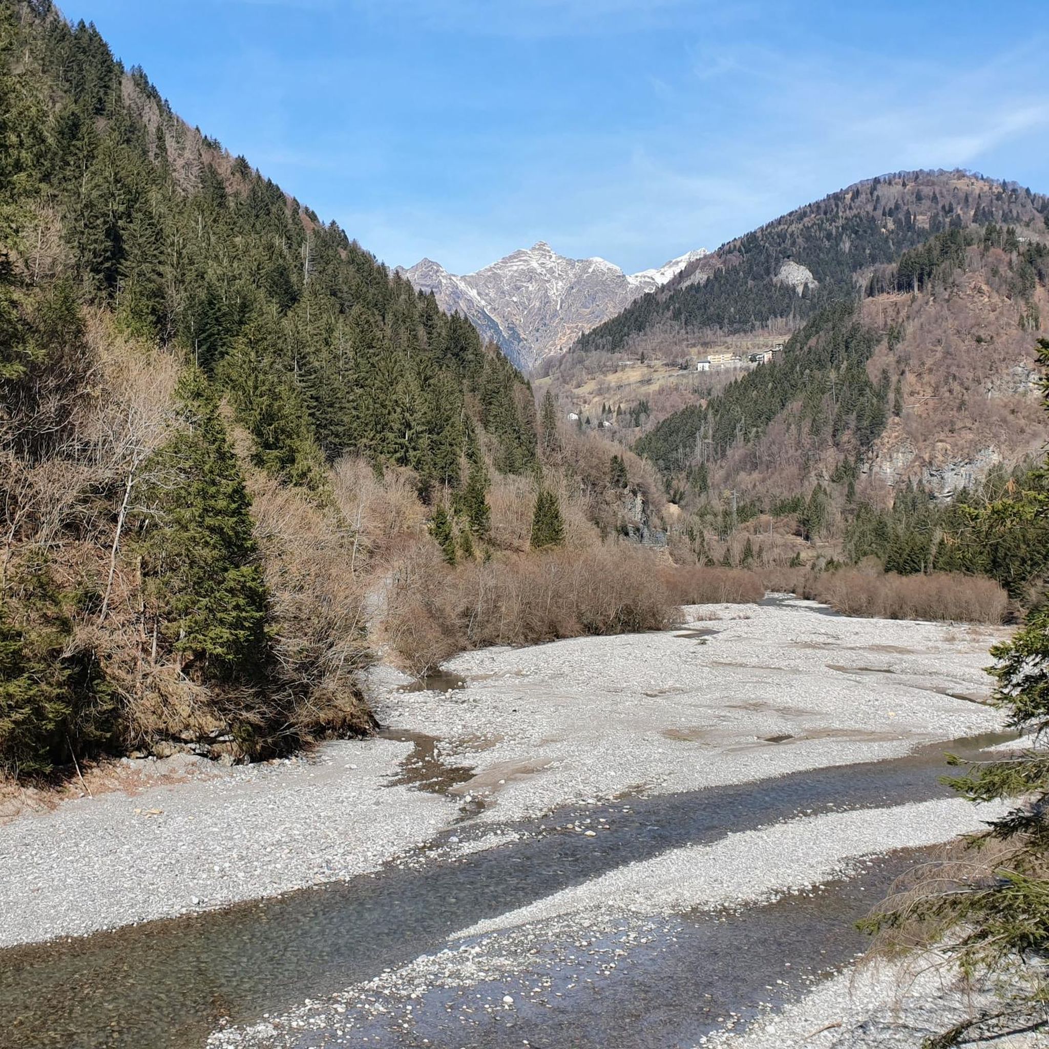
MTB Trails around Colere
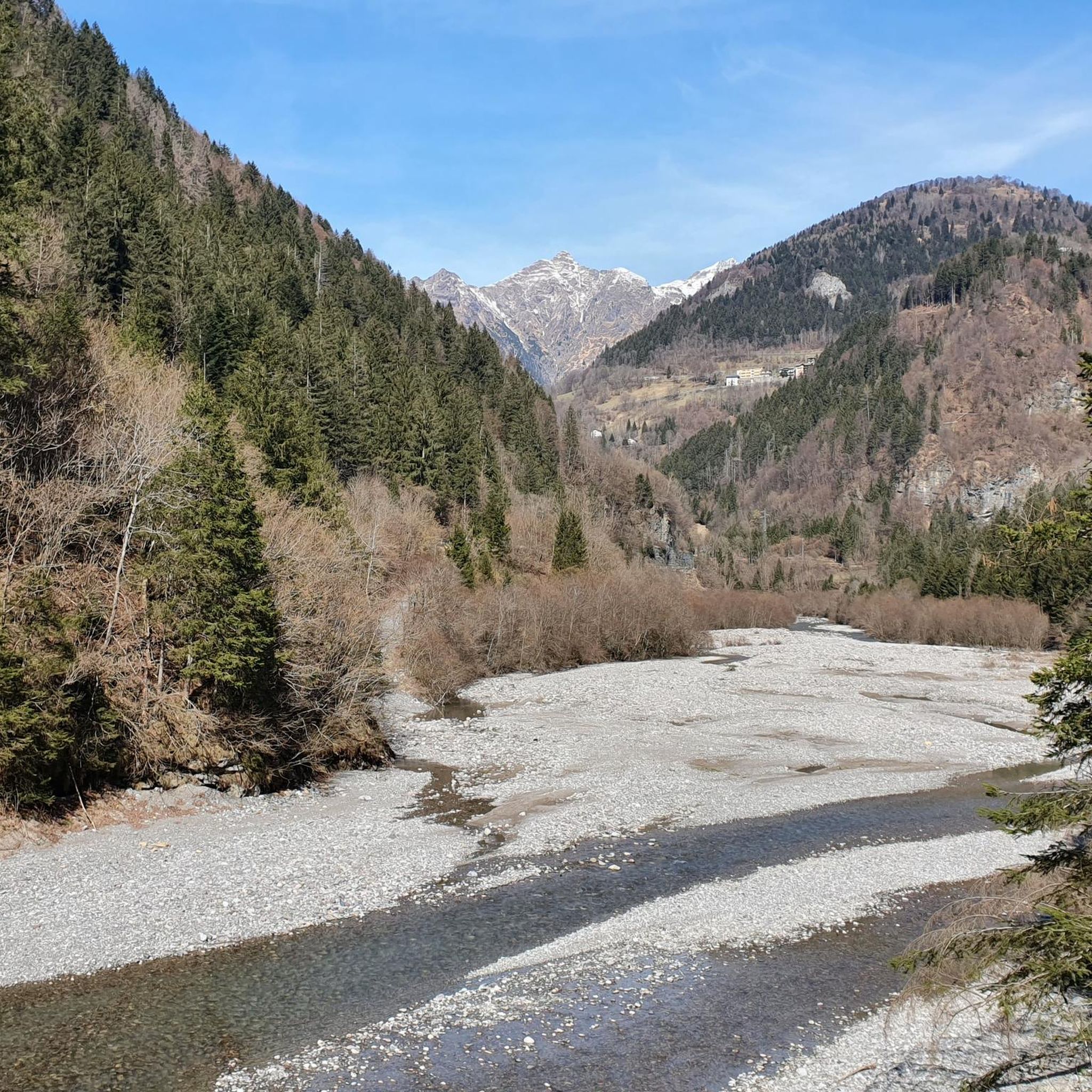
Road Cycling Routes around Colere
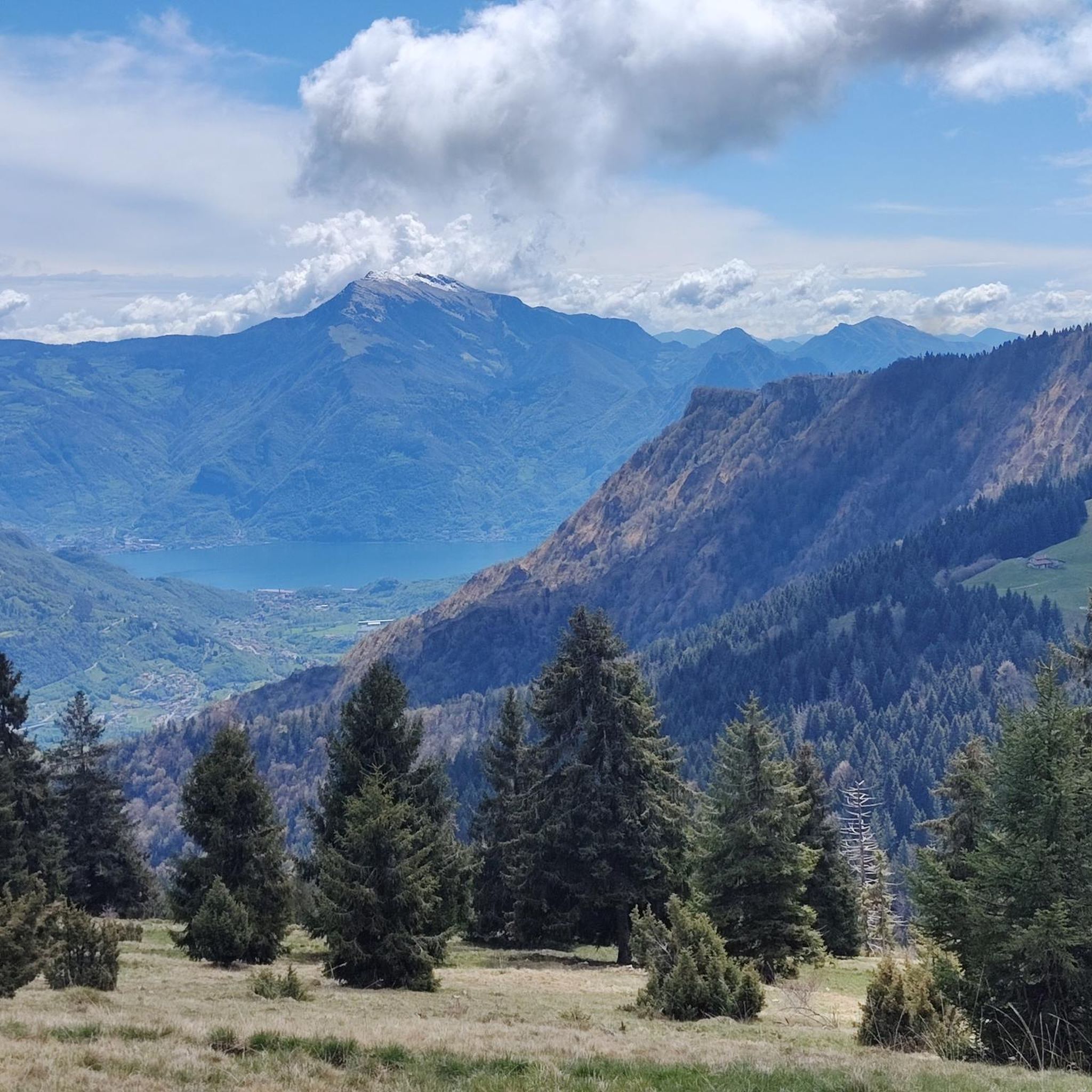
Running Trails around Colere

Gravel biking around Colere
Other adventures around Colere


Tips from the Community

Currently the road is closed at castione della presolana
0
0

Short but tough climb, constantly in double digits with sections close to 20%. Much better to tackle it downhill. Watch out for the three short dirt sections with exposed rocks, jumps, and big stones, which on the climb can even force you to get off your MTB.
1
0

Very picturesque with beautiful views and good asphalt. At the pass there are bars, restaurants, meadows and fountains.
0
0
Ascent that crosses several very well-equipped and beautiful villages to see.
0
0

it's a good starting point convenient and with excellent parking
0
0

Fondi di Schilpario is an Alpine village located at approximately 1,250 meters above sea level in the municipality of Schilpario (BG), in the Scalve Valley. It is a strategic starting point for numerous hikes and snowshoeing excursions, immersed in a spectacular mountain landscape. 🏞️ Main Features Altitude: 1,250 m Access: Via Provincial Road 294 towards the Vivione Pass Services: Parking, votive church (Maria Ausiliatrice and Santa Barbara), picnic tables Ambience: Fir forests, alpine pastures, views of the Presolana and Cimon della Bagozza peaks 🥾 Excursions from Fondi Campione Refuge (1,900 m) – 1.5 hours Monte Campioncino (2,102 m) – 2.5 hours Don Giulio Corini Bivouac (2,016 m) – 2.45 hours Madonnina dei Campelli – 1.5 hours Malga Campelli Bassa and Alta – 1.15–1.45 hours ❄️ In winter Starting point for snowshoeing and ski mountaineering Groomed and marked trails, including Snow Spectacular snow-covered landscape, ideal for nature photography 🙏 Interesting Facts The votive church is dedicated to Mary Help of Christians and Saint Barbara, protectors of mountaineers and miners. Nearby is a memorial to the victims of the 1944 massacre.
0
0

I've done it twice in the same lap, first from Desso, then after climbing Monte Pora. They're completely different. From Desso, it's long and always in double digits, with significant peaks, so take it with a pinch of salt; the other is rideable. Seeing is believing. 🚴♀️
0
0

Frequently Asked Questions
What kind of difficulty can I expect on touring cycling routes around Colere?
The Colere region, situated in the Orobic Alps, is characterized by significant elevation changes, mountain passes, and deep valleys. Consequently, the majority of touring cycling routes are challenging. Out of nearly 100 routes, 69 are classified as difficult, 20 as moderate, and 8 as easy, catering to various skill levels.
Are there any easy touring cycling routes suitable for beginners in Colere?
While the region is known for its challenging mountain passes, there are a few easier touring cycling options available. These routes typically feature less elevation gain and traverse valley floors or gentler slopes. It's advisable to check the route profiles on komoot for specific details to ensure they match your fitness level.
Where can I find challenging touring cycling routes in the Colere area?
Colere is an excellent destination for experienced touring cyclists seeking a challenge. Routes like the Vivione Pass – Schilpario loop from Azzone offer substantial climbs and descents through mountain passes and valleys. Another demanding option is the Schilpario Water Fountain – Schilpario loop from Vilminore di Scalve, which explores the Scalve Valley with significant elevation changes.
Are there many circular touring cycling routes around Colere?
Yes, many touring cycling routes in the Colere area are designed as loops, allowing you to start and finish at the same point. Examples include the popular Lake Gaiano – Valle Rossa Scenic Road loop from Bratto, which offers extensive scenic sections, and the Montecchio Roman Bridge – Montecchio Roman Bridge loop from Azzone.
What is the best season for touring cycling in Colere?
The best season for touring cycling in Colere is generally from late spring to early autumn (May to October). During these months, the weather is more stable, mountain passes are typically clear of snow, and temperatures are pleasant. Always check local weather forecasts, especially for higher elevations, as conditions can change rapidly.
What kind of natural attractions can I see along the touring cycling routes?
The Colere region is rich in natural beauty. Along your routes, you might encounter stunning waterfalls such as Serio Falls or Vò Waterfall. The landscape also features unique geological formations like the Giant's Kettles of Valzurio, and numerous rivers and streams carving through the valleys.
Are there any notable mountain peaks or viewpoints accessible from cycling routes?
Yes, the Orobic Alps offer numerous peaks and viewpoints. While many summits require hiking, some cycling routes provide panoramic views of prominent peaks like Pizzo Corzene or the Western Summit of the Presolana. The Presolana Cycling Route – Presolana Pass loop from Passo della Presolana, for instance, offers stunning mountain vistas.
What do other touring cyclists enjoy most about touring cycling in Colere?
The Colere touring cycling routes are highly rated by the komoot community, with an average score of 4.4 stars from over 200 reviews. Cyclists frequently praise the challenging mountain passes, the extensive scenic road sections, and the diverse terrain that includes forested ascents and deep valleys. The sense of accomplishment after tackling the significant elevation changes is also a common highlight.
Is it possible to combine touring cycling with public transport in Colere?
While specific information on bike-friendly public transport directly within Colere is limited, regional bus services in the Val Seriana and Val di Scalve areas often connect smaller towns. It's recommended to check with local transport providers regarding their policies on carrying bicycles, especially for longer journeys or during peak seasons.
Are there any cafes or refreshment stops along the touring cycling routes?
Many villages and towns along the touring cycling routes in the Colere region offer cafes, restaurants, and small shops where you can refuel and take a break. Given the mountainous terrain and longer distances, planning your route to include these stops is advisable. Larger towns like Vilminore di Scalve or Azzone, often serve as starting points or pass-through locations, providing good opportunities for refreshments.
Are there any wild swimming spots near Colere cycling paths?
The Colere region is crisscrossed by rivers and streams, such as those feeding into the Ogna River. While specific designated wild swimming spots directly adjacent to cycling paths might not be numerous, you may find natural pools or calmer sections of rivers suitable for a refreshing dip, especially during warmer months. Always exercise caution and respect local regulations regarding water access.
What are the typical starting points for touring cycling routes in Colere?
Common starting points for touring cycling routes in the Colere area include towns and villages such as Bratto, Azzone, Vilminore di Scalve, and Passo della Presolana. These locations often provide access to the main road networks that lead into the Orobic Alps and offer convenient parking options for cyclists.
Most popular routes around Colere
Most popular attractions around Colere

Get inspired with the komoot mobile app


Explore more
Browse the best Cycling routes in other regions.
