The best road cycling routes around Rumisberg
4.5
(277)
5,127
riders
112
rides
Road cycling around Rumisberg, situated on the southern slopes of the Jura mountains in the canton of Bern, Switzerland, offers diverse terrain for cyclists. The region features varied altitudes ranging from 1,804 to 4,042 feet (550 to 1,232 meters), providing both gradual ascents and demanding climbs. Routes often wind through a mix of agricultural land and extensive forests, offering changing scenery. This topography creates an environment suitable for various road cycling routes.
Best road cycling routes around Rumisberg
- The most…
Last updated: July 10, 2026
5.0
(6)
177
riders
83.1km
04:29
1,500m
1,500m
Hard road ride. Very good fitness required. Mostly well-paved surfaces and easy to ride.
5.0
(2)
43
riders
26.5km
01:11
170m
170m
Moderate road ride. Great for any fitness level. Some segments of this route may be unpaved and difficult to ride.

Sign up for free
4.5
(2)
14
riders
68.8km
02:54
440m
440m
Moderate road ride. Good fitness required. Mostly well-paved surfaces and easy to ride.
14
riders
41.2km
01:50
230m
230m
Moderate road ride. Great for any fitness level. Some segments of this route may be unpaved and difficult to ride.
14
riders
21.6km
01:23
620m
620m
Moderate road ride. Good fitness required. Mostly well-paved surfaces and easy to ride.
Get access to more routes and recommendations from other explorers.
Sign up for free
Already have an account?
Our route recommendations are based on thousands of hikes, rides, and runs completed by other people on komoot.
Start today with a free account
Your next adventure awaits.
Login or Signup
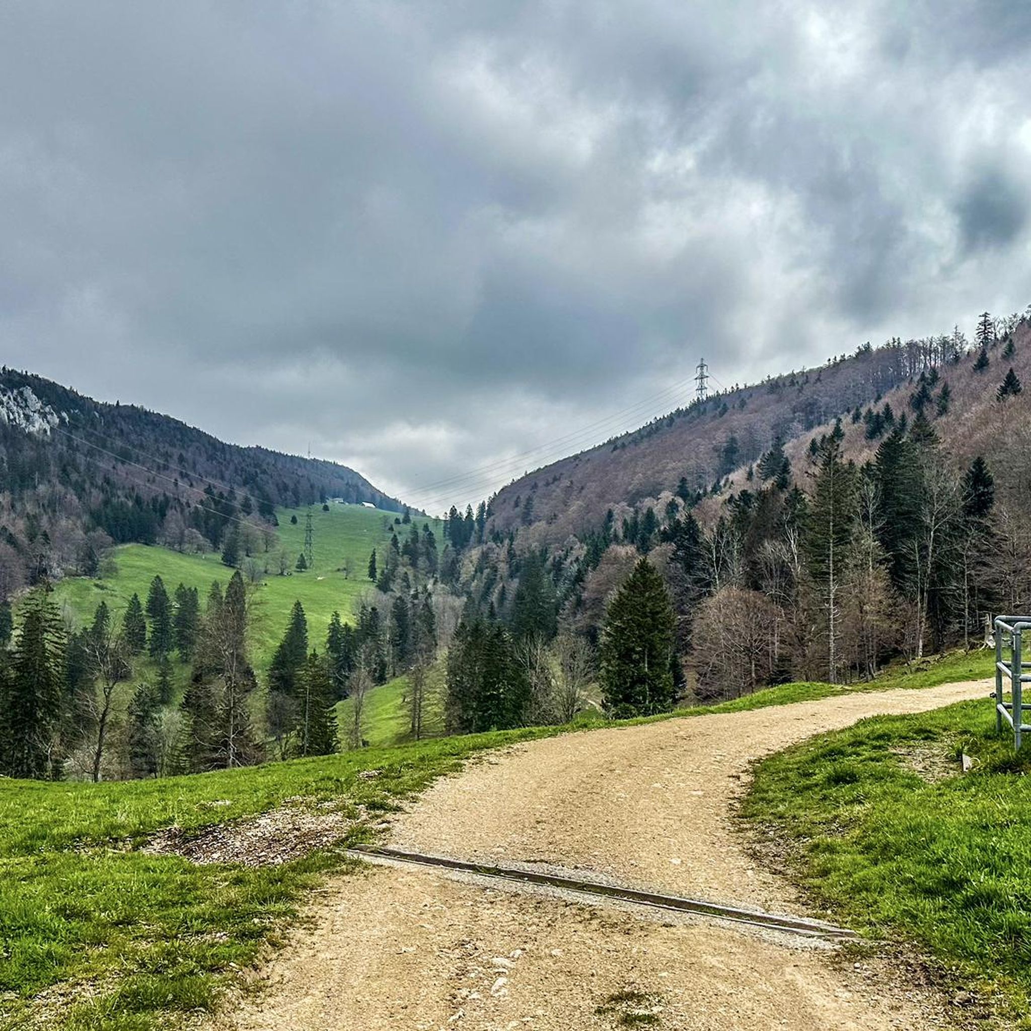
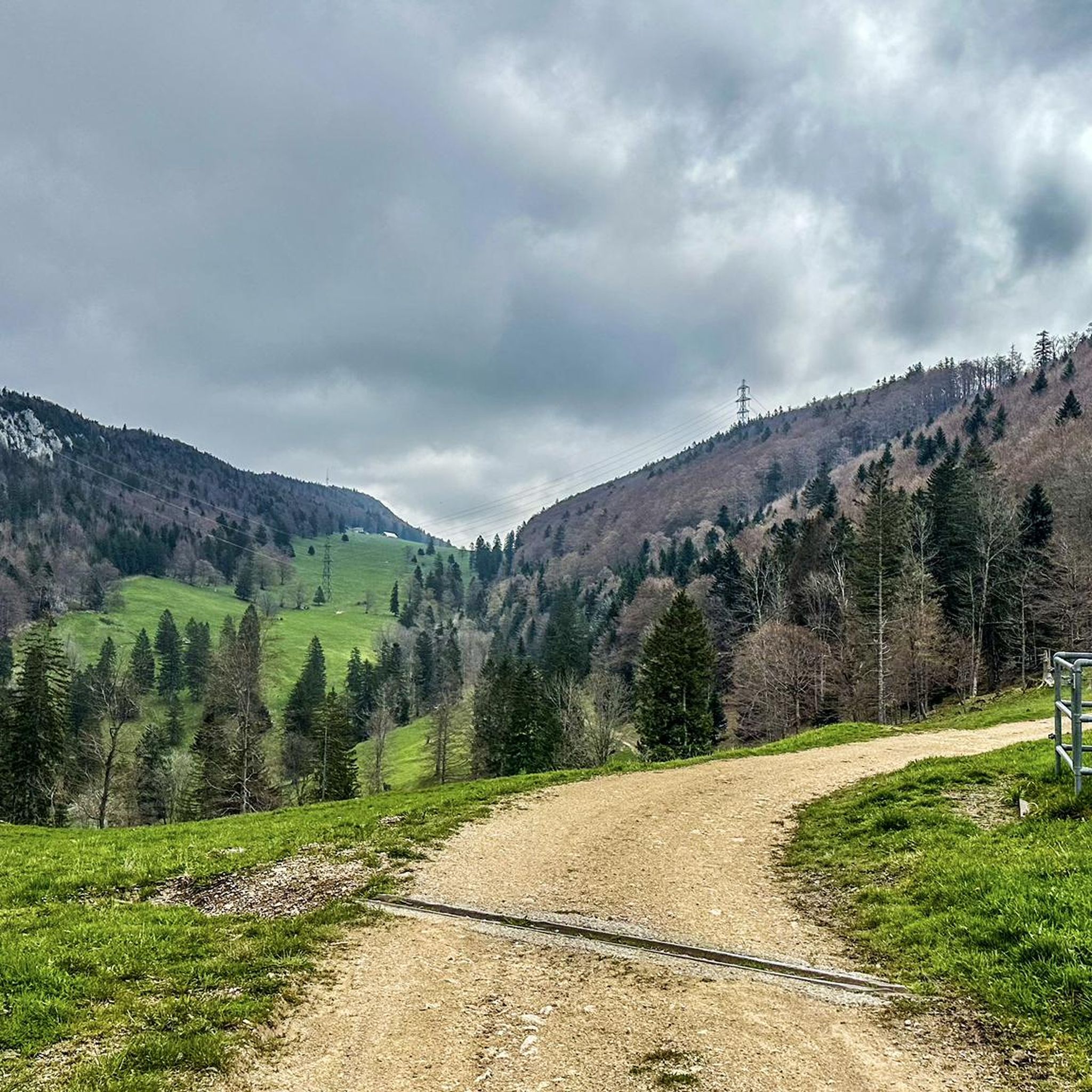

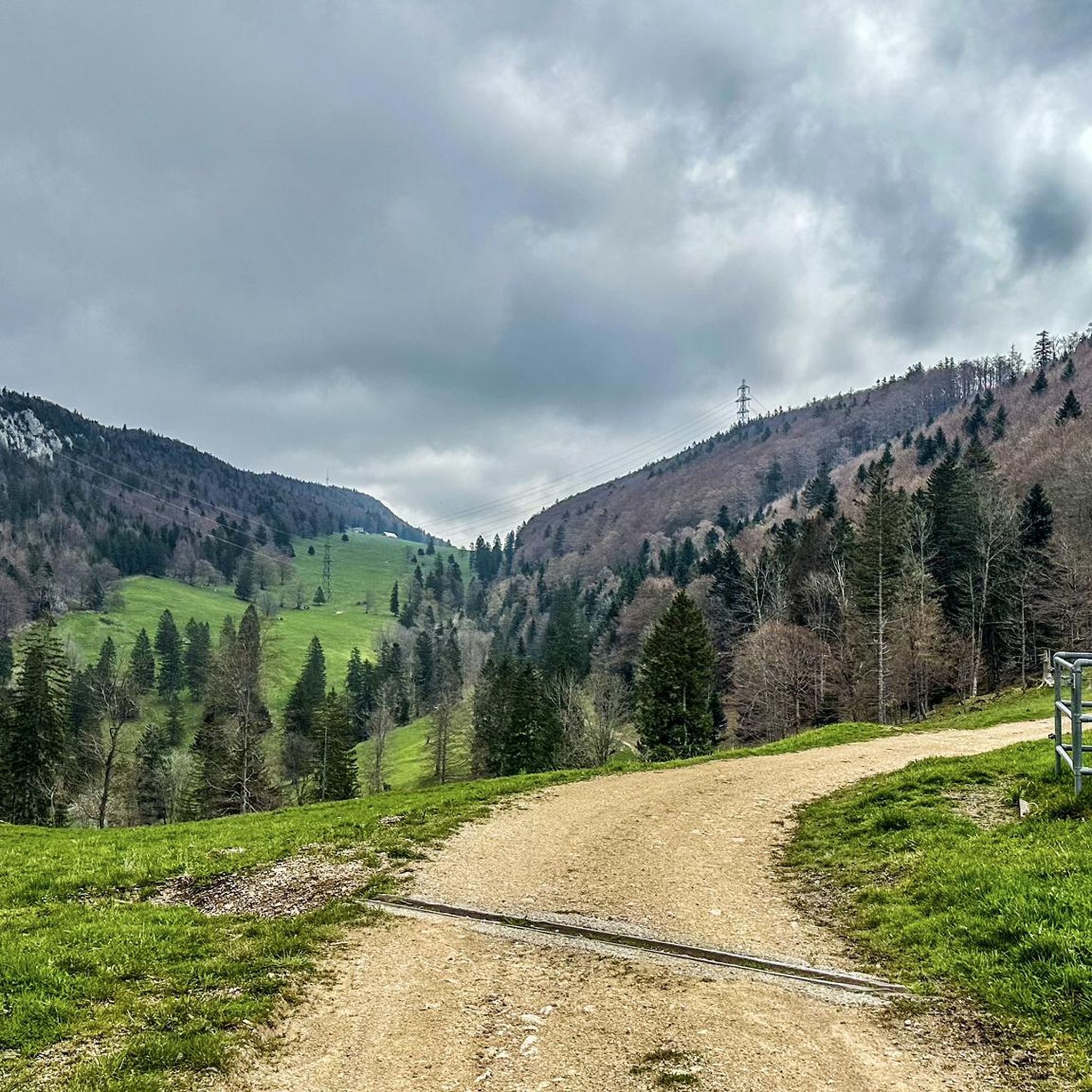

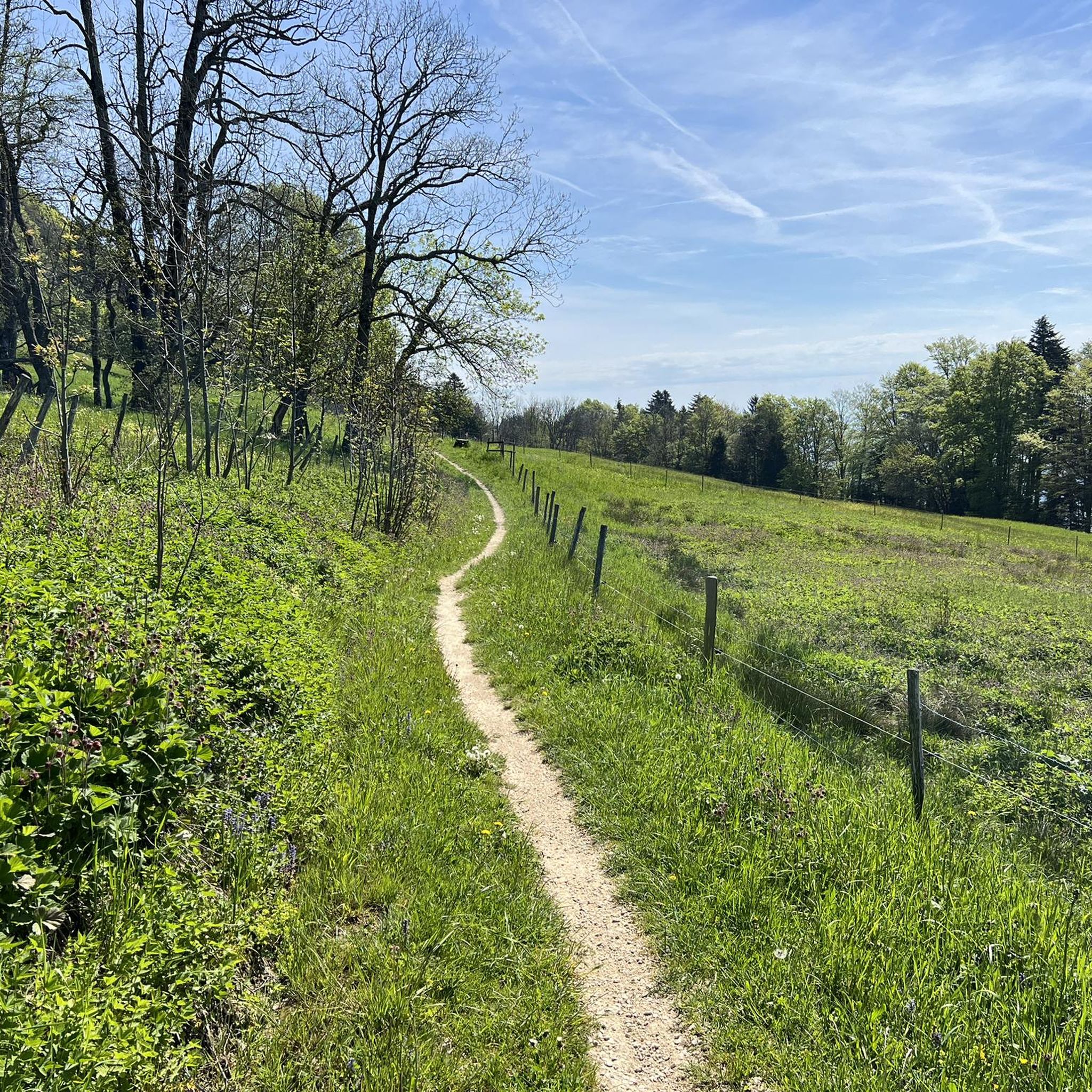
Tips from the Community

pretty here, mega super pretty
0
0


Sürk cool starting point for Vili Tourene
0
0

Stylistically inspired by Italian Baroque architecture with elements reminiscent of French classicism, it took more than four decades to complete this impressive building due to financial constraints during construction.
7
0

This fountain located on the cycleway leading through the village has freshwater located in the shade and there are several other small shops to load up on snacks and food.
0
0
Balsthal is a great starting point leading to 4 nice low level passes (Passwang, Schelten, Hauenstein and Binzberg via Gänsbrunnen). The village itself does offer several restaurants from inexpensive bistros to 3 star restaurants as well as several fountains to fill up your water bottles.
0
0

Parking on both sides! Beautiful bike paths in all directions.
0
0
Frequently Asked Questions
What kind of terrain can I expect when road cycling around Rumisberg?
Road cycling around Rumisberg, located on the southern slopes of the Jura mountains, offers diverse terrain. You can expect varied altitudes ranging from 1,804 to 4,042 feet (550 to 1,232 meters), providing both gradual ascents and demanding climbs. Routes often wind through a mix of agricultural land and extensive forests, ensuring picturesque and constantly changing scenery.
How many road cycling routes are available around Rumisberg?
There are over 100 road cycling routes available around Rumisberg. The komoot community has mapped 118 routes in total, offering a wide range of options for different skill levels.
Are there challenging road cycling routes in Rumisberg?
Yes, Rumisberg offers challenging routes, particularly due to its location on the Jura mountain slopes. For example, the Ascent to Grenchenberg – Grenchenberg loop from Wiedlisbach is a difficult 51.5-mile (82.9 km) trail with significant elevation gain, characteristic of the Jura mountain terrain.
Are there easier road cycling options around Rumisberg?
Yes, there are easier road cycling options available. For instance, the Café Knaus, Solothurn – View of Bättlerchuchi loop from Oberbipp is an easy 41.1 km route. In total, there are 27 easy routes mapped in the region, suitable for less experienced cyclists or those looking for a more relaxed ride.
What scenic viewpoints can I reach by road bike near Rumisberg?
Several prominent natural features offer breathtaking vistas. You can cycle towards Weissenstein for unique views stretching from Säntis to Mont Blanc on clear days. Another rewarding goal is the Hohe Winde Summit, known for its sensational views across to the Alps, the Vosges, and the Black Forest. The Wiedlisbach Old Town – Bättlerchuchi viewpoint loop from Oberbipp also leads to the Bättlerchuchi lookout, offering wide-open views.
Are there any other notable natural features or landmarks to see while cycling?
Beyond the viewpoints, you can explore the historic old town of Solothurn, with its charming Aare River Promenade, which offers a pleasant setting for a leisurely ride. The region also features extensive forests and agricultural land, providing varied and picturesque backdrops throughout your journey.
What do other road cyclists enjoy most about road cycling in Rumisberg?
The road cycling routes in Rumisberg are highly rated by the komoot community, with an average score of 4.6 stars from over 250 reviews. Cyclists often praise the diverse terrain, which includes a mix of challenging ascents and scenic rides through forests and agricultural land, as well as the rewarding panoramic views from various summits.
What is the best time of year for road cycling in Rumisberg?
The best time for road cycling in Rumisberg is generally during the warmer months, from spring through autumn, when the weather is mild and the roads are clear. This allows for optimal enjoyment of the diverse landscapes and panoramic views without the challenges of winter conditions.
Are there family-friendly or easy road cycling routes suitable for beginners?
Yes, Rumisberg offers options suitable for families and beginners. There are 27 easy routes available, which typically feature less elevation gain and shorter distances. These routes often traverse agricultural land or follow less demanding paths, providing a pleasant experience for all skill levels.
Is there convenient parking available for cyclists in Rumisberg?
While specific parking areas for cyclists in Rumisberg are not detailed, as a smaller municipality, parking is generally available in or near the village center. Many routes, such as the Wiedlisbach Old Town – Red Bridge over the Aare loop from Oberbipp, start from nearby towns like Oberbipp, where parking facilities are typically accessible.
Can I reach Rumisberg by public transport with my bike?
Public transport options to Rumisberg are available, and Swiss public transport generally accommodates bicycles, though specific rules and peak hour restrictions may apply. It's advisable to check the SBB (Swiss Federal Railways) website or local bus schedules for the most current information regarding bike transport on your chosen route to Rumisberg or nearby starting points like Wiedlisbach or Oberbipp.
Are there loop road cycling routes around Rumisberg?
Yes, many road cycling routes around Rumisberg are designed as loops, allowing you to start and end at the same point. Examples include the Biberist–Lohn Cycle Path – Wiedlisbach Old Town loop from Oberbipp, which covers 43.3 miles (69.8 km) through varied landscapes, and the Ascent to Grenchenberg – Grenchenberg loop from Wiedlisbach.
Most popular routes around Rumisberg
Most popular attractions around Rumisberg

Get inspired with the komoot mobile app


Explore more
Browse the best Road cycling routes in other regions.
