The best mountain hikes around Vione
4.0
(15)
217
hikers
5
hikes
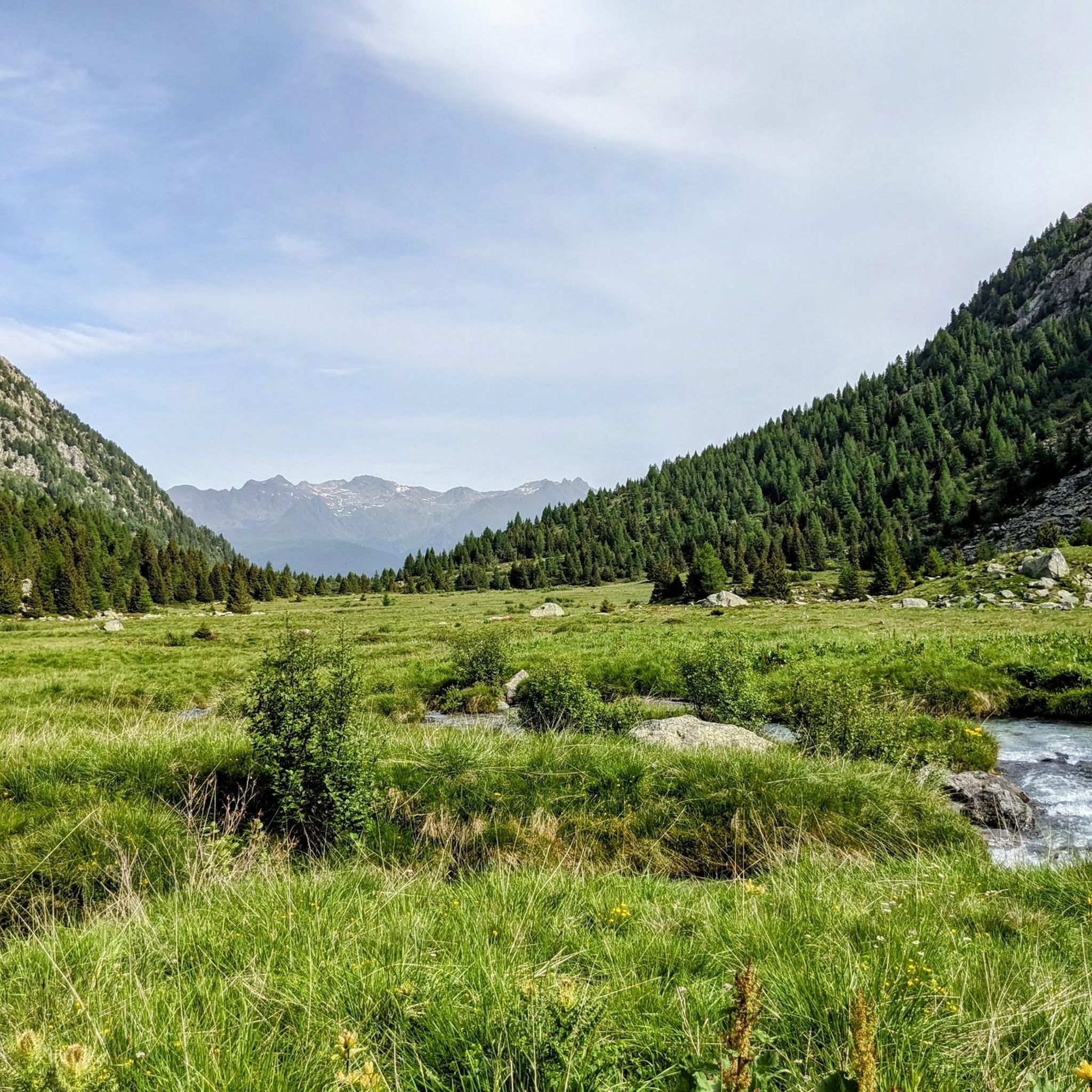
Mountaineering routes Vione are situated in the upper Val Camonica, within the province of Brescia, Lombardy, Italy, offering access to diverse alpine landscapes. The region is characterized by significant mountainous terrain, including proximity to Parco dell'Adamello and Parco Nazionale dello Stelvio. These natural parks feature rugged alpine beauty, high-altitude lakes like Lago Aviolo, and extensive networks of trails suitable for challenging ascents. The area's elevation, around 1,250 meters (4,100 ft), provides a base for exploring various peaks and valleys.
Best…
Last updated: August 28, 2026
5.0
(7)
64
hikers
Hard mountaineering route. Good fitness required. Sure-footedness, sturdy shoes and alpine experience required.
3.0
(1)
22
hikers
7.66km
03:17
570m
570m
Moderate mountaineering route. Good fitness required. Mostly accessible paths. Sure-footedness required.

Sign up for free
11
hikers
13.7km
06:38
1,160m
1,160m
Hard mountaineering route. Very good fitness required. Sure-footedness, sturdy shoes and alpine experience required.
11
hikers
12.8km
06:22
1,140m
1,140m
Hard mountaineering route. Very good fitness required. Sure-footedness, sturdy shoes and alpine experience required.
9
hikers
13.1km
04:54
780m
780m
Moderate mountaineering route. Good fitness required. Mostly accessible paths. Sure-footedness required.
Our route recommendations are based on thousands of hikes, rides, and runs completed by other people on komoot.
Start today with a free account
Your next adventure awaits.
Login or Signup


Other adventures around Vione

Tips from the Community

The Passo del Tonale is an alpine pass located at an altitude of 1,884 meters that connects Lombardy (Valle Camonica) and Trentino-Alto Adige (Val di Sole). It is one of the most renowned tourist resorts in northern Italy, frequented both in winter and summer.
0
0

3,000 m altitude. it is recommended to always have clothing suitable for any weather
0
0

Large municipality/village at the pass summit
1
0


Superb route that I took from the Mandron refuge.
0
1

Excellent refuge, the refugee is very knowledgeable and always willing to offer advice. The food is good and the facility is well-maintained, and lastly, it's really cheap.
0
0
Excellent refuge. The refugee is very knowledgeable and available for advice. The food is good, the structure is well-maintained, sustainable, and finally, it's cheap for what you get. Highly recommended.
0
0

A splendid structure halfway between a high mountain refuge and a hotel, the Capanna Presena is located at an altitude of 2,753 metres, not far from the intermediate station of the ski lift towards Cima Presena.
0
0
Frequently Asked Questions
What kind of mountaineering routes can I expect around Vione?
The Vione area, situated in the upper Val Camonica, offers challenging mountaineering routes primarily within the Parco dell'Adamello and Parco Nazionale dello Stelvio. These routes feature rugged alpine landscapes, high-altitude lakes, and glacial features, catering to experienced mountaineers seeking demanding terrain and ascents.
Are there any easy or moderate mountaineering routes in Vione?
The mountaineering routes listed for Vione are all classified as difficult, indicating they require significant experience, fitness, and often specialized gear. There are no easy or moderate mountaineering routes specifically highlighted in this selection.
What are some notable natural features or landmarks to see while mountaineering in Vione?
Mountaineering in Vione offers access to stunning natural features. You can explore high-altitude lakes such as Lake Aviolo, known for its beautiful basin, and Lake Avio. The region also features significant mountain passes like Passo Paradiso, Passo dell'Alpe (2461 m), and Gavia Pass, offering panoramic views and challenging terrain.
Are there any circular mountaineering routes around Vione?
Yes, several mountaineering routes around Vione are circular. For instance, the Lake Avio loop from Malga Caldea is a difficult 18.5 km route exploring the high alpine environment. Another option is the Cima Presena Summit Viewpoint – Lago di Monticello loop from Passo del Tonale, offering panoramic views from Cima Presena.
What is the best time of year for mountaineering in Vione?
The best time for mountaineering in Vione is typically during the warmer months, from late spring to early autumn (June to September), when snowmelt allows for better access to high-altitude trails and glaciers. However, conditions can vary, and some routes, especially those involving glaciers, may require specific gear and experience even in summer. Always check local weather and trail conditions before heading out.
What do other mountaineers say about the routes in Vione?
The mountaineering routes around Vione are highly regarded by the komoot community, holding an average rating of 4.0 stars from over 20 reviews. Mountaineers often praise the challenging nature of the terrain, the stunning alpine scenery, and the rewarding views from high peaks and glacial landscapes.
Are there any mountain huts or refuges available along the routes?
Yes, the region around Vione features mountain huts that can serve as rest stops or overnight accommodations. Notable options include Rifugio Franco Tonolini and Lake Baitone and Rifugio Capanna Valbione. These can be crucial for longer routes like the Monte Adamello – Pian di Neve Glacier loop.
What other outdoor activities are available near Vione besides mountaineering?
Beyond mountaineering, Vione and its surroundings offer a variety of outdoor activities. You can find numerous hiking trails for all levels, thrilling canyoning tours (like the 'Vione Integral' near Lake Garda), and opportunities for mountain biking. In winter, the nearby Ponte di Legno - Tonale Ski Resort provides options for skiing and ski mountaineering.
Are there any specific permits required for mountaineering in Parco dell'Adamello or Parco Nazionale dello Stelvio?
While general access to the parks is usually open, specific permits might be required for certain activities, particularly for glacier crossings or overnight stays in designated areas within Parco dell'Adamello and Parco Nazionale dello Stelvio. It's advisable to check with the respective park authorities or local mountain guides for the most current regulations before planning your trip.
How long do the mountaineering routes around Vione typically take to complete?
The duration of mountaineering routes in Vione varies depending on the specific trail and your pace. For example, the Lake Avio loop from Malga Caldea typically takes around 7 hours and 9 minutes, while the Monte Adamello – Pian di Neve Glacier loop from Rifugio Serafino Gnutti can take approximately 8 hours and 19 minutes. Even shorter routes like the Mountaineering loop from Rifugio Alla Cascata still require about 3 hours and 9 minutes due to the challenging terrain.
Most popular attractions around Vione

Get inspired with the komoot mobile app


Explore more
Browse the best Mountain Hikes & Routes in other regions.
