The best running trails around Sellero
4.4
(12)
1,062
runners
90
runs
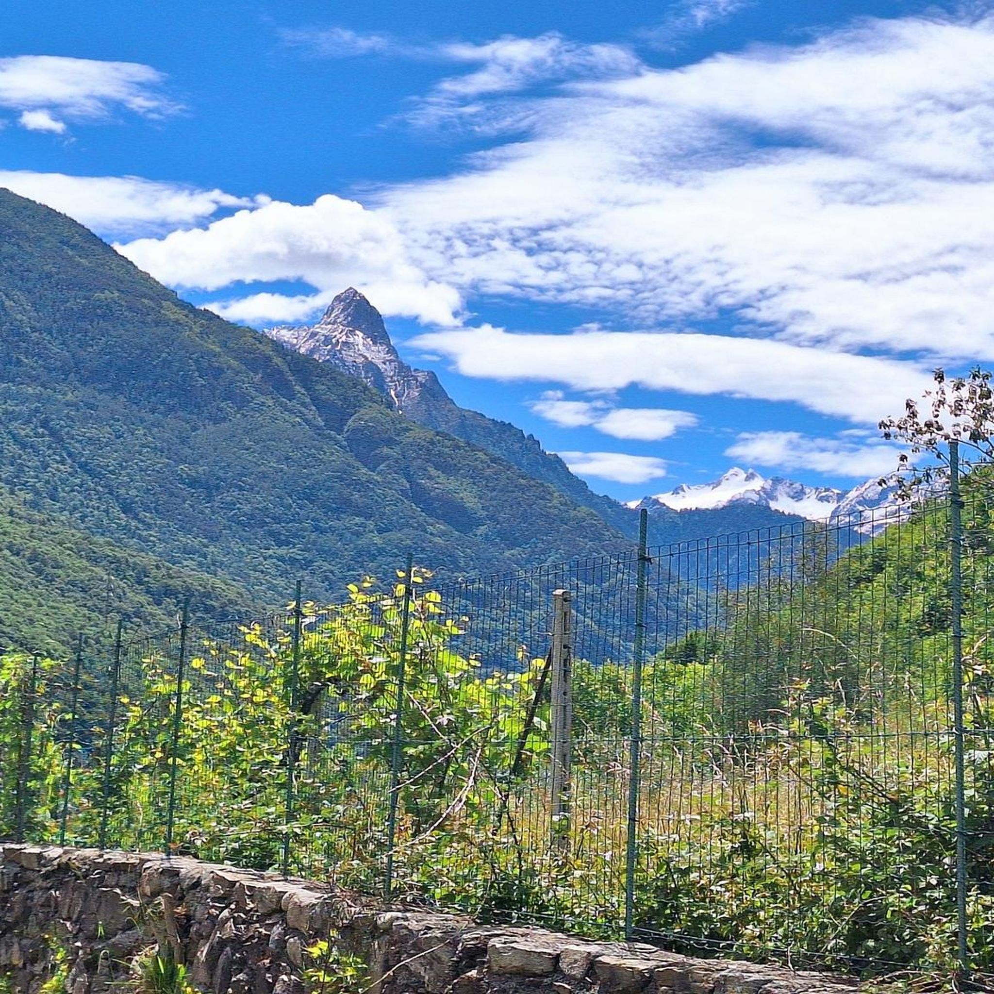
Jogging routes Sellero offer a diverse range of terrains within the Valcamonica region, characterized by Alpine meadows and extensive forest trails. The area features varied landscapes, from accessible paths suitable for casual runners to challenging routes with significant elevation gains through high-alpine terrain. Sellero's location provides access to protected natural areas, including parts of Stelvio National Park and Adamello Regional Park, which offer immersive experiences in unspoiled nature. River paths and valleys also provide flatter running options alongside water.
Best…
Last updated: August 29, 2026
27
runners
12.1km
01:50
720m
720m
Hard run. Very good fitness required. Sure-footedness, sturdy shoes and alpine experience required.
24
runners
20.8km
02:41
890m
890m
Hard run. Very good fitness required. Sure-footedness, sturdy shoes and alpine experience required.

Sign up for free
19
runners
27.4km
04:43
1,910m
1,910m
Hard run. Very good fitness required. Sure-footedness, sturdy shoes and alpine experience required.
16
runners
6.44km
00:41
50m
50m
Moderate run. Good fitness required. Mostly paved surfaces. Suitable for all skill levels.
14
runners
18.9km
02:37
750m
750m
Hard run. Very good fitness required. Sure-footedness, sturdy shoes and alpine experience required.
Get access to more routes and recommendations from other explorers.
Sign up for free
Already have an account?
Our route recommendations are based on thousands of hikes, rides, and runs completed by other people on komoot.
Start today with a free account
Your next adventure awaits.
Login or Signup
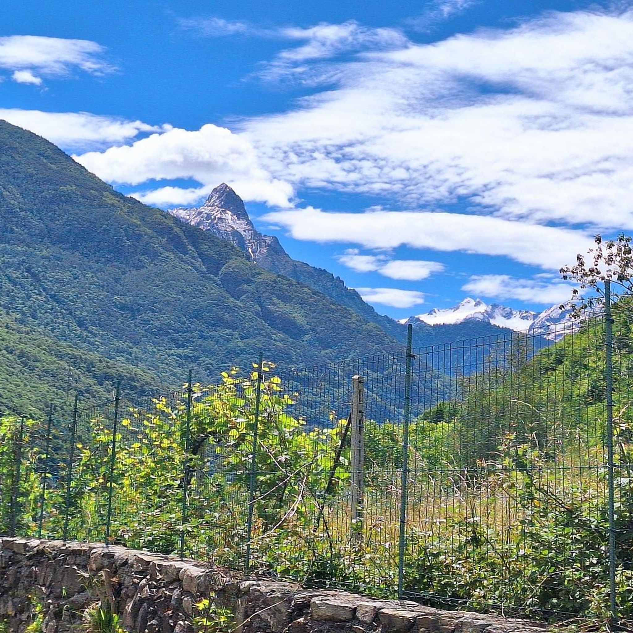
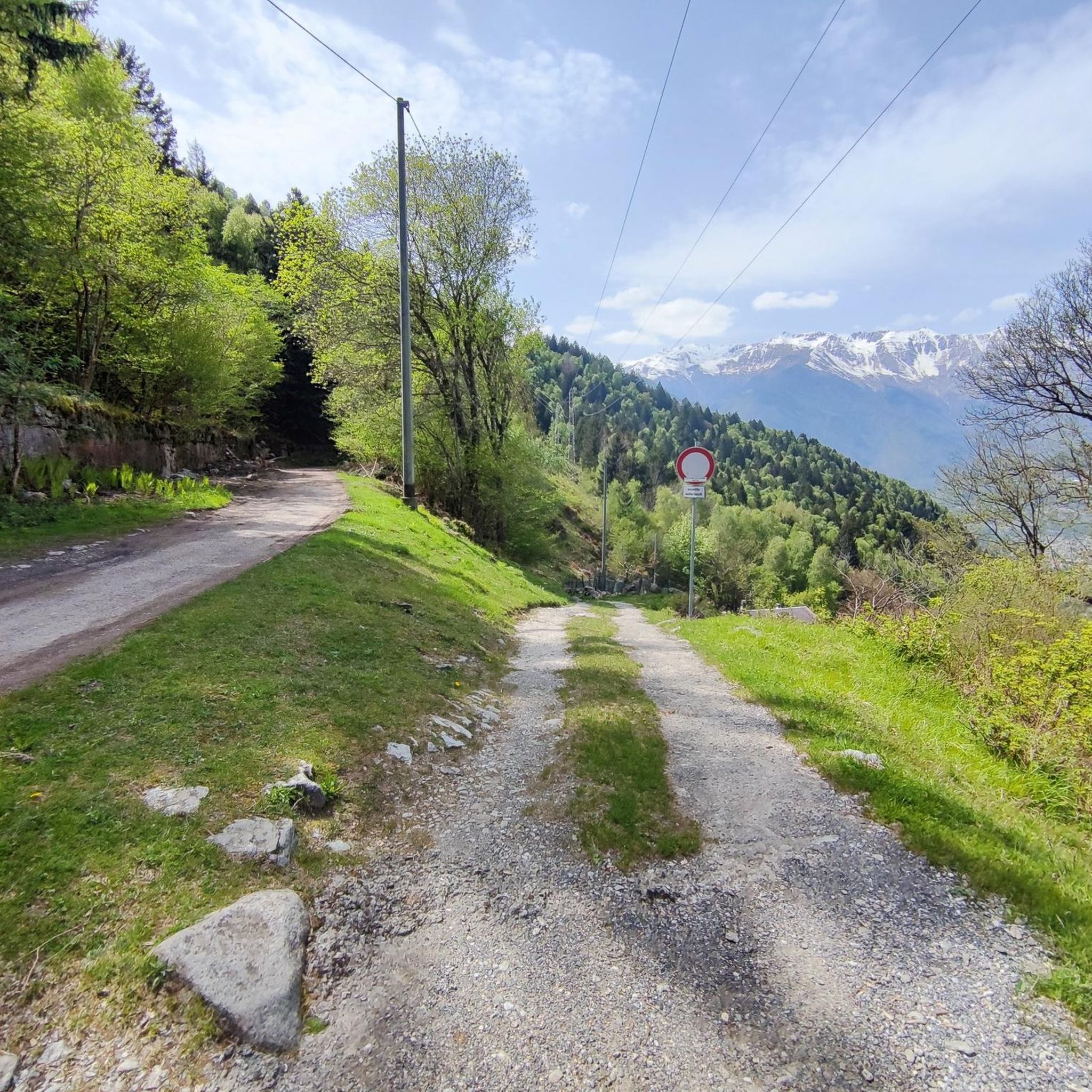
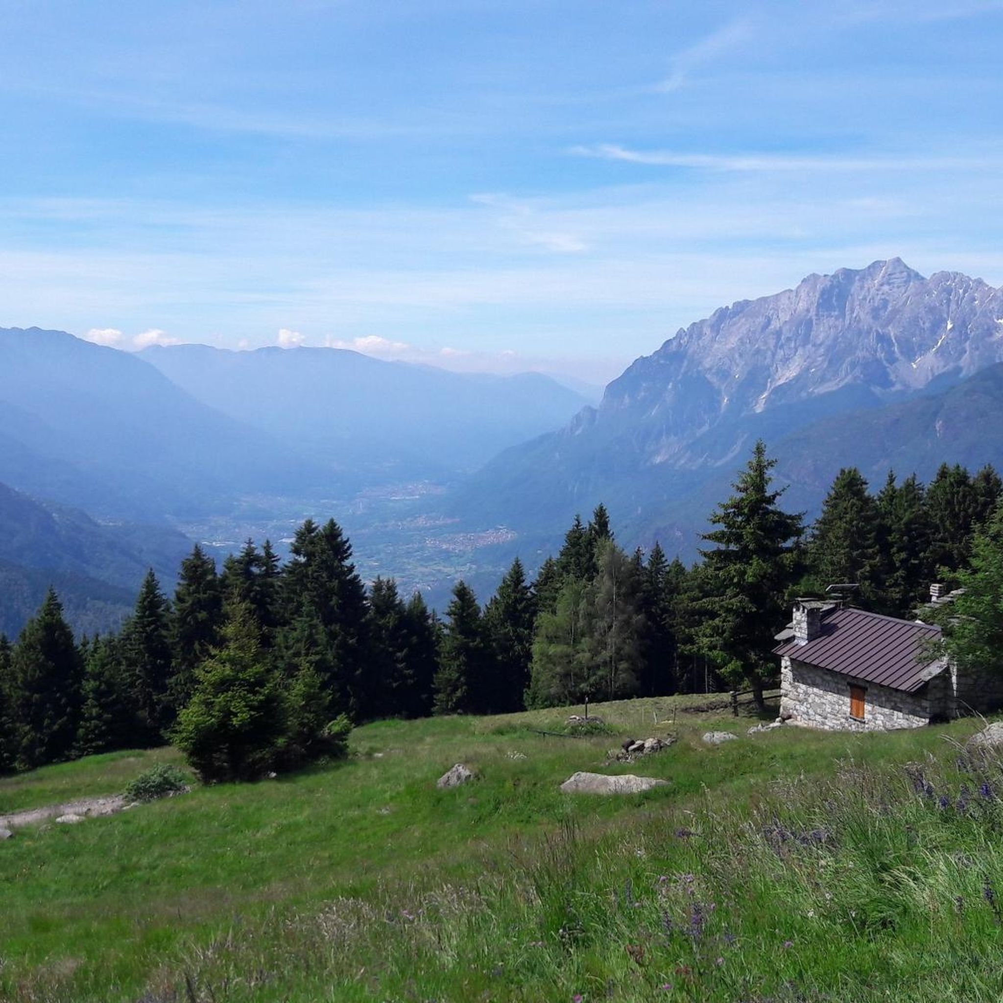
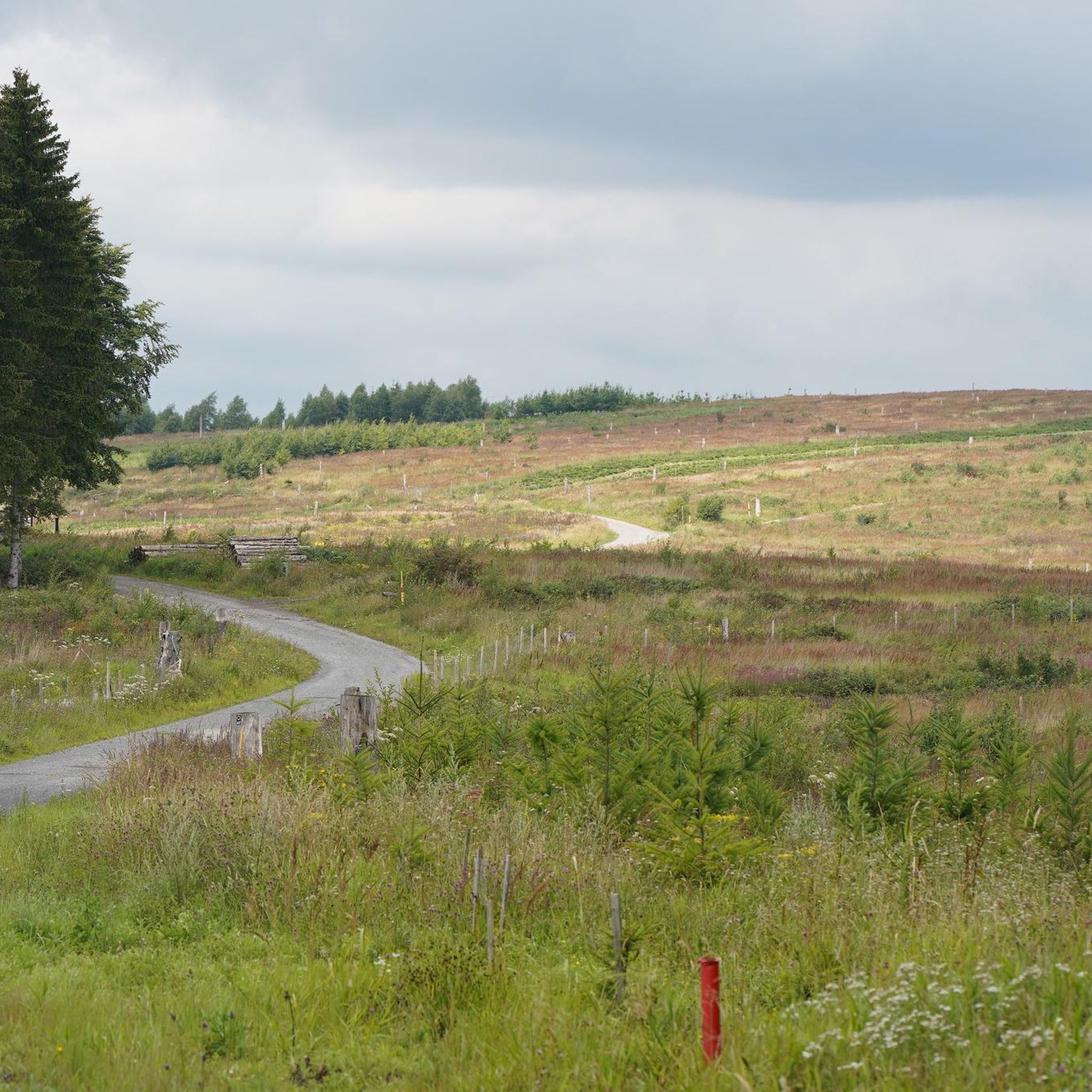

Tips from the Community

The Rifugio Colombé is a highly appreciated mountain hut above Paspardo (Valcamonica), easily accessible and perfect for a scenic hike. It is located at an altitude of 1710 m and offers access to numerous itineraries towards Monte Colombé, Passo della Porta, Lago d’Arno, and the rock art area. 📍 Location - Location: Monte Colombé, Paspardo (BS) - Coordinates: 46.04454 N, 10.38432 E - Useful address: Via Zumella, Paspardo (most common starting point) 🥾 How to get there From Paspardo – CAI Trail 117 / 127 - Departure: Via Zumella – Centro Faunistico del Parco dell’Adamello (1100 m) - Arrival: Rifugio Colombé (1710–1850 m, depending on sources) - Elevation gain: ~750 m - Time: 1h40 – 2h30 - Difficulty: E (Hiking) The path is well-marked, starts in the woods, and then opens up to panoramic clearings with views of Valcamonica. From Cimbergo - Time: ~3h - Elevation gain: ~850 m 🏔️ What to see and do in the surroundings - Monte Colombé - Cima Barbignaga (2367 m) - Passo della Porta (connection towards Lago d’Arno) - Corno delle Pile (2899 m) - Pizzo Badile Camuno (2435 m) - Rock art sites of the Adamello Park 🛖 The hut - Manager: Massimo Alessandria - Phone: 366 503 3070 - Email: info@rifugiocolombe.it / massimo@rifugiocolombe.it - Beds: 35–37 - Lunch seats: ~90 indoors + 50 outdoors - Opening: often on request (always check) - Half board: €55–60 The hut is known for: - home-style cooking - warm welcome - splendid panoramic terrace overlooking Valcamonica
0
0

Rifugio Colombè, at 1,720 m, is located in Valcamonica and offers typical local cuisine and hospitality in a family atmosphere. Overnight stays are also possible with 37 beds. Starting point for excursions to Monte Colombè and Concarena, with a view of the Adamello group and Pizzo Badile Camuno. To check opening times, visit the refuge page: https://www.facebook.com/p/Rifugio-Colombé-100088546332468/
1
0


Spectacular view and excellent cuisine with truly friendly staff.
0
0
The refuge, built in the 1930s, is located at the base of the Volano basin, a splendid plateau enclosed like an amphitheater between the Colombè crests, the Badile Camuno peak and the Tredenus peaks.
0
0

The Colombé Refuge is immersed in a setting of fantastic mountains such as the Concarena and the Eastern Orobies. It has a clean and wide view over the entire Camonica Valley, on clear days you can even glimpse Lake Iseo in the background.
0
0

The De Marie al Volano refuge, located in the middle Valle Camonica, starting from Cimbergo, inside the Adamello Park. Located in the suggestive Volano basin, surrounded by the spectacular Tredenus group and, to the south, with Pizzo Badile Camuno.
0
0

Enduro downhill trails from Malga Tambione, recommended ascent by e-bike due to the steep gradient of 22% on average, excellent downhill riding ability on natural trails, they are not for the exclusive use of bikers.
0
0
Frequently Asked Questions
How many running routes are available around Sellero?
There are over 60 running routes around Sellero, offering a wide variety of options for different fitness levels and preferences. These trails traverse Alpine meadows, dense forest paths, and river valleys within the picturesque Valcamonica region.
What types of terrain can I expect on the jogging trails in Sellero?
The jogging trails in Sellero and the broader Valcamonica region feature diverse terrain. You'll find paths through stunning Alpine meadows and lush forest trails, offering views of the majestic Adamello peaks. There are also relatively flatter river paths, particularly around areas where rivers converge, providing a different scenic perspective.
Are there running routes suitable for beginners or those looking for an easy jog?
Yes, while many routes offer challenging ascents, Sellero also has accessible paths suitable for any fitness level. These easier trails are perfect for casual joggers or those seeking a gentler run through the beautiful natural surroundings.
Can I find circular running routes in Sellero?
Yes, many of the running paths around Sellero are circular, allowing you to start and finish at the same point. An example is the challenging Running loop from Berzo Demo, which covers over 11 km.
What kind of natural landmarks or points of interest can I see along the running trails?
The trails around Sellero offer access to protected natural areas, including parts of Stelvio National Park and Adamello Regional Park, rich in diverse vegetation and wildlife. You might also encounter historic waypoints. Notable nearby attractions include Campione Hut and Vivione Pass, which can be points of interest on longer runs.
What do other runners say about the trails in Sellero?
The running routes in Sellero are highly rated by the komoot community, with an average score of 4.6 stars from over 9 reviews. Runners often praise the varied terrain, from Alpine meadows to dense forest trails, and the immersive experience in unspoiled nature.
Are there any challenging mountain running trails for experienced runners?
Absolutely. For experienced runners, Sellero offers numerous difficult routes with significant elevation gains through high-alpine terrain. An example is the De Marie al Volano Hut – Volano Chapel loop from Paspardo, a 27.4 km trail through challenging mountain terrain.
Is Sellero a good destination for family-friendly jogging or walks?
Yes, the region offers a mix of trails, including easily-accessible paths suitable for any fitness level. These gentler routes through Alpine meadows and forests can be ideal for families looking to enjoy a leisurely jog or walk together in nature.
What is the best season for running in Sellero?
The diverse landscapes of Sellero and Valcamonica make it suitable for running across multiple seasons. Alpine meadows and forest trails are particularly refreshing in warmer months, while the protected natural areas offer beauty year-round. Always check local weather conditions, especially for high-alpine routes.
Are dogs allowed on the running trails in Sellero?
While specific regulations can vary by trail, many outdoor areas in Valcamonica, including parts of protected natural parks, are generally dog-friendly. It's always recommended to keep dogs on a leash and follow local guidelines to protect wildlife and ensure a pleasant experience for everyone.
Where can I park when accessing running trails in Sellero?
Parking availability can vary depending on the specific trailhead. Many routes, especially those starting from villages like Cedegolo or Paspardo, typically have designated parking areas nearby. It's advisable to check the starting point of your chosen route for specific parking information.
Are there options for public transport to reach the trailheads?
Sellero is part of the Valcamonica region, which has some public transport connections. While direct access to every trailhead might require a short walk or local transfer, major villages often have bus services. For specific routes, researching local bus schedules to the nearest town or village is recommended.
Most popular attractions around Sellero

Get inspired with the komoot mobile app


Explore more
Browse the best Running Trails & Routes in other regions.
