The 20 Most Amazing Peaks around Bienno
Best mountain peaks around Bienno offer diverse landscapes and elevated natural attractions. Bienno, a medieval village in Valle Camonica, Italy, serves as a base for exploring the surrounding mountainous terrain. The area features a variety of peaks, from challenging alpine ascents to scenic trails, providing numerous viewpoints. These natural features contribute to the region's appeal for outdoor activities.
Best mountain peaks around Bienno
- The most popular mountain peaks is Campelli Pass, a mountain pass at 1,889 meters above sea…
Last updated: July 7, 2026
Campelli Pass
Highlight • Mountain Pass
Translated by Google •
Tip by

Mount Altissimo
Highlight • Summit
Showing Translation
Tip by

Sign up now to discover places like this
Get recommendations on the best single tracks, peaks, & plenty of other exciting outdoor places.
Sign up for free
Tita Secchi Hut
Highlight • Mountain Hut
Translated by Google •
Tip by

Monte Altissimo – Borno Ski Area
Highlight • Mountain Hut
bornoskiarea.it
Translated by Google •
Tip by

Bivacco Blumone
Highlight • Mountain Hut
Translated by Google •
Tip by

Sign up for free to discover even more peaks around Bienno.
Sign up for free
Already have an account?
Start today with a free account
Your next adventure awaits.
Login or Signup
Popular around Bienno
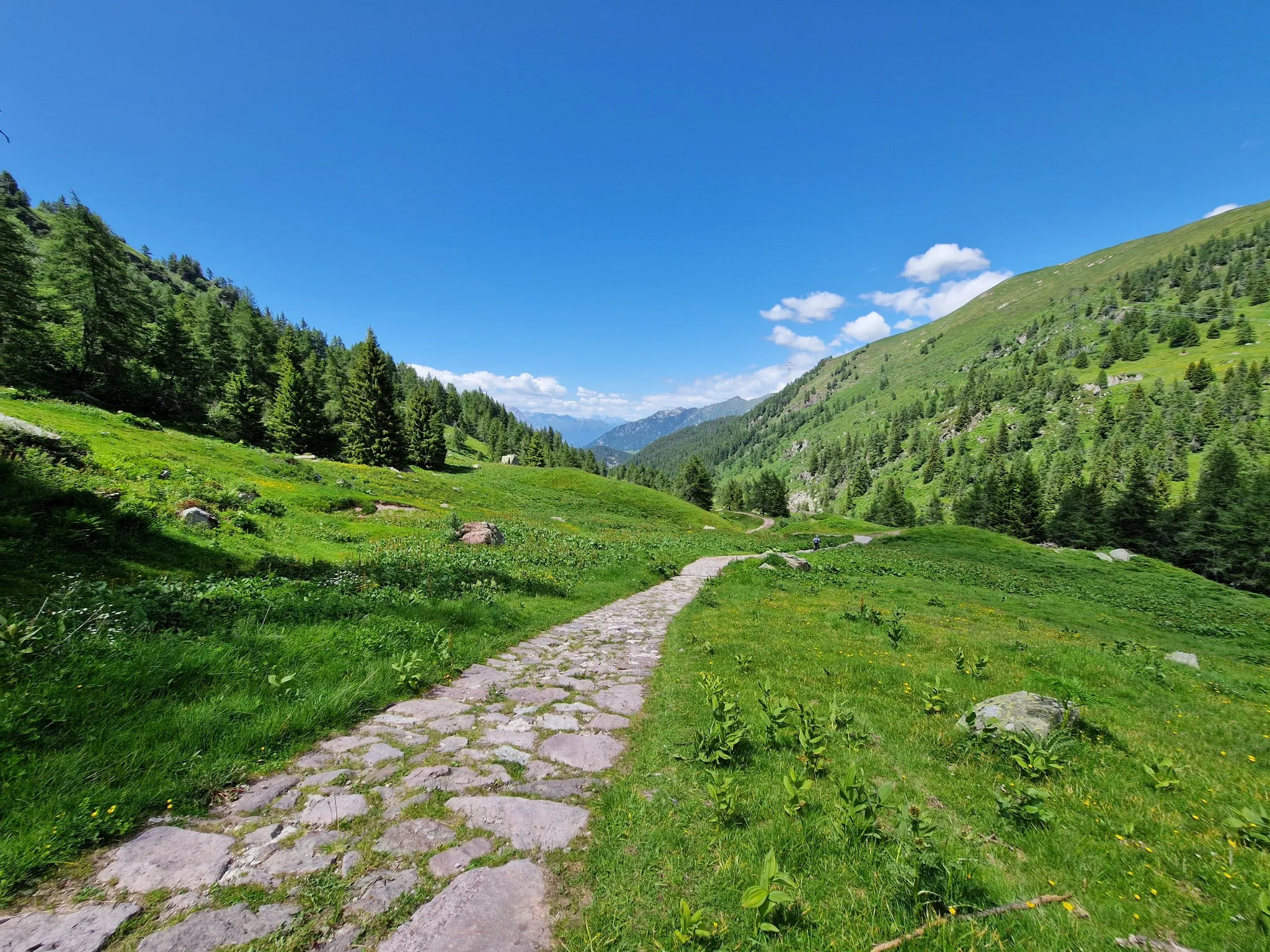
Adventure in Val Camonica – CamminaForeste in Lombardia part 3
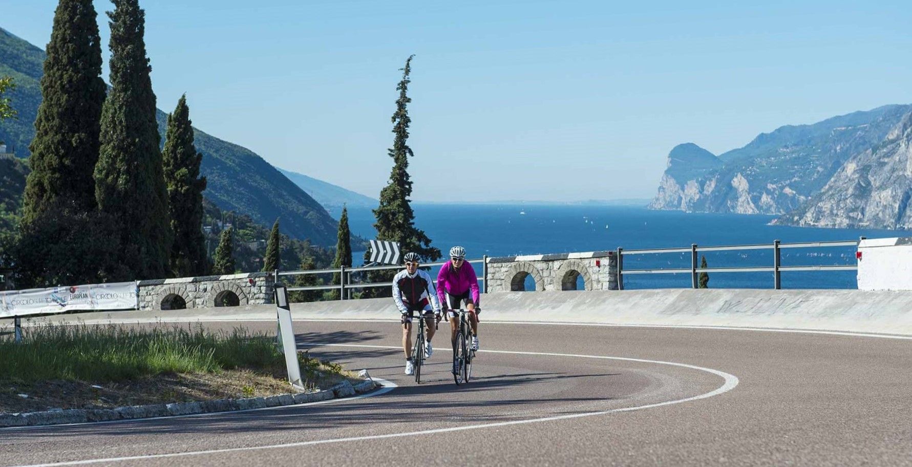
Lakeside paradises and great climbs – seven rides between Lakes Garda and Iseo
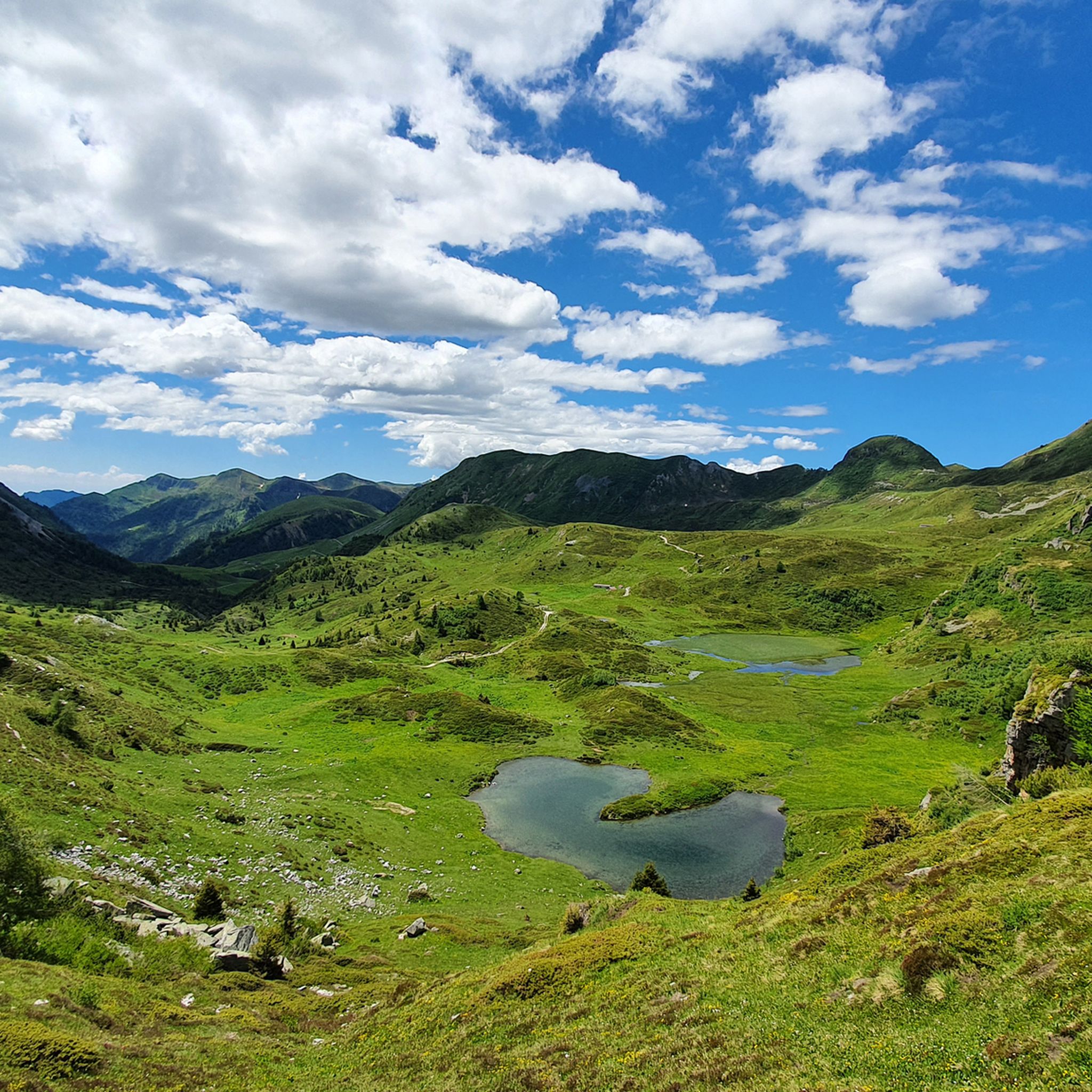
Hiking around Bienno
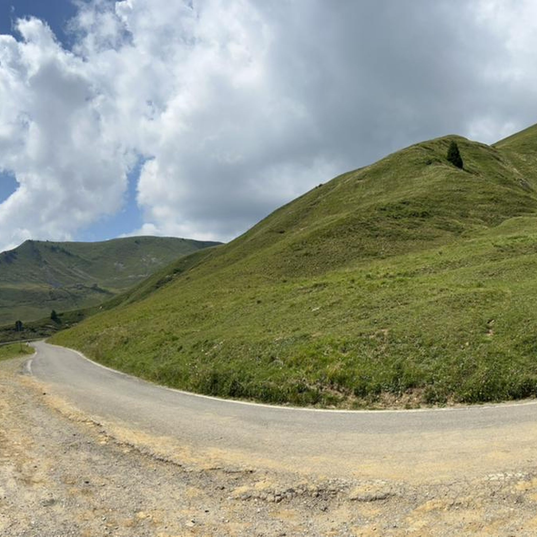
Road Cycling Routes around Bienno
MTB Trails around Bienno
Cycling around Bienno
Gravel biking around Bienno
Running Trails around Bienno

Mountain Hikes around Bienno


Tips from the Community

21-06-26 Borno Ski Arena : chairlift closed / refuge closed ...I do not agree with this choice even though work is planned for the renovation of the structures, in the official communications from the municipality it was clearly written that they would not affect the normal running of the services...
0
0

🏔️ Monte Altissimo (Val Camonica) — Identity and main characteristics Monte Altissimo is a mountain in the Bergamo Prealps, 1703 m high, located between the lower Val Camonica and the lower Val di Scalve. It is the highest peak in the mountain group that separates these two valleys and overlooks the Borno plateau. Two very different sides Southern side: steep, rocky, almost devoid of vegetation, with a difference in altitude of about 1500 m from the Oglio valley floor. Northern side: gentle slope towards Borno, covered with fir trees and dotted with mountain huts, chalets and ski slopes of the Borno Ski Area. 🚶♂️ Hiking — The main itineraries Monte Altissimo is very popular with hikers thanks to the good network of trails (difficulty E). Here are the best-known and documented routes. 1) From Erbanno – Trail 197 or 155 A steep and challenging itinerary, with a significant difference in altitude. Trail 197: Start: Erbanno (Darfo Boario Terme) Passes through: small church of San Valentino (690 m), Malga Mine, junction with trail 194 From the cross: spectacular view of the lower Val Camonica and Lake Iseo Summit reachable in 15 minutes from the final junction Trail 155 (more direct and strenuous): Difference in altitude: about 1460 m Steep sections, some chains on a slightly exposed traverse Remarkable panorama over the meadows of the “Segable” Arrival at the Monte Altissimo refuge and the ski lifts 2) From Gorzone – Trail 154 A wilder route on the south side, with a long and tough climb. 3) From Borno – North side (ski slope areas) A gentler and more panoramic itinerary, often chosen for loop tours that include refuges, mountain huts and small churches (as in your story). 🏞️ What makes Monte Altissimo special Sharp contrast between the two sides: one severe and rocky, the other gentle and wooded. Wide panoramas of the lower Val Camonica, Lake Iseo and Presolana. Network of mountain huts and chalets still active in summer. Presence of the Monte Altissimo refuge at the summit, also reached by ski lifts. Possibility of very varied loops, combining woods, slopes, ridges and small isolated churches.
0
0
Mount Altissimo is a mountain in the Bergamo Prealps, 1703 m high, located between the lower Val Camonica and the lower Val di Scalve. It is the highest peak of the mountain group that separates these two valleys and overlooks the Borno plateau. Two very different slopes Southern slope: steep, rocky, almost devoid of vegetation, with a difference in altitude of about 1500 m from the Oglio valley floor. Northern slope: gentle slope towards Borno, covered with fir trees and dotted with mountain huts, chalets and ski slopes of the Borno Ski Area. 🚶♂️ Hiking — The main itineraries Mount Altissimo is very popular with hikers thanks to the good network of trails (difficulty E). Here are the best-known and documented routes. 1) From Erbanno – Trail 197 or 155 A steep and challenging itinerary, with a significant difference in altitude. Trail 197: Start: Erbanno (Darfo Boario Terme) Passes through: small church of San Valentino (690 m), Malga Mine, junction with trail 194 From the cross: spectacular view of the lower Val Camonica and Lake Iseo Summit reachable in 15 minutes from the final junction Trail 155 (more direct and strenuous): Difference in altitude: about 1460 m Steep sections, some chains on a slightly exposed traverse Remarkable panorama of the meadows of "Segable" Arrival at the Monte Altissimo refuge and the ski lifts 2) From Gorzone – Trail 154 A wilder route on the south side, with a long and tough climb. 3) From Borno – North slope (ski slope areas) A gentler and more panoramic itinerary, often chosen for loop tours that include refuges, mountain huts and small churches (as in your story). 🏞️ What makes Mount Altissimo special Sharp contrast between the two slopes: one severe and rocky, the other gentle and wooded. Wide panoramas of the lower Val Camonica, Lake Iseo and Presolana. Network of mountain huts and chalets still active in summer. Presence of the Monte Altissimo refuge at the summit, also reached by ski lifts. Possibility of varied loop tours, combining woods, slopes, ridges and small isolated churches.
0
0
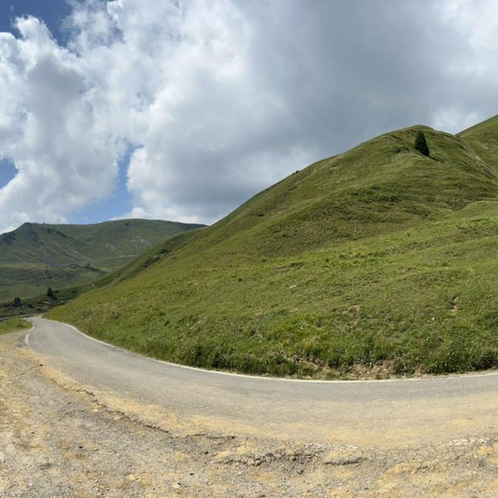
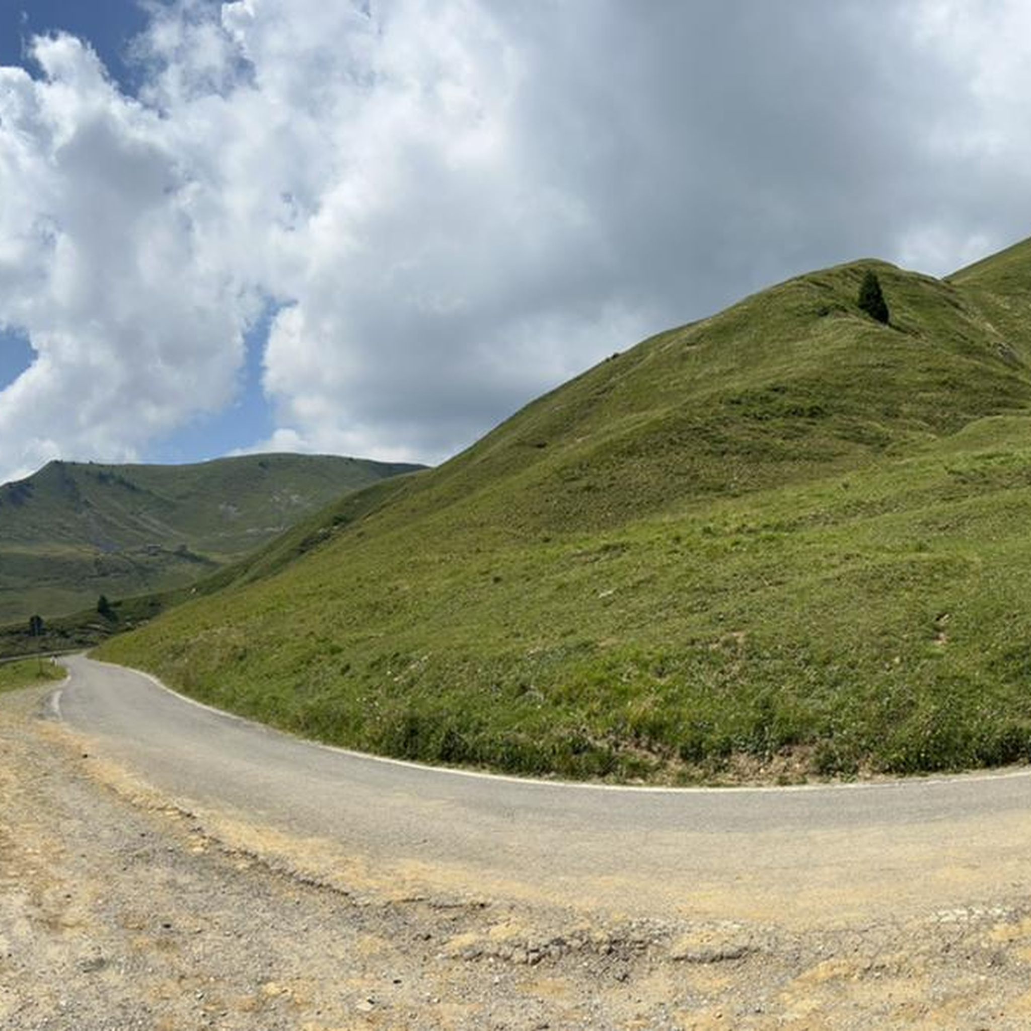
The Campelli Pass is an Alpine pass at approximately 1,892 meters above sea level that connects the Scalve Valley (province of Bergamo) with the Camonica Valley (province of Brescia). It is a popular hiking destination for its scenic beauty and the variety of available itineraries. 🏔️ Main Features Location: Between Schilpario (BG) and Cerveno (BS) Elevation: approximately 1,892 m View: Spectacular view of Cimon della Bagozza and the Piccole Dolomiti Scalvine Access: From Schilpario – Fondi: winter route for snowshoeing or ski mountaineering From Schilpario – Baracca Rossa: shorter and more scenic summer route From Ono San Pietro (BS): longer and more challenging route 🚶♂️ Recommended Activities Summer Hiking: Well-marked trails, also suitable for families Winter Snowshoeing: Safe and picturesque itineraries in the snow Mountain Biking: Technical and scenic routes, with stops at the Campione Refuge and Campelli Lake 📍 Nearby Points of Interest Campione Refuge: Not far from the pass, offers refreshments and overnight accommodations Campelli Lake Campelli: a small Alpine lake, ideal for a break Madonnina dei Campelli: a panoramic and spiritual point along the route
0
0

The soldiers' path, a long ledge that can be cycled on, very fun, a little exposed. Arrival at the Tita Secchi hut with a short portage section
0
0

From the refuge a splendid panorama
0
0

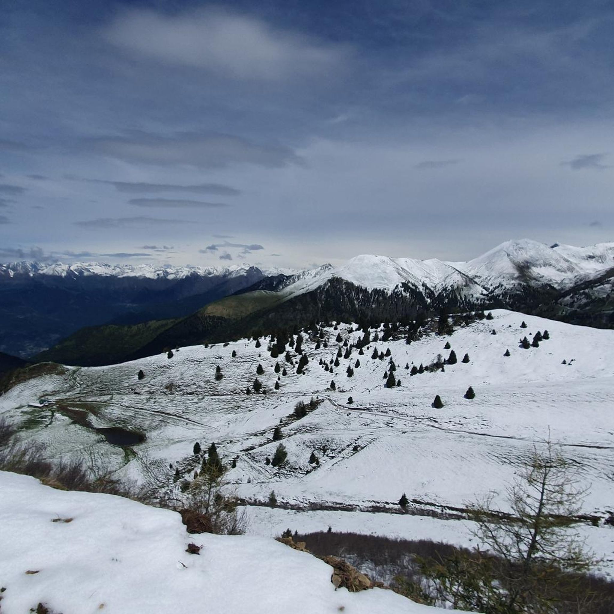
Splendid view of Cimon Bagozza, Scalve Valley and Valcamonica
0
2

The bivouac is located near Cima Caldoline and can be reached either by mountain bike along the mountain pines path
0
0
Frequently Asked Questions
What are some of the most notable mountain peaks and natural attractions around Bienno?
Bienno is surrounded by diverse mountain peaks and elevated natural attractions. Notable spots include Campelli Pass, offering views of the Scalve and Camonica valleys, and Monte Ario, known for its 360-degree panorama. Other significant peaks mentioned in the region are Maddalena Hill with its Cristo Re statue, Cerreto Mountain with land art installations, Monte Stabio, Monte Frerone, Pizzo Camino, and Monte Altissimo near Borno.
Are there any family-friendly mountain areas or easy hikes near Bienno?
Yes, Maddalena Hill, overlooking Bienno, is easily accessible and offers a blend of art, history, and panoramic views, making it suitable for families. Cerreto Mountain/Park also features a network of paths catering to various hiking levels, including easier trails through its rich woods and unique land art installations like "Rocco, the giant Owl" which serves as a panoramic viewpoint.
What kind of views can I expect from the mountain peaks around Bienno?
The mountain peaks around Bienno offer spectacular panoramic views. From Monte Ario, you can enjoy a 360-degree vista including Valle Trompia, Passo della Maniva, and Lake Garda. Campelli Pass provides remarkable views of both the Scalve and Camonica valleys. Monte Frerone offers expansive 360-degree views from its summit, while Pizzo Camino provides vast panoramas of the Prealps, Orobie, and Retiche mountain ranges.
Are there challenging mountain routes for experienced hikers near Bienno?
Yes, several peaks offer challenging routes. Monte Stabio (2,536m) involves a significant elevation gain and exposed sections near the summit, rated EEX. Monte Frerone (2,673m) includes equipped sections with chains. Pizzo Camino (2,492m) is known for its strenuous hiking experience with technical sections and a demanding scree descent. These routes require sure-footedness and experience.
What unique natural features or landmarks can be found on these mountains?
The region boasts several unique features. Maddalena Hill is home to the impressive 8-meter-tall golden statue of Christ the King and a suffrage chapel with frescoes. Cerreto Mountain features the "Quercus Woods" with land art installations and the ancient "Preda de l'altar," a massive granite boulder believed to be a druid ritual site. Monte Stabio's Valle di Stabio is known as the "Paradise of Botanists" due to its rare floral varieties. Monte Frerone's landscape showcases a fascinating interaction between calcareous and siliceous rocks, resulting in splendid flowerings.
What outdoor activities, besides hiking, can I do near the mountain peaks of Bienno?
The area around Bienno offers a variety of outdoor activities. For cycling enthusiasts, there are routes like the "Montecchio Roman Bridge loop" or the "View of Val Camonica loop" which can be explored via the Cycling around Bienno guide. Mountain biking is popular, with trails such as the "Climb to Cerreto" or the "Cristo Re di Bienno loop" detailed in the MTB Trails around Bienno guide. In winter and spring, Campelli Pass is excellent for ski mountaineering and snow excursions, and Monte Frerone is also a popular ski mountaineering destination.
Are there any mountain huts or bivouacs available for overnight stays?
Yes, there are mountain huts and bivouacs. The Tita Secchi Hut is a characteristic wooden bivouac with an equipped kitchen and bathroom, offering impressive panoramic views. Another option is Bivacco Blumone, a self-managed bivouac with beds, a table, and a stove, ideal for spending a night in the mountains.
What is the best time of year to visit the mountain peaks around Bienno?
The mountain peaks around Bienno can be enjoyed in various seasons. Spring and summer are ideal for hiking and mountain biking, with lush flora and pleasant weather. Autumn offers beautiful foliage. Winter and spring are particularly suitable for ski mountaineering and snow excursions, especially around Campelli Pass and Monte Frerone, when the environment is spectacular with snow.
Where can I find hiking trails for mountaineering near Bienno?
For mountaineering, you can find various routes in the area. Examples include the "Blumone Bivouac – Lago della Vacca loop" or the "Monte Frerone loop from Passo di Crocedomini." More options are available in the Mountain Hikes around Bienno guide, which details routes with varying distances and difficulty levels.
What historical or cultural sites are integrated into the mountain landscape?
Maddalena Hill features the impressive golden statue of Christ the King and a suffrage chapel adorned with frescoes attributed to Paolo di Cailina, as well as wooden sculptures by the Fantoni school. Cerreto Mountain holds historical significance with the "Preda de l'altar," a massive granite boulder believed to have been a holy site for druid rituals. These sites offer a blend of natural beauty and cultural heritage.
What do visitors enjoy most about the mountain peaks around Bienno?
Visitors frequently highlight the magnificent panoramic views, such as the 360-degree vista from Monte Ario. The diverse landscapes, from challenging alpine ascents to scenic trails, are also highly appreciated. The unique cultural elements like the Cristo Re statue on Maddalena Hill and the land art in Cerreto Mountain add to the appeal, providing a complete immersion in nature, history, and art.
Is there a mountain peak that offers both winter sports and summer hiking opportunities?
Yes, Monte Altissimo, located near Borno, is associated with the Borno ski resort, providing excellent winter sports opportunities. In summer, it transforms into a popular destination for hiking and mountain biking, with challenging circular routes and panoramic views. A gondola is also available for less strenuous access to the top during summer.
Most popular routes around Bienno
Most popular attractions around Bienno

Get inspired with the komoot mobile app


Explore more
See even more amazing summits around Bienno with these guides:
