Top 20 Mountain Passes around Gianico
Best mountain passes around Gianico are found in Val Camonica, Brescia, Lombardy, Italy. This region is characterized by its mountainous terrain, offering diverse landscapes for outdoor activities. Gianico serves as a gateway to several notable passes that provide challenging ascents, panoramic views, and exhilarating descents. The area combines natural beauty with historical and cultural elements, such as ancient roads and historical markers.
Best mountain passes around Gianico
- The most popular mountain passes is Presolana Pass, a mountain pass that…
Last updated: August 20, 2026
Presolana Pass
Highlight • Mountain Pass
Translated by Google •
Tip by

Pass of the Seven Crosses
Highlight • Mountain Pass
Translated by Google •
Tip by

Sign up now to discover places like this
Get recommendations on the best single tracks, peaks, & plenty of other exciting outdoor places.
Sign up for free
Mount Altissimo
Highlight • Summit
Showing Translation
Tip by

Presolana Pass
Highlight (Segment) • Mountain Pass
Translated by Google •
Tip by
Colle di San Zeno Pass
Highlight • Mountain Pass
Translated by Google •
Tip by

Sign up for free to discover even more mountain passes around Gianico.
Sign up for free
Already have an account?
Start today with a free account
Your next adventure awaits.
Login or Signup
Tips from the Community

Ascent that crosses several very well-equipped and beautiful villages to see.
0
0

Rather unknown pass, although it has already hosted the Giro. The small road has hardly any significant car traffic and is fantastic for cycling.
0
0

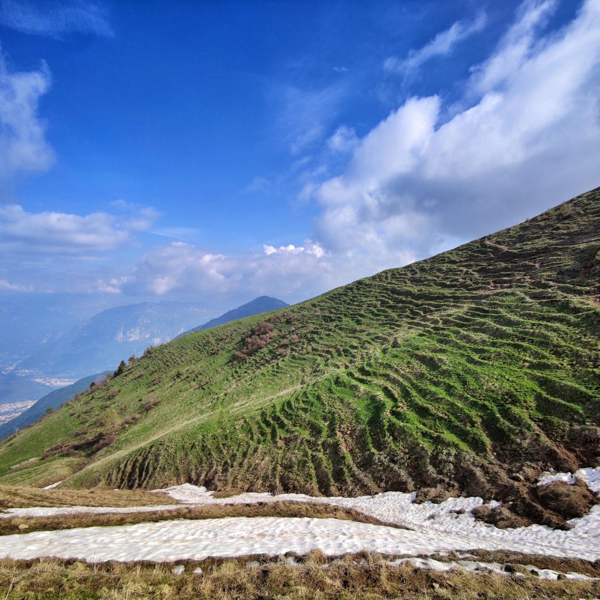
Mount Altissimo is a mountain in the Bergamo Prealps, 1703 m high, located between the lower Val Camonica and the lower Val di Scalve. It is the highest peak of the mountain group that separates these two valleys and overlooks the Borno plateau. Two very different slopes Southern slope: steep, rocky, almost devoid of vegetation, with a difference in altitude of about 1500 m from the Oglio valley floor. Northern slope: gentle slope towards Borno, covered with fir trees and dotted with mountain huts, chalets and ski slopes of the Borno Ski Area. 🚶♂️ Hiking — The main itineraries Mount Altissimo is very popular with hikers thanks to the good network of trails (difficulty E). Here are the best-known and documented routes. 1) From Erbanno – Trail 197 or 155 A steep and challenging itinerary, with a significant difference in altitude. Trail 197: Start: Erbanno (Darfo Boario Terme) Passes through: small church of San Valentino (690 m), Malga Mine, junction with trail 194 From the cross: spectacular view of the lower Val Camonica and Lake Iseo Summit reachable in 15 minutes from the final junction Trail 155 (more direct and strenuous): Difference in altitude: about 1460 m Steep sections, some chains on a slightly exposed traverse Remarkable panorama of the meadows of "Segable" Arrival at the Monte Altissimo refuge and the ski lifts 2) From Gorzone – Trail 154 A wilder route on the south side, with a long and tough climb. 3) From Borno – North slope (ski slope areas) A gentler and more panoramic itinerary, often chosen for loop tours that include refuges, mountain huts and small churches (as in your story). 🏞️ What makes Mount Altissimo special Sharp contrast between the two slopes: one severe and rocky, the other gentle and wooded. Wide panoramas of the lower Val Camonica, Lake Iseo and Presolana. Network of mountain huts and chalets still active in summer. Presence of the Monte Altissimo refuge at the summit, also reached by ski lifts. Possibility of varied loop tours, combining woods, slopes, ridges and small isolated churches.
0
0

wonderful view of the valley below
0
0

I've done it twice in the same lap, first from Desso, then after climbing Monte Pora. They're completely different. From Desso, it's long and always in double digits, with significant peaks, so take it with a pinch of salt; the other is rideable. Seeing is believing. 🚴♀️
0
0

Nice climb with fantastic views.
15
0
Long climb but with not very difficult slopes.
15
0

It is highly recommended to go there in high season on holidays. Half an hour to find parking and too many people, especially on the path that leads to the refuge. Cassinelli: unlivable.
1
0
Frequently Asked Questions
What are some of the most notable mountain passes around Gianico?
The region around Gianico offers several distinct mountain passes. For a challenging climb with fantastic views, consider the Presolana Pass. If you're interested in history and unique cultural sites, the Pass of the Seven Crosses is a must-see. For cyclists looking for a high-altitude gravel experience, the Gravel Road Between Passo Crocedomini and Passo del Maniva offers stunning moon-like scenarios.
Are there mountain passes near Gianico that are suitable for cycling?
Yes, several passes are popular with cyclists. The Presolana Pass is a classic climb, featured in many Giro stages, offering both challenging and easier sides depending on your starting point. The Gravel Road Between Passo Crocedomini and Passo del Maniva is also a beautiful stretch for various bicycles, developing around 2,000 meters above sea level with light dirt roads.
What historical or cultural landmarks can be found on the mountain passes?
The Pass of the Seven Crosses is particularly rich in history. It's an ancient road connecting Val Trompia and Val Grigna, featuring a dry stone wall, seven iron crosses, and a boundary stone from 1688. Legends of witchcraft and mountain piety associated with tragic events add to its intriguing character.
What kind of views can I expect from the mountain passes around Gianico?
The mountain passes in this region are known for their rewarding panoramic views. For instance, the Presolana Pass offers spectacular vistas once you reach the top. The Croce di Salven Pass also provides beautiful scenery as it connects the Scalve valley with the Borno plateau.
Are there any less challenging mountain passes for a more relaxed experience?
The Croce di Salven Pass is described as a very pleasant climb from Val di Scalve to Borno, beautiful and not particularly challenging, making it a good option for a more relaxed experience. It sits at an altitude of 1,108 meters.
What outdoor activities can I do near the mountain passes around Gianico?
Beyond exploring the passes themselves, the area offers a variety of outdoor activities. You can find numerous hiking trails, including routes like 'Lake Iseo viewpoints via ancient Valeriana route' or 'Sentiero dei Roselli to Bivacco Marino Bassi'. There are also MTB trails and cycling routes available.
What is the best time to visit the mountain passes near Gianico?
While specific seasonal advice for all passes isn't provided, generally, the warmer months from late spring to early autumn (May to October) are ideal for hiking and cycling in mountainous regions like this, offering pleasant weather and clear trails. Some passes, like the Presolana Pass, are noted as being open year-round, but winter conditions will require appropriate gear like crampons for hiking.
Are there family-friendly options for exploring the mountain passes?
While some passes offer challenging ascents, many areas around Gianico provide diverse terrain. For specific family-friendly routes, it's best to check the difficulty ratings of individual trails. Generally, passes with less steep sections or those that connect to wider, well-maintained paths, like parts of the Croce di Salven Pass area, might be more suitable for families.
What should I know about the terrain and difficulty of the mountain passes?
The terrain varies significantly. Passes like Presolana Pass feature steep sections up to 14% on its northern side, making it challenging. The Gravel Road Between Passo Crocedomini and Passo del Maniva is a light dirt road, generally manageable with various bicycles, but can be washed out in places, requiring caution. Always check current conditions and prepare for varying elevations.
Are there any specific tips for cyclists tackling these mountain passes?
For cyclists, the Presolana Pass is a classic, with a 7 km ascent from Dezzo di Scalve averaging 7% gradient, including steep sections. The Gravel Road Between Passo Crocedomini and Passo del Maniva is passable with most bikes, but wider tires (28mm+) are recommended, especially if roads are washed out, to avoid punctures.
What do visitors enjoy most about the mountain passes around Gianico?
Visitors frequently praise the challenging yet rewarding climbs, the spectacular panoramic views, and the exhilarating descents. The historical and cultural elements, such as those found at the Pass of the Seven Crosses, also add a unique dimension to the experience. The combination of natural beauty and opportunities for active outdoor pursuits makes these passes highly appealing.
Most popular routes around Gianico
Most popular attractions around Gianico

Get inspired with the komoot mobile app


Explore more
See even more epic mountain passes by checking out these guides around Gianico:
