The best running trails around Bovegno
4.7
(33)
3,216
runners
149
runs
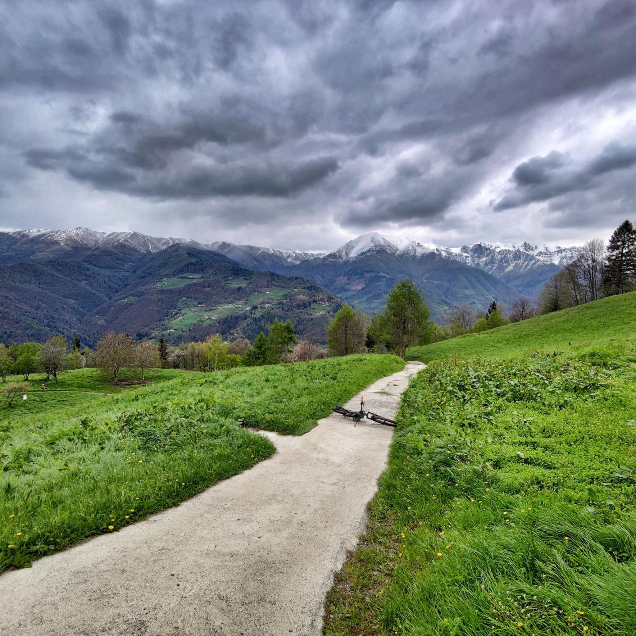
Jogging around Bovegno offers a diverse range of natural landscapes within the Upper Val Trompia, characterized by its highest mountains and unspoiled environment. The region features varied terrain, from challenging mountain trails with significant elevation gains to more accessible paths through forests and meadows. Peaks like Monte Muffetto provide panoramic views, while the Mella bike path offers dedicated routes for runners. This area in the province of Brescia, Lombardy, is well-suited for outdoor activities, including running.
Best jogging routes around…
Last updated: July 5, 2026
54
runners
26.8km
03:34
1,070m
1,070m
Hard run. Very good fitness required. Sure-footedness, sturdy shoes and alpine experience required.
37
runners
31.8km
04:54
1,700m
1,700m
Hard run. Very good fitness required. Sure-footedness, sturdy shoes and alpine experience required.

Sign up for free
14
runners
Hard run. Very good fitness required. Sure-footedness, sturdy shoes and alpine experience required.
14
runners
13.3km
01:25
160m
160m
Moderate run. Good fitness required. Mostly paved surfaces. Suitable for all skill levels.
4.0
(1)
11
runners
Hard run. Very good fitness required. Sure-footedness, sturdy shoes and alpine experience required.
Get access to more routes and recommendations from other explorers.
Sign up for free
Already have an account?
Our route recommendations are based on thousands of hikes, rides, and runs completed by other people on komoot.
Start today with a free account
Your next adventure awaits.
Login or Signup

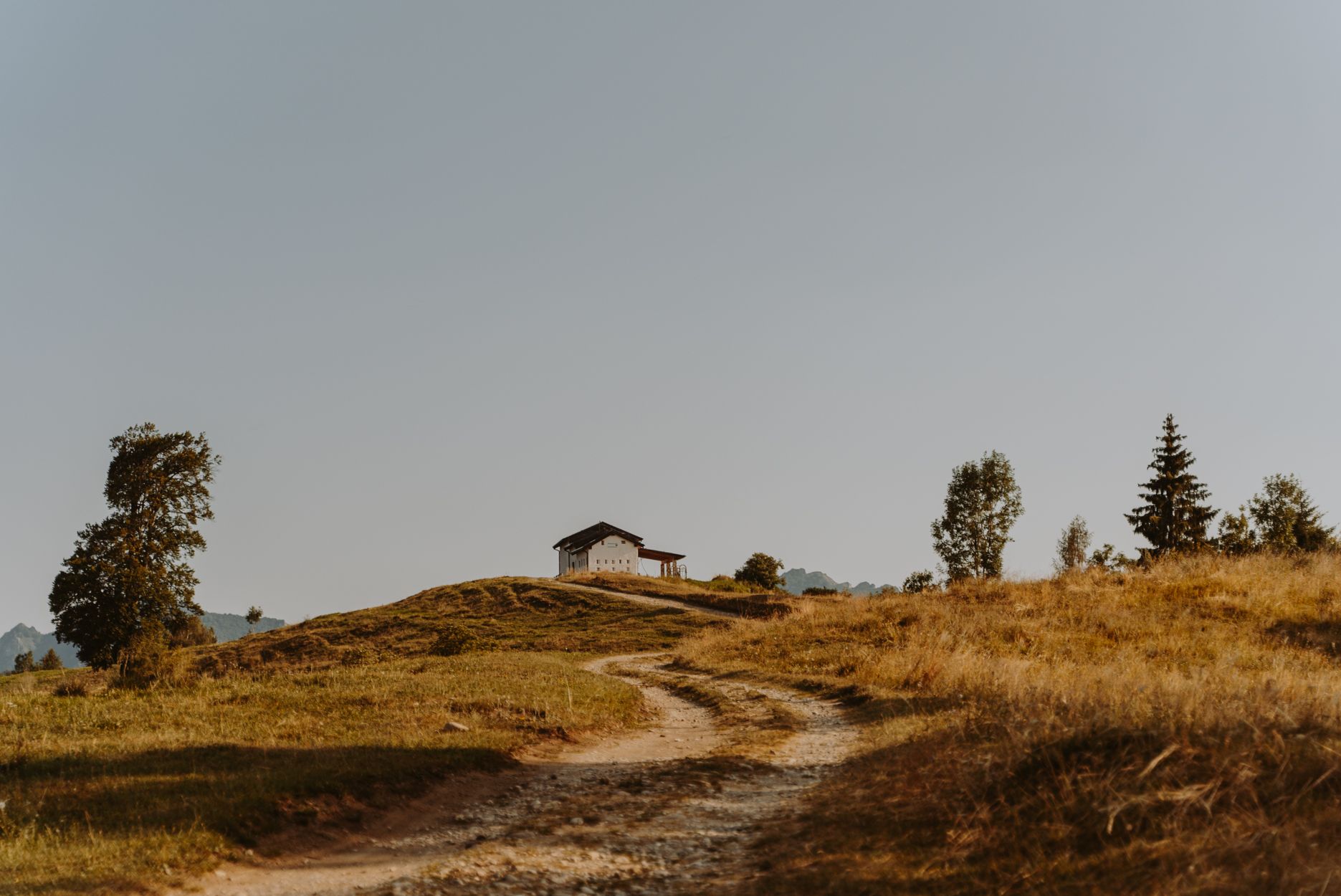
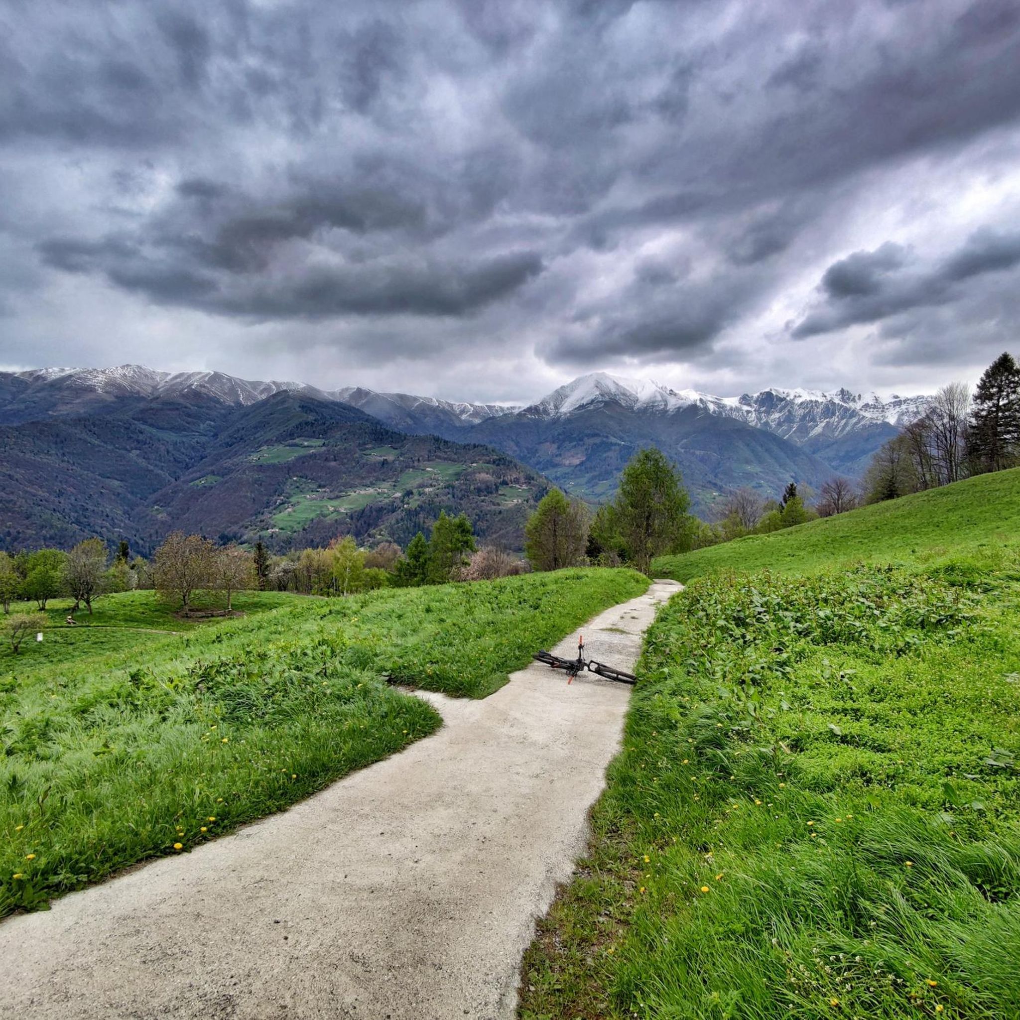
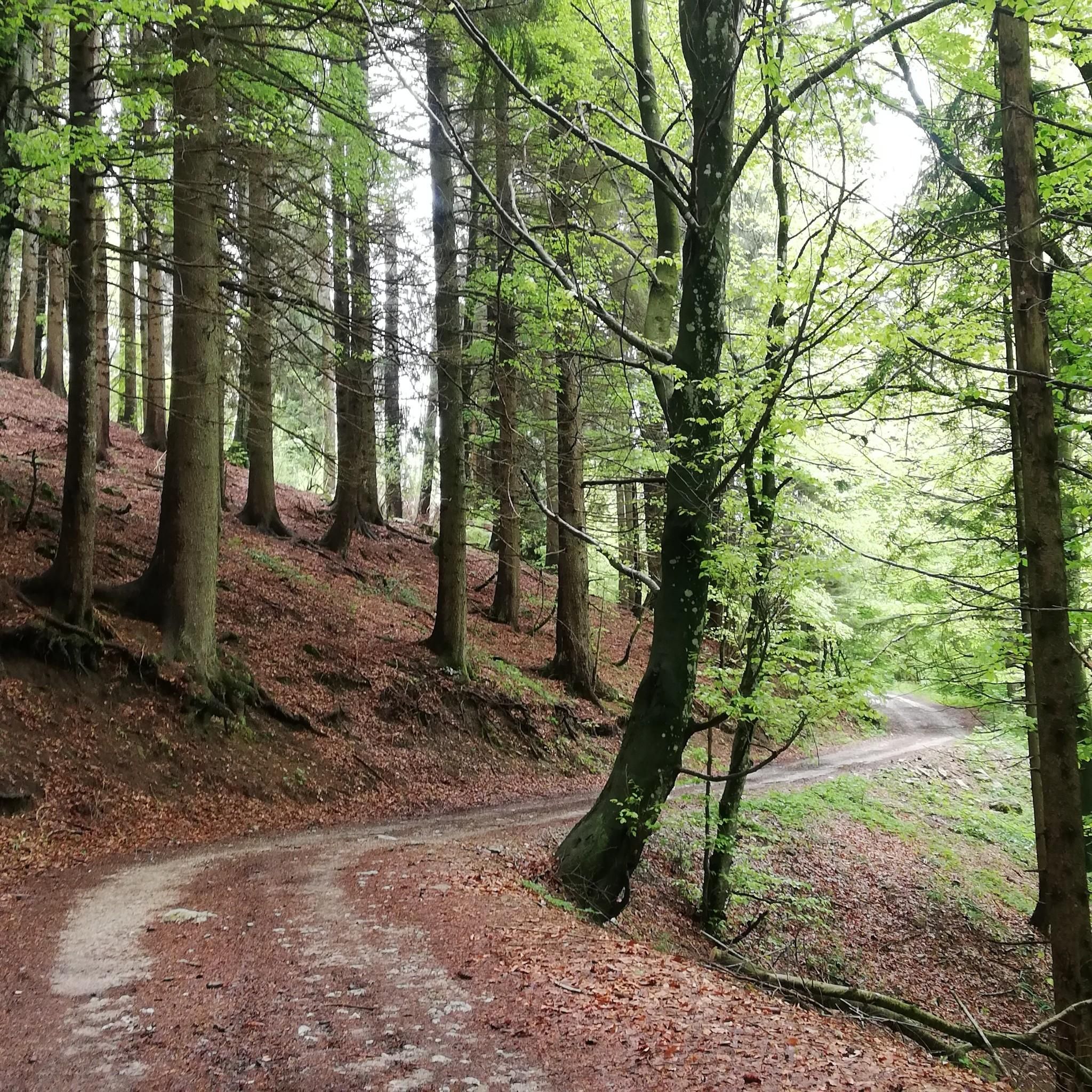



Tips from the Community

Monte Guglielmo (known in the Brescian dialect as Gölem or Culmine) is a mountain in the Brescian Prealps, 1,957 meters high. Located in Lombardy, it stretches along the mountain ridge that separates the middle Val Trompia from the basin of Lake Iseo and the lower Valle Camonica. It is the most iconic, frequented, and beloved peak by Brescian hikers.
0
0

Punta Caravina is an iconic ridge and viewpoint located at 1,850 meters above sea level in Lombardy, along the Monte Guglielmo massif (known in the Brescian dialect as Gölem or Gem). It is located in the province of Brescia, in the mountainous territory overlooking the upper Lake Iseo and the eastern shore of Val Camonica. The summit offers an extraordinary panorama stretching from the Orobie Bergamasche to the Adamello.
1
0

wonderful view of the valley below
0
0

Just north of the 1,476-meter peak of Monte Bifo, this crossroads of trails allows you to continue towards Monte Guglielmo and the Almici refuge, or continue towards Passo Lividino. The view of the surrounding mountains is remarkable.
0
0

Spectacular stretch surrounded by nature, perfect and fun surface for gravel
0
0

Beautiful view in all seasons.
0
0

Guglielmo top
0
0

Monte Guglielmo, also known as "Gölem", represents the quintessential Brescia mountains and is a very popular destination for trekking and cycling. It is accessible both from Val Trompia and from Lake Iseo, making it suitable for everyone during all seasons, without particularly exposed sections and with a moderate challenge, characterized only by short, more demanding sections. Once you reach the top, where the Redeemer monument stands, you can enjoy a 360 degree panoramic view that ranges from the plain to Lake Iseo, up to the imposing peaks of the Orobie. On the clearest days, it is even possible to glimpse the majestic Monte Rosa.
3
0
Frequently Asked Questions
How many running routes are available around Bovegno?
There are over 120 dedicated running routes around Bovegno, offering a wide range of options for all fitness levels. These include easy paths, moderate trails, and challenging mountain runs.
What kind of terrain can I expect on the running trails in Bovegno?
Bovegno's running trails offer diverse terrain, from challenging mountainous paths with significant elevation gains to more accessible routes through forests and meadows. You'll find options ranging from alpine climbs to mostly paved surfaces, catering to various preferences and skill levels. The Mella bike path also provides a dedicated, often scenic, route for runners.
What do other runners say about the trails in Bovegno?
The running routes in Bovegno are highly rated by the komoot community, with an average score of 4.6 stars from over 45 reviews. More than 3000 runners have explored the varied terrain, often praising the stunning panoramic views, the tranquility of the Lombardy mountains, and the unspoiled natural environment.
Are there any easy or beginner-friendly jogging routes in Bovegno?
Yes, while Bovegno is known for its challenging mountain trails, there are also easier options. Routes around the broader Gardone Val Trompia area, such as the "Dosso della Guarda – Grotta Caia Predele loop" and "Palazzo Corulli loop," feature mostly paved surfaces and are suitable for all skill levels for runs up to 3 miles with moderate elevation. The Mella bike path also offers a gentler running experience.
Can I bring my dog on the running trails in Bovegno?
Many trails in Bovegno are suitable for running with dogs, allowing you to enjoy the natural beauty together. However, it's always recommended to keep your dog on a leash, especially in areas with wildlife or near livestock, and to check local regulations for specific trails. The unspoiled nature and varied terrain make it a great place for active pets.
What are the best seasons for running in Bovegno?
Bovegno offers excellent running opportunities throughout much of the year. Spring and autumn provide pleasant temperatures and vibrant scenery. Summer is ideal for higher-altitude trails, offering cooler air and breathtaking views. Winter running is possible, especially on lower-elevation or paved routes, but higher mountain trails may require specific gear due to snow and ice.
Are there any scenic viewpoints or natural attractions along the running routes?
Absolutely! Bovegno is surrounded by significant peaks like Monte Muffetto, which offers spectacular views of the Orobie mountain range, the Adamello massif, the Brenta Dolomites, and Lake Garda. You can also discover natural wonders like the Pisot Waterfall or explore the dramatic Valle della Berga. Many routes provide immersive experiences through forests and meadows.
Are there any circular running routes available in Bovegno?
Yes, many of the running routes around Bovegno are designed as loops, allowing you to start and finish at the same point. For example, the challenging Cimmo – Magno–Caregno Road loop from Tavernole sul Mella and the extensive Forcelino (1,070 m) loop from Tavernole sul Mella are popular circular options, offering varied scenery and rewarding experiences.
Where can I find parking for the running trails in Bovegno?
Parking is generally available near trailheads and in the villages surrounding Bovegno. For routes starting from Tavernole sul Mella, you can typically find parking within the town. It's advisable to check specific route details for the most convenient parking spots, especially for more remote mountain trails.
Are there any cafes or places to eat near the running routes in Bovegno?
Yes, Bovegno and the surrounding area offer various amenities. You'll find public parks equipped for picnics, and the region features numerous farms and agriturismos where you can taste typical local products. Many villages will have cafes and small eateries to refuel after your run.
Are there any long-distance running trails for experienced runners?
For experienced runners seeking a challenge, Bovegno offers several long-distance routes with significant elevation changes. The Forcelino (1,070 m) loop from Tavernole sul Mella, at nearly 20 miles with substantial ascent, is a prime example. The Monte Stabil Fiorito – Monte Crestoso loop from Plan di Montecampione also provides an extensive alpine running experience.
What cultural or historical sites can I explore near the running trails?
While primarily known for its natural beauty, Bovegno also offers cultural enrichment. You can combine your runs with visits to civil buildings and places of worship, such as ancient towers, churches, and sanctuaries, adding a historical dimension to your outdoor adventure.
Most popular routes around Bovegno
Most popular attractions around Bovegno

Get inspired with the komoot mobile app


Explore more
Browse the best Running Trails & Routes in other regions.
