The best cycling routes around Ruthweiler
4.6
(2007)
7,807
riders
233
rides
Touring cycling routes around Ruthweiler are set within the picturesque Pfeffelbach valley, also known as the Aalbach valley, characterized by narrow stretches and the Pfeffelbach stream. The broader region is defined by the Palatinate mountains, offering rolling hills and dense forests. Repurposed historic railway lines provide well-maintained paths, often away from car traffic, enhancing the cycling experience. This landscape offers varied terrain suitable for different cycling preferences.
Best touring cycling routes around Ruthweiler
- The most popular touring cycling route is…
Last updated: July 5, 2026
4.7
(203)
567
riders
58.1km
03:29
320m
320m
Moderate bike ride. Good fitness required. Mostly paved surfaces. Suitable for all skill levels.
4.5
(17)
102
riders
21.7km
01:29
230m
230m
Moderate bike ride. Good fitness required. Mostly paved surfaces. Suitable for all skill levels.

Sign up for free
4.6
(38)
56
riders
24.4km
01:41
260m
270m
Hard bike ride. Good fitness required. You may need to push your bike for some segments of this route.
4.7
(20)
62
riders
31.5km
01:58
270m
270m
Moderate bike ride. Good fitness required. Mostly paved surfaces. Suitable for all skill levels.
5.0
(3)
39
riders
11.0km
00:45
110m
110m
Easy bike ride. Great for any fitness level. Mostly paved surfaces. Suitable for all skill levels.
Get access to more routes and recommendations from other explorers.
Sign up for free
Already have an account?
Our route recommendations are based on thousands of hikes, rides, and runs completed by other people on komoot.
Start today with a free account
Your next adventure awaits.
Login or Signup
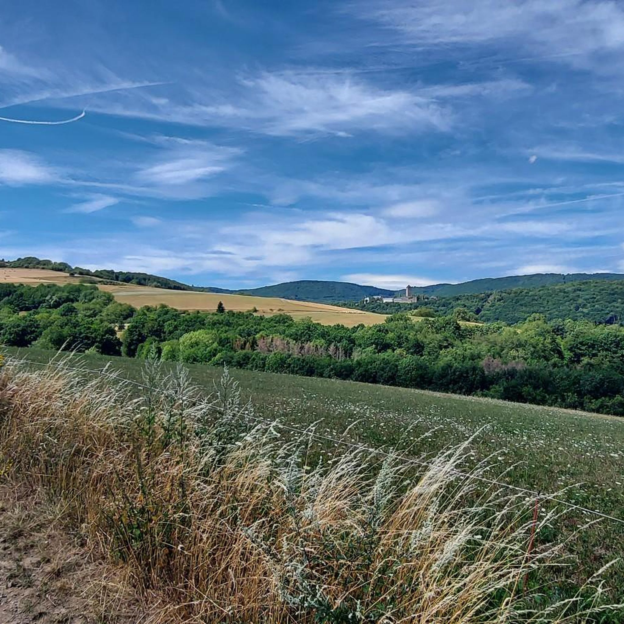
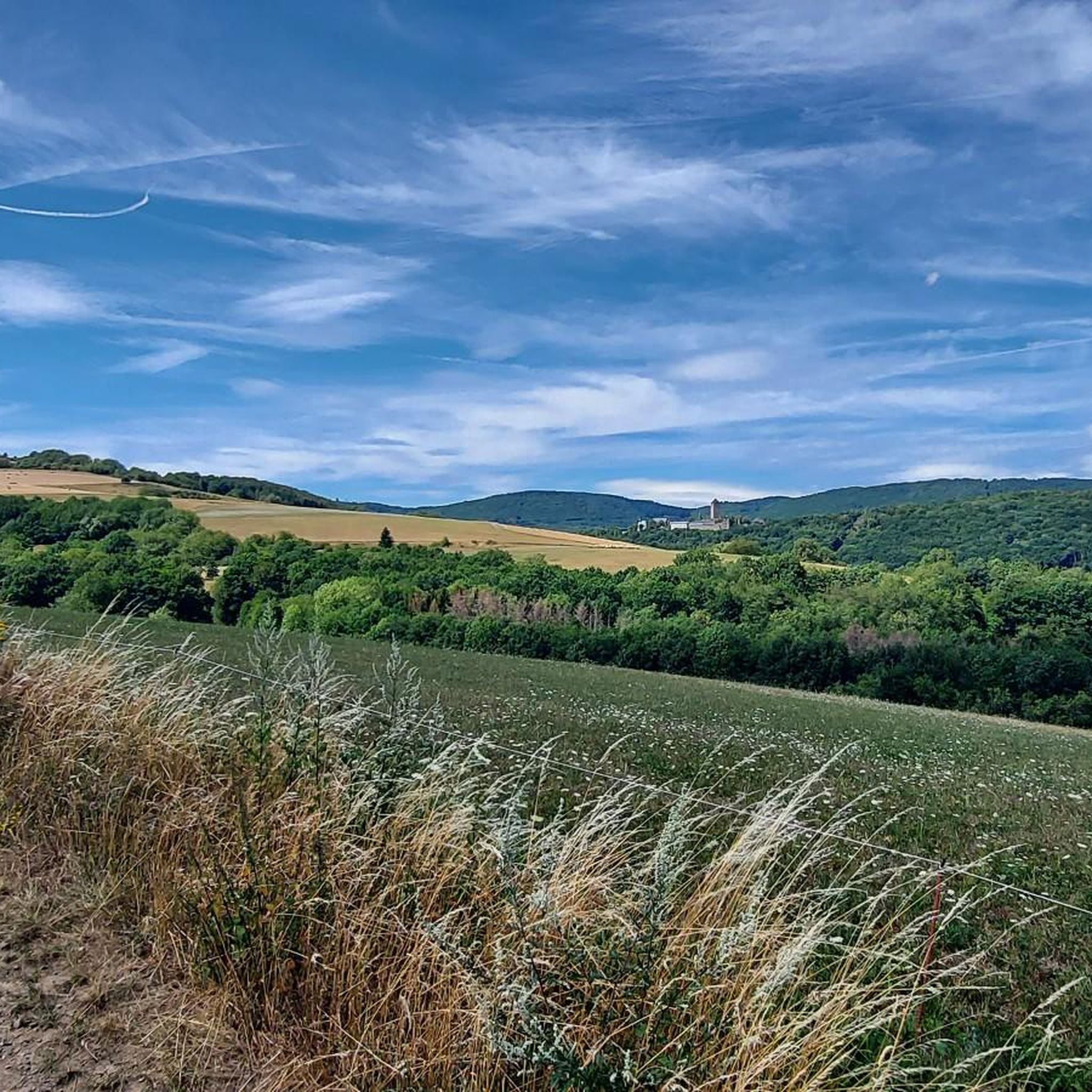
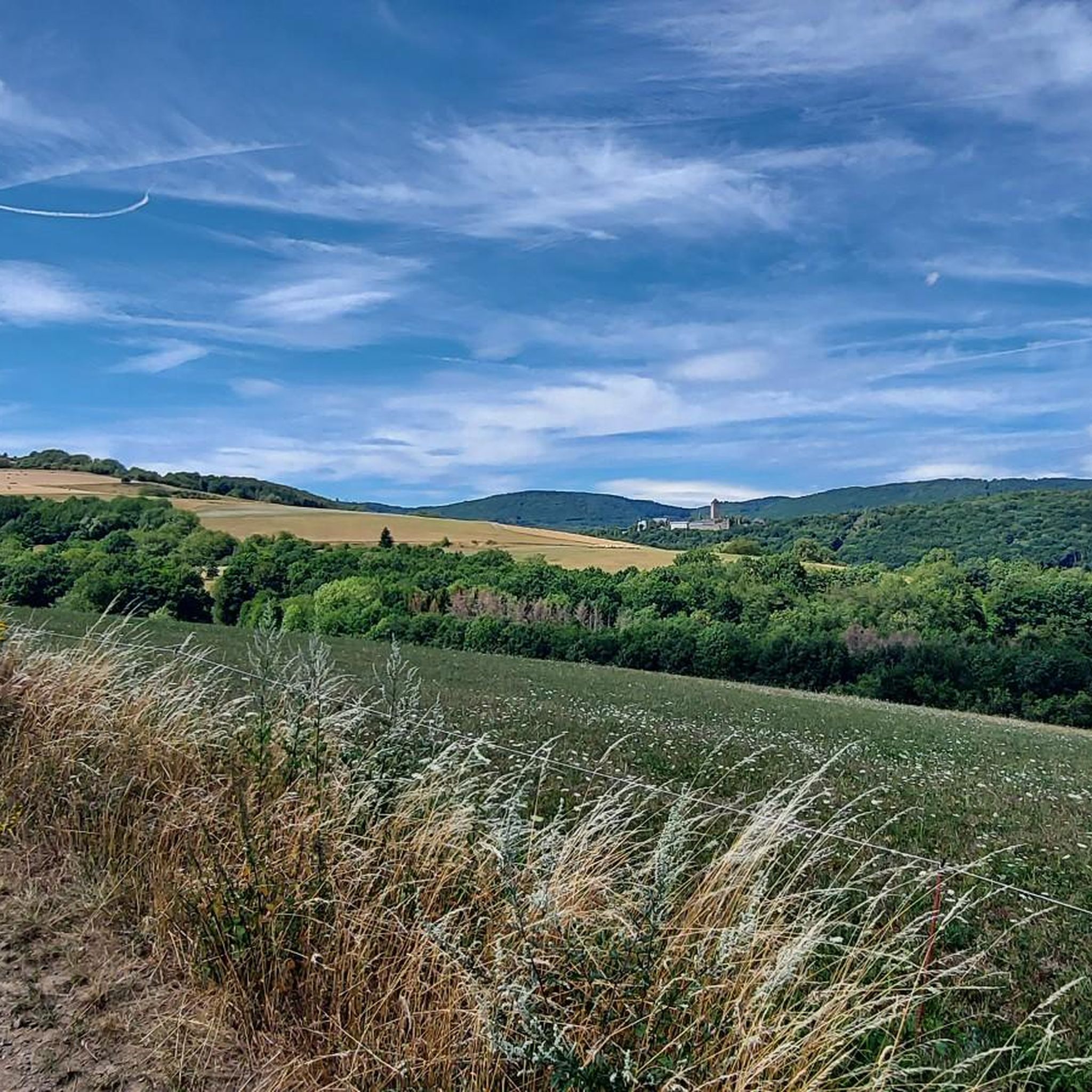
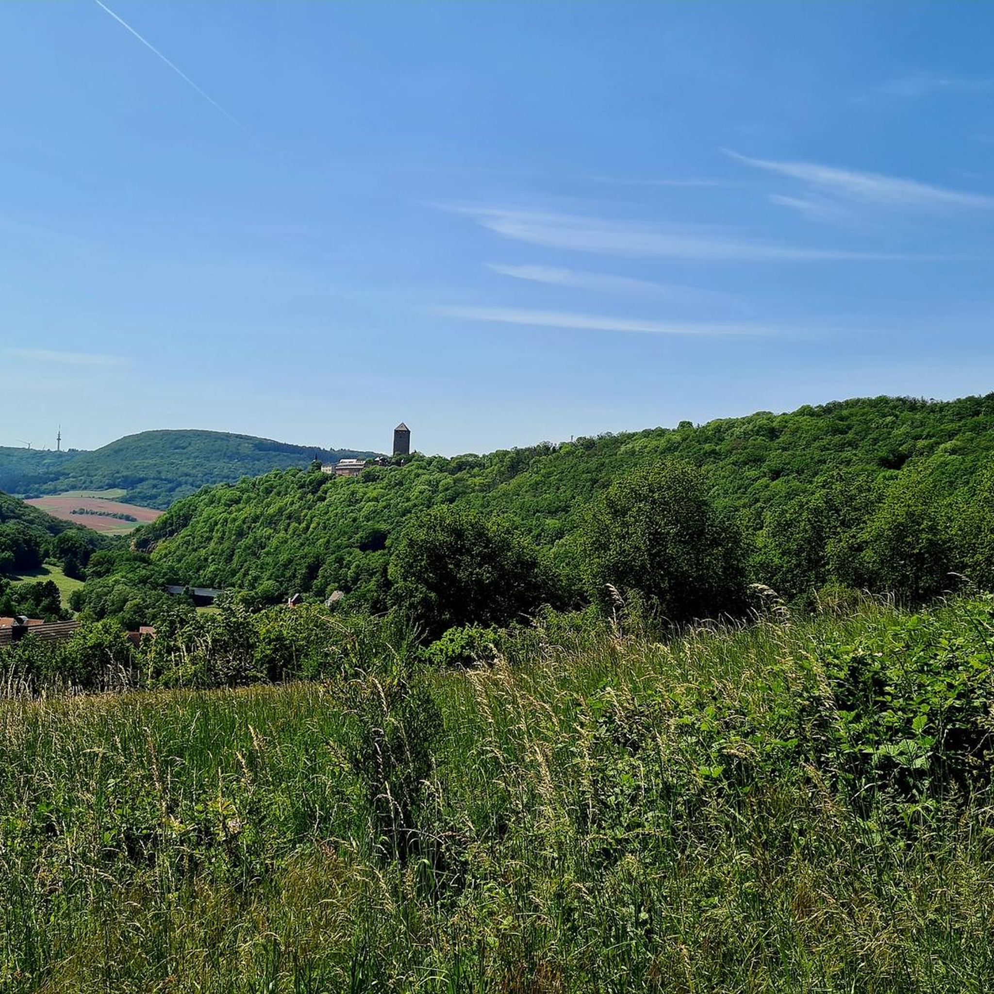

Tips from the Community


The Glan-Blies-Radweg is one of the most beautiful cycle paths in southwestern Germany. https://www.glan-blies-weg.de/
0
0

We passed by here on the third day of our Trier-Grünstadt tour. It's one of the most beautiful bike paths we've ever ridden. As an old railway enthusiast, I particularly enjoyed this highlight.
1
0
drives nicely, despite public road
1
0
Beautiful view, towards Kusel
0
0

The Michelsburg Castle and the neighboring former provost church of St. Remigius on the Remigiusberg near Haschbach, in the center of the Glan Valley, are the historical heart of the Remigiusland region. The first documented mention of an illegally built hilltop castle dates back to 1127, when Benedictine monks purchased it from a knight named Adelbert. The monks used the stones of the former castle to build the Benedictine provost church of St. Remigi, the remnant of which is the Remigius Church. Count Henry II of Zweibrücken built a second castle out of wood in 1260 – during the inheritance disputes of the counts of Veldenz – after the first male line of counts of Veldenz had died out in 1259. Later, this castle was expanded and furnished with stone, and a chapel (dedicated to St. Michael) was built inside. In 1543, Count Palatine Rupert of Veldenz made the castle his secondary residence and had a princely crypt built in the provost church. Little is known about what happened to the castle in later centuries, but it was reportedly still intact in 1708 and changed hands several times. In 1868, it came into the possession of the St. Remigiusberg Catholic Church Foundation. Today, the 20-meter-high shield wall, remnants of the palace, the ring wall, and the moat are preserved.
4
0

There is a charging station for eBikes here.
0
0

This is indeed a public road, so watch out for traffic. The road is very narrow.
1
0
Frequently Asked Questions
How many touring cycling routes are available around Ruthweiler?
There are over 230 touring cycling routes available around Ruthweiler, offering a wide variety of options for different skill levels and preferences.
What is the overall difficulty level of touring cycling routes in Ruthweiler?
The routes around Ruthweiler cater to various abilities. You'll find approximately 47 easy routes, over 100 moderate routes, and around 80 more challenging options, ensuring there's something for every touring cyclist.
What historical landmarks or points of interest can I see while cycling around Ruthweiler?
The region is rich in history and scenic spots. You can cycle past impressive structures like the Oberkirchen Viaduct, a 275-meter-long stone arch bridge. Lichtenberg Castle, one of Germany's longest castle ruins, also towers over the area, offering fantastic views. Additionally, you might encounter highlights such as the Hoher Fels Mountain Inn or the Potzberg Tower.
Are there any scenic viewpoints along the touring cycling routes?
Yes, the hilly landscape of the Palatinate mountains provides magnificent panoramic views. Routes often offer vistas of the Hunsrück region and the upper Ostertal. Specific viewpoints include the View of the Potzberg and the View from Potzberg, which can be incorporated into your rides.
Are there any circular touring cycling routes in Ruthweiler?
Many routes in the area are designed as loops, allowing you to start and end at the same point. Examples include the popular Bachbahn Cutting – Seewoog Miesenbach loop from Kusel and the Glan Bridge in Rehweiler – Stork Nests in Godelhausen loop from Kusel.
What is the best time of year for touring cycling in Ruthweiler?
The region's diverse landscapes, from river valleys to forested hills, are enjoyable throughout the warmer months. Spring and autumn offer pleasant temperatures and beautiful scenery, while summer provides longer daylight hours for extended tours. The well-maintained rail-to-trail paths are generally accessible in most non-winter conditions.
Are the touring cycling routes around Ruthweiler suitable for families?
Yes, many routes are family-friendly, especially those utilizing repurposed old railway lines like sections of the Fritz-Wunderlich-Radweg. These paths are relatively flat and well-maintained, offering enjoyable cycling away from car traffic. You can also find family-friendly hikes around Lichtenberg Castle that can be combined with cycling.
Where can I find places to rest or eat along the routes?
The region offers several spots for a break. You can find huts and cabins like the Hoher Fels Mountain Inn or the Buchwaldhütte (PWV Theisbergstegen). Some routes also pass through villages where you can find cafes and pubs. Lichtenberg Castle itself hosts a restaurant.
What do other touring cyclists enjoy the most about touring cycling in Ruthweiler?
The area is highly rated by the komoot community, with an average score of 4.6 stars from over 1900 reviews. Reviewers often praise the scenic river valleys, forested hills, and the unique experience of cycling on repurposed railway lines, which offer both historical interest and smooth, car-free paths.
Are there any routes that follow old railway lines?
Absolutely. A significant highlight for touring cyclists is the Fritz-Wunderlich-Radweg, which runs comfortably along the old railway line of the Kusel-Türkismühle railway. This route, and others like the Lake Ohmbach – Glantalbahn Tunnel loop from Kusel, utilize historic railway infrastructure, providing flat and well-maintained paths away from traffic.
How long do the touring cycling routes typically take to complete?
Route durations vary depending on distance and difficulty. For example, the Oberkirchen Viaduct – Oberkirchener Tunnel loop from Ruthweiler, a moderate 13.5-mile (21.7 km) path, typically takes around 1 hour 30 minutes. Longer routes, like the View of the Lower Glan Valley – Altenglan Draisine Station loop from Thallichtenberg (24.4 km), might take over 2 hours.
Most popular attractions around Ruthweiler

Get inspired with the komoot mobile app


Explore more
Browse the best Cycling routes in other regions.
