The best MTB trails around Bressana Bottarone
4.4
(395)
1,948
riders
83
rides
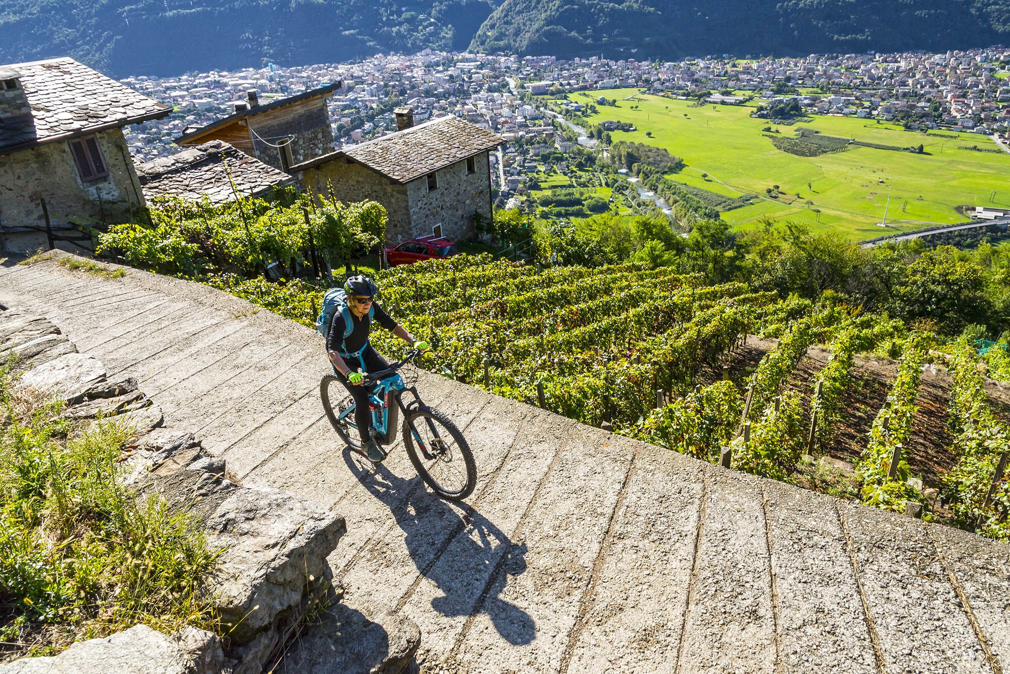
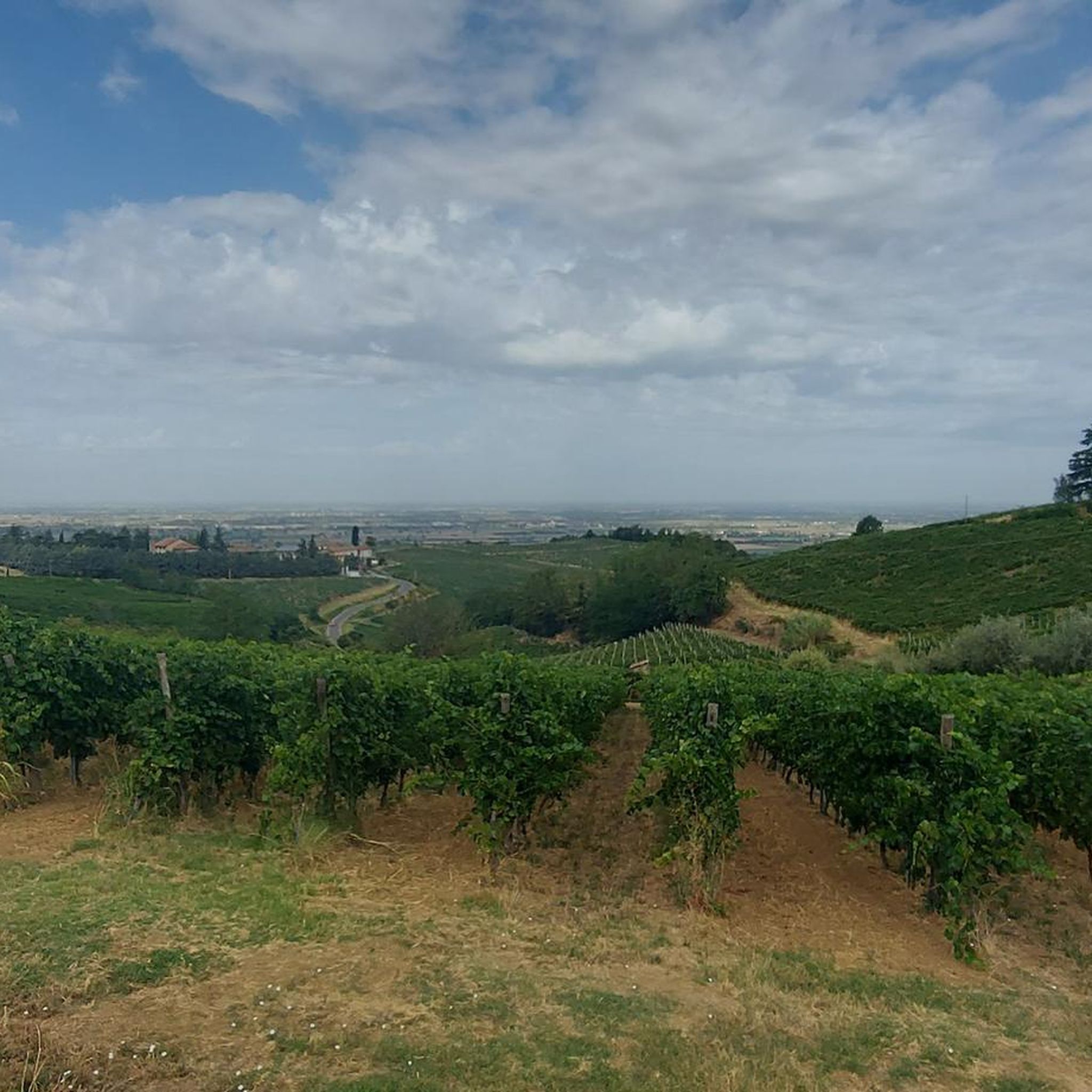
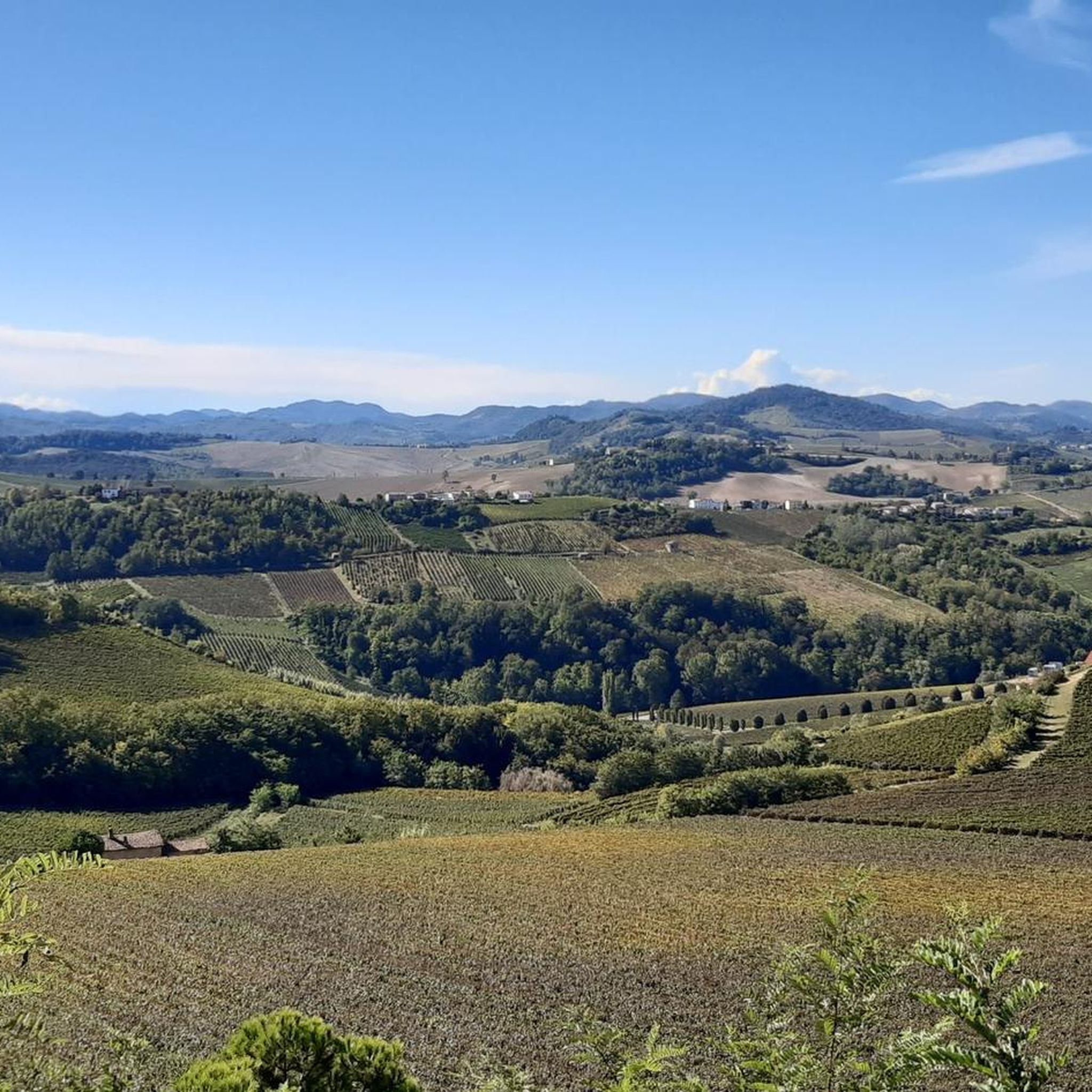
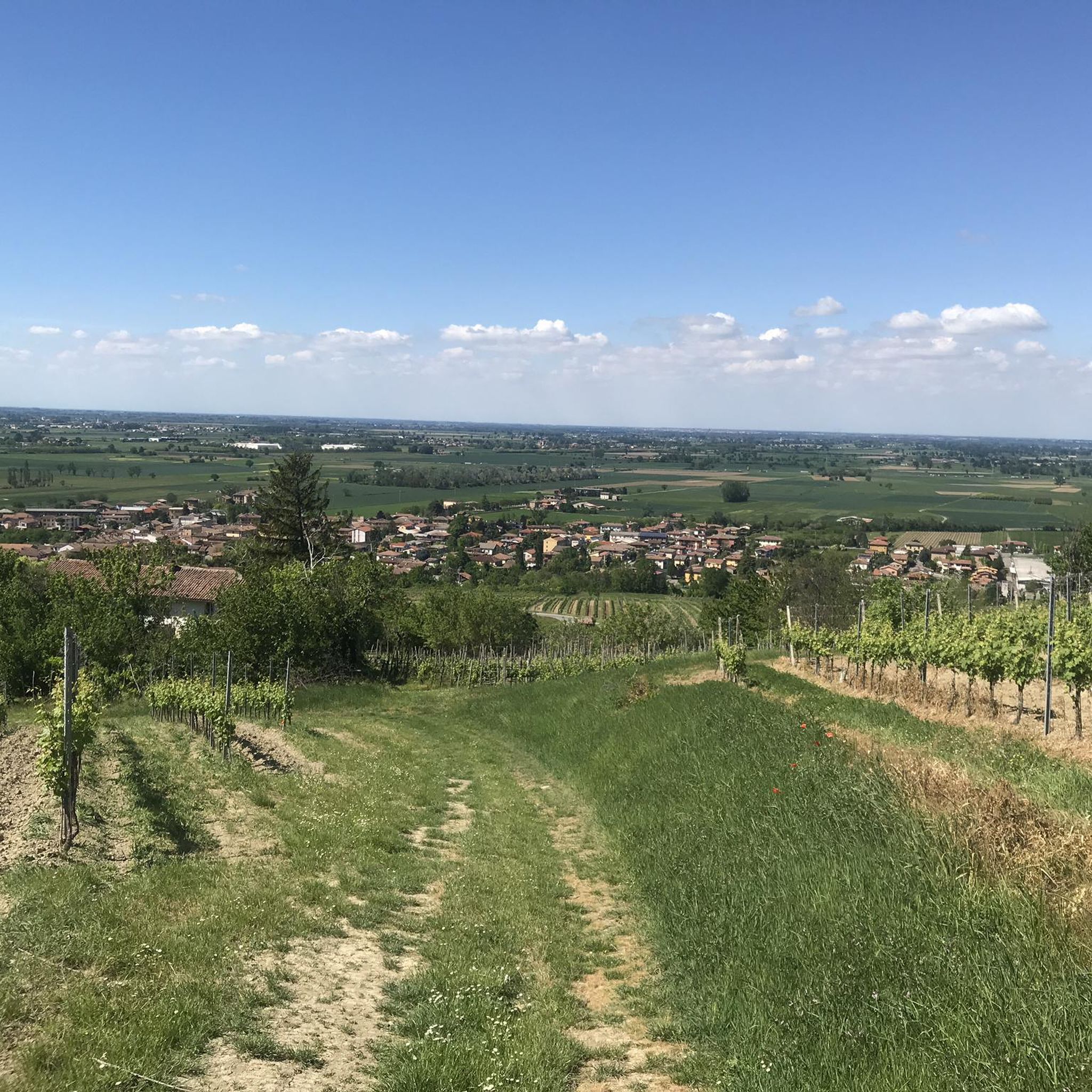
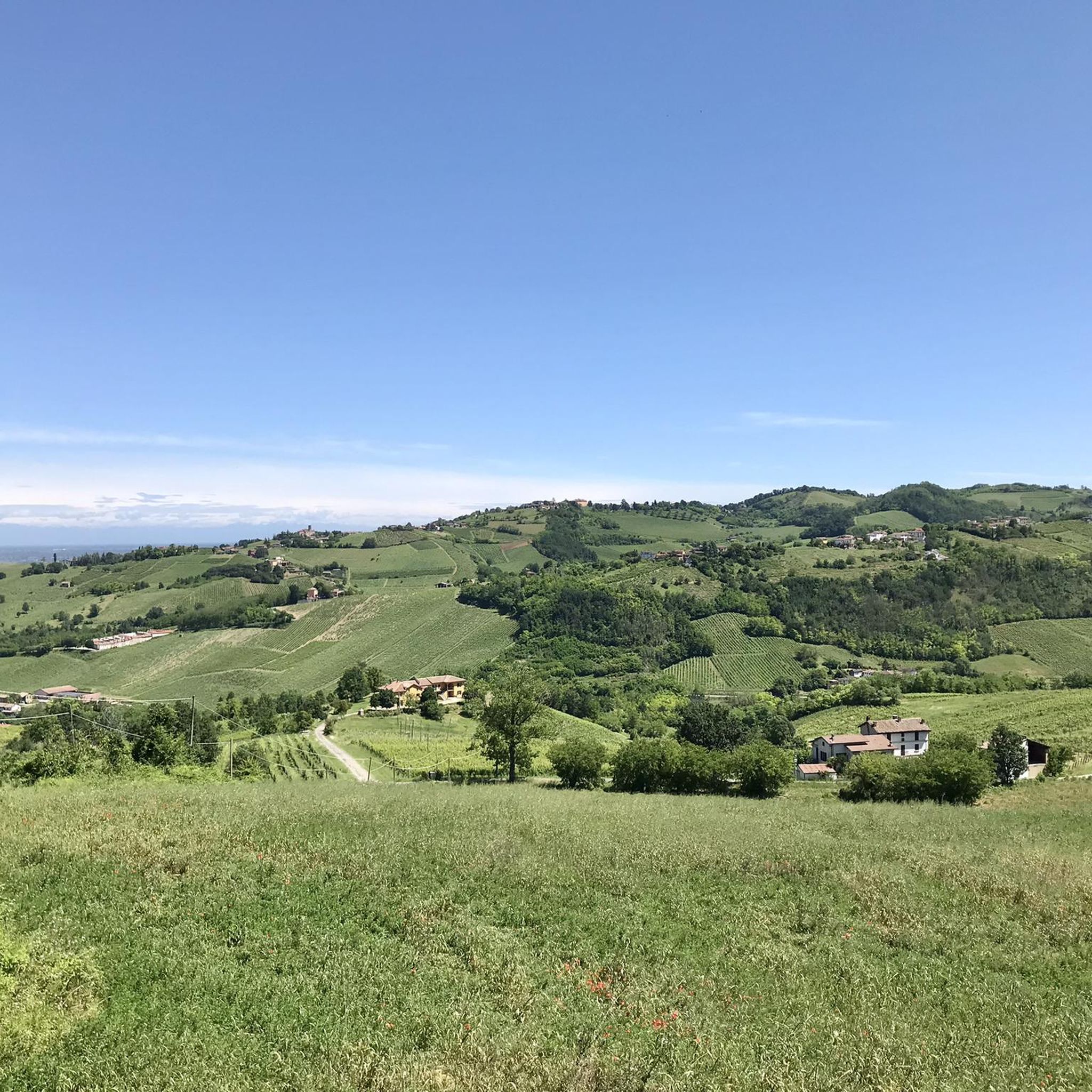
Mountain biking around Bressana Bottarone primarily explores the flat agricultural plains and the right bank of the Po River, transitioning into the gentle Oltrepò Pavese hills to the south. The landscape features riverine areas, wetlands, and cultivated fields. While the immediate vicinity is largely flat, routes often extend into the varied terrain of the broader Oltrepò Pavese region.
Best mountain bike trails around Bressana Bottarone
- The most popular mountain bike trail is Covered Bridge (Pavia) – Path Along the Ticino…
Last updated: November 1, 2026
3.5
(2)
6
riders
67.5km
04:53
670m
670m
This moderate 42.0-mile mountain bike route takes you through the rolling Oltrepò Pavese hills and along the expansive Po River.
5.0
(3)
18
riders
58.5km
04:11
970m
970m
Hard mountain bike ride. Very good fitness required.

4.0
(2)
15
riders
Moderate mountain bike ride. Good fitness required. Advanced riding skills necessary.
4.0
(1)
11
riders
50.1km
03:08
490m
490m
Moderate mountain bike ride. Good fitness required. Advanced riding skills necessary.
7
riders
61.6km
04:34
1,000m
1,000m
Hard mountain bike ride. Very good fitness required. Advanced riding skills necessary.
Get access to more routes and recommendations from other explorers.
Already have an account?
Our route recommendations are based on thousands of hikes, rides, and runs completed by other people on komoot.
Start today with a free account
Your next adventure awaits.

Other adventures around Bressana Bottarone

Tips from the Community

The Naviglio Pavese connects Milan to Pavia for 33.1 km and ends with its confluence into the Ticino river near Pavia, where the last hydraulic regulation lock (chiusa) is located. Main features Route and length: The canal is 33.1 km long and connects the Darsena in Milan to the dock/confluence of the Ticino in Pavia. Elevation gain and locks: The total elevation difference between Milan and the Ticino is 56.6 meters, overcome by twelve locks and the inclination of the bed. History: The works for the final completion were commissioned by Napoleon and finished in 1819, with the official inauguration on August 16, 1819, by Archduke Ranieri. Historical navigation: As early as 1820, the first steamships operated at the confluence with the Ticino, connecting Milan to the Po and the Adriatic.
0
0
The Sanctuary of Santa Maria del Novello (also known as Santuario del Novello) is a fascinating religious building located in Travacò Siccomario, in the province of Pavia. This small country church stands in a suggestive and isolated position within the floodplain area, just a few steps from the main left bank of the Po River. Origins: The original structure dates back to the late 1500s (or early 1600s according to some local sources). It was commissioned by the Bonacossa family and built over a previous country oratory, of which it still preserves the original fresco of the Madonna inside. Protection from floods: According to popular tradition, the building was erected at that precise spot to invoke divine protection against floods.
0
0

Fortunago is a charming Italian municipality of about 340 inhabitants located in the province of Pavia, in Lombardy. Immersed in the splendid hilly landscape of Oltrepò Pavese (in Val Coppa), the village is officially included in the prestigious circuit of the most beautiful villages in Italy (I Borghi più Belli d'Italia). This ancient medieval village is renowned for the careful architectural recovery of its exposed stone houses, the porphyry-paved streets, and an atmosphere of yesteryear that follows the slow rhythms of nature.
1
0
In Fortunago, a charming medieval village in the Oltrepò Pavese, the most famous fountain is the Fontana di San Ponzo. Located on the slopes of the village, it is linked to a legend in which the patron saint made a miraculous spring gush forth. In the center, you will also find the Fontana dei Dodici.
1
0

The “fontana di Fortunago” you are referring to is almost certainly the Fontana di San Ponzo, one of the most characteristic points of the village.
13
0

Excellent fountain on the descent below the village of Fortunago. To refill water, the fountain in the town square is not working (April 2026), while this one is cool and abundant.
3
0

Nice ride... challenging... you need to have some technique I used almost all the bike battery (500w) the first part of the forest downhill is to be done on foot because trees have fallen down... so studded shoes... But beautiful
1
0
Frequently Asked Questions
How many mountain bike trails are available around Bressana Bottarone?
There are over 85 mountain bike trails around Bressana Bottarone, offering a variety of options for different skill levels. You'll find routes exploring the flat agricultural plains, the Po River banks, and extending into the gentle Oltrepò Pavese hills.
What types of terrain can I expect on mountain bike trails near Bressana Bottarone?
The terrain around Bressana Bottarone primarily features flat agricultural plains and riverine areas along the Po River. As you venture further south into the Oltrepò Pavese hills, routes introduce more varied terrain with gentle climbs and descents, offering a mix of cultivated fields, wetlands, and some wooded sections.
Are there any easy mountain bike trails suitable for beginners or families?
Yes, there are 5 easy mountain bike trails around Bressana Bottarone. These routes are generally flatter and follow the riverbanks or agricultural paths, making them suitable for beginners or family outings. For example, routes along the Po River offer a gentle introduction to the area's cycling.
What are some challenging mountain bike routes for experienced riders?
For experienced riders seeking a challenge, there are 32 difficult mountain bike trails. A notable difficult route is the Valle Staffora Cycle Path – Salice Terme train station loop from Bressana Bottarone, which is 73.8 miles (118.8 km) long and features significant elevation changes as it extends into the Oltrepò Pavese hills.
What can I see along the mountain bike trails around Bressana Bottarone?
While mountain biking, you can explore various points of interest. Along some routes, you might encounter historical sites like the Ponte Coperto (the Covered Bridge) in Pavia or the Visconti Castle of Pavia. The region also features natural attractions such as the Garzaia della Roggia Torbida, a natural reserve known for its wetlands and birdlife.
Are there any circular mountain bike routes in the area?
Yes, many mountain bike routes around Bressana Bottarone are designed as loops. For instance, the Covered Bridge (Pavia) – Path Along the Ticino River loop from Pinarolo Po is a popular moderate circular trail. Another option is the Montalto Pavese – 45th Parallel Bench loop from Robecco Pavese, which takes you through the Oltrepò Pavese hills.
What is the best time of year for mountain biking in Bressana Bottarone?
The Oltrepò Pavese region, including Bressana Bottarone, is generally pleasant for cycling during spring and autumn when temperatures are milder. Summer can be warm, especially in the flat plains, while winter might bring colder conditions. Always check local weather forecasts before heading out.
Are there any specific attractions or landmarks to look out for on the trails?
Beyond the natural landscapes, you can discover several landmarks. The Cicognola Castle and Viewpoint offers historical interest and scenic views. You might also pass by the Entrance gate to Oliva Gessi, a charming settlement, or the Castello di Argine.
What do other mountain bikers say about the trails in Bressana Bottarone?
The mountain bike routes in Bressana Bottarone are highly rated by the komoot community, with an average score of 4.37 stars from over 300 reviews. Many users appreciate the varied terrain, from tranquil riverine paths to the scenic Oltrepò Pavese hills, and the options available for different skill levels.
Are there any routes that follow former railway lines?
Yes, the broader Oltrepò Pavese region features routes that utilize former railway lines, such as sections of the 'Greenway Voghera – Varzi'. These paths typically offer gentle gradients through fields, vineyards, and woods, providing an accessible and scenic cycling experience. You can find segments like the Greenway Voghera–Varzi: Voghera–Salice Terme Segment.
Can I find mountain bike trails that offer views of the Po River?
Absolutely. Bressana Bottarone is situated on the right bank of the Po River, and many routes explore the riverine areas. These trails often follow the river's embankment, providing scenic views of the waterway and the surrounding natural environment, such as the path along the Ticino River.
What is the typical duration for mountain bike rides in this area?
The duration of mountain bike rides varies significantly depending on the route's distance and difficulty. For example, a moderate trail like the Montalto Pavese – 45th Parallel Bench loop from Robecco Pavese typically takes about 2 hours 35 minutes, while a more challenging and longer route such as the Valle Staffora Cycle Path – Salice Terme train station loop from Bressana Bottarone can take over 7 hours.
Most popular routes around Bressana Bottarone
Most popular attractions around Bressana Bottarone

Get inspired with the komoot mobile app


Explore more
Browse the best MTB trails in other regions.
