The best walks and hikes around Monticelli Pavese
4.3
(113)
593
hikers
75
hikes
Hiking around Monticelli Pavese offers routes through varied terrain, characterized by gentle hills and open parkland. The region features a network of paths suitable for different skill levels, including sections of historical routes like the Via Francigena. These trails often traverse agricultural landscapes and connect small towns, providing opportunities for exploration in a rural setting.
Best hiking trails around Monticelli Pavese
- The most popular hiking route is Via Francigena - San Rocco al Porto Variant, a 13.8 miles (22.2…
Last updated: November 1, 2026
3.8
(19)
98
hikers
24.1km
06:08
50m
40m
Hard hike. Very good fitness required. Easily walkable paths.
2
hikers
22.2km
05:35
30m
30m
Hard hike. Very good fitness required. Easily walkable paths.

15
hikers
9.50km
02:24
10m
10m
Moderate hike. Good fitness required. Easily walkable paths.
14
hikers
14.5km
03:42
60m
60m
Moderate hike. Good fitness required. Easily walkable paths.
5.0
(1)
10
hikers
Moderate hike. Good fitness required. Easily walkable paths.
Get access to more routes and recommendations from other explorers.
Already have an account?
Our route recommendations are based on thousands of hikes, rides, and runs completed by other people on komoot.
Start today with a free account
Your next adventure awaits.

Tips from the Community

Completed at the end of the 18th century, it later passed to the Albesani family, becoming an important point of reference for the civil and cultural debate of the community, as a meeting place for illustrious local figures. It shows an interesting cross-section of the way of life of the provincial upper middle class between the 19th and 20th centuries. In the 20th century, when the Lawyer Braghieri became the owner, he left it as a testamentary inheritance to the Municipality of Castel San Giovanni. The villa is made up of 23 rooms, some of which are still furnished. It is surrounded by a wonderful park with centuries-old trees.
0
0

Spectacular hostel created from an ancient convent
1
0

I don't know when they will be finished but a cycle bridge is being planned downstream from the road bridge and it will avoid the stretch of SS 234, to date (March 2025) the foundations have been laid on both banks then we'll see...
2
0

Beautiful photo of the bridge over the Del Lambro🤩... And enjoy the rest days😎... The last week is starting🤪...
1
0

"Attraverssamento del fiume Lambro"; The Lambro is a river in the Italian region of Lombardy. The total length of the river is approximately 130 kilometers. The source of the Lambro, Menaresta is located on the flank of Monte San Primo (1685 m), the highest mountain of the Triangolo Lariano that divides Lake Como in two. The first kilometers the river flows through the Valassina, then the Lambro crosses Lake Pusiano and later flows further into the Brianza. Between Lake Pusiano and the city of Monza, the river and the surrounding area have been declared a protected area (Parco Regionale della Valle del Lambro). Arriving at the conurbation of Milan, the river flows straight through Monza, and past the cities of Sesto San Giovanni and Milan. The last kilometers the Lambro flows through the flat Po Valley past the town of Melegnano and eventually flows into the Po river in Orio Litta.
9
0

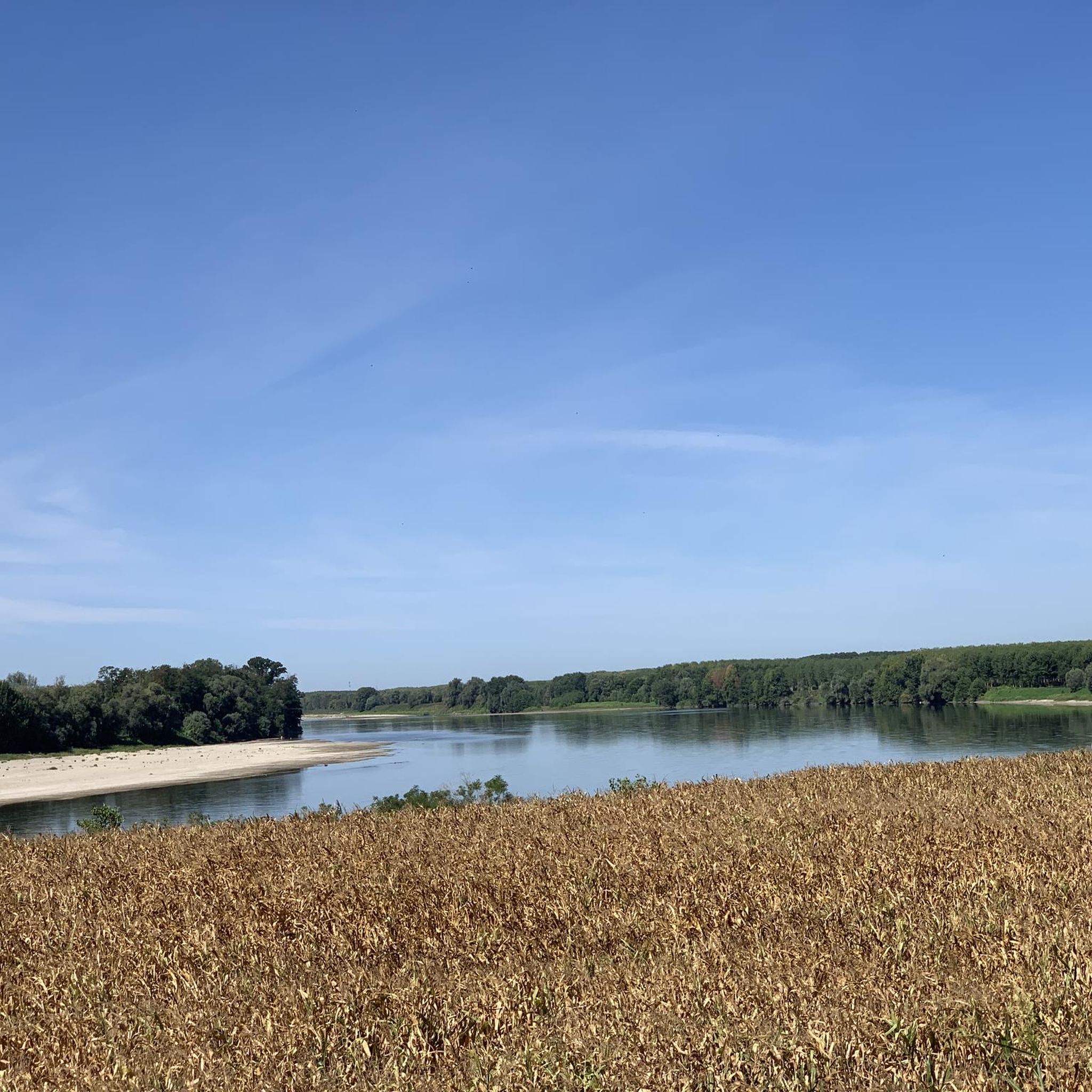
The stretch of dirt road that runs along the Lambro River in the distance belongs to the famous Via Francigena. This is a very scenic stretch of the route but unfortunately devoid of water fountains
3
0
Picturesque arched bridge under which you can pass thanks to a suspended metal walkway
1
0

The bridge crosses the Lambro river. It is the only crossing point for both cars and those who travel the Via Francigena on foot and by bicycle. Pay special attention.
2
0
Frequently Asked Questions
How many hiking trails are available around Monticelli Pavese?
There are over 50 hiking routes in the Monticelli Pavese area, offering a diverse range of experiences. You'll find paths suitable for various skill levels, from easy strolls through parkland to more challenging long-distance routes.
Are there easy hiking trails suitable for beginners or families in Monticelli Pavese?
Yes, Monticelli Pavese offers several easy trails perfect for beginners or families. For example, the Chapel of Madonna of the Mountains – Pond of San Colombano Park loop from San Colombano al Lambro is an easy 6.2 km (3.9 miles) path that explores parkland and includes a visit to a local chapel.
What is the best time of year to go hiking in Monticelli Pavese?
The Monticelli Pavese region, with its gentle hills and agricultural landscapes, is pleasant for hiking during spring and autumn when temperatures are mild and the scenery is vibrant. Summer can be warm, so early mornings or late afternoons are preferable. Winter hiking is also possible, though some paths might be muddy after rain.
Are there any circular walks in the Monticelli Pavese area?
Yes, many of the trails around Monticelli Pavese are designed as circular routes, allowing you to start and end in the same location. Examples include the Chapel of Madonna of the Mountains – Pond of San Colombano Park loop and the Colli Banini – Chapel of Madonna of the Mountains loop, both starting from San Colombano al Lambro.
What kind of terrain can I expect on hikes around Monticelli Pavese?
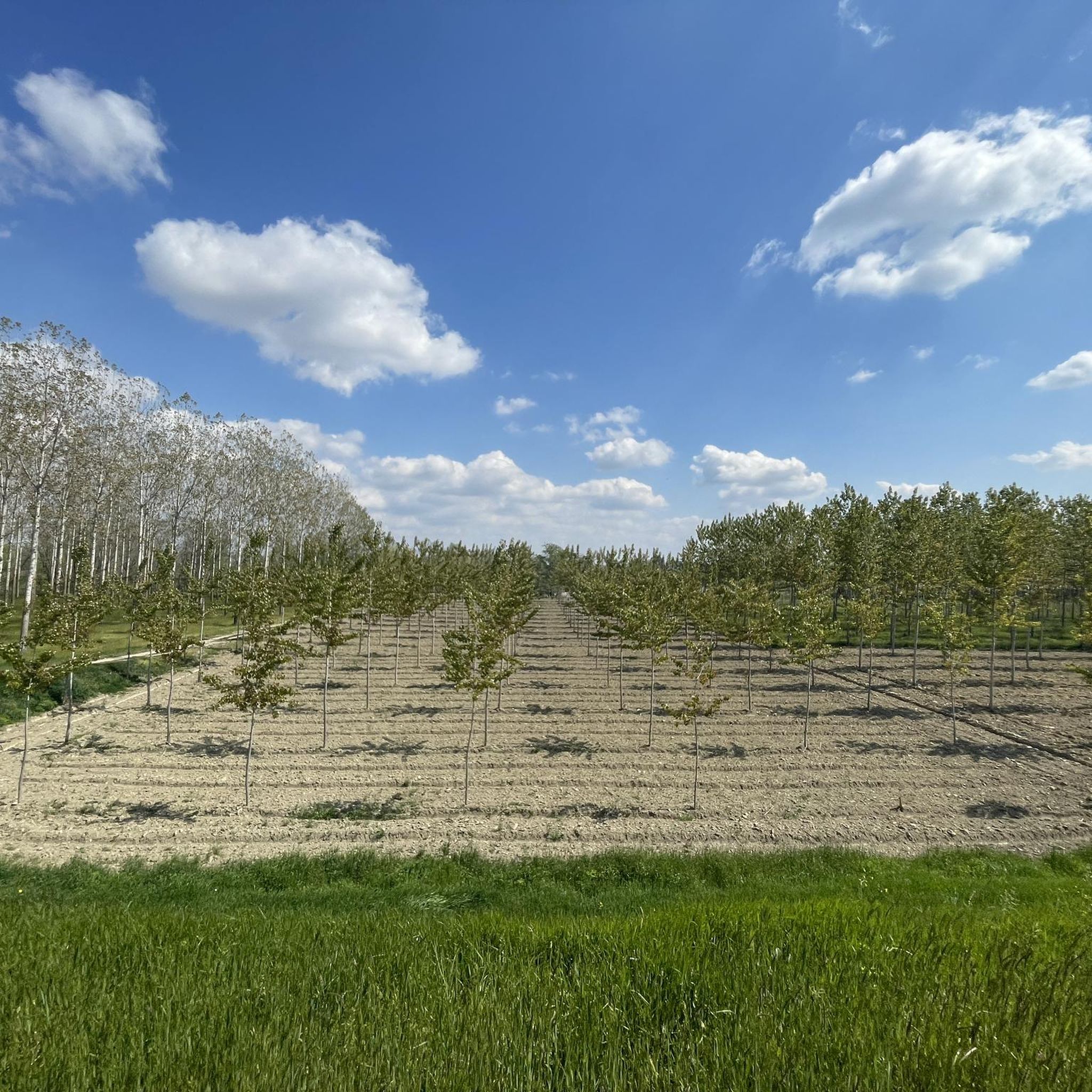
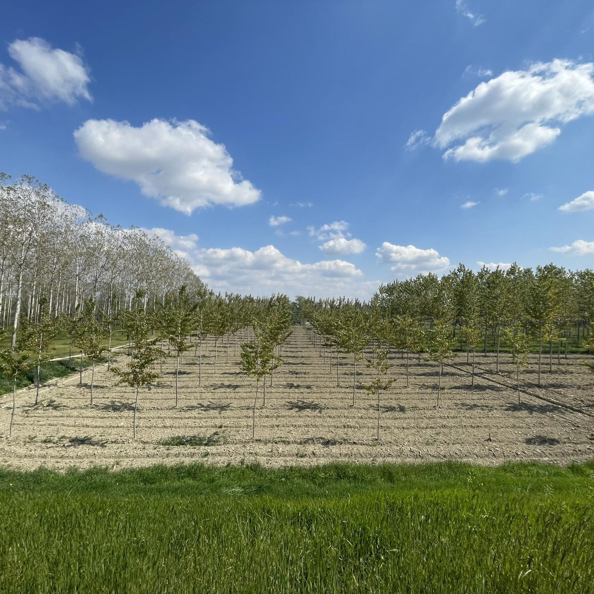
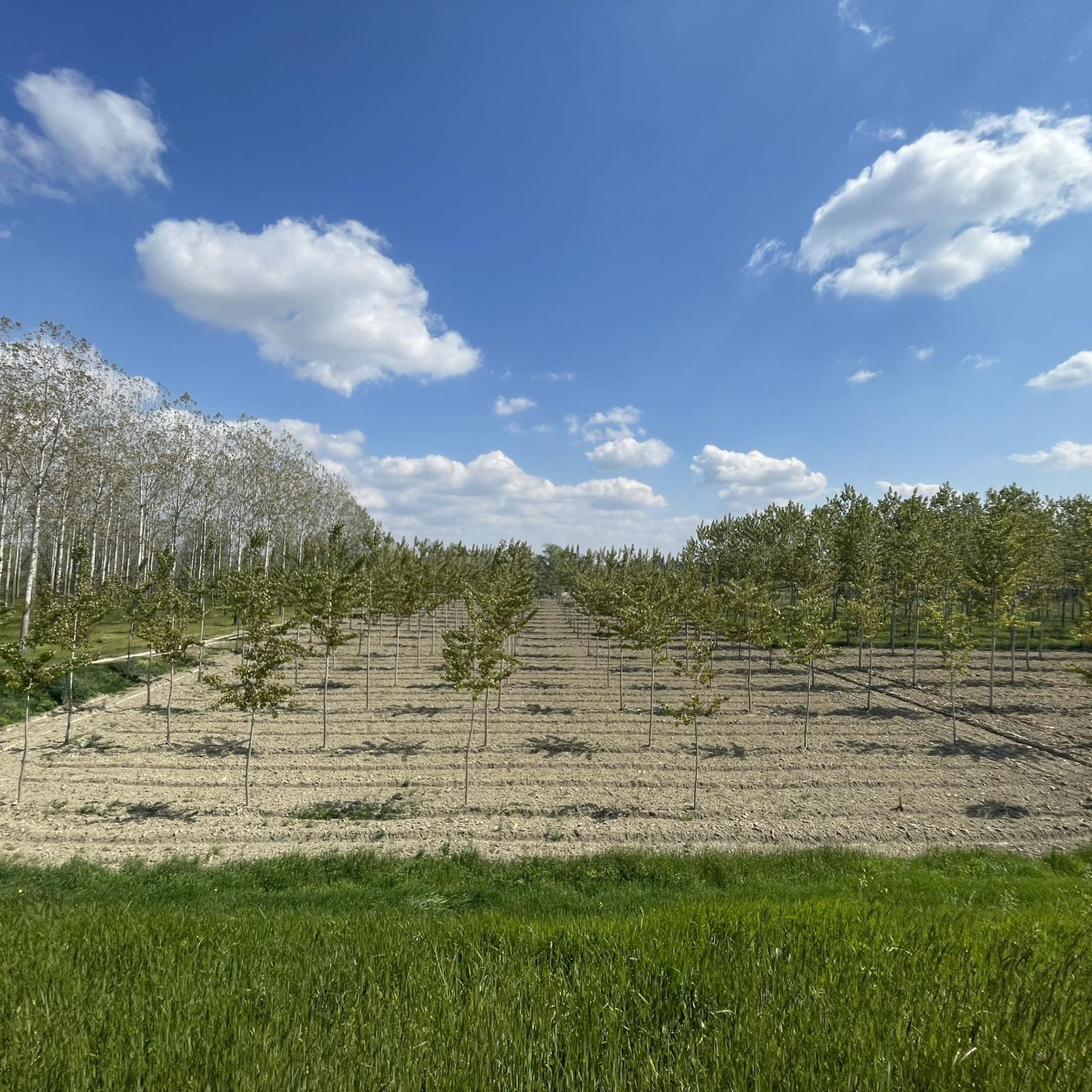
The terrain around Monticelli Pavese is characterized by gentle hills, open parkland, and agricultural fields. You'll often find yourself walking on well-maintained paths, some of which are sections of historical routes like the Via Francigena. Elevation changes are generally minimal, making for accessible hiking.
Are dogs allowed on the hiking trails in Monticelli Pavese?
Generally, dogs are welcome on most hiking trails in the Monticelli Pavese region, especially on paths that traverse open countryside and agricultural areas. However, it's always advisable to keep them on a leash, particularly when passing through farmland or near livestock, and to check for any specific local regulations.
What interesting landmarks or attractions can I see while hiking near Monticelli Pavese?
The region is rich in historical and cultural points of interest. You can explore various castles, such as Chignolo Po Castle or San Colombano Castle. Some routes also pass by historical sites like Villa Litta Carini or sections of the ancient Via Francigena, including Sigeric's Ford.
Are there any viewpoints or scenic spots on the trails?
While Monticelli Pavese is known for its gentle landscapes rather than dramatic mountain vistas, many trails offer pleasant views over the rolling agricultural fields and the Lambro River valley. The higher points in the Colli Banini area, for instance, provide expansive pastoral panoramas.
What do other hikers enjoy most about the trails in Monticelli Pavese?
The hiking trails in Monticelli Pavese are highly rated by the komoot community, with an average score of 4.3 stars from over 50 reviews. Hikers often praise the peaceful rural atmosphere, the well-maintained paths, and the opportunity to explore historical routes and charming small towns.
Are there any cafes or places to eat near the hiking trails?
Many of the hiking routes connect or pass through small towns and villages in the Monticelli Pavese area, such as San Colombano al Lambro or Miradolo Terme. These towns typically offer local cafes, trattorias, or small shops where you can find refreshments or a meal after your hike.
How long do hikes typically take in Monticelli Pavese?
Hike durations vary significantly depending on the route. Easy loops like the Chapel of Madonna of the Mountains – Pond of San Colombano Park loop can be completed in under two hours. Longer, more challenging routes, such as the Via Francigena - San Rocco al Porto Variant, can take over five hours to complete.
Is public transport available to reach the trailheads in Monticelli Pavese?
While Monticelli Pavese is a rural area, some of the larger towns near trailheads, such as San Colombano al Lambro, may have limited bus services connecting them to larger regional hubs. However, for maximum flexibility, traveling by car is generally recommended to access various starting points for hikes.
Most popular routes around Monticelli Pavese
Most popular attractions around Monticelli Pavese

Get inspired with the komoot mobile app


Explore more
Browse the best Hikes in other regions.
