The best walks and hikes around Saaleplatte
4.6
(7464)
27,933
hikers
20
hikes
Hiking around Saaleplatte offers diverse terrain, characterized by the picturesque Saale Valley, a mix of forest trails, and elevated viewpoints. The region features lush meadows, vineyards, and striking shell limestone mountains. Hikers can explore original deciduous forests and areas known for abundant orchids. This varied landscape provides a compelling experience for nature enthusiasts.
Best hiking trails around Saaleplatte
- The most popular hiking route is Orchard in Bloom loop from Kleinromstedt, a 2.9 miles (4.6 km) trail that takes 1…
Last updated: October 11, 2026
7
hikers
4.61km
01:13
40m
40m
Easy hike. Great for any fitness level. Easily-accessible paths. Suitable for all skill levels.
5.0
(2)
7
hikers
Hard hike. Very good fitness required. Easily-accessible paths. Suitable for all skill levels.

5.0
(1)
7
hikers
6.13km
01:38
70m
70m
Easy hike. Great for any fitness level. Easily-accessible paths. Suitable for all skill levels.
4.3
(4)
6
hikers
7.74km
02:11
160m
160m
Moderate hike. Good fitness required. Easily-accessible paths. Suitable for all skill levels.
5.0
(1)
4
hikers
Moderate hike. Good fitness required. Easily-accessible paths. Suitable for all skill levels.
Get access to more routes and recommendations from other explorers.
Already have an account?
Our route recommendations are based on thousands of hikes, rides, and runs completed by other people on komoot.
Start today with a free account
Your next adventure awaits.
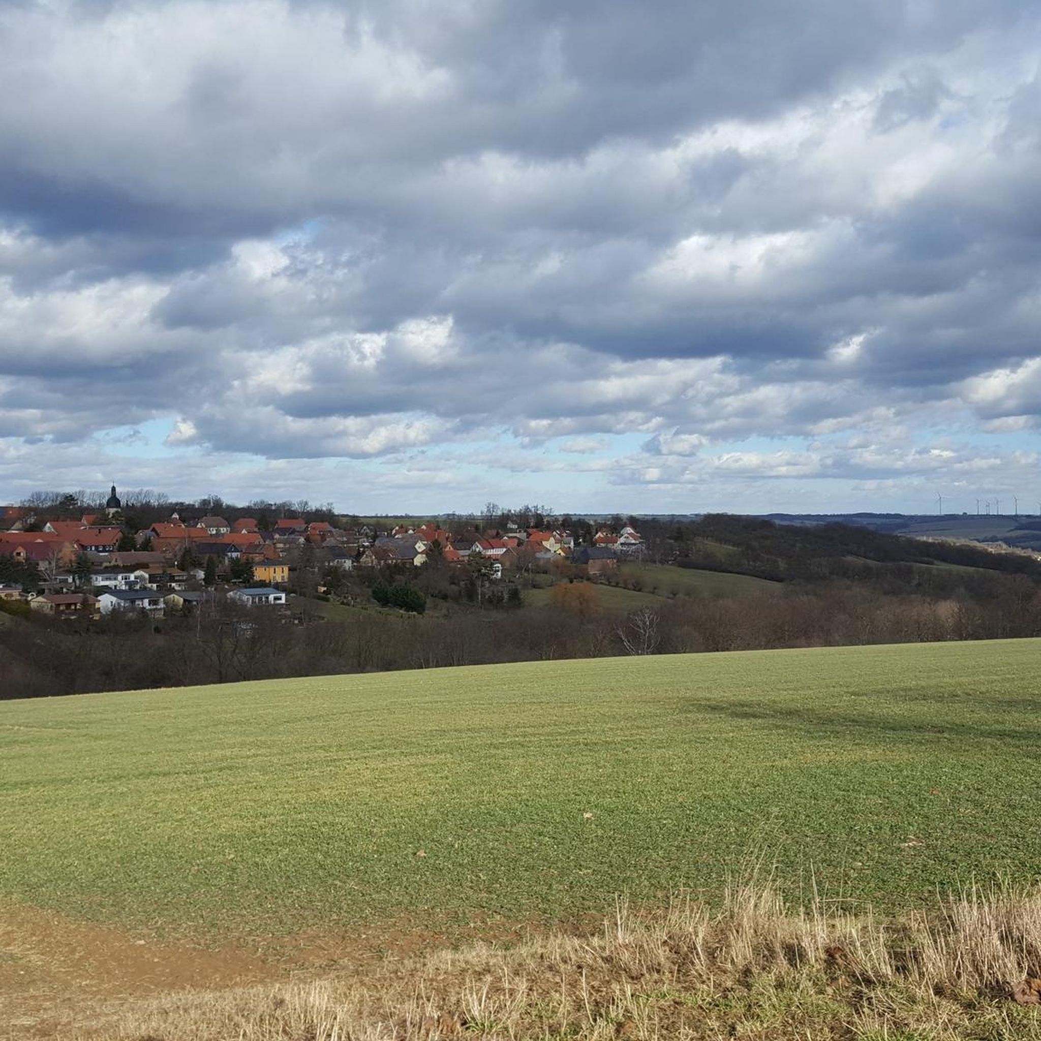

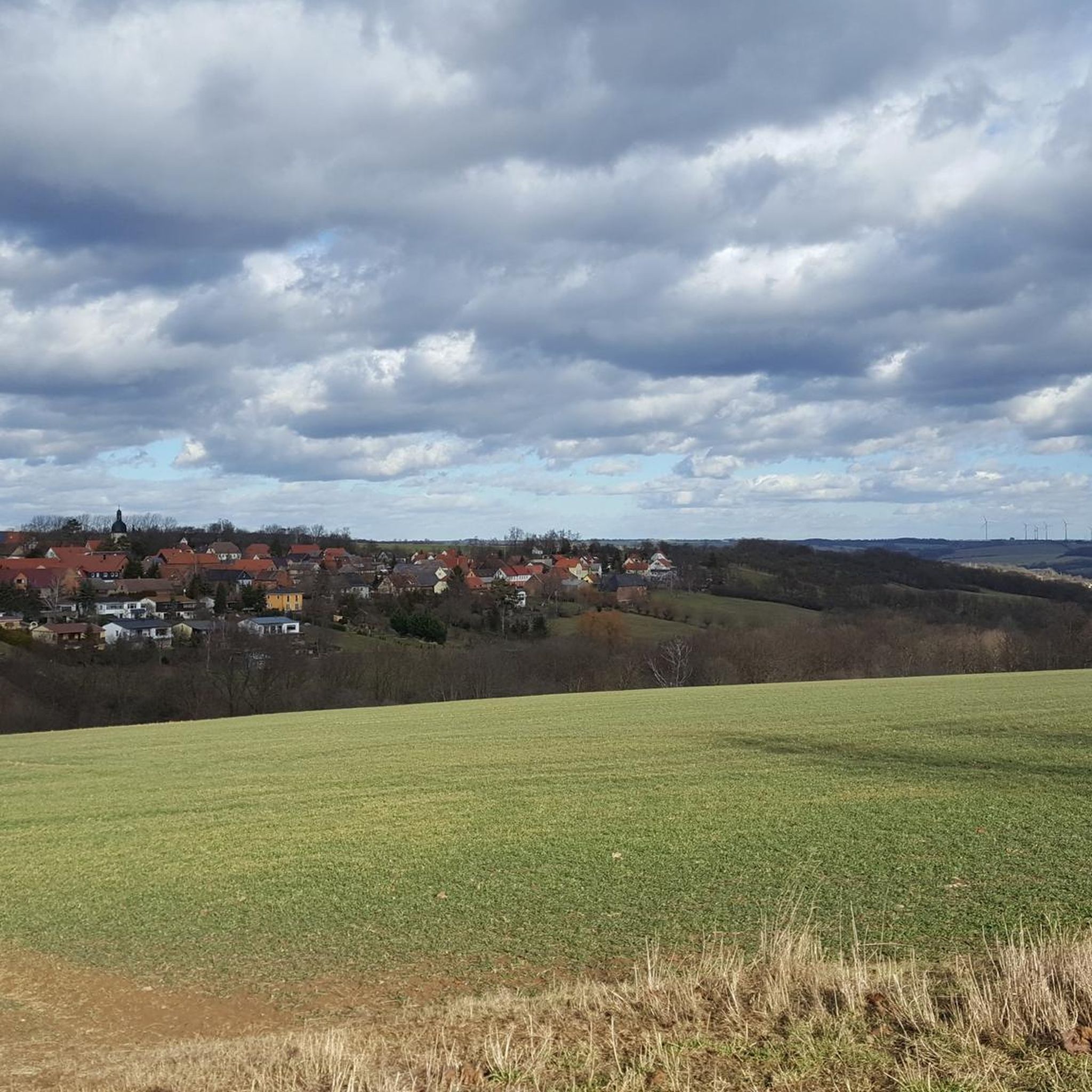
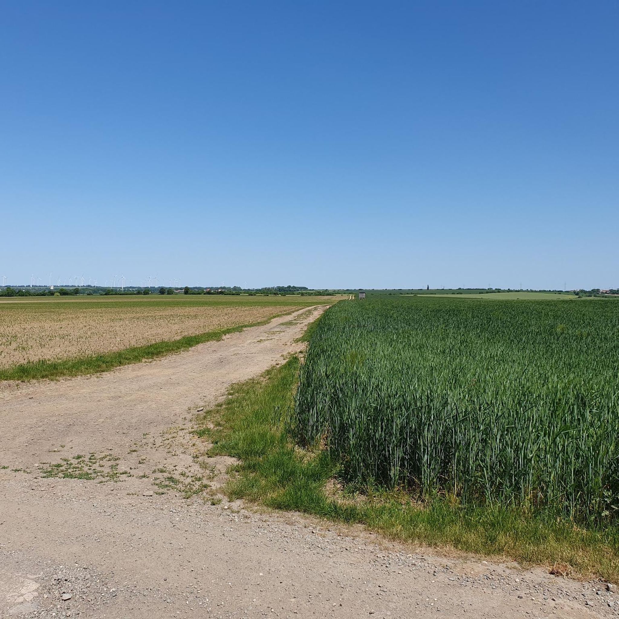
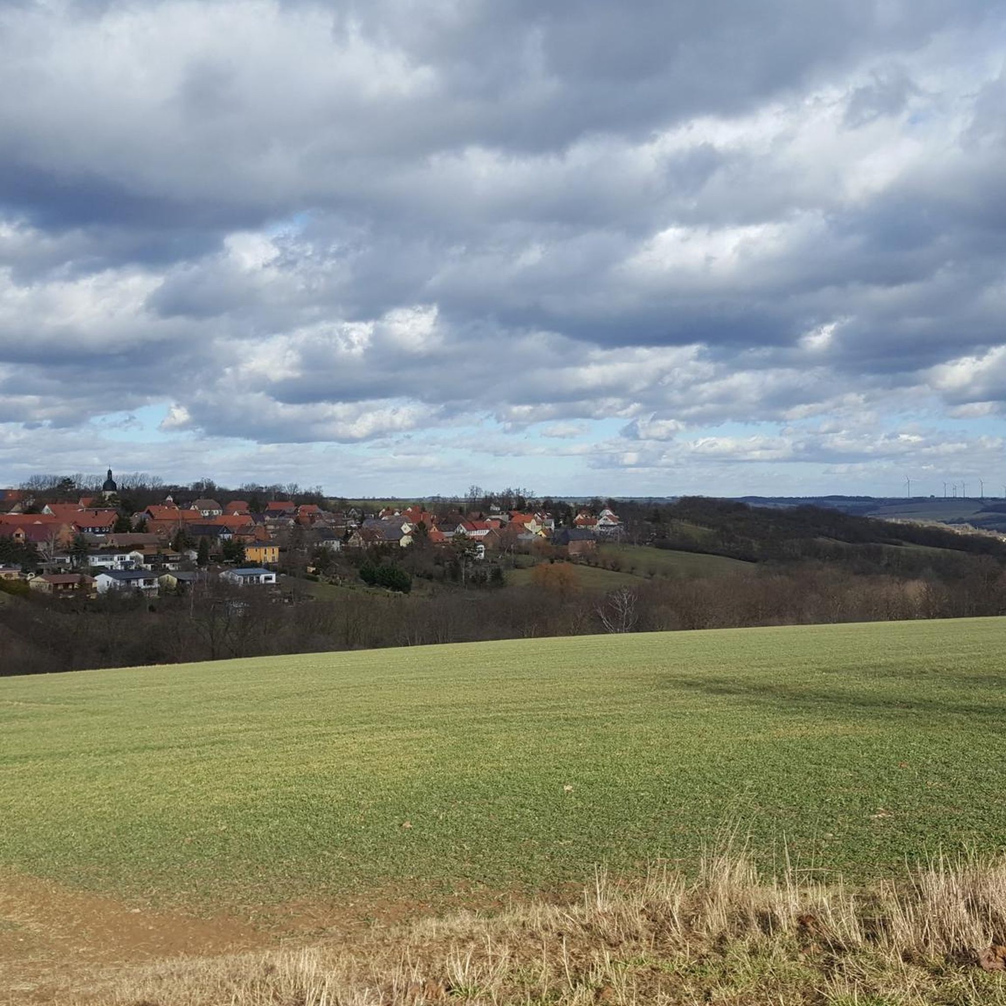
Tips from the Community

Original resting place with a large wine barrel as an eye-catcher. A nice spot for a short break and a small photo opportunity. 🍷🚴
0
0
Quiet resting place in Stöben – ideal for a short break on your bike tour. You can relax a bit here before continuing on. 🚴🌿
0
0
Historic manor in the small village of Stöben. A nice place to stop for a moment and take a look at the historic building ensemble. 🏡🌳
0
0
A narrow bridge over the Saale, you should always expect oncoming traffic here, so please be careful.
0
0
This is one of my most beautiful stops in the Saale-Unstrut wine region. Feel free to make a stop and enjoy the atmosphere and of course drink a glass of wine or beer.
0
0

Not a highlight—just a normal bridge. 😄
0
0

A nice place to take a break. There's also a manor house nearby.
11
0
Our family-run farm, with its arable farming, animal husbandry, and on-site marketing, is located directly on the Saale Cycle Path. Homemade Thuringian sausage is one of our signature products. Our farm's own boat dock, bicycle garage, private room above the horse stable, guest house, and much more offer accommodations for nature lovers. After a boat or bike ride, you can find rest and relaxation in our furnished guest rooms or in the separate guest house. The large common room with a kitchenette offers ample space. Source: http://www.rittergut-stoeben.de/
12
0
Frequently Asked Questions
How many hiking trails are available in Saaleplatte?
Saaleplatte offers a diverse network of over 19 hiking trails. These routes cater to various preferences, with 10 easy trails, 8 moderate trails, and 1 more challenging route for experienced hikers.
What is the best time of year to go hiking in Saaleplatte?
The spring and autumn months are particularly rewarding for hiking in Saaleplatte. In spring, the region comes alive with blooming orchards and an abundance of orchids, creating vibrant displays. Autumn offers pleasant temperatures and beautiful foliage. The well-maintained paths are generally accessible year-round, but spring and autumn provide the most picturesque conditions.
Are there family-friendly hiking options in Saaleplatte?
Yes, Saaleplatte has several family-friendly hiking options. Many routes are accessible and suitable for all skill levels, including easy strolls through the picturesque Saale Valley. An example is the Orchard in Bloom loop from Kleinromstedt, which is an easy 4.6 km trail perfect for a leisurely family outing.
Can I bring my dog on the hiking trails in Saaleplatte?
Generally, dogs are welcome on the hiking trails in Saaleplatte. It's always recommended to keep your dog on a leash, especially in nature reserves or areas with wildlife, and to clean up after them. The natural landscapes and forest trails provide a great environment for you and your canine companion to explore.
Are there circular hiking routes in Saaleplatte?
Yes, many of the hiking routes in Saaleplatte are designed as circular loops, allowing you to start and end at the same point. For instance, the Hiking loop from Bad Sulza offers a pleasant 6.1 km circular walk through the Saale Valley. Another option is the Bockwindmühle Krippendorf – Krippendorf Post Mill loop from Saaleplatte, a moderate 10.4 km circular route.
What natural features or landmarks can I see while hiking in Saaleplatte?
Hiking in Saaleplatte offers a wealth of natural beauty and historical landmarks. You'll encounter the picturesque Saale Valley, lush meadows, vineyards, and striking shell limestone mountains. Notable landmarks include the View of the Dornburg Palaces, offering magnificent views over the Saale, and the View of Jena and the Saale Valley from the Saalehorizontale. You can also explore historical sites like the Rudelsburg and Saaleck Castle.
Are there any long-distance hiking trails in the Saaleplatte region?
Yes, the Saaleplatte region is home to sections of the renowned SaaleHorizontale, a 72-kilometer quality hiking trail. While not entirely within Saaleplatte, it winds between Jena and Dornburg, offering spectacular views and passing by numerous historical sites and natural wonders. You can find challenging routes that cover significant distances, such as the Ruins of St. Cyriacus Church – Thuringian Winery Zahn loop from Dornburg-Camburg, which is a difficult 25.7 km path.
What do other hikers enjoy the most about hiking in Saaleplatte?
The hiking trails in Saaleplatte are highly rated by the komoot community, with an average score of 4.6 stars from over 7,000 reviews. Hikers frequently praise the diverse terrain, from tranquil forest paths to elevated viewpoints overlooking the Saale Valley. The well-maintained routes, the blend of natural beauty with historical landmarks, and the opportunities for both easy strolls and more challenging hikes are often highlighted as key attractions.
Are there places to eat or rest along the hiking trails?
Yes, the region offers several options for resting and enjoying local cuisine. Along the SaaleHorizontale, for example, you can find the Jenzig Mountain Inn, which serves traditional Thuringian home-style cooking. The Eberstedt Oil Mill & Floating Hut Village also provides restaurants and is a popular stop. Additionally, there are numerous huts and mountain inns scattered throughout the region, offering convenient resting points for hikers.
Is public transport available to access hiking trails in Saaleplatte?
While specific public transport details for every trailhead are not provided, the Saaleplatte region, being part of Weimarer Land, generally has public transport connections. For trails along the SaaleHorizontale, access points are often reachable via local buses or trains connecting to towns like Jena and Dornburg. It's advisable to check local transport schedules for specific starting points.
Are there any moderate difficulty hikes in Saaleplatte?
Yes, Saaleplatte offers 8 moderate difficulty hikes for those looking for a bit more challenge than an easy stroll. An example is the Hirschrodaer Grund – View of the Hirschroda Church loop from Bad Sulza, a 7.7 km route with some elevation changes, providing a rewarding experience without being overly strenuous.
Most popular routes around Saaleplatte
Most popular attractions around Saaleplatte

Get inspired with the komoot mobile app


Explore more
Browse the best Hikes in other regions.
