The best mountain hikes around Garlate
4.6
(58)
465
hikers
19
hikes
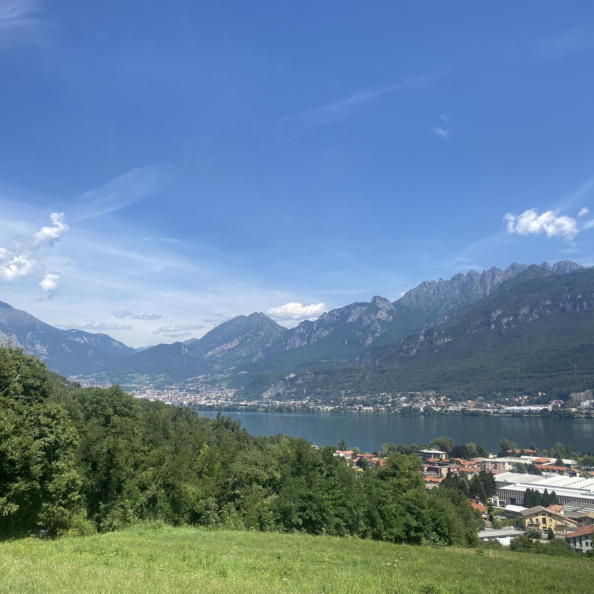
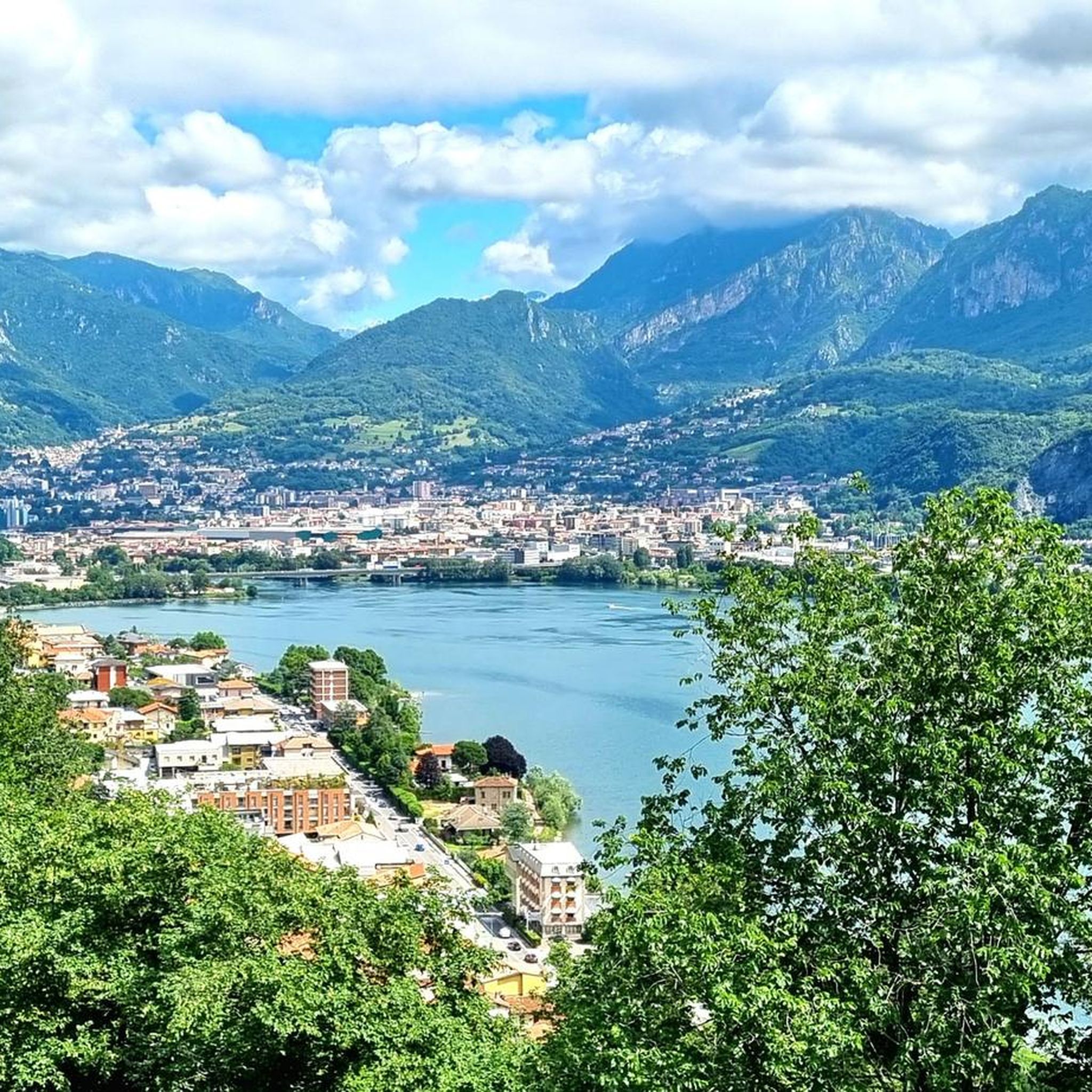
Mountaineering around Garlate is characterized by its dramatic mountainous backdrop and distinctive limestone peaks, offering challenging terrain for experienced climbers. The region, nestled in Lombardy, features a rugged landscape with significant elevation changes, providing a compelling setting for outdoor enthusiasts. While Lake Garlate offers a tranquil contrast, the surrounding mountains are the primary draw for mountaineering activities. This area is known for its challenging rock faces and varied climbing routes.
Best mountaineering routes around Garlate
- The most popular mountaineering route…
Last updated: July 4, 2026
4.3
(6)
69
hikers
12.3km
08:06
1,280m
1,280m
Hard mountaineering route. Very good fitness required. Sure-footedness, sturdy shoes and alpine experience required.
4.9
(7)
53
hikers
6.78km
04:18
920m
920m
Hard mountaineering route. Very good fitness required. Sure-footedness, sturdy shoes and alpine experience required.

Sign up for free
4.6
(5)
40
hikers
Hard mountaineering route. Very good fitness required. Sure-footedness, sturdy shoes and alpine experience required.
4.8
(4)
20
hikers
10.9km
05:55
990m
990m
Hard mountaineering route. Very good fitness required. Sure-footedness, sturdy shoes and alpine experience required.
5.0
(2)
16
hikers
14.7km
06:43
1,120m
1,120m
Hard mountaineering route. Very good fitness required. Sure-footedness, sturdy shoes and alpine experience required.
Get access to more routes and recommendations from other explorers.
Sign up for free
Already have an account?
Our route recommendations are based on thousands of hikes, rides, and runs completed by other people on komoot.
Start today with a free account
Your next adventure awaits.
Login or Signup

Tips from the Community

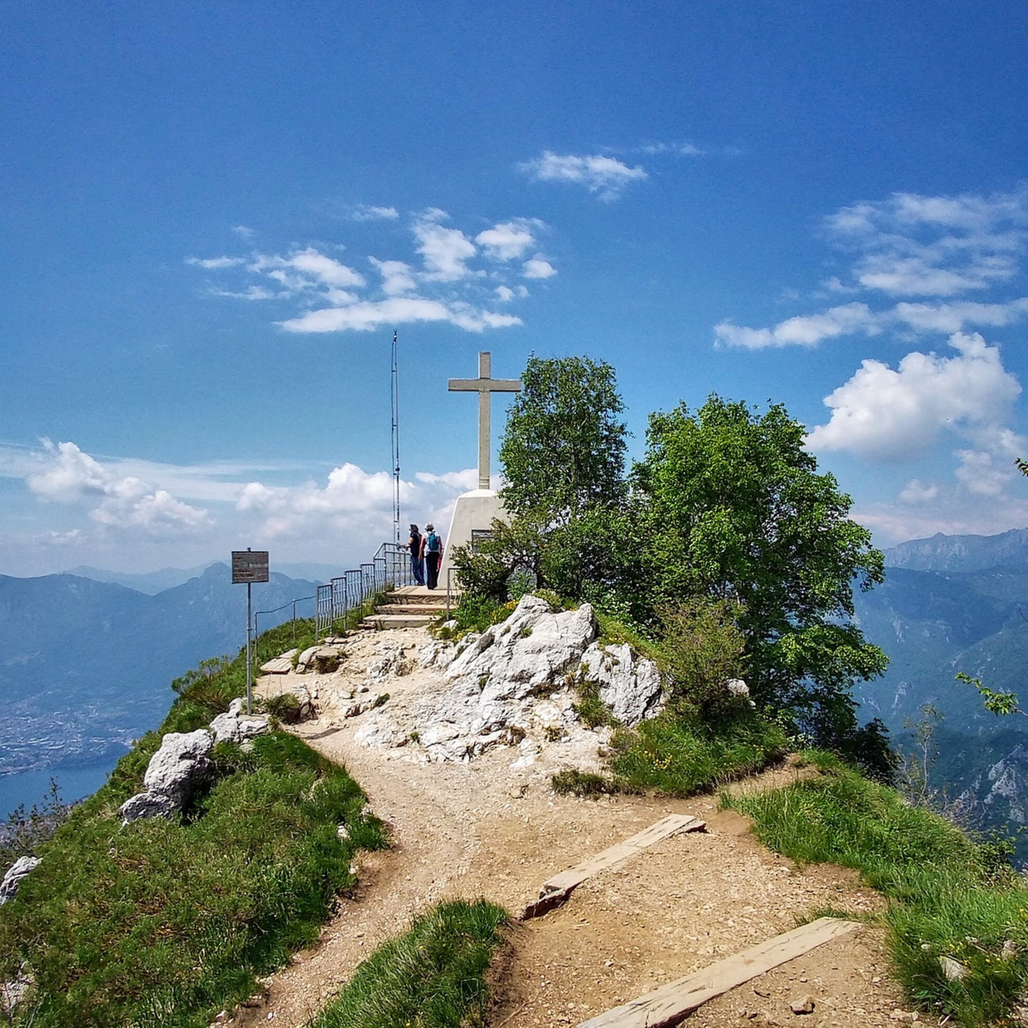
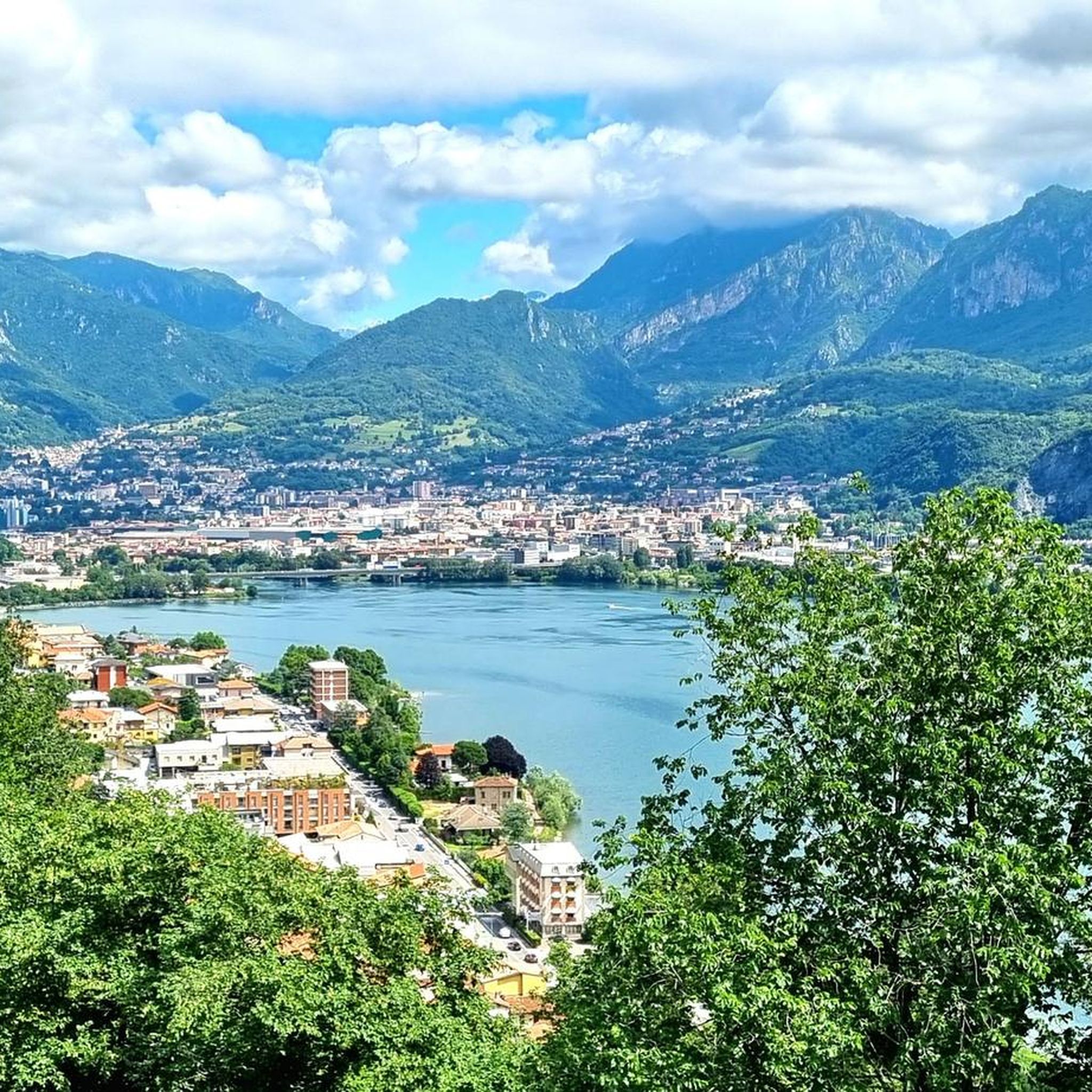
Ferrata reachable from Valmadrera. The progression takes place on a wall with some exposed sections, traverses on cable, but with well-visible metal holds. In the sections where the holds are further apart, the rock still offers good grips. In the second part, there are some ledges useful for resting. The panorama spans Valmadrera, Lake Lecco, Monte Barro, Lake Pusiano and Annone, and Resegone. In about 45-50 minutes, including the approach, you reach the summit of Corno Rat (924 m a.s.l.)
0
0
Via ferrata reachable from Valmadrera. The progression takes place on a wall with some exposed sections, traverses on cable, but with well-visible holds and stirrups. In the sections where the holds are further apart, the rock still offers good grips. In the second part, there are some ledges useful for resting. The panorama ranges over Valmadrera, Lake Lecco, Monte Barro, Lake Pusiano and Annone, and the Resegone. In about 45-50 minutes, including the approach, you reach the summit of Corno Rat (924 m a.s.l.).
0
0

A beautiful refuge overlooking Lake Como at the foot of the Corni di Canzo, managed by always kind and efficient volunteers, excellent cuisine.
0
0

This via ferrata is considered grade D (difficult). There are many stirrups, so if you're well-trained, it's less difficult. It's definitely very exposed.
0
0
beautiful peak of the Lecco Prealps, worth going there
1
0

It is highly recommended to stop for a sip of fresh water.
0
0

To reach the Canzo Orientale horn you can arrive comfortably from the S.E.V. refuge, or by exiting the Corno Rat via ferrata
0
0
I've always passed by there to avoid the rain, be careful
0
0
Frequently Asked Questions
What is the overall difficulty level of mountaineering routes around Garlate?
Mountaineering routes in Garlate are generally challenging, primarily suited for experienced mountaineers. All 22 routes listed in this guide are rated as difficult, featuring rugged mountainous terrain and significant elevation changes. For example, the Ferrata Gamma 2 Summit – View From Resegone loop from Piani d'Erna involves a challenging via ferrata and takes over 8 hours to complete.
Are there any family-friendly mountaineering options near Garlate?
The mountaineering routes directly around Garlate, as featured in this guide, are rated as difficult and are best suited for experienced individuals. For family-friendly outdoor activities, consider the pedestrian and cycle path around Lake Garlate, or explore the less strenuous trekking trails within Monte Barro Regional Park, which offer varied terrain and stunning views without the technical demands of mountaineering.
What are some notable landmarks or attractions I might encounter on these routes?
Mountaineering routes around Garlate offer access to several impressive landmarks and viewpoints. You can reach the Luigi Azzoni Hut (Monte Resegone), enjoy the Summit of Resegone, or experience the panoramic Monte Barro Summit View. The region also features unique natural formations like the Canyon of the Central Horn and the Orrido di Erve Climb.
What is the best time of year for mountaineering in Garlate?
The best time for mountaineering in Garlate is typically from late spring through early autumn (May to October) when the weather is generally stable, and trails are clear of snow. During these months, you can expect favorable conditions for tackling the challenging limestone peaks and enjoying the panoramic views. Always check local weather forecasts before heading out, as conditions can change rapidly in mountainous terrain.
Are there any circular mountaineering routes available?
Yes, several mountaineering routes around Garlate are circular. An example is the Le Casote di Valmadrera – Monte Moregallo Summit loop from Valmadrera, which offers a demanding ascent to Monte Moregallo's summit. Another option is the Ferrata Corno Rat loop from Valmadrera, a 5.9 km trail through mountainous terrain with a via ferrata.
What are the parking options for accessing mountaineering trails in Garlate?
Parking availability varies depending on the specific trailhead. For routes starting from Piani d'Erna, such as the View From Resegone – Stone Water Fountain loop, there are parking facilities available at the cable car station. For trails originating from Valmadrera, like the Ferrata Corno Rat – Corno Orientale Summit Cross loop, you can often find designated parking areas near the starting points in the town or at the base of the mountains. It's advisable to check specific route details for precise parking information.
Can I reach the mountaineering trailheads using public transport?
Public transport options to reach mountaineering trailheads around Garlate are limited but possible for some locations. Garlate itself is accessible by bus, and from there, local buses or short taxi rides might connect to certain starting points. For areas like Piani d'Erna, a cable car provides access to higher elevations, which can be reached by public transport from nearby towns like Lecco. Planning your journey in advance using local transport schedules is recommended.
Are dogs allowed on the mountaineering routes?
While many trails in the Lombardy region are dog-friendly, the challenging nature of mountaineering routes around Garlate, which often involve via ferratas, steep climbs, and rocky terrain, may not be suitable for all dogs. If you plan to bring your dog, ensure they are fit, experienced in mountainous environments, and that you are prepared for any technical sections. Always keep dogs on a leash and respect local regulations, especially within protected areas like Monte Barro Regional Park.
What kind of wildlife might I see while mountaineering in this region?
The mountainous areas around Garlate, particularly within Monte Barro Regional Park and the Grigna mountains, are rich in biodiversity. You might encounter various bird species, including birds of prey. Mammals such as chamois, deer, and marmots can sometimes be spotted in higher, more remote areas. The diverse flora, especially in spring and summer, also adds to the natural beauty of the routes.
Are there any cafes or restaurants near the mountaineering trails?
Yes, you can find cafes and restaurants in the towns at the base of the mountains, such as Valmadrera or near Piani d'Erna. There are also mountain huts, like the Luigi Azzoni Hut (Monte Resegone), which offer refreshments and meals, providing a welcome break during or after your mountaineering adventure. It's always a good idea to check their opening hours, especially outside peak season.
What makes the Grigna mountains a significant area for mountaineering near Garlate?
The Grigna mountain group, easily accessible from Garlate, is internationally renowned for its dramatic geology, featuring pinnacles, caves, and karst phenomena. It's celebrated for its numerous climbing routes and its history as a training ground for legendary mountaineers. The Grigna offers a variety of paths, equipped routes, and via ferratas, catering to different skill levels, from moderate hikes to routes requiring alpine experience, providing breathtaking views over Lake Como and the Alps.
Most popular routes around Garlate
Most popular attractions around Garlate

Get inspired with the komoot mobile app


Explore more
Browse the best Mountain Hikes & Routes in other regions.
