The best walks and hikes around Buscate
4.3
(1163)
6,966
hikers
349
hikes
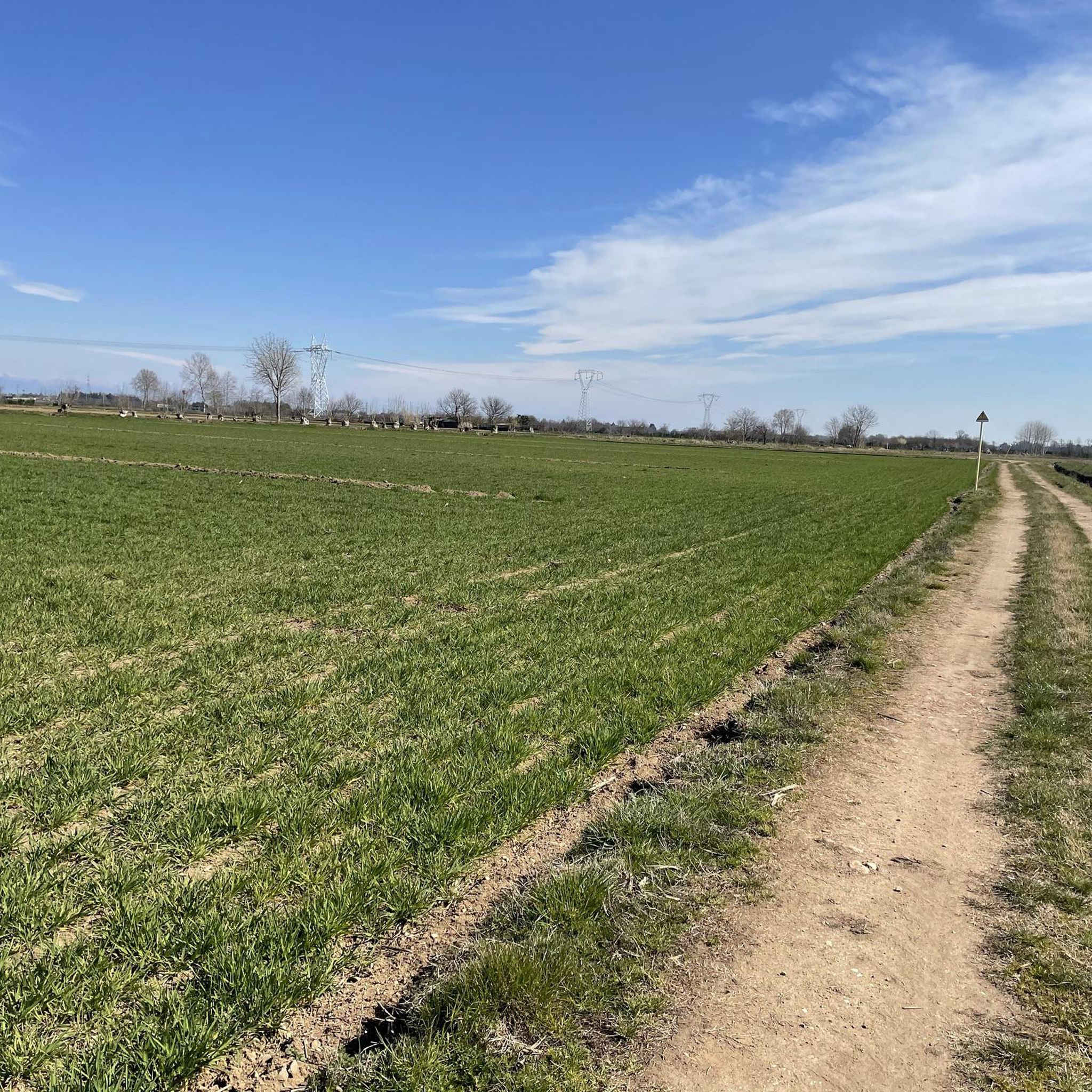
Hiking around Buscate offers a network of trails primarily characterized by flat terrain and proximity to waterways. The region features paths alongside the Naviglio Grande, Ticino River, and Villoresi Canal, providing accessible routes through the local landscape. These hiking trails near Buscate Italy are generally low in elevation gain, making them suitable for various fitness levels. Many routes are circular walks, allowing for convenient exploration of the area's natural and agricultural surroundings.
Best hiking trails around Buscate
- The most popular…
Last updated: October 4, 2026
3.0
(1)
6
hikers
11.8km
03:02
60m
60m
Moderate hike. Good fitness required. Easily-accessible paths. Suitable for all skill levels.
3.0
(1)
26
hikers
7.39km
01:52
10m
10m
Easy hike. Great for any fitness level. Easily-accessible paths. Suitable for all skill levels.

15
hikers
10.1km
02:32
10m
10m
Moderate hike. Good fitness required. Easily-accessible paths. Suitable for all skill levels.
9
hikers
7.29km
01:51
10m
10m
Easy hike. Great for any fitness level. Easily-accessible paths. Suitable for all skill levels.
18
hikers
Easy hike. Great for any fitness level. Easily-accessible paths. Suitable for all skill levels.
Get access to more routes and recommendations from other explorers.
Already have an account?
Our route recommendations are based on thousands of hikes, rides, and runs completed by other people on komoot.
Start today with a free account
Your next adventure awaits.
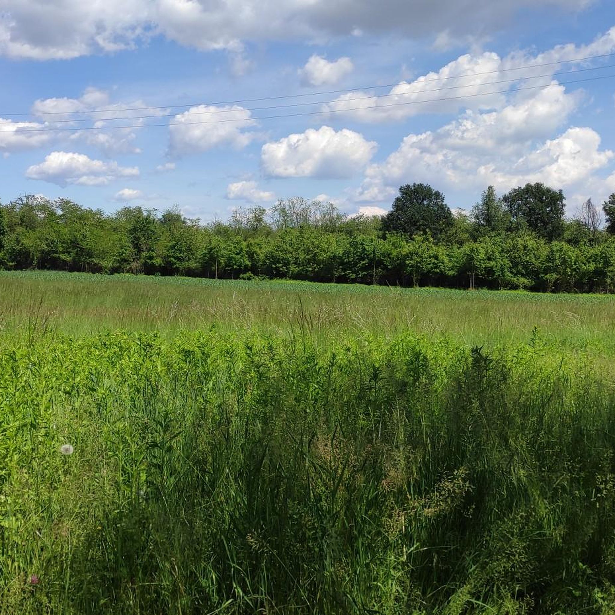
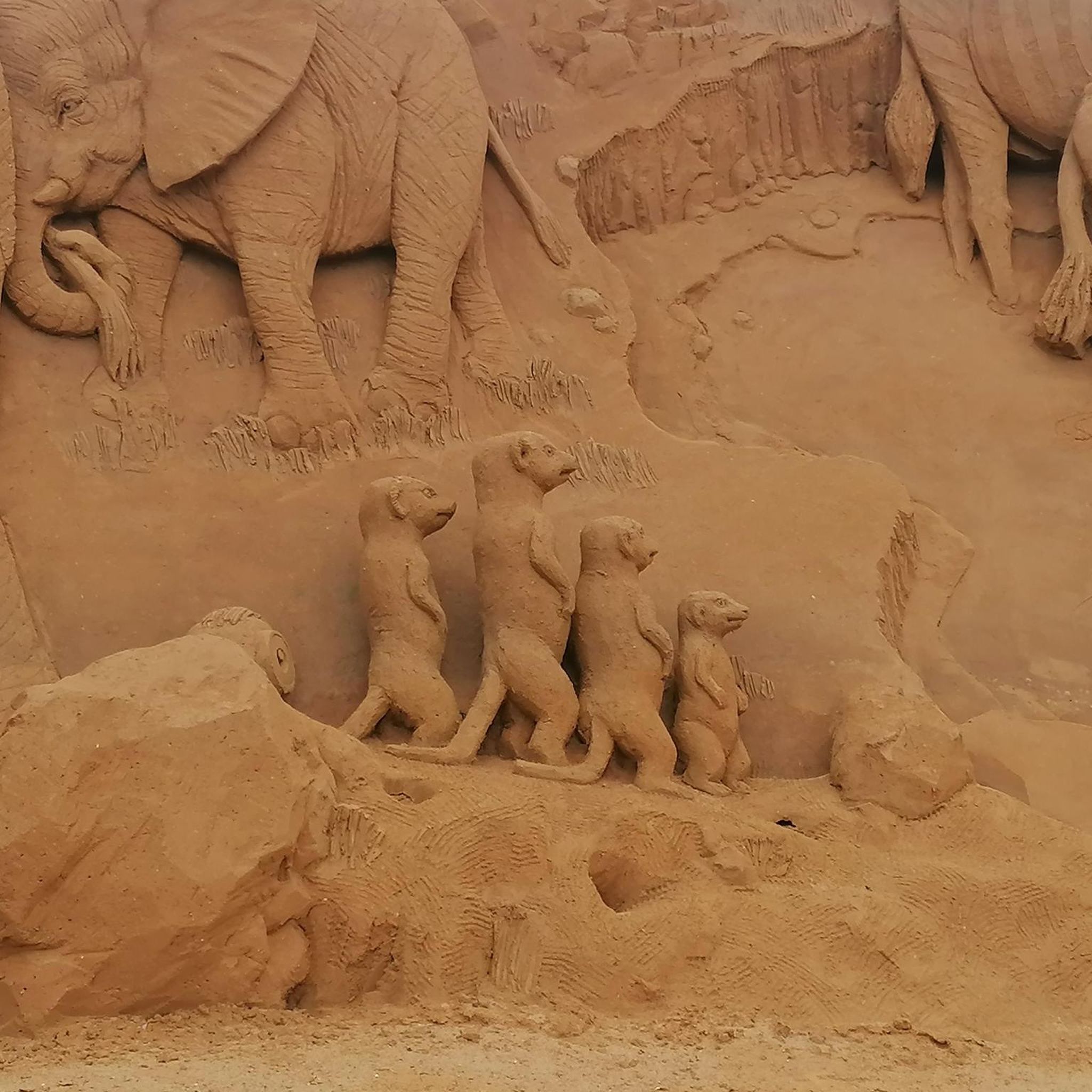
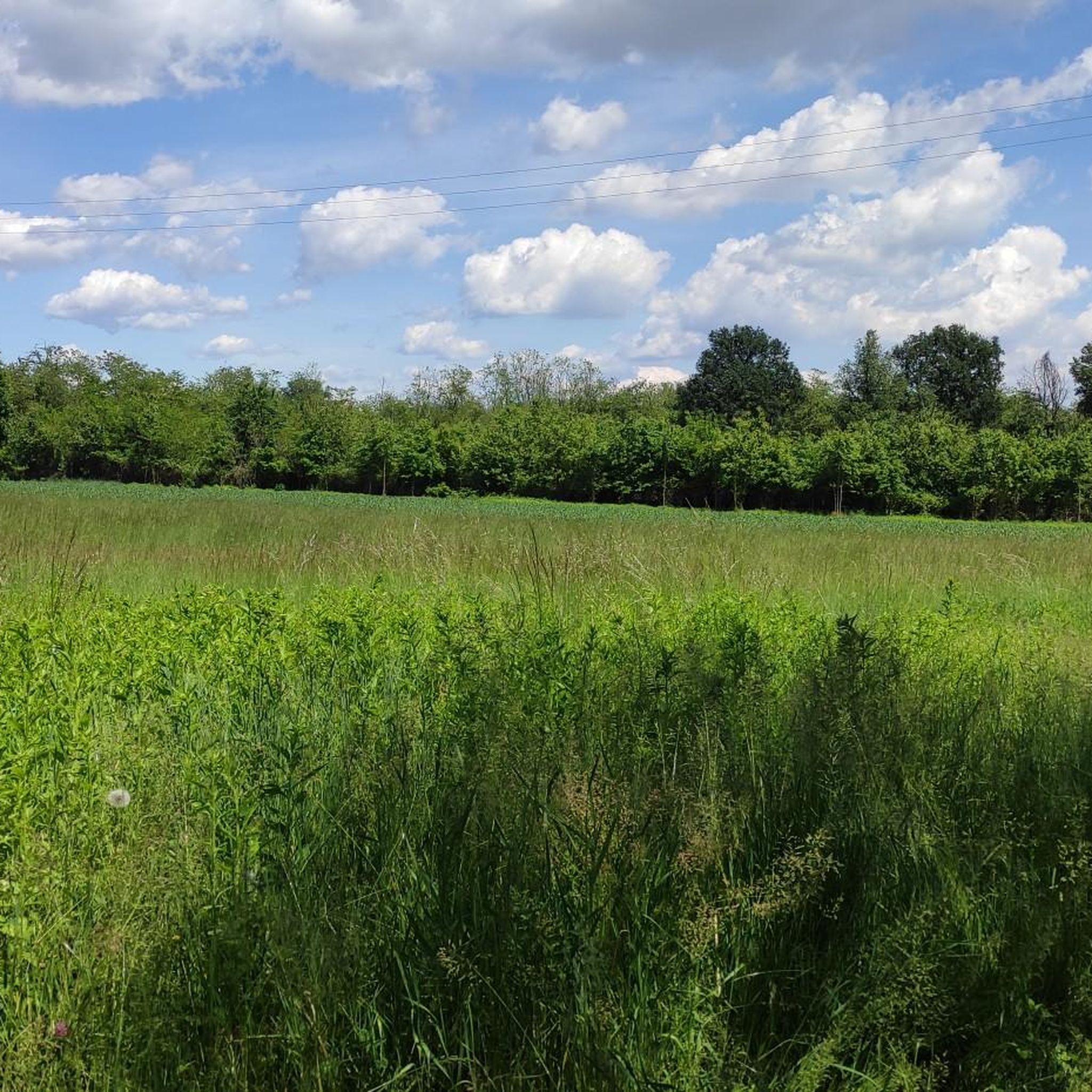
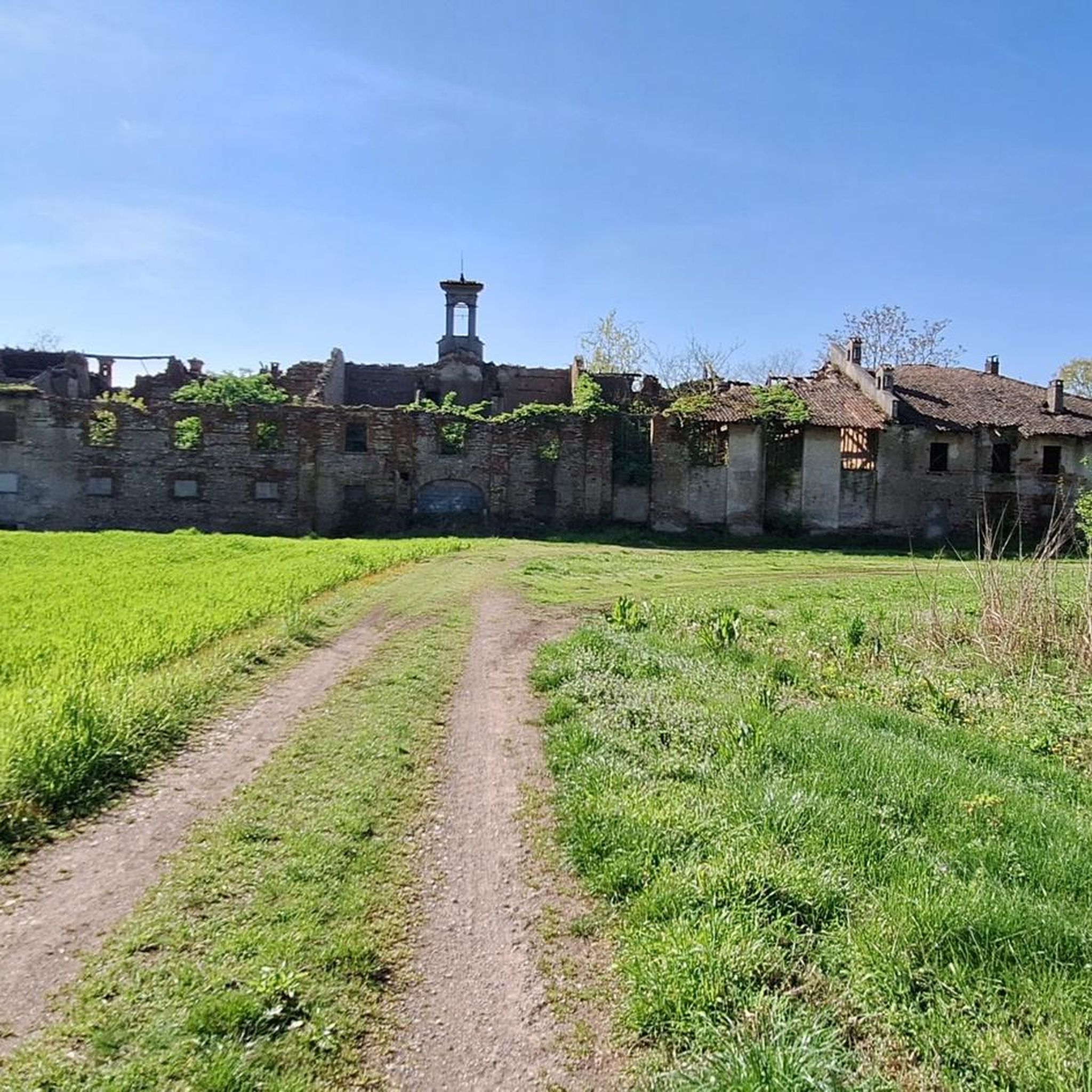
Tips from the Community

The Ticino is an important international river that flows through southern Switzerland and northern Italy. It is the main tributary of the Po by water volume and is the second-largest Italian river by average discharge (around 348 m³/s at the mouth), surpassed only by the Po itself.
0
0
The Strada Alzaia Canale Villoresi is a service road of about 85-90 km that runs along the canal from Somma Lombardo (VA) to Cassano d'Adda (MI), managed by the Consorzio Est Ticino Villoresi. Although widely used by cyclists and walkers, it is not a proper cycle path but a road for mixed use and maintenance.
0
0
The Strada Alzaia Canale Villoresi in the territory of Arconate is one of the most appreciated and frequented sections of the homonymous cycle path in western Lombardy. This specific segment offers an ideal escape into nature for cyclists, runners, and families.
0
0

Is the bike path open? I knew it was closed for construction?
1
0

the bridge allows safe access to the towpath
0
0

Classic stop to cool off
0
0

This is a portion of the Strada Alzaia del Canale Villoresi and not a cycle path (nor a cycle-pedestrian path) as also stated by the signs placed by the Consorzio Villoresi Est which manages its maintenance. It would be a good idea for everyone to look on the consortium's website for the page regarding cycling and walking on the towpaths (for personal culture as much as to avoid "disputes" with anyone)
2
0

Bike lanes galore. Avoid in summer due to the huge presence of pedestrians.
0
1
Frequently Asked Questions
What kind of terrain can I expect on hikes around Buscate?
Hikes around Buscate are primarily characterized by flat terrain, following waterways like the Naviglio Grande, Ticino River, and Villoresi Canal. The routes generally have low elevation gain, making them accessible for various fitness levels.
How many hiking trails are available around Buscate?
There are over 280 hiking routes around Buscate, offering a wide range of options for different preferences and skill levels. This includes over 150 easy routes and more than 120 moderate trails.
Are there easy hiking trails suitable for beginners in Buscate?
Yes, Buscate offers a significant number of easy hiking trails. Over 150 routes are classified as easy, making the area very welcoming for beginners or those looking for a relaxed walk. An example is the Canal – Villoresi Canal in Buscate loop from Arconate, which is 4.5 miles long and easy.
Are there family-friendly hiking options in Buscate?
Given the predominantly flat terrain and numerous easy routes, many trails around Buscate are suitable for families. Paths along the canals and rivers offer safe and enjoyable environments for walks with children. The low elevation gain ensures a less strenuous experience for younger hikers.
Can I find circular walks around Buscate?
Yes, many of the hiking routes around Buscate are circular walks, allowing for convenient exploration of the area's natural and agricultural surroundings without needing to retrace your steps. The Malvaglio, Naviglio Grande, and Ticino River Loop is a popular example.
What do other hikers enjoy most about hiking in Buscate?
The area is highly rated by the komoot community, with an average score of 4.4 stars from over 800 reviews. Hikers often praise the peaceful canal paths, the scenic riverbanks, and the open countryside, highlighting the accessibility and natural beauty of the routes.
What are some scenic views or natural attractions I can see along the trails?
Along the trails, you can enjoy views of the Ticino River and the Villoresi Canal. Notable natural attractions include the Bernate Ticino Wooden Footbridge and the Belvedere of Tornavento, which offers views over the Ticino Valley and the Alps. You might also encounter the Sette Fontane.
Are there any specific landmarks or points of interest near the hiking routes?
Beyond the natural beauty, you can discover points of interest such as the Bernate Ticino Wooden Footbridge and various viewpoints like the Belvedere of Tornavento, offering expansive vistas. The trails also pass through the picturesque Ticino River in the Parco Lombardo della Valle del Ticino.
What is the typical length and duration of hikes in Buscate?
Hikes in Buscate vary in length, but many popular routes are between 4.5 and 7.5 miles (7 to 12 km). For example, the Malvaglio, Naviglio Grande, and Ticino River Loop is 7.3 miles and takes about 3 hours, while the Villoresi Canal Bridge – Villoresi Cycle Path🚲 loop from Castano Primo is 5.6 miles and takes around 2 hours 15 minutes.
Is Buscate suitable for winter hiking?
Given the flat terrain and well-maintained paths along the canals and rivers, Buscate can be suitable for winter hiking, provided weather conditions are safe and paths are clear of ice or heavy snow. Always check local weather forecasts before heading out.
Are there any trails that offer a mix of hiking and other activities?
While primarily focused on hiking, the region's flat paths along waterways are often shared with cyclists, particularly along the Villoresi Canal. This allows for a multi-use experience where you can enjoy the trails alongside other outdoor enthusiasts.
Most popular attractions around Buscate

Get inspired with the komoot mobile app


Explore more
Browse the best Hikes in other regions.
