The best walks and hikes in the San Bernadino Mountains
4.6
(967)
12,759
hikers
342
hikes
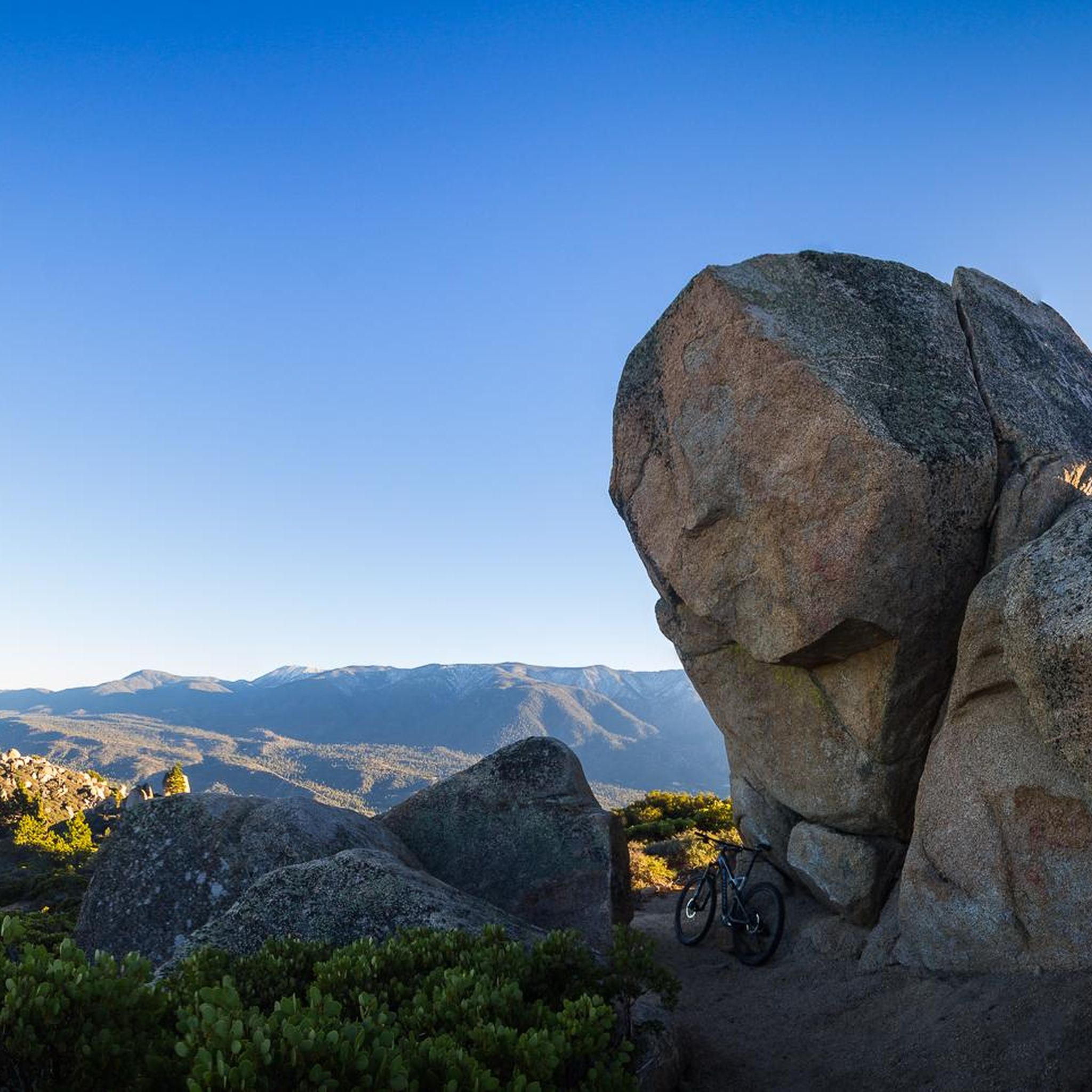
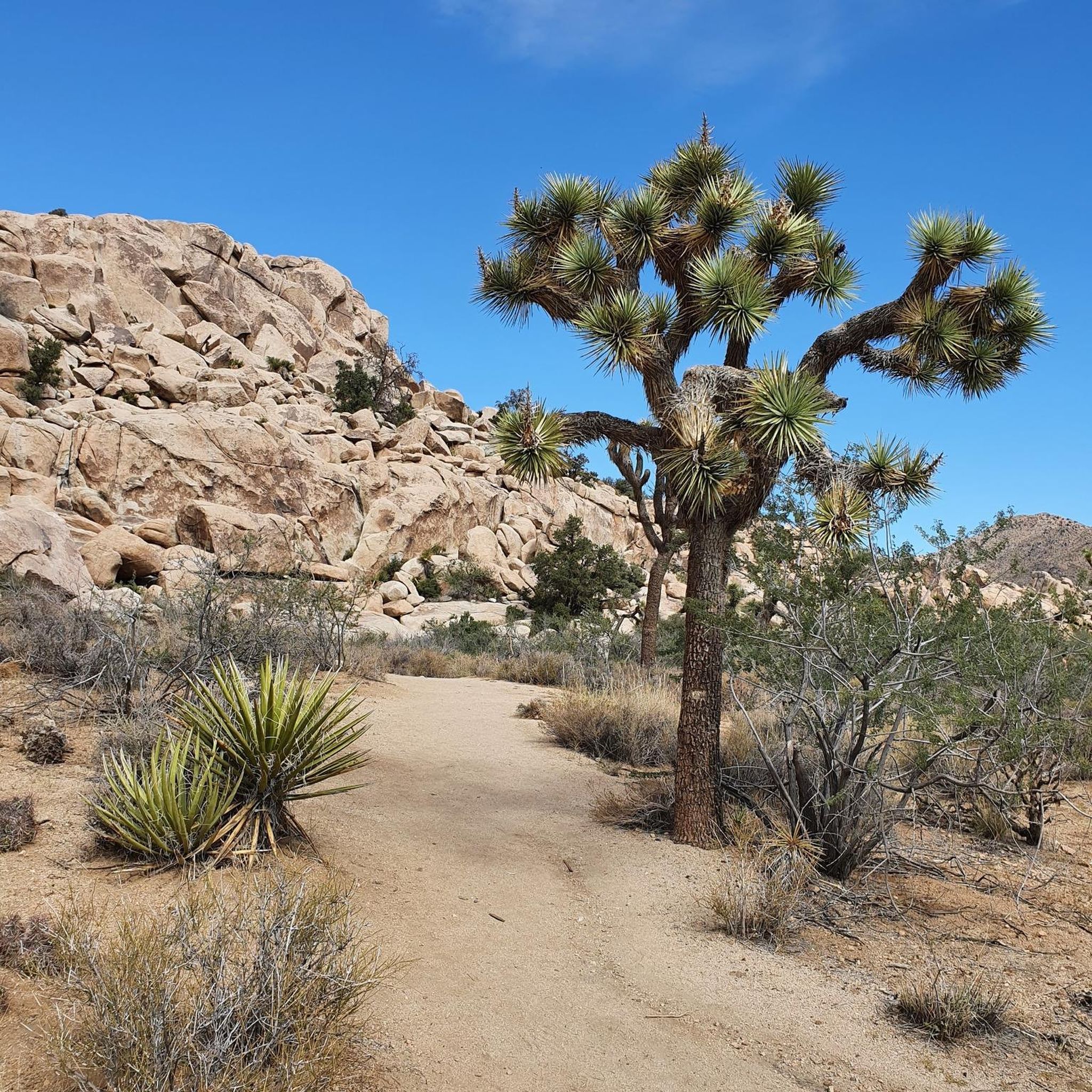
Hiking in the San Bernadino Mountains offers access to a diverse landscape within Southern California. The region is characterized by a mix of chaparral-covered foothills, oak woodlands, and high-elevation pine forests within the San Bernardino National Forest. The terrain includes prominent peaks, rolling hills, and areas surrounding freshwater lakes, providing a variety of hiking experiences.
Best hiking trails in the San Bernadino Mountains
- The most popular hiking route is Hidden Valley loop — Joshua Tree National Park, a 1.3…
Last updated: October 11, 2026
4.7
(71)
1,074
hikers
2.06km
00:33
20m
20m
Embark on an easy hike along the Barker Dam Nature Trail, a 1.3-mile (2.1 km) loop that takes you through classic Joshua Tree scenery. You will experience a gentle elevation…
4.8
(136)
2,144
hikers
2.02km
00:34
40m
40m
Explore the Hidden Valley Trail, an easy 1.3-mile (2.0 km) loop that takes about 33 minutes to complete. You will gain 129 feet (39 metres) in elevation as you wander…

4.8
(50)
431
hikers
9.84km
03:07
460m
320m
If you're ready for a rewarding moderate hike, the Warren Peak via Black Rock Canyon and Panorama Loop offers a great experience. This 6.1-mile (9.8 km) route takes about 3…
4.9
(13)
287
hikers
3.14km
00:52
50m
50m
Embark on an easy hike along the Split Rock Loop Trail, a 2.0-mile (3.1 km) route that offers a quintessential Joshua Tree experience. You will navigate sandy paths and rocky…
4.9
(42)
937
hikers
4.81km
01:44
300m
300m
Embark on the Ryan Mountain Trail, a moderate 3.0 miles (4.8 km) hike that leads you through the distinctive Mojave Desert landscape. You will gain 995 feet (303 metres) in…
4.6
(9)
121
hikers
3.39km
00:53
20m
20m
Embark on an easy 2.1-mile (3.4 km) hike along the Wall Street Mill Trail, a route that takes about 52 minutes to complete. You will gain a gentle 78 feet…
4.9
(56)
486
hikers
12.3km
03:47
450m
450m
Embark on the Warren Peak and Panorama Loop Trail, a moderate hike spanning 7.6 miles (12.3 km) with an elevation gain of 1492 feet (455 metres). You can expect to…
4.6
(8)
27
hikers
15.1km
04:39
570m
540m
Embark on the Eureka Peak and Burnt Hill Loop, a moderate hiking route that takes you through the diverse landscapes of Joshua Tree National Park. This trail offers a comprehensive…
4.8
(53)
456
hikers
10.0km
03:01
340m
340m
Embark on the Black Rock Canyon and Panorama Loop Trail, a moderate hiking route that guides you through the varied terrain of Joshua Tree National Park. You will cover 6.2…
4.0
(1)
51
hikers
6.83km
02:04
230m
210m
Embark on the Whitewater Canyon View Loop Trail for a moderate hike that showcases the desert's diverse beauty. You will traverse the wash of the Whitewater River, crossing via wooden…
Get access to more routes and recommendations from other explorers.
Already have an account?
Our route recommendations are based on thousands of hikes, rides, and runs completed by other people on komoot.
Start today with a free account
Your next adventure awaits.
Popular around San Bernadino Mountains

Other adventures in the San Bernadino Mountains

Tips from the Community

Ryan Mt. (1663m) is named after the early rancher and mine operator J.D. Ryan (he lived here from the mid-1890s – began building his ranch in 1896 – and also operated the nearby Lost Horse Mine – after all: the Lost Horse Mine produced more than 10,000 ounces of gold (approx. 280 kg) and 16,000 ounces of silver (approx. 450 kg) between 1894 and 1931). The trail itself is classified as "hard", it goes – well-maintained – moderately steep for us to the summit, here then 360° panoramic view! ATTENTION: rattlesnakes are said to be "at home" under the piled-up stones on the summit – so: keep your eyes and ears open!
0
0

To me, this rock looks like a flower or the flame of the Olympic torch :)
0
0
Fantastic 360° views from the summit dome in good visibility. In January, the summit was very windy (it's worth considering this when planning your clothing). There's virtually no shade on the trail – something to consider in summer. The trail is clear and not too demanding.
0
0

the effort to brave the heat
0
0

Looks good
0
0

Good to walk and not too long. But take water with you. The panorama really impressed me. One of the most beautiful places ever.
0
0

Looking west from the summit you can see across Pinto Basin to Joshua Tree National Park. Indeed, Ryan Mountain has its own display of unique desert flora. The trail starts flat and becomes more steep as you climb, offering spectacular panoramic views and plenty of space to explore at the summit.
0
0

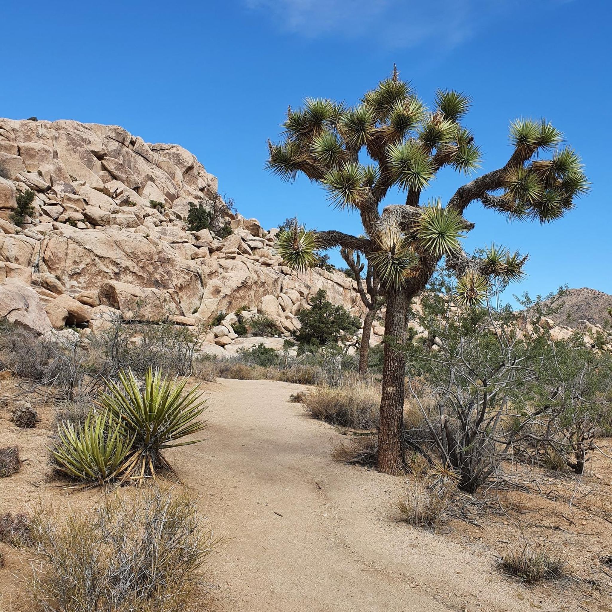
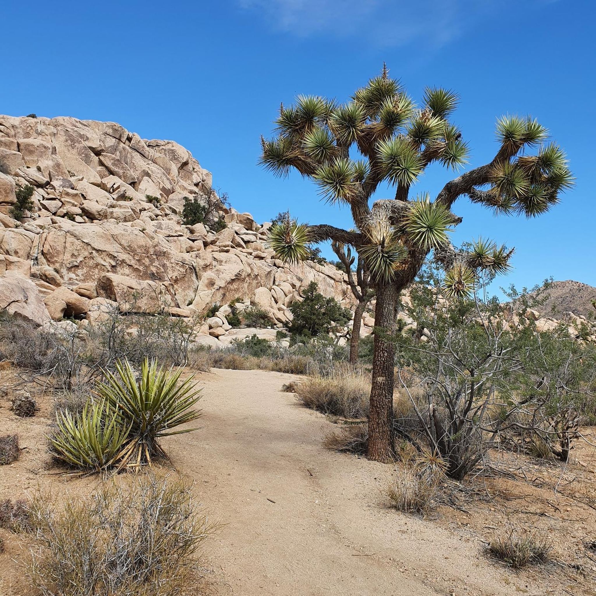
The Hidden Valley Trail is a one-mile loop that offers meander through large rock formations, perfect for families and rock scrambling. Along the trail, you’ll find educational signs about local plants and animals, and you can spot "Cow Rock," a cow-shaped formation on the valley wall. The trail is easy but includes stairs and rock steps at the start and end. It’s a popular hike, so arriving early, especially on weekends, is recommended. The trail has little shade and bad cell service.
1
0
Frequently Asked Questions
What's the best time of year for hiking in the San Bernardino Mountains?
The San Bernardino Mountains offer year-round hiking, but the experience varies greatly with the season. Summer is ideal for exploring the high-elevation pine forests around Big Bear Lake and Lake Arrowhead, offering an escape from the heat. Spring brings pleasant temperatures and blooming wildflowers. Autumn provides cooler weather and beautiful fall colors. Winter hiking is possible on lower-elevation trails, but higher peaks like San Gorgonio will be covered in snow and require specialized gear and experience.
Are there any easy, family-friendly hikes in the area?
Yes, there are many options for families. The Mastodon Peak Loop Trail is a great choice, offering a relatively short walk with interesting rock formations. Another popular and easy outing is the Heart Rock Trail near Crestline, which leads to a unique heart-shaped carving in the rock next to a small waterfall.
Do I need a permit or pass to hike in the San Bernardino Mountains?
For many areas within the San Bernardino National Forest, you will need to display an Adventure Pass in your vehicle. Additionally, for any hiking within the San Gorgonio Wilderness, a free Wilderness Permit is required for both day hikes and overnight trips. These permits are essential for visitor management and safety, so be sure to obtain one in advance.
Can I bring my dog on the trails?
Dogs are generally permitted on most trails in the San Bernardino National Forest, provided they are on a leash. However, they are not allowed in certain protected areas, such as the San Gorgonio Wilderness or on trails within Joshua Tree National Park. Always check the specific regulations for the trail you plan to hike before bringing your dog.
Are there any hikes that lead to waterfalls?
Yes, the Big Falls Trail is a very popular option that leads to one of the tallest year-round waterfalls in Southern California. The trail itself is relatively short but offers a spectacular view of the falls. Another option is the Heart Rock Trail, which features a smaller, charming cascade next to its namesake rock formation.
What are some good trails for beginners?
If you're new to hiking, the Skull Rock Nature Trail and Split Rock loops offer a fantastic introduction. These trails are relatively flat and short, winding through some of the iconic rock formations and desert landscapes of the region. The Heaps Peak Arboretum also has an easy one-mile loop that is both scenic and educational.
How many hiking trails are in the San Bernardino Mountains?
There are over 220 designated hiking routes in the San Bernardino Mountains on komoot, ranging from easy nature walks to strenuous peak ascents. This extensive network covers diverse ecosystems, from the desert floor of Joshua Tree to the alpine forests of the high country, ensuring there's a trail for every skill level.
What do other hikers enjoy about the San Bernardino Mountains?
The region is highly rated by the komoot community. Hikers frequently praise the incredible diversity of the landscape, from the unique desert flora of Joshua Tree to the cool, shaded pine forests at higher elevations. The accessibility of challenging peaks and the stunning panoramic views are also commonly highlighted in reviews.
Are there any good circular or loop hikes?
The Lost Horse Mine Loop Trail is a fantastic moderate loop that takes you past historical mining artifacts with great views of the surrounding desert. For a longer, more challenging day, the Black Rock Canyon Trail & Panorama Loop Trail offers sweeping vistas and a true sense of wilderness.
What are the options for multi-day backpacking trips?
The San Gorgonio Wilderness is the premier destination for backpacking in the region, offering numerous trail combinations for multi-day trips. A popular route involves hiking to one of the backcountry camps like High Creek or Dry Lake View before summiting San Gorgonio Peak the next day. Remember that a wilderness permit is mandatory for all overnight stays.
What is the most challenging hike in the area?
The ascent of Mount San Gorgonio, the highest peak in Southern California, is widely considered the most strenuous challenge. The Vivian Creek Trail is the shortest and steepest route to the summit, gaining over 5,000 feet in elevation. It's a demanding, full-day effort that requires excellent physical condition and, depending on the season, experience with snow and ice.
How do I get to the trailheads and where can I park?
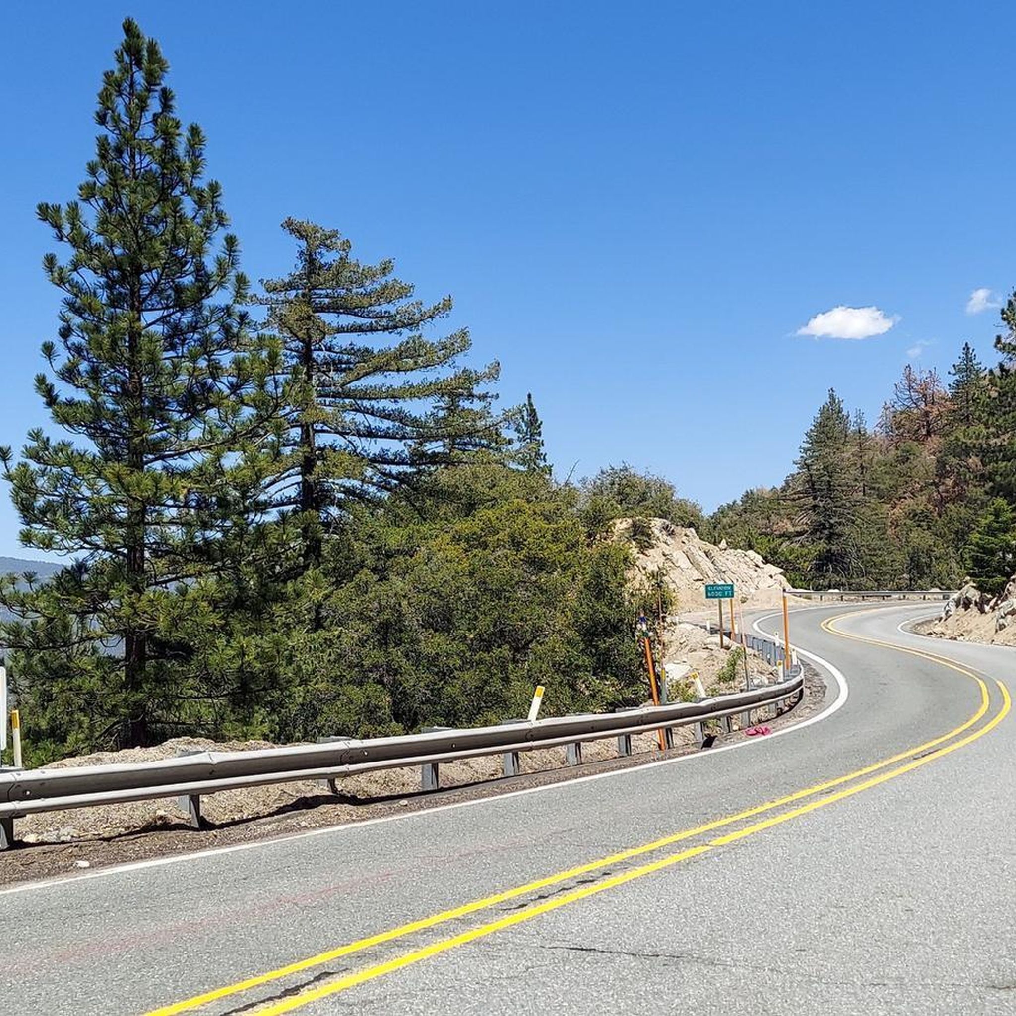
Most trailheads are accessible by car via scenic routes like the Rim of the World Scenic Byway (Highway 18). Parking is available at most major trailheads, but lots can fill up quickly, especially on weekends. It's best to arrive early. Public transportation options are limited, so a personal vehicle is the most reliable way to access the trails. Remember that an Adventure Pass is often required for parking within the National Forest.
Most popular routes in the San Bernadino Mountains
Most popular attractions in the San Bernadino Mountains

Get inspired with the komoot mobile app


Explore more
Browse the best Hikes in other regions.
