The best running trails around Serle
4.2
(163)
9,846
runners
426
runs
Jogging around Serle offers diverse terrain for runners. The region is characterized by its varied landscape, including the Carso Bresciano area with its limestone features and the Altopiano di Cariadeghe. Trails often lead through woodlands and open areas, providing a mix of gradients. Runners can expect routes that traverse both gentle slopes and more challenging ascents.
Best jogging routes around Serle
- The most popular jogging route is Carso Bresciano Trail, a 2.6 miles (4.3 km) trail that takes 47 minutes to complete. This route features varied terrain within the Carso Bresciano area.
- Another top favourite among local runners is Prato della Carlina loop from Monumento Naturale Altopiano di Cariadeghe, a moderate 5.0 miles (8.1 km) path. This route explores the natural monument area, offering scenic views and a mix of surfaces.
- Local runners also love the Dosso dei Lupi loop from Vallio Terme, a 6.5 miles (10.4 km) trail leading through hilly terrain, often completed in about 1 hour 25 minutes.
- Jogging around Serle is defined by limestone plateaus, woodlands, and varied elevation changes. The network offers options for different ability levels, from easy paths to more difficult ascents.
- The routes in Serle are highly rated by the komoot community with an average score of 4.3 stars from over 160 reviews. More than 8000 runners have used komoot to explore Serle's varied terrain.
Last updated: June 23, 2026
21
runners
8.06km
00:57
220m
220m
Moderate run. Good fitness required. Mostly paved surfaces. Suitable for all skill levels.
14
runners
9.93km
01:08
270m
270m
Hard run. Good fitness required. Sure-footedness, sturdy shoes and alpine experience required.

Sign up for free
11
runners
7.30km
00:54
320m
320m
Hard run. Very good fitness required. Mostly paved surfaces. Suitable for all skill levels.
11
runners
Moderate run. Good fitness required. Mostly paved surfaces. Suitable for all skill levels.
7
runners
Moderate run. Good fitness required. Mostly paved surfaces. Suitable for all skill levels.
Get access to more routes and recommendations from other explorers.
Sign up for free
Already have an account?
Our route recommendations are based on thousands of hikes, rides, and runs completed by other people on komoot.
Start today with a free account
Your next adventure awaits.
Login or Signup
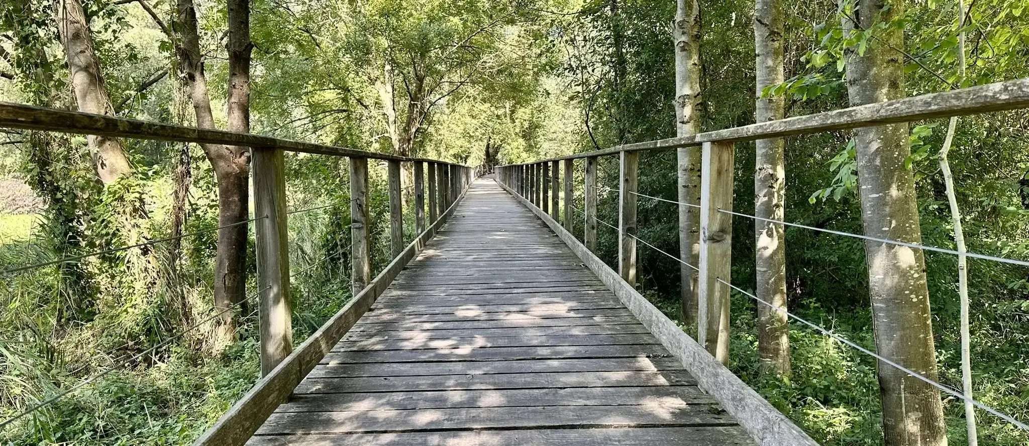
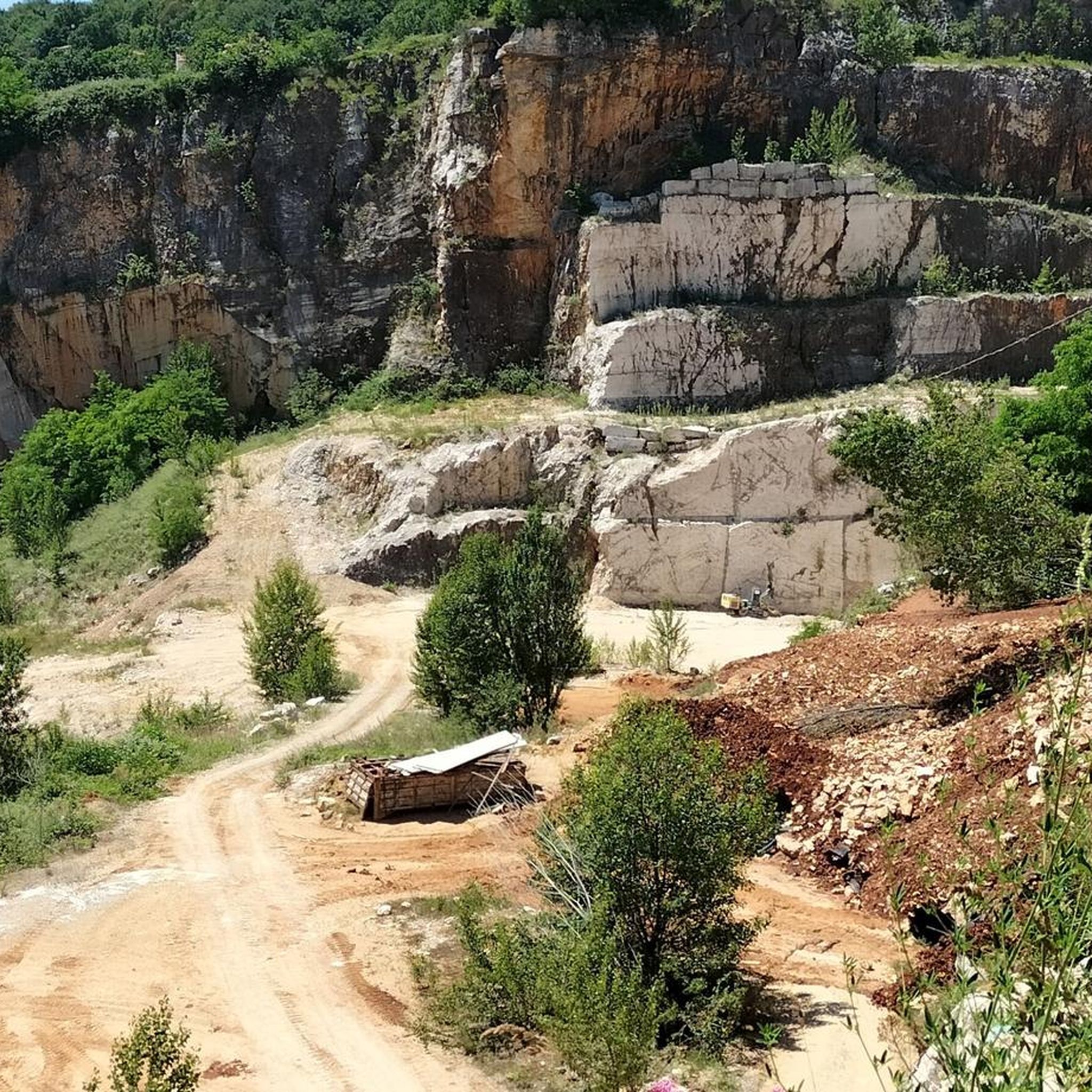
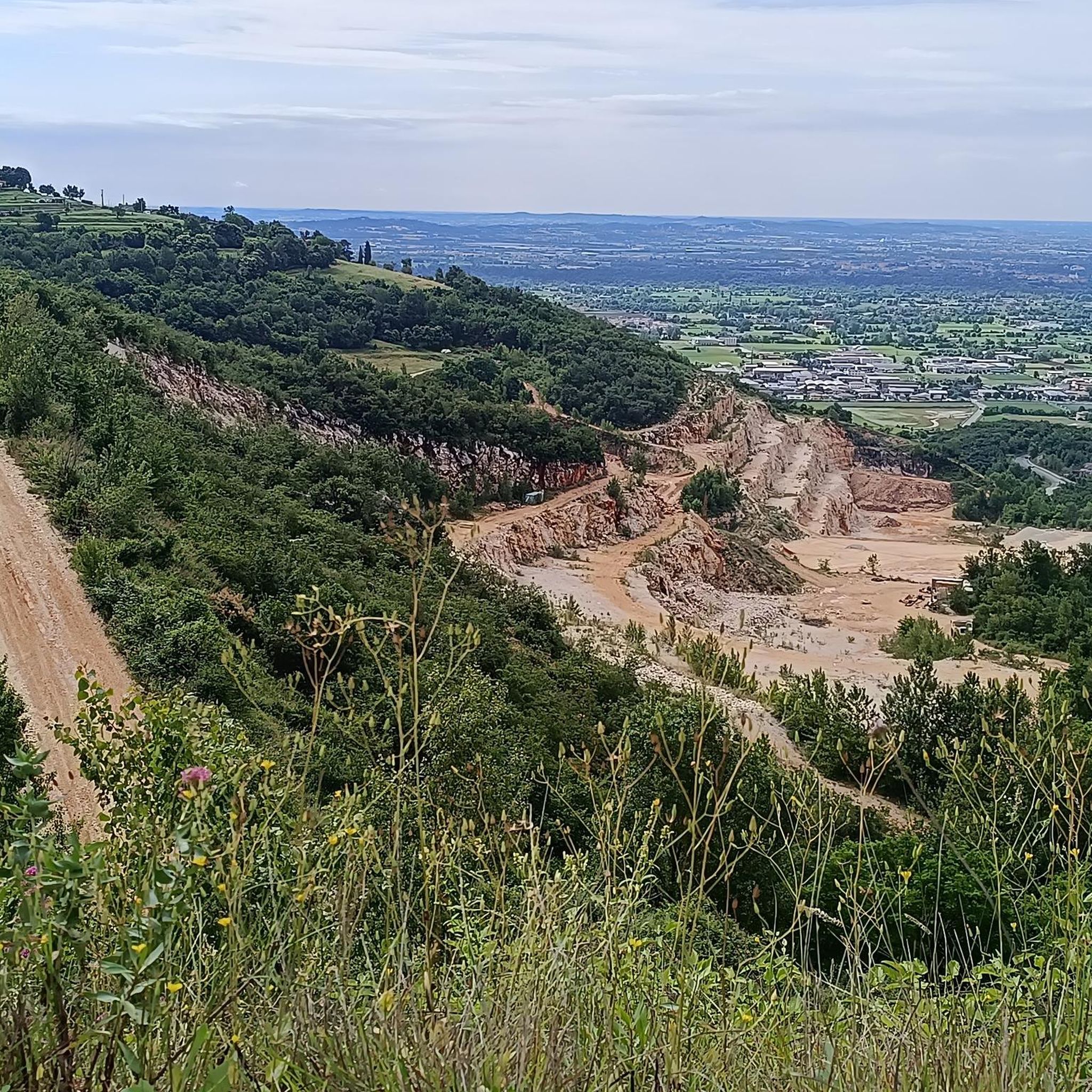
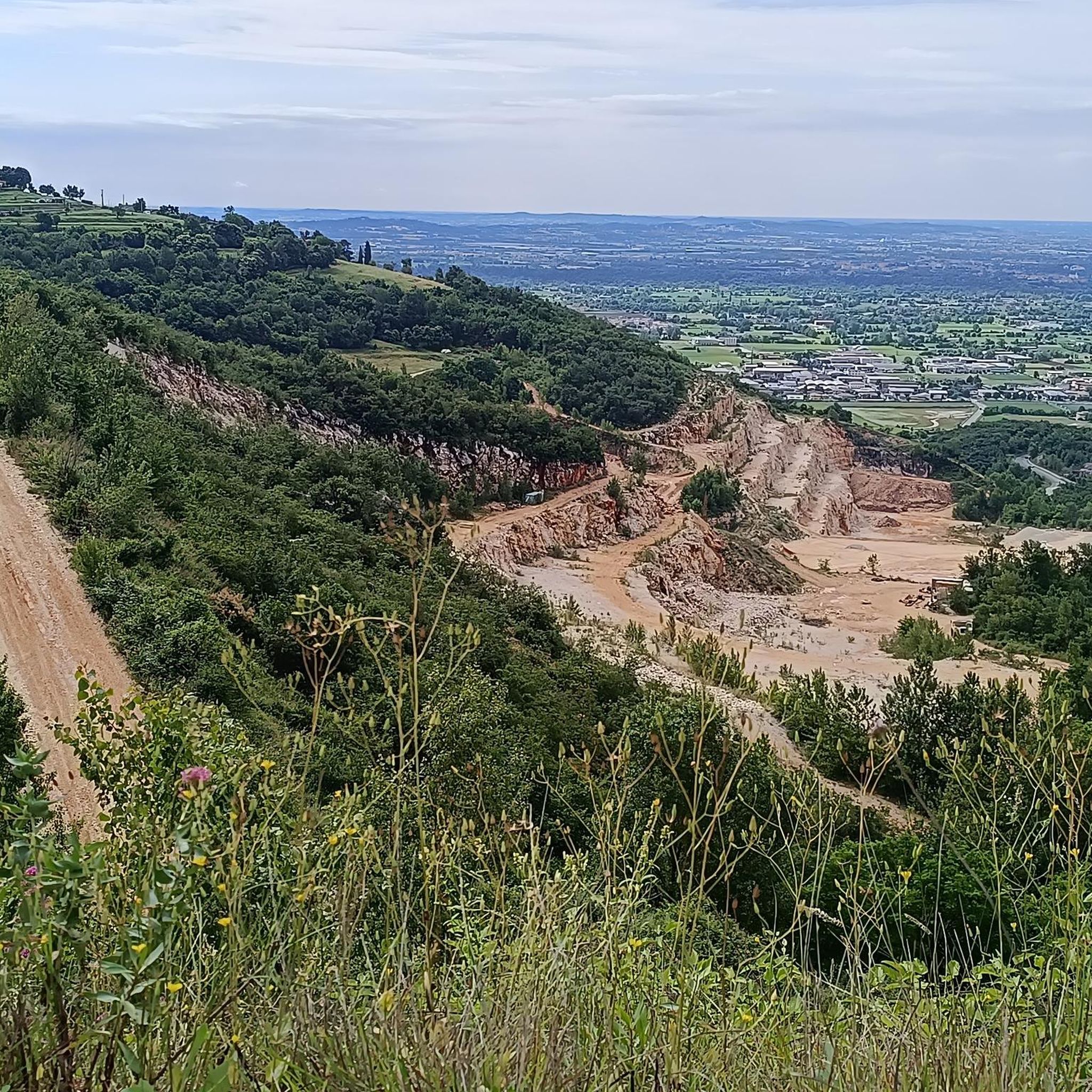

Other adventures around Serle

Tips from the Community

panoramic view
1
0
Church of San Martino
0
0
Trench coat
0
0

nice panoramic point over the plain
1
0
beautiful little church that looks like the top of the hill after 3 km of climbing but.... it's not like that
0
0

spectacular to cycle on these paths, I participated in the marmol top
0
0

Valpiana, a simply fantastic stretch of gravel road
0
0

nice little place to stay on the opposite side of the cycle path
0
0
Frequently Asked Questions
How many running routes are available around Serle?
There are over 380 running routes around Serle, offering a wide variety of options for different preferences and fitness levels. These include 29 easy routes, 213 moderate routes, and 146 difficult routes.
What kind of terrain can I expect on jogging routes in Serle?
Jogging around Serle features diverse terrain, including the Carso Bresciano area with its distinctive limestone features and the Altopiano di Cariadeghe. Trails often lead through woodlands and open areas, providing a mix of gradients from gentle slopes to more challenging ascents.
Are there any easy jogging routes in Serle?
Yes, Serle offers 29 easy jogging routes. These paths are generally less demanding, making them suitable for beginners or those looking for a relaxed run. You can find options that traverse woodlands and open areas with gentler slopes.
Can I find circular running routes near Serle?
Many of the running routes around Serle are circular, allowing you to start and finish at the same point. An example is the Prato della Carlina loop from Monumento Naturale Altopiano di Cariadeghe, which is a moderate 5.0-mile (8.1 km) path exploring the natural monument area.
Are the jogging trails around Serle suitable for families?
While specific family-friendly routes are not explicitly listed, the 29 easy routes available in Serle would likely be suitable for families looking for less strenuous jogging options. Always check the route details for distance and elevation to ensure it matches your family's capabilities.
Are dogs allowed on the running trails in Serle?
Generally, dogs are welcome on many outdoor trails in Italy, especially if kept on a leash. However, it's always best to check local signage at trailheads or specific park regulations within areas like the Carso Bresciano or Altopiano di Cariadeghe to confirm dog-friendly policies for each route.
Where can I find parking for jogging routes near Serle?
Parking for jogging routes in Serle is typically available at or near trailheads, especially in villages or designated recreational areas. For routes like those starting from Monumento Naturale Altopiano di Cariadeghe, you can often find parking facilities close to the natural monument.
What are some scenic jogging routes with good viewpoints in Serle?
The region around Serle is known for its scenic beauty. Routes exploring the Altopiano di Cariadeghe, such as the Sella delle Casine Ece loop from Monumento Naturale Altopiano di Cariadeghe, often offer scenic views of the limestone plateau and surrounding woodlands. Many trails provide glimpses of the varied landscape.
How long do the running routes typically take to complete?
The duration of running routes in Serle varies significantly based on distance and difficulty. For example, the Carso Bresciano Trail (2.6 miles / 4.3 km) takes about 47 minutes, while the Dosso dei Lupi loop from Vallio Terme (6.5 miles / 10.4 km) typically takes around 1 hour 25 minutes.
What interesting sights can I see while jogging around Serle?
While jogging around Serle, you can explore various points of interest. The region is home to several castles, such as Brescia Castle and Drugolo Castle. For those interested in natural landmarks, you might encounter mountain peaks like the Summit of Monte Denno or the Monte Prealba Summit Cross, offering rewarding views.
What do other runners say about the trails in Serle?
The running trails in Serle are highly rated by the komoot community, with an average score of 4.3 stars from over 160 reviews. Runners often praise the varied terrain, the natural beauty of the Carso Bresciano and Altopiano di Cariadeghe, and the options available for different ability levels.
What is the best time of year for running in Serle?
The best time for running in Serle is generally during the spring (April-June) and autumn (September-October) months. During these periods, the weather is typically mild and pleasant, with comfortable temperatures for outdoor activities. Summer can be warm, especially at midday, while winter might bring colder temperatures and potential snow at higher elevations.
Most popular attractions around Serle

Get inspired with the komoot mobile app


Explore more
Browse the best Running Trails & Routes in other regions.
