The best running trails around Marmentino
4.7
(9)
1,526
runners
79
runs
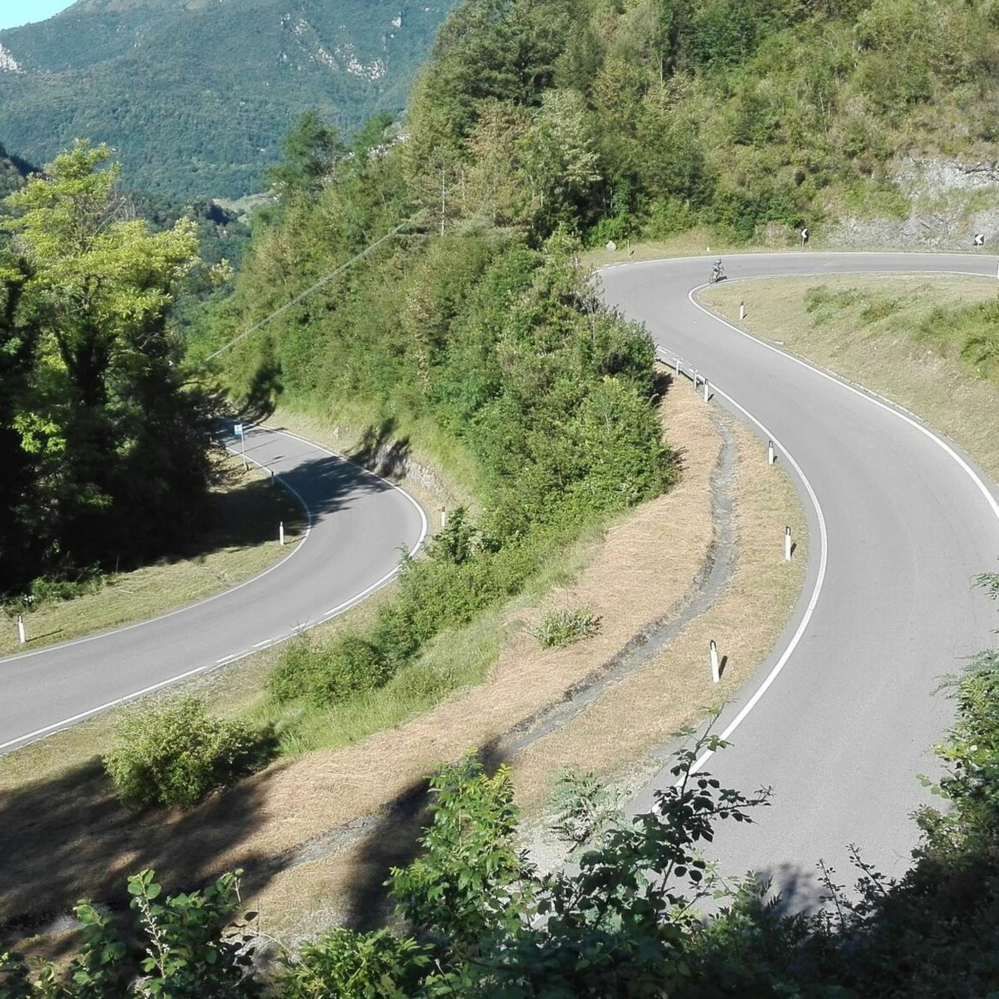
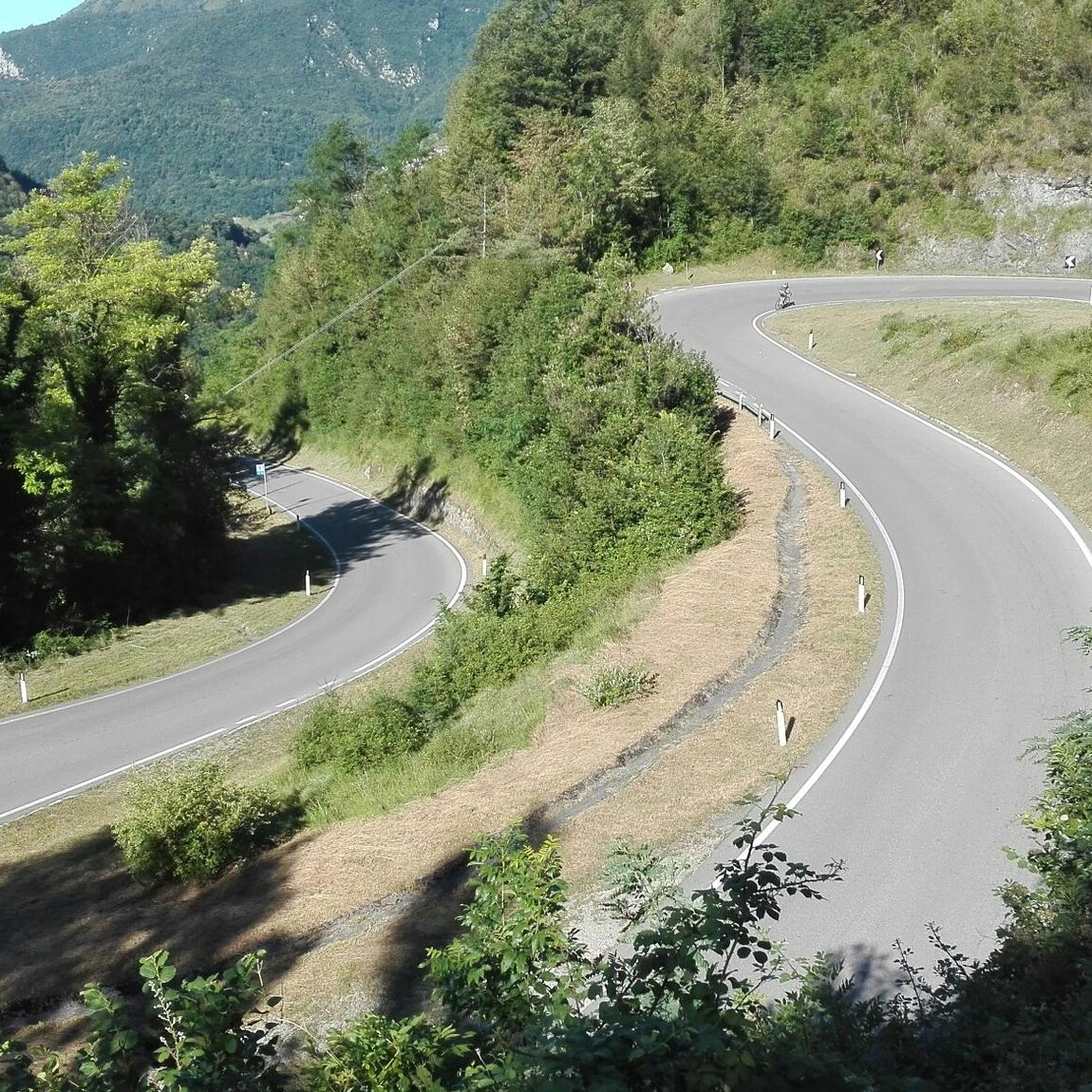
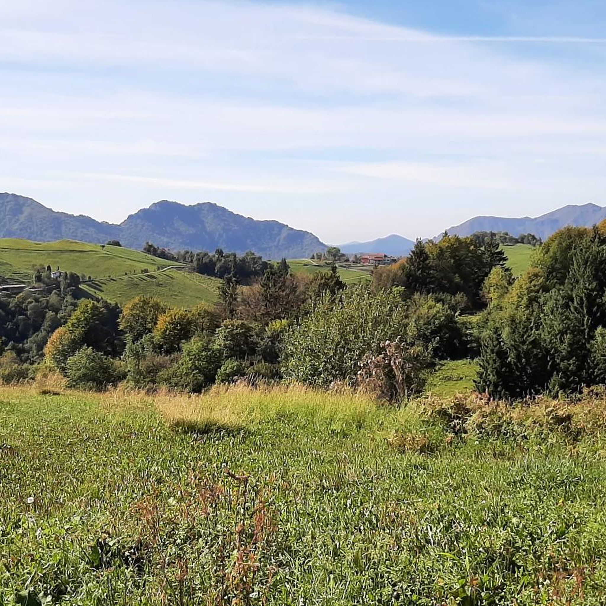
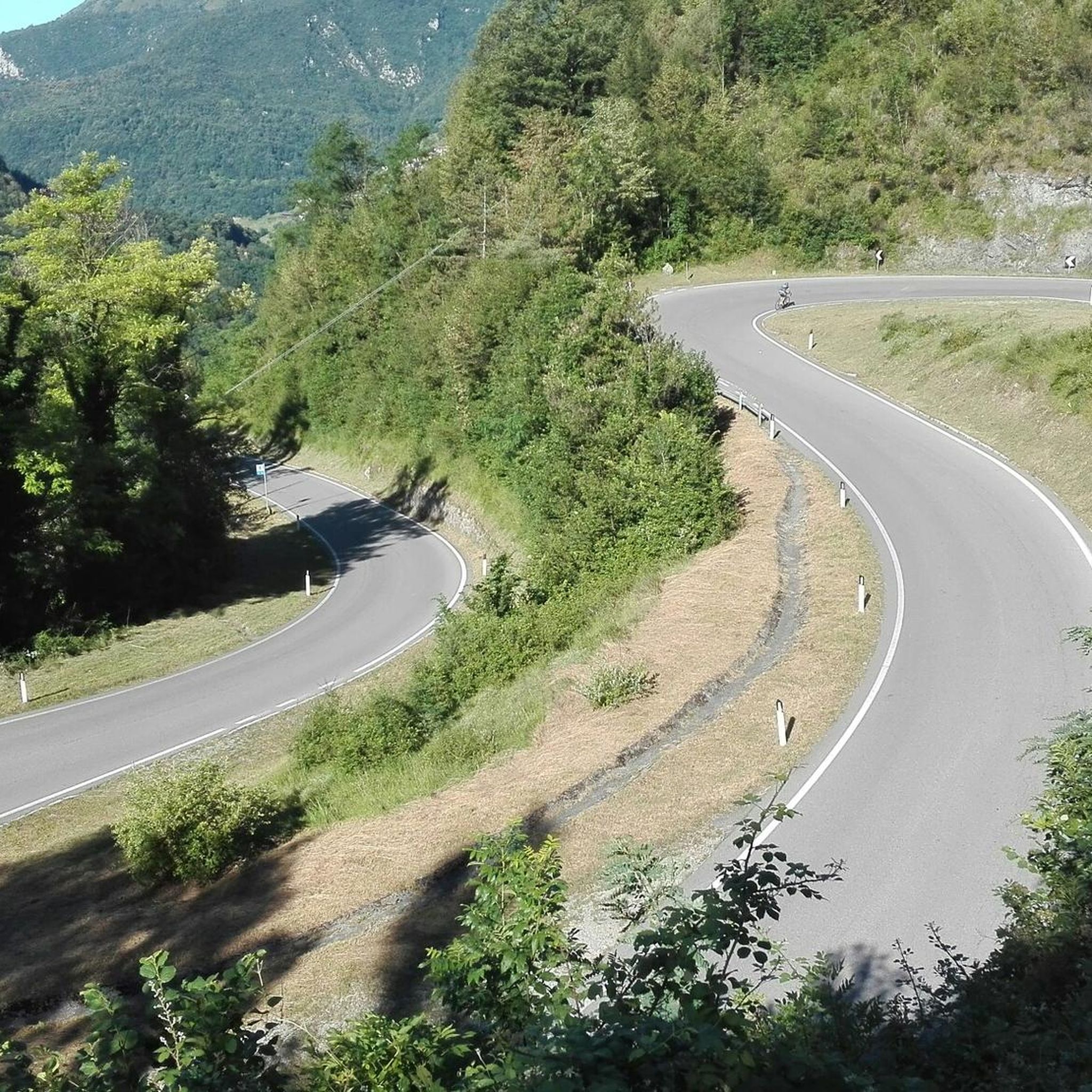
Jogging around Marmentino offers diverse terrain within the Valle Trompia, characterized by a mountainous environment with prominent peaks like Monte Guglielmo and Monte Ario. The region features extensive woodlands, riparian trees, and numerous streams, particularly in the Val Delle Melle. These natural features provide a variety of running experiences, from gentler paths to challenging ascents. The well-maintained trail networks cater to different fitness levels, making it a suitable destination for outdoor enthusiasts.
Best jogging routes around Marmentino
- The most popular…
Last updated: July 6, 2026
54
runners
26.8km
03:34
1,070m
1,070m
Hard run. Very good fitness required. Sure-footedness, sturdy shoes and alpine experience required.
37
runners
31.8km
04:54
1,700m
1,700m
Hard run. Very good fitness required. Sure-footedness, sturdy shoes and alpine experience required.

Sign up for free
14
runners
13.3km
01:25
160m
160m
Moderate run. Good fitness required. Mostly paved surfaces. Suitable for all skill levels.
4.0
(1)
11
runners
Hard run. Very good fitness required. Sure-footedness, sturdy shoes and alpine experience required.
7
runners
9.31km
01:37
590m
590m
Hard run. Very good fitness required. Sure-footedness, sturdy shoes and alpine experience required.
Get access to more routes and recommendations from other explorers.
Sign up for free
Already have an account?
Our route recommendations are based on thousands of hikes, rides, and runs completed by other people on komoot.
Start today with a free account
Your next adventure awaits.
Login or Signup


Other adventures around Marmentino

Tips from the Community


Monte Guglielmo (known in the Brescian dialect as Gölem or Culmine) is a mountain in the Brescian Prealps, 1,957 meters high. Located in Lombardy, it stretches along the mountain ridge that separates the middle Val Trompia from the basin of Lake Iseo and the lower Valle Camonica. It is the most iconic, frequented, and beloved peak by Brescian hikers.
0
0

Punta Caravina is an iconic ridge and viewpoint located at 1,850 meters above sea level in Lombardy, along the Monte Guglielmo massif (known in the Brescian dialect as Gölem or Gem). It is located in the province of Brescia, in the mountainous territory overlooking the upper Lake Iseo and the eastern shore of Val Camonica. The summit offers an extraordinary panorama stretching from the Orobie Bergamasche to the Adamello.
1
0

in June the blooming of the laburnums creates a fairytale setting
0
0
In June, the blooming of the laburnums creates a fairytale setting
0
0

Just north of the 1,476-meter peak of Monte Bifo, this crossroads of trails allows you to continue towards Monte Guglielmo and the Almici refuge, or continue towards Passo Lividino. The view of the surrounding mountains is remarkable.
0
0

Spectacular stretch surrounded by nature, perfect and fun surface for gravel
0
0

Frequently Asked Questions
How many running routes are available around Marmentino?
Marmentino offers a wide selection of nearly 70 running routes, catering to various fitness levels. You'll find everything from moderate loops to challenging mountain ascents.
Are there any easy or beginner-friendly jogging routes in Marmentino?
Yes, while many routes are challenging, Marmentino does offer some easier options. The Val Delle Melle and Molino di Marmentino Path is particularly suitable for a gentler jogging experience due to its relatively flat profile. It's about 2 km long and winds through picturesque scenery.
What are the typical lengths and durations of running trails in the Marmentino area?
Running trails around Marmentino vary significantly in length and duration. You can find moderate routes like the Running loop from Tavernole sul Mella, which is about 13.4 km and takes around 1 hour 25 minutes. More challenging options, such as the Forcelino (1,070 m) loop from Tavernole sul Mella, can be over 31 km and require several hours to complete.
Are there any circular running routes available in Marmentino?
Absolutely. Many of the running routes in Marmentino are designed as loops, offering a convenient way to start and finish in the same location. Examples include the Forcelino (1,070 m) loop from Tavernole sul Mella and the Malga Pian del Bene di Sotto – View of Monte Tigaldine loop from Marmentino.
What scenic viewpoints or landmarks can I expect to see while jogging in Marmentino?
Marmentino's mountainous terrain offers numerous scenic viewpoints. You can enjoy panoramic views from peaks like Monte Guglielmo Summit, which on clear days stretches from the plain to Lake Iseo and even Monte Rosa. The route to Monte Ario also provides evocative landscapes and botanical variety. You might also encounter historical elements like the 16th-century mill in Val Delle Melle.
What do other runners enjoy most about jogging in Marmentino?
The running trails in Marmentino are highly rated by the komoot community, with an average score of 4.9 stars from 9 reviews. Runners often praise the diverse terrain, from dense woodlands to scenic valleys, and the challenging yet rewarding mountain ascents that offer stunning views.
Are there any specific trails suitable for families or those looking for a less strenuous run?
For families or those seeking a gentler pace, the Val Delle Melle and Molino di Marmentino Path is an excellent choice. It's relatively flat, about 2 km long, and features the historical 16th-century mill, a barbecue area, and a fountain, making it a pleasant spot for a leisurely run or walk.
What is the best time of year for running in Marmentino?
Marmentino's trails are generally suitable for running throughout all seasons, especially those on Monte Guglielmo. However, the mountainous environment means conditions can vary. Spring and autumn offer pleasant temperatures and vibrant scenery, while summer provides longer daylight hours. Winter running is possible, but some higher-altitude trails might require appropriate gear or be less accessible due to snow.
Are there any challenging trail running options for experienced runners in Marmentino?
Yes, Marmentino is an excellent destination for experienced trail runners. Routes like the Forcelino (1,070 m) loop from Tavernole sul Mella, with its significant elevation gain and distance, provide a strenuous workout. The ascent to Monte Ario from Marmentino also offers a challenging experience with an altitude difference of 879 meters over 6 km.
Where can I find more information about the Marmentino region and its outdoor activities?
For additional information about Marmentino and its diverse outdoor offerings, including trekking and walks, you can visit the official Valle Trompia tourism website: visitvalletrompia.it.
Are there any specific trails that lead to prominent peaks or offer significant elevation gain?
For runners seeking significant elevation gain and rewarding summit views, the trails leading to Monte Guglielmo are highly recommended. The route from Marmentino to Monte Ario is another excellent option, covering 6 km with an 879-meter elevation gain, offering stunning botanical variety and evocative landscapes.
Most popular routes around Marmentino
Most popular attractions around Marmentino

Get inspired with the komoot mobile app


Explore more
Browse the best Running Trails & Routes in other regions.
