Top 20 Mountain Passes around Marcheno
Mountain passes around Marcheno, situated in the Val Trompia region, offer access to a network of trails popular with hikers and cyclists. The area is characterized by scenic views and connections to significant peaks like Monte Guglielmo and various refuges. These passes serve as key points for exploring the natural landscape of the Brescia province.
Best mountain passes around Marcheno
- The most popular mountain pass is Sella dell'Oca Pass, a mountain pass located on the ridge dividing Valle Trompia…
Last updated: June 26, 2026
Sella dell'Oca Pass
Highlight • Mountain Pass
A place where nature reigns.
From here an …
Translated by Google •
Tip by

Colle di San Zeno Pass
Highlight • Mountain Pass
Translated by Google •
Tip by

Sign up now to discover places like this
Get recommendations on the best single tracks, peaks, & plenty of other exciting outdoor places.
Sign up for free
Passo Spino
Highlight • Mountain Pass
It is a small wooded pass, not marked by structures or refuges.
It is located on the road/mule track that connects the two main passes in the area:
Croce di Marone
Showing Translation
Tip by

Forcella di Sale
Highlight • Mountain Pass
Translated by Google •
Tip by

Passo Croce
Highlight • Mountain Pass
Here you can fill your water supplies, the locals call this place: "il fontanone" …
Translated by Google •
Tip by

Sign up for free to discover even more mountain passes around Marcheno.
Sign up for free
Already have an account?
Start today with a free account
Your next adventure awaits.
Login or Signup
Popular around Marcheno
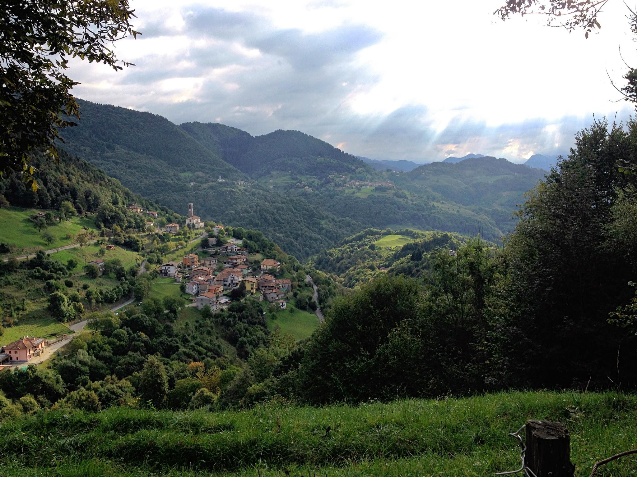
Far from the asphalt – the slopes of the middle Trompia Valley
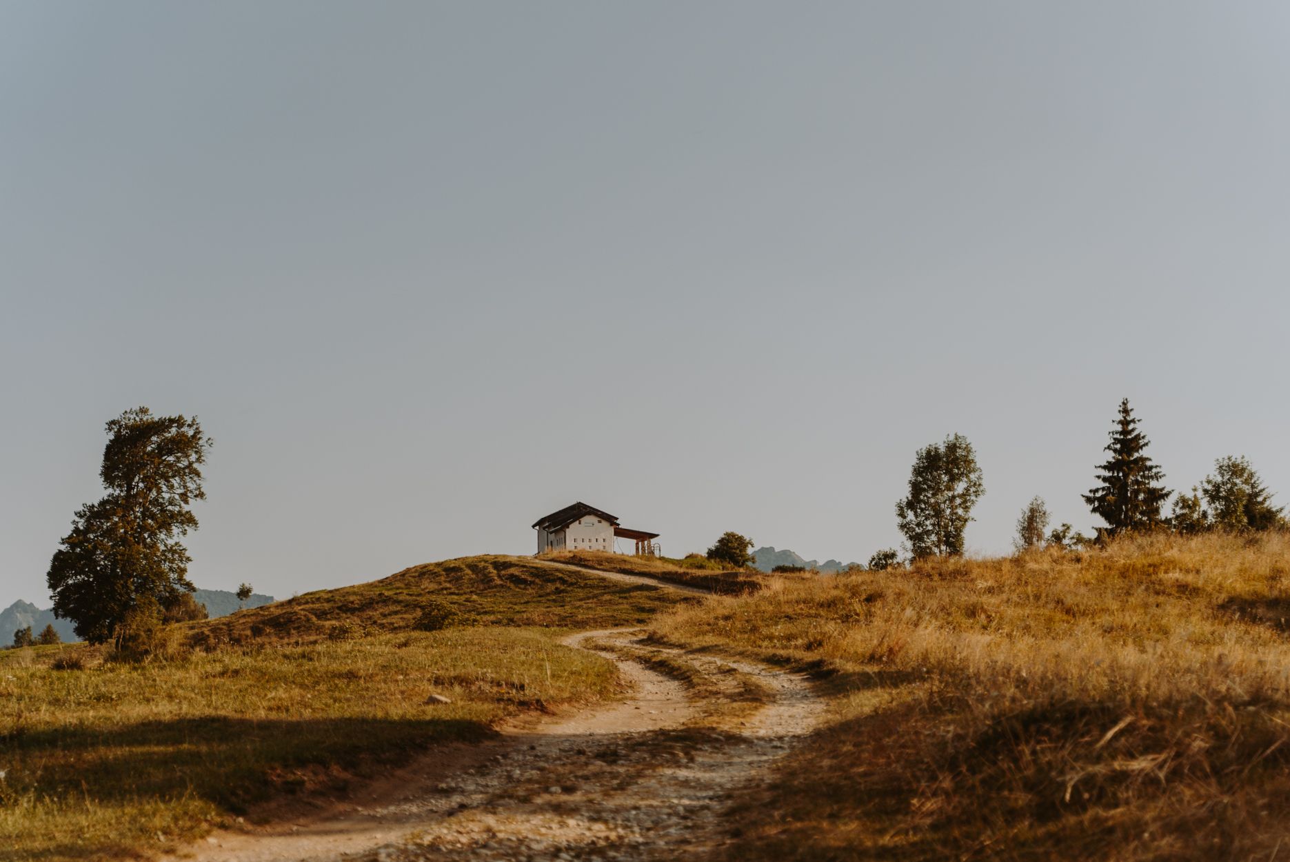
Superb descents and old huts – Italy’s upper Trompia Valley by MTB
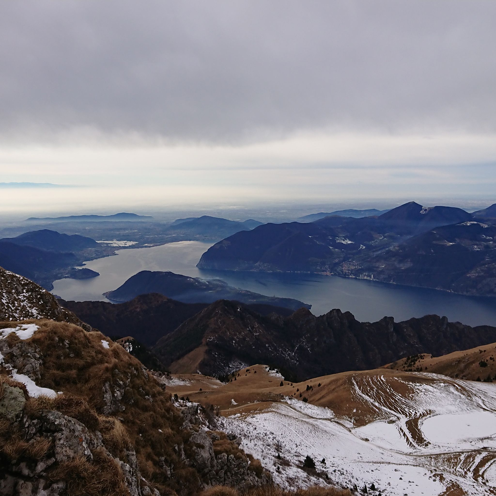
Hiking around Marcheno
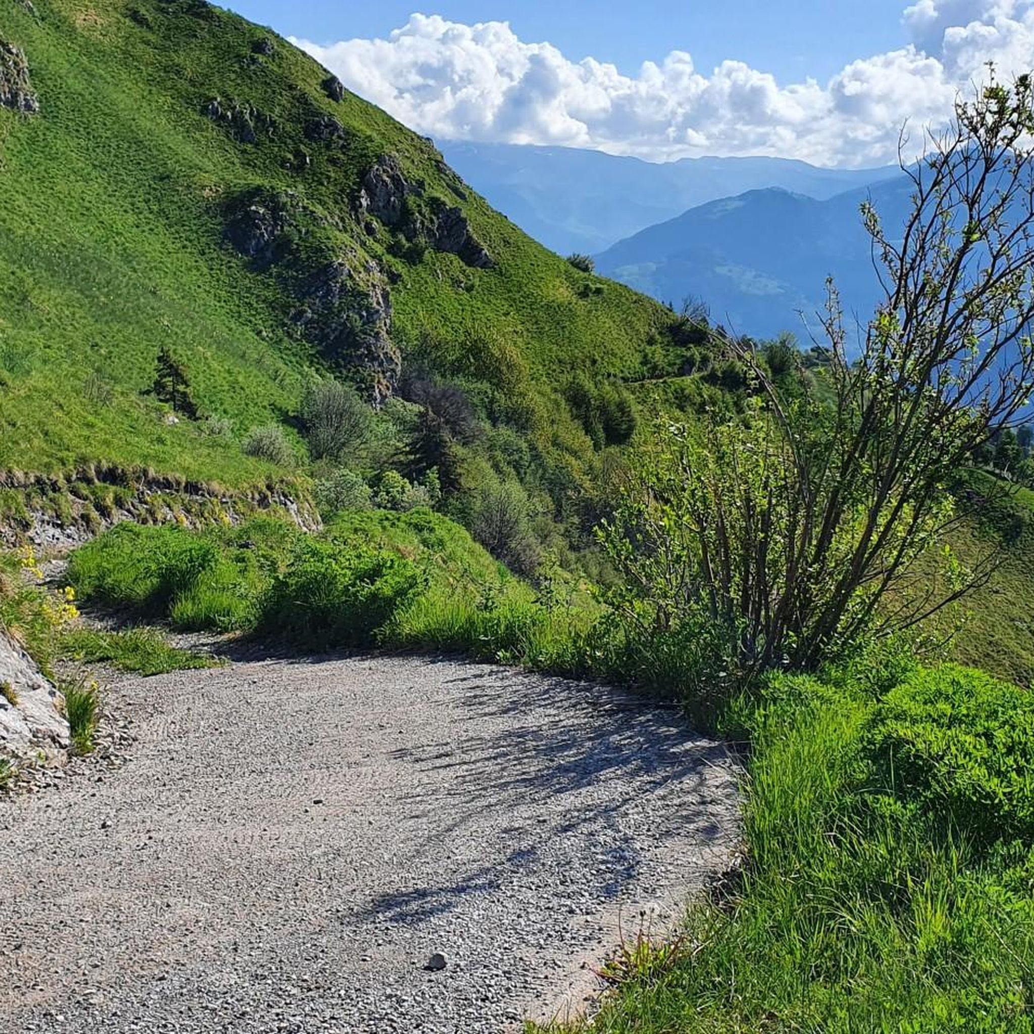
MTB Trails around Marcheno
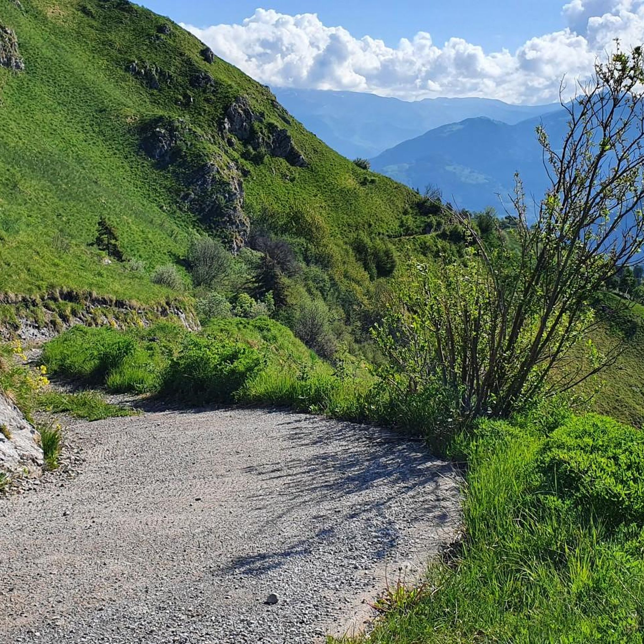
Road Cycling Routes around Marcheno
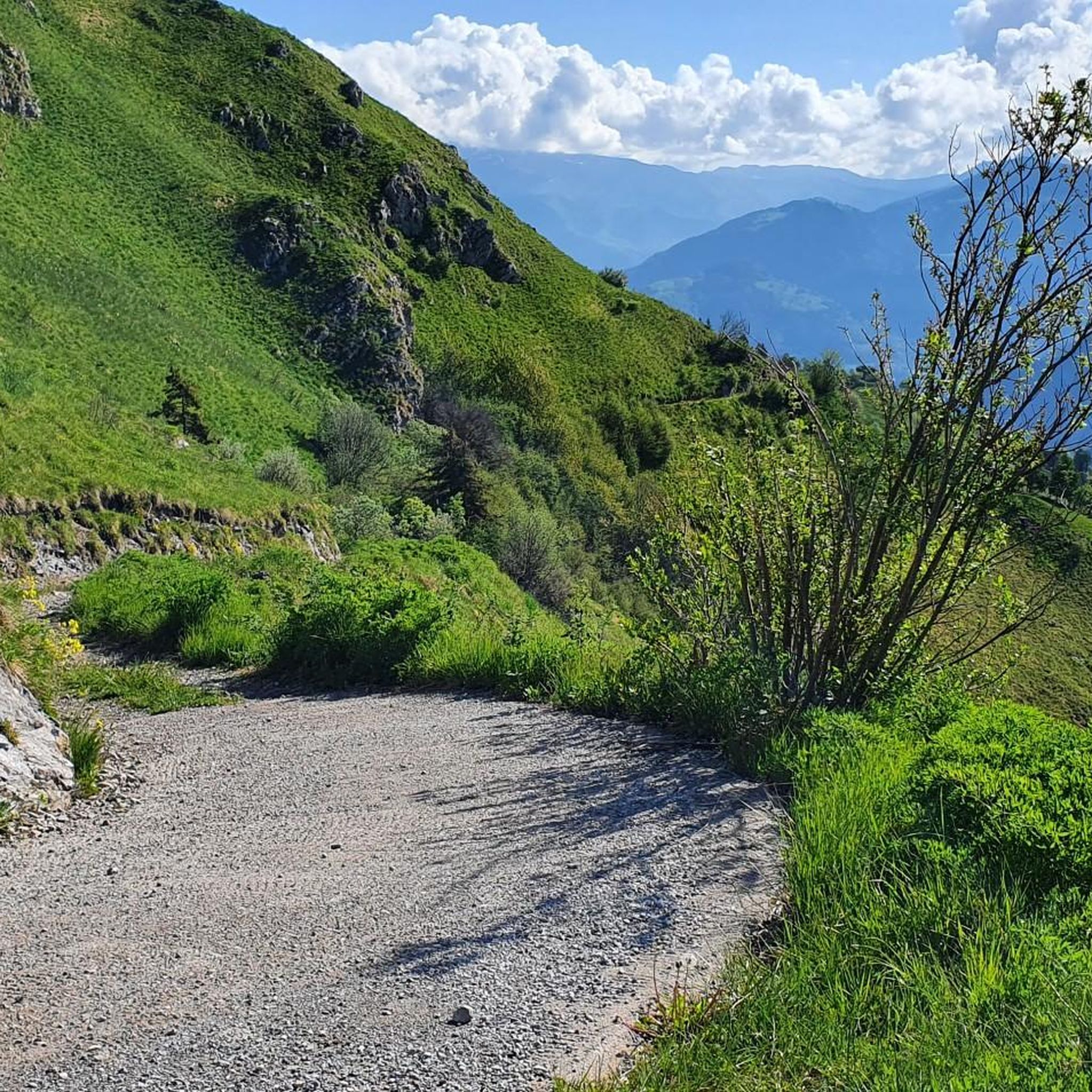
Cycling around Marcheno
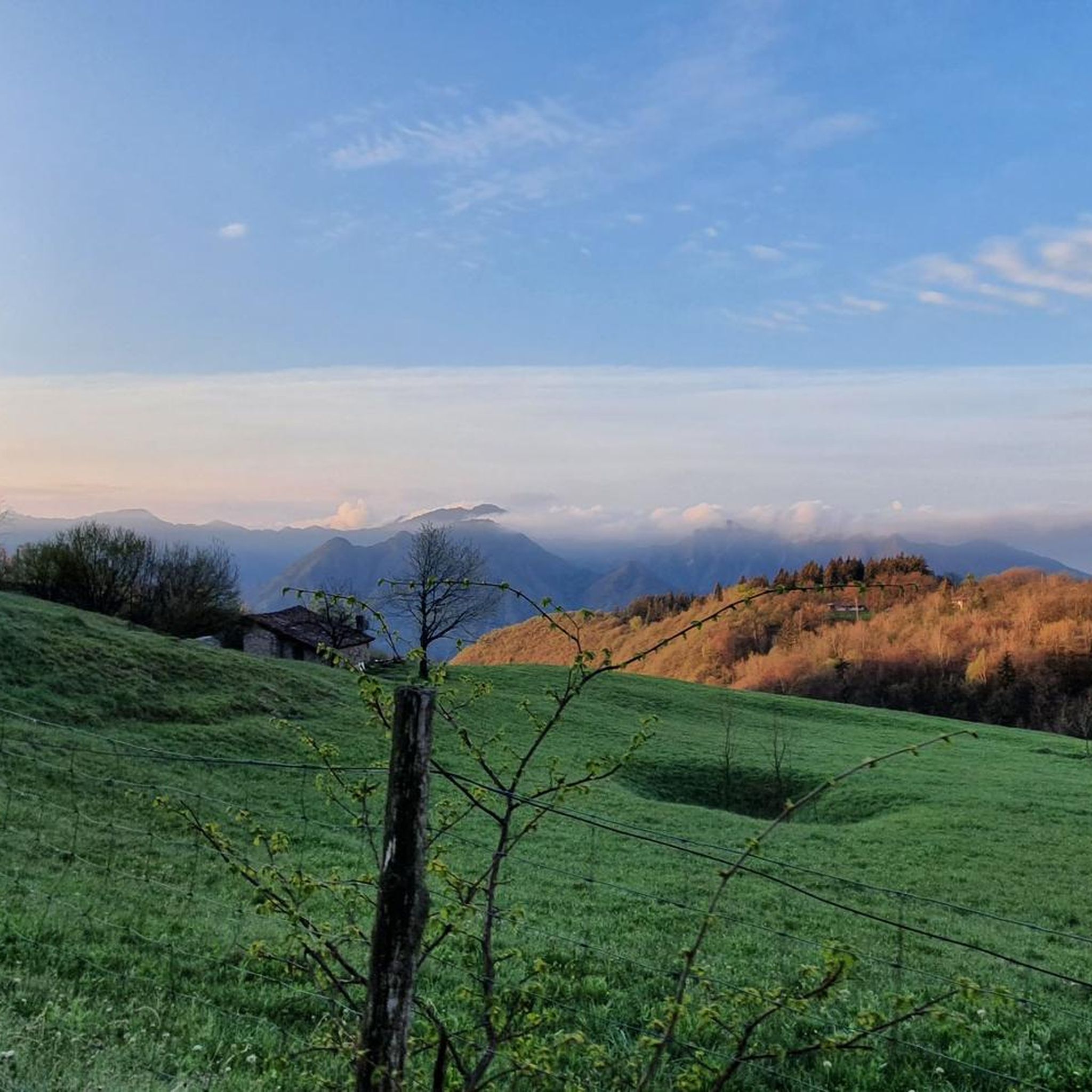
Running Trails around Marcheno
Mountain Hikes around Marcheno

Gravel biking around Marcheno

Tips from the Community

in June the blooming of the laburnums creates a fairytale setting
0
0
In June, the blooming of the laburnums creates a fairytale setting
0
0

Rather unknown pass, although it has already hosted the Giro. The small road has hardly any significant car traffic and is fantastic for cycling.
0
0

📌 Characteristics of Passo Spino (Sebino version) It is a small wooded pass, not marked by structures or refuges. It is located on the road/mule track that connects the two main passes in the area: Croce di Marone Forcella di Sale It is a transit point for MTB riders and hikers who follow the “Malghe in rete” loop. The section between Forcella di Sale and Passo Spino is predominantly downhill, with some short uphill sections. 🥾 Why it is important Passo Spino is useful as a reference point if: you are doing the Croce di Marone → Forcella di Sale → Noase → Sale Marasino loop you are riding the panoramic mountain road that connects the two main passes of Sebino you are climbing or descending by MTB along the “Malghe in rete” route It is not a panoramic viewpoint like Croce di Pezzolo or the Almana ridge: it is more of a technical passage along the ridge. 🗺️ Quick summary Forcella di Sale = pass at 1150 m, start of the Sentiero Benedetti Passo Spino = immediately after, on the road that continues towards Noase Croce di Marone = connected to both via the same mountain road
0
0
La Forcella di Sale is a pass at about 1150 m above Sale Marasino, a junction point between the Iseo Lake slope and Val Trompia, and direct access to the Filippo Benedetti Equipped Path towards Punta Almana. 📍 What it is and where it is located Official sources describe it as a take-off point for paragliding and a key passage for those climbing towards Almana or Guglielmo. Altitude: 1150 m Location: above Portole (Sale Marasino) Function: pass between Lake Iseo and Val Trompia, connected to Croce di Marone by a mountain road It is also the point where the Filippo Benedetti Equipped Path begins, one of the most scenic and technical stretches in the area. 🥾 How to reach it 1) From Sale Marasino (classic itinerary) The route starts from the car park above the village: first km on a steep asphalt road you reach Forcella di Sale after a few hairpin bends here is the gate that leads to the equipped path 2) From Croce di Marone A largely downhill connection, with short climbs, leads to Forcella di Sale passing through Passo Spino . 3) By MTB The road between Croce di Marone and Forcella di Sale is described as pleasant and panoramic, suitable for mountain biking . 🧗 Filippo Benedetti Equipped Path From the Forcella starts the most characteristic section of the hike towards Punta Almana: exposed passages short rocky sections where you need to use your hands it is not a via ferrata, but requires a sure footing and absence of vertigo spectacular panorama of the lake already from the ridge 🚴 For those climbing by bike The ascent from Sale Marasino is considered very hard: 6.7 km 918 m of elevation gain 13.7% average gradient last 2.5 km "almost vertical" according to reviews 🌄 Why it is an important point It is one of the two main passes of the eastern Sebino along with Croce di Marone It allows you to reach Punta Almana (via the ridge or via the equipped path) It is a take-off point for paragliding with a view of Monte Isola
0
0

It's challenging to get there, but the view will repay all the effort, then the paths you'll find here are really amazing, take a trip there
0
0

You get there with effort and sweat but it's worth it, and shortly thereafter you can climb the Guglielmo
0
0

on 28 October 1944 the young partisans Mario Bernardelli and Giuseppe Zatti, aged 20 and 19, were shot by a fascist platoon returning from a roundup
1
0
Frequently Asked Questions
What are some other notable mountain passes to explore near Marcheno?
Beyond the most popular, you can explore San Fermo Pass (La Bratta), known for its wonderful lake views and challenging terrain. Additionally, Passo Lividino, though not listed as a komoot highlight, is a significant pass in the vicinity, offering strategic trail junctions and panoramic views, with connections towards Monte Guglielmo.
What kind of panoramic views can I expect from the mountain passes around Marcheno?
The passes offer diverse and remarkable views. From San Fermo Pass (La Bratta), you can enjoy wonderful lake views. Colle di San Zeno provides extraordinary views of Monte Guglielmo and mountain pastures. Passo Lividino also boasts panoramic views of the surrounding mountains, and from Monte Guglielmo itself, accessible via trails from passes like Lividino, you can get a 360-degree panorama extending from the Po Valley to Lake Iseo and the Orobie Alps on clear days.
Are there historical points of interest on the mountain passes in this region?
Yes, Sella dell'Oca Pass holds historical significance. During the Second World War, this area was crossed by partisans and is included in the popular 'Paths of the Resistance'.
What outdoor activities are popular around the mountain passes near Marcheno?
The region is excellent for various outdoor activities. You can find numerous options for road cycling, running, and general cycling. For road cycling, explore routes like the 'View of Lake Iseo – View of Lake Iseo from Colmi loop' from Gardone Val Trompia. Running enthusiasts can try trails such as the 'Monte Bifo Trail Junction loop' from Marcheno. For general cycling, consider the 'Val Trompia Greenway – Suspension Bridge over the Mella loop'. You can find more details on these activities in the Road Cycling Routes around Marcheno, Running Trails around Marcheno, and Cycling around Marcheno guides.
Are there family-friendly mountain walks or trails near Marcheno's passes?
While specific 'family-friendly' categorizations for passes aren't always explicit, many trails around the passes offer varying difficulty levels. For gentler walks, look for sections of trails that are less steep or shorter. The area around Passo Lividino, for instance, offers trails suitable for various fitness levels, and you can often find easier paths connecting to refuges or scenic viewpoints. Always check the specific trail details for elevation and length to ensure it suits your family's capabilities.
What is the best time of year to visit the mountain passes around Marcheno?
The best time to visit the mountain passes around Marcheno for hiking and cycling is generally from spring to autumn. During these seasons, the weather is milder, and the trails are more accessible. Summer offers warm temperatures, while spring and autumn provide pleasant conditions with vibrant foliage. Winter can bring snow, making some passes suitable for winter sports or requiring specialized gear for hiking.
What are the difficulty levels of the mountain passes and trails in the Marcheno area?
The mountain passes and their connecting trails around Marcheno offer a range of difficulty levels. Passes like San Fermo Pass (La Bratta) are described as challenging, with steep sections. Colle di San Zeno involves a long climb, requiring a fair amount of training for cyclists. However, intermediate trails are also common, such as those found around Passo Croce. It's advisable to check individual route descriptions for specific difficulty ratings.
Is there a water source available on the trails near the mountain passes?
Yes, at Passo Croce, there is an important junction point where you can refill your water supplies. Locals refer to this spot as 'il fontanone' due to the presence of a large drinking trough providing potable water.
Can I access the mountain passes around Marcheno using public transport?
While direct public transport to the highest points of all passes might be limited, Marcheno itself is accessible. From Marcheno, you can often find local bus services that connect to smaller towns or trailheads in Val Trompia. For higher or more remote passes, a combination of public transport and a final hike or cycle might be necessary. Planning ahead and checking local bus schedules is recommended.
What do visitors enjoy most about the mountain passes near Marcheno?
Visitors frequently appreciate the stunning panoramic views, the challenging yet rewarding climbs, and the natural beauty of the area. The sense of being immersed in nature, the opportunities for exciting descents, and the strategic location of passes as trail junctions are also highly valued. The community has contributed 172 upvotes and 37 photos, highlighting the visual appeal and enjoyable experiences.
Are there any specific cycling routes that include these mountain passes?
Yes, many passes are popular with cyclists. For example, the climb to Colle di San Zeno is a well-known route, offering a long ascent through woods and mountains. Passo Lividino also has a cycling route starting from Caregno (La Fabbrica). You can find more cycling routes in the Cycling around Marcheno guide, which includes routes like the 'View of Bagolino – Maniva Pass loop'.
What is the significance of Monte Guglielmo in relation to these mountain passes?
Monte Guglielmo is an iconic mountain often associated with the hiking and cycling experiences connected to passes near Marcheno. Passes like Passo Lividino provide routes towards Monte Guglielmo, which is a major mountain in the Brescia province. It's highly popular for trekking and cycling, offering a 360-degree panorama from its summit, where the Monumento al Redentore stands. Its accessibility and stunning vistas make it a compelling destination for those exploring the mountain passes in the Marcheno region.
Most popular routes around Marcheno
Most popular attractions around Marcheno

Get inspired with the komoot mobile app


Explore more
See even more epic mountain passes by checking out these guides around Marcheno:
