The best walks and hikes around Cigole
3.9
(45)
309
hikers
47
hikes
Hiking around Cigole offers a network of trails primarily traversing flat agricultural lands and rural paths in the Lombardy region. The terrain is characterized by minimal elevation changes, making it suitable for accessible walks. These routes often connect small villages and provide views of the local countryside.
Best hiking trails around Cigole
- The most popular hiking route is Way of St. Julia Trail: Pontevico to Verolanuova, a 9.8 miles (15.8 km) moderate trail that takes 4 hours 1 minute…
Last updated: July 1, 2026
5.0
(1)
14
hikers
4.93km
01:15
10m
10m
Easy hike. Great for any fitness level. Easily-accessible paths. Suitable for all skill levels.
16
hikers
5.78km
01:27
10m
10m
Easy hike. Great for any fitness level. Easily-accessible paths. Suitable for all skill levels.

Sign up for free
5.0
(2)
22
hikers
10.7km
02:44
30m
30m
Moderate hike. Good fitness required. Easily-accessible paths. Suitable for all skill levels.
5.0
(4)
11
hikers
12.1km
03:07
50m
50m
Moderate hike. Good fitness required. Easily-accessible paths. Suitable for all skill levels.
4.3
(4)
12
hikers
6.29km
01:35
10m
10m
Easy hike. Great for any fitness level. Easily-accessible paths. Suitable for all skill levels.
Get access to more routes and recommendations from other explorers.
Sign up for free
Already have an account?
Our route recommendations are based on thousands of hikes, rides, and runs completed by other people on komoot.
Start today with a free account
Your next adventure awaits.
Login or Signup


Tips from the Community

Penultimate stage of the Oglio cycle path
0
0

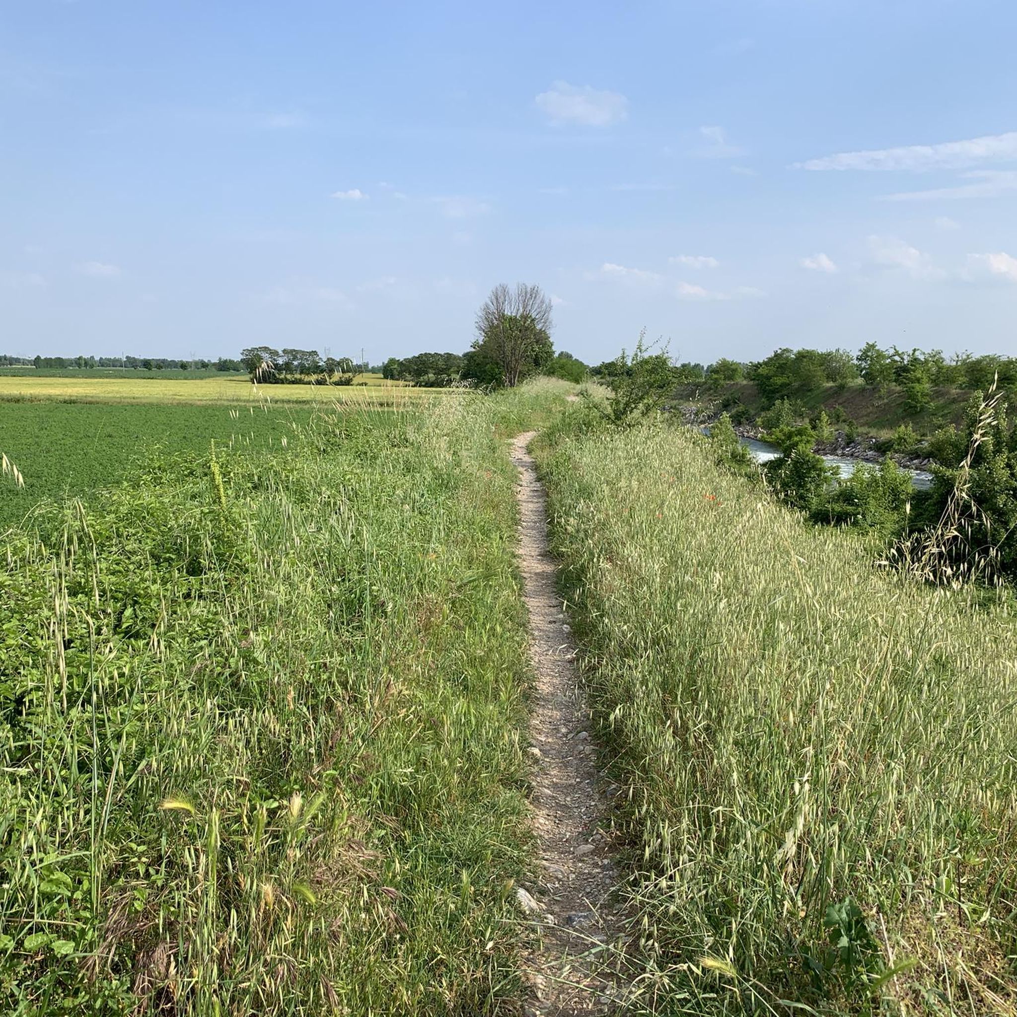
Around Leno, you can walk along these beautiful roads which, on asphalt, lead you into the middle of the fields.
1
0

The Vincellate dam is a hydraulic structure near the Strone River Park that regulates the course of the river itself. From here you can follow the cycle path inside the Park and reconnect with the Oglio valley cycle path, with a network of itineraries that allows you to take turns for all tastes and difficulties.
0
0

Free sparkling - natural - cold water point.
0
0
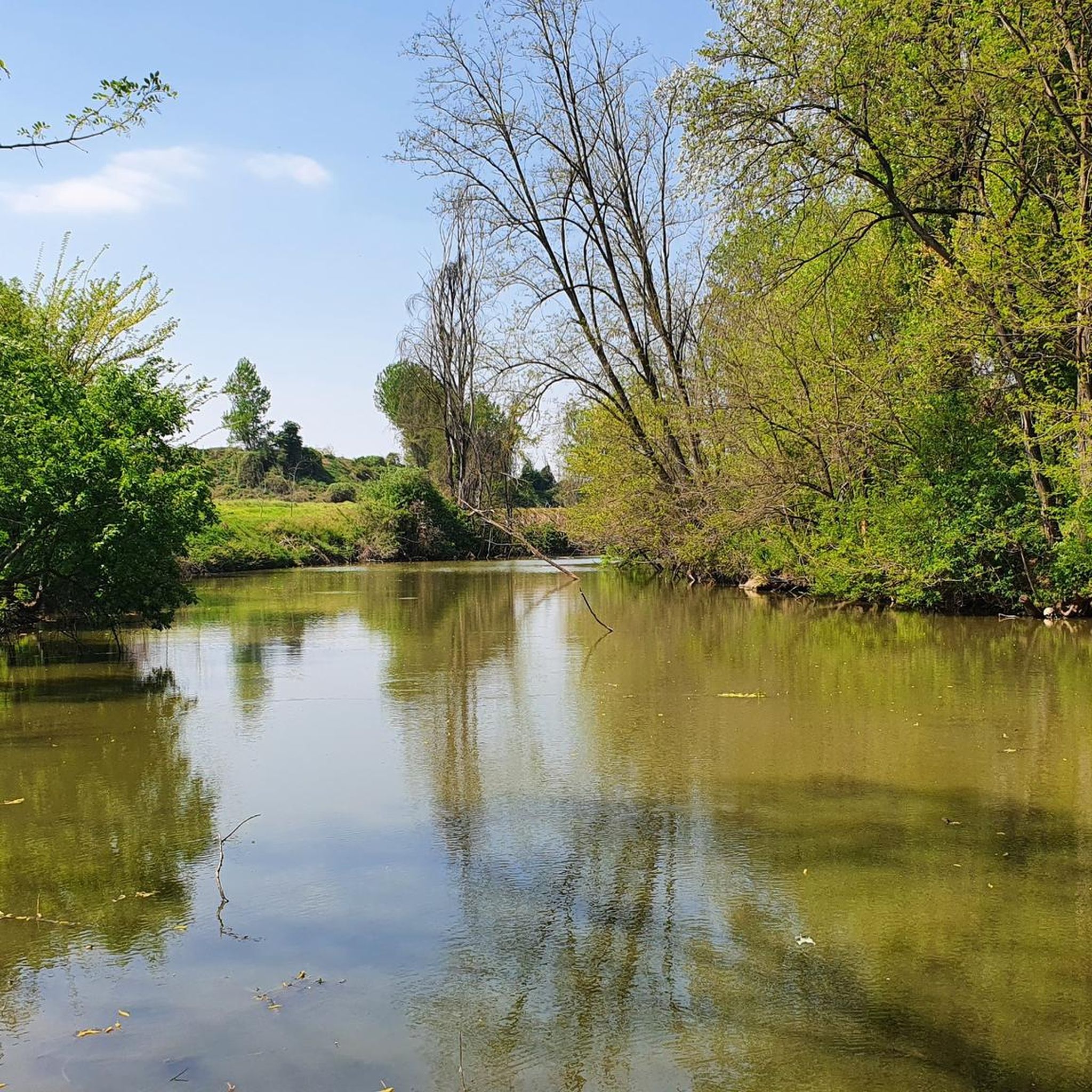
The Strone river is a watercourse of only 18 km that winds between the hamlets of San Paolo, Verolanuova, Verolavecchia and Pontevico. Its park is an oasis of serenity where you can relax and sunbathe on the green meadows surrounded by leafy trees.
2
0

Well kept park. Always crowded with runners and cyclists. In the middle Park volunteers have headquarters for cafes if open. Possible picnic and water supply!
1
0

We enter a short stretch of dirt road that leads us to the beginning of one of the funniest and most fascinating stretches of this cycle path between Cremona and Brescia, the Strone River Park, a path of about 4km that leads us from Pontevico - vineyards on one side and Seriola Comunale di Pontevico on the other - at Le Vincellate Park, where unfortunately we have to leave the magical track and ride on a secondary road.
1
0
Frequently Asked Questions
How many hiking trails are available around Cigole?
There are over 25 hiking trails around Cigole, offering a variety of options for exploring the flat agricultural lands and rural paths of the Lombardy region.
Are there easy hiking trails suitable for beginners in Cigole?
Yes, approximately half of the trails around Cigole are classified as easy, making them ideal for beginners or those looking for a relaxed walk. These routes feature minimal elevation changes and generally follow well-defined paths.
Are the hiking trails around Cigole suitable for families with children?
Absolutely. The predominantly flat terrain and rural paths make many of the trails around Cigole very suitable for families with children. Routes like the Ancient Brick Well loop from Offlaga offer gentle walks through the countryside.
Can I bring my dog on the hiking trails near Cigole?
Yes, most rural paths and agricultural tracks around Cigole are dog-friendly. It's always recommended to keep your dog on a leash, especially when passing through cultivated fields or near livestock, and to carry water for them.
Are there circular hiking routes available in Cigole?
Many of the routes around Cigole are designed as circular loops, allowing you to start and end at the same point. Examples include the Hiking loop from Bettegno and the Hiking loop from Verolanuova, which explore the local countryside.
What is the typical length and duration of hikes in Cigole?
Hikes in Cigole typically range from 6 to 16 kilometers (approximately 4 to 10 miles) in length, with durations from 2 to 4 hours. The Way of St. Julia Trail: Pontevico to Verolanuova is one of the longer options at nearly 16 km.
What interesting places can I explore near the hiking trails in Cigole?
While hiking, you can discover several historical and natural attractions. Nearby castles include Gazzo Castle and Ostiano Castle. You might also encounter charming churches like the Church of Saints Joseph and Blaise, or natural areas like Bosco del Lusignolo.
What kind of scenery can I expect on hikes around Cigole?
Hikes around Cigole primarily offer views of the flat agricultural landscape of Lombardy, characterized by cultivated fields, quiet rural roads, and small villages. You'll experience a peaceful countryside setting, often with glimpses of the Oglio River or local waterways.
When is the best time of year to go hiking in Cigole?
Spring and autumn are generally the best times for hiking in Cigole, offering pleasant temperatures and vibrant scenery. Summer can be warm, but the flat terrain makes it manageable, while winter walks are possible, though some paths might be muddy after rain.
Is parking readily available at the trailheads in Cigole?
Given the rural nature of the area, parking is generally available in or near the small villages that serve as starting points for many trails. Look for designated parking areas in towns like Verolanuova, Bettegno, or Offlaga.
What do other hikers say about the trails in Cigole?
The trails around Cigole are highly rated by the komoot community, with an average score of 4.1 stars from over 20 reviews. Hikers often praise the peaceful atmosphere, the ease of navigation on the flat paths, and the opportunity to explore the authentic Lombard countryside.
Are there any trails that pass by historical sites or landmarks?
Yes, several trails offer glimpses of local history. For instance, the Way of St. Julia Trail follows a historical path between towns. You can also find routes that pass near ancient castles or charming village churches, such as the Chiesa di Comella.
Most popular attractions around Cigole

Get inspired with the komoot mobile app


Explore more
Browse the best Hikes in other regions.
