The best walks and hikes around Campomaggiore
4.3
(241)
979
hikers
45
hikes
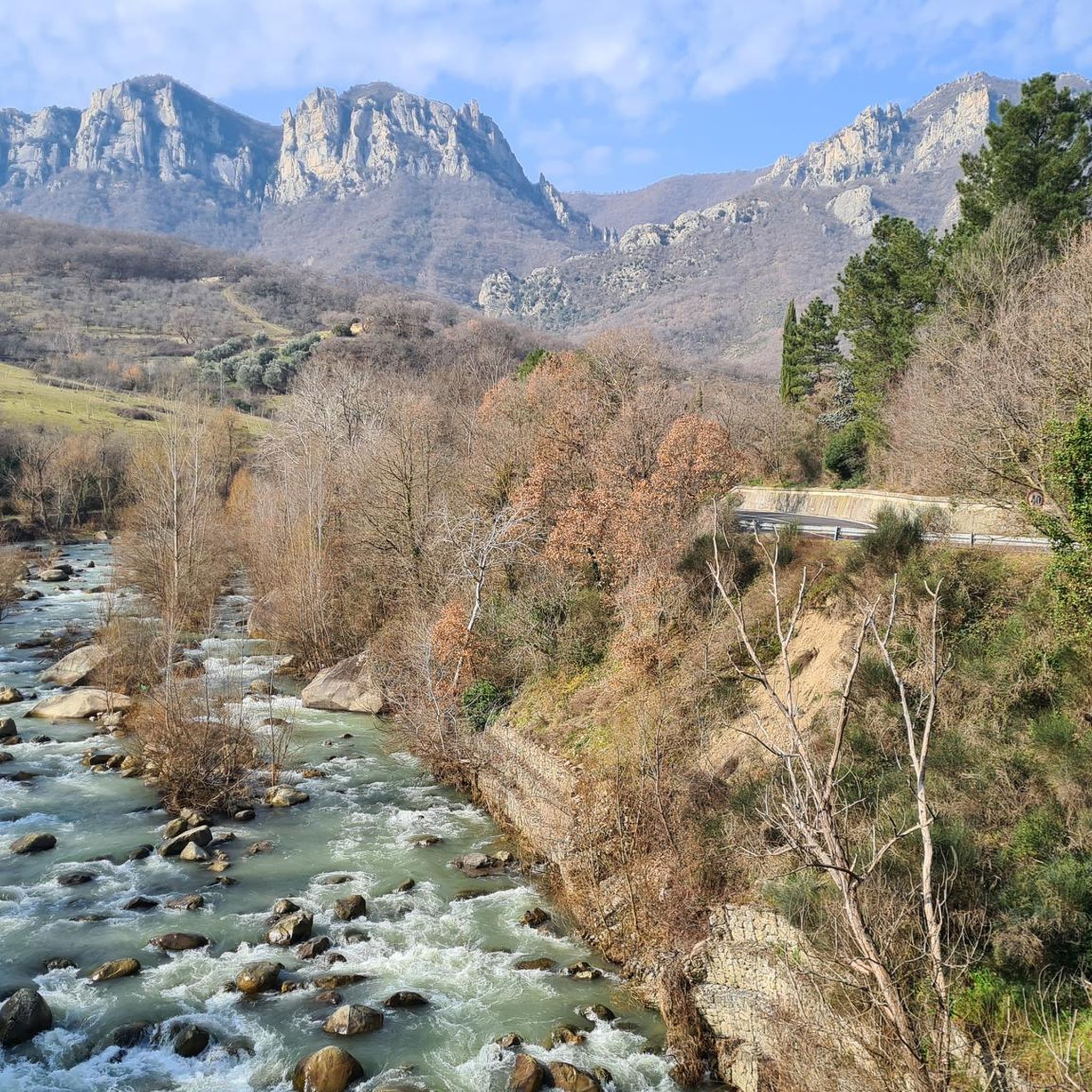
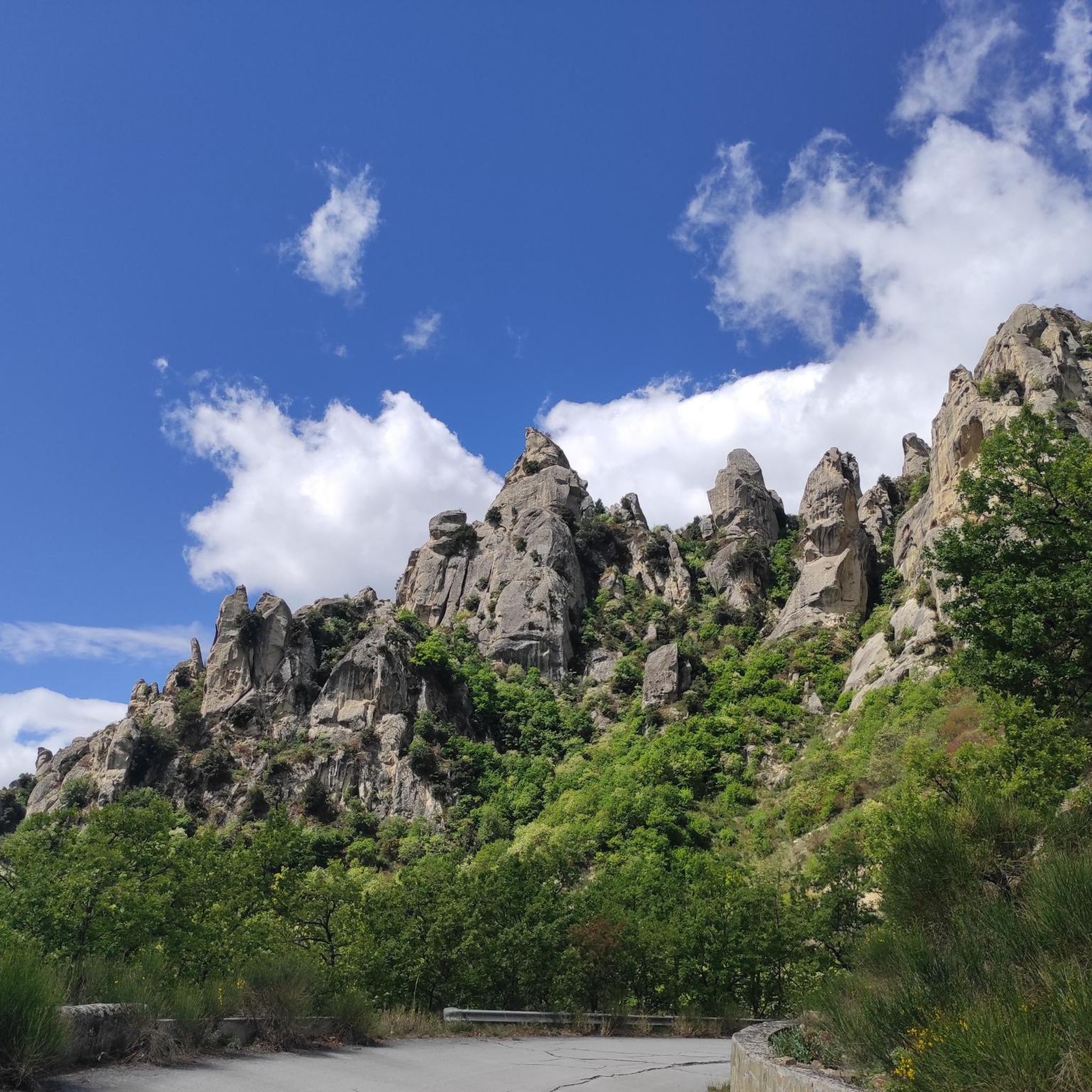
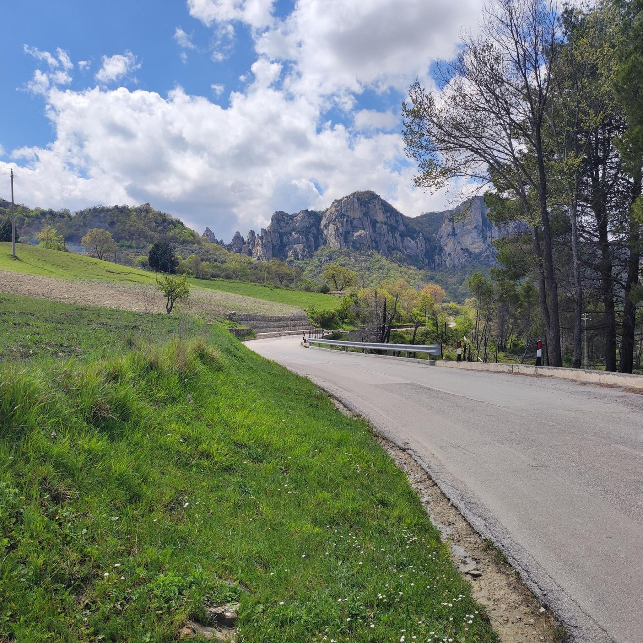
Hiking around Campomaggiore offers access to the dramatic landscapes of the Basilicata region in Italy. The area is characterized by the imposing rock formations of the Lucanian Dolomites, which provide a rugged backdrop for trails and panoramic views. Much of the hiking activity is centered within the Gallipoli Cognato Piccole Dolomiti Lucane Regional Park. The terrain includes varied paths, from accessible routes to more challenging ascents, allowing exploration of the Italian countryside.
Best hiking trails around Campomaggiore
- The most popular…
Last updated: July 2, 2026
4.7
(3)
11
hikers
This difficult hike, a loop through the Gallipoli Cognato Piccole Dolomiti Lucane Regional Park, offers a challenging and scenic experience. You will traverse dramatic, craggy sandstone peaks and spires, often…
4.3
(3)
16
hikers
Moderate hike. Good fitness required. Easily-accessible paths. Suitable for all skill levels.

Sign up for free
4.7
(68)
332
hikers
8.29km
02:58
490m
490m
Moderate hike. Good fitness required. Easily-accessible paths. Suitable for all skill levels.
4.8
(52)
250
hikers
8.96km
03:14
530m
530m
Moderate hike. Good fitness required. Easily-accessible paths. Suitable for all skill levels.
3.8
(18)
40
hikers
7.08km
02:27
370m
370m
Moderate hike. Good fitness required. Easily-accessible paths. Suitable for all skill levels.
Get access to more routes and recommendations from other explorers.
Sign up for free
Already have an account?
Our route recommendations are based on thousands of hikes, rides, and runs completed by other people on komoot.
Start today with a free account
Your next adventure awaits.
Login or Signup
Popular around Campomaggiore
Tips from the Community


After the narrow alleys and steps through the old town, the climb to the rocks is worthwhile. Even in rainy weather, the rocks are easily accessible via iron stairs. In heavy rain, every small alley becomes a rushing stream.
3
0

From up here you have a wonderful view
0
0

In the locality of Pian del Giglio there is a small oasis dedicated to the fallow deer established in order to reintroduce this animal within the nature reserve.
0
0

In the upper part of this beautiful village, a beautiful panoramic corner of the spiers of the Lucanian Dolomites.
0
0

The Nepalese bridge connects the two starting points of the Salemm and Marcirosa via ferrata, allowing you to reach Antro delle Streghe or the plateau. The bridge is 72 meters long, the maximum height from the ground is from 35 to 650 meters above sea level.
2
1
Steep stairs, narrow streets, some chapels and churches are waiting to be explored. There are beautiful views from the Piazza Emilio Caizzo of the village and the surrounding countryside.
2
0

A beautiful rope bridge in a postcard setting, definitely a wonderful experience.
1
0
Frequently Asked Questions
How many hiking trails are available around Campomaggiore?
There are over 30 hiking trails around Campomaggiore, offering a wide range of experiences. These include 12 easy routes, 15 moderate treks, and 5 more challenging hikes, ensuring options for all fitness levels.
Are there easy hiking trails suitable for beginners or families in Campomaggiore?
Yes, Campomaggiore offers several easy routes perfect for beginners or families. These trails typically involve shorter distances and less elevation gain, allowing everyone to enjoy the beautiful landscapes of the Basilicata region. Look for routes marked as 'easy' to find suitable options.
What kind of terrain can I expect on hikes in the Campomaggiore area?
The terrain around Campomaggiore is diverse, characterized by the dramatic rock formations of the Lucanian Dolomites. You'll find paths ranging from gentle, accessible routes through woodlands to more challenging ascents with significant elevation changes. Many trails are within the Gallipoli Cognato Piccole Dolomiti Lucane Regional Park, offering a mix of rugged and picturesque environments.
Are there any circular hiking routes near Campomaggiore?
Yes, there are several excellent circular hiking routes. A popular option is the From Castelmezzano to Pietrapertosa - loop in the Gallipoli Cognato Piccole Dolomiti Lucane Regional Park, which connects two picturesque villages. Another is the Castelmezzano Village – View of Castelmezzano loop from Pietrapertosa, offering stunning views of the Lucanian Dolomites.
What are some interesting places to explore or landmarks to see while hiking near Campomaggiore?
Beyond the trails, you can explore the picturesque village of Pietrapertosa, known as one of Italy's most beautiful. The ruins of Campomaggiore Vecchio, an abandoned 'utopian city,' offer a unique historical experience. You might also encounter natural features like the Petre de la Mola and various viewpoints within the regional park, such as the Viewpoint of Tomba 1.
What is the best time of year to go hiking in Campomaggiore?
The best time for hiking in Campomaggiore is generally during the spring and autumn months when the weather is mild and the landscapes are vibrant. Summer can also be pleasant, especially in the mornings or late afternoons, though some trails might be exposed to the sun. Winter hiking is possible but requires appropriate gear and awareness of conditions, particularly in higher elevations of the Lucanian Dolomites.
Are there any dog-friendly trails in Campomaggiore?
Many trails in the Campomaggiore area, especially those within the Gallipoli Cognato Piccole Dolomiti Lucane Regional Park, are generally dog-friendly. However, it's always recommended to keep your dog on a leash, especially in protected areas or near wildlife, and to check specific trail regulations before you go.
Where can I find parking for hiking trailheads around Campomaggiore?
Parking is typically available near the main trailheads and villages that serve as starting points for hikes, such as Campomaggiore itself, Castelmezzano, and Pietrapertosa. Specific parking information can often be found on komoot tour pages or local tourism websites for the Gallipoli Cognato Piccole Dolomiti Lucane Regional Park.
Are permits required to hike in the Gallipoli Cognato Piccole Dolomiti Lucane Regional Park?
Generally, permits are not required for day hiking on established trails within the Gallipoli Cognato Piccole Dolomiti Lucane Regional Park. However, it's always a good idea to check the official park website for any specific regulations or temporary restrictions, especially for certain activities or protected zones.
What do other hikers enjoy most about hiking in Campomaggiore?
The hiking experience in Campomaggiore is highly rated by the komoot community, with an average score of 4.5 stars. Reviewers often praise the dramatic rock formations of the Lucanian Dolomites, the stunning panoramic views, and the unique blend of natural beauty with historical sites like Campomaggiore Vecchio. The variety of trails catering to different abilities is also frequently highlighted.
Are there places to eat or drink near the hiking trails in Campomaggiore?
Yes, you'll find options for food and drink in the nearby villages. Castelmezzano and Pietrapertosa, both popular starting points or destinations for hikes, offer restaurants and cafes where you can refuel after your adventure. Campomaggiore itself also has local establishments.
How long do hikes typically take around Campomaggiore?
Hike durations vary significantly depending on the trail's length and difficulty. Easy walks can be as short as 1-2 hours, while moderate treks might take 3-5 hours. More difficult routes, such as the loop from Castelmezzano to Pietrapertosa, can take around 2 hours and 49 minutes, while longer moderate routes like Pietra della Mola can take over 3 hours.
Most popular routes around Campomaggiore
Most popular attractions around Campomaggiore

Get inspired with the komoot mobile app


Explore more
Browse the best Hikes in other regions.
