The best MTB trails around San Giorgio Su Legnano
4.3
(1189)
4,942
riders
268
rides
Mountain bike trails around San Giorgio Su Legnano are situated on the northern edge of the Po Valley, characterized by a moorish plateau near the Olona river. The local terrain primarily consists of pebbles, gravel, sand, and clay, with elevations ranging between 189 and 201 meters above sea level. This landscape offers opportunities for cycling along canal paths and through the river valley. The region's gentle elevations provide accessible routes for various skill levels.
Best mountain bike trails around San…
Last updated: July 10, 2026
4.4
(43)
186
riders
57.8km
03:28
180m
180m
Moderate mountain bike ride. Good fitness required. Suitable for all skill levels.
4.3
(19)
117
riders
72.2km
03:54
120m
120m
Moderate mountain bike ride. Good fitness required. Suitable for all skill levels.

Sign up for free
4.1
(17)
79
riders
57.1km
03:36
140m
140m
Moderate mountain bike ride. Good fitness required. Suitable for all skill levels.
3.2
(9)
24
riders
25.2km
01:28
40m
40m
Easy mountain bike ride. Great for any fitness level. Suitable for all skill levels.
3.0
(5)
15
riders
32.3km
02:04
90m
90m
Moderate mountain bike ride. Good fitness required. Suitable for all skill levels.
Get access to more routes and recommendations from other explorers.
Sign up for free
Already have an account?
Our route recommendations are based on thousands of hikes, rides, and runs completed by other people on komoot.
Start today with a free account
Your next adventure awaits.
Login or Signup
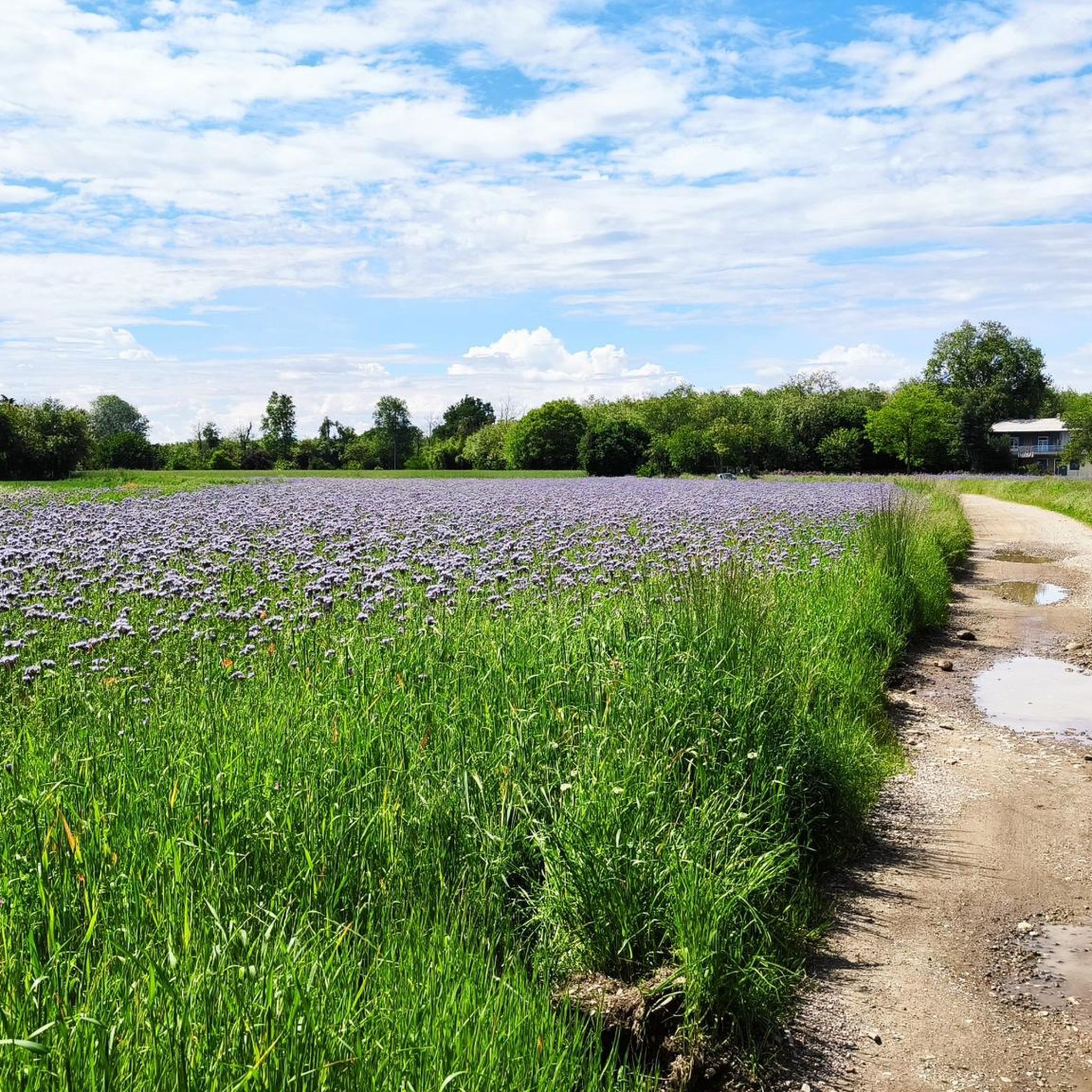
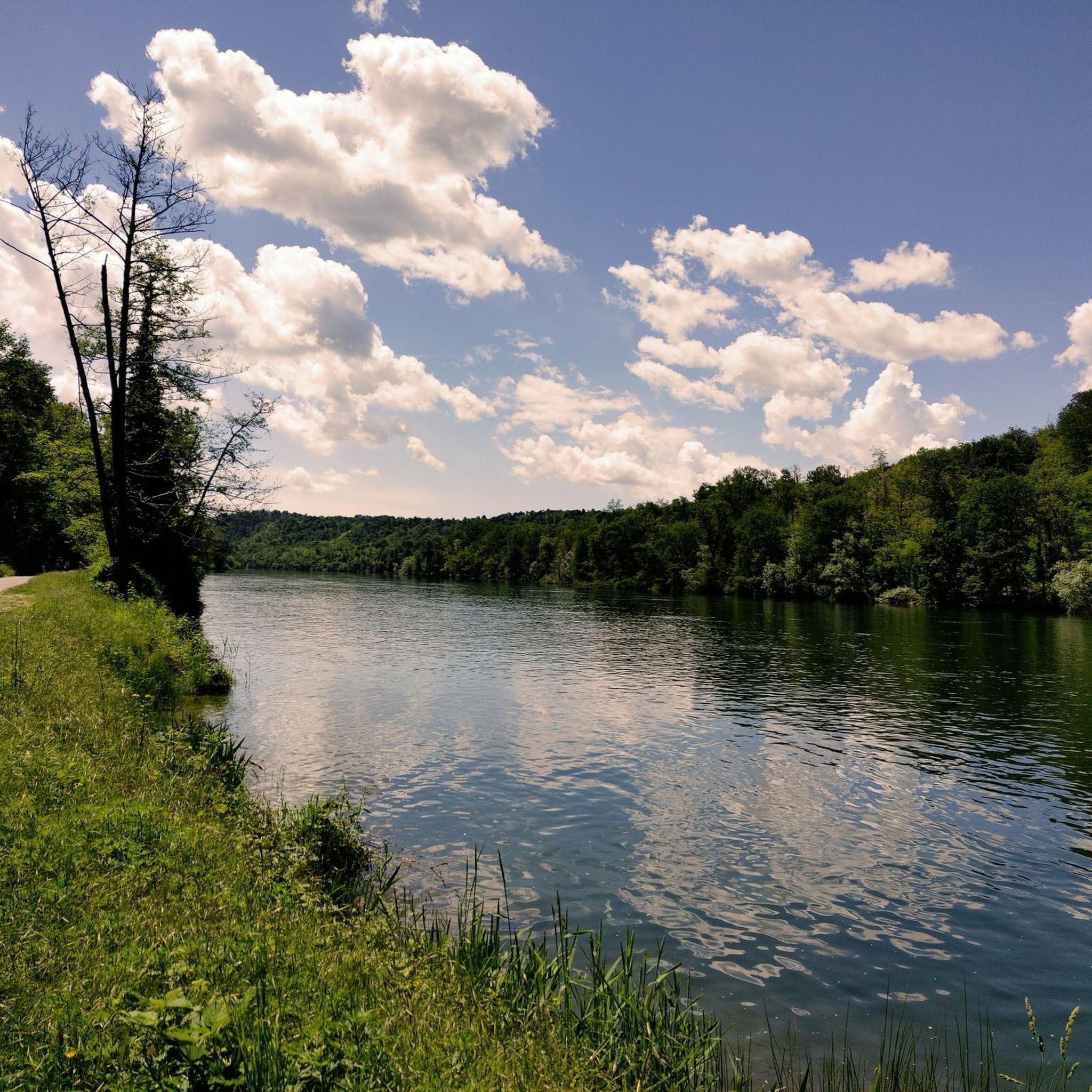

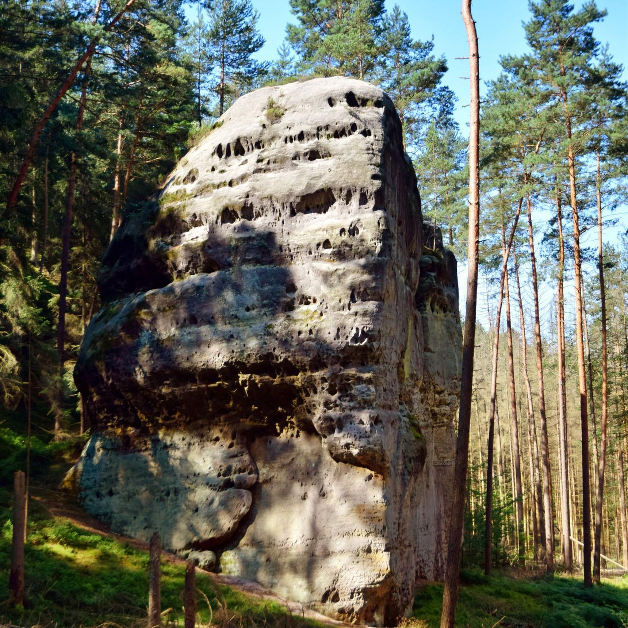
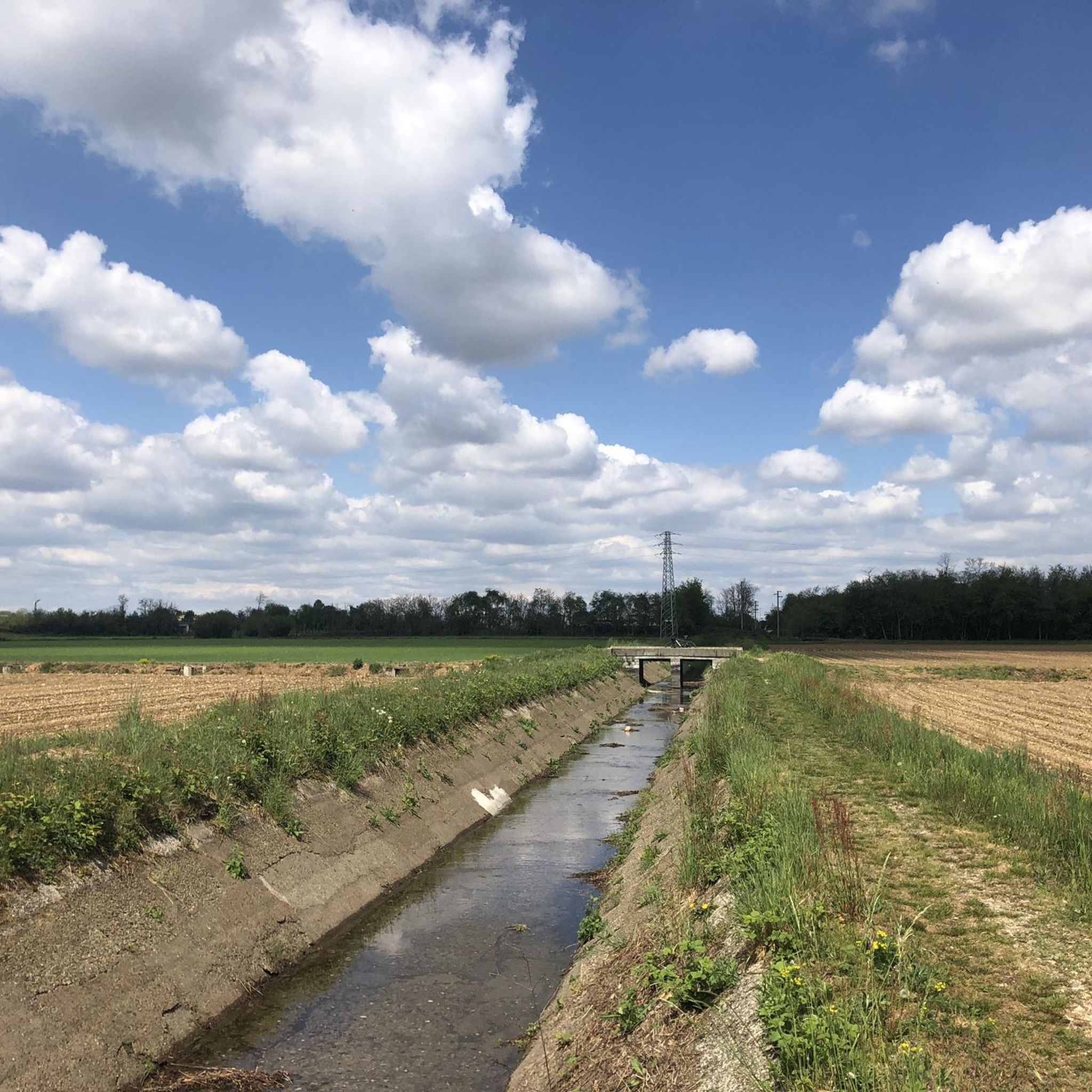
Tips from the Community

The Villoresi canal draws water from the Ticino river, in the locality of Panperduto, in the municipality of Somma Lombardo. After traveling 86 kilometers, in the provinces of Milan and Monza Brianza, it flows into the Adda river in the municipality of Cassano d’Adda. Construction work began in 1881 and was completed in 1891 to a design by Eugenio Villoresi. Originally intended exclusively for irrigation purposes, following the crisis of crops connected with silk production, the canal now allows water distribution in a plain area of approximately 85,000 hectares, through a network that totals about 3,000 kilometers. The paths, free of difficulties, accessible to everyone and certainly of interest, are part of the investments made to enhance the towpaths of the waterways, and should also be considered a fast connection route between the various Municipalities bordering the canal.
0
0

The intersection between the Olona river and the Villoresi Canal occurs in the Alto Milanese area, specifically between the municipalities of Parabiago, Nerviano, and San Vittore Olona. This area is characterized by the intersection of local cycle paths (such as the Olona Greenway) and the long irrigation canal, offering naturalistic and historical routes.
0
0
The Villoresi Canal cycle path traverses the Lombardy countryside, following the entire length of the Villoresi Canal, the historic waterway built for irrigation in the late 19th century by engineer Eugenio Villoresi. The canal draws water from the Ticino River near Somma Lombardo and, after an 86 km journey, returns it to the Adda River near Groppello.
0
0
It's an easy, flat cycling route, accessible to all types of bicycles and suitable for families with children. An ideal place for a day trip, it allows you to explore the area's rich natural and scenic beauty, cycling through cultivated fields, parks, and woods. There are several detours to explore the architectural beauty of the many municipalities along the canal, or to continue along the other cycle paths the canal crosses.
0
0
Just be careful about the distances: the Canale Villoresi cycle path, which runs alongside the canal, is 85 kilometers long. It begins near the town of Somma Lombardo and ends near Cassano d'Adda, so unless you're very fit, we recommend doing it in stages! Along the way, the path has short sections where it merges with city streets.
0
0
Just be careful about the distances: the Canale Villoresi cycle path, which runs alongside the canal, is 85 kilometers long. It begins near the town of Somma Lombardo and ends near Cassano d'Adda, so unless you're very fit, we recommend doing it in stages! Along the way, the path has short sections where it merges with city streets.
0
0
It's an easy, flat cycling route, accessible to all types of bicycles and suitable for families with children. It's an ideal place for a day trip, allowing you to explore the area's rich natural and scenic beauty, cycling through cultivated fields, parks, and woods. There are several detours to explore the architectural beauty of the many towns along the canal, or to continue along the other cycle paths the canal crosses.
0
0
The Villoresi Canal cycle path traverses the Lombardy countryside, following the entire length of the Villoresi Canal, the historic waterway built for irrigation in the late 19th century by engineer Eugenio Villoresi. The canal draws water from the Ticino River near Somma Lombardo and, after an 86 km journey, returns it to the Adda River near Groppello.
1
0
Frequently Asked Questions
How many mountain bike trails are available around San Giorgio Su Legnano?
There are over 260 mountain bike trails available around San Giorgio Su Legnano. These routes cater to various skill levels, with a good selection of easy and moderate options.
What is the typical terrain like for mountain biking in San Giorgio Su Legnano?
The terrain around San Giorgio Su Legnano is characterized by a moorish plateau near the Olona river, at the northern edge of the Po Valley. You'll find paths primarily composed of pebbles, gravel, sand, and clay. The elevations are generally gentle, ranging between 189 and 201 meters above sea level, making for accessible cycling along canal paths and through the river valley.
Are there easy or beginner-friendly mountain bike trails in the area?
Yes, San Giorgio Su Legnano offers a good selection of routes suitable for beginners. Out of the over 260 trails, 84 are classified as easy, and 143 as moderate. The region's gentle elevations and canal paths provide accessible and enjoyable rides for those new to mountain biking or seeking a relaxed experience.
Can families enjoy mountain biking around San Giorgio Su Legnano?
Absolutely. The gentle elevations and numerous easy and moderate routes, particularly those along the Villoresi Canal, make the area very suitable for family cycling. These paths often provide a consistent and scenic journey away from heavy traffic.
Are there any circular mountain bike routes?
Yes, many of the mountain bike trails around San Giorgio Su Legnano are designed as loops. For example, you can explore the Towpath of the Villoresi Canal – Villoresi Canal Cycle Path loop from Canegrate or the Villoresi Cycle Path🚲 – Villoresi Cycle Path🚲 loop from Canegrate, both offering scenic circular journeys along the canal.
What kind of natural features or landmarks can I expect to see along the trails?
While mountain biking, you can encounter various natural features and points of interest. The area is known for its canal paths and the Olona river valley. Nearby attractions include natural monuments like the Four Mouths river junction, the Herons Park Pond, and the WWF Oasis of Vanzago forest.
Is it possible to access the trails using public transport?
While specific public transport connections directly to trailheads might vary, San Giorgio su Legnano is part of the Metropolitan City of Milan, which generally has good public transport infrastructure. It's advisable to check local bus or train schedules to nearby towns like Legnano or Canegrate, which often serve as starting points for many routes, including those along the Villoresi Canal.
Where can I find parking for mountain biking in San Giorgio Su Legnano?
Many of the popular routes, especially those starting from towns like Canegrate, offer designated parking areas. For instance, routes like the Canale Villoresi – Path Along the Naviglio Grande loop from Canegrate typically have parking available near their starting points in the respective towns. It's recommended to check the specific route details on komoot for parking suggestions.
What is the best time of year to go mountain biking in San Giorgio Su Legnano?
The climate in San Giorgio Su Legnano is continental. Spring and autumn generally offer the most pleasant conditions for mountain biking, with milder temperatures. Summers can be hot and humid, often exceeding 30°C, while winters are cold, potentially snowy and foggy. Always check the weather forecast before heading out.
Are dogs allowed on the mountain bike trails?
Rules regarding dogs on trails can vary. While many natural areas in Italy are dog-friendly, it's always best to keep dogs on a leash, especially in nature reserves or near canals, to protect wildlife and ensure the safety of other trail users. Always check local signage for specific regulations.
Are there any specific permits required for mountain biking in the Milan area?
Generally, no specific permits are required for mountain biking on public trails in the San Giorgio su Legnano area. However, if you plan to visit specific protected areas or private lands, it's always wise to check for any local regulations or access requirements beforehand.
What do other mountain bikers say about the trails in San Giorgio Su Legnano?
The mountain bike trails around San Giorgio Su Legnano are highly rated by the komoot community, with an average score of 4.4 stars from over 1000 reviews. More than 5000 mountain bikers have explored the varied terrain, often praising the accessible canal paths and the pleasant, flat moorish plateau for enjoyable rides.
Are there any challenging trails for experienced mountain bikers?
While the region is known for its gentle elevations, there are some more challenging options available. For instance, the Palazzo Archinto – Bereguardo Pontoon Bridge loop from Canegrate is classified as difficult, offering a longer ride with more elevation gain compared to the typical canal routes. Out of the total routes, 36 are rated as difficult.
How long are the mountain bike trails typically?
The length of mountain bike trails in San Giorgio Su Legnano varies significantly. Many popular routes, especially those along the Villoresi Canal, range from 35 to 45 miles (57 to 72 km), such as the Alzaia Canale Villoresi – Villoresi Cycle Path🚲 loop from Canegrate. There are also shorter options available for quicker rides.
Most popular routes around San Giorgio Su Legnano
Most popular attractions around San Giorgio Su Legnano

Get inspired with the komoot mobile app


Explore more
Browse the best MTB trails in other regions.
