The best road cycling routes around Gallicano
4.4
(161)
4,560
riders
79
rides
Road cycling routes around Gallicano traverse a diverse landscape of mountainous terrain and green, wooded valleys, situated at the foot of Monte Pania within Tuscany's Garfagnana region. The area is characterized by the Apuan Alps, offering varied topography with challenging ascents and descents. Cyclists can also find routes near the Serchio River, providing a different scenic environment. This region provides a mix of paved roads and varied elevation for road cyclists.
Best road cycling routes around Gallicano
- The most popular…
Last updated: July 13, 2026
5.0
(2)
103
riders
63.4km
03:46
1,590m
1,590m
Hard road ride. Very good fitness required. Mostly well-paved surfaces and easy to ride.
4.8
(4)
110
riders
32.8km
02:03
740m
740m
Moderate road ride. Good fitness required. Mostly well-paved surfaces and easy to ride.

Sign up for free
3.0
(6)
70
riders
58.6km
03:01
1,020m
1,020m
Hard road ride. Very good fitness required. Mostly well-paved surfaces and easy to ride.
5.0
(1)
38
riders
88.2km
04:44
1,720m
1,720m
Hard road ride. Very good fitness required. Mostly well-paved surfaces and easy to ride.
4.5
(4)
39
riders
Moderate road ride. Good fitness required. Mostly well-paved surfaces and easy to ride.
Get access to more routes and recommendations from other explorers.
Sign up for free
Already have an account?
Our route recommendations are based on thousands of hikes, rides, and runs completed by other people on komoot.
Start today with a free account
Your next adventure awaits.
Login or Signup


Tips from the Community

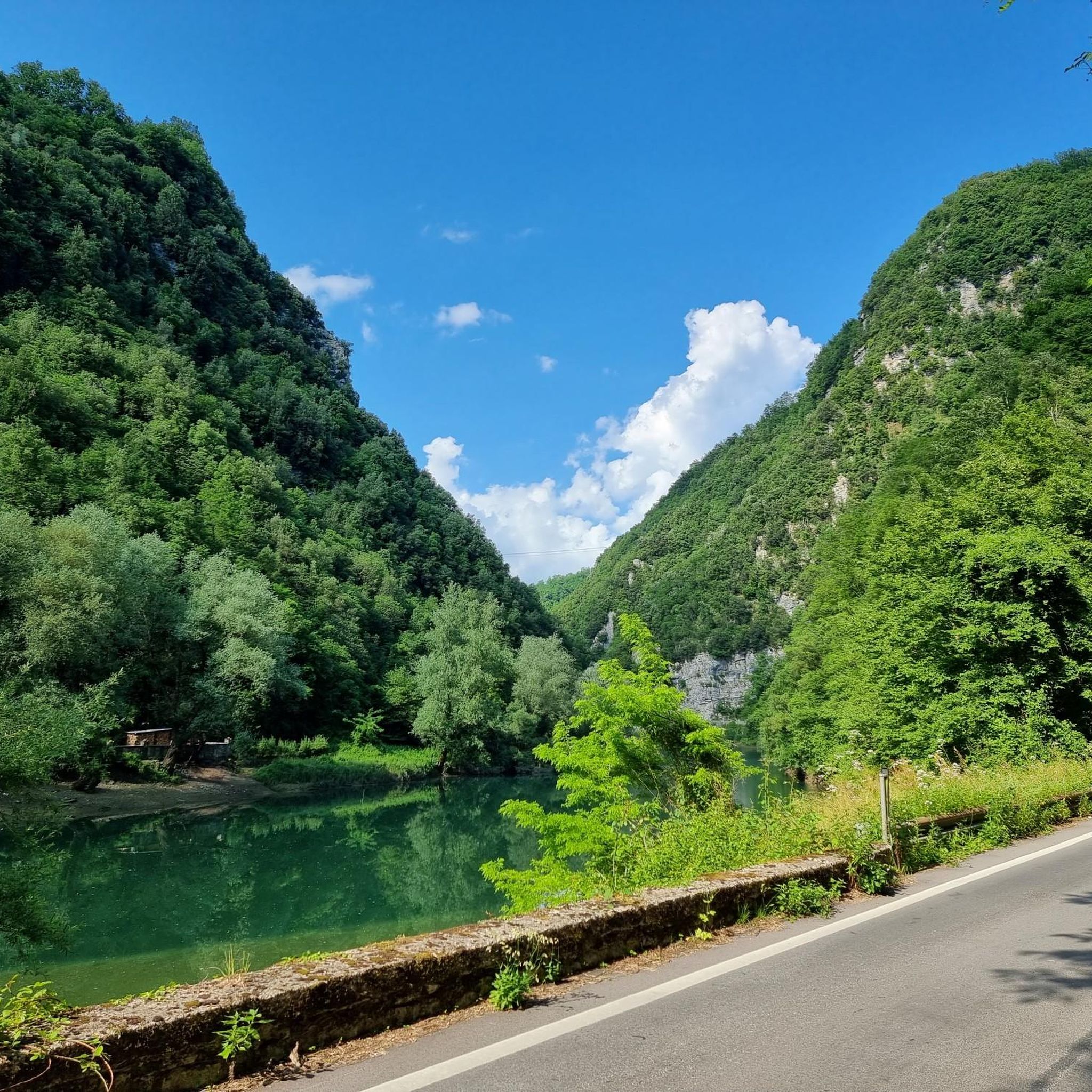
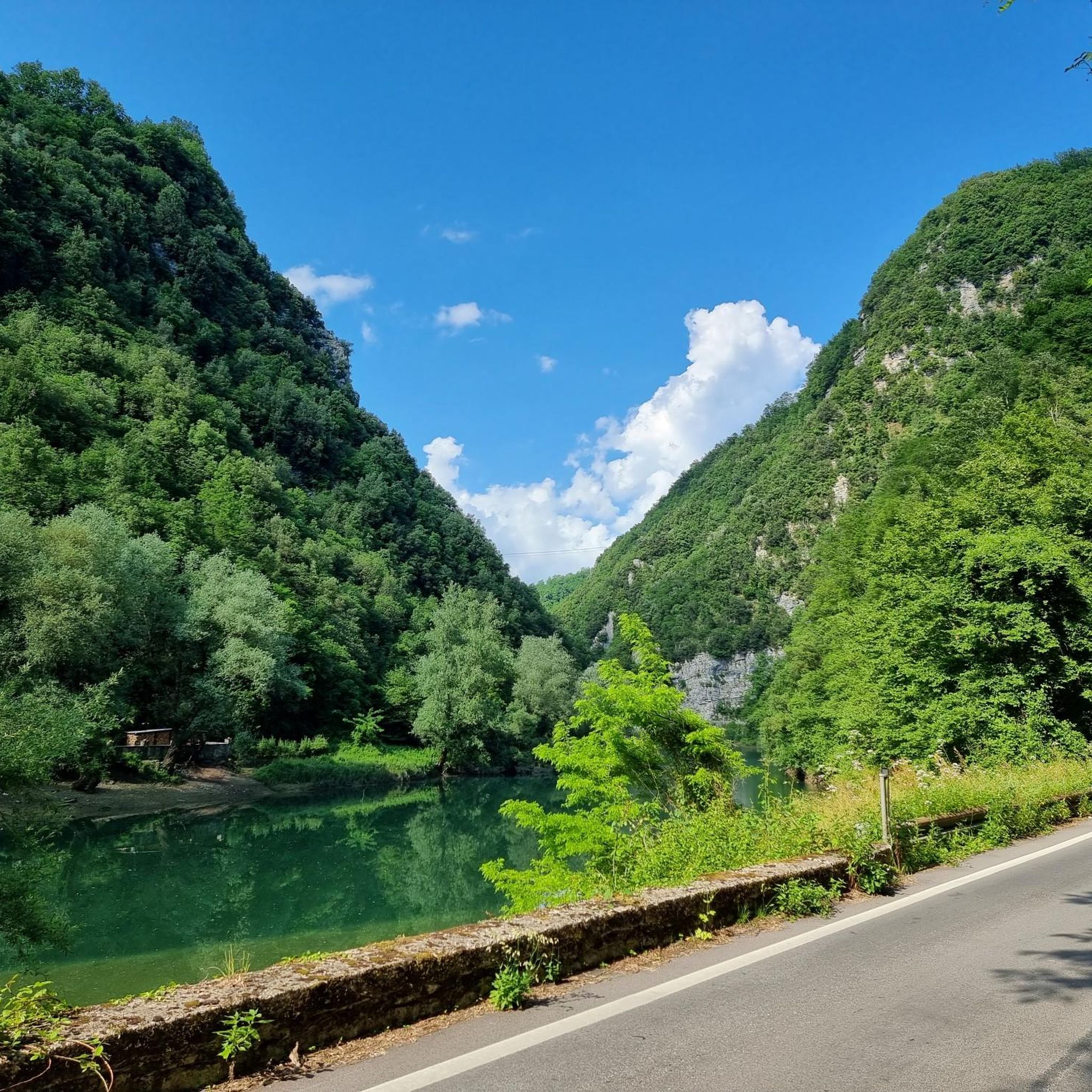
The lake of Gramolazzo is a lake in the Apuan Alps located near the homonymous village in the municipality of Minucciano. Of artificial origin, it was created in the second half of the 1900s, together with the lake of Vagli by SELT Valdarno for the hydroelectric use of the Serchio river and its tributaries. The lake, which has a surface area of one square kilometer and a volume of 3.8 million cubic meters, has both the Serchio di Gramolazzo as its inflow and outflow, one of the two branches that, joining near Piazza al Serchio, form the Tuscan river. Another important stream that flows into the lake is the Acqua Bianca stream, which coming from Mount Pisanino crosses the village of Gorfigliano. A large part of the water, however, is fed through a channel on the left bank, near the dam, which with a maximum flow rate of 20 cubic meters per second discharges the waters captured from the Serchio into the Sillano valley. The waters of the lake of Gramolazzo feed the Fabbriche power plant which in turn discharges them into the lake of Vagli.
0
0

A must-see with sweeping views of the surrounding mountains, all immersed in lush greenery.
0
0
The place is cool and quiet during the week. Canoe rentals are available for lake excursions.
0
0

EPIC place! Very particular water color, no one bathes in it but it is truly suggestive!
0
0

A very beautiful bridge over the Lima River in Fornoli. For pedestrians and cyclists only. The best way to cross the river to the quieter side.
0
0

An exciting bridge made of wood and steel with two beautiful portals.
1
0

A bridge for pedestrians and cyclists, of a special kind!👍
1
0

The Lima, or rather “La Lima”, as the valley dwellers affectionately call their river, originates in the Sestaione valley. The Lima is fed by a complex network of tributary streams in the highlands, which bring snow, spring and rain water. In its course towards the sea, just after crossing the town of Bagni di Lucca Terme, the watercourse up to that point, of a torrential type, also given the conditions of the terrain, calms down and widens flowing into the Serchio, another river that originates in the Apennines, crosses and characterizes the life and environment of the nearby Garfagnana, a small and green historical-geographical region and a large part of the entire province of Lucca.
12
0
Frequently Asked Questions
How many road cycling routes are available around Gallicano?
There are nearly 80 road cycling routes around Gallicano, offering a diverse range of experiences for cyclists. These routes are highly rated by the komoot community, with an average score of 4.2 stars from over 140 reviews.
What types of road cycling routes can I find in the Gallicano area?
The region offers a variety of road cycling routes suitable for different fitness levels. You'll find 4 easy routes, 38 moderate routes, and 37 challenging routes. The terrain varies from green, wooded valleys to mountainous ascents in the Apuan Alps, providing options for both leisurely rides and demanding climbs.
Are there any family-friendly road cycling routes in Gallicano?
While many routes in Gallicano feature significant elevation changes, there are easier options available. Look for routes with lower elevation gain and shorter distances, often found near the Serchio River, which provides a pleasant and shaded environment for outdoor activities. These can be suitable for families or beginners.
What are some of the more challenging road cycling routes around Gallicano?
For experienced riders seeking a challenge, routes like the Passo Della Foce – Isola Santa Village loop from Barga-Gallicano offer significant elevation gain, covering over 63 km with more than 1500 meters of ascent. Another demanding option is the Isola Santa Village – Passo del Vestito (SP13) loop from Barga-Gallicano, which takes you through the Apuan Alps.
What is the best time of year for road cycling in Gallicano?
The green and wooded valleys of Gallicano are particularly inviting during spring, summer, and early autumn. These seasons offer pleasant temperatures and lush scenery. Summer is also ideal for exploring natural attractions like the Candalla Waterfalls, which can be incorporated into or viewed from cycling excursions.
Are there any circular road cycling routes starting from Gallicano or nearby towns?
Yes, many routes in the area are designed as loops. For example, the Old Bridge of Barga – Tea Table in Garden loop from Barga-Gallicano is a moderate 33 km path that offers a blend of traditional villages and scenic river views. Another option is the Castelnuovo di Garfagnana loop from Fornaci di Barga.
What interesting landmarks or natural features can I see along the road cycling routes?
The routes around Gallicano offer stunning views of the Apuan Alps and traditional villages. You can explore natural attractions such as the Grotta del Vento, a significant cave system, or the Calomini Hermitage, a religious building nestled into the rock face. The Monte Forato Natural Arch is also a notable feature in the broader region, offering spectacular views from nearby peaks.
Are there any routes that follow the Serchio River?
Yes, the region offers routes that utilize a shady track near the Serchio River. These routes provide a different scenic environment compared to the mountainous terrain, often featuring more gentle gradients and picturesque riverside views. The Ponte delle Catene di Fornoli – Chain Bridge loop from Fornaci di Barga is an example of a route that incorporates river views.
What do other road cyclists enjoy the most about road cycling in Gallicano?
Road cyclists frequently praise the diverse landscape, which combines challenging mountain climbs with serene valley rides. The routes are highly rated by the komoot community, with an average score of 4.2 stars. Many appreciate the blend of natural beauty, traditional villages, and the well-maintained paved roads that make for an excellent cycling experience.
Where can I find parking for road cycling routes in Gallicano?
Gallicano and its surrounding towns, such as Barga and Fornaci di Barga, offer various parking options. It's advisable to check local parking availability in the specific village where you plan to start your ride, especially near popular trailheads or town centers.
Are there any cafes or places to stop for refreshments along the road cycling routes?
Yes, the routes often pass through or near traditional villages where you can find local cafes, trattorias, and shops. These provide excellent opportunities to refuel and experience the local culture. Planning your route with komoot allows you to identify such points of interest along your chosen path.
Most popular routes around Gallicano
Most popular attractions around Gallicano

Get inspired with the komoot mobile app


Explore more
Browse the best Road cycling routes in other regions.
