The best walks and hikes around Sankt Sebastian
4.5
(10425)
42,233
hikers
14
hikes
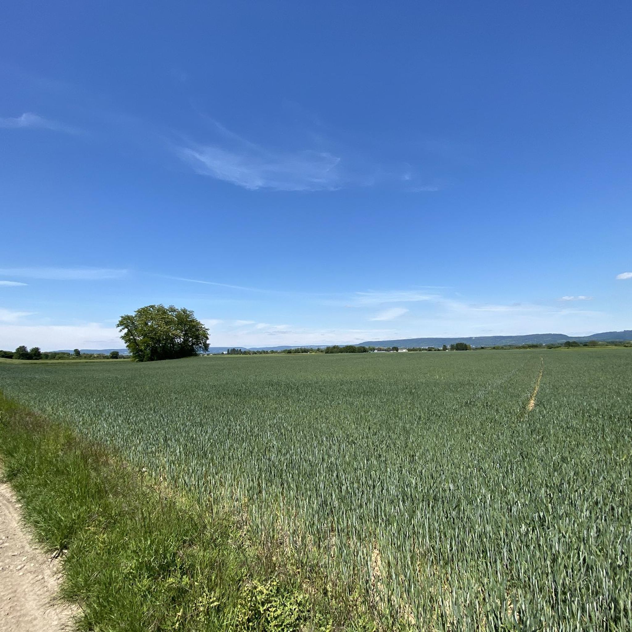
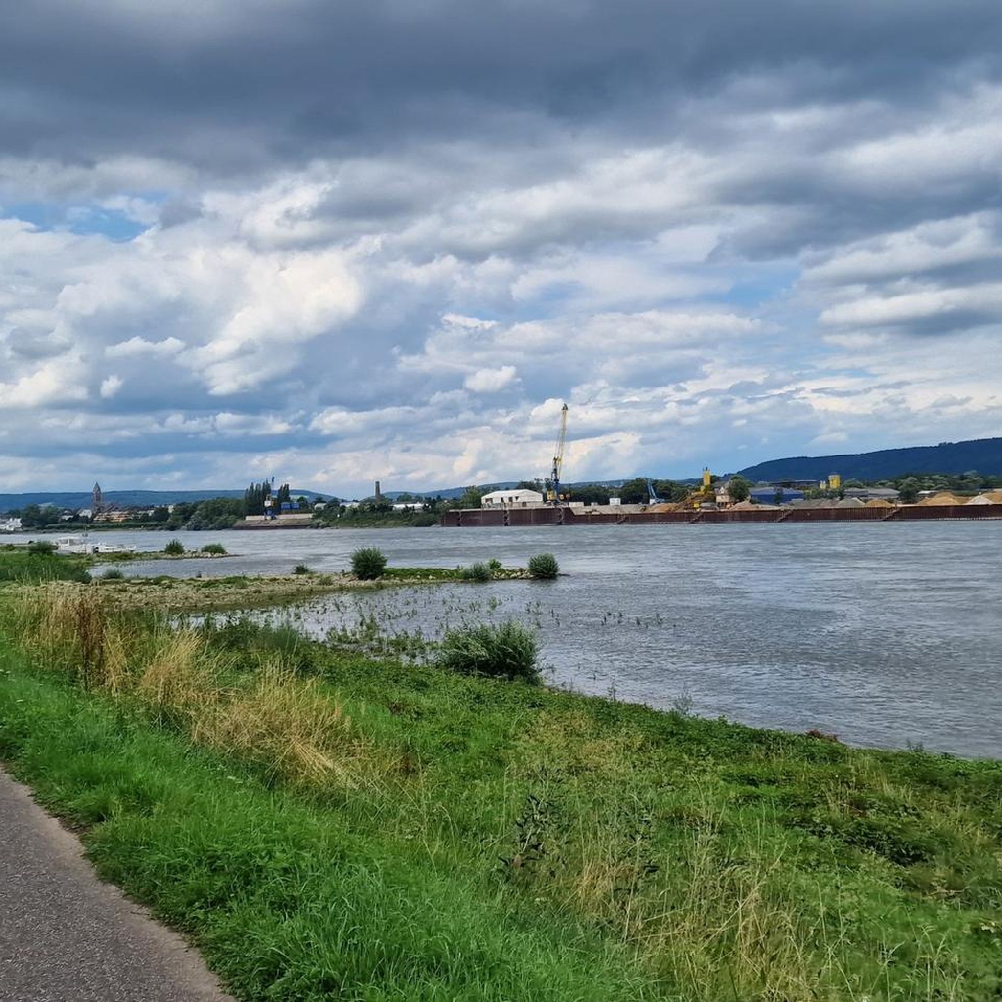
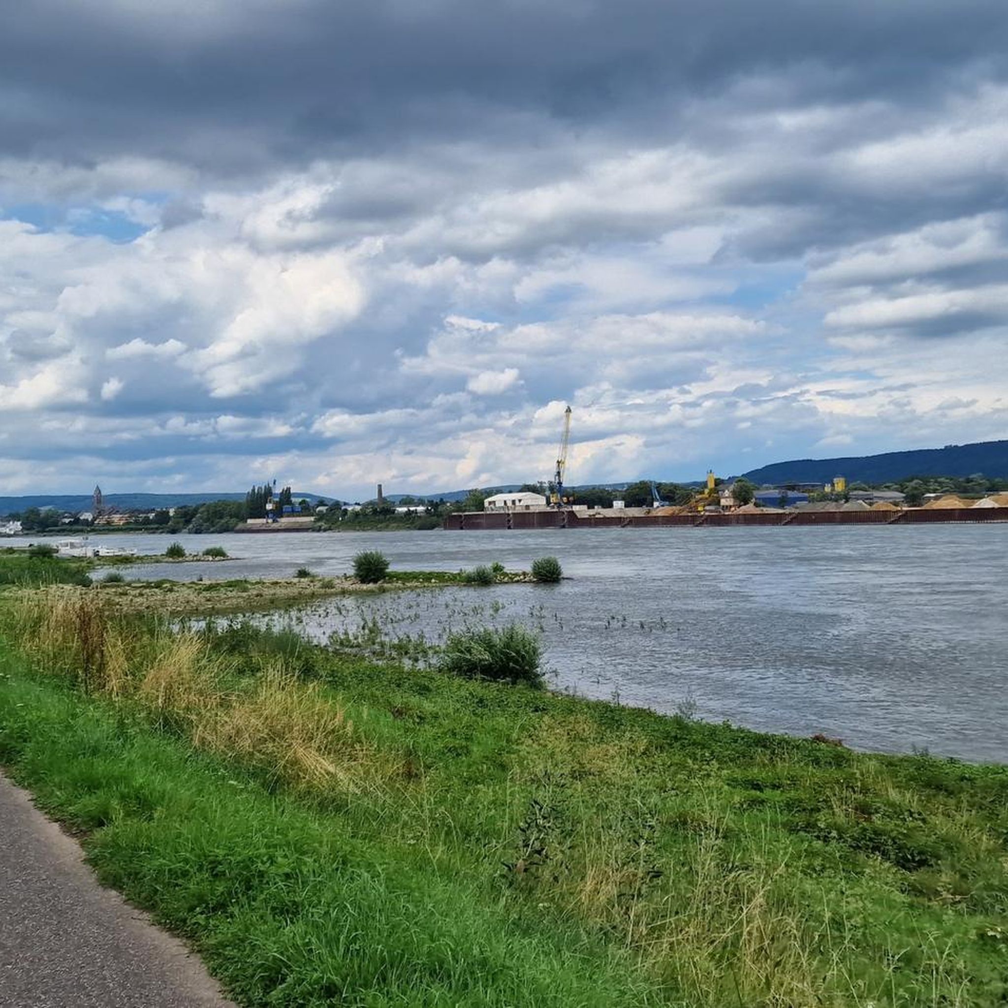
Hiking around Sankt Sebastian offers a variety of trails suitable for different fitness levels. The local landscape is characterized by gentle terrain with minimal elevation changes, making it ideal for accessible walks. Trails often feature views of local rivers and surrounding green areas, providing opportunities to experience the region's natural environment. The area provides options for short, easy walks through woodlands and along riverbanks.
Best hiking trails around Sankt Sebastian
- The most popular hiking route is Sähmann's Cross loop from…
Last updated: July 1, 2026
3.0
(1)
27
hikers
6.49km
01:39
10m
10m
Easy hike. Great for any fitness level. Easily-accessible paths. Suitable for all skill levels.
5.0
(1)
14
hikers
3.85km
00:59
10m
10m
Easy hike. Great for any fitness level. Easily-accessible paths. Suitable for all skill levels.

Sign up for free
4.1
(13)
11
hikers
6.14km
01:34
20m
20m
Easy hike. Great for any fitness level. Easily-accessible paths. Suitable for all skill levels.
5.0
(1)
12
hikers
Easy hike. Great for any fitness level. Easily-accessible paths. Suitable for all skill levels.
9
hikers
3.35km
00:51
10m
10m
Easy hike. Great for any fitness level. Easily-accessible paths. Suitable for all skill levels.
Get access to more routes and recommendations from other explorers.
Sign up for free
Already have an account?
Our route recommendations are based on thousands of hikes, rides, and runs completed by other people on komoot.
Start today with a free account
Your next adventure awaits.
Login or Signup
Tips from the Community

Federal highway with difficult access
1
0

I don't know if you can know the water zri.
0
0

Here, a cycle path runs parallel to the A48 over the bridge, making it easy to cross the Rhine. But be careful: on the left bank, you access the bridge via a ramp; on the right bank, you have to carry your bike up the stairs.
1
0

Rhine kilometer 599 can be found here.
5
2

In the summer with a beer garden. Highly recommended 👍
0
0

A very nice walk along the river.
0
0

cool drinking water right on the Rhine cycle path
1
0

Lockers with socket!
1
0
Frequently Asked Questions
What kind of terrain can I expect on hikes around Sankt Sebastian?
The hiking trails around Sankt Sebastian are generally characterized by gentle terrain with minimal elevation changes. You'll find accessible paths through woodlands and along riverbanks, offering pleasant walks suitable for various ability levels. The region's landscape often features views of local rivers and green areas.
How many hiking routes are available in Sankt Sebastian?
There are over a dozen hiking routes available in Sankt Sebastian. The majority of these, 13 out of 14, are classified as easy, with one moderate option. This makes the area particularly suitable for relaxed walks.
Are there any circular walks in Sankt Sebastian?
Yes, many of the routes in Sankt Sebastian are circular. For example, you can enjoy the Sähmann's Cross loop from Bendorf, which is 4.0 miles long, or the Bendorf Bridge loop from Bendorf, covering 3.8 miles.
What are some notable landmarks or natural features to see while hiking?
While hiking, you can discover several interesting features. The St. Sebastian Chapel – View of Bendorfer Bridge loop from Bendorf passes by the historic St. Sebastian Chapel and offers views of the Bendorfer Bridge. The area also features natural attractions like the Brexbach Valley and the Brexbachtal Railway Tunnel and Stream, which are part of the local canyon landscape.
Are there any viewpoints or scenic spots along the trails?
Yes, you can find scenic viewpoints. The St. Sebastian Chapel – View of Bendorfer Bridge loop from Bendorf offers views of the Bendorfer Bridge. Additionally, the View over the Brexbach Valley from Teufelsberg provides a panoramic perspective of the surrounding natural beauty.
What do other hikers say about the trails in Sankt Sebastian?
The routes in Sankt Sebastian are highly rated by the komoot community, with an average score of 4.5 stars from over 9,000 reviews. More than 40,000 hikers have explored the area, often praising the gentle paths, river views, and accessible green areas that define the region's hiking experience.
Are there any family-friendly hiking options in Sankt Sebastian?
Given that 13 out of 14 routes are classified as easy with minimal elevation gain, Sankt Sebastian is very suitable for families. Trails like the Sähmann's Cross loop from Bendorf are ideal for walks with children, offering accessible paths through local scenery.
What is the typical length and duration of hikes in Sankt Sebastian?
Hikes in Sankt Sebastian vary in length, but many are designed for shorter outings. For example, the St. Sebastian Chapel – View of Bendorfer Bridge loop from Bendorf is 2.4 miles (3.8 km) and takes about 1 hour. Longer options like the Sähmann's Cross loop from Bendorf are 4.0 miles (6.5 km) and typically take around 1 hour 38 minutes.
Are there any challenging hikes for experienced hikers?
The routes listed for Sankt Sebastian are predominantly easy, with only one classified as moderate and none as difficult. The local guide focuses on gentle paths and minimal elevation. For more challenging options, you might need to explore areas further afield within the broader region, which offers routes with greater elevation and longer durations.
Can I find trails that feature water elements like rivers or streams?
Yes, the hiking experience in Sankt Sebastian often includes views of local rivers and paths along riverbanks. You can also explore natural features like the Brexbachtal Railway Tunnel and Stream and the Mühlenbach Valley, which are part of the local canyon system.
Are there any historical points of interest along the hiking trails?
Yes, some trails incorporate historical elements. The St. Sebastian Chapel – View of Bendorfer Bridge loop from Bendorf passes by the St. Sebastian Chapel, offering a glimpse into local history. Additionally, the Historic Drinking Fountain – Kingfisher Landing Spot loop from Kaltenengers features a historic drinking fountain.
Most popular routes around Sankt Sebastian
Most popular attractions around Sankt Sebastian

Get inspired with the komoot mobile app


Explore more
Browse the best Hikes in other regions.
