The best road cycling routes around Salemi
4.6
(29)
536
riders
22
rides
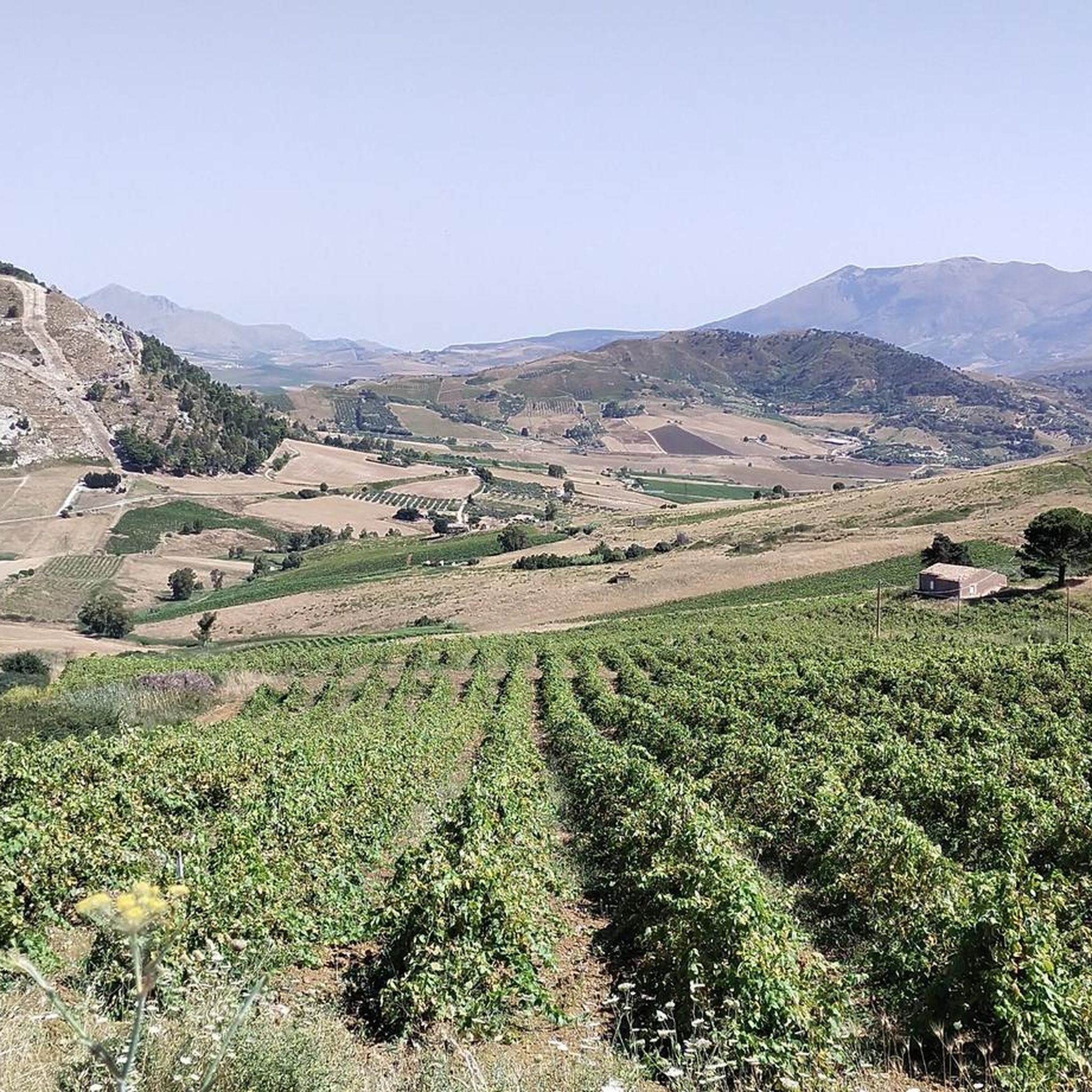
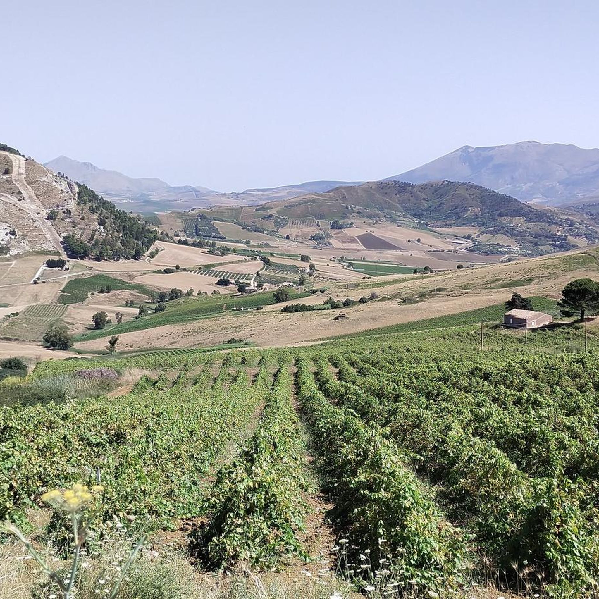
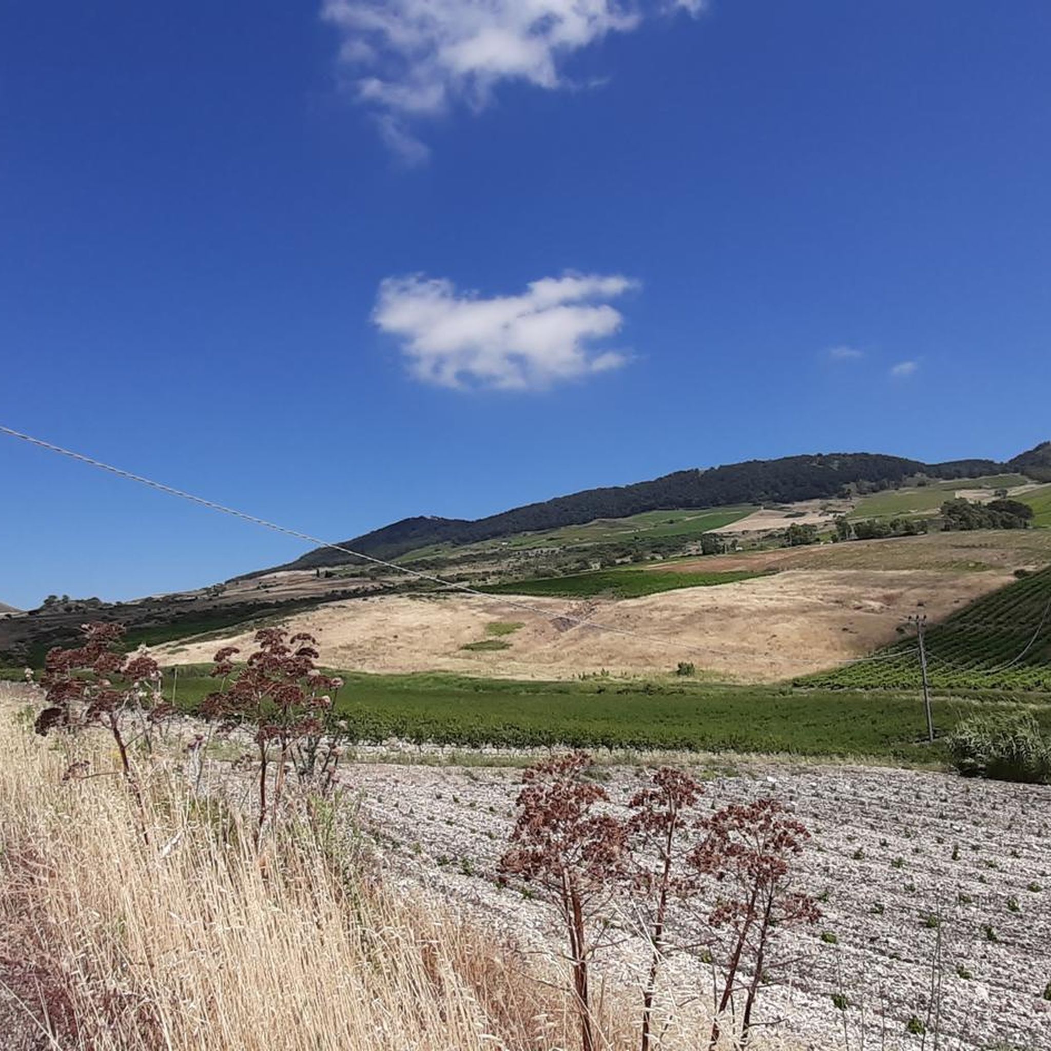
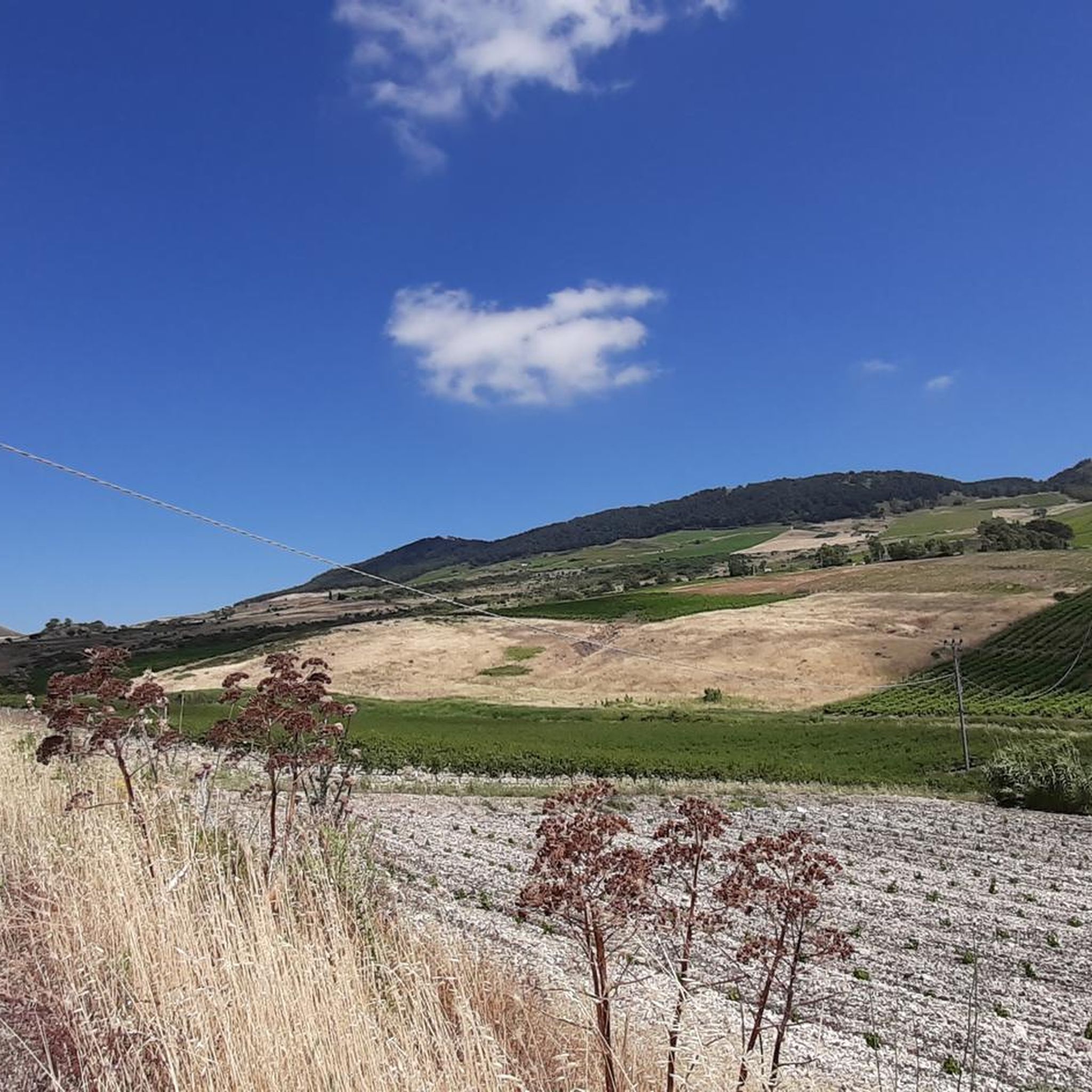
Road cycling routes around Salemi offer diverse terrain across western Sicily, characterized by rolling hills, fertile valleys, and extensive vineyards. The region, situated at an elevation of 442 meters, provides panoramic views stretching towards the Belice countryside. Cyclists encounter mostly paved surfaces, with routes winding through agricultural landscapes and past historical sites. The topography includes both moderate climbs and more demanding ascents, catering to various skill levels.
Best road cycling routes around Salemi
- The most popular road cycling route is…
Last updated: September 24, 2026
5.0
(1)
5
riders
48.0km
02:31
720m
720m
Moderate road ride. Good fitness required. Mostly well-paved surfaces and easy to ride.
5.0
(4)
38
riders
98.9km
04:38
1,320m
1,320m
Hard road ride. Very good fitness required. Mostly well-paved surfaces and easy to ride.

16
riders
114km
05:23
1,530m
1,530m
Hard road ride. Very good fitness required. Mostly well-paved surfaces and easy to ride.
10
riders
91.8km
04:19
1,240m
1,240m
Hard road ride. Very good fitness required. Mostly well-paved surfaces and easy to ride.
10
riders
163km
07:52
2,240m
2,240m
Hard road ride. Very good fitness required. Some segments of this route may be unpaved and difficult to ride.
Get access to more routes and recommendations from other explorers.
Already have an account?
Our route recommendations are based on thousands of hikes, rides, and runs completed by other people on komoot.
Start today with a free account
Your next adventure awaits.

Tips from the Community

The Piazza XV Gennaio 1968, paved with travertine marble, is located in the central area of the city. It owes its name to the memory of the day a violent earthquake destroyed a large part of the Municipalities of the Belìce Valley. On it stands the Town Hall, an imposing frontal structure with geometric shapes, interspersed with glass openings, designed by Vittorio Gregotti and Giuseppe Samonà, supported by a portico decorated with ceramics created by Carla Accardi.
0
0
Road indications along the SS188 leading to Montevago in the province of Agrigento.
9
0
A stretch of the SS188 just before entering the municipality of Montevago in the province of Agrigento.
9
0
The immense and spectacular Land art work by Alberto Burri, where Gibellina once stood. https://it.wikipedia.org/wiki/Cretto_di_Burri
2
0

The "Ludovico Corrao" Museum of Contemporary Art (MAC) is located in Gibellina (Trapani), Sicily, and houses the largest collection of contemporary art in Southern Italy. Born in 1980 on the initiative of the then mayor Ludovico Corrao, the museum represents the symbol of the cultural redemption of the Belice Valley after the devastating earthquake of 1968.
2
0
A village uninhabited for decades, ever since the entire population was relocated en masse to a brand-new town. Three thousand people, the exodus of survivors of the 1968 earthquake that destroyed entire towns in the provinces of Trapani and Agrigento. Today, only façades remain, baroque railings, old majolica tiles, a tangle of houses leaning against the bell tower of the main church, and stairways that look like they were cut out with scissors on a sheet of paper. Before the earthquake, Poggioreale was a delightful baroque village, with noble palaces, the square with the club, the inn, and everything else. The ruins bear witness to a tragedy from 40 years ago: fear, escape, separation. A place that, due to its beauty and the evocative atmosphere it evokes, has been the setting for numerous famous films: it is here that Tornatore filmed some scenes from Malena and The Star Man. An island out of time, with the hands of the clock stopped on the terrible night of January 15, 1968.
20
0
The Belice Gate, or Belice Gate, is a stainless steel installation by Pietro Consagra erected on the road leading to the town of Gibellina Nuova. The work recalls the town lights that were once displayed for the holidays, but over time it has also become a symbol of the Belice Valley. It was erected following the artistic reconstruction of Gibellina, as desired by Mayor Ludovico Corrao. The work is 26 meters tall.
25
0
Piazza 15 gennaio 1968 is the main square of the city of Gibellina, dedicated to the tragedy that struck it on the night between 14 and 15 January 1968 with a terrible earthquake.
16
0
Frequently Asked Questions
What kind of terrain can I expect on road cycling routes around Salemi?
The road cycling routes around Salemi predominantly feature paved surfaces, winding through the picturesque Belice Valley. You'll encounter rolling hills, extensive vineyards, and olive groves, offering a constantly changing and beautiful backdrop. While most routes are paved, some might include short unpaved segments, so it's good to be prepared for varied conditions.
Are there challenging road cycling routes for experienced riders in Salemi?
Yes, Salemi offers several challenging routes with significant elevation gains, suitable for experienced cyclists. For instance, the Climb to Balata di Baida – Castellammare del Golfo loop from Salemi-Gibellina is a difficult 113.5 km ride with over 1,500 meters of elevation. Another demanding option is the Terme di Segesta loop from Salemi-Gibellina, covering nearly 168 km with over 2,300 meters of climbing.
What are some scenic viewpoints or landmarks I can see while cycling near Salemi?
Salemi's routes offer numerous scenic viewpoints and historical landmarks. You can enjoy a Wonderful view of Salemi itself from various points. The Climb to the cretto of Ghibellina at the ruins of Poggio Reale route takes you near the poignant Cretto di Burri, a significant land art installation. Many routes also pass through the Historic Centre of Salemi, allowing you to explore its medieval charm and the Salemi Norman Castle.
Are there any circular road cycling routes available in Salemi?
Yes, many of the road cycling routes around Salemi are designed as loops, allowing you to start and finish in the same location. Examples include the Terre Sicane Wine Route loop from Salemi-Gibellina, a challenging 91.4 km ride, and the Wonderful view of Salemi – View of Gibellina loop from Salemi, a moderate 56.9 km option.
What do other road cyclists enjoy most about cycling in Salemi?
The area is highly rated by the komoot community, with an average score of 4.69 stars from 32 ratings. Reviewers often praise the stunning landscapes of the Belice Valley, the challenging climbs, and the opportunity to combine cycling with cultural exploration of historic towns and archaeological sites.
Can I find routes that pass by historical sites or archaeological parks?
Absolutely. Salemi is rich in history. Several routes offer access to significant historical and archaeological sites. For instance, the Terme di Segesta loop from Salemi-Gibellina can bring you close to the Segesta Archaeological Park and its Ancient Theater. The region also boasts archaeological areas like Mokarta, Monte Polizo, and San Miceli, important for the history of the Mediterranean.
What is the best time of year for road cycling in Salemi?
While specific weather conditions vary, the mild Mediterranean climate of Sicily generally makes spring (April-May) and autumn (September-October) ideal for road cycling in Salemi. During these seasons, temperatures are pleasant, and the landscape is vibrant, offering comfortable riding conditions before the peak heat of summer.
Are there any moderate-difficulty road cycling routes suitable for intermediate riders?
Yes, Salemi offers several moderate routes. The Climb to the cretto of Ghibellina at the ruins of Poggio Reale is a moderate 48 km route with around 720 meters of elevation gain. Another good option is the View of Gibellina – Bevaio Nuovo loop from Salemi Gibellina, which is about 52 km long with similar elevation.
Are there opportunities to explore the local wine region by bike?
Definitely. Salemi is situated amidst extensive vineyards, making it an excellent base for exploring the local wine region. The Terre Sicane Wine Route loop from Salemi-Gibellina is specifically designed to take you through this beautiful area, allowing you to experience the rich viticultural landscape of western Sicily.
What is the longest road cycling route available from Salemi?
The longest route listed is the Erice – Stagnone Cycle Path loop from Salemi-Gibellina, which spans approximately 173 km with nearly 1,900 meters of elevation gain. This difficult route offers an extensive exploration of the region, connecting Salemi to coastal areas and other significant landmarks.
Most popular attractions around Salemi

Get inspired with the komoot mobile app


Explore more
Browse the best Road cycling routes in other regions.
