The best walks and hikes around Sant'Antonino
4.5
(3195)
23,064
hikers
553
hikes
Hiking around Sant'Antonino, located in the Ticino region of Switzerland, offers diverse terrain for outdoor exploration. The area features undulating landscapes between valleys such as the Isonetal and locations like Gola di Lago. Trails provide panoramic views from elevated points, traversing through varied natural settings. The region is characterized by its access to the Alps and scenic routes within the heart of Ticino.
Best hiking trails around Sant'Antonino
- The most popular hiking route is From Isone to the peaks of…
Last updated: July 7, 2026
5.0
(2)
19
hikers
13.5km
04:42
660m
660m
Moderate hike. Good fitness required. Mostly accessible paths. Sure-footedness required.
5
hikers
7.28km
01:50
10m
10m
Enjoy an easy 4.5-mile (7.3 km) circular hike along the Ticino river from Cadenazzo, passing the scenic Laghetto di Gudo.

Sign up for free
5.0
(2)
6
hikers
9.77km
03:31
450m
450m
Moderate hike. Good fitness required. Mostly accessible paths. Sure-footedness required.
4
hikers
16.5km
07:19
1,270m
1,270m
Hard hike. Very good fitness required. Sure-footedness, sturdy shoes and alpine experience required.
18.9km
05:57
620m
620m
Hike the challenging 11.8-mile From San Antonino to the Carasc Tibetan Bridge loop, featuring stunning views and a thrilling suspension brid
Get access to more routes and recommendations from other explorers.
Sign up for free
Already have an account?
Our route recommendations are based on thousands of hikes, rides, and runs completed by other people on komoot.
Start today with a free account
Your next adventure awaits.
Login or Signup

Tips from the Community

pretty here, very pretty
0
0
Scenically very great tour. Top Top Top
0
0

Magnificent 360-degree panoramic view
6
0


Excellent view of the Southern Alps, as far as Lake Maggiore and Lake Lugano. You can see Bellinzona and Locarno
0
0
Magnificent summit with 360 degree panorama.
8
0

For bird watching, the wooden structure has been updated. Now much larger.
0
0

Small nature reserve with a small observation tower.
0
0
Frequently Asked Questions
How many hiking trails are available around Sant'Antonino?
There are over 560 hiking trails around Sant'Antonino, offering a wide range of options for all skill levels. This includes 186 easy routes, 270 moderate excursions, and 107 more challenging mountain paths.
Are there easy hiking options for beginners in Sant'Antonino?
Yes, Sant'Antonino offers many easy hiking options suitable for beginners. For instance, the Cadenazzo Ticino Floodplains Loop is a 4.5-mile (7.3 km) trail that takes about 1 hour 50 minutes to complete, leading through pleasant floodplains.
Can I find circular hiking routes in the Sant'Antonino area?
Absolutely. Many routes in Sant'Antonino are designed as circular tours. A popular choice is the From Isone to the peaks of Dentro and Medeglia – loop tour, which is a moderate 8.4-mile (13.5 km) trail offering scenic views.
What are some family-friendly hiking trails near Sant'Antonino?
For families, the easier routes are generally best. The Cadenazzo Ticino Floodplains Loop is a good option, providing a relatively flat and accessible path through natural settings. The region's varied terrain also includes many short, pleasant walks through valleys.
Are dogs allowed on the hiking trails around Sant'Antonino?
Generally, dogs are welcome on hiking trails in the Ticino region. However, it's always advisable to keep them on a leash, especially in nature reserves, near livestock, or in crowded areas. Be sure to check specific trail regulations if you plan to visit a protected area.
What kind of views can I expect on hikes in Sant'Antonino?
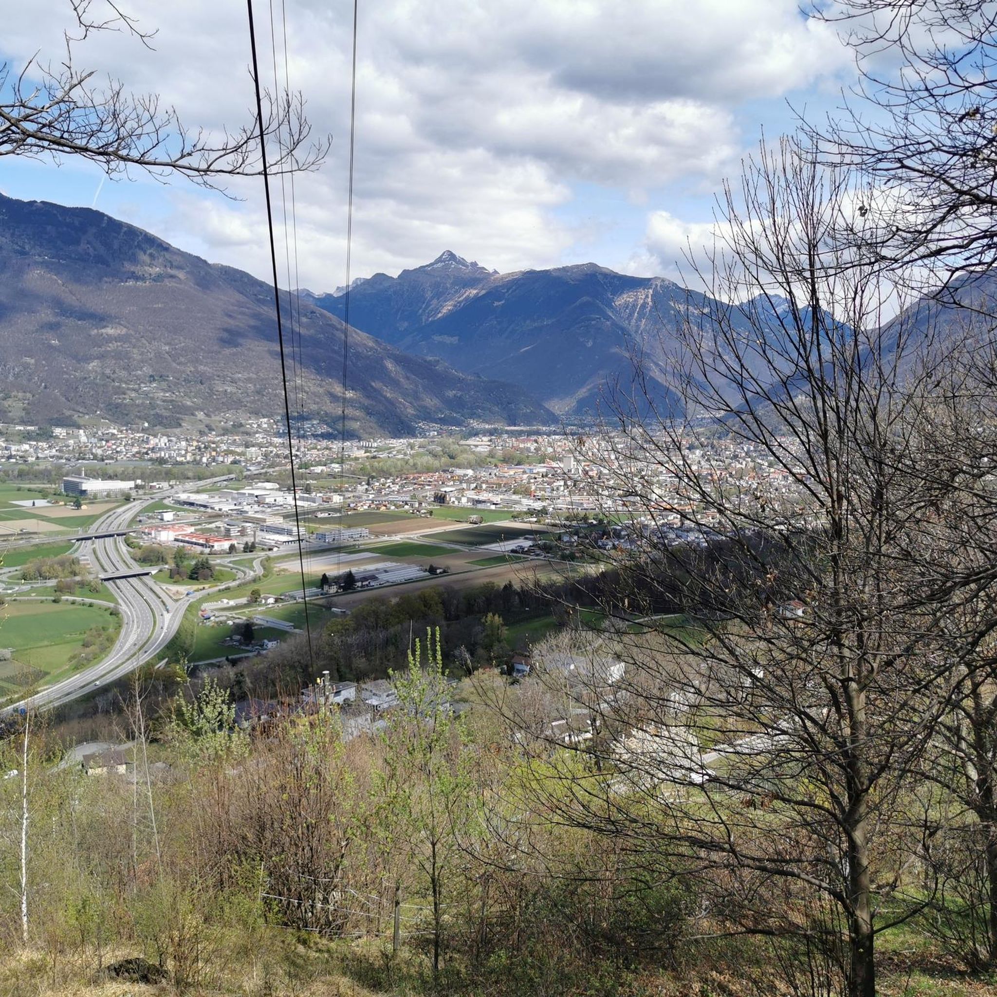
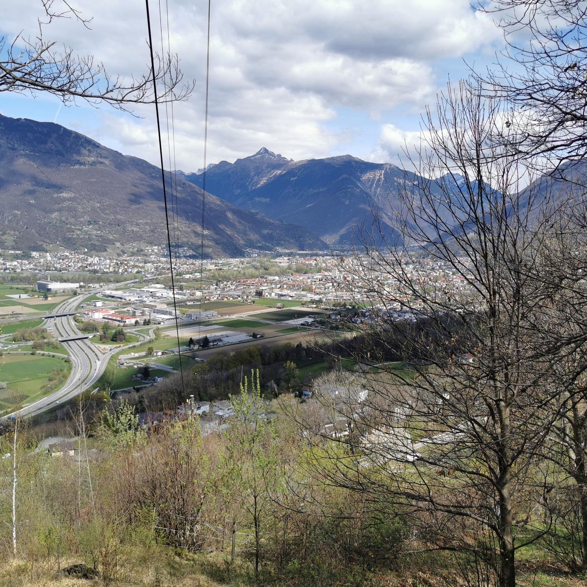
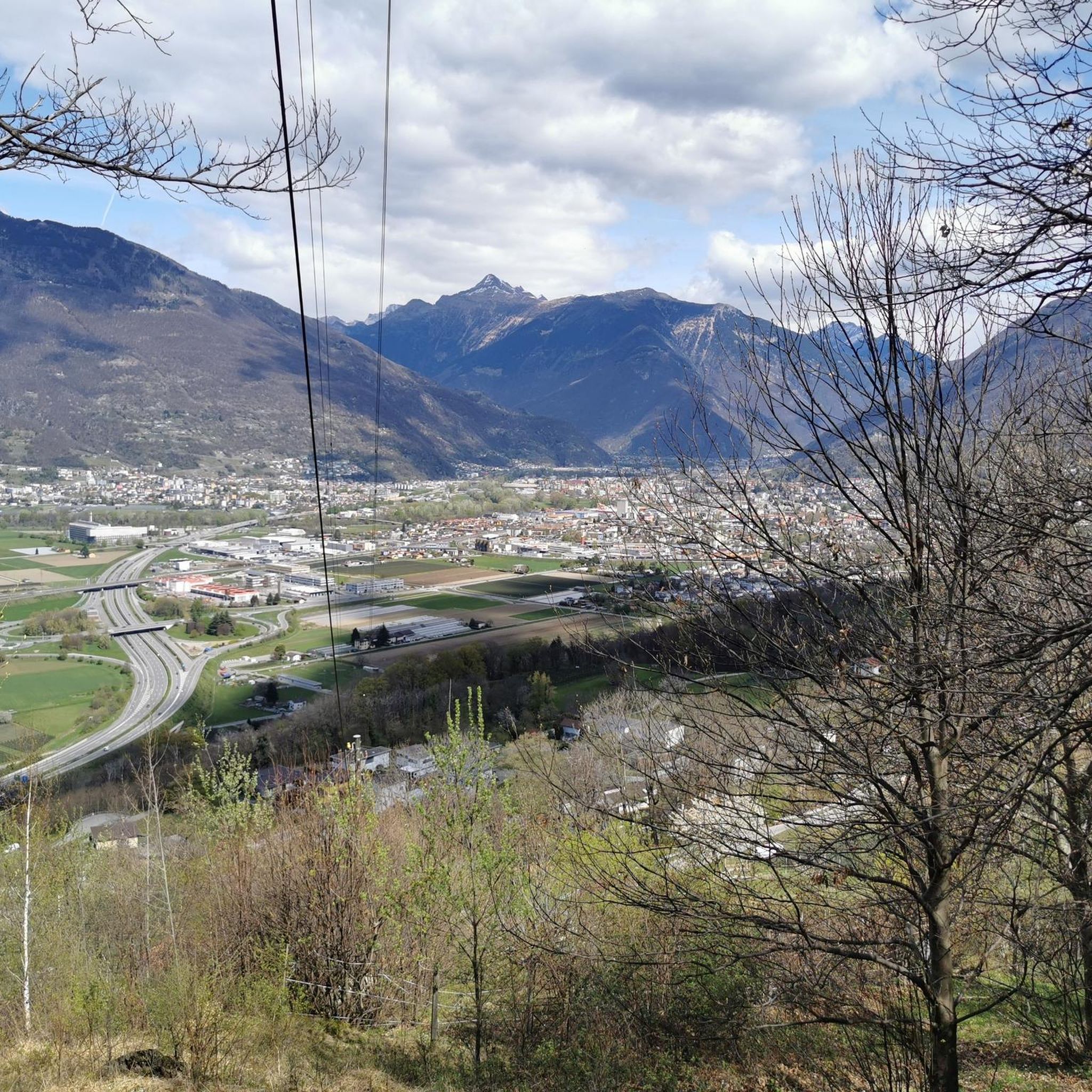
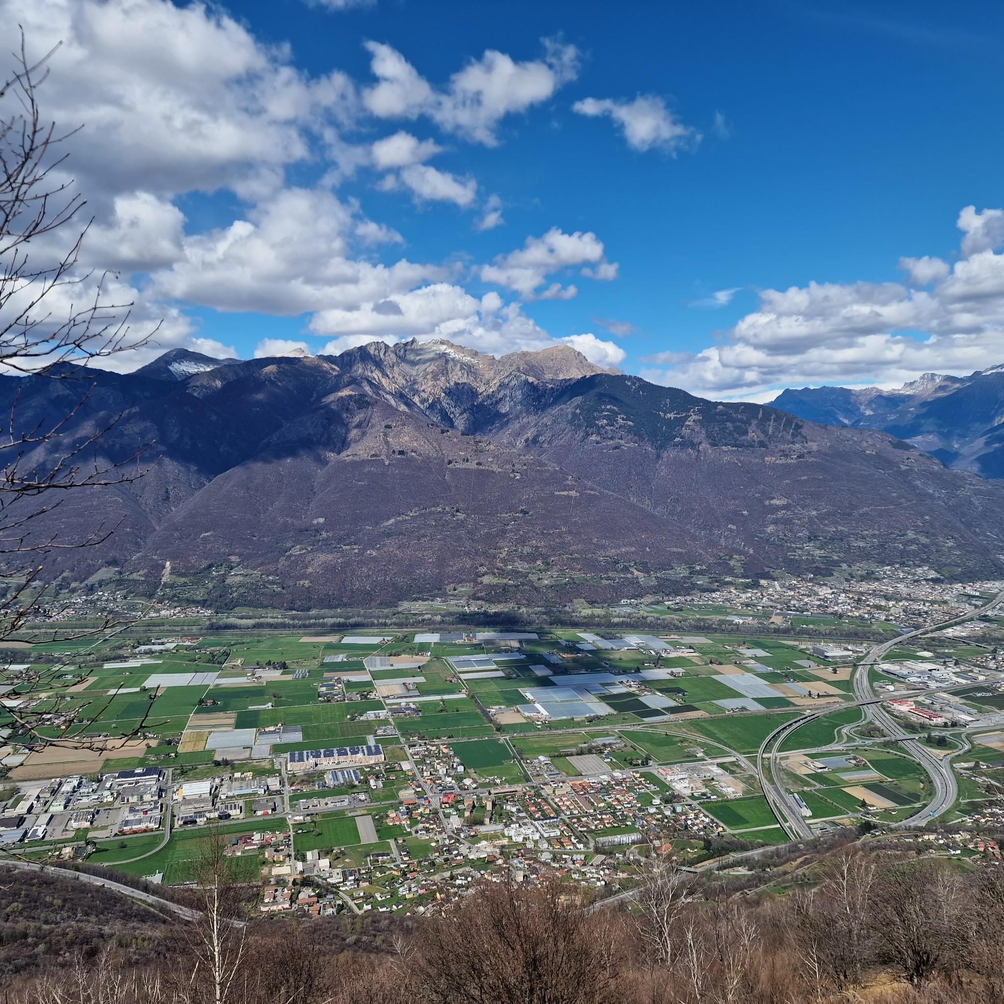
Hikes around Sant'Antonino offer diverse and panoramic views. From elevated points, you can enjoy sweeping vistas of the Ticino valleys, including the Isonetal, and the surrounding Alps. Trails also traverse through undulating terrain, providing varied natural scenery.
Are there any notable landmarks or attractions to see while hiking near Sant'Antonino?
Yes, the area around Sant'Antonino features several interesting landmarks. You can explore mountain passes like Monte Ceneri Pass or Alpe di Neggia. For a unique experience, consider a route that includes the Carasc Tibetan Bridge, a significant man-made structure.
What is the best time of year to go hiking in Sant'Antonino?
The best time for hiking in Sant'Antonino is typically from spring through autumn. During these seasons, the weather is generally mild, and the trails are clear. Spring brings lush greenery, while autumn offers vibrant colors and comfortable temperatures for longer excursions.
Is it possible to hike in Sant'Antonino during winter?
Winter hiking in Sant'Antonino is possible, especially on lower-altitude trails. However, higher mountain paths may be covered in snow and ice, requiring appropriate gear and experience. Always check local conditions and weather forecasts before heading out in winter.
How can I reach the hiking trailheads around Sant'Antonino using public transport?
Sant'Antonino is located in the Ticino region, which has a well-developed public transport network. Many trailheads are accessible by bus or train, connecting to major hubs like Bellinzona. It's recommended to check local transport schedules for specific routes and starting points.
Where can I find parking for hiking trails in Sant'Antonino?
Parking is generally available near popular trailheads and in the villages surrounding Sant'Antonino. Look for designated parking areas in towns like Isone or Cadenazzo, which serve as starting points for many routes. Some smaller trailheads might have limited parking, so plan accordingly.
Are there any longer or more challenging hikes for experienced hikers?
Yes, experienced hikers will find challenging routes in Sant'Antonino. The region offers 107 difficult trails, such as the From Progero to Orino hut and San Defendente – loop tour, which is a demanding 10.3-mile (16.5 km) path with significant elevation gain.
What do other hikers say about the trails in Sant'Antonino?
The hiking trails in Sant'Antonino are highly rated by the komoot community, with an average score of 4.5 stars from over 2900 reviews. Hikers often praise the diverse terrain, panoramic viewpoints, and the well-maintained paths that traverse through valleys and elevated areas.
Most popular routes around Sant'Antonino
Most popular attractions around Sant'Antonino

Get inspired with the komoot mobile app


Explore more
Browse the best Hikes in other regions.
