The best walks and hikes around San Vittore
4.5
(1996)
13,574
hikers
404
hikes
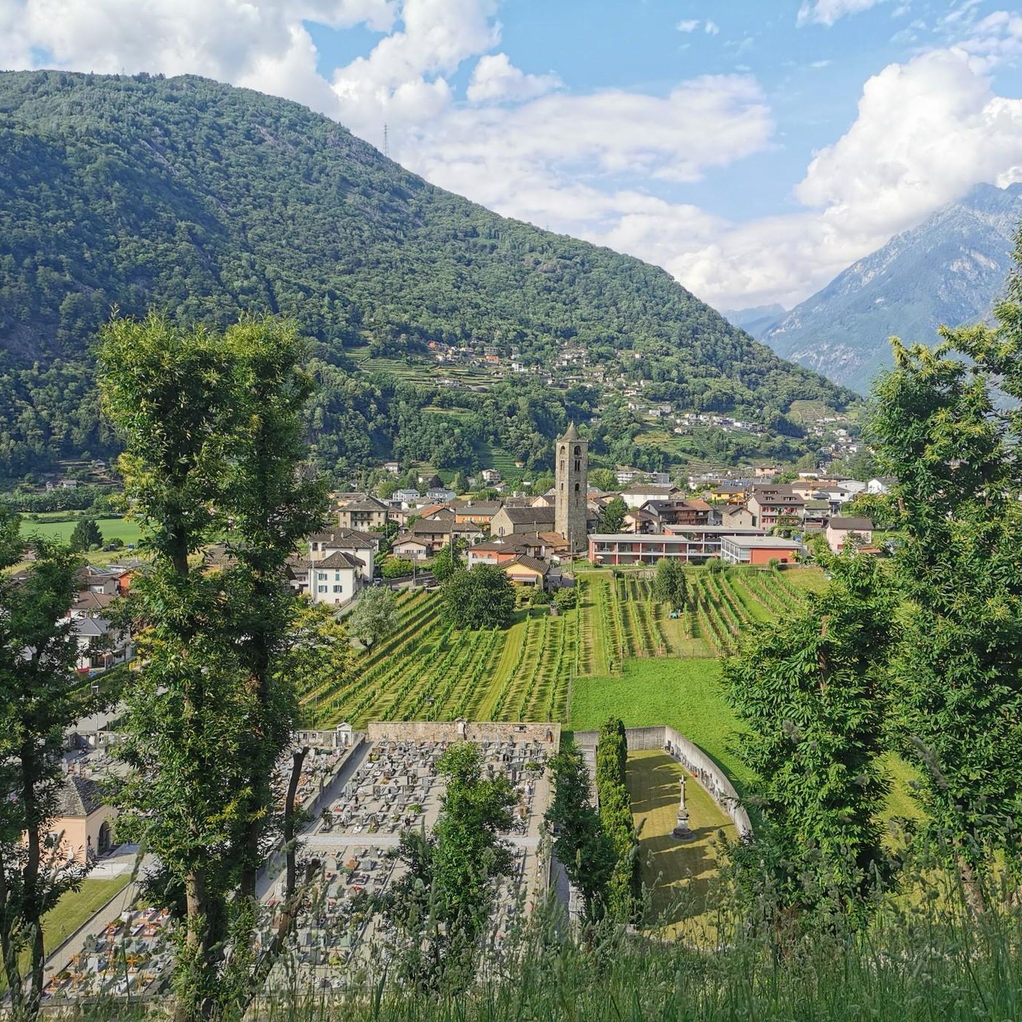
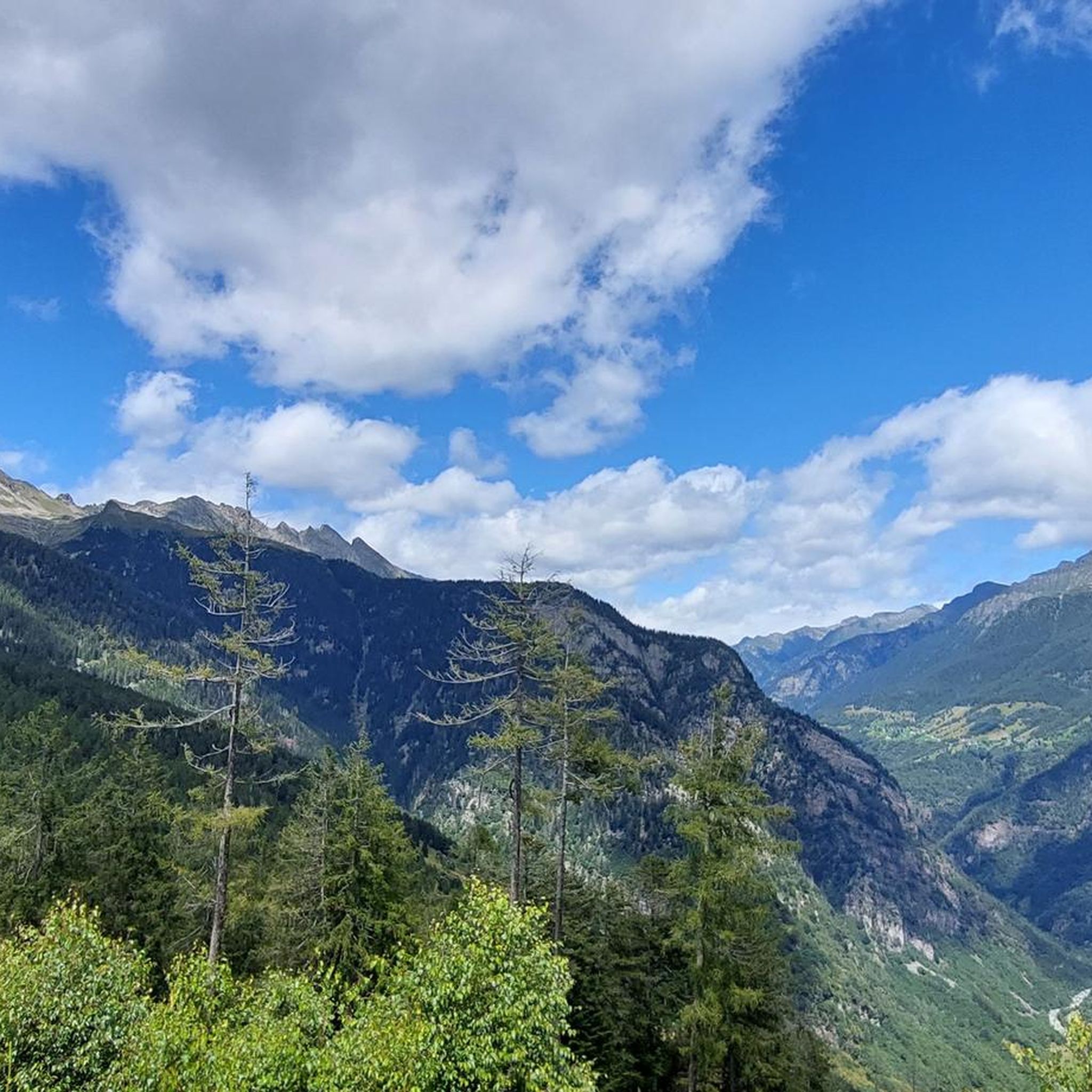
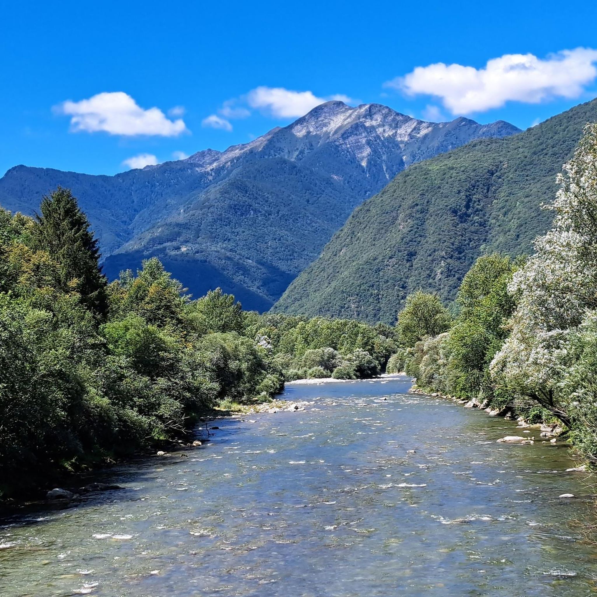
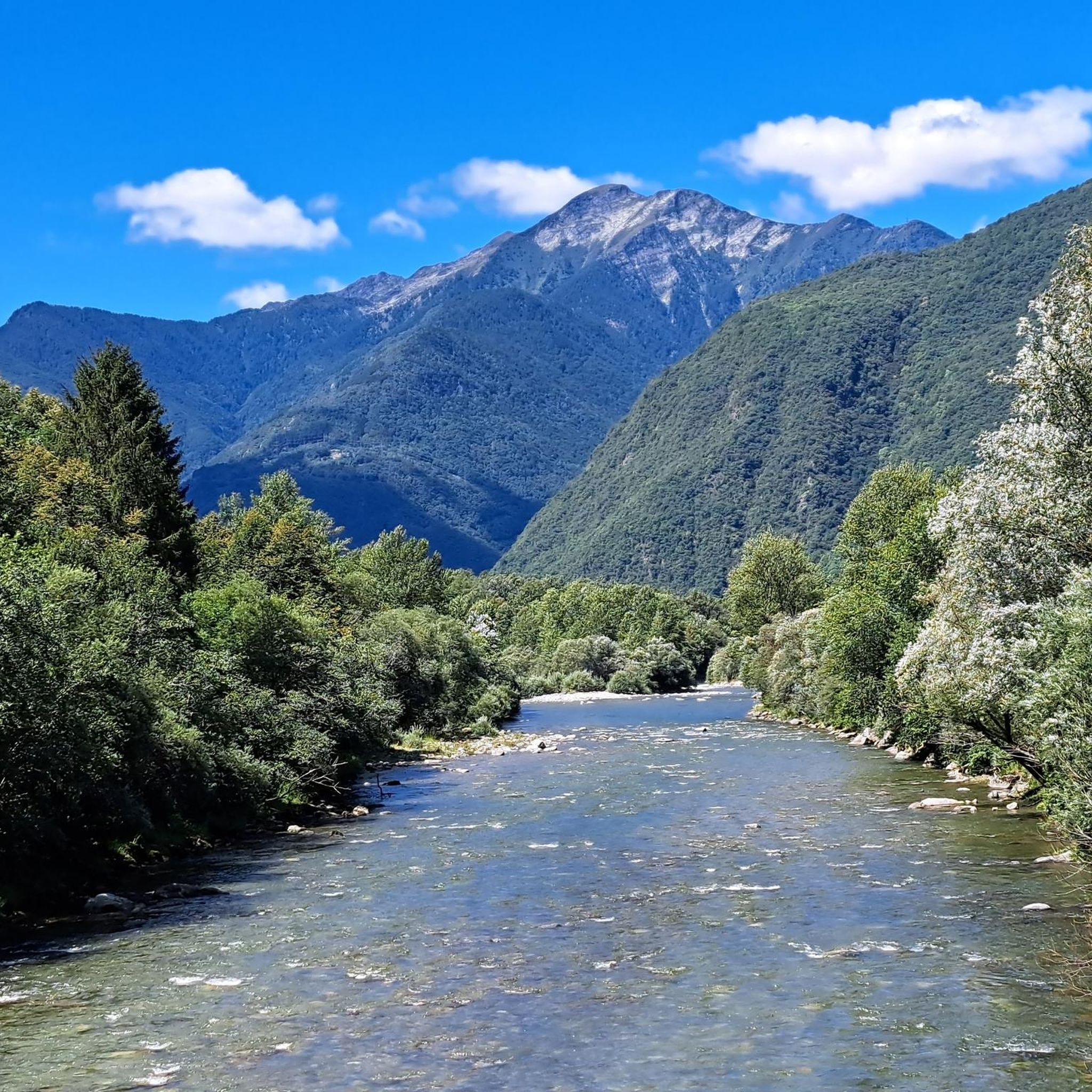
Hiking around San Vittore, located in the Grisons Canton of Switzerland, offers diverse and scenic outdoor experiences. The region is characterized by mountain peaks, pristine lakes, cascading waterfalls, and dramatic canyons. Hikers can explore challenging mountain passes and trails that provide extensive vistas. The landscape features a mix of alpine terrain and lower-elevation paths.
Best hiking trails around San Vittore
- The most popular hiking route is Pizzo di Claro and Capanna Brogoldone Loop, an 11.1 miles (17.9 km) trail…
Last updated: July 7, 2026
5.0
(1)
6
hikers
17.9km
08:51
1,510m
1,510m
Hard hike. Very good fitness required. Sure-footedness, sturdy shoes and alpine experience required.
4.0
(1)
20
hikers
13.6km
03:30
60m
60m
Moderate hike. Good fitness required. Mostly accessible paths. Sure-footedness required.

Sign up for free
3.7
(3)
9
hikers
15.3km
06:48
1,090m
1,090m
Hard hike. Very good fitness required. Mostly accessible paths. Sure-footedness required.
18.9km
08:25
1,300m
1,300m
Hard hike. Very good fitness required. Sure-footedness, sturdy shoes and alpine experience required.
5.0
(6)
31
hikers
11.3km
04:48
800m
800m
Hard hike. Good fitness required. Sure-footedness, sturdy shoes and alpine experience required.
Get access to more routes and recommendations from other explorers.
Sign up for free
Already have an account?
Our route recommendations are based on thousands of hikes, rides, and runs completed by other people on komoot.
Start today with a free account
Your next adventure awaits.
Login or Signup
Other adventures around San Vittore

Tips from the Community

Level T4 ascent, difficult route for experienced hikers, but with few exposed sections and easily passable. Caution is advised in late summer due to snow.
2
0

The Capanna Brogoldone is an alpine pasture with two main huts. One hut can accommodate up to 59 people. The other hut houses a small restaurant. Amazing views from up there!
4
0
Take the train up to Monti di Saurù and from there take a lovely hike.
3
0

It's simply fantastic up there. It's easily accessible on foot or by the Pizzo di Claro cable car.
8
0
The Capanna Brogoldone was once a mountain pasture and is today the result of a desire to preserve the remains of a bygone era. From 1995 to 1998, a group of volunteers set to work renovating the two existing buildings while maintaining the typical structure of the pasture: the former stable became a dormitory, and the building that once served as a cheese dairy and shelter for the mountain herders was converted into a kitchen and dining room. Source: https://www.brogoldone.ch/
8
1

In the middle of the woods, a huge natural monolith emerges which seems to guard the valley.
0
0
Pizzo di Claro or Visagno, at 2727 m, is a beautiful, little-frequented peak located on the border between the Swiss cantons of Ticino and Grisons. The climb from Piz de Molinera is more demanding than that of the east side.
0
0
Frequently Asked Questions
How many hiking trails are available around San Vittore?
There are over 400 hiking routes around San Vittore, catering to various skill levels. You'll find a good mix of easy, moderate, and difficult trails to explore.
What kind of terrain can I expect on hikes around San Vittore?
The region offers diverse terrain, from challenging mountain peaks and alpine passes to serene valley walks, pristine lakes, cascading waterfalls, and dramatic canyons. You'll encounter a mix of rocky paths, forest trails, and open vistas.
Are there any easy or family-friendly hiking options in San Vittore?
Yes, San Vittore offers over 100 easy routes, perfect for beginners or families. These often include more gentle valley walks and paths through picturesque landscapes.
What do other hikers say about the trails in San Vittore?
The trails in San Vittore are highly regarded by the komoot community, with an average rating of 4.6 stars from over 1800 reviews. Hikers often praise the diverse scenery, well-maintained paths, and the stunning views of the Grisons Canton.
Are there any circular hiking routes around San Vittore?
Yes, there are several circular routes available. For example, the moderate From Lumino to Grosca – loop tour offers a pleasant experience, and for a more challenging option, consider the difficult Passo San Jorio and Laghi di Roggio Loop.
What natural features or landmarks can I see while hiking in San Vittore?
Hikers can discover mountain peaks, natural monuments, pristine lakes like Lake Cama and Laghetto d’Orbello, and dramatic canyons. The area is also known for its mountain passes offering extensive vistas.
Are there any historical sites or cultural attractions near the hiking trails?
Absolutely. You can combine your hike with a visit to the nearby UNESCO World Heritage castles of Bellinzona, including Castelgrande, Montebello Castle, and Sasso Corbaro Castle. The historic village of Curzútt also offers ancient, restored buildings and chestnut forests.
Are dogs allowed on the hiking trails in San Vittore?
While specific restrictions can vary by trail or protected area, generally, dogs are welcome on most hiking trails in the San Vittore region, especially if kept on a leash. Always check local signage for any specific rules.
Are there any huts or places to rest along the longer routes?
Yes, for longer or more challenging routes, you might find alpine huts. The Pizzo di Claro and Capanna Brogoldone Loop, for instance, includes the Capanna Brogoldone, which serves as a rest stop with amazing views.
What is the best time of year to go hiking in San Vittore?
The best time for hiking in San Vittore is typically from late spring to early autumn (May to October), when the weather is mild, and the trails are clear of snow. Higher alpine routes are best enjoyed in mid-summer.
Is public transport available to reach hiking trailheads in San Vittore?
San Vittore is located in the Grisons Canton of Switzerland, an area generally well-served by public transport. Many trailheads are accessible via local bus services or post buses, especially those starting from villages. It's advisable to check local transport schedules for specific routes.
Are there viewpoints offering panoramic vistas along the trails?
Yes, many trails, particularly those ascending to mountain peaks or passes, offer stunning panoramic views. The region is known for its extensive vistas over the alpine landscape, valleys, and even distant views like the View of Lake Como from Monte Bregagno.
Most popular routes around San Vittore
Most popular attractions around San Vittore

Get inspired with the komoot mobile app


Explore more
Browse the best Hikes in other regions.
