The best MTB trails around Grammichele
4.7
(47)
213
riders
30
rides
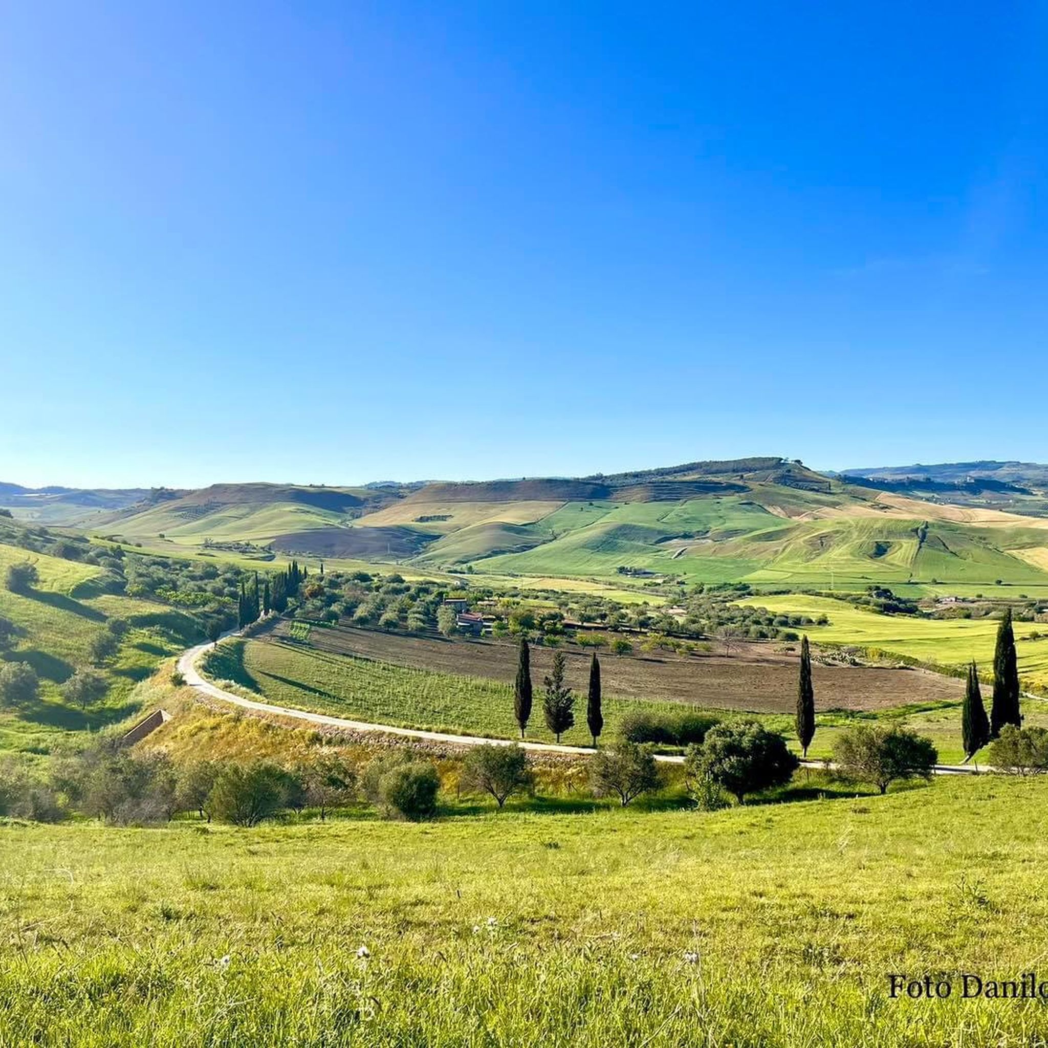
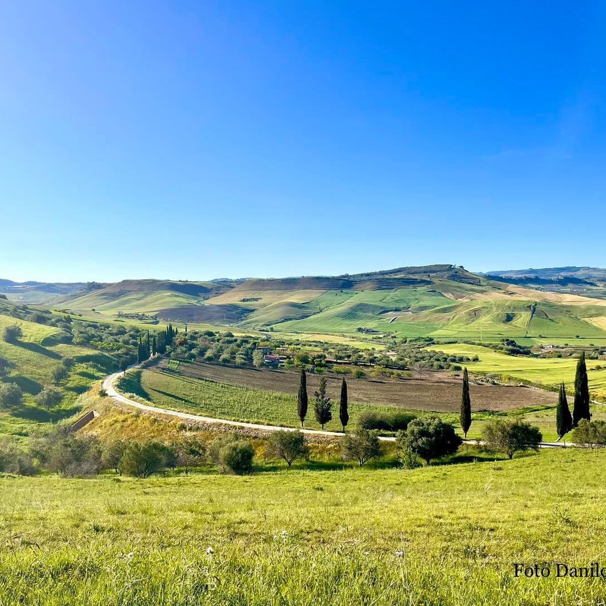
Mountain bike trails around Grammichele offer diverse terrain within eastern Sicily's Iblei mountains. The region features rolling hills and pastoral views, characterized by agricultural landscapes with citrus groves and olive trees. Situated on a plateau, Grammichele provides access to varied riding conditions, from dry sections to more rugged paths, and serves as a gateway to broader natural areas like Etna Park. The terrain includes both gentle slopes and more challenging ascents, providing a dynamic experience for mountain bikers.
Best mountain…
Last updated: July 5, 2026
4.7
(15)
38
riders
57.7km
04:45
1,270m
1,270m
Hard mountain bike ride. Very good fitness required. Advanced riding skills necessary.
3.9
(17)
19
riders
46.9km
03:16
540m
540m
Moderate mountain bike ride. Good fitness required. Suitable for all skill levels.

Sign up for free
4.1
(7)
10
riders
54.1km
03:45
680m
680m
Moderate mountain bike ride. Good fitness required. Suitable for all skill levels.
4.1
(8)
10
riders
41.1km
02:51
610m
610m
Moderate mountain bike ride. Good fitness required. Suitable for all skill levels.
5.0
(2)
9
riders
40.6km
02:55
660m
660m
Moderate mountain bike ride. Good fitness required. Suitable for all skill levels.
Get access to more routes and recommendations from other explorers.
Sign up for free
Already have an account?
Our route recommendations are based on thousands of hikes, rides, and runs completed by other people on komoot.
Start today with a free account
Your next adventure awaits.
Login or Signup
Tips from the Community


The Palace dates back to a period before the earthquake of 1693, when most of the city's buildings were destroyed. The palace belonged to the Crescimanno counts and over the centuries it hosted illustrious personalities such as Ferdinand II of Bourbon and other nobles who visited Caltagirone.
5
0


magnificent, getting there by bike was epic, and the staircase??? majestic!
0
0

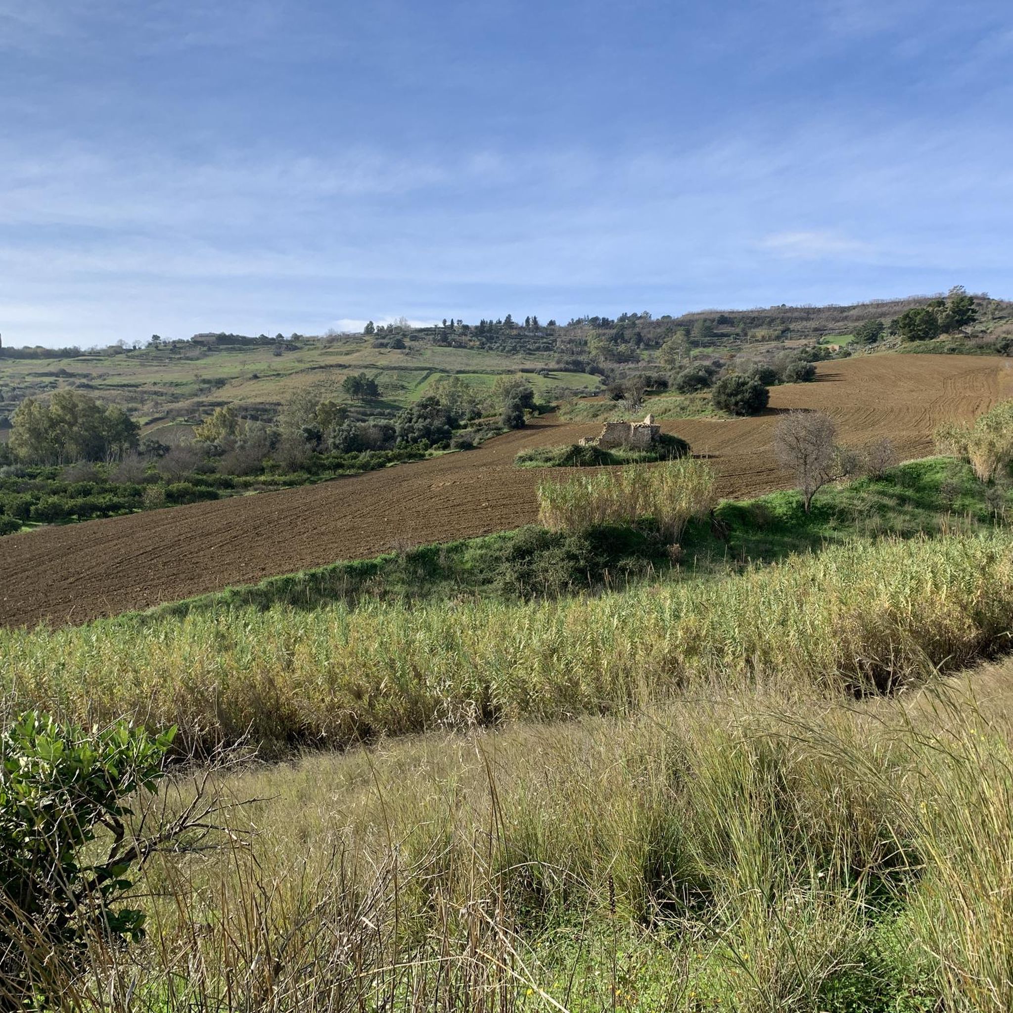
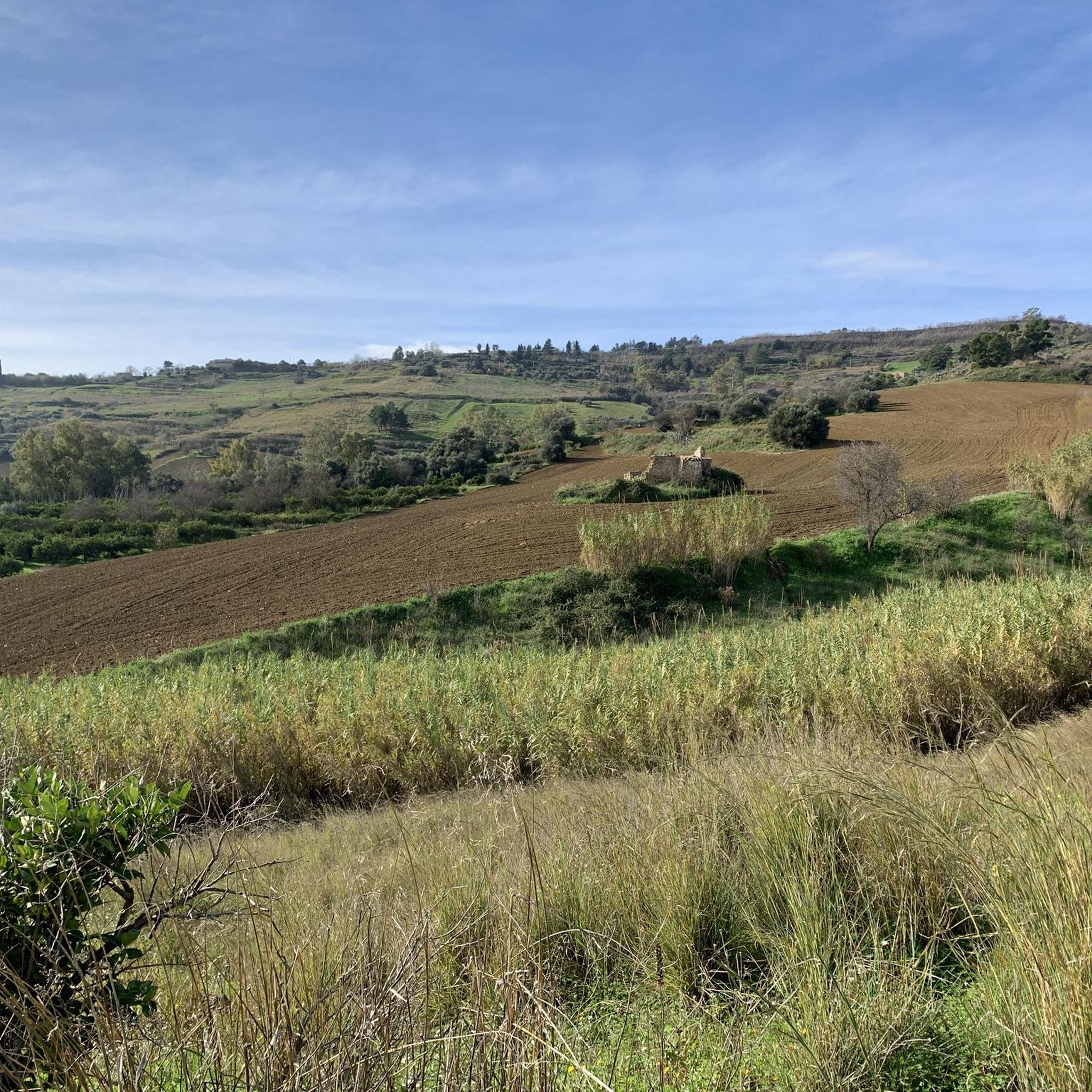
the route downloaded from the network presented several obstacles that were not cyclable due to various landslides as in the photo and others much larger and more extensive.
0
0

The staircase of Santa Maria del Monte is illuminated every year by 4000 candles for two evenings, between 24 and 25 July on the occasion of the feast of the protector San Giacomo. Plays of light illuminate the 142 steps of the seventeenth-century Scala di Santa Maria del Monte, making its majolica tiles a true tapestry of fire. From www.Girasicilia.it
0
0

Sandy stretch along one of the paths of the Santo Pietro forest
0
0
Ramp along an interesting mtb route that crosses the woods
0
0
Frequently Asked Questions
How many mountain bike trails are there around Grammichele?
There are 17 mountain bike trails available around Grammichele. These routes offer a mix of moderate and difficult options, catering to various skill levels.
What kind of terrain can I expect on mountain bike trails near Grammichele?
The terrain around Grammichele is diverse, featuring rolling hills and agricultural landscapes with citrus groves and olive trees. You can expect varied conditions, from rocky and dry sections to potentially muddy parts depending on the season, offering a dynamic riding experience. Some routes include gentle slopes, while others present more rugged paths and challenging ascents.
Are there mountain bike trails suitable for families or beginners in Grammichele?
Yes, there are 12 moderate-difficulty mountain bike trails around Grammichele that could be suitable for families or beginners looking for less strenuous rides. These routes often feature more manageable climbs and descents, allowing for an enjoyable experience without extreme technical demands.
What are some natural attractions or viewpoints along the mountain bike trails?
Many trails offer picturesque views of the Iblei mountains and the surrounding agricultural landscapes. Some routes, like the Santo Pietro – View of Mount Etna loop from Caltagirone, provide distant views of Mount Etna. The region's position also makes it a gateway to broader natural wonders like Etna Park and the Vendicari Nature Reserve, though these are not directly on the listed trails.
What is the best time of year for mountain biking in Grammichele?
Given Sicily's climate, the best time for mountain biking in Grammichele is typically during the spring (April-May) and autumn (September-October). During these seasons, temperatures are milder, and the landscape is often lush. Summers can be very hot, making longer rides challenging, while winters are generally mild but can bring rain, potentially leading to muddy trail conditions.
Are there any circular mountain bike routes available?
Yes, many of the mountain bike routes around Grammichele are designed as loops. Examples include the Mineo Historic Center loop from Mineo, the The First Tunnel – Pineta Tunnel loop from Vizzini-Licodia, and the Santo Pietro loop from Semini, providing convenient starting and ending points.
What do other mountain bikers enjoy most about mountain biking in Grammichele?
The mountain bike trails around Grammichele are highly rated by the komoot community, with an average score of 4.8 stars from over 20 reviews. Riders often praise the diverse terrain, the scenic agricultural landscapes, and the challenging yet rewarding climbs that offer great views.
Are there any historical or cultural attractions near the mountain bike trails?
Yes, the region offers several interesting historical and cultural sites. Grammichele itself is famous for its unique hexagonal urban layout and the central Piazza Carlo Maria Carafa. Nearby, you can explore the city of Caltagirone, renowned for its ceramics and the iconic Scala Santa Maria del Monte. The Occhiolà Archaeological Park, with ruins of a medieval village, is also close by.
What are some of the more challenging mountain bike routes in the area?
For experienced riders seeking a challenge, routes like the Mineo Historic Center loop from Mineo (28.8 miles, 1080m elevation gain) and The First Tunnel – Pineta Tunnel loop from Vizzini-Licodia (42.3 miles, 1784m elevation gain) offer significant distances and elevation changes, providing a demanding and rewarding experience.
Can I find singletrack or gravel sections on the trails?
The diverse terrain around Grammichele includes varied surfaces. While specific singletrack details are not always highlighted, the mention of 'rugged paths' and 'rocky and dry sections' suggests that you will encounter technical singletrack elements. The agricultural roads and rolling hills also provide opportunities for gravel riding experiences.
Is parking available at the trailheads?
While specific parking areas are not detailed for each trailhead, it is generally possible to find parking in or near the starting points of these routes, especially in the towns or villages from which the loops begin, such as Mineo, Vizzini-Licodia, or Caltagirone.
Most popular attractions around Grammichele

Get inspired with the komoot mobile app


Explore more
Browse the best MTB trails in other regions.
