The best road cycling routes around Sarleinsbach
4.7
(189)
5,346
riders
285
rides
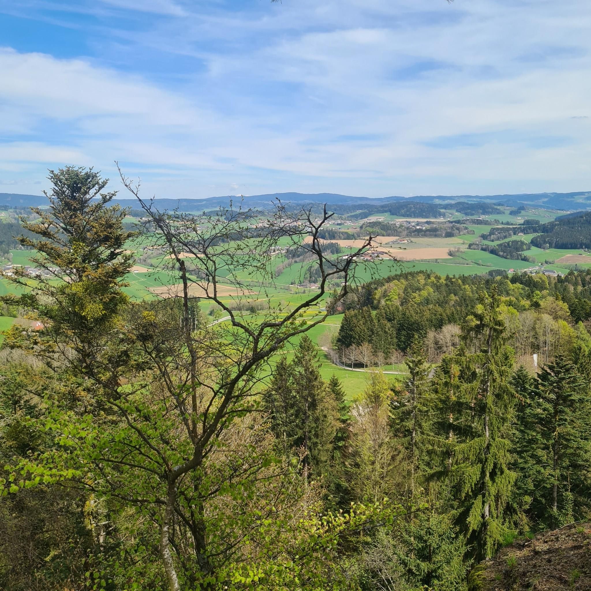
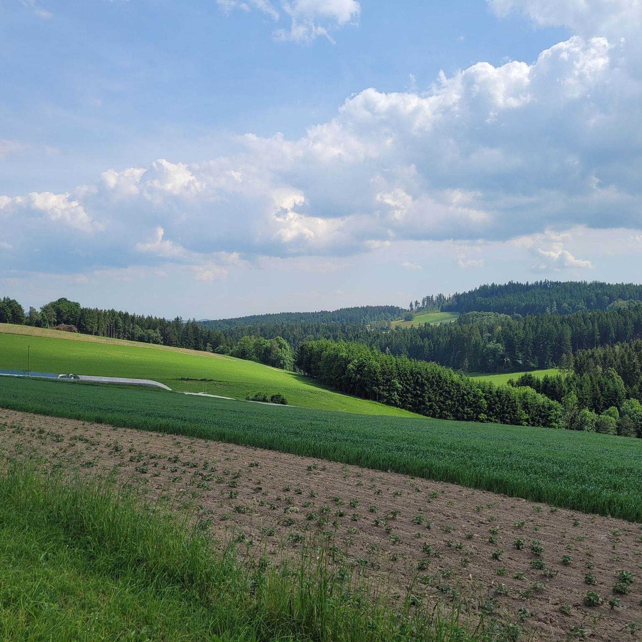
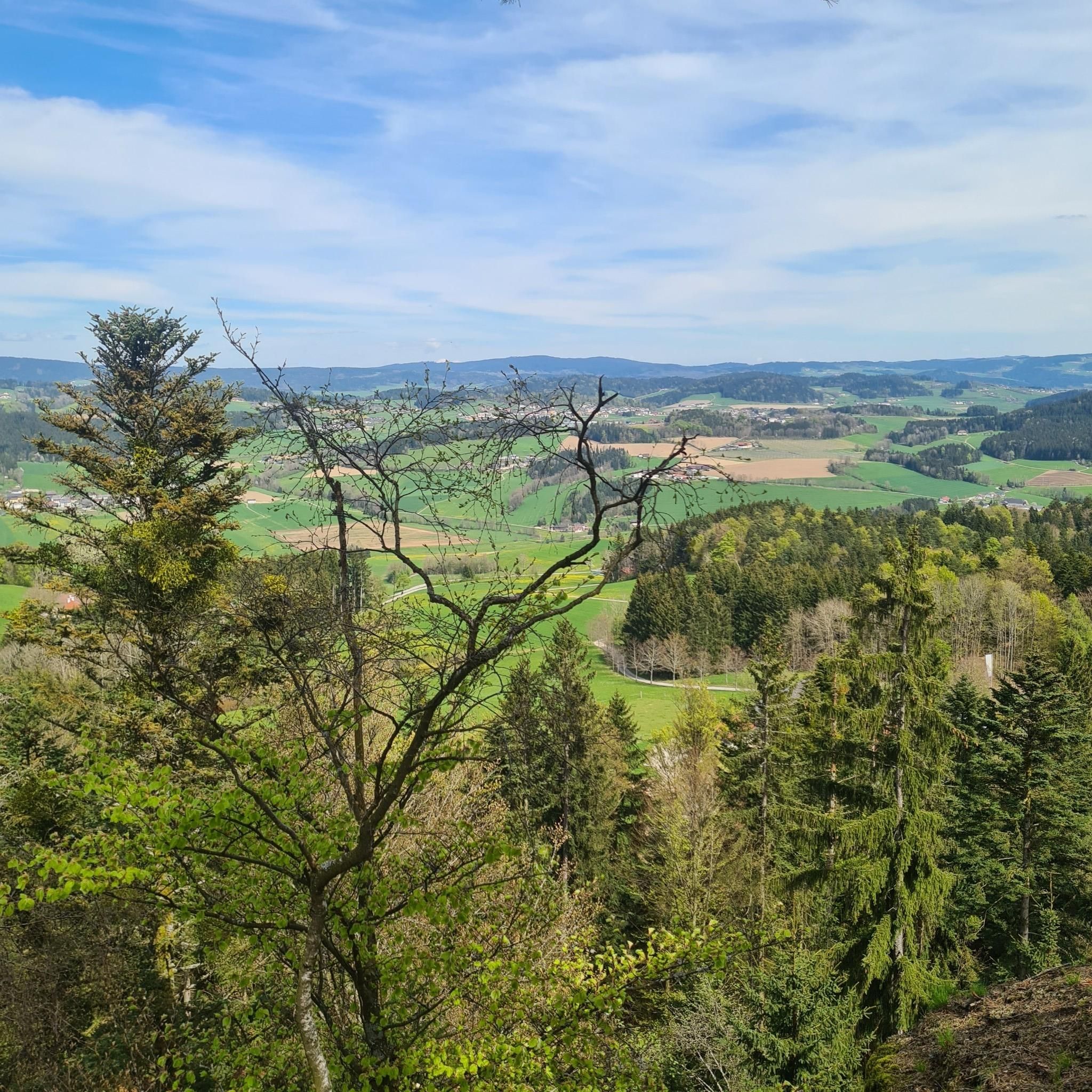
Road cycling routes around Sarleinsbach traverse a diverse landscape in the Upper Mühlviertel region of Austria. The area features approximately 35% forest and 58% farmland, providing varied scenery for cyclists. Hilly terrain characterizes the region, with elevations rising to 941 meters at Ameisberg. The Danube River also influences the landscape, offering routes along its distinctive bends.
Best road cycling routes around Sarleinsbach
- The most popular road cycling route is View of the Neufelden Reservoir – Neufelden Market Square loop from…
Last updated: October 29, 2026
5.0
(2)
41
riders
41.2km
02:06
670m
670m
Moderate road ride. Good fitness required. Mostly well-paved surfaces and easy to ride.
20
riders
62.2km
03:19
1,160m
1,160m
Hard road ride. Very good fitness required. Mostly well-paved surfaces and easy to ride.

21
riders
Hard road ride. Very good fitness required. Mostly well-paved surfaces and easy to ride.
18
riders
30.0km
01:34
540m
540m
Moderate road ride. Good fitness required. Mostly well-paved surfaces and easy to ride.
9
riders
Moderate road ride. Good fitness required. Some segments of this route may be unpaved and difficult to ride.
Get access to more routes and recommendations from other explorers.
Already have an account?
Our route recommendations are based on thousands of hikes, rides, and runs completed by other people on komoot.
Start today with a free account
Your next adventure awaits.

Tips from the Community

Untermühl is a picturesque hamlet in Upper Austria and belongs to the market town of Sankt Martin im Mühlkreis in the Rohrbach district.
1
0
Neuhaus Castle (Burg Neuhaus or Schloss Neuhaus) in the Danube Valley is located in Upper Austria, precisely in the municipality of Sankt Martin im Mühlkreis. Positioned on a granite rock spur at an altitude of about 420 meters, it picturesquely dominates the Danube in the stretch between the famous Schlögen loop (Schlögener Schlinge) and the town of Aschach.
0
0

Very beautiful, intact ensemble of houses here!
1
0

Beautiful area, little car traffic
0
0

The Hubertushof, a culinary stop. Traditional cuisine with a modern twist, beers from Schlägl Abbey, and herbs from the garden. Comfortable rooms are available for those who wish to stay. www.hubertushof-peilstein.at
0
0


View of the Danube from Neuhaus Castle
3
0
Frequently Asked Questions
How many road cycling routes are available around Sarleinsbach?
There are 10 road cycling routes around Sarleinsbach, offering a variety of experiences for cyclists. These routes are rated by the komoot community with an average score of 4.7 stars.
What kind of terrain can I expect when road cycling in Sarleinsbach?
Sarleinsbach is characterized by hilly terrain, with elevations rising to 941 meters at Ameisberg. You'll cycle through a diverse landscape of approximately 35% forest and 58% farmland, with the Danube River influencing many routes, offering scenic views along its distinctive bends.
Are there road cycling routes suitable for beginners or those looking for an easier ride?
While Sarleinsbach's terrain is generally hilly, there are 7 moderate routes available. These paths offer a varied cycling experience without the extreme challenges of the more difficult ascents. For example, the Bruckwirt – Sarleinsbach Timeline loop from Sarleinsbach is a moderate 18.8-mile path.
What are some scenic viewpoints or natural attractions I can see along the road cycling routes?
Many routes offer stunning views. You can experience the expansive views of the Danube and its distinctive bends at the Steinerberg Danube Loop. The Ameisberg Tower, located on the 941-meter-high Ameisberg, also provides panoramic vistas of the surrounding landscape. Additionally, the Ranna Reservoir Dam is an impressive sight with a walkable crown and picturesque views towards Oberkappel.
Are there any long-distance road cycling options in the Sarleinsbach area?
Yes, for those seeking longer rides, the region is home to sections of the renowned Danube Bike Trail EuroVelo 6, which is an excellent, car-free route following the Danube's horseshoe bend. Within Sarleinsbach, the View of the Neufelden Reservoir – Neufelden Market Square loop from Sarleinsbach is a challenging 38.6-mile route that takes approximately 3 hours 19 minutes to complete.
What is the best time of year for road cycling in Sarleinsbach?
The Upper Mühlviertel region, including Sarleinsbach, is generally best for road cycling during the warmer months, typically from spring through early autumn. This period offers more favorable weather conditions for enjoying the diverse landscapes and hilly terrain.
Are there any circular road cycling routes available?
Yes, many of the road cycling routes around Sarleinsbach are designed as loops, allowing you to start and finish in the same location. Examples include the Bruckwirt – Sarleinsbach Timeline loop from Sarleinsbach and the Sarleinsbach Timeline – Mistlberg Hairpin loop from Sarleinsbach.
What do other road cyclists enjoy most about road cycling in Sarleinsbach?
The komoot community highly rates the road cycling experience in Sarleinsbach, with an average score of 4.7 stars from over 100 reviews. Cyclists often praise the varied terrain, which includes dense forests and agricultural land, and the scenic views, particularly those along the Danube River.
Is there parking available for cyclists in Sarleinsbach?
Sarleinsbach is well-equipped for visitors, and you can typically find parking in the town center or near popular starting points for routes. It's often recommended to leave the car behind for a true cycling experience, but parking options are available for those who need them.
Are there places to stop for food or drinks along the road cycling routes?
The region offers various opportunities for refreshment. Sarleinsbach itself has cafes, pubs, and restaurants. Many routes pass through or near smaller villages where you can find local eateries. For instance, the Panoramacafe Bauer – Niederkappel loop from Sarleinsbach suggests a route that includes a cafe stop.
Can I find accommodation suitable for cyclists in Sarleinsbach?
Sarleinsbach and the surrounding Upper Mühlviertel region offer various accommodation options, from guesthouses to hotels, many of which cater to cyclists. It's advisable to check with individual establishments for specific amenities like secure bike storage.
What is the surface quality like on the road cycling trails in Sarleinsbach?
The road cycling routes in Sarleinsbach generally feature well-maintained asphalt surfaces, suitable for road bikes. The region's reputation, including its history as a stage for the 50th Upper Austria Junior Tour, indicates a commitment to quality cycling infrastructure.
Most popular routes around Sarleinsbach
Most popular attractions around Sarleinsbach

Get inspired with the komoot mobile app


Explore more
Browse the best Road cycling routes in other regions.
