The best walks and hikes around Sarmersbach
4.6
(173)
599
hikers
22
hikes
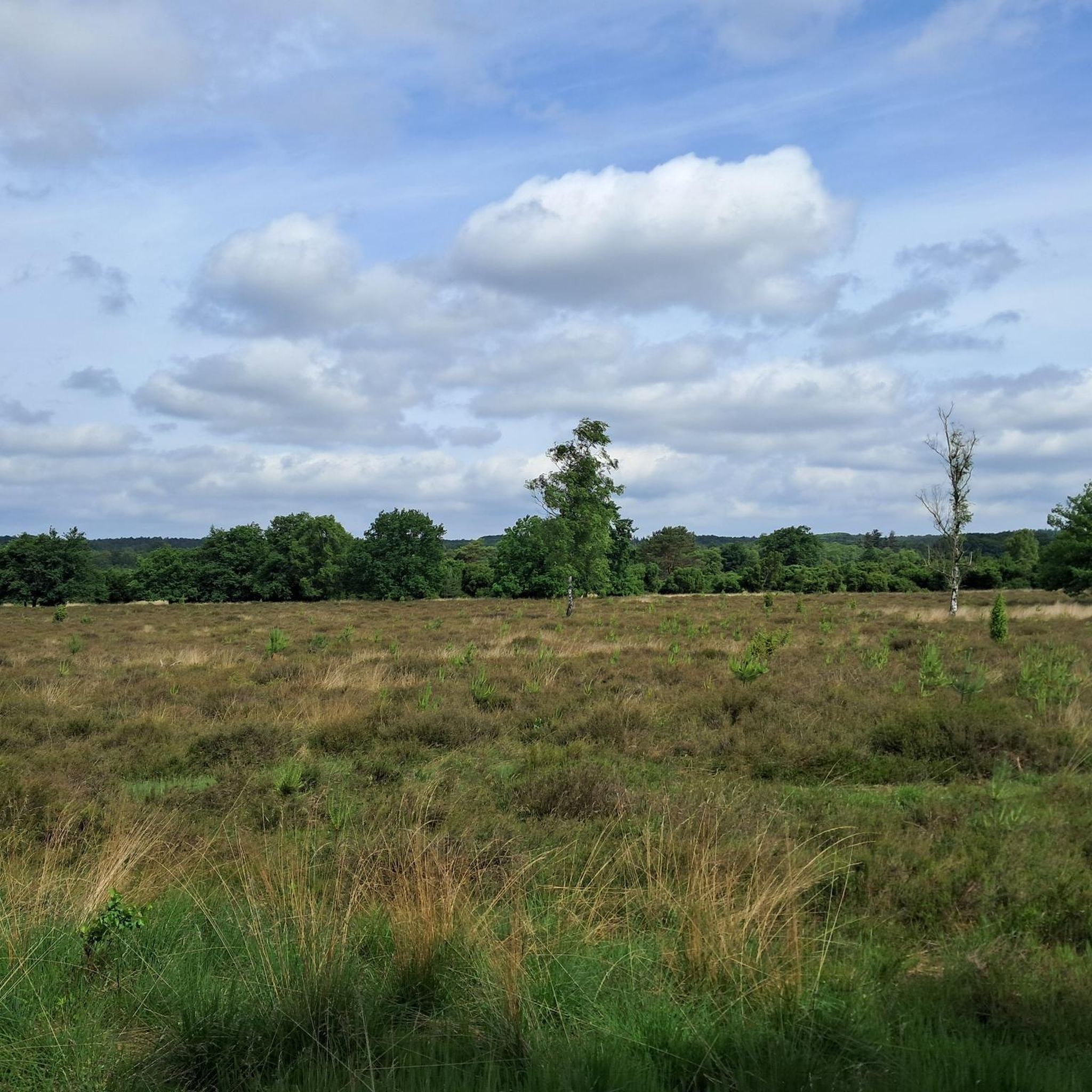
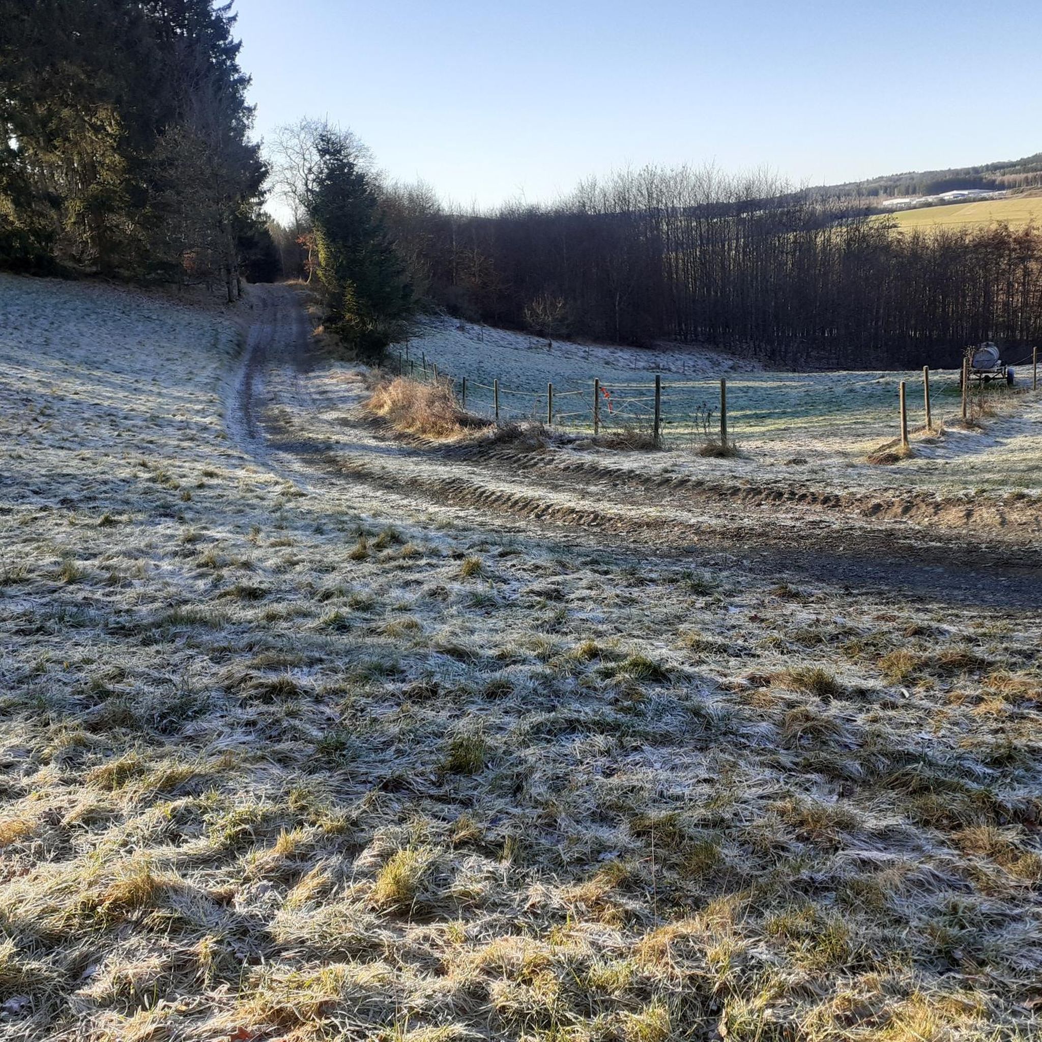
Hiking around Sarmersbach offers access to a network of trails within the Vulkaneifel region, characterized by its volcanic origins. The landscape features diverse natural settings, including dense forests, meadow valleys, and natural waters. This area is known for its Maare, which are volcanic crater lakes, contributing to the unique geological backdrop. The trails provide varied terrain for outdoor activities.
Best hiking trails around Sarmersbach
- The most popular hiking route is HeimatSpur Afelskreuzrunde – GesundLand Vulkaneifel, a 6.2 miles (10.0…
Last updated: July 5, 2026
4.5
(44)
149
hikers
9.98km
02:46
170m
170m
Moderate hike. Good fitness required. Easily-accessible paths. Suitable for all skill levels.
4.8
(37)
128
hikers
8.80km
02:26
150m
150m
Moderate hike. Good fitness required. Easily-accessible paths. Suitable for all skill levels.

Sign up for free
4.4
(38)
99
hikers
12.2km
03:18
170m
170m
Moderate hike. Good fitness required. Easily-accessible paths. Suitable for all skill levels.
4.8
(20)
74
hikers
15.9km
04:18
220m
220m
Moderate hike. Good fitness required. Easily-accessible paths. Suitable for all skill levels.
4.8
(8)
19
hikers
8.60km
02:21
130m
130m
Moderate hike. Good fitness required. Easily-accessible paths. Suitable for all skill levels.
Get access to more routes and recommendations from other explorers.
Sign up for free
Already have an account?
Our route recommendations are based on thousands of hikes, rides, and runs completed by other people on komoot.
Start today with a free account
Your next adventure awaits.
Login or Signup


Tips from the Community


A comfortable bench with a beautiful view—we enjoyed taking a chat break here early in the morning and enjoying the morning atmosphere!
1
0

The Afelskreuz (indulgence cross, mistakenly interpreted as the "Eifel Cross") stands on an old Roman military road. For centuries, pilgrims from the Bonn-Cologne region have traveled this route to the grave of the Apostle Saint Matthias in Trier. This path is therefore also popularly known as the Pilgrim's Route. Another name is the "Piglet Route," because farmers and traders drove their cattle along the Afelskreuz to the markets in Kelberg and Mehren until the 1830s. It is noteworthy that the cities of Trier and Cologne are equidistant from the Afelskreuz (Afelskreuz), some 90 kilometers away. The Romans already established a well-developed network of paths, which can still be seen today. Hörschhausen was a junction of several Roman-era paths and roads. There was also a path from Hörschhausen to Bongard, which crossed the main road between Uess and Lieser at the Afelskreuz.
6
0

A must for creative photos and a broad perspective
1
0
In addition to benches and a table, the rest area also has a sun lounger where you can soak up some sun even on a winter's day (if it shines). There is also a lovely view, so it's a great place to take a break.
0
0

A small herd of donkeys lives in this pasture. The donkeys come curiously to the fence when you walk past.
0
0
At this viewing point you will also find a wooden lounger where you can relax.
0
0
The rest area is really beautifully and lovingly laid out - only there is no trash can here, which unfortunately contributes to the pollution. It's funny that some people just throw everything into nature - when such beautiful natural areas have been created along the Lieser.
0
0
Frequently Asked Questions
How many hiking trails are available around Sarmersbach?
Sarmersbach offers a network of over 20 hiking trails, with options ranging from easy strolls to more moderate hikes. The area is known for its well-maintained paths within the unique Vulkaneifel region.
Are there any circular hiking routes in Sarmersbach?
Yes, Sarmersbach is particularly known for its circular routes, including several 'HeimatSpuren' trails. These typically range from 8.5 km to 16 km, offering varied experiences through the Vulkaneifel landscape. Examples include the HeimatSpur Kleelandrunde and the longer HeimatSpur Struthrundweg.
What kind of landscapes can I expect to see while hiking in Sarmersbach?
The hiking trails in Sarmersbach wind through diverse and scenic landscapes shaped by the region's volcanic origins. You'll encounter dense forests, picturesque meadow valleys, natural waters, and forest edges. A distinctive feature is the presence of Maare, which are volcanic crater lakes, often providing stunning views.
Are there any family-friendly hiking options in Sarmersbach?
Many of the trails around Sarmersbach are suitable for families, with 15 out of 22 routes classified as easy. These paths often lead through gentle terrain and offer opportunities to enjoy nature. The interconnected trail system also allows for customizing shorter, more manageable walks.
What are some notable natural attractions or viewpoints along the trails?
Hikers can discover several natural attractions and viewpoints. The Dronke Tower on the Mäuseberg offers wonderful panoramic views over the Maare. You can also find scenic spots like the View of the Gemündener Maar, known for its beauty and recreational opportunities.
Can I bring my dog on the hiking trails in Sarmersbach?
Generally, the hiking trails in Sarmersbach are dog-friendly, allowing you to explore the natural beauty with your canine companion. It's always recommended to keep dogs on a leash, especially in nature reserves or near wildlife, and to respect local regulations.
Are there places to eat or get refreshments near the hiking routes?
Yes, Sarmersbach offers options for refreshments. An organic farm shop in the village provides organic products, local cheese, coffee, cake, cold drinks, and ice cream. It features a terrace for summer and a fireplace for winter, making it a pleasant stop after a hike.
What do other hikers enjoy most about hiking in Sarmersbach?
The area is highly rated by the komoot community, with an average score of 4.6 stars from more than 150 reviews. Hikers frequently praise the well-maintained trails, the unique volcanic landscape, and the diverse natural settings, including forests and Maare, that make for engaging and scenic experiences.
Are there any historical landmarks or castles to see while hiking?
While hiking around Sarmersbach, you can discover historical elements. The region features several castle ruins and viewpoints offering glimpses of historical sites. For example, you might find views of Freudenkoppe Castle Ruins or the Upper Castle of Ulmen, adding a historical dimension to your outdoor adventure.
How long do the typical hiking routes in Sarmersbach take to complete?
The circular routes in Sarmersbach typically range from 8.5 km to 16 km. Shorter routes can be completed in approximately 3 hours, while longer ones, such as the HeimatSpur Afelskreuzrunde (10 km), take around 2 hours 45 minutes, depending on your pace and stops.
Is there parking available for hikers in Sarmersbach?
Yes, Sarmersbach is well-equipped for visitors, and parking facilities are generally available near the trailheads or within the village, making it convenient for hikers to access the extensive network of paths.
Can I combine hiking with cycling in the Sarmersbach area?
Absolutely. In addition to hiking, a 26 km cycling route is available, partially integrated with the hiking trails. This allows for a diverse outdoor experience, catering to those who wish to explore the Vulkaneifel region on two wheels as well.
Most popular routes around Sarmersbach
Most popular attractions around Sarmersbach

Get inspired with the komoot mobile app


Explore more
Browse the best Hikes in other regions.
