The best mountain hikes around Ragalna
4.7
(12)
110
hikers
8
hikes
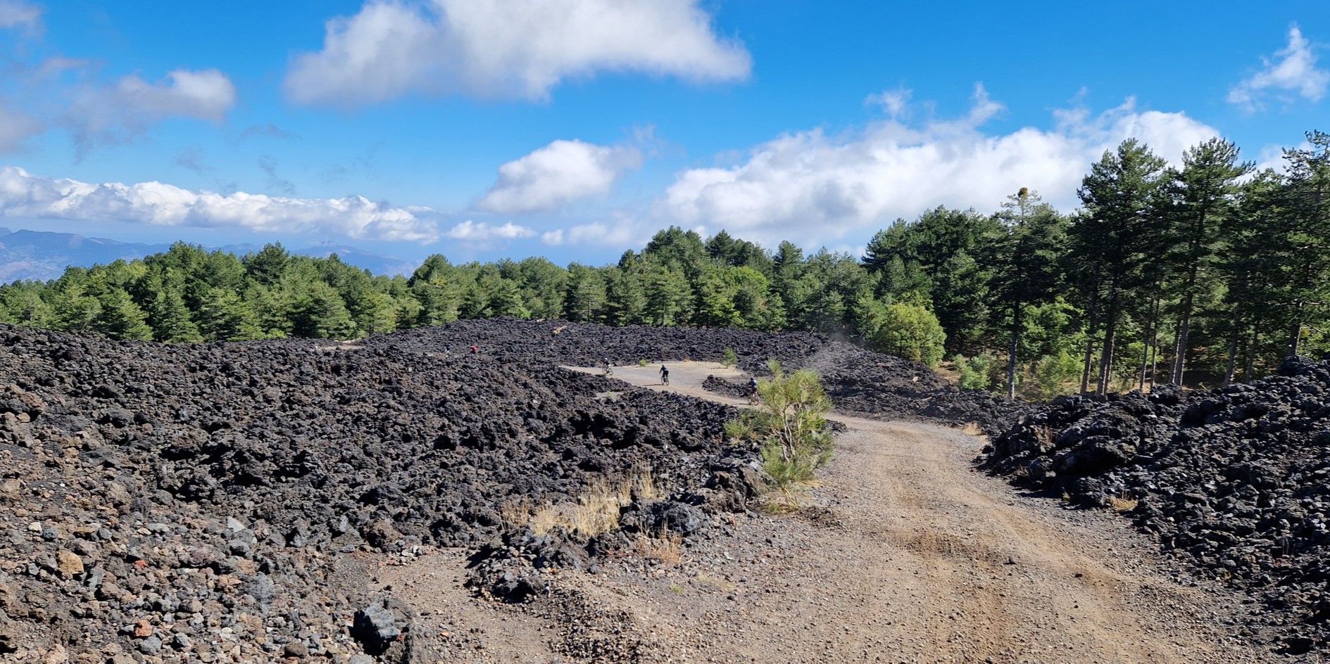
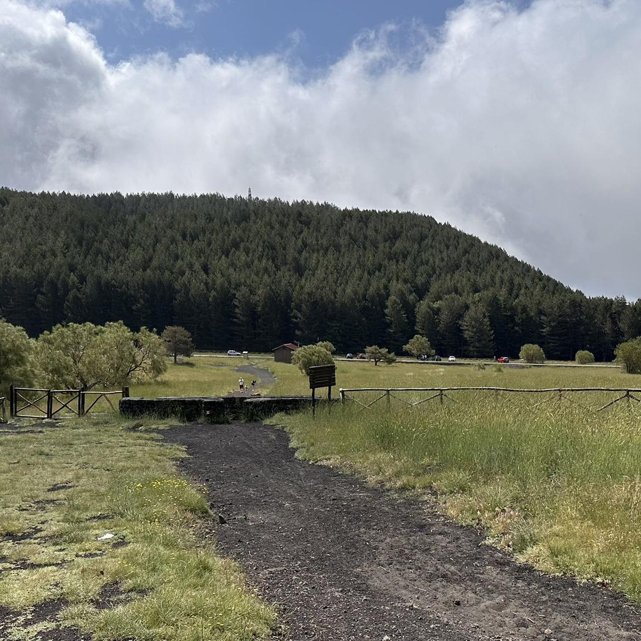
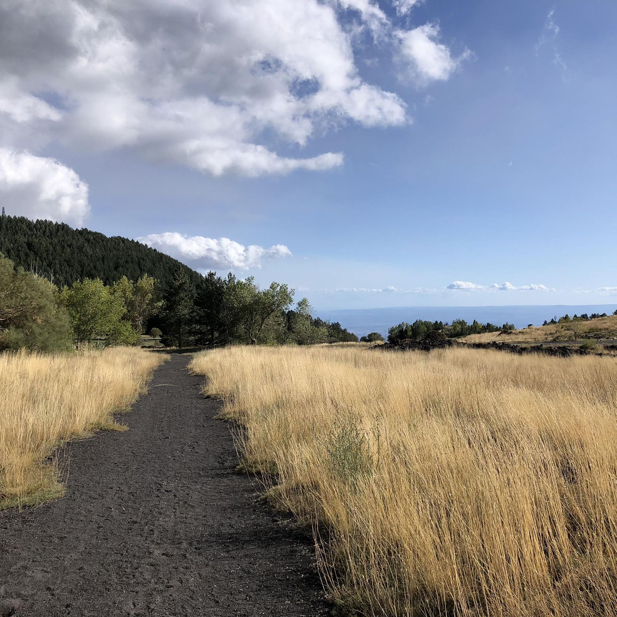
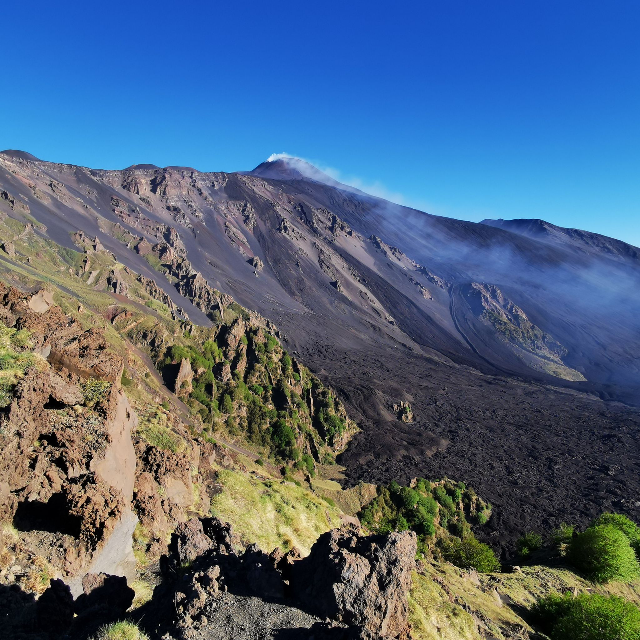
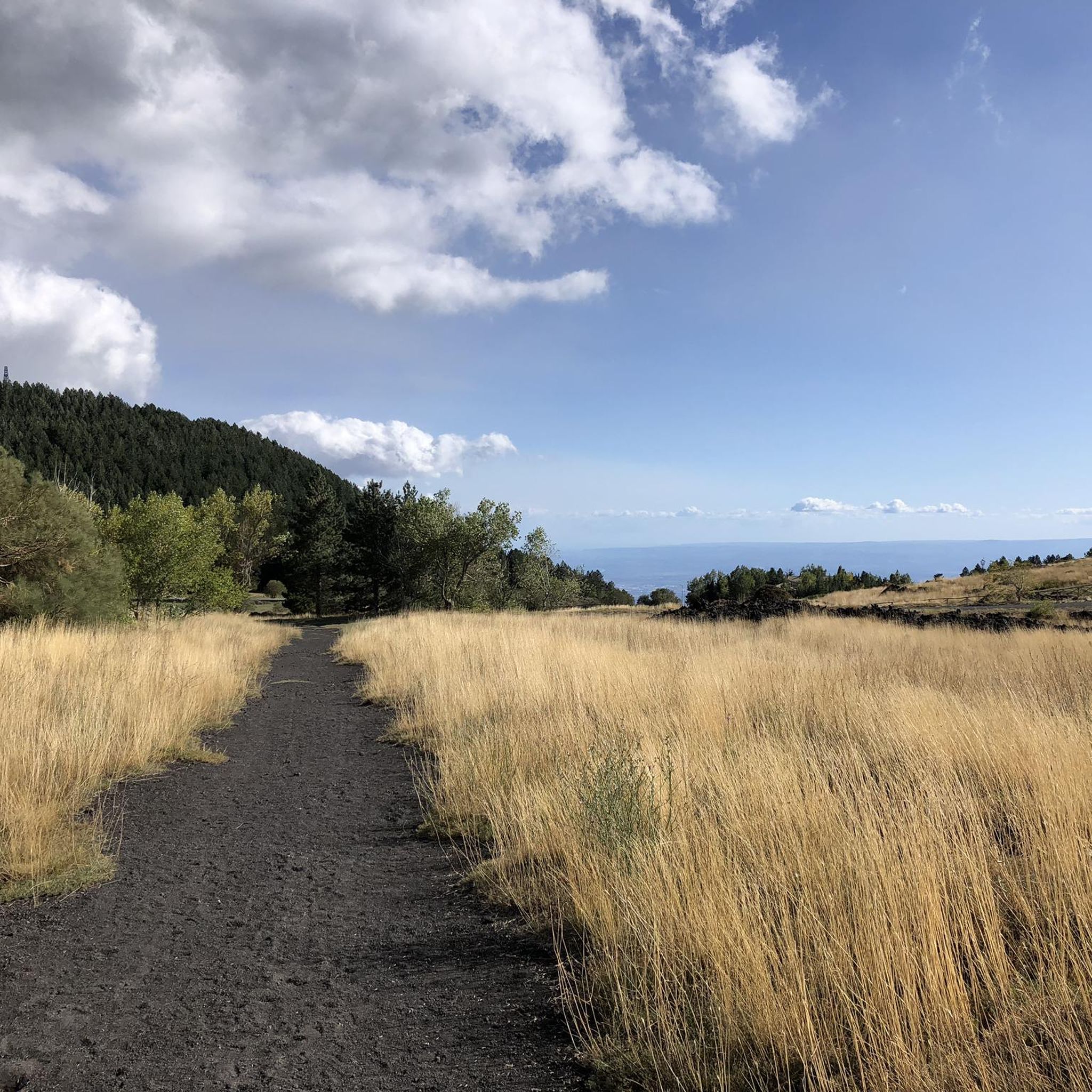
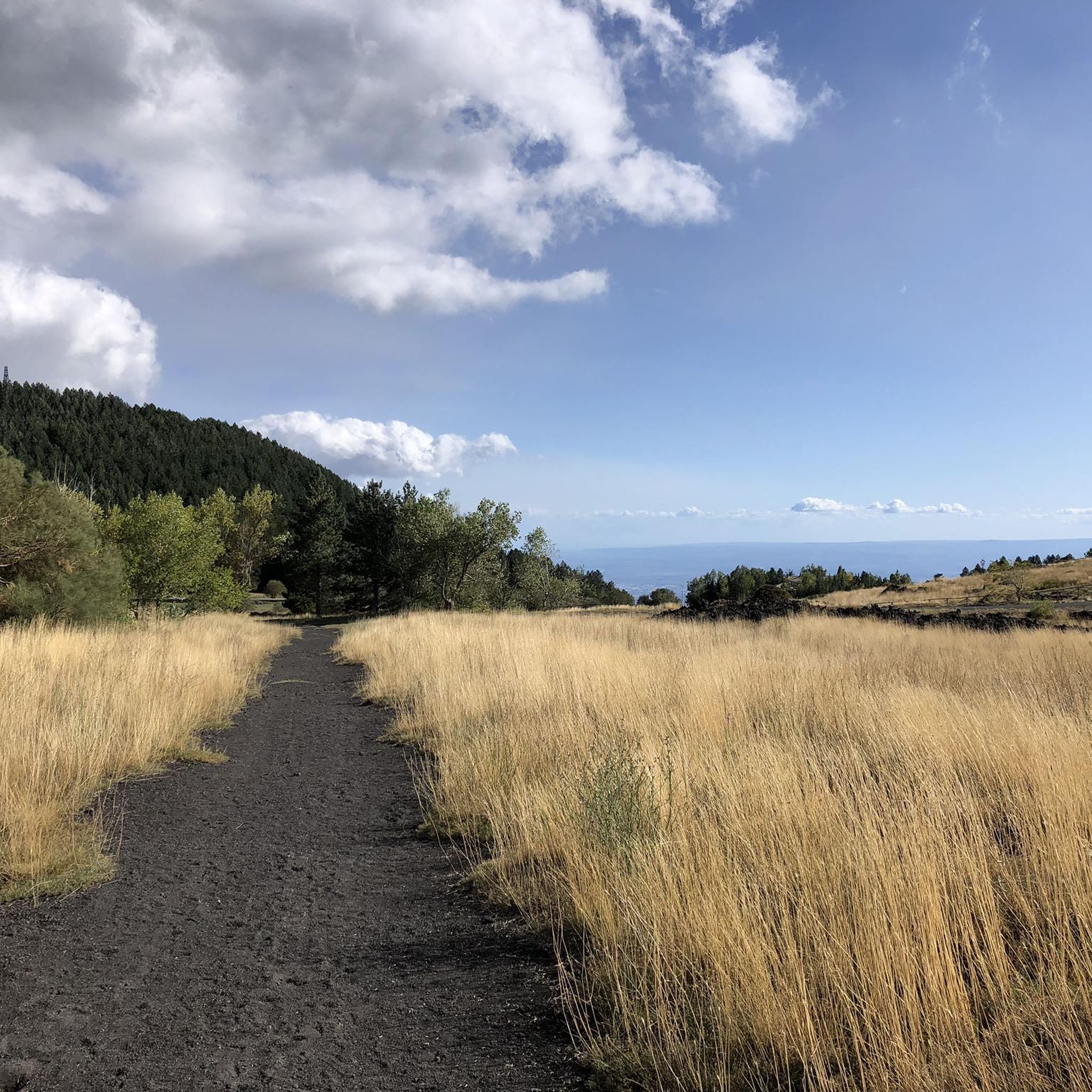
Mountaineering around Ragalna offers direct access to the southern slopes of Mount Etna, Europe's highest and most active volcano. The region is characterized by unique volcanic landscapes, extensive lava fields, and diverse vegetation including pine, oak, and walnut groves. Ash cones like Monti Sartorius provide additional varied terrain. This area presents a striking interplay of colors between volcanic ground and emerging plant life, making it a distinctive destination for outdoor activities.
Best mountaineering routes around Ragalna
- The most popular mountaineering…
Last updated: July 5, 2026
5.0
(5)
46
hikers
12.9km
05:17
1,040m
1,040m
Hard mountaineering route. Very good fitness required. Easily-accessible paths. Suitable for all skill levels.
4.5
(2)
21
hikers
9.62km
03:32
640m
640m
Moderate mountaineering route. Good fitness required. Easily-accessible paths. Suitable for all skill levels.

Sign up for free
6
hikers
3.37km
01:24
170m
160m
Moderate mountaineering route. Great for any fitness level. Mostly accessible paths. Sure-footedness required.
7
hikers
20.7km
08:04
1,300m
1,300m
Hard mountaineering route. Very good fitness required. Sure-footedness, sturdy shoes and alpine experience required.
3
hikers
Hard mountaineering route. Good fitness required. Sure-footedness, sturdy shoes and alpine experience required.
Get access to more routes and recommendations from other explorers.
Sign up for free
Already have an account?
Our route recommendations are based on thousands of hikes, rides, and runs completed by other people on komoot.
Start today with a free account
Your next adventure awaits.
Login or Signup
Other adventures around Ragalna

Tips from the Community

Impressive volcano, inspiring landscape.
0
0

The cable car alone currently costs €52 for an adult and €30 for children. Various packages are available that include guided tours. Alternatively, you can hike up below the cable car. It's steep, but only a 500-meter climb.
1
0

Climbing Cratere Piano del Lago is possible for everyone, although strenuous. Small lava stones pull you downwards with every step, so I felt like I had climbed the mountain twice.
0
0

Only recommended with a guide, as the terrain is constantly changing.
0
0

Well worth the trip and cable cart; although you can also climb upwards.
0
0

A completely different world! A must-see, even if the price of 80 euros is extremely high! For 80 euros, you can get to an altitude of 3,000 meters, including the cable car, bus, and guided hike!
1
0

Even in bad weather or under dark clouds, the trip up is worthwhile. The cable car takes you up to 1,900 meters. By the time we reached the top, the clouds had almost disappeared due to the wind.
2
0

One of the most beautiful lava tunnels on the north side of Mount Etna is the Serracozzo Grotto (surely often visited, but not signposted). A lava tunnel is not a cave, but rather one formed during an eruption, when a crust forms on the surface of the slowly flowing lava in flatter terrain. This "tunnel" is easy to enter (assuming there's no threat of a thunderstorm (flooding!) or ice and snow making entry dangerous). Don't forget your flashlight; two cave-ins in the ceiling provide sufficient light until halfway through the tunnel, after which it becomes very shallow and pitch-dark in places. It's worth exploring!
0
0
Frequently Asked Questions
How many mountaineering routes are available around Ragalna?
There are over a dozen mountaineering routes around Ragalna, offering a range of experiences from moderate to difficult. The area is particularly known for its challenging ascents on Mount Etna.
Are there any moderate mountaineering routes suitable for those with less experience?
Yes, while many routes are challenging, there are moderate options. For example, the Serracozzo Lava Tube loop from Monte Concazza is a moderate 5.8 km path that explores unique volcanic terrain. Another moderate choice is the Citelli Refuge – Serracozzo Cave loop from Monte Concazza, which is about 3.3 km long.
What are some of the more challenging mountaineering routes in the area?
Ragalna is renowned for its difficult mountaineering routes, especially those leading to Mount Etna's summit craters. A challenging option is the Viewpoint Etna – Summit Craters of Mount Etna loop from Guided Tours, an 8.5 km trail with significant elevation gain.
Are there any circular mountaineering routes around Ragalna?
Yes, many routes in the region are circular, allowing you to start and end at the same point. Examples include the Serracozzo Lava Tube loop from Monte Concazza and the Citelli Refuge – Serracozzo Cave loop from Monte Concazza. These loops offer diverse scenery without retracing your steps.
What kind of natural features or landmarks can I expect to see on these routes?
Mountaineering around Ragalna offers a unique volcanic landscape. You'll encounter extensive lava fields, ash cones like Monti Sartorius, and diverse vegetation including pine, oak, and walnut groves. Many routes provide views of the Summit Craters of Mount Etna and other volcanic formations such as the Silvestri Inferior Craters.
What is the best time of year for mountaineering in Ragalna?
The region is accessible for mountaineering for much of the year. While the higher altitudes of Etna can experience winter conditions, the lower slopes around Ragalna, particularly those covered in vegetation, are popular even in hotter summers. Spring and autumn generally offer pleasant temperatures and clear views for exploring the volcanic landscapes and diverse flora.
Are there opportunities for wildlife spotting on the trails?
The Etna Natural Park, which surrounds Ragalna, boasts rich vegetation including olive, almond, pistachio, and citrus fruit trees, as well as white-broom. This diverse ecosystem supports various local wildlife, though specific sightings can vary. Keep an eye out for birds and smaller mammals that inhabit the pine, oak, and walnut groves.
What do other mountaineers enjoy most about the routes around Ragalna?
The routes around Ragalna are highly rated by the komoot community, with an average score of 4.7 stars. Reviewers often praise the unique volcanic landscapes, the unforgettable views from Mount Etna's craters, and the striking contrast between the volcanic ground and emerging vegetation.
Are there any places to get refreshments or food after a mountaineering trip?
Ragalna itself is a charming village, and mountain huts like Rifugio Sapienza and Rifugio Citelli serve as popular starting points or resting spots for excursions on Etna, often offering refreshments. The area also has various tours that combine exploring Etna with local food and wine tasting, suggesting local eateries are available.
What kind of gear should I bring for mountaineering in Ragalna?
Given the volcanic and often challenging terrain, good hiking boots with ankle support are essential. Layers of clothing are recommended due to changing weather conditions, especially at higher altitudes. For summit expeditions, specialized gear might be required, and it's always wise to carry water, snacks, sun protection, and a map or GPS device.
Are there any less crowded alternatives to the main Etna summit routes?
While the summit craters are a major draw, you can explore other areas to avoid crowds. The Monti Sartorius ash cones offer a network of trails with great views towards the sea and Taormina, and are often less frequented than the direct summit paths. The Serra La Neve area, with features like the grotto of St. Barbara, also provides natural beauty away from the busiest spots.
Can I reach the trailheads using public transport or guided tours?
While specific public transport details for all trailheads are not provided, guided treks to Mount Etna's summit often involve cable car ascents and 4x4 vehicles to reach higher altitudes, which can serve as a form of transport to the starting points of many routes. Various volcano tours are also available, including jeep tours, which can facilitate access.
Most popular attractions around Ragalna

Get inspired with the komoot mobile app


Explore more
Browse the best Mountain Hikes & Routes in other regions.
