The best running trails around Roccavaldina
5.0
(1)
154
runners
11
runs
Jogging around Roccavaldina offers routes through a hilly landscape within the Peloritani Mountains of northeastern Sicily. The village is situated at an elevation of approximately 320 to 420 meters, providing varied terrain for running. Joggers can experience both challenging inclines and panoramic views of the northern Sicilian coast and the Gulf of Milazzo. The historic center also provides a unique urban jogging experience through its narrow streets and medieval architecture.
Best jogging routes around Roccavaldina
- The most popular jogging route is Puntale Bandiera – loop from Monforte San Giorgio, an 18.5 miles (29.7 km) trail that takes 3 hours 55 minutes to complete. This difficult route offers significant elevation gain through mountainous terrain.
- Another top favourite among local runners is Castello di Spadafora loop from Venetico, a moderate 5.9 miles (9.5 km) path. This route can be completed in about 1 hour and features a relatively flat profile.
- Local runners also love the Pizzo Impegna – Dinnammare loop from Badiazza, a 16.1 miles (25.9 km) trail leading through the Peloritani Mountains, often completed in about 3 hours 21 minutes.
- Jogging around Roccavaldina is defined by hilly terrain, panoramic views, and historic village streets. The network offers options for different ability levels, from moderate paths to more challenging mountain trails.
- The guide includes highly-rated routes that showcase the best of the region's landscape. More than 50 runners have used komoot to explore Roccavaldina's varied terrain.
Last updated: July 5, 2026
29.7km
03:56
1,200m
1,200m
Hard run. Very good fitness required. Sure-footedness, sturdy shoes and alpine experience required.
41
runners
11.6km
01:12
40m
40m
Moderate run. Good fitness required. Mostly paved surfaces. Suitable for all skill levels.

Sign up for free
5.0
(1)
35
runners
15.4km
01:35
40m
40m
Hard run. Very good fitness required. Mostly paved surfaces. Suitable for all skill levels.
28
runners
16.0km
01:45
60m
60m
Hard run. Very good fitness required. Mostly paved surfaces. Suitable for all skill levels.
19
runners
7.89km
00:49
20m
20m
Moderate run. Good fitness required. Mostly paved surfaces. Suitable for all skill levels.
Get access to more routes and recommendations from other explorers.
Sign up for free
Already have an account?
Our route recommendations are based on thousands of hikes, rides, and runs completed by other people on komoot.
Start today with a free account
Your next adventure awaits.
Login or Signup
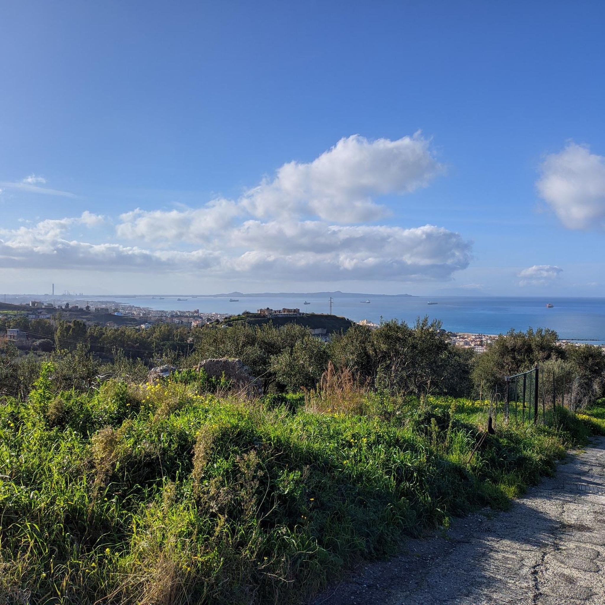
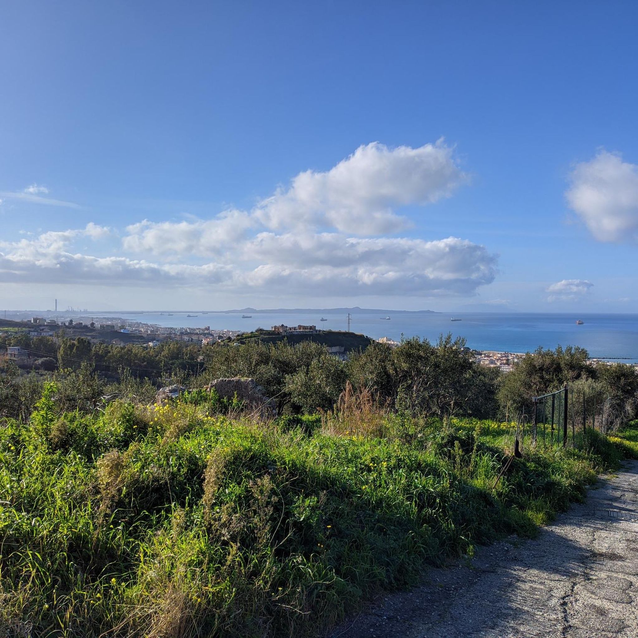
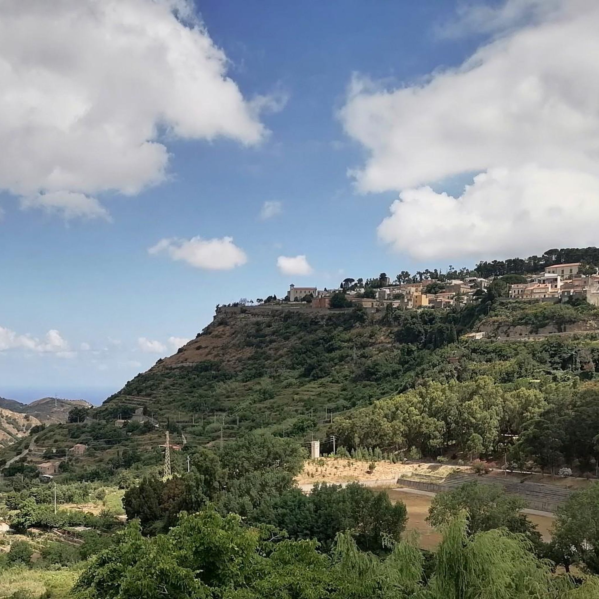
Tips from the Community

Spadafora Castle, or Samonà Castle, is an imposing fortification built in the late 16th century around a medieval tower. It served as a noble residence, but also as a base for coastal control. Today, it belongs to the Sicilian Region and is open to visitors.
0
0

old military road with little gradient. Very easy to walk.
1
0

Wonderful bivouacs overlooking the Strait of Messina. However, I advise you not to pitch tents on the plateau of the Forestry Watch Tower because (said by the forestry workers themselves) there is the danger of unexpected and very powerful lightning. For bivouacking there is, just below the Forest Tower, another smaller plateau, next to the access road to the plateau.
1
0

A wonderful panoramic point on the Ionian and Tyrrhenian side, the peak is located at an altitude of 1065 m, the view from here repays all the effort made to get there.
1
0
This path offers a wonderful view of the Ionian Sea, just stop to admire the view to be breathless by the great beauty.
2
0

Getting to the top of Puntale Bandiera (1065 m) allows a 360 degree view of the Ionian and Tyrrhenian sides. The terrace has a small area equipped for a rest sheltered from the sun. Panoramic point from which you can see the Aeolian Islands in conditions of good visibility and absence of haze.
3
0
Frequently Asked Questions
What kind of terrain can I expect when running around Roccavaldina?
Jogging routes in Roccavaldina are characterized by a hilly landscape within the Peloritani Mountains. You'll encounter varying inclines, from challenging ascents to more moderate paths. The village itself offers a unique urban running experience through its narrow, historic streets, while trails outside the village provide diverse mountainous terrain.
Are there running routes suitable for beginners or those looking for an easier run?
Yes, while Roccavaldina is known for its hilly terrain, there are options for less strenuous runs. For example, the Castello di Spadafora loop from Venetico is a moderate 9.5 km (5.9 miles) path with a relatively flat profile, which can be completed in about an hour. Another moderate option is the Running loop from Pace del Mela, which is 6.8 km (4.2 miles) long.
What are the best routes for experienced runners seeking a challenge?
For experienced runners, Roccavaldina offers several challenging routes with significant elevation gain. The Puntale Bandiera – loop from Monforte San Giorgio is a difficult 29.7 km (18.5 miles) trail, taking nearly four hours to complete. Another demanding option is the Pizzo Impegna – Dinnammare loop from Badiazza, a 25.9 km (16.1 miles) trail through the Peloritani Mountains.
Can I find running routes with scenic views in Roccavaldina?
Absolutely. Roccavaldina's elevated position within a natural amphitheater provides breathtaking panoramic views. Many routes offer impressive vistas of the northern Sicilian coast, the Gulf of Milazzo, the promontory of Tindari, and even the distant Aeolian Islands. The View of the Ionian is a specific highlight known for its scenic outlooks.
Are there any historical landmarks or attractions I can see while jogging?
Yes, Roccavaldina's rich history is integrated into its landscape. You can explore the village's historic center with its narrow streets and medieval architecture. Nearby attractions include the Forte Campone, and the Roccavaldina Castle, which offers historical interest and likely excellent views. The ancient Church of Our Lady of the Chain also provides impressive panoramas.
What do other runners say about the jogging routes in Roccavaldina?
Over 50 runners have used komoot to explore Roccavaldina's varied terrain. They often praise the region for its diverse options, from moderate paths to more challenging mountain trails, and the stunning panoramic views that accompany many of the runs.
Are there any loop trails for running in the Roccavaldina area?
Yes, several routes around Roccavaldina are designed as loops, allowing you to start and finish in the same location. Examples include the challenging Puntale Bandiera – loop from Monforte San Giorgio and the moderate Castello di Spadafora loop from Venetico.
How many running routes are available around Roccavaldina?
There are 5 dedicated running routes available around Roccavaldina, catering to various fitness levels from moderate to difficult, all offering a unique experience of the region's landscape.
What is the best time of year for outdoor activities like running in Roccavaldina?
While the guide doesn't specify, Roccavaldina's Mediterranean climate generally makes spring and autumn ideal for outdoor activities, offering milder temperatures compared to the heat of summer. Winter can also be pleasant, though some higher elevation trails might be cooler.
Are there any natural features to look out for on the running trails?
The region is part of the Peloritani Mountains, offering a beautiful, unspoilt natural environment. You'll encounter diverse mountainous terrain, and from various points, you can enjoy sweeping views of the two seas surrounding Sicily. The village itself is set in a natural amphitheater, contributing to its unique topography.
Where can I find more information about the historical aspects of Roccavaldina?
For a deeper dive into the history and picturesque atmosphere of Roccavaldina, you can visit viaggiando-italia.it, which provides insights into the village's medieval character and attractions.
Most popular attractions around Roccavaldina

Get inspired with the komoot mobile app


Explore more
Browse the best Running Trails & Routes in other regions.
