The best walks and hikes around Montegridolfo
4.2
(386)
1,993
hikers
114
hikes
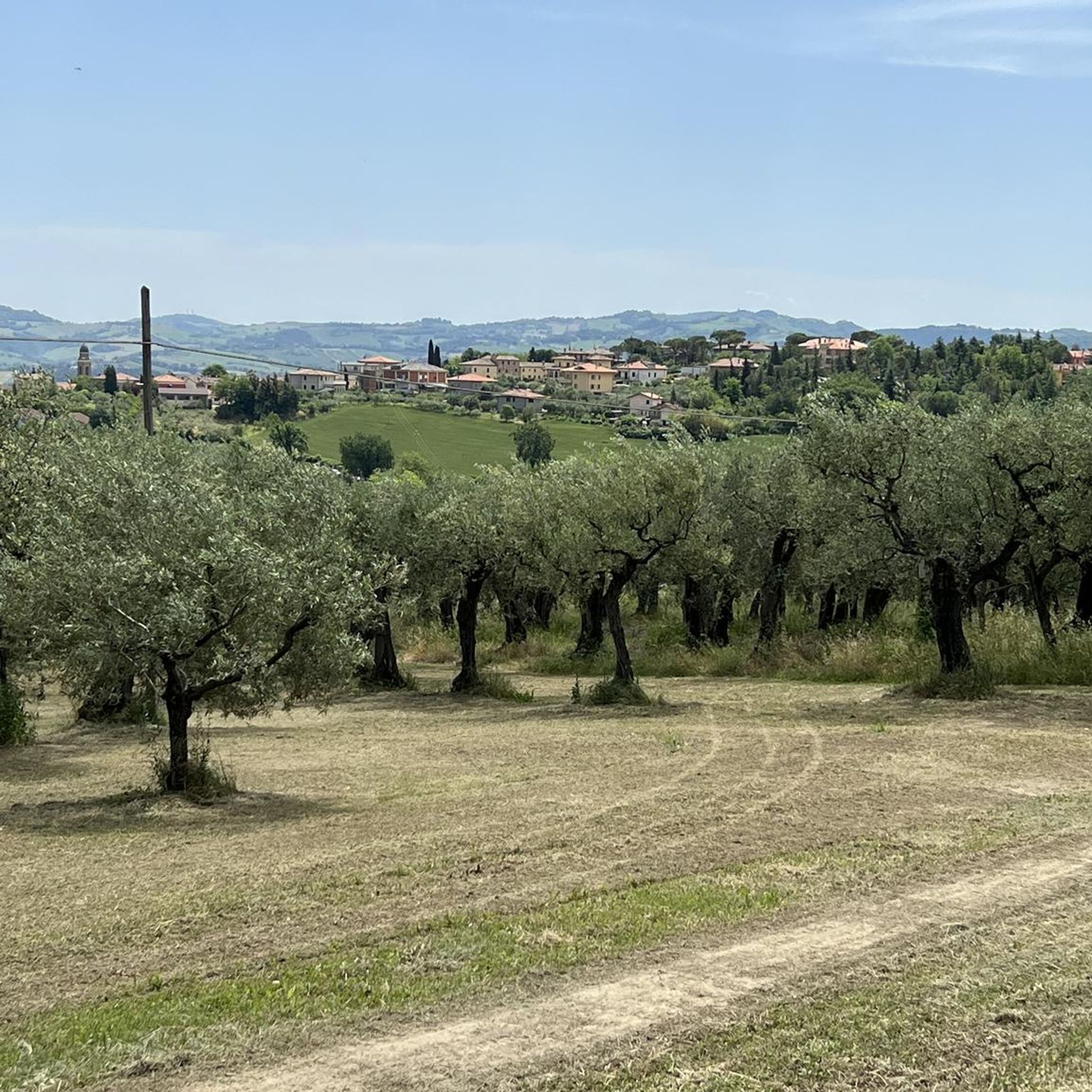
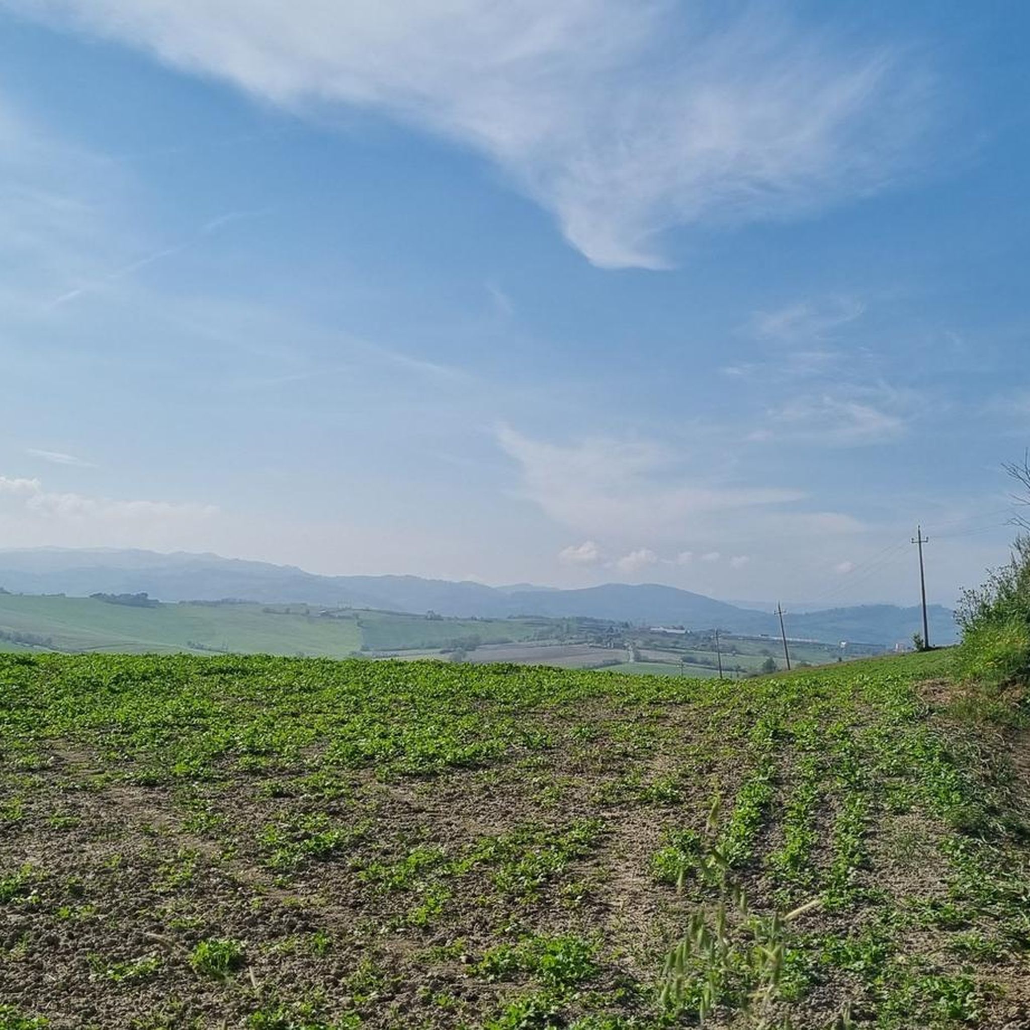
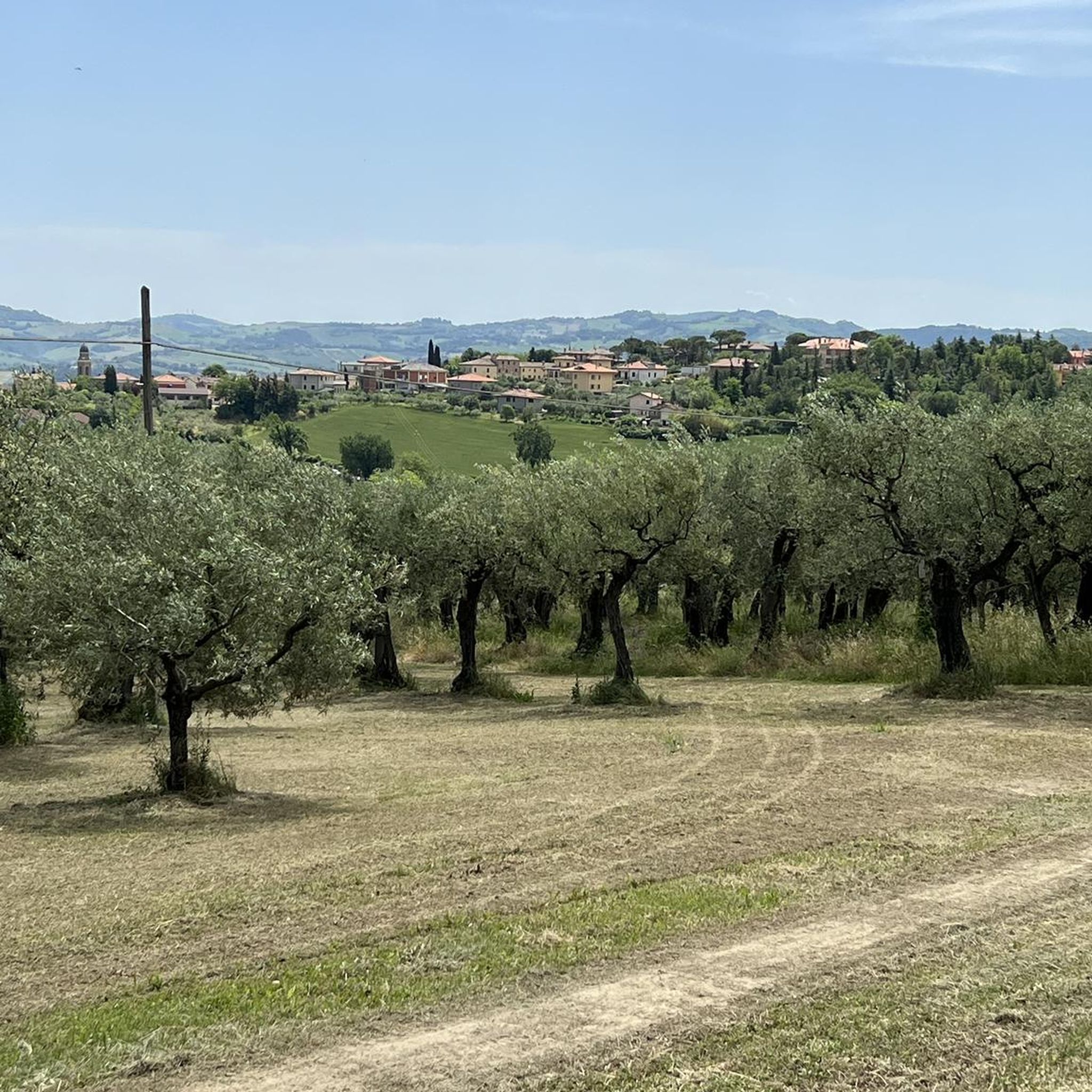
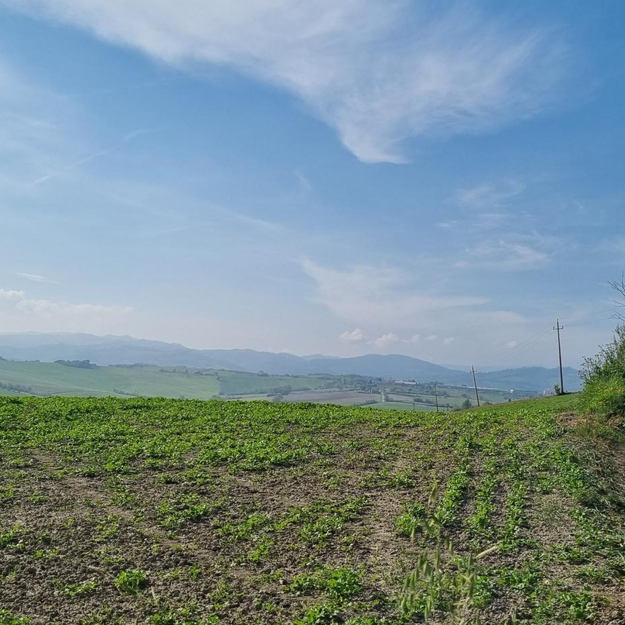
Hiking around Montegridolfo offers diverse landscapes characterized by gentle, green hills, olive groves, and vineyards, gradually sloping towards the Adriatic Sea. The region provides scenic vistas across the Conca Valley, dotted with historic structures and small villages. From Montegridolfo's medieval walls, panoramic views extend across the coast of Pesaro, Rimini, and the lower Foglia River valley. The area's natural beauty, including the castle hill, is recognized for its protected environment.
Best hiking trails around Montegridolfo
- The most popular hiking route is Towards the Church of Sant'Apollinare along the trails of the Alta Valconca – loop from Mondaino, a 7.8 miles (12.6 km) trail that takes 3 hours 49 minutes to complete. This moderate route features an elevation gain of almost 400 meters.
- Another top favourite among local hikers is In the countryside of Mondaino and San Teodoro – loop from Saludecio, a moderate 5.9 miles (9.5 km) path. This trail offers views of the countryside and takes approximately 2 hours 51 minutes.
- Local hikers also love the Mondaino – View of San Marino loop from Mondaino, a 7.8 miles (12.5 km) trail leading through varied terrain with views towards San Marino, often completed in about 3 hours 49 minutes.
- Hiking around Montegridolfo is defined by rolling hills, olive groves, and panoramic views of the Adriatic coast and surrounding valleys. The network offers options for different ability levels, from easy paths to more challenging routes.
- The routes in Montegridolfo are highly rated by the komoot community with an average score of 4.3 stars from more than 300 reviews. More than 1600 hikers have used komoot to explore Montegridolfo's varied terrain.
Last updated: October 3, 2026
3.7
(9)
19
hikers
This moderate 7.8-mile (12.6 km) hike takes you through the Alta Valconca countryside, offering expansive views that stretch from Rimini all the way to the sea. You'll gain about 1297 feet (395 metres) in elevation over approximately 3 hours and 48 minutes, traversing a mix of meadows, fields, valleys, and forests. The path combines paved roads, unpaved sections, asphalt, and gravel, leading you towards the ancient Church of Sant'Apollinare. It's a tranquil journey through unspoiled greenery, requiring a good level of fitness for its varied terrain.
Since this is a loop trail, you'll begin and end your hike in Mondaino, a fortified village that serves as a convenient starting point. The trail is well-regarded by local hikers for its diverse scenery and peaceful atmosphere, making it a popular choice for a day out. You can expect easily accessible paths for much of the route, though some sections require sure-footedness. Plan your visit to allow time to explore Mondaino before or after your hike.
A significant highlight of the route is the Church of Sant'Apollinare, an ancient place of worship dating back to the 7th or 8th century AD. Historically, it provided refuge for pilgrims and now offers a site for prayer and peace as part of the Tenuta Sant'Apollinare. In Mondaino, you can discover its unique circular square, the historic Malatesta fortress, and a paleontological museum. The village, named after the deer that still inhabit the area, also hosts the medieval Palio del Daino festival every August.
3.0
(2)
11
hikers
9.50km
02:51
310m
310m
This moderate hike, "In the countryside of Mondaino and San Teodoro – loop from Saludecio", takes you on a 5.9-mile (9.5 km) journey through the gentle rolling hills of Emilia-Romagna. You will gain about 1013 feet (309 metres) in elevation, with the route typically taking around 2 hours and 50 minutes to complete. The path winds through the picturesque Valconca and Ventena Valleys, offering a mix of asphalt, carriage roads, and dirt tracks. Expect panoramic vistas of the surrounding countryside, including the Romagna coastline and San Marino, as you explore this tranquil area. The region is known as the "green heart" of the Rimini Riviera, providing well-maintained countryside and significant natural points of interest.
Rated as moderate, the trail requires good fitness but features easily accessible paths suitable for various skill levels. The dirt sections can be challenging when wet, so consider the weather conditions before you go. The research does not provide specific details on trailhead access, parking, public transport, permits, fees, or seasonal closures for this route. It is always a good idea to check local conditions and any specific access requirements before you plan your visit.
This loop is a favorite among local hikers and is highly rated within the Komoot community. Its appeal lies in the combination of tranquil countryside, historical villages, and breathtaking panoramic views. The trail provides an opportunity to experience the natural beauty and peacefulness of an area that is often less frequented, offering a sense of solitude despite being close to the Adriatic coast. It is a great way to discover the rich scenery of this part of Italy.

4.5
(2)
13
hikers
6.78km
02:06
240m
240m
Embark on a moderate hike through the Montefeltro hills, offering expansive views towards San Marino's iconic towers. This route covers 4.2 miles (6.8 km) with an elevation gain of 802 feet (244 metres), taking approximately 2 hours and 5 minutes to complete. You will experience a mix of unpaved paths, gravel tracks, and some paved sections, winding through golden wheat fields, green meadows, and shaded woodlands.
To plan your visit, know that the trail is accessible from several points, and parking is available near the starting areas. The route is well-marked with red and white CAI signs, ensuring you stay on track as you explore the Italian countryside. This makes navigation straightforward for hikers.
This trail takes you through the heart of the Montefeltro region, where ancient stories and medieval history are present at every turn. You will pass the fortified village of Cerreto, once known as "the village of fools," which now stands as a testament to medieval ingenuity. The Crocevia crossroads also serves as a hub, connecting you to other paths within the CAI network, including routes to the Church of Santa Maria di Levola.
3.0
(1)
3
hikers
8.49km
02:33
270m
270m
CAI trail through Rimini's hills to Monte Cappello with coastal glimpses and timeless countryside.
4.1
(7)
17
hikers
6.90km
02:17
320m
320m
Moderate hike. Good fitness required. Easily-accessible paths. Suitable for all skill levels.
Get access to more routes and recommendations from other explorers.
Already have an account?
Our route recommendations are based on thousands of hikes, rides, and runs completed by other people on komoot.
Start today with a free account
Your next adventure awaits.

Tips from the Community

A small village, a short flight of steps leads to the church square. On the façade is a plaque commemorating the fallen of the First World War.
0
0

You have to be careful because there is a part with many thorns
2
0

Made in 1924 with stone and bronze. On a square base rest three stone steps from San Marino in memory of a rocky Alpine wall. In front of this there is the statue of the infantryman made in cast bronze by the Rimini sculptor Enrico Panzini who signed the work on the edge of the flag held in the infantryman's hand. The monument is placed on a terrace called "Balcony on the Adriatic" where the gaze can range from the province of Pesaro to that of Rimini. (Source: https://turismo.comunesaludecio.it/contenuti/628762/monumenti-caduti-saludecio)
0
0

The path of the Holy Sepulcher is a pleasant walk that starts from Mondaino and crosses the woods and hills in its surroundings. It can be joined to the Beata Elisabetta Renzi path for an easy circular route.
1
0

Agriturismo San Tiador is located near Mondaino
0
0
Crossroads to choose different itineraries
0
0
Ancient fortified rural village, located in the center of sparsely inhabited countryside, today a practically abandoned village, renowned throughout the Conca valley as in ancient times it was considered the "town of fools".
0
0
Frequently Asked Questions
How many hiking trails are available around Montegridolfo?
There are over 100 hiking routes around Montegridolfo, offering diverse landscapes from gentle hills to panoramic coastal views. These trails cater to various fitness levels, with a significant number suitable for easy walks.
Are there easy hiking options suitable for families or beginners?
Yes, Montegridolfo offers many easy hiking options. With 36 routes classified as easy, you can find paths suitable for all skill levels, including families. The region's gentle, green hills adorned with olive groves and vineyards provide a pleasant setting for leisurely walks.
What kind of landscapes can I expect to see while hiking near Montegridolfo?
Hikers around Montegridolfo can expect picturesque landscapes characterized by gentle, green hills, olive groves, and vineyards that gradually slope towards the Adriatic Sea. You'll find scenic vistas across the Conca Valley, dotted with historic structures and small villages. From Montegridolfo's medieval walls, panoramic views extend across the coast of Pesaro, Rimini, and the lower Foglia River valley.
Are there any circular hiking routes in the Montegridolfo area?
Yes, there are several circular routes available. For example, the Mondaino – Circular Route – Santo Sepolcro Trail loop from Mondaino is a moderate 6.9 km path that takes about 2 hours and 17 minutes to complete. Another option is the In the countryside of Mondaino and San Teodoro – loop from Saludecio, which is 9.5 km long.
What are some notable landmarks or natural features to look out for on the trails?
The region is rich in both natural beauty and historical sites. You can explore the serene Conca Valley, spot isolated towers and ancient parish churches, and enjoy views of the Adriatic coast. The castle of Montegridolfo itself is a significant landmark. For specific points of interest, consider visiting the Ancient Olive Tree in Piazza Roosevelt or The Lone Oak of Castelnuovo.
What is the best time of year to go hiking in Montegridolfo?
Montegridolfo offers pleasant hiking conditions for much of the year. The spring and autumn months are particularly ideal, with mild temperatures and vibrant natural colors. Summer can also be enjoyable, especially in the mornings or late afternoons, allowing you to combine hiking with visits to the nearby Adriatic coast.
Are there any dog-friendly hiking trails in Montegridolfo?
While specific regulations for dog-friendly trails are not detailed, the general nature of the rolling hills and countryside paths around Montegridolfo makes many routes suitable for hiking with dogs, typically on a leash. Always ensure your dog is well-behaved and respect local signage regarding pets.
What nearby attractions can I visit after a hike?
Beyond the trails, Montegridolfo offers several attractions. You can visit the well-preserved medieval village of Montegridolfo itself, or explore other historical sites like the Malatesta Fortress in Verucchio and the Fortress of Gradara. For nature lovers, the San Bartolo Natural Park is about 35 minutes away by car, offering stunning panoramas, or the Onferno Caves, 40 minutes away, for guided explorations of Italy's important chalk caves.
What do other hikers enjoy most about the trails in Montegridolfo?
The hiking routes in Montegridolfo are highly rated by the komoot community, with an average score of 4.3 stars from over 300 reviews. Hikers often praise the diverse terrain, the panoramic views of the Adriatic coast and surrounding valleys, and the well-maintained paths that cater to different ability levels.
Is there parking available near the trailheads in Montegridolfo?
Yes, parking is generally available in and around the starting points of many trails, particularly in villages like Mondaino and Saludecio, which serve as common bases for exploring the area. It's advisable to check specific trailhead information for the most convenient parking options.
Can I reach the hiking areas around Montegridolfo using public transport?
While Montegridolfo is a charming village, public transport options to specific trailheads might be limited. It's recommended to check local bus schedules from larger towns like Rimini or Pesaro to Montegridolfo or nearby villages. For greater flexibility in accessing various hiking routes, traveling by car is often the most convenient option.
Are there any cafes or restaurants near the hiking trails?
Montegridolfo and the surrounding villages like Mondaino and Saludecio offer various cafes, trattorias, and restaurants where you can refuel after your hike. These establishments often serve local Emilia-Romagna and Marche cuisine, providing a taste of the region's culinary delights.
What is the typical elevation gain on trails around Montegridolfo?
The elevation gain on trails around Montegridolfo varies depending on the route. Many moderate trails feature elevation gains between 300 to 400 meters. For instance, the Towards the Church of Sant'Apollinare along the trails of the Alta Valconca – loop from Mondaino has an elevation gain of almost 400 meters, while the Mondaino – Montegridolfo loop from Saludecio has an elevation gain of around 338 meters.
Most popular routes around Montegridolfo
Most popular attractions around Montegridolfo

Get inspired with the komoot mobile app


Explore more
Browse the best Hikes in other regions.
