The best cycling routes in the Sawtooth Mountains
5.0
(27)
821
riders
63
rides
If you've ever tried to plan touring cycling in the Sawtooth Mountains, you know how quickly the options can become overwhelming. With so many routes out there, it's tough to tell which ones are genuinely worth your time and effort, and which are just filler. That's where we come in. Our komoot community has ridden, mapped, and reviewed these routes, saving you the guesswork and pointing you straight to the best experiences.
Touring cycling in the Sawtooth Mountains offers a diverse landscape, from routes winding through rugged peaks and past alpine lakes to those exploring expansive wilderness areas and evergreen forests. You'll find everything from easy, scenic rides to more demanding routes with significant climbs. While the region is vast, many popular touring routes are found along river greenbelts and scenic byways, offering continuous views. The best time to visit for cycling is typically from June 1st to October 1st, when the roads and trails are most accessible.
If you're looking for a relaxed ride with beautiful scenery, we'd start with the Quinn's Pond – Boise River Greenbelt loop from Albertsons Stadium. This easy 15.6 miles (25.1 km) route is perfect for a leisurely outing along the river. For something a bit more challenging, but still incredibly rewarding, the Pioneer Saloon – Sun Valley Lake loop from Sun Valley offers a moderate 15.7 miles (25.4 km) with some elevation gain, showcasing the area's stunning mountain backdrops. With over 60 routes rated highly by our community, you're sure to find your next favorite ride.
Last updated: May 31, 2026
5.0
(1)
62
riders
Easy bike ride. Great for any fitness level. Mostly paved surfaces. Suitable for all skill levels.
4.7
(6)
97
riders
Easy bike ride. Great for any fitness level. Mostly paved surfaces. Suitable for all skill levels.

32
riders
25.2km
01:52
330m
330m
Moderate bike ride. Good fitness required. Mostly paved surfaces. Suitable for all skill levels.
5.0
(3)
30
riders
46.6km
02:51
290m
290m
Moderate bike ride. Good fitness required. Mostly paved surfaces. Suitable for all skill levels.
27
riders
36.1km
02:26
630m
630m
Hard bike ride. Very good fitness required. Mostly paved surfaces. Suitable for all skill levels.
18
riders
32.2km
02:29
690m
690m
Hard bike ride. Very good fitness required. Mostly paved surfaces. Suitable for all skill levels.
5.0
(1)
18
riders
23.9km
01:35
310m
310m
Moderate bike ride. Good fitness required. Mostly paved surfaces. Suitable for all skill levels.
14
riders
44.3km
04:21
1,090m
1,090m
Hard bike ride. Very good fitness required. Mostly paved surfaces. Suitable for all skill levels.
12
riders
122km
09:50
1,180m
1,180m
Hard bike ride. Very good fitness required. Mostly paved surfaces. Suitable for all skill levels.
5.0
(1)
17
riders
40.5km
02:38
400m
400m
Moderate bike ride. Good fitness required. Mostly paved surfaces. Suitable for all skill levels.
Get access to more routes and recommendations from other explorers.
Already have an account?
Our route recommendations are based on thousands of hikes, rides, and runs completed by other people on komoot.
Start today with a free account
Your next adventure awaits.
Popular around Sawtooth Mountains
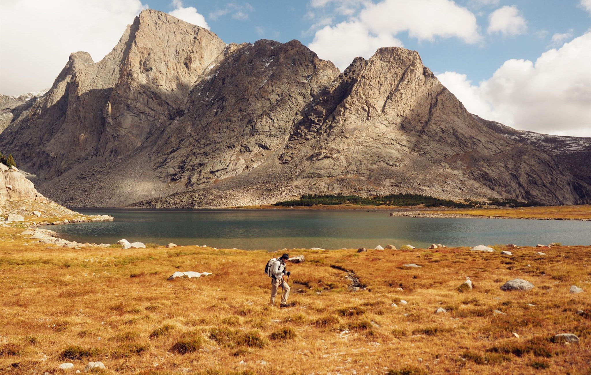
Like in the Wild West – hiking on the Oregon Trail

Unforgettable MTB Adventures – IMBA Epic Trails in USA and Canada
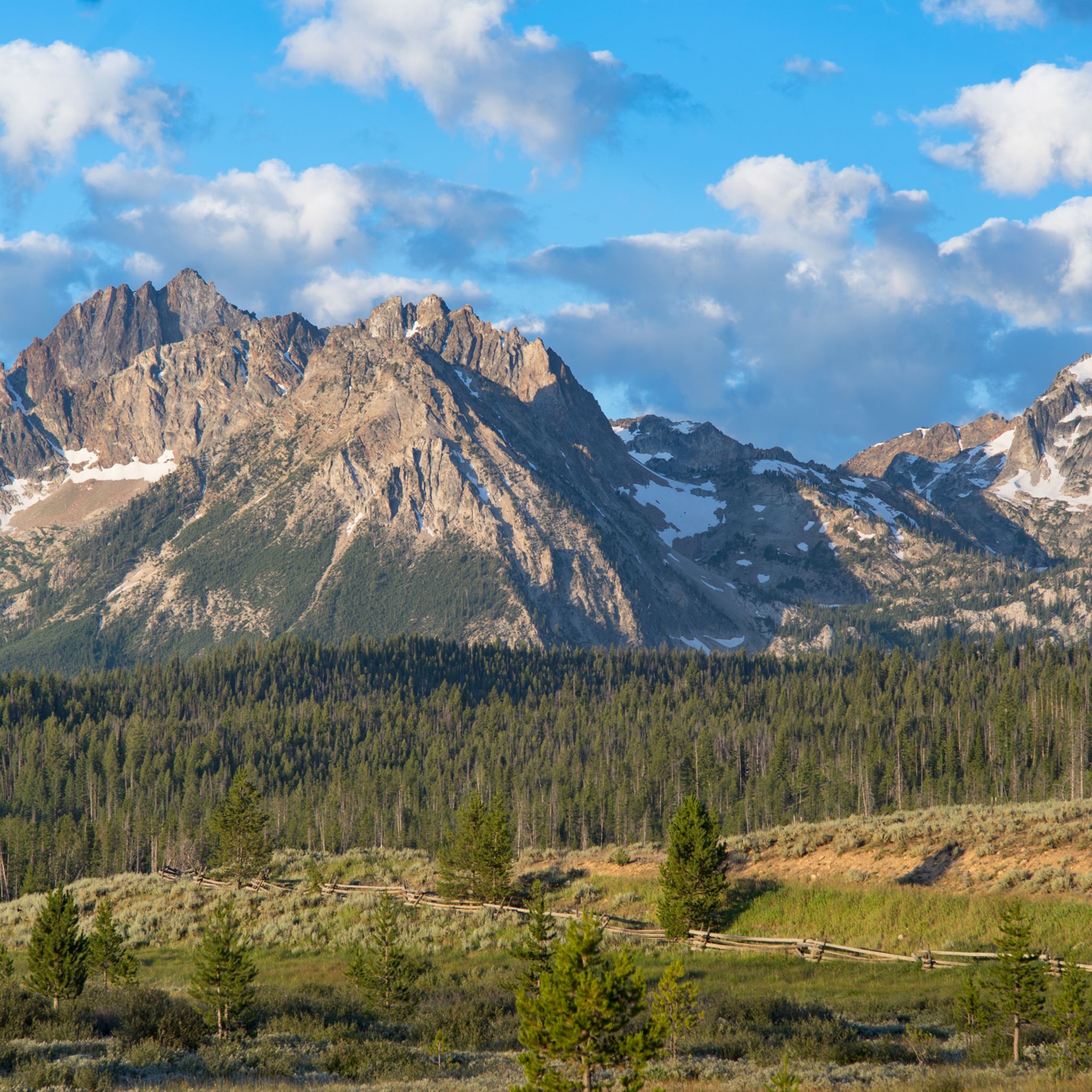
Hiking in the Sawtooth Mountains
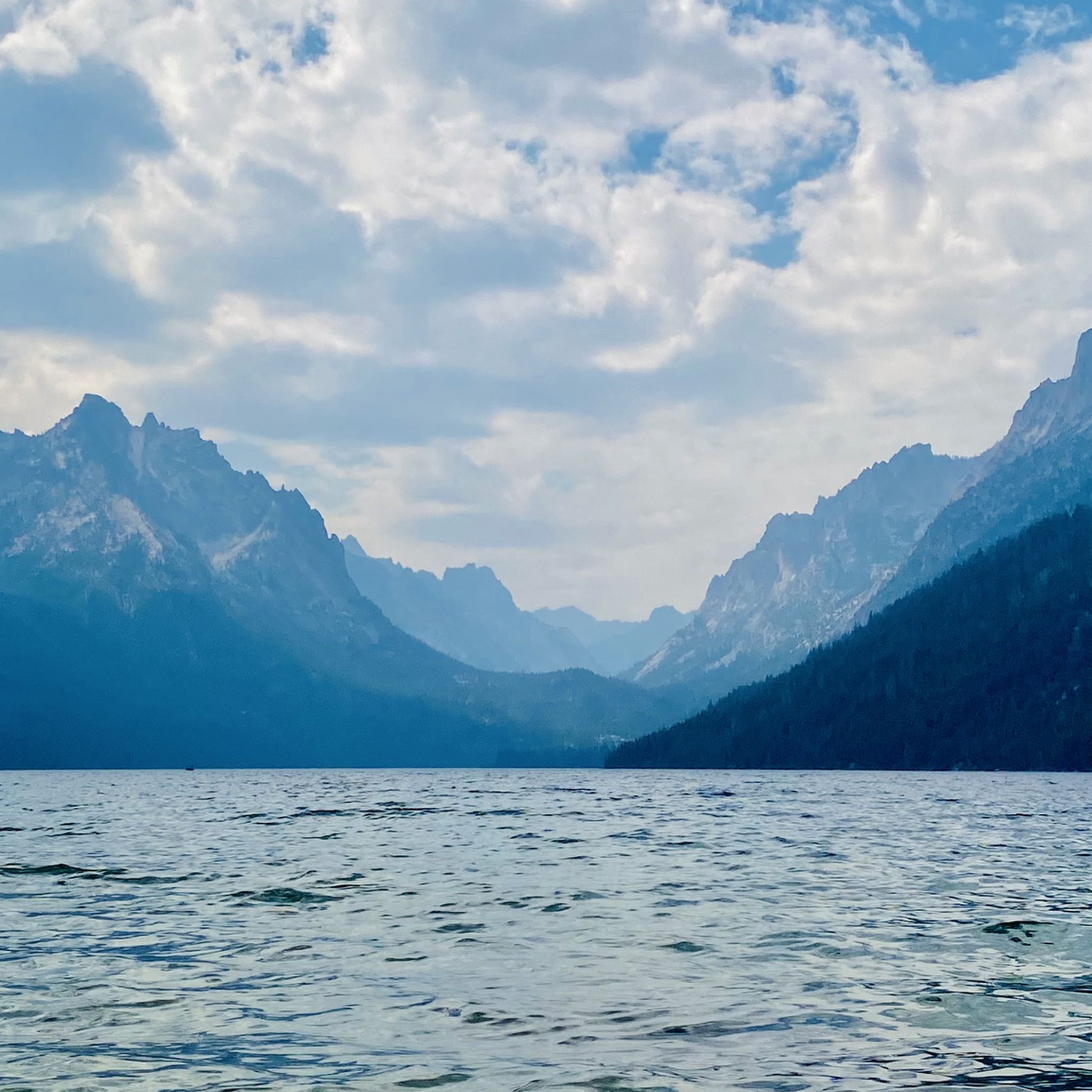
MTB Trails in the Sawtooth Mountains
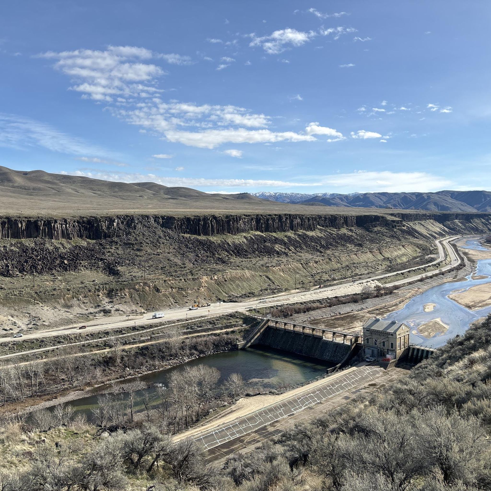
Running Trails in the Sawtooth Mountains
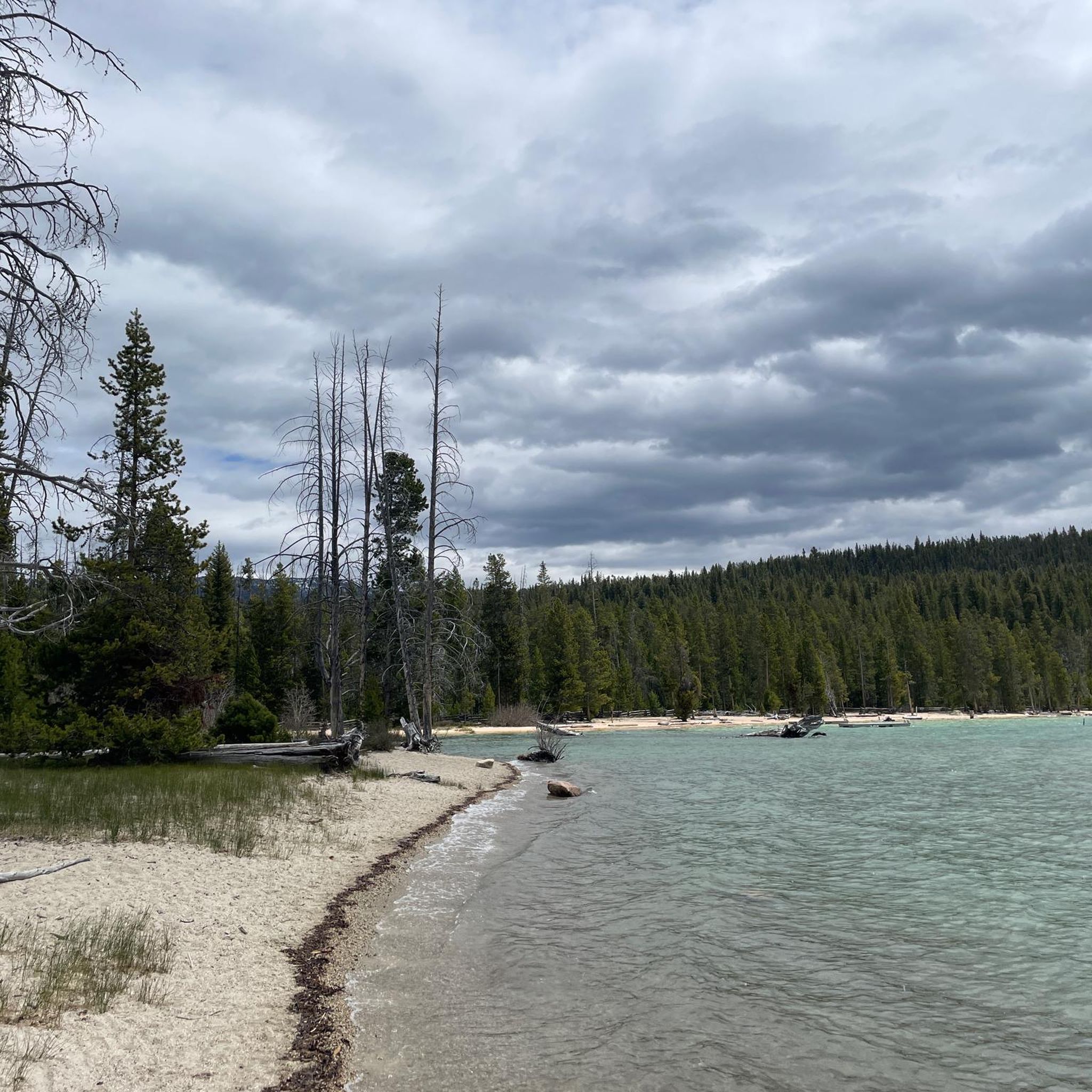
Road Cycling Routes in the Sawtooth Mountains

Gravel biking in the Sawtooth Mountains


Tips from the Community

Fay would love for you to take a rest on her bench in a section of the greenbelt with a lovely view of trees and the river. You might see some wildlife if you stick around to have a snack. If you're up to it, stop into the MK Nature center, the entrance is to your left. There you can see the fish pond and you might see Lonely Larry - an 8 ft long Sturgeon!
0
0

Thomas Davis helper create this park as a memorial to his wife by donating 43 acres of land in 1907. This makes Julia Davis the oldest park in the city and it is home to the Boise Rose Garden and the zoo.
0
0

Camel's Back is an incredible area that provides opportunities for quick breaks from the day to all day hiking activities. It is probably known best by its iconic set of steep stairs installed a few years back.
0
0

North Cartwright Road is a quite, scenic road north of Boise with several mountain bike trails crossing over it. It's a fun road to descend.
1
0


Winding through Boise for 25 miles, the Boise River Greenbelt is a favorite hiking destination. With its tree-lined paths along the river, it offers scenic views and wildlife sightings. However, it's also a popular biking spot, so hikers should stay alert for cyclists zooming by.
0
0
Covering 25 scenic miles in Boise, the Boise River Greenbelt is a beloved biking destination. With tree-lined paths tracing the river's edge, cyclists can enjoy stunning views, wildlife sightings, and easy access to riverside parks, making it perfect for biking adventures.
0
0

Cyclists, immerse yourselves in the enchanting beauty of Ketchum along the Wood River Trail. This scenic route winds through picturesque landscapes, tracing the Wood River's charm. Lush forests, mountain vistas, and smooth paths create an idyllic cycling haven, inviting riders to savor nature's embrace on this captivating trail.
0
0
Frequently Asked Questions
How many touring cycling routes are available in the Sawtooth Mountains?
There are over 70 touring cycling routes available in the Sawtooth Mountains, offering diverse options for cyclists. These routes are highly rated by the komoot community, with an average score of 4.9 stars.
What are the difficulty levels of touring cycling routes in the Sawtooth Mountains?
The Sawtooth Mountains offer a range of routes suitable for various fitness levels. You'll find 29 easy routes, 22 moderate routes, and 20 difficult routes, ensuring options for a relaxed ride or a more challenging adventure through the rugged landscape.
Are there any family-friendly touring cycling routes in the Sawtooth Mountains?
Yes, several routes are suitable for families. The Bike loop from Lucky Harris 13 is an easy 12.5-mile path with gentle elevation changes, perfect for a relaxed family outing. The Boise River Greenbelt, while outside the immediate Sawtooth range, also offers user-friendly, scenic rides.
What natural features and landmarks can I see along the touring cycling routes?
The Sawtooth Mountains are rich in natural beauty. You can expect dramatic peaks, numerous alpine lakes, and evergreen forests. Routes often wind along scenic byways like the Sawtooth Scenic Byway, offering continuous views of the majestic Sawtooth Range and the Salmon River. You might also pass by highlights such as Sandy Point Beach at Lucky Peak State Park or the serene Redfish Lake Marina.
Are there any circular touring cycling routes in the area?
Yes, many routes in the Sawtooth Mountains are designed as loops. For example, the Quinn's Pond – Boise River Greenbelt loop from Albertsons Stadium is a 15.6-mile circular trail that follows the Boise River Greenbelt and passes Quinn's Pond. Another option is the Boise River Greenbelt – Boise River loop from North Hill, a 20.5-mile route offering a scenic ride along the river.
What is the best time of year for touring cycling in the Sawtooth Mountains?
The best time for touring cycling in the Sawtooth Mountains is generally from late spring through early fall (May to October). During these months, the weather is typically mild, and most roads and trails are free of snow. Summer brings vibrant wildflowers and full access to alpine areas, while fall offers stunning foliage.
Can I spot wildlife while cycling in the Sawtooth Mountains?
Absolutely. The Sawtooth Mountains are a haven for diverse wildlife. Cyclists often have opportunities to spot elk, mountain goats, bighorn sheep, black bears, moose, and various bird species, including bald eagles, especially in quieter areas and during dawn or dusk.
What towns are good bases for touring cyclists in the Sawtooth Mountains?
Gateway towns like Stanley, Ketchum, and Sun Valley serve as excellent access points and bases for exploring the Sawtooths. They offer amenities such as accommodation, cafes, and pubs, making them convenient starting and ending points for your cycling adventures.
Are there any routes that offer significant elevation gain for a challenge?
For a more challenging ride with significant elevation gain, consider the North Cartwright Road – Seaman's Gulch loop from Hidden Springs. This difficult 22.2-mile route features over 1,970 feet of ascent, providing a demanding workout amidst scenic landscapes.
What do other touring cyclists enjoy most about cycling in the Sawtooth Mountains?
The area is highly rated by the komoot community, with an average score of 4.9 stars. Reviewers often praise the continuous views of the majestic Sawtooth Range, the variety of routes from easy to difficult, and the serene experience of cycling alongside rivers and through evergreen forests. The well-maintained scenic byways are also frequently highlighted.
Are there any moderate-difficulty routes that offer a good balance of challenge and scenery?
Yes, for a balanced ride, the Wood River Trail – Big Wood River loop from Hailey is a great option. This moderate 28.7-mile route takes you along the Wood River Trail and Big Wood River, offering beautiful scenery and a manageable challenge. Another moderate choice is the Penny Mountain – Hemingway Memorial loop from Sun Valley, a 15.5-mile ride with notable climbs and descents.
Where can I find routes that pass by lakes?
The Sawtooth Mountains are famous for their alpine lakes. While many routes offer distant views, you can find specific highlights like Pettit Lake & trail junction or Alpine Lake that are accessible from various trails and roads in the region. The Boise River Greenbelt – Quinn's Pond loop from Old Idaho Penitentiary also passes by Quinn's Pond, offering a waterside cycling experience.
Most popular routes in the Sawtooth Mountains
Most popular attractions in the Sawtooth Mountains

Get inspired with the komoot mobile app


Explore more
Browse the best Cycling routes in other regions.
